Desert Southwest (CO,AZ,UT,NM), Trip Reports » Bikepacking on the Colorado Trail (2006) Part 1
“Wanna?” Mike Curiak asks me, less than two weeks before leaving.
“Yes, yes” is my reply.
I know where the Colorado Trail starts and ends (roughly), and have ridden two tiny pieces. Otherwise, I’m clueless. I try to stay ignorant in the days leading up to the trip, a reaction to over-planning previous trips and races. But we do need a plan for getting around wilderness, so I end up looking over the route in TopoFusion, compiling GPS data.
Basically, though, I don’t know what I’m getting into.
“No sleep deprivation. Minimal night riding,” he says.
Later, when discussing batteries, he says to plan for 2 hours of night riding, per night. Minimal…?
I ride Red Rocks and Dakota Ridge two days before the start and see that despite 2 weeks of rest, my legs are still dead. Only one thing is guaranteed: suffering.
We ride bike paths from Golden to Waterton Canyon. It’s Saturday and the road is packed with tourists such as ourselves. The gentle warmup means my legs are ready to attack the singletrack.
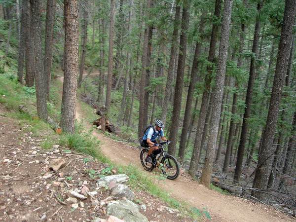
By afternoon, climbing from the South Platte, I’m falling apart. Legs tighten, cramp, burn, ache — you name it, I don’t know how to describe it. I start thinking about the nearest exit to a highway, any highway. Something about 300/142/360 mile races in ~6 weeks (AZT/KTR/GLR) is not agreeing with my legs.
I need to see how I feel in the morning, so I keep moving. ‘sides, I’m just happy and lucky to be out.
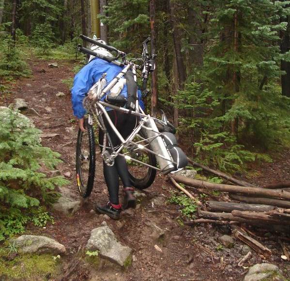
???
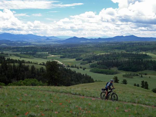
Meadows near Kenosha Pass
After being charged $4.00 for water at the campground, we’re off to climb Georgia Pass (11,800 feet). Thunder crashes chase us up the valley. Treeline is not a good place to be. My legs burn, but there’s a reason for the suffering, so I don’t mind.
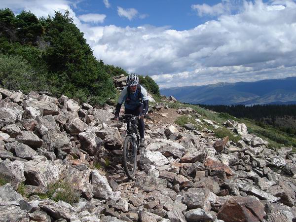
Technique was, at times, required.
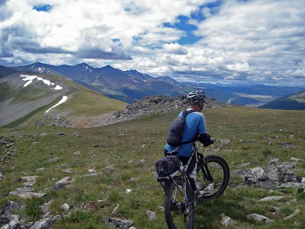
So was pause and reflection…
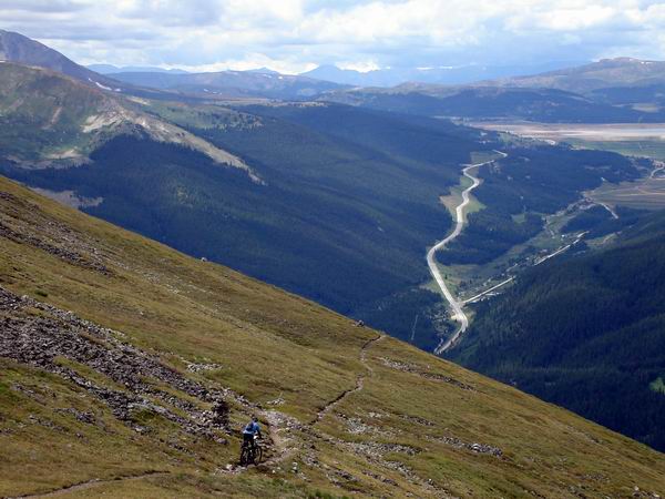
At some point, Mike looks at his GPS and notices only 20 hours of moving time (in two days). “Man, we really are touring…” ??
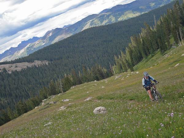
Darn flowers… such a distraction.
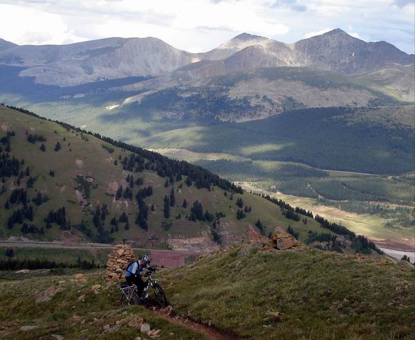
Swiiiitchbacks!!
The trail from Copper Mtn to Leadville will not soon be forgotten. Made the whole trip worthwhile.
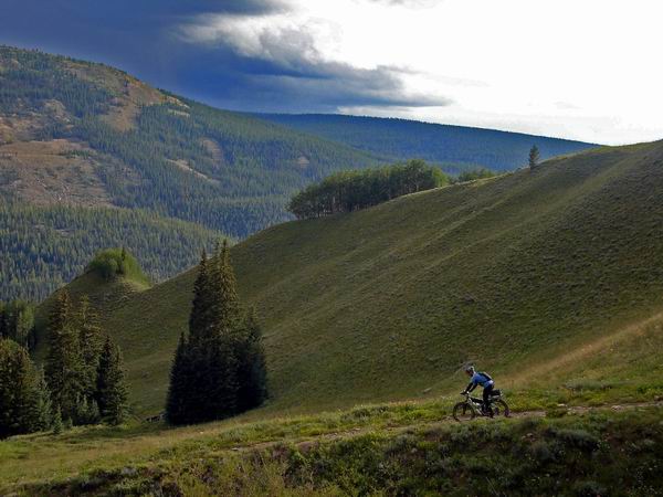
The CT is surprisingly rideable, but often in the trees with no views.
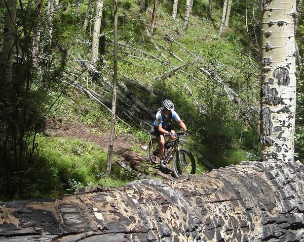
Mike vs. giant aspen
After Leadville the pattern is:
1. Hike-a-bike up
2. Traverse for some distance around 10,000 feet
3. Descend, usually on a road, to cross a major drainage
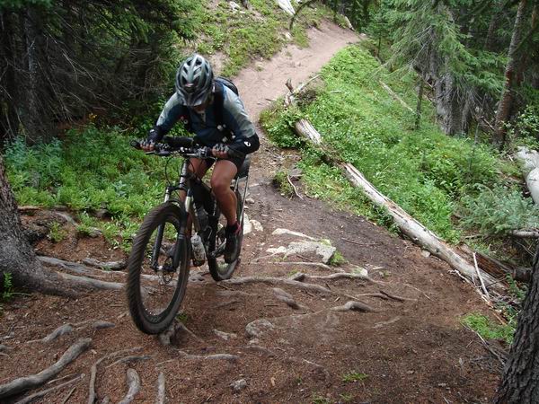
Some people rode more than others
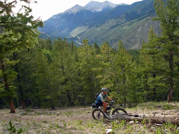
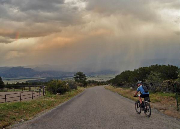
“Umm, I think it’s raining over there…”
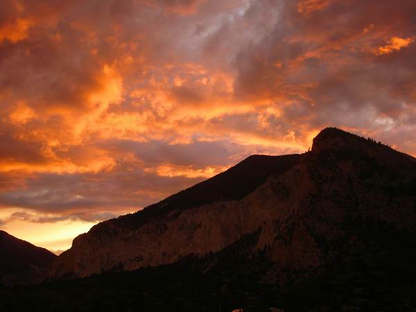
Thunderstorms every day, dead legs. I pulled the plug while I could. This tour was supposed to be “fun”, not a sufferfest. Regardless of pace or rest I couldn’t climb steep hills. So I bailed in Salida.
Mike left Absolute Bikes as dark clouds collected along Monarch Crest. I kept looking in his direction, wondering how it was playing out.
“Too much lightning for one man for a lifetime, all in one day.”
He bailed out on highway 114, and we’re now waiting for a break in the weather so we can finish.
Highlight of the trip (besides the epic day from Breck->Leadville) was Mike’s can of cheese-whiz exploding inside his pack. Apparently this was his first rodeo.
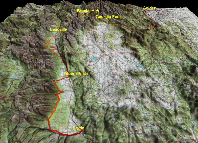
TopoFusion maps/profile:
Part 2, to come…

Hi!
I was wondering when it would be the latest date you can start touring the CT. I am thinking to start around 15-21 of September from Denver to Durango and employing around 2 weeks. Is this schedule safe enough?
Thanks!!
Hey, I’d recommend heading over to the forum. There’s already a discussion about those riding the CT next year. Try asking your question over there.
http://www.bikepacking.net/forum/index.php?topic=94.0