Better late than never!
This trip was almost 3 years ago but a recent inquiry from Cass reminded me I never got around to any kind of writeup. I got all nostalgic and started starting at the photos again. Yep, gotta share it.
The big picture: I was in Bolivia for a month meeting up with my girlfriend Julie who had been traveling through Peru. This would be my second bike trip in Bolivia and my third in South America. I could easily keep going back every year. The potential for adventure biking in much of South America is staggering especially Bolivia. With the short window of time, instead of hauling down 2 bikes, I brought a duffel bag full of camping gear, bike bags, clipless pedals and 2 pairs of 26x2.25 marathon extreme tires... we rented bikes from Gravity in La Paz and did a warm up acclimatization loop out of Sorata. I posted that trip on this forum when we first got back.
After our warmup near Sorata, Julie and I scrounged for beta on a bikepackable route in the Cordillera Real. We met a fellow named Travis Grey (Andean Epics), and he described a route that skirted the sides of Nevado Illimani dropped 10,000' down, then climbed back up, traversed the Cordillera Qusima Cruz and ended up a few hundred miles later in Cochabamba in the low lying planes. All this drawn out on a National scale map where 1" = 50km. He had done the route solo in 10 days a few years earlier and made it sound like no problem. Turns out Travis is a supreme bad ass, we would learn this over and over again.
A little more info was needed and we eventually ended up scoring another hand drawn map from another local that knew the area well... She described the enormous climb out of the Rio La Paz canyon without any water and just shook her head at the thought of biking.
Humm...
I checked into an internet Cafe in La Paz and tried to commit google maps satellite images to memory, following faint lines a key question mark was revealed when a pivotal right hand turn was found at 14,000' taking abandoned tin mining roads around Illimani... hand drawing more maps and committing the screen to memory - it would have to do. Feeling moderately comfortable with navigation for about the first 2 days away we went!
Getting out of huge Latin American cities is not my favorite past time...
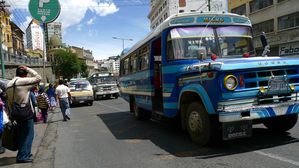
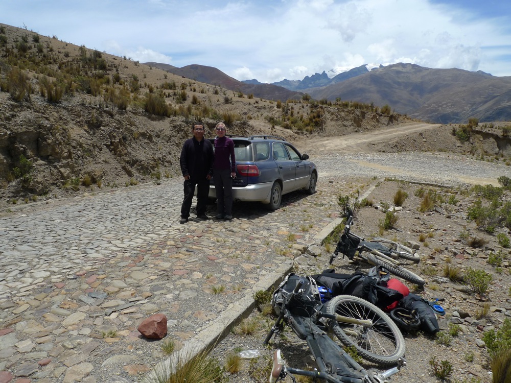
So we hired the brother of our guest house owner to give us a ride out of La Paz.
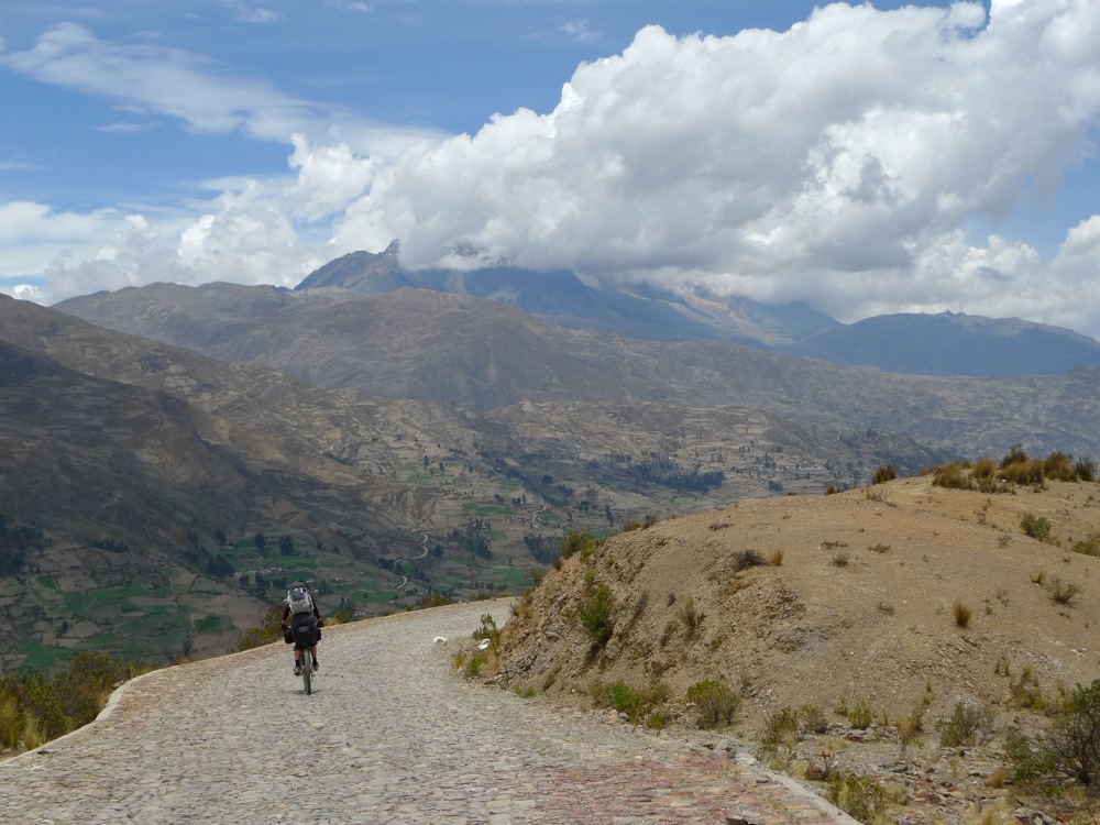
A bit of climbing, then a cobblestone descent to Palca. Illimani looms in the background. We spend the next few days skirting right below the mountain.
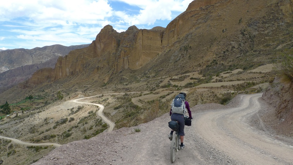
The outskirts of La Paz have geography similar to Bryce nat. park. The local downhill crowd has some amazing lines all over Muela del Diablo back there.
We missed a turn and descended into Palca, we could have saved ourselves some climbing but we got the chance to plow down another meal of fried chicken, french fries and cokes.
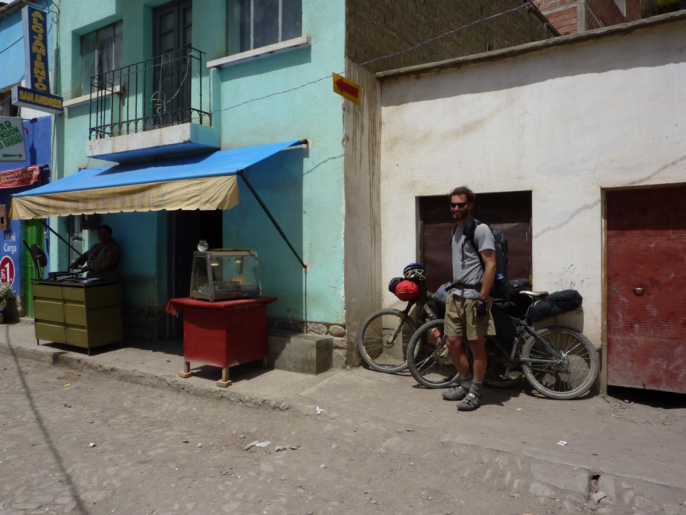
The mid day sun was oppressive. We pushed a solid hour out of Palca on the cobblestones before heading out on the road that passes over the Cordillera Real to Chulumani.
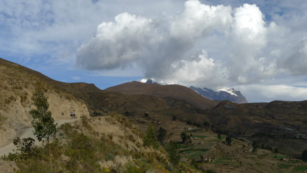
A bit of evening Llama rush hour.
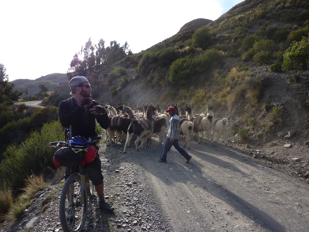
higher still, green fading to brown.
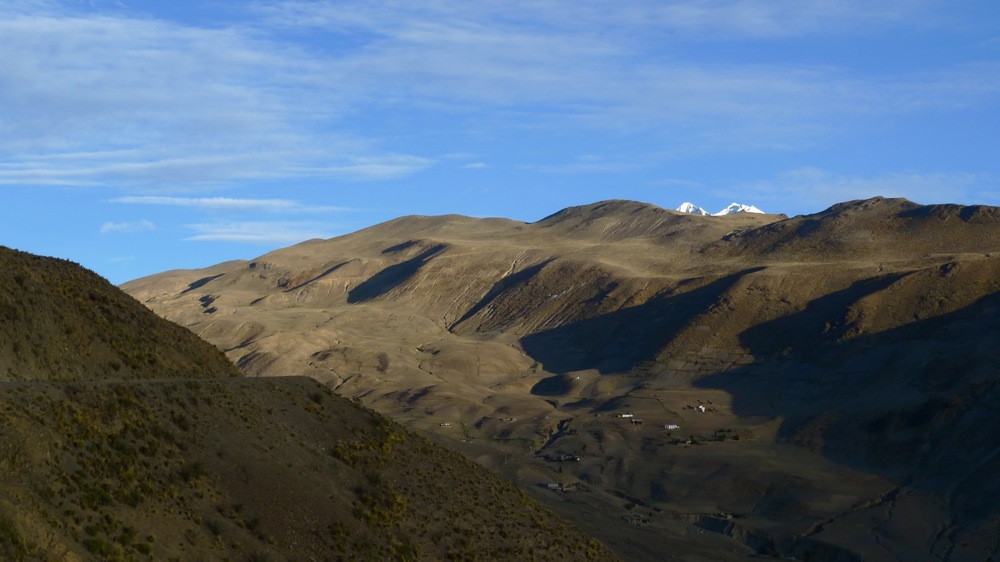
good night llama's
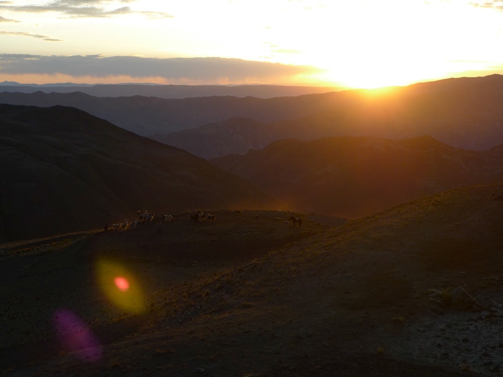
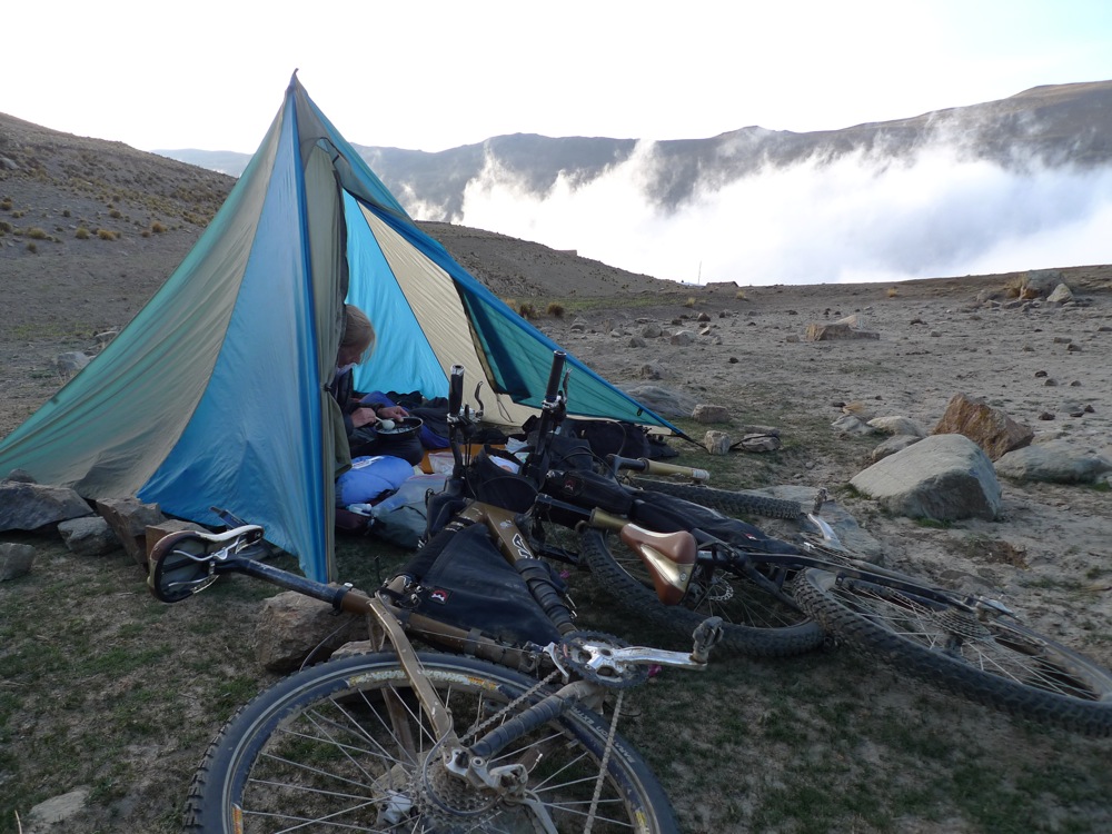
Our first night out at around 12,500', for some silly reason I opted to bring a synthetic bag and a pad too thin. I never slept that great due to the freezing night temps and rock hard ground. oh well next time I know better. Other camping gear notes, BD mega light, XGK stove burning gasoline.
Our morning greeters,
If there are llamas around I'm happy, I just love them so I was very happy here.
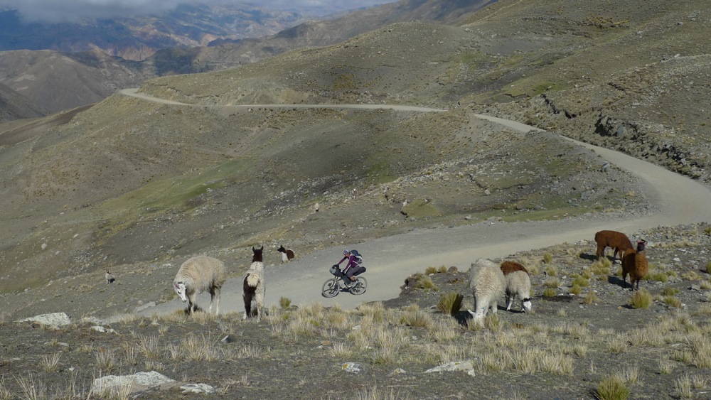
We peddled up and found the key right hand turn onto the abandoned mining road that I had spotted on Google maps. The road was still in surprisingly good shape and we kept grinding past 14,000'.
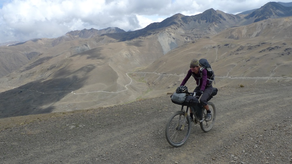
Cresting a small pass we headed down past a few settlements. Llamas and potato patches.

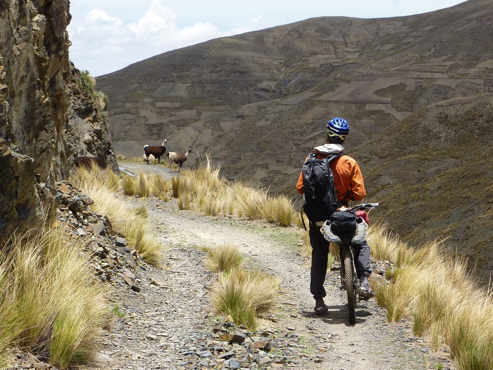
Pretty soon the road ended at a small landslide. Poking around we found a singletrack around it and kept riding. It was pretty clear now why there were so few vehicle tracks on this route thus far!
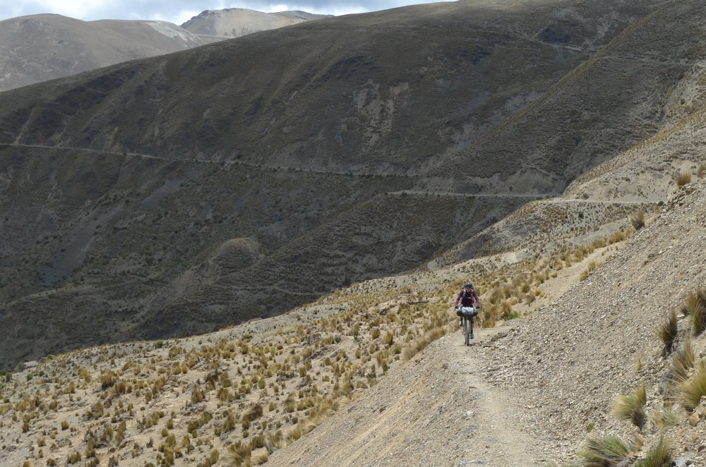
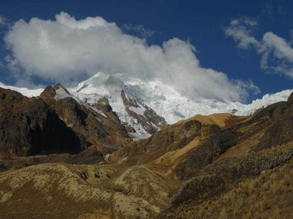
I just about shat myself when we rounded this corner. I was "beyond" stoked to be up here riding this path. 21,000' mountain right in our faces.
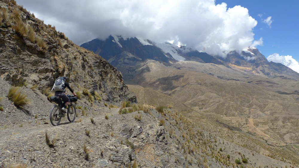
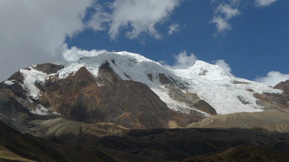
For the rest of the day we climbed and descended glacial moraine ridges at seemingly arm's length to the glaciers.
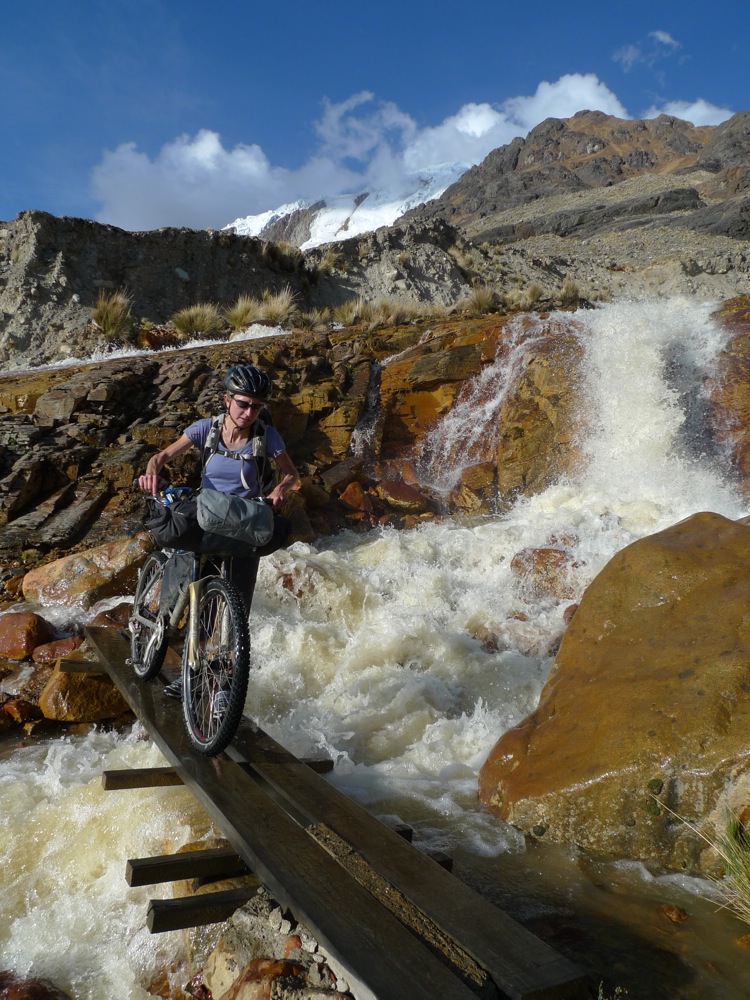
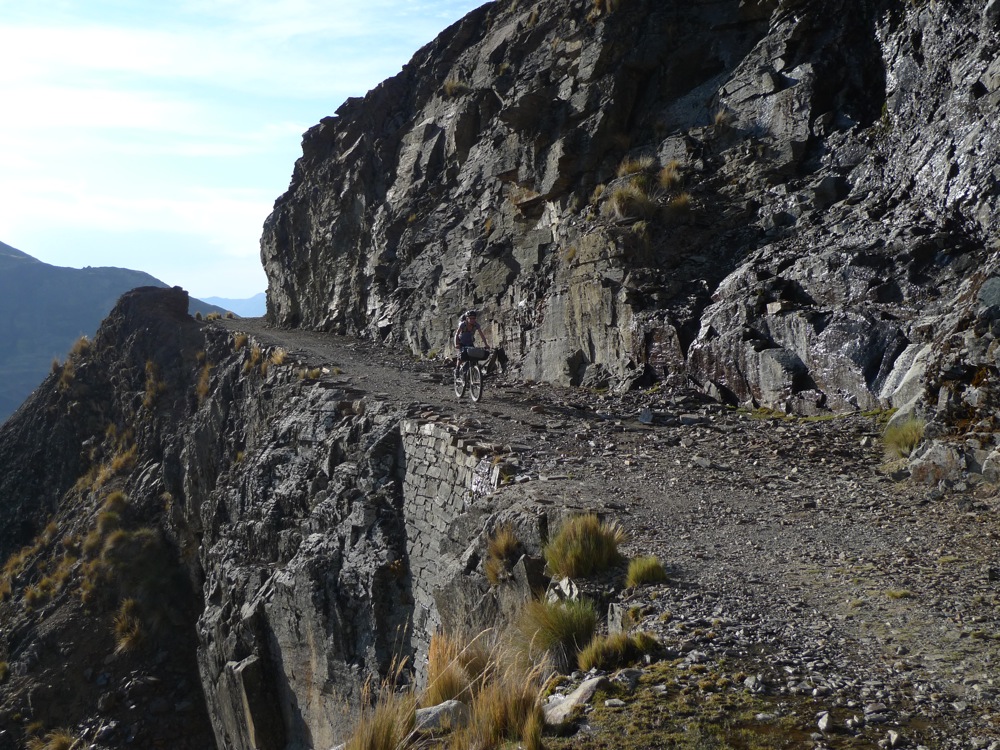
many times you could see trails climbing up into the rocks and spot mine shafts where miners hacked tin ore from the rocks at over 15,000'
we were just lucky enough that they made decent roads...
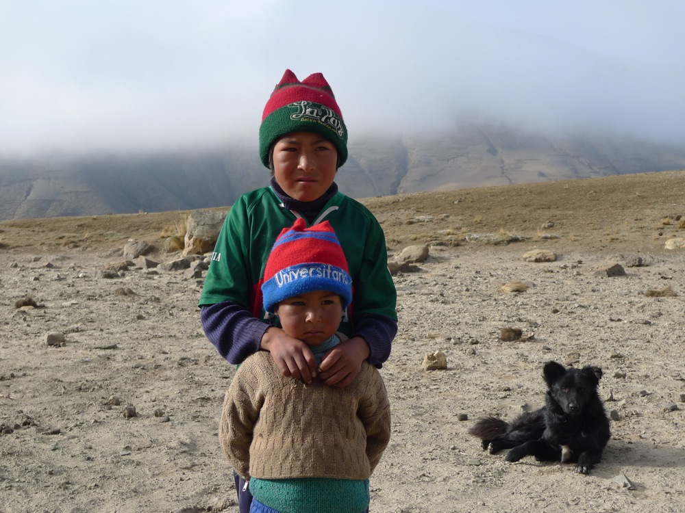
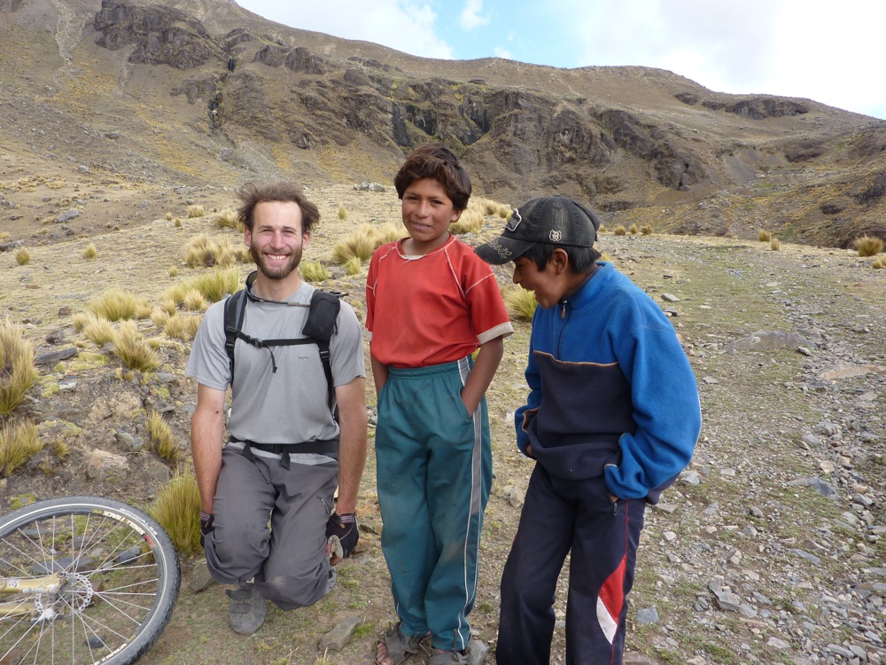
These 2 boys we surprised as they were swimming in a pool of glacier melt water. Once they saw us coming they jumped into their clothes and ran over to say hi. The older one's name was Ernesto and they were in charge of 36 llamas and 12 cows foraging in the area. Their home was about 1,500' vertical below us. They raise them tough out there that's for sure.
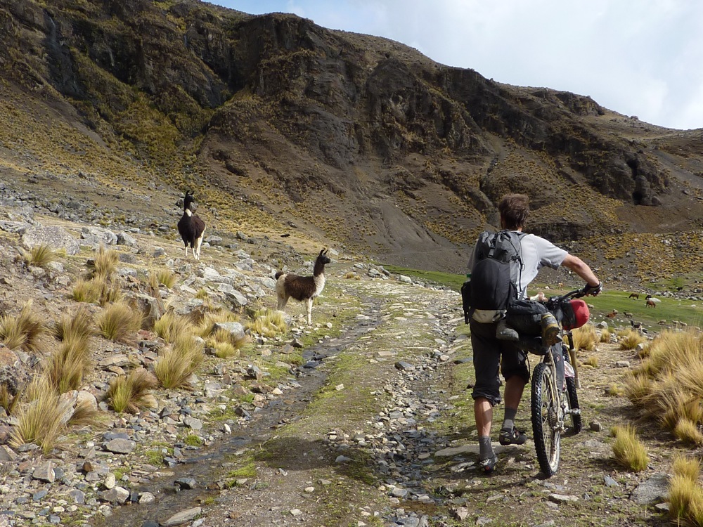
more llamas!
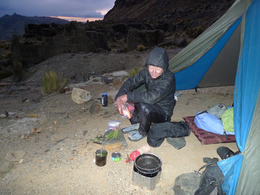
Camping for the night at almost 15,000'. It was chilly. Julie is really into eating veggies when traveling. Me not so much, give me cheap pasta a slab of butter and I'm happy. Half her frame bag held that bag of carrots, onions and fava beans, that with some bad tuna and coca leaves keep her going and going

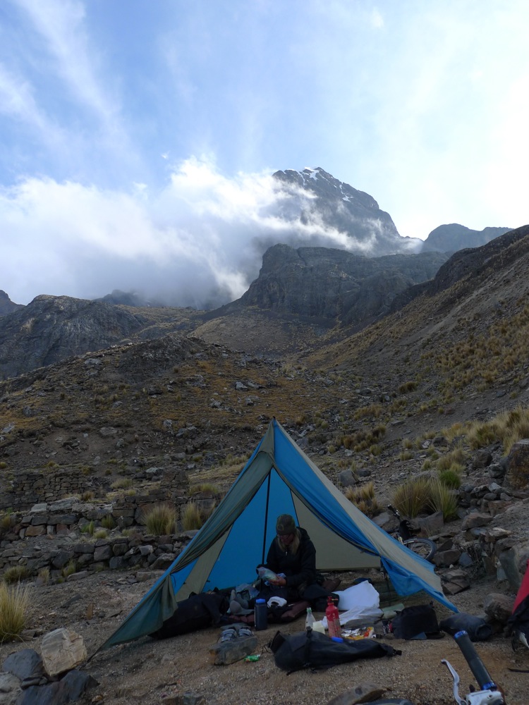
We both woke up with a bit of unease about what the day had in store for us. We had made our way around much of the mountain and knew the massive descent to the Rio La Paz was before us. But for now we savored the thin alpine air.
After a short climb we found an initial descent. Many paths criscrossed the area so we spent a bit of time scouting out the choices.
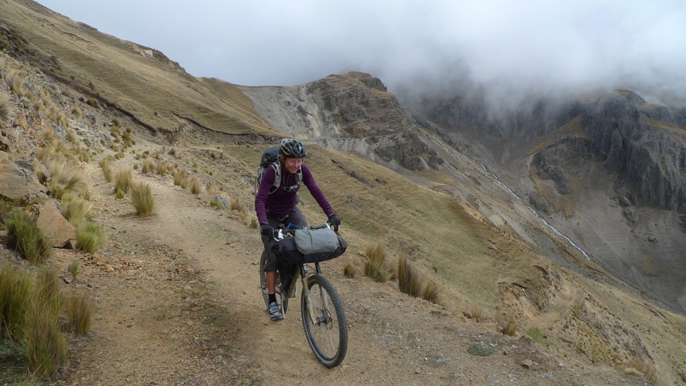
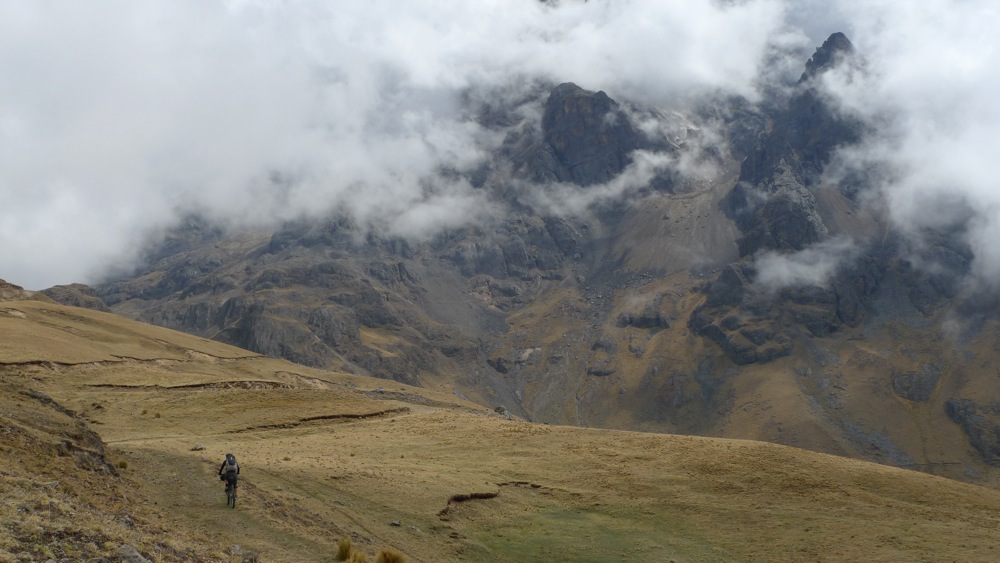
Descending switchbacks, Really fun riding here.
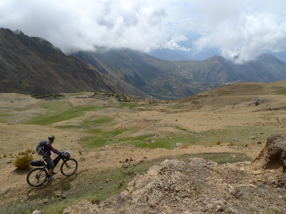
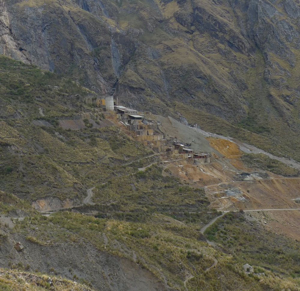
The semi abandoned mine, Mina Uriamani.
dropping down further we intersected a traveled road and a little village perched on the mountainside. The huge descent into the canyon was looming and Julie was on edge about starving out in the desert. Rightfully so. We found a little tienda and stocked up on crackers, cookies and incredibly stale bread. School had just let out and we were the source of gringo jokes and attention for a bit.
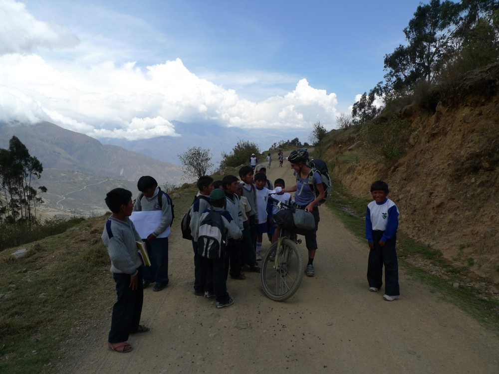
and down we plumeted.
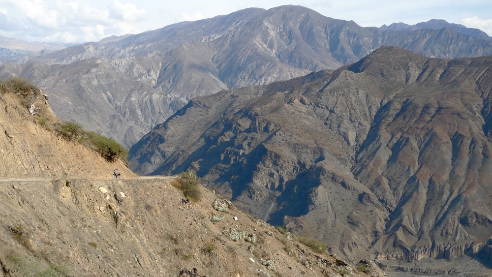
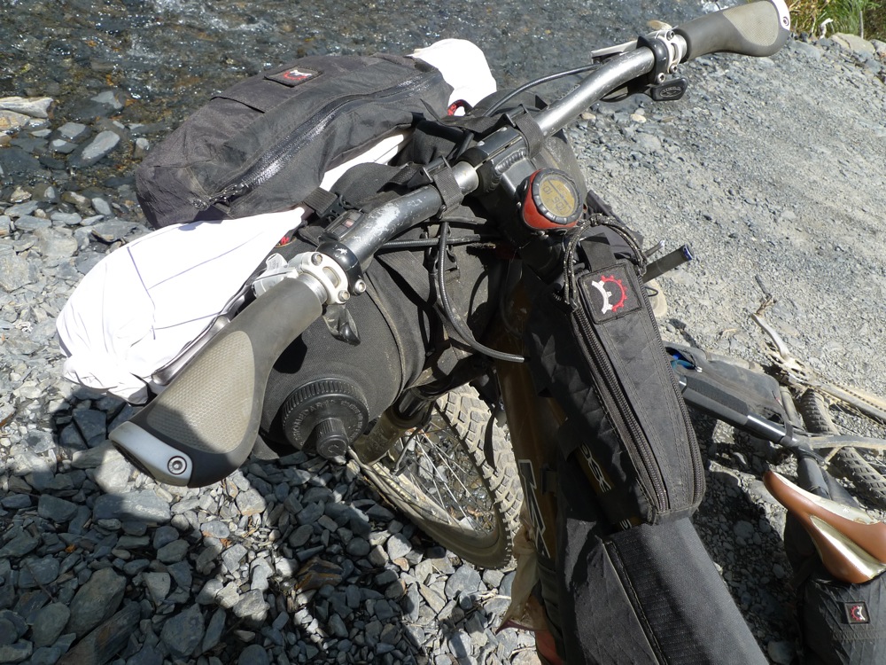
with a dry camp and no water for much of the next day I stocked up big time on water. This is not the most stable place to hold 10L but it worked ok for going downhill. Even though there was a river at the bottom it flows brown with sediment and drains all of the city of La Paz - enough said on drinking that.
The mega switchbacks out of the canyon into the Araca valley.
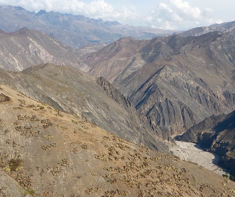
bombing down and leaving Illimani behind.
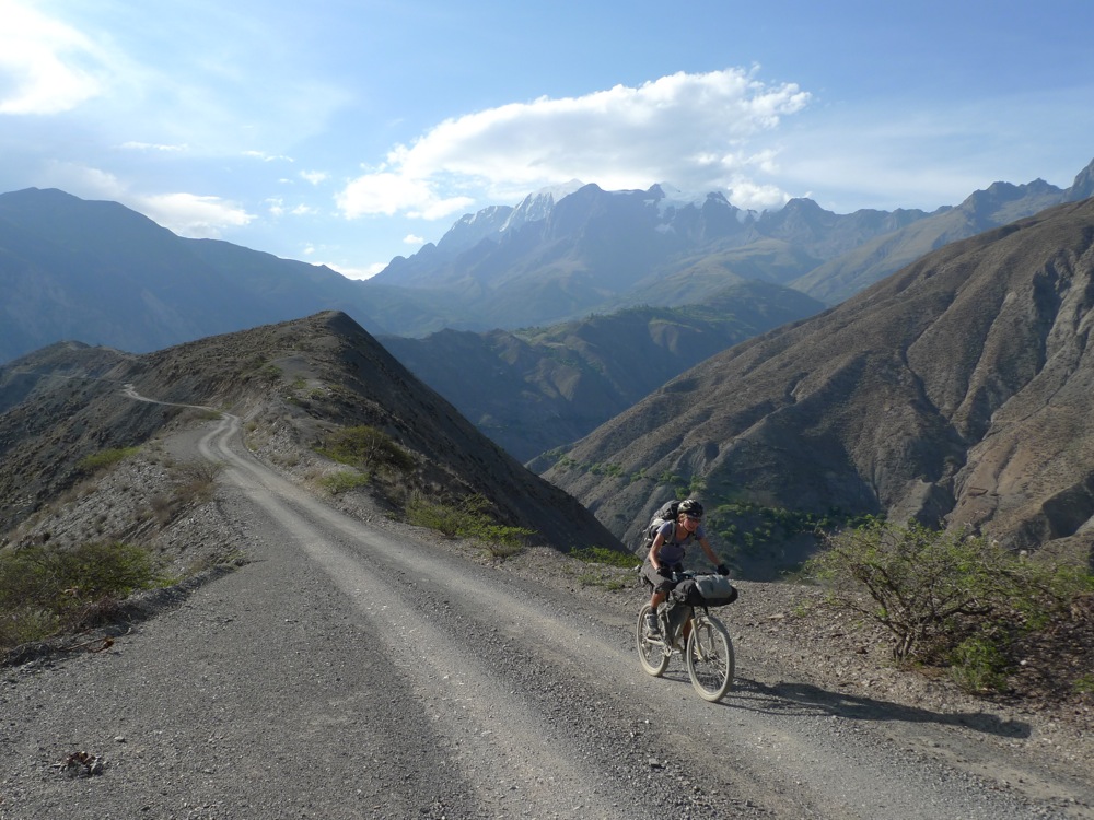
Julie was genuinely scared of what we were doing. "this landscape is going to devour us whole" were her words at one point. The only advice I could give was to take it one piece at a time and that we had decent provisions to give it a good push. Extremely few vehicles travel this road, we were guessing a weekly buss from La Pas but not much else. We hit the valley bottom almost 10,000 feet lower than we camped the night before. A hot and dusty wind made camping not so fun. Our strategy was to get going at 3:00 am to beat the heat and gain as much elevation as possible. flap flap flap went the megamid all night. I probably slept an hour, then the alarm went off. It's go time.

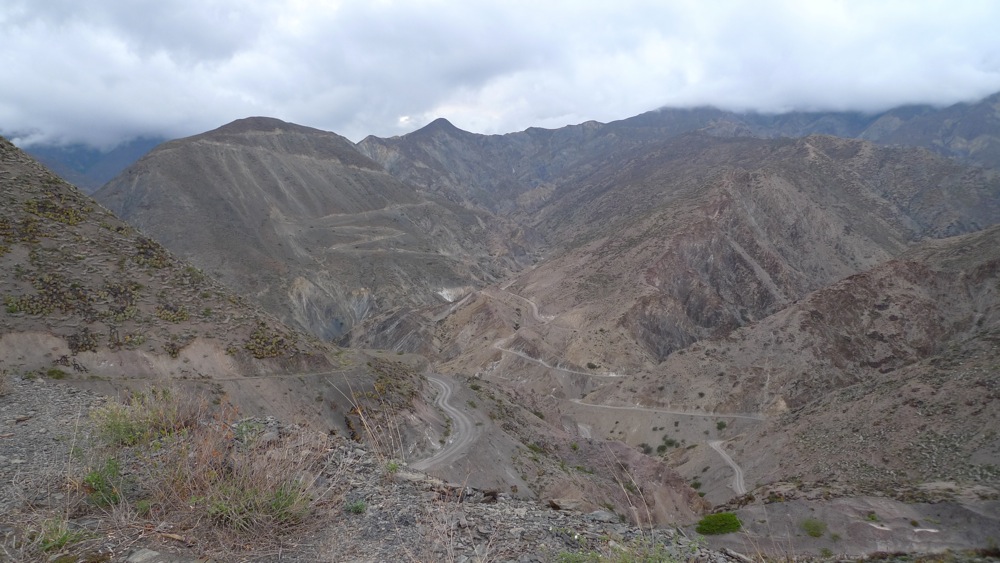
We started ticking off the steep switch backs from the river by headlamp, everything was about gaining elevation. We were lucky enough that the surface was in fairly good condition and made for easy grinding away 500, 1000, 2000' the sun came up as we made our escape from the Rio La Paz.
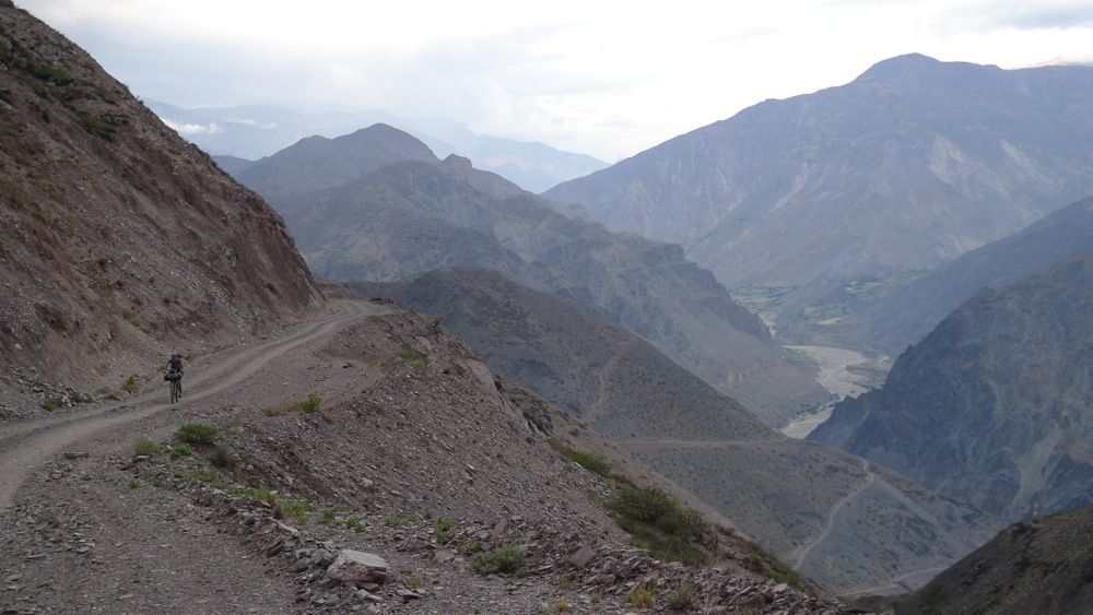
Just when we thought we were doing well we punched through a notch to see this, an 800-1000 descent followed by a wall to climb. Thanks roadbuilders...
Julie, feeling it at the top of that. Hot now...
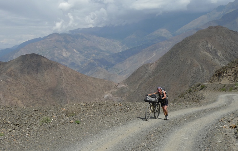
something happened right around here. We made some breakfast and patted ourselves on the back at what we had just come up. There was a fertile valley across from us and Julie's fears of death in the desert were eased for the moment. We turned off "mission mode" started touring again and took the time to smell the flowers.
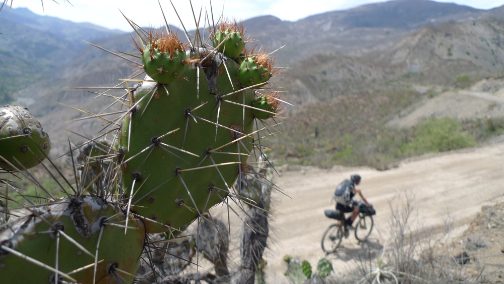
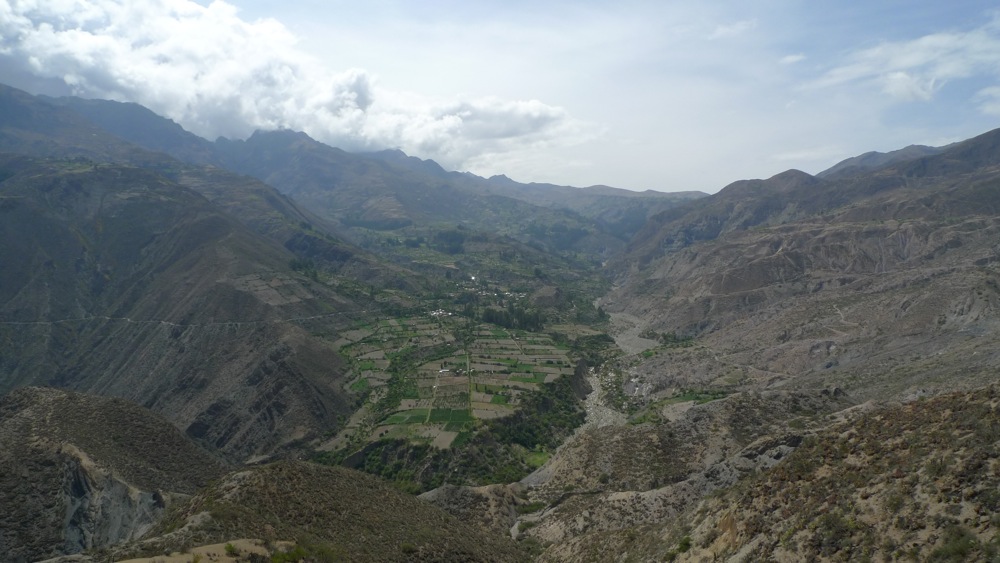
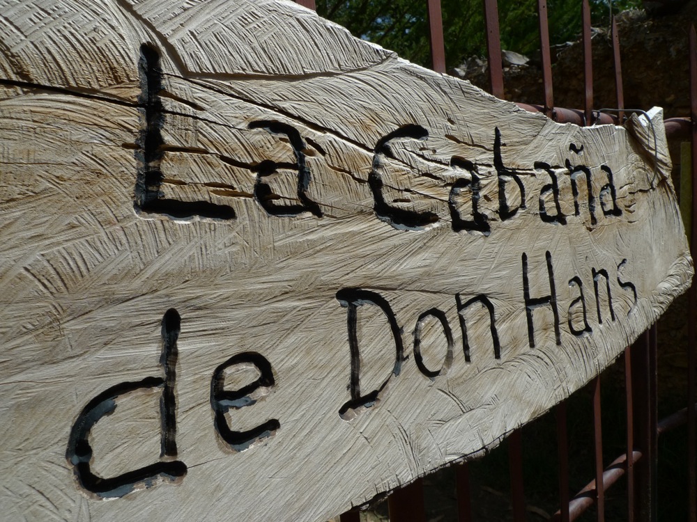
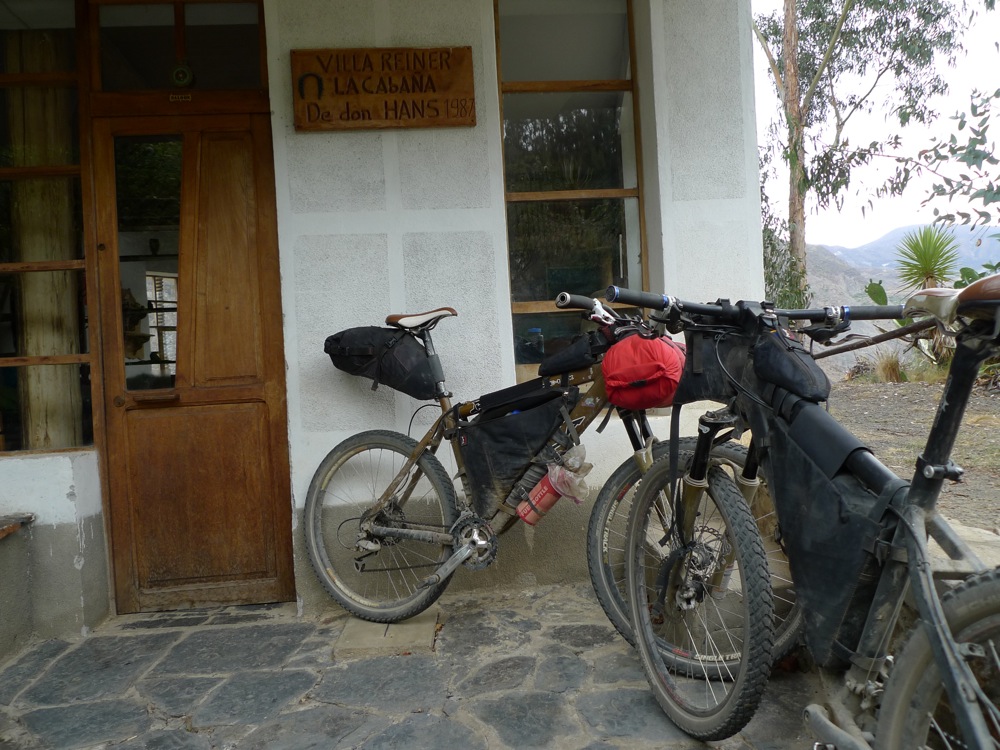
The Araca Valley, entrance to the Cordillera Qusima Cruz. One side of the valley here is fertile which receives melt water from the mountains, everything else is desert. The river in the middle is the obvious dividing line. We had beta that there was an eccentric character named Don Hans that lived in Araca somewhere. He lived on his Hacienda and had a guest house that he would put up climbers, scientists or whoever made their way back there. Turns out Araca is really spread out, once we crossed the bridge it was still 2 hours of climbing and pushing up steep and rocky tracks to find his place.
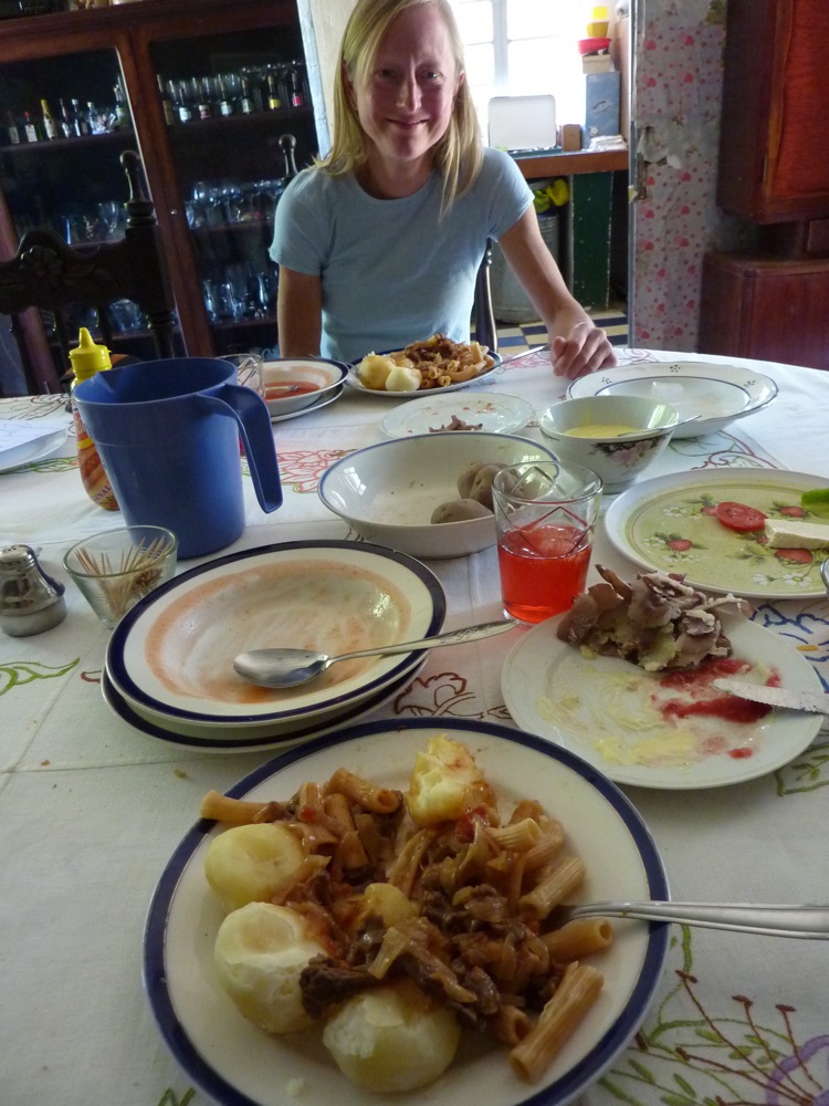
We were stoked to find it, we had no idea we'd be ending the day taking outdoor showers and devouring piles of potatoes and pasta.
live is good! notice the 4 empty bowls and the size of the one in front of me still.
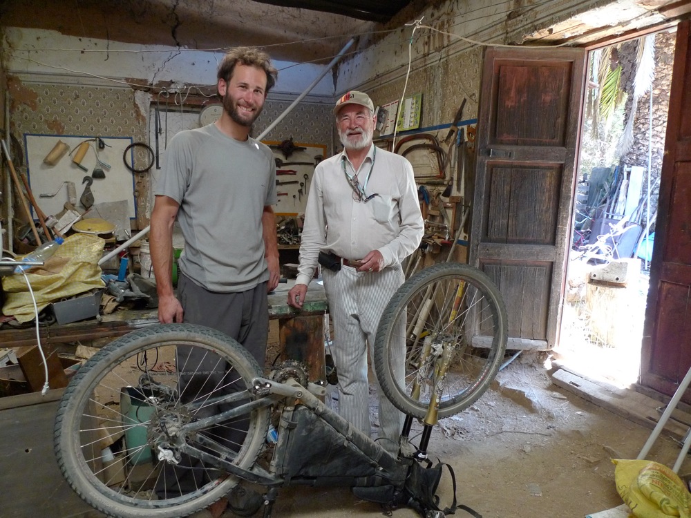
The man Don Hans himself. Born in Bolivia with German father. Don Hans could rebuild a transmission with one hand, while repairing a radio with the other all the while talking about climate change, politics and mastodon reproduction in the same sentence. He just killed us with his searsucker outfits and general demeanor.
part 2 next.