Day 2
I'm normally a night owl and not used to getting a lot of sleep. So going to bed by 10 meant I was waking up numerous times starting around 3am. When the sky first started to lighten I debated getting up. Instead I laid there and stretched my legs for a while since my feet were still trying to cramp on me. Finally got up once the sun appeared soon after 6. The wind from the previous night had mostly died down but it was still pretty chilly.
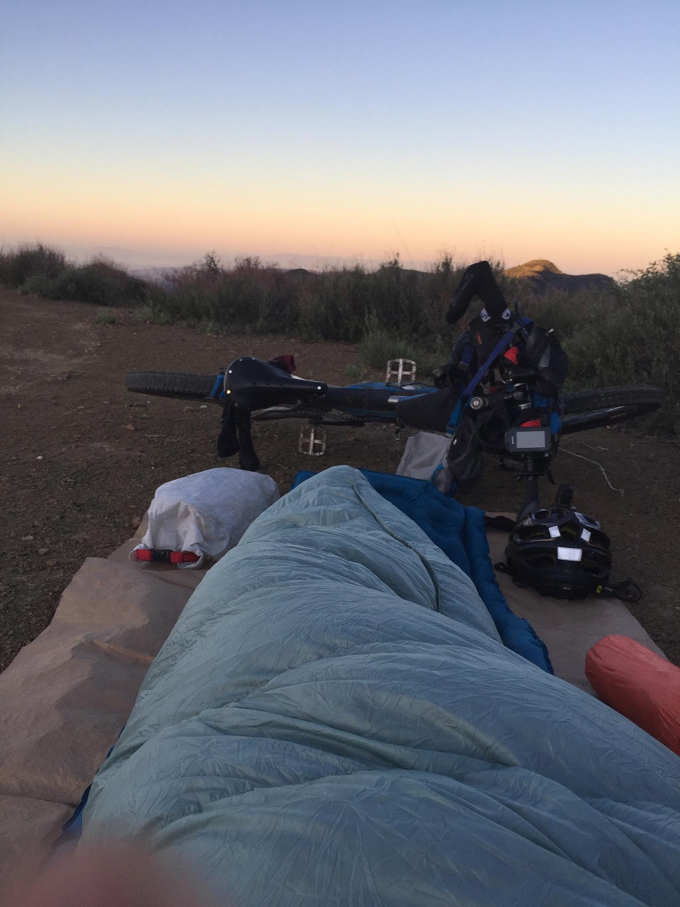
We ate breakfast and packed up. Right below our camp was the upper trailhead for Howard Creek Trail. I'd never heard of it but apparently it's popular with the gravel ride crowd with maintenance sponsored by some well known bike co's
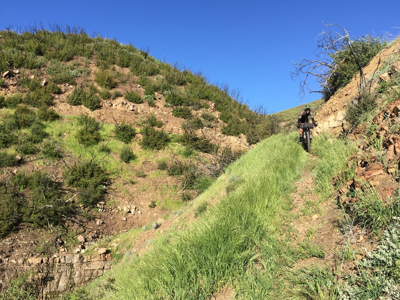
It seemed a bit rowdy for a drop bar bike but Gregg wasn't having any issues. Pretty nice trail!
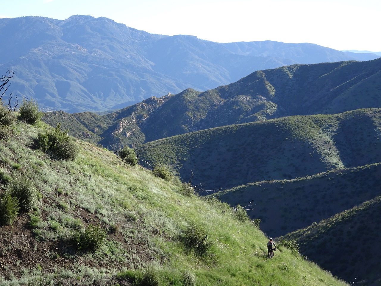
Lots of flowers out. After we descend to Hwy 33 we'd be climbing up and over the mountain range in the distance there
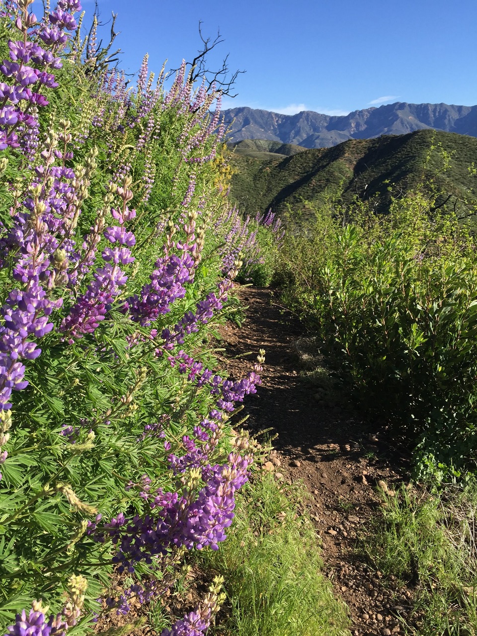
After an 11 mile pavement ride we started the 3,000ft slog up Chorro Grande Trail. The first couple miles of trail were mostly rideable then it was almost pure hikeabike for the final 3. Gregg had to chase a rattler off the trail lower down, the only one we'd see.
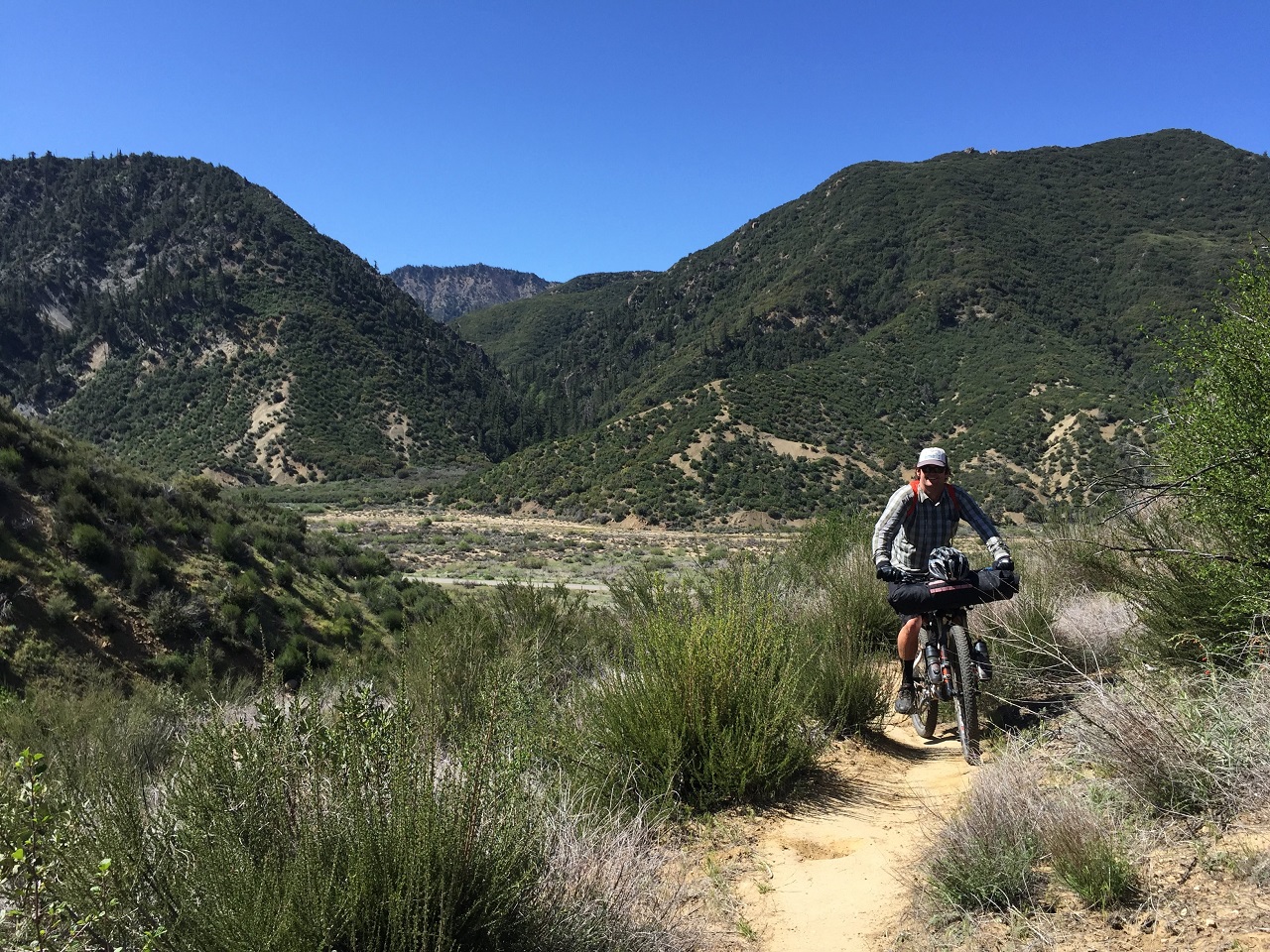
Views were great though and there was a nice breeze
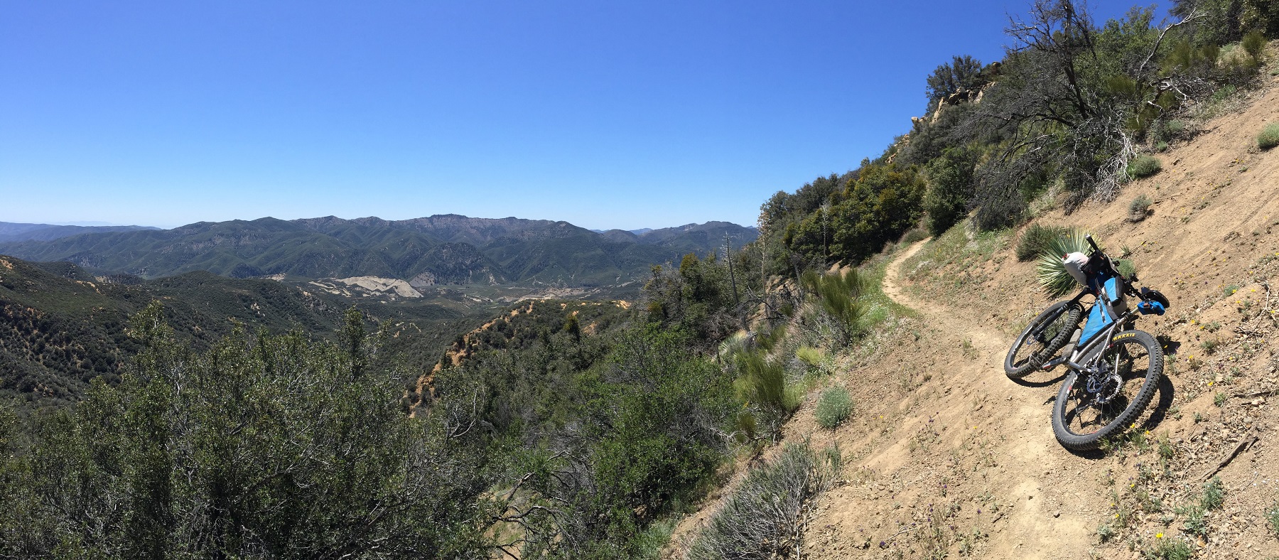
Keep pushin'!
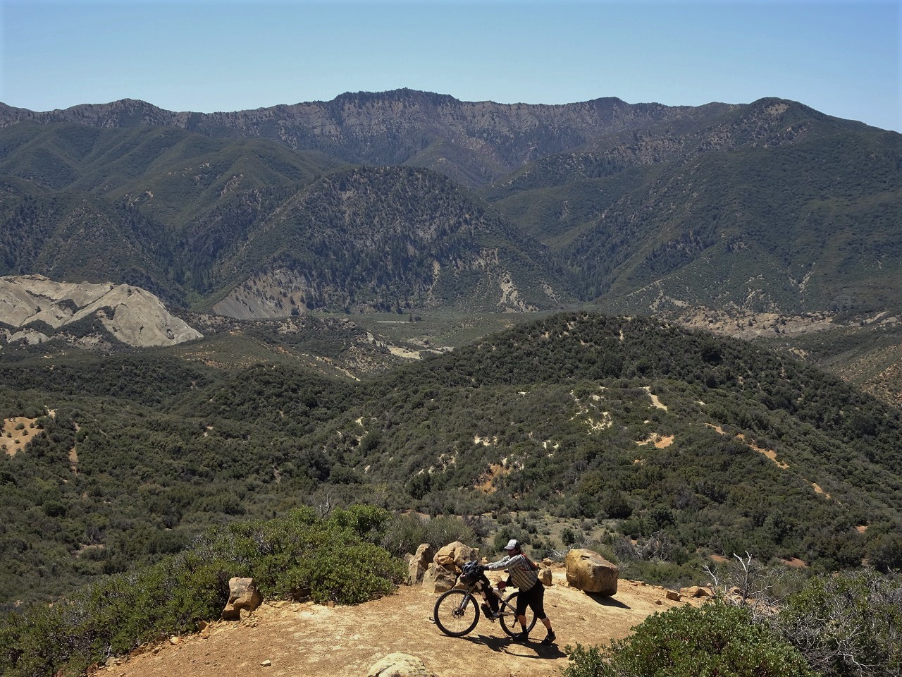
I descended this trail years ago and knew it wouldn't be a great one to descend bikepacking due to sharp switchbacks, steep grade and rocky sections. Erin had said the Boulder Creek trail we'll be dropping off the far side is more flowy for bikepacking.
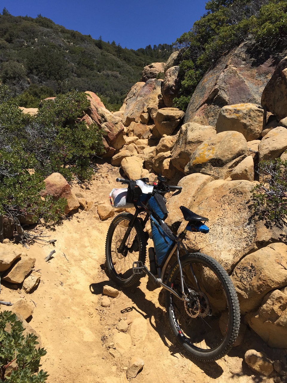
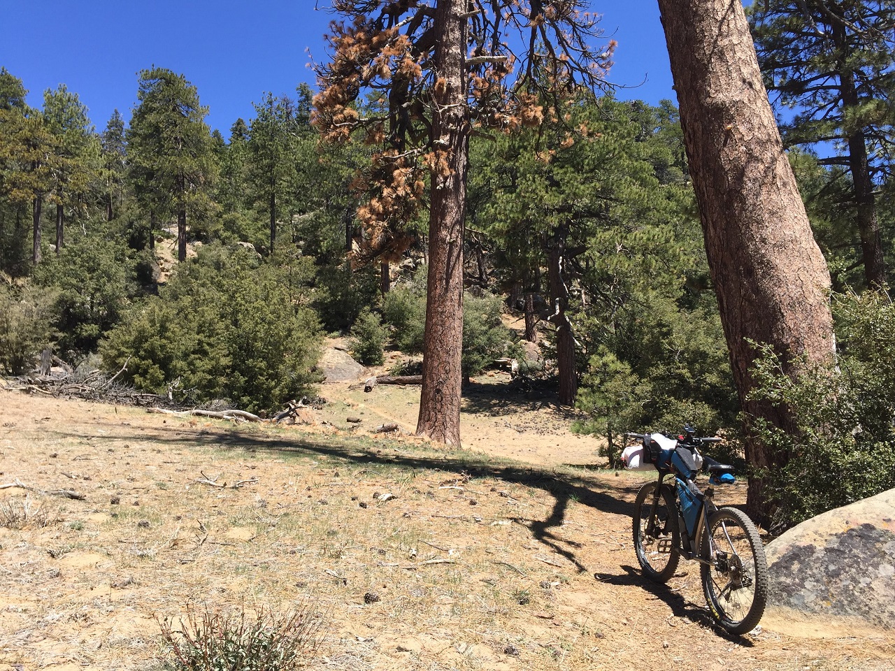
You know you're getting near the top once you get into the big trees
Lunch stop at the top. I polish off the other half of my now two-day old breakfast burrito. If you look closely on the right side of the pic you can see the beach down in Ventura
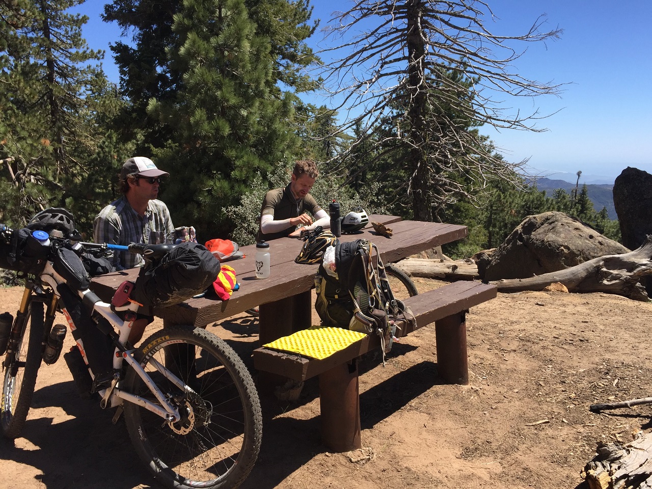
Hey Erin, I thought you said Boulder Creek Tr was all downhill?
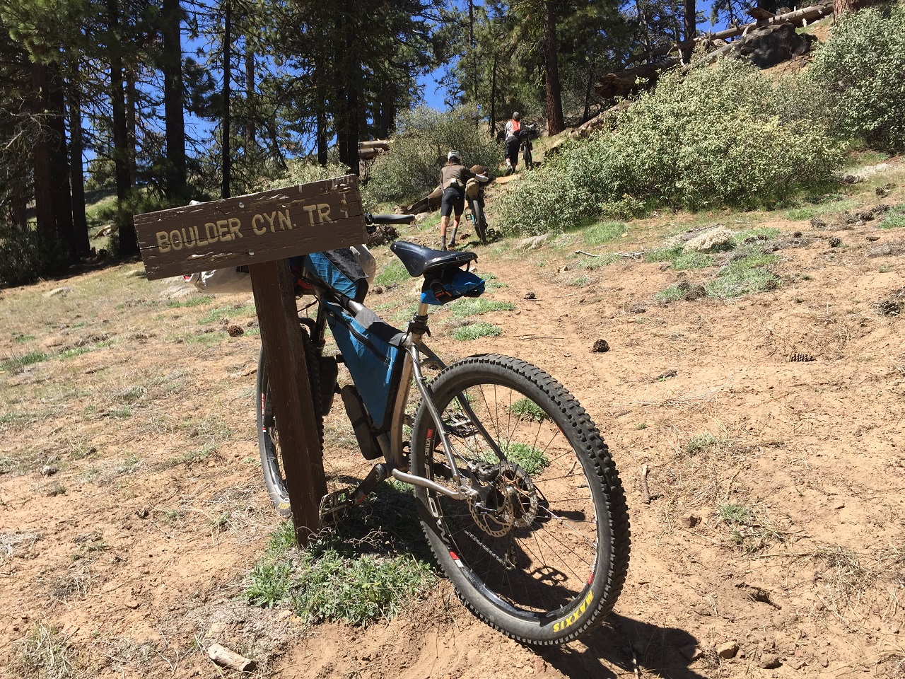
The trail was a mess of downed trees up top but then it cleared up down the ridgeline and some great views opened up
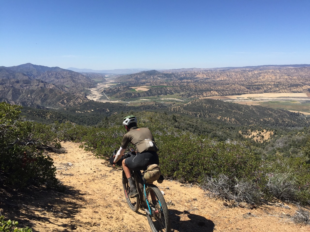
We'll be finishing the descent in the valley below. Then doing a big loop east and eventually coming back to this valley further north tomorrow before climbing up to the mountain range on the left.
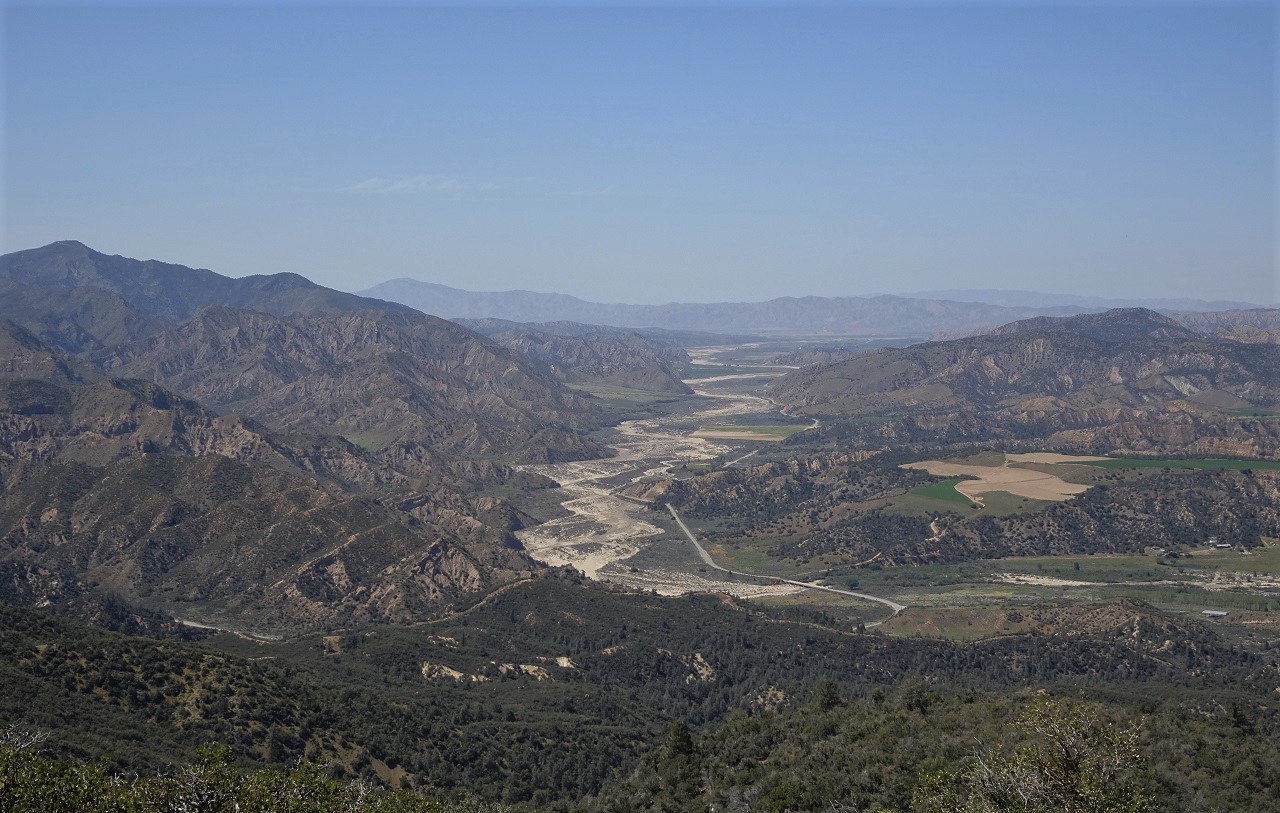
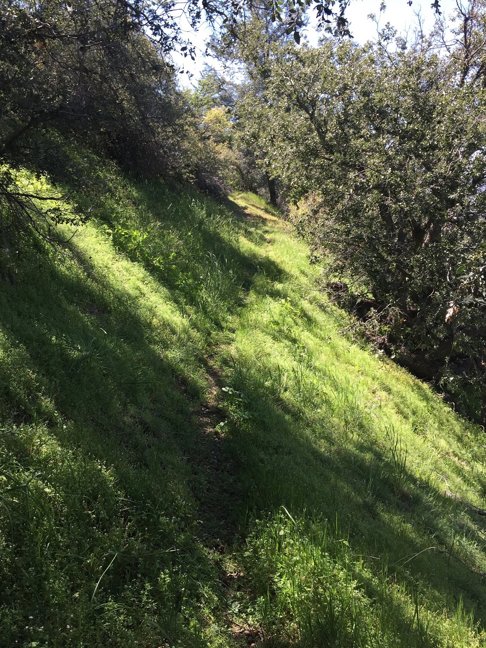
But first we have some descending to do on narrow, raw singletrack
Next up was a segment I'd been dreading, 18 pavement miles with 3000ft climbing on Lockwood Valley Rd to get over to the east side of the forest.
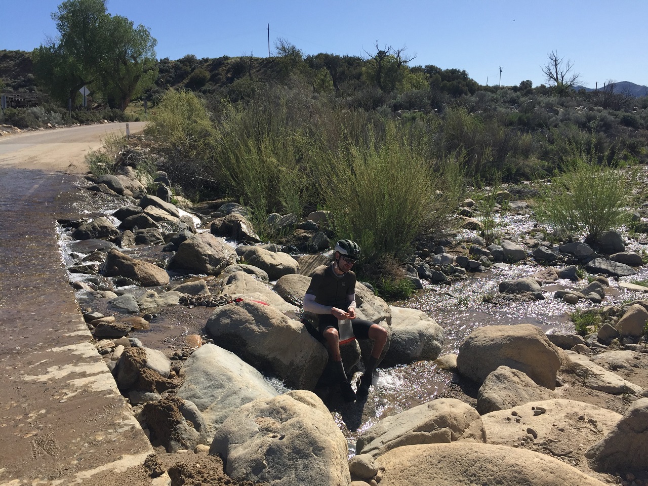
A water stop was in order first, as the rest of that segment would likely be dry. It was mid afternoon and fairly warm so I forced myself to chug a couple bottles of water each time we stopped to filter.
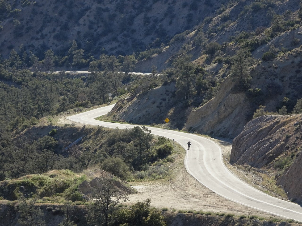
Gregg was way off in front on these road segments. I was middle child, and Erin just a few mins behind. The climb turned out to not be as terrible as I thought and was over in a couple hours.
We turn south off Lockwood Valley Rd and climb for another mile to get to Yellowjacket Trail, a moto trail that will take us 5 miles north. It was close to sunset and Erin and Gregg decided to camp just below the trailhead, having found a nice spot next to a stream with fire pit that was sheltered from the wind. I carried on as my stomach was set on making it to Mike's Pizza near Frazier Park, another 15 miles away.
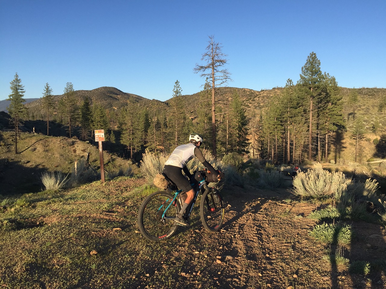
Yellowjacket was in pretty poor shape compared to the previous time I rode it with lots of erosion damage. Slow going. After turning onto Miller Jeep trail I ran into Wes, Ian and Drew the first group doing a modified tour version of the route, just after dark. I had 45min to get 5 miles to Pizza.
They recommended calling ahead but I had no service. Worst case the general store next door would have food.
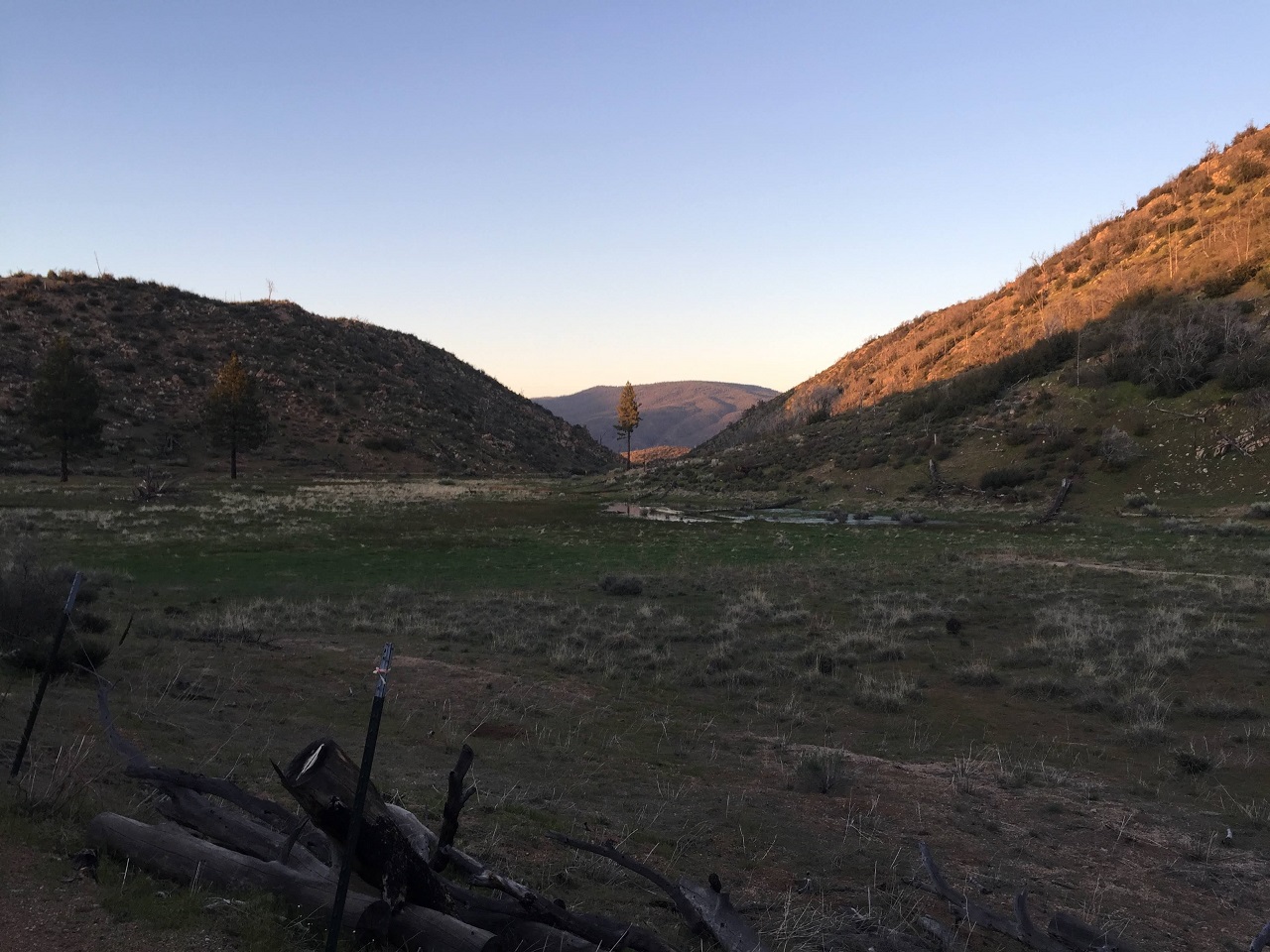
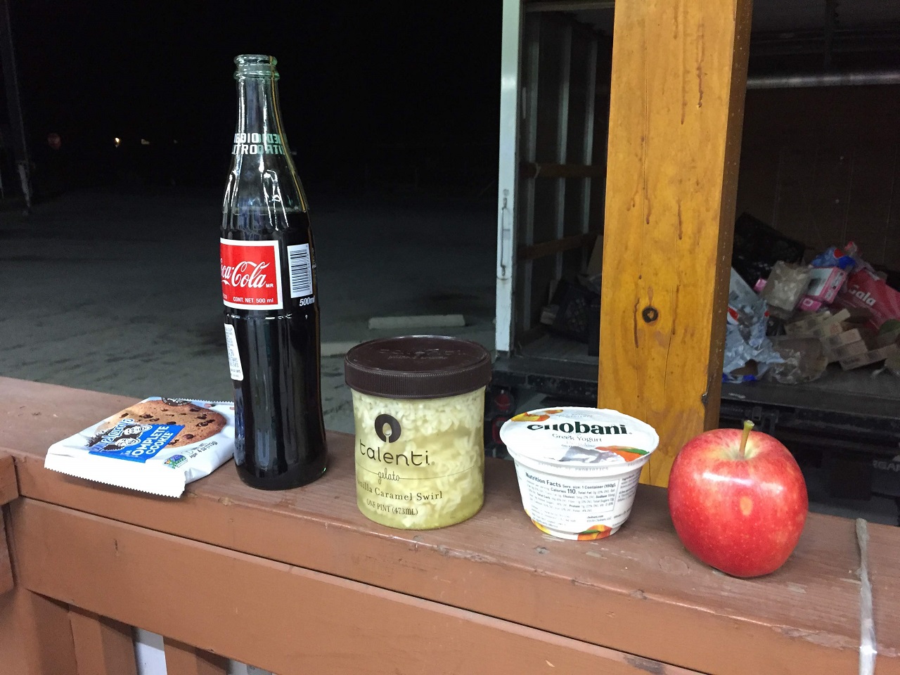
I made it there before the known closing time, but pizza had closed already. So I had a nice dinner of yogurt, apple, mexi-coke, cookie and hot ramen noodles, thanks to the kind folks at the Mountain View Mini mart who offered me hot water!
I was ready to be done for the night but had to get to public land beyond town where I could camp. A few miles on Cuddy Valley Rd and then through a rural neighborhood brought me to a gate to a trail system into the national forest. I had to go in further than I thought I'd have to as all the local dogs were going apeshit barking at the intruder in their 'hood. I wanted to get close to the Mt Pinos fire road but started encountering deadfall obscuring the trail so I called it a night and found a flat spot to camp.
Stats - 66mi, +9,360 / -8,360 ft