A lot of pictures from two weekend trips. First, a 2 night tour in north central PA in the vicinity of Pine Creek
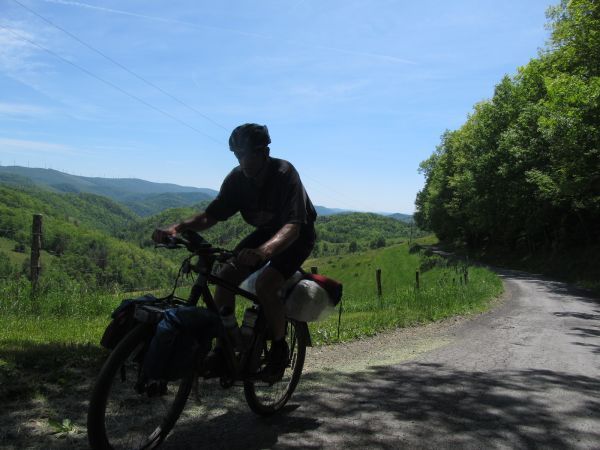
Racks and Panniers:
![](http://i111.photobucket.com/albums/n160/jhl99/2014/05-Bike/20140518PineCreek_045_W.jpg)
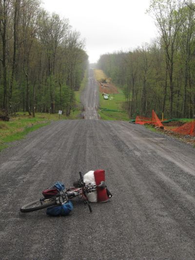
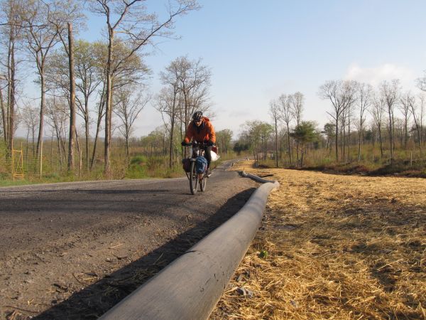
Ran into posted land on the planned route ?fortunately? a new gas pipeline is being put in and the access road was going my way:
![](http://i111.photobucket.com/albums/n160/jhl99/2014/05-Bike/20140518PineCreek_047_W.jpg)
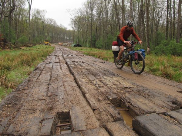
With all the recent rain, the plank road portion of the construction zone was welcome:
![](http://i111.photobucket.com/albums/n160/jhl99/2014/05-Bike/20140518PineCreek_051_W.jpg)
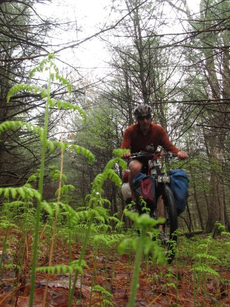
Hay scented ferns are deploying:
![](http://i111.photobucket.com/albums/n160/jhl99/2014/05-Bike/20140518PineCreek_058_W.jpg)
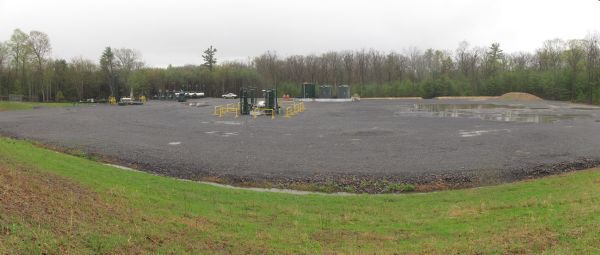
Shale Gas: The gas energy boom is hot in certain regions, including parts of PA. This is a well pad on state land. There are lots of them, along with controversy.
![](http://i111.photobucket.com/albums/n160/jhl99/2014/05-Bike/20140518PineCreek_071_Panoramic_W.jpg)
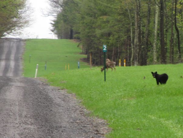
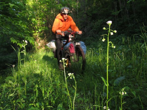
Congregation in pipeline clearing:
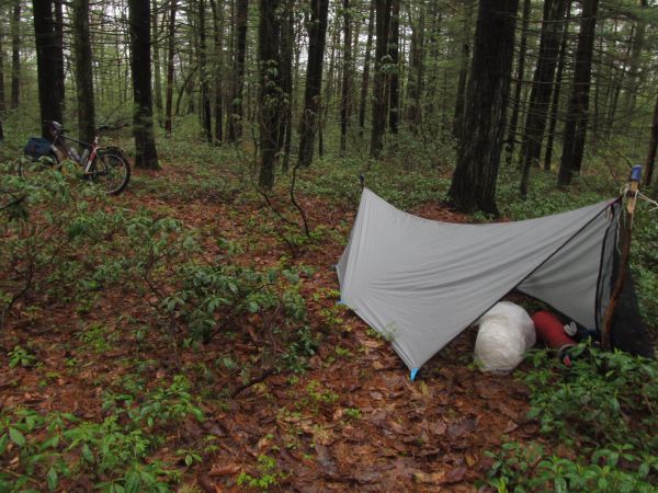
![](http://i111.photobucket.com/albums/n160/jhl99/2014/05-Bike/20140518PineCreek_080_W.jpg)
Camp in the laurel:
![](http://i111.photobucket.com/albums/n160/jhl99/2014/05-Bike/20140518PineCreek_088_W.jpg)
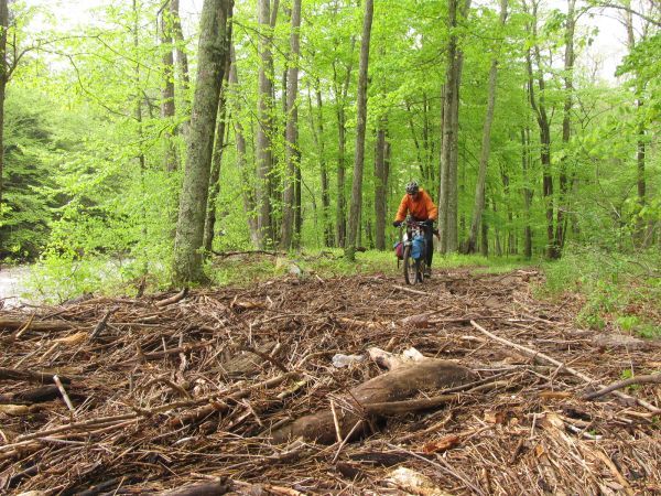
High water brought a plenty of debris over the bank:
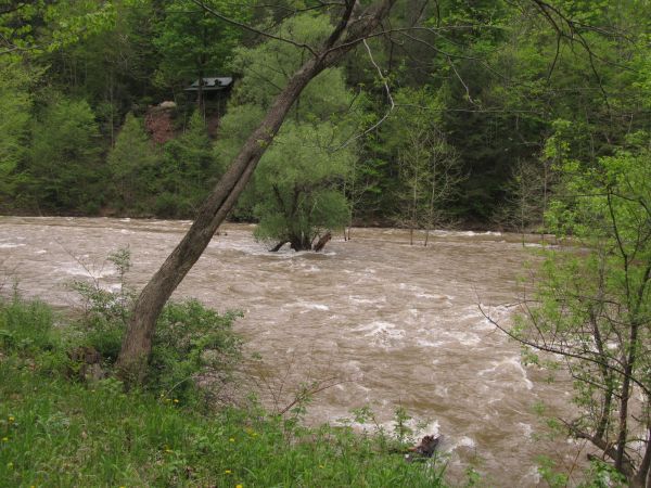
![](http://i111.photobucket.com/albums/n160/jhl99/2014/05-Bike/20140518PineCreek_096_W.jpg)
Pine Creek raging:
![](http://i111.photobucket.com/albums/n160/jhl99/2014/05-Bike/20140518PineCreek_112_W.jpg)
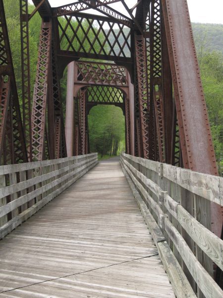
Pine Creek Rail Trail, this trip included 20 miles, which I find to be a comfortable limit. Regardless of what the civilians think, rail trails are tough riding.
![](http://i111.photobucket.com/albums/n160/jhl99/2014/05-Bike/20140518PineCreek_128_W.jpg)
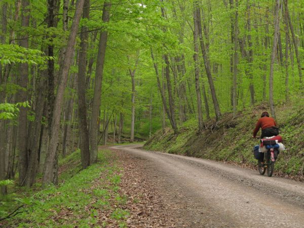
Climbing a forest road to escape the rail trail:
![](http://i111.photobucket.com/albums/n160/jhl99/2014/05-Bike/20140518PineCreek_132_W.jpg)
AM of day 2, the black pipe is what I assume is a temporary water line for gas drilling operations:
![](http://i111.photobucket.com/albums/n160/jhl99/2014/05-Bike/20140518PineCreek_149_W.jpg)
Abandon forest road:
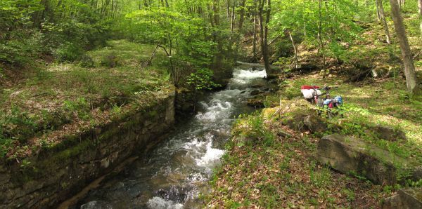
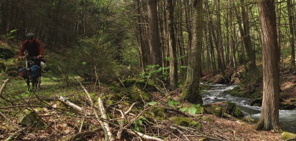
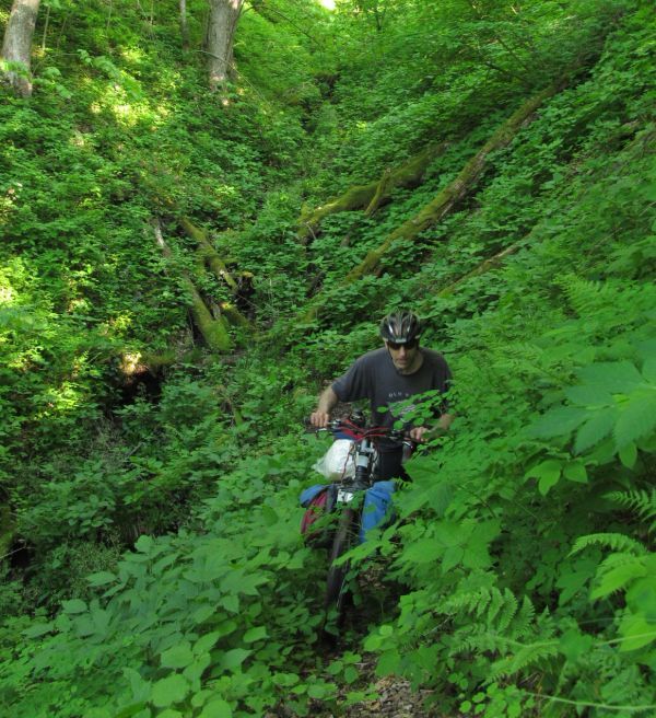
![](http://i111.photobucket.com/albums/n160/jhl99/2014/05-Bike/20140518PineCreek_175_Panoramic_W.jpg)
Stream side:
![](http://i111.photobucket.com/albums/n160/jhl99/2014/05-Bike/20140518PineCreek_180_Panoramic_W.jpg)
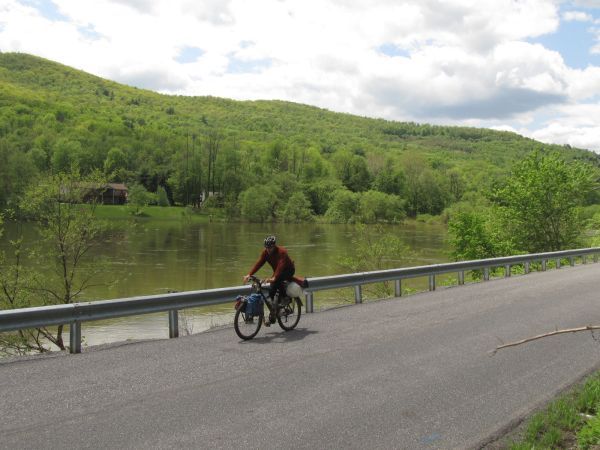
Along the West Branch of the Susquehanna. Running muddy from rains.
![](http://i111.photobucket.com/albums/n160/jhl99/2014/05-Bike/20140518PineCreek_186_W.jpg)
************************************************************************
************************************************************************
Trip 2: Northern WV
This was an overnighter across Canaan Mountain, skirting the west edge of the Otter Creek Wilderness, into Elkins and back around into western MD.
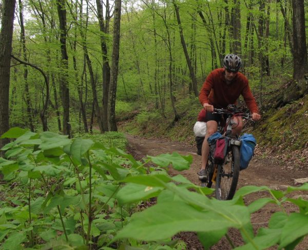
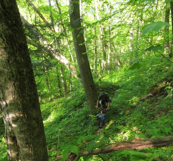
Little Used single track:
![](http://i111.photobucket.com/albums/n160/jhl99/2014/05-Bike/20140526_WVBike_032_Panoramic_W.jpg)
![](http://i111.photobucket.com/albums/n160/jhl99/2014/05-Bike/20140526_WVBike_041_W.jpg)
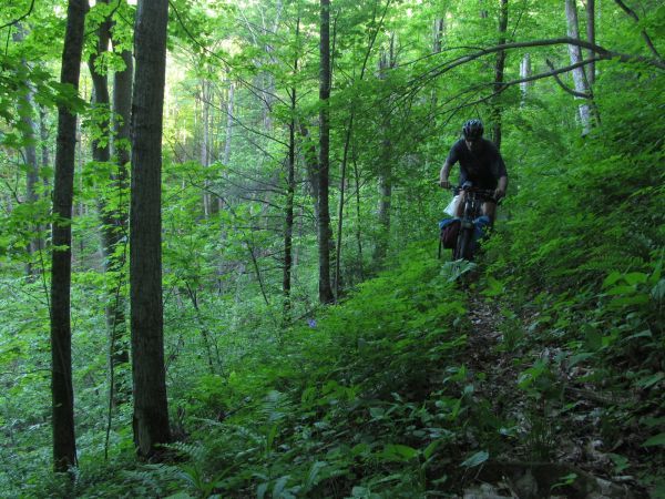
A lot of WV single track is a crap shoot... blow down and forest growth can sometimes stymie forward progress. Here its just a short hike-a-bike.
![](http://i111.photobucket.com/albums/n160/jhl99/2014/05-Bike/20140526_WVBike_046_W.jpg)
Morning sun:
![](http://i111.photobucket.com/albums/n160/jhl99/2014/05-Bike/20140526_WVBike_053_W.jpg)
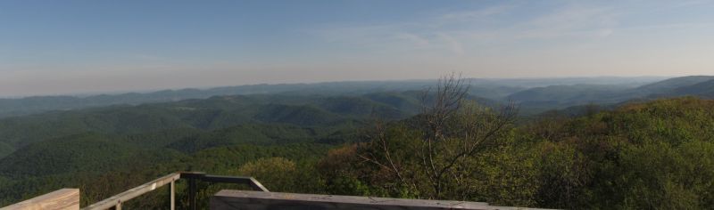
View from Bickle Knob observation tower:
![](http://i111.photobucket.com/albums/n160/jhl99/2014/05-Bike/20140526_WVBike_067_Panoramic_W.jpg)
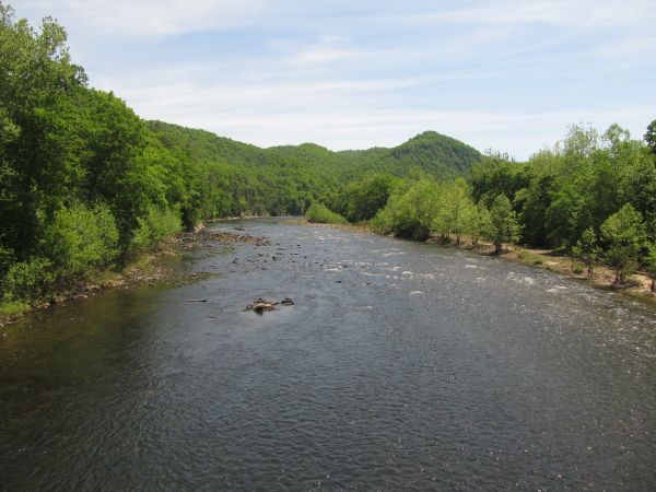
Cheat River near Parsons:
![](http://i111.photobucket.com/albums/n160/jhl99/2014/05-Bike/20140526_WVBike_085_W.jpg)
Grinding up Backbone Mountain on back roads:
![](http://i111.photobucket.com/albums/n160/jhl99/2014/05-Bike/20140526_WVBike_097_W.jpg)