This was the first bike stop on my UT/CO 2012 Tour. OK, so this stop was not a bikepacking tour. Rather, it was an exploration for future bikepacking in general, if not specifically a recon for the Dixie 211 event next year. I have wanted to explore this area for some time and given the lack of online info for it, I think this will be valuable for many members of the community. Enjoy, as much as I did! I found the Paunsaugunt not to be necessarily as tough as reports suggested but definitely as remote. It is certainly an area worth visiting both for remoteness and quality trail. For bikepacking it is certainly worth while, just have to be careful of water sources in drier times of summer and trial reports, since there can be many trees down early season. On this trip I explored doing loops from camp each day. Not knowing what trail conditions or water sources would be like this seemed like the smartest option. It turned out not to be necessary as recent rains meant water sources were plentiful, and the trail was in good condition overall. The loops I did made rides much longer than necessary. Turns out Grandview could be ridden in 2-3 days comfortably if decent water was available.
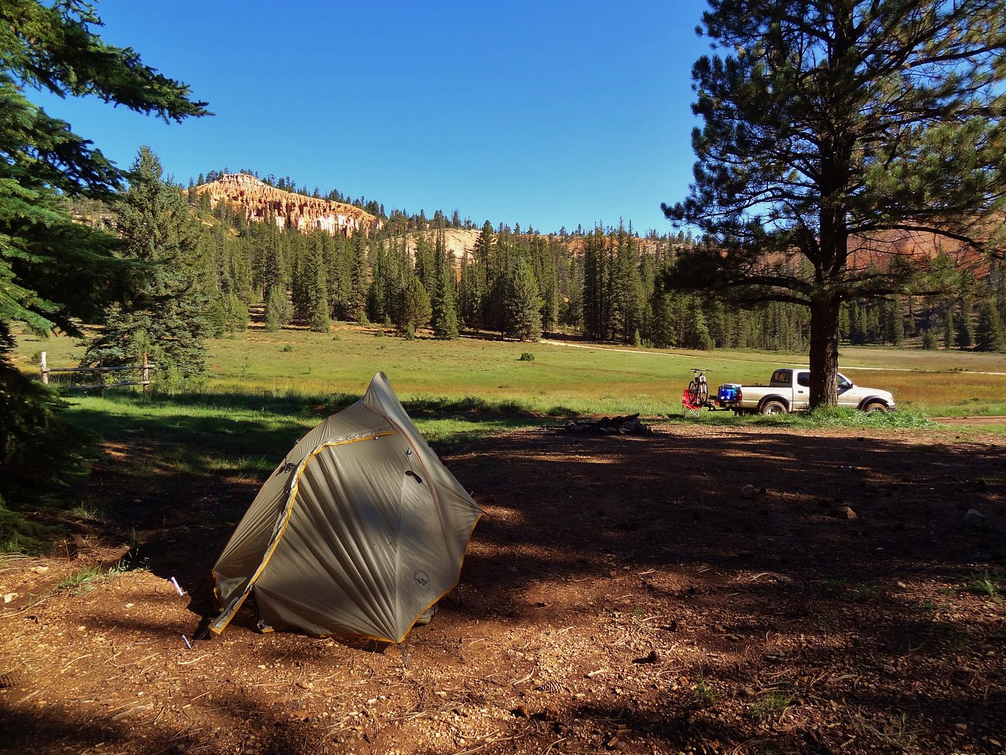
Pink cliffs visible from camp
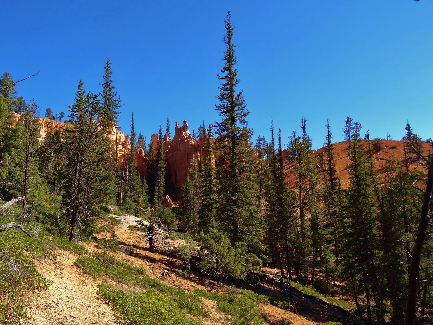
A bit of singletrack just a 1/4mi up the road
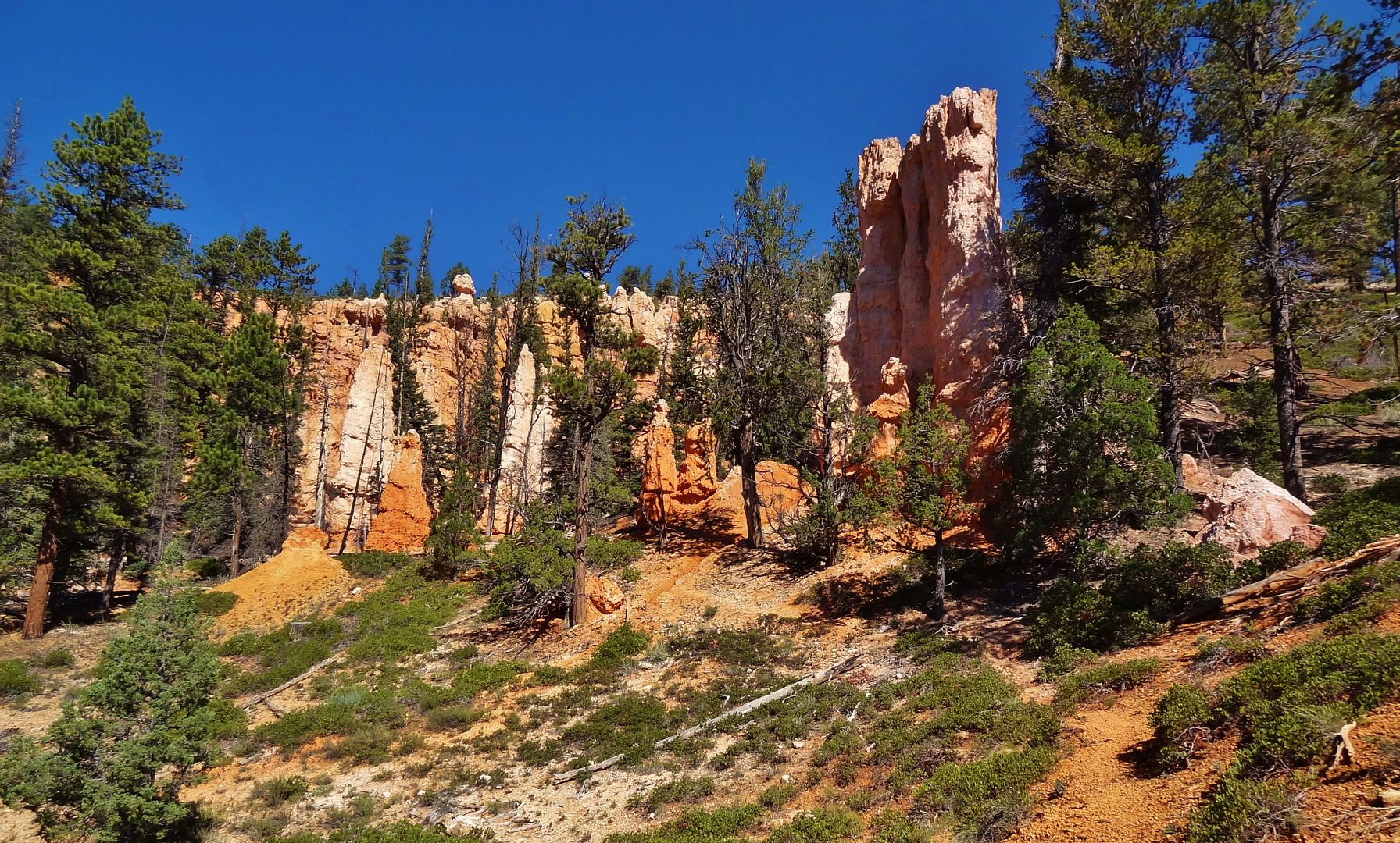
Cool rock window

Looking down towards the valley, camp is just out of sight on the right
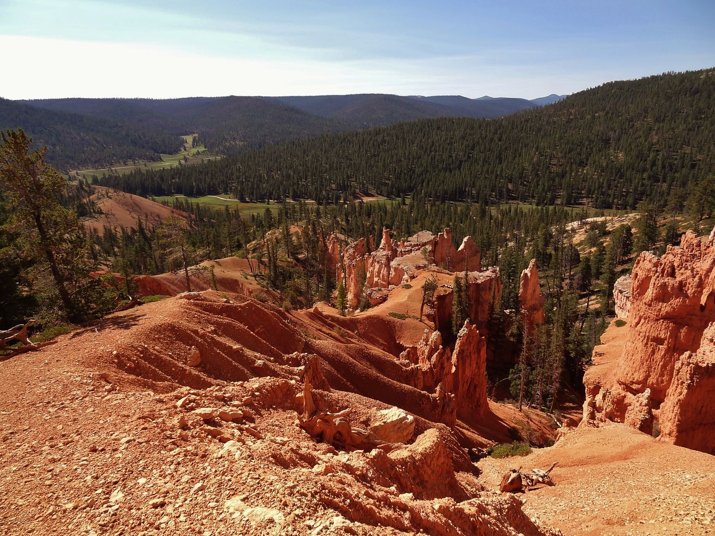
I guess this is Chimney Rock?
You can see a bit of the reservoir in the background.
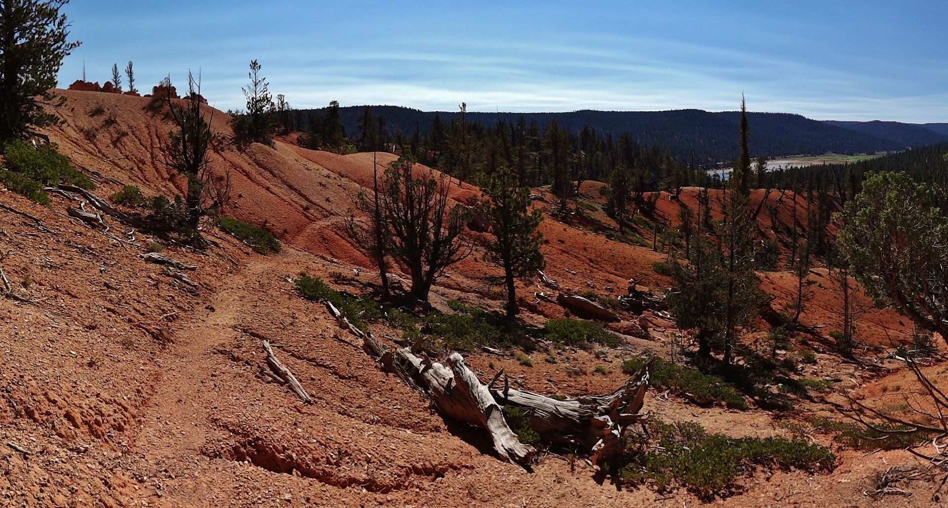
The trail is very little used, and between grade and loose-ness is tough to ride in places.
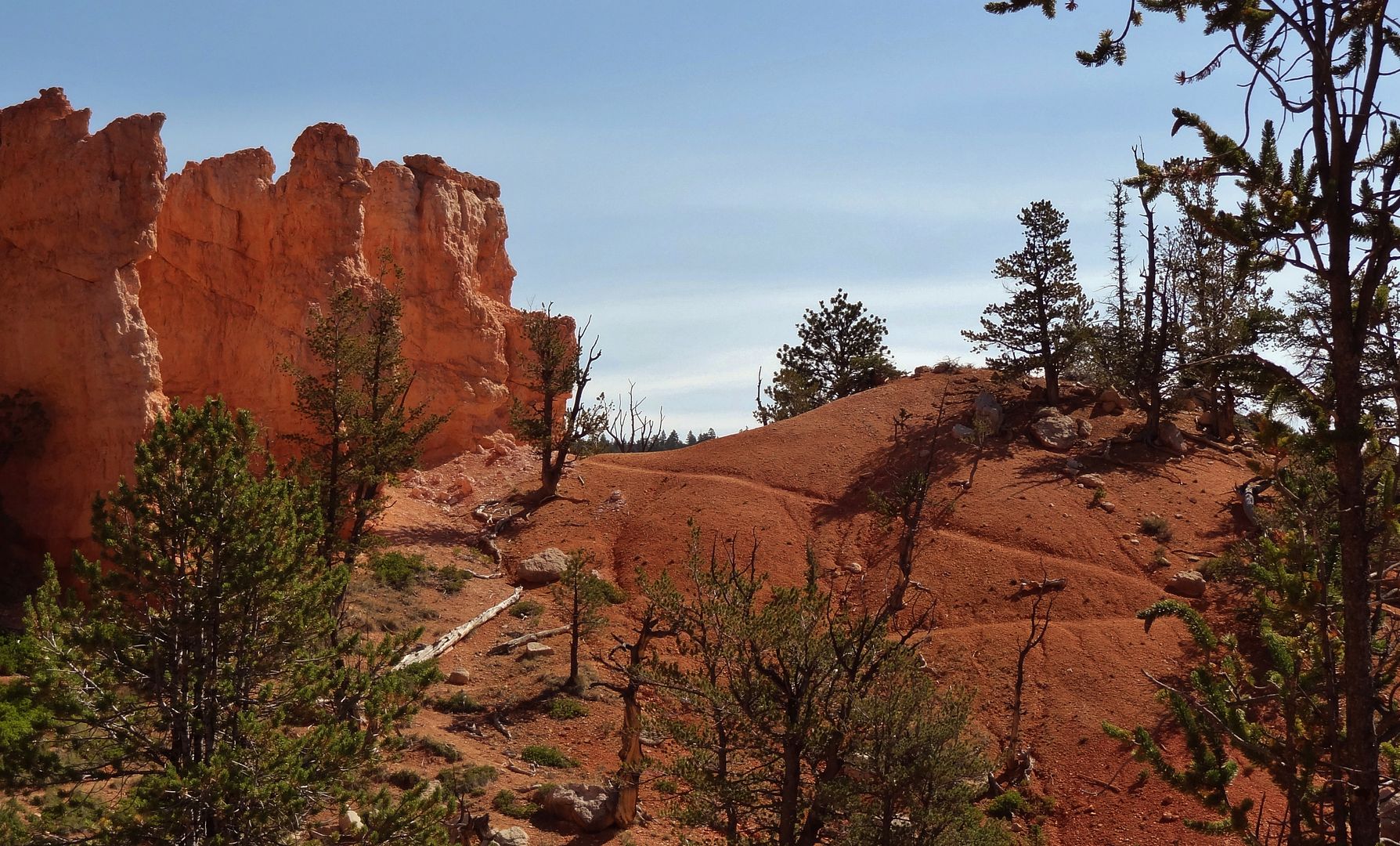
All roads lead to Thunder Mountain

Views from here on will be more familiar to everyone
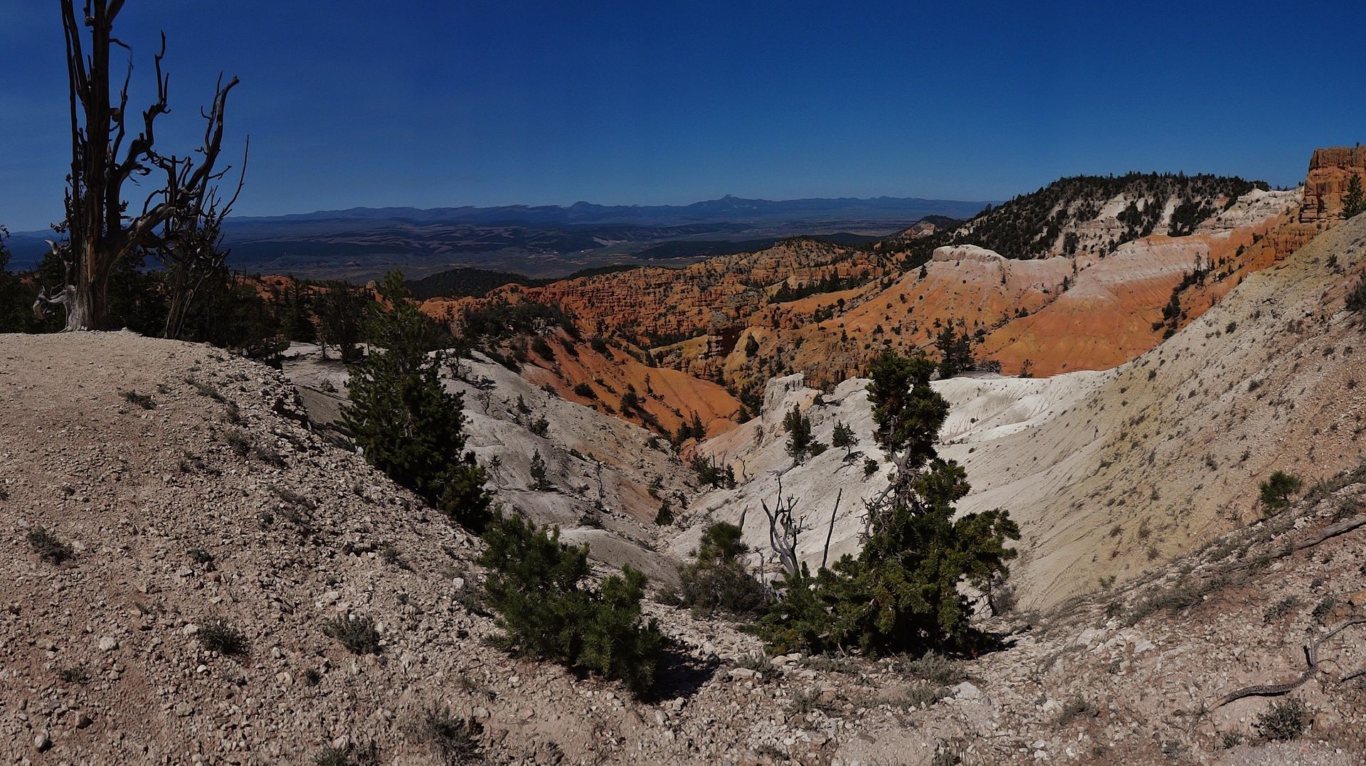
Hoodoos come into view
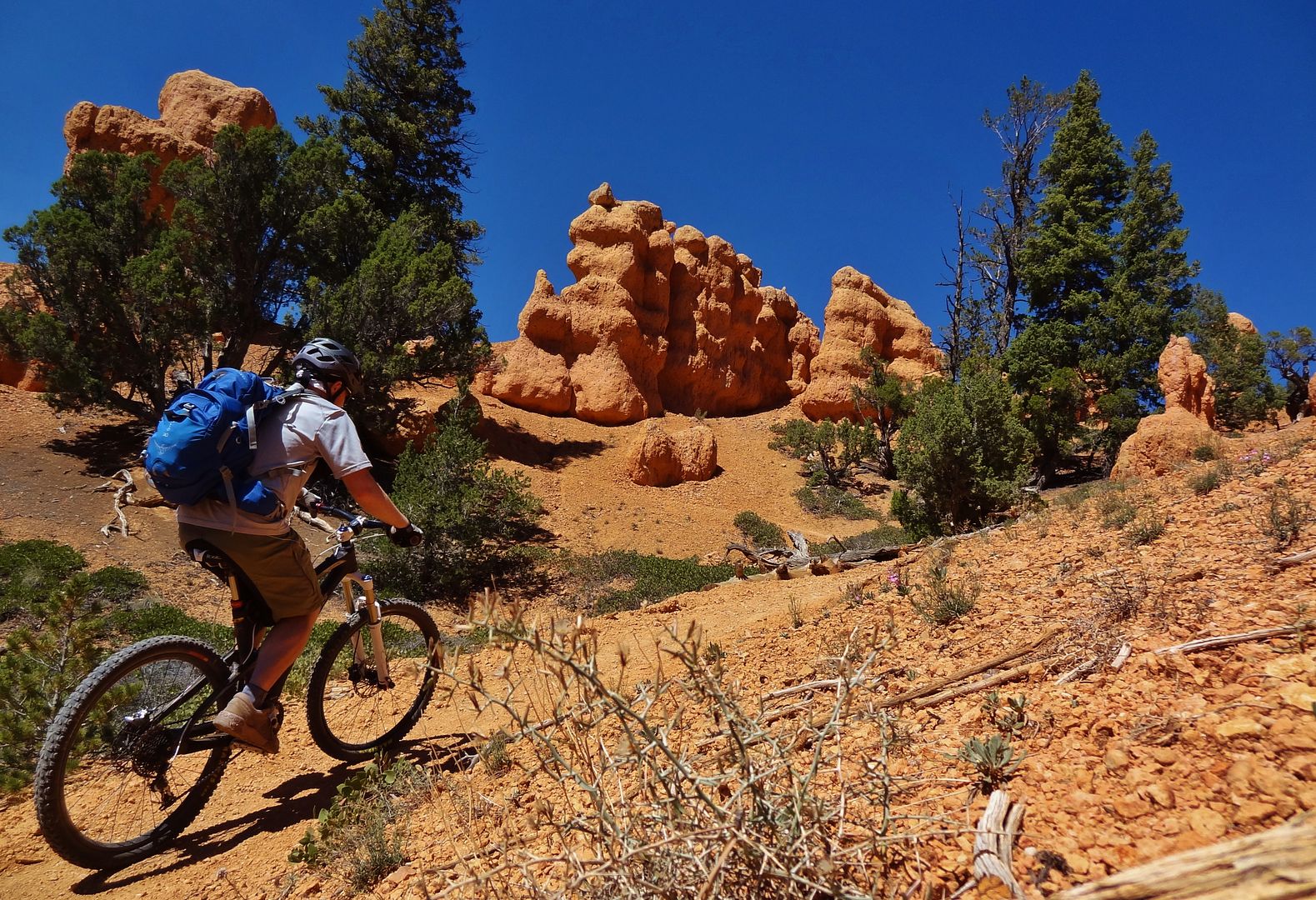
I was a bit worried the trail would be wet from recent rains but should not have been, it was dry as can be
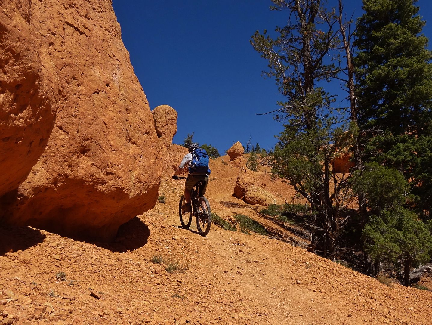
Up to the ridge line
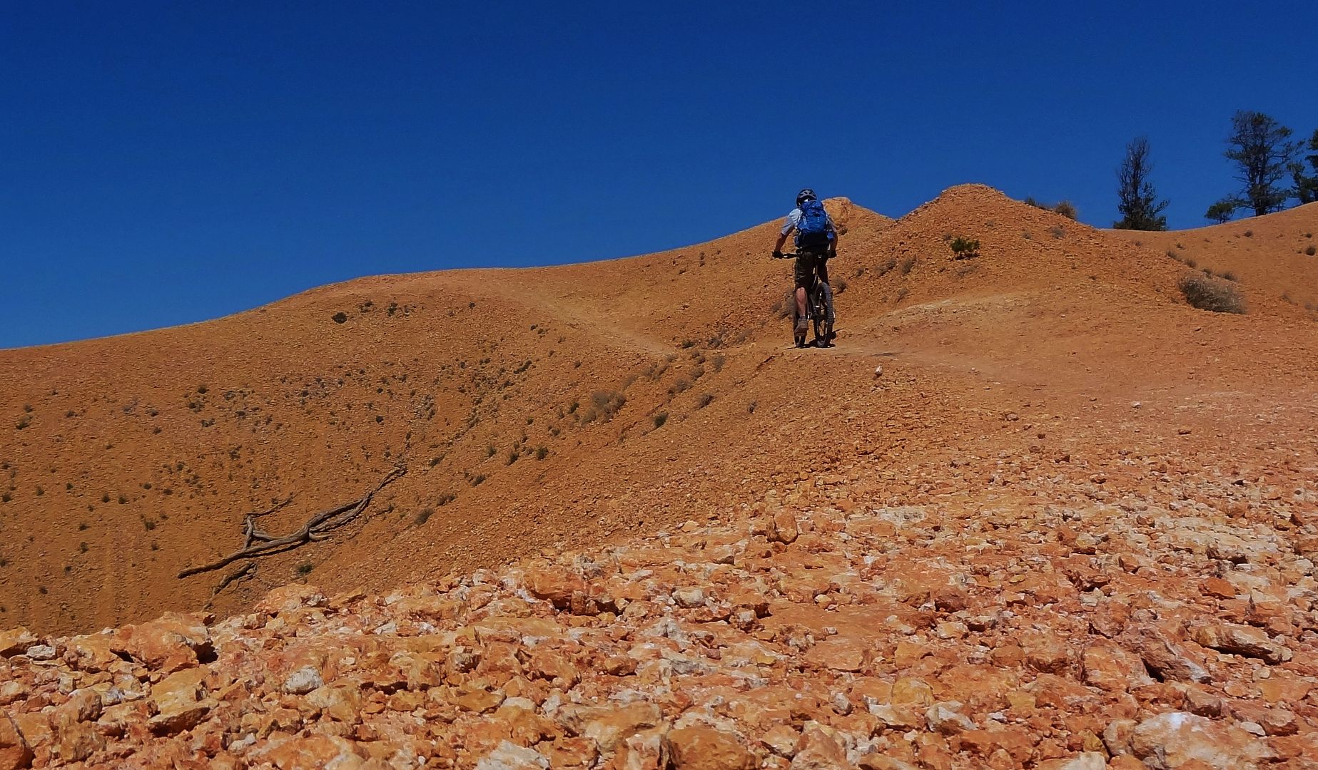
I tried self timer shots here on last years trip but they did not work out. The gorillapod makes things so easy! It also helps my new camera can do a 10 shot burst with the 10 second delay, not just the single shot my old one was capable of.
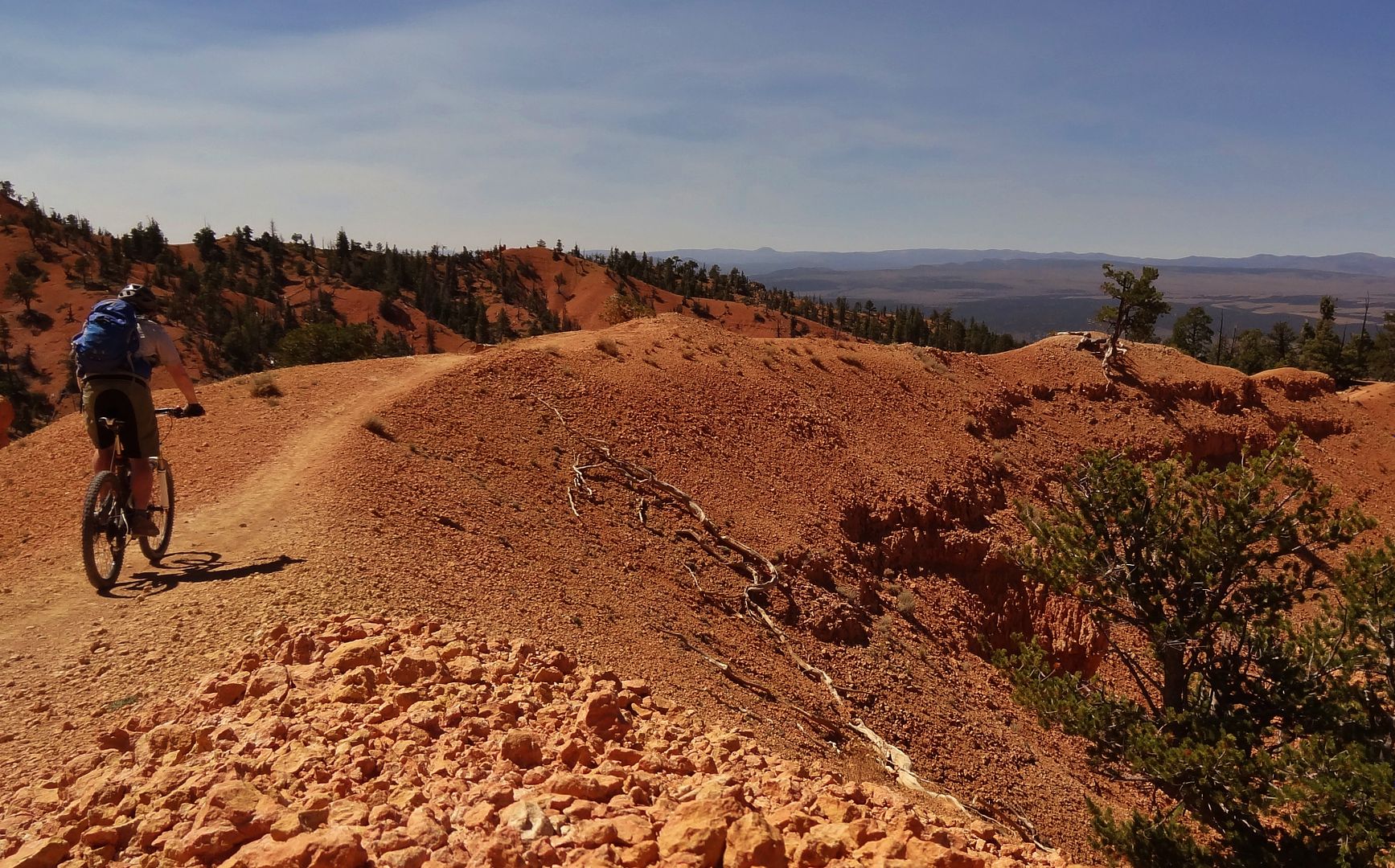
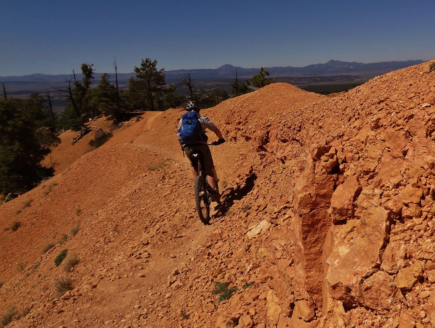
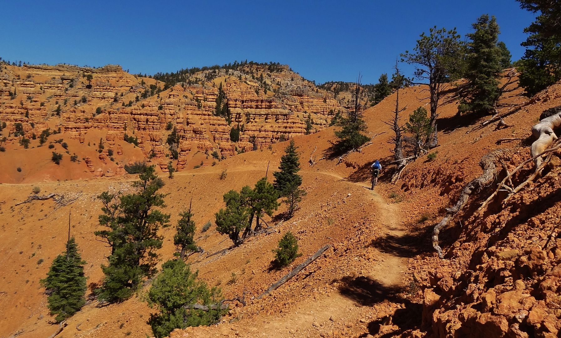
The shot I couldn't get right last year.
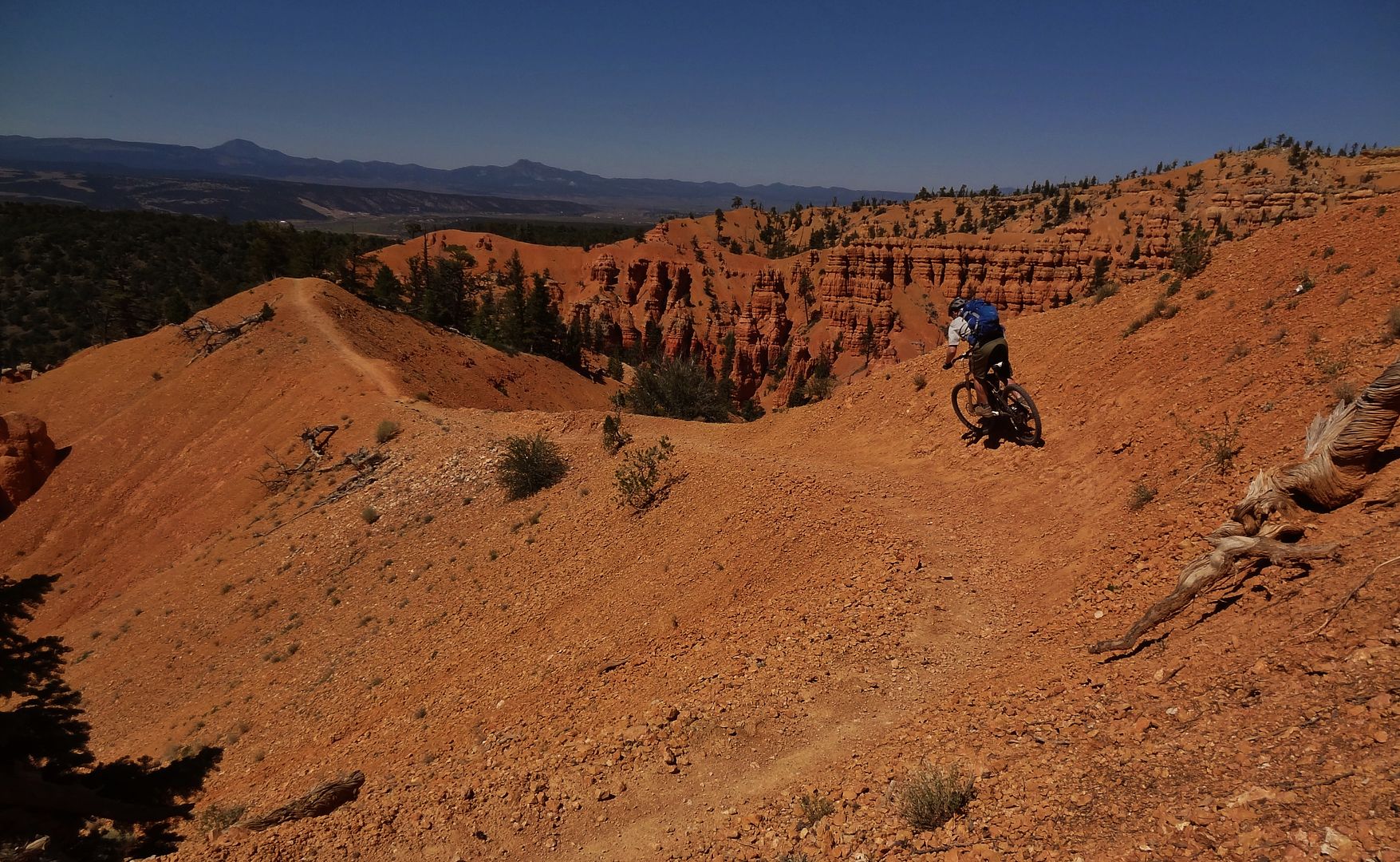
The end comes so soon
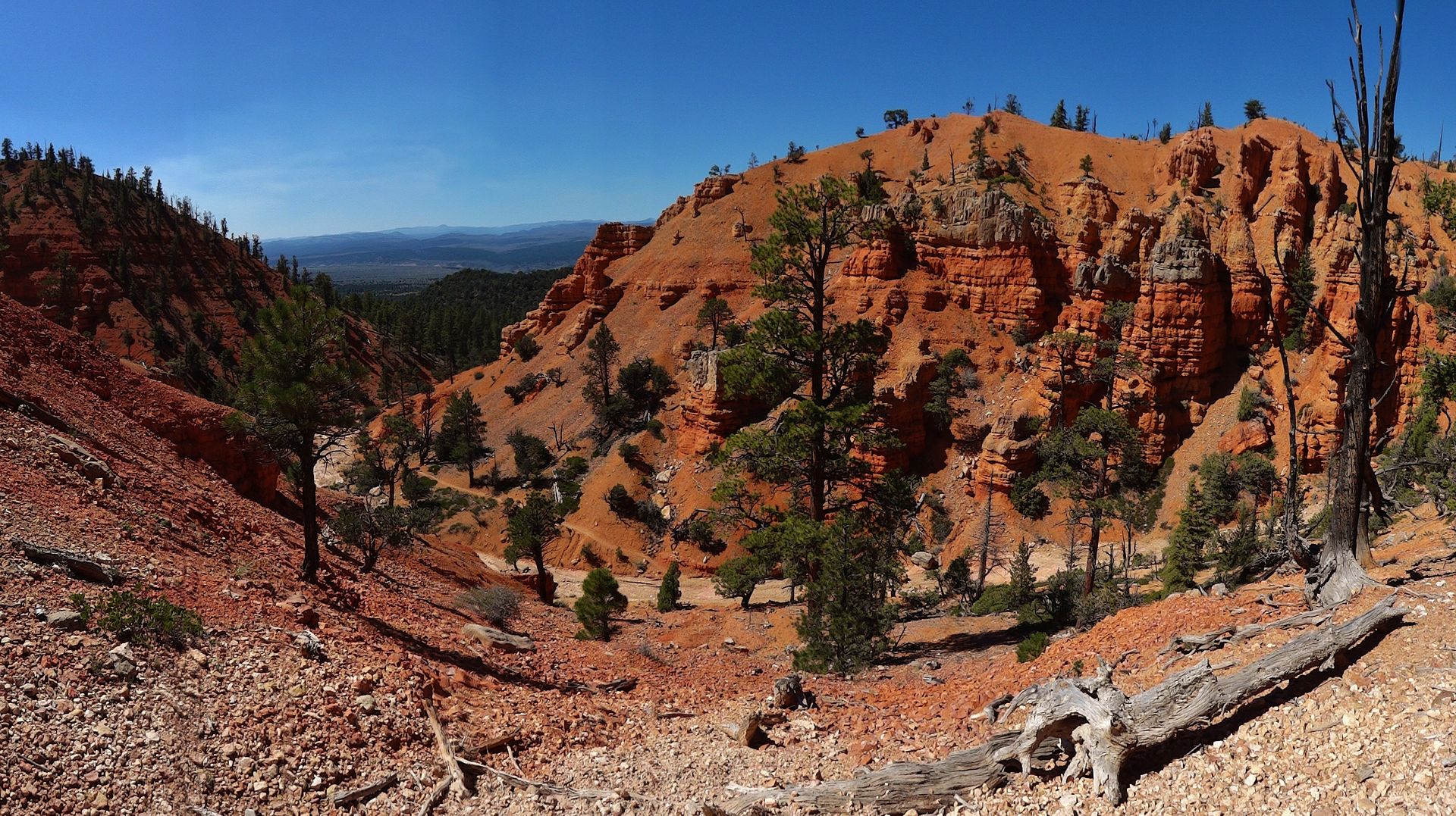
A self timer would have been awesome here but for the shadows
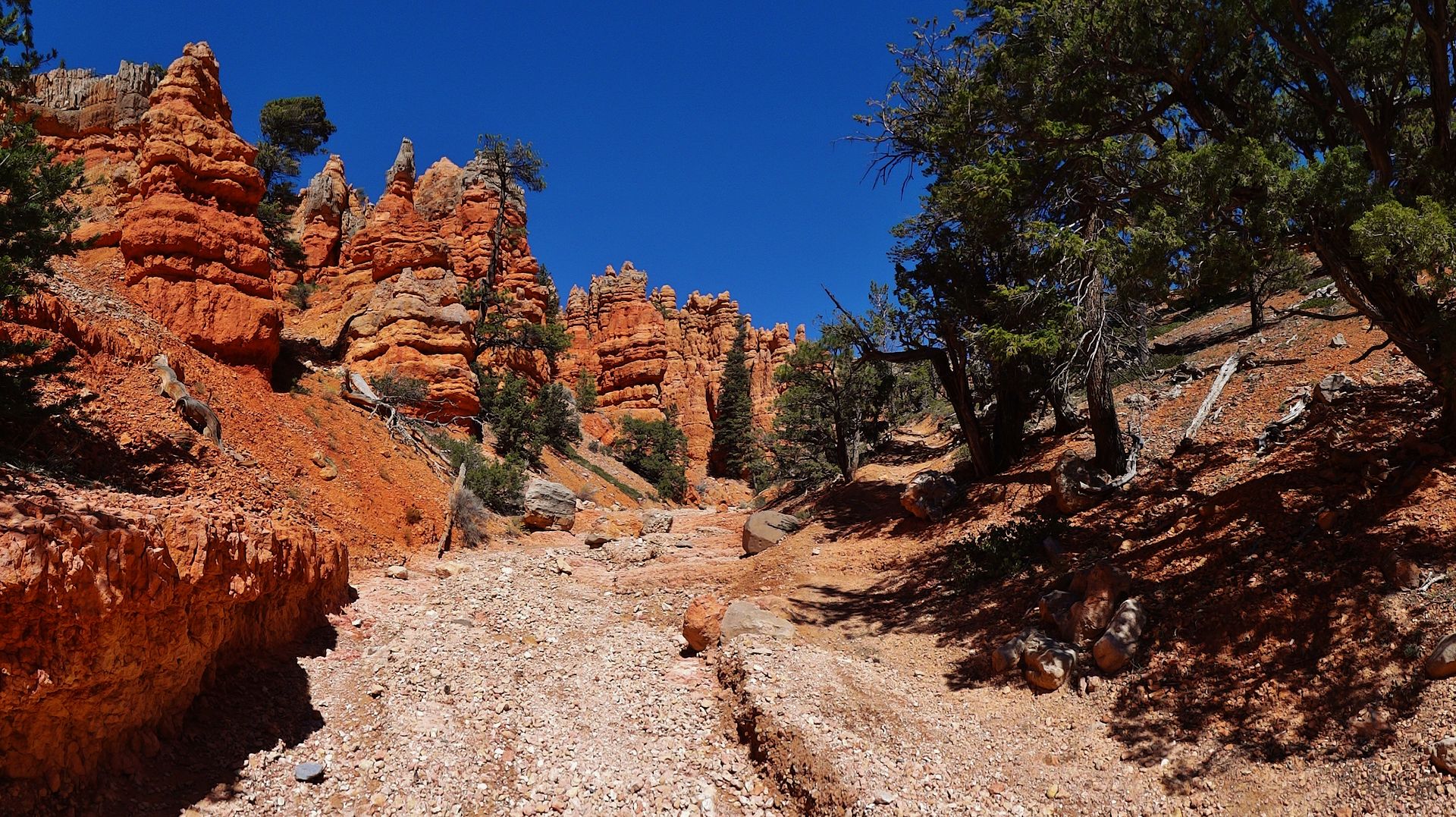
So, up to this point some are probably thinking, yeah whatever just another Thunder Mtn report. If you're fortunate, you have maybe explored the other side of Red Canyon on the Losee/Cassidee loop. But as I was about to find out there is a whole "other world" out there which very few know exists. But it is right there for the taking, if you have ever seen this sign just before the funnest part of Thunder Mtn near the bottom.
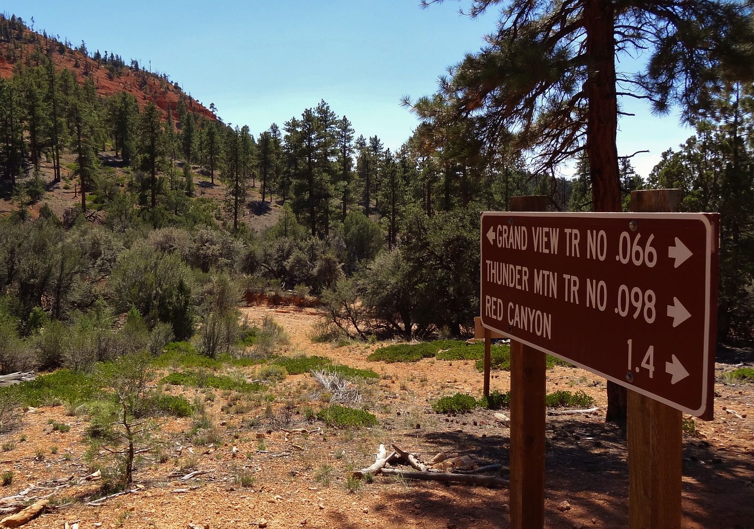
Grandview Trail, what's that? Is a question that has bugged me for several years. I think it was 2009 when we first rode Thunder, and I saw the sign. Never looked much into it until after last year's trip when I saw it again, and it got me digging. I asked at the Red Canyon Visitor Center a year ago and they knew little about it, just that it had been built by a former district ranger who was an equestrian and it probably wouldn't be good for bikes, a lot of steep ups and downs they said. Unfortunately, searching online at the time turned up very little else - one equestrian ride report, one trail runner report, and one endurance bike race report that mentioned going just 20 miles in 20 hours due to massive deadfall. Not encouraging. In the weeks leading up to this year's trip I searched again. I found a newer report from this year's Dixie 211 race which mentioned herculean tree clearing efforts on a nearby trail. I also found a good map on the USFS site. Having found no good maps previously, this was enough to give me the confidence to go for it. An apparent lack of reliable water sources meant I would not bikepack it, but rather ride it in sections. The first section I would try is the start of the trail, from its intersection with Thunder Mountain, on up to where it meets Road 601 for around 13mi. On the way to Thunder Mountain I would also check out the Chimney Creek Trail and Kings Creek Trail, near the King Creek Campground and Tropic Reservoir.
Some gentle climbing to start. I still had absolutely no idea what to expect from this trail so every rideable part seemed like a huge bonus
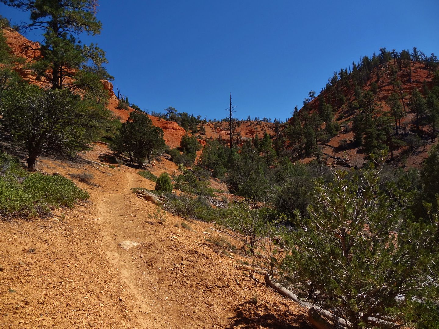
Then some fun scenic descent
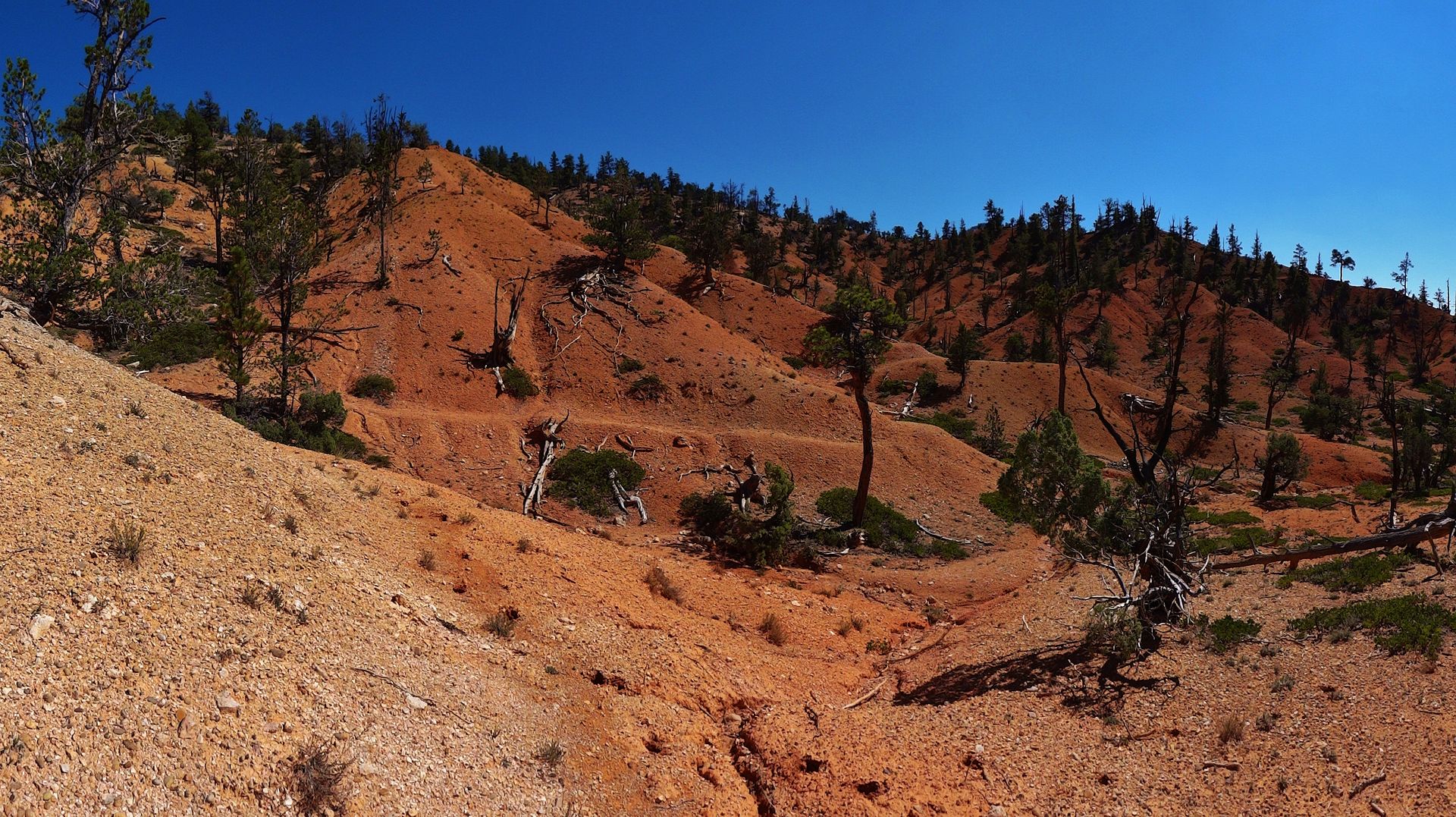
Some contouring on orange dirt
Some nice views off the plateau to the west

The trail starts to get rougher, more raw
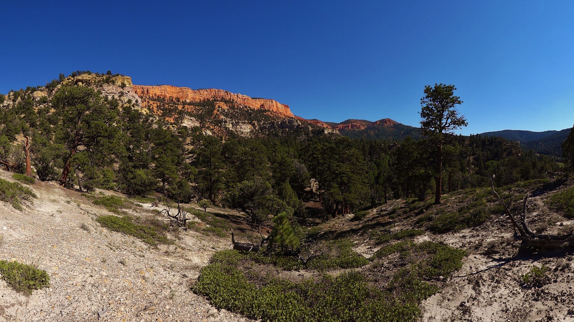
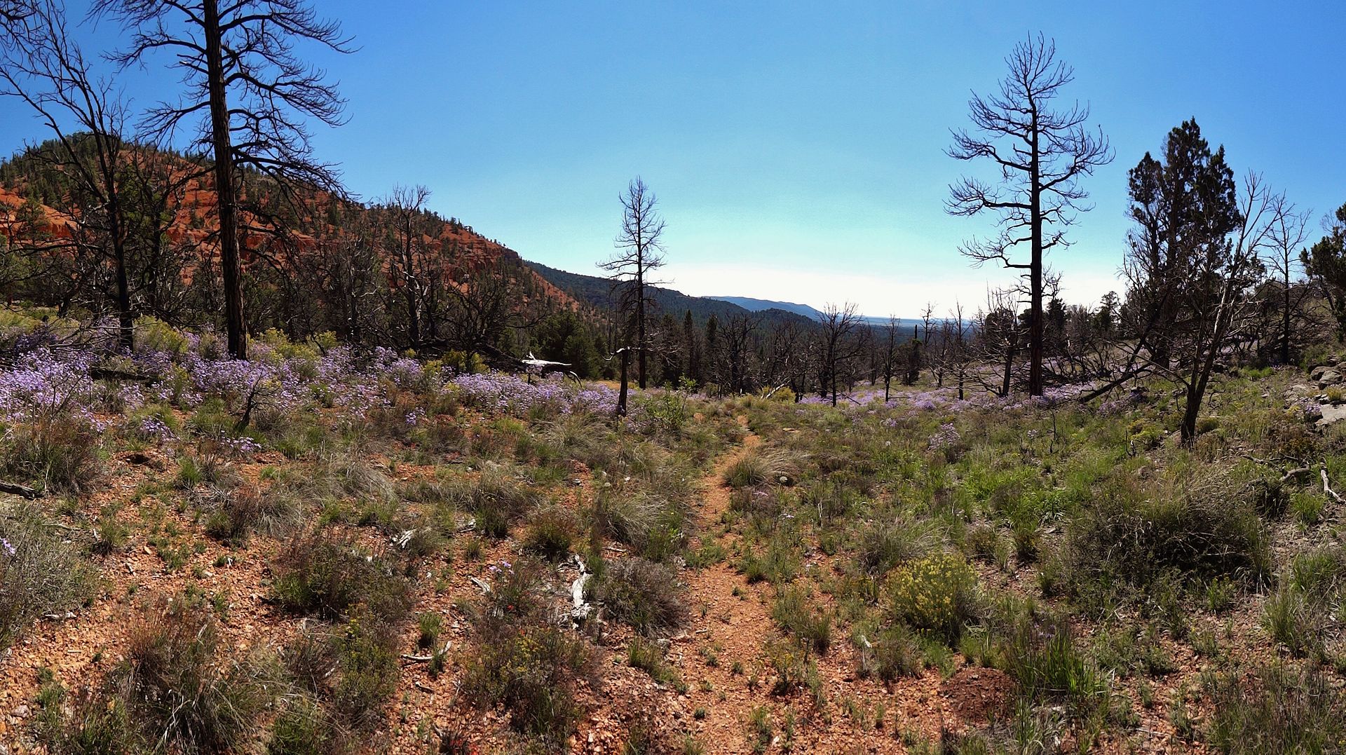
After a brief section where it is badly eroded, another where it is hidden completely in slash from forest service burn piles, and another where I lose it in grassy meadows, it becomes nice again (for a short distance)
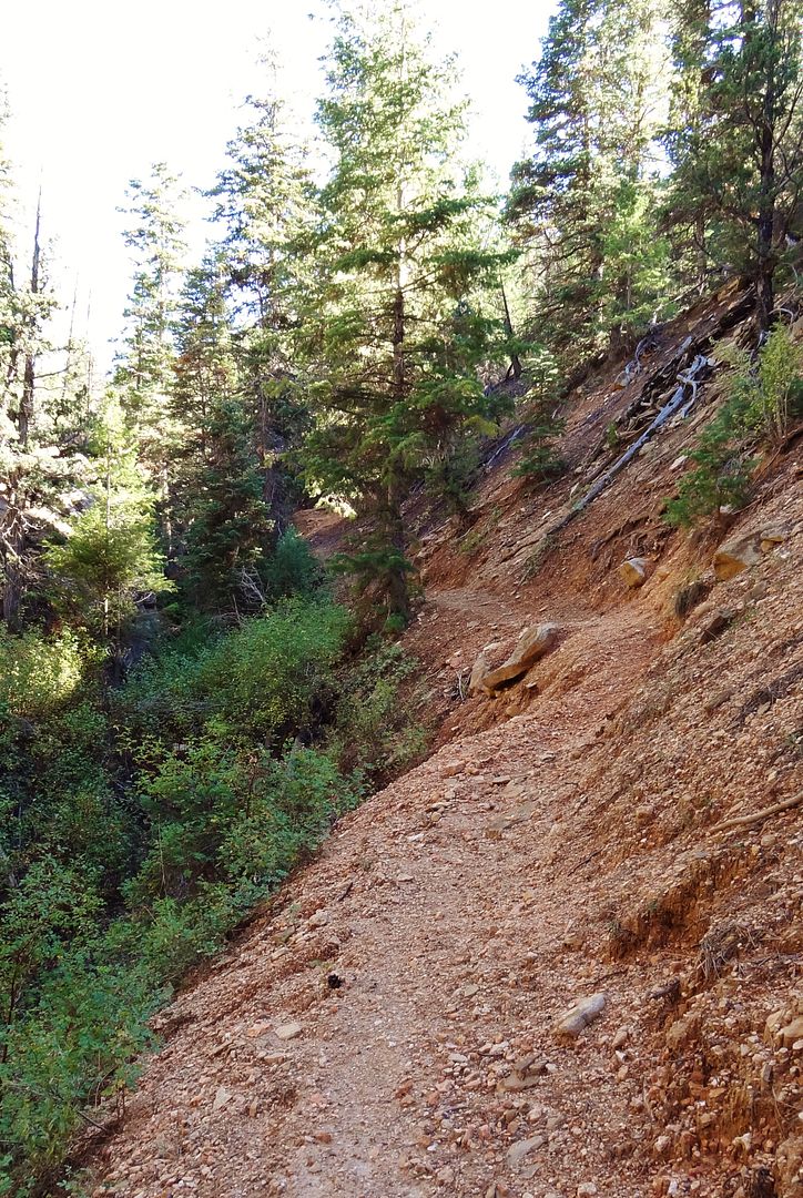
More grassy meadow. Trail is just outside the pic on the right
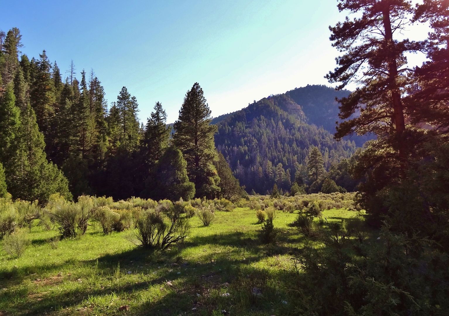
It goes through a lot of cow pasture too and can be rough in spots
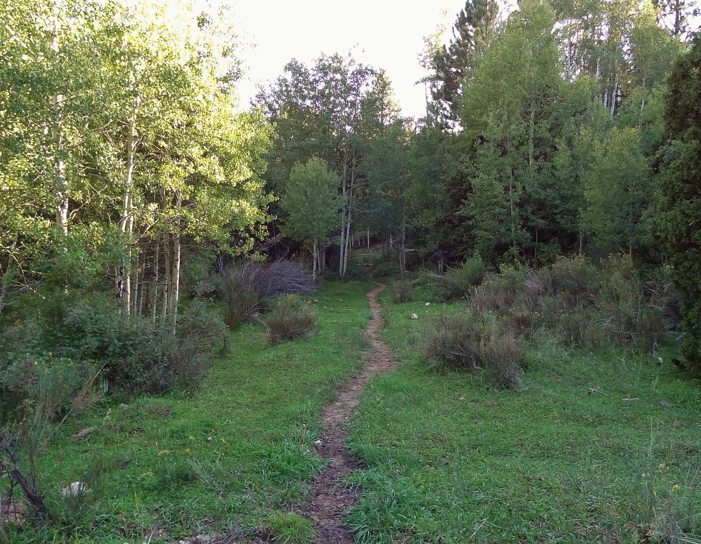
The climbing at the end was tough, I did some hike a bike and got a bit lost on some cow trails. But just look for a trail continuing on from the end of each meadow close to where the map shows it, and you will be fine. I was pretty stoked with this first section. While hard to follow in places the trail was actually pretty decent, had some good views, no trees down, and mostly rideable. All that was left was to climb up over the ridge and then bomb back to camp on 5 mi of dirt road.
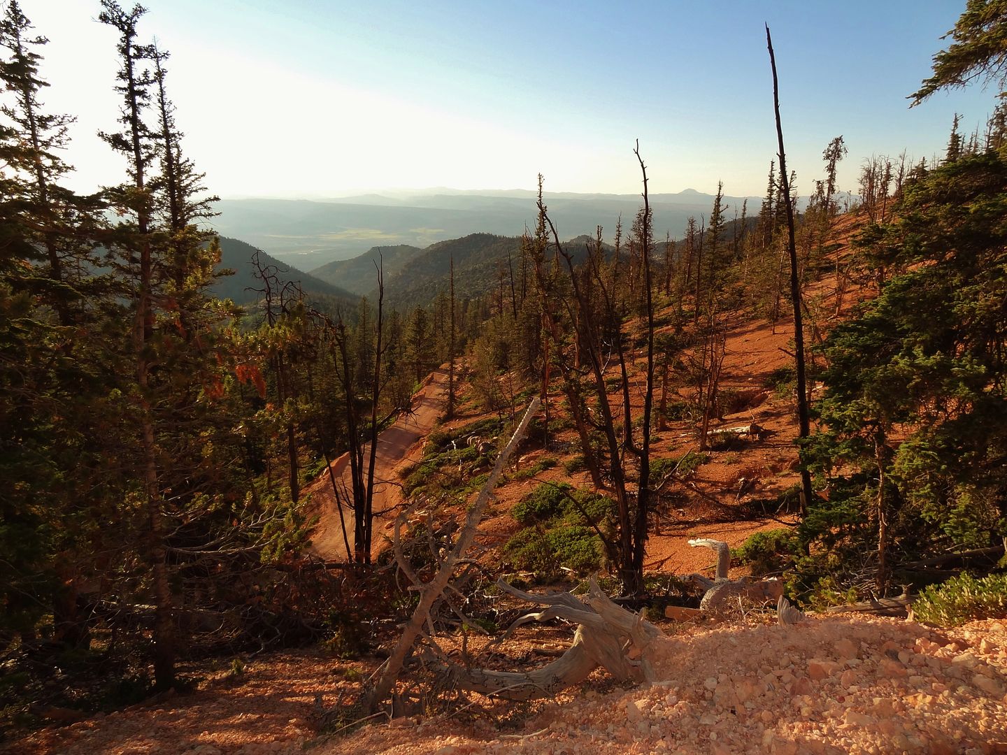
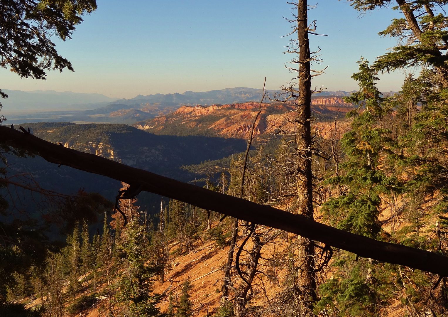
Looking back from where I had come, the trail traverses below these cliffs then climbs up some canyons to get to Rd 601.
Total for the day was 40.7mi, and 5,290ft climbing/descending. Elev range was 7,300 to 9,100ft.