 Show Posts Show Posts
|
|
Pages: 1 ... 6 7 [8] 9 10 ... 57
|
|
141
|
Forums / Question and Answer / Re: Hub dynamo and electronics thread.
|
on: October 14, 2015, 10:46:59 AM
|
|
I remember studying you're setup when you posted.
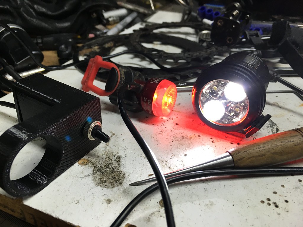
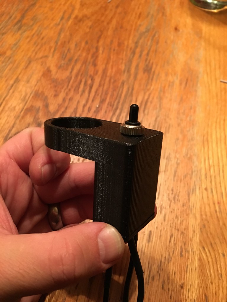
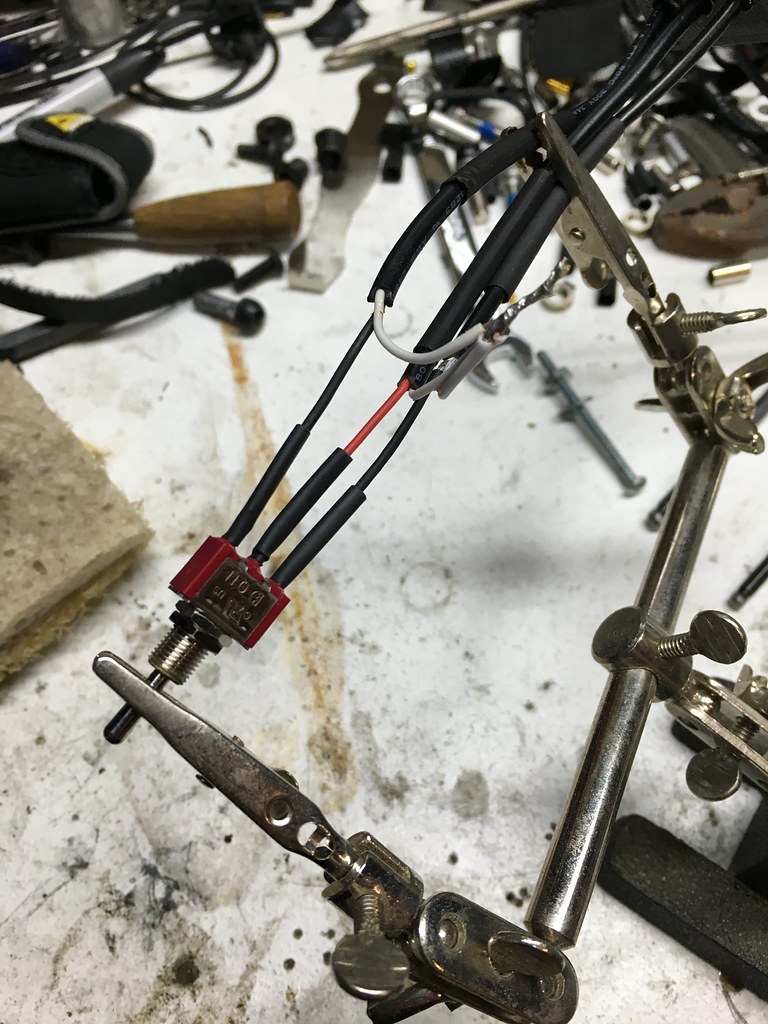
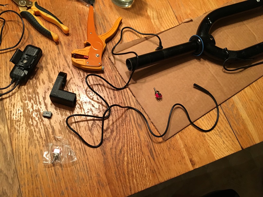
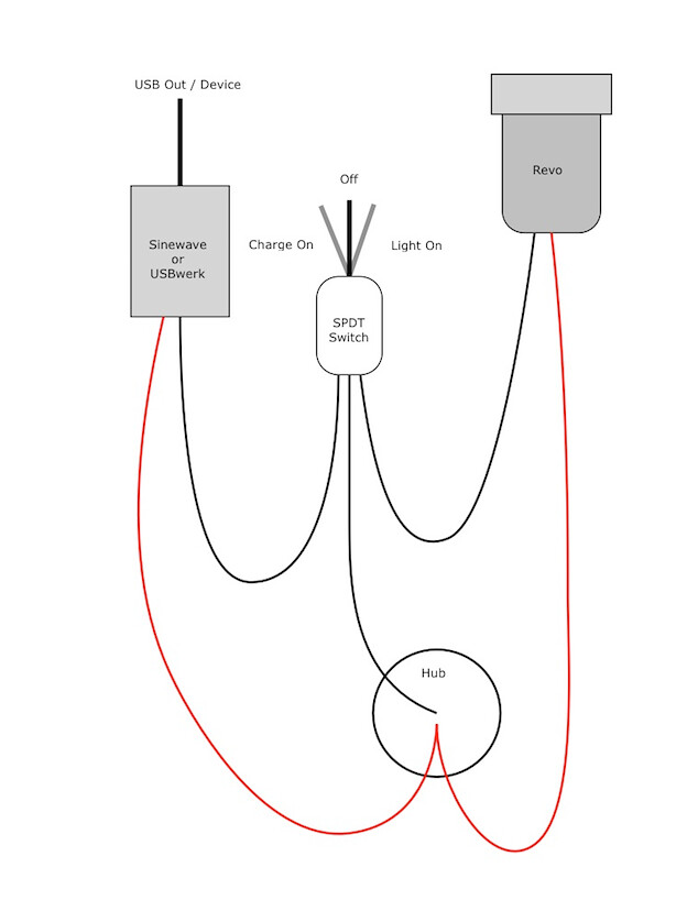
I thought about plug and play, may do that with panel mounted connections next time around. Need to test this version. The toggle... I want a weather proof rocker switch for V2. Have not had the time to research the options out there.
And will likely do a GPS base mount next time.
|
|
|
|
|
143
|
Forums / Question and Answer / Re: Need advice on a program similar to Topofusion for MAC
|
on: September 07, 2015, 04:27:27 PM
|
|
You can run Windows ??.X on a Mac using boot camp - it sets up a partition and you install windows and run the OS when you boot up. If you want to run windows within OSX then you need to also buy parallels (or similar).
Topofusion runs fine in parallels for the most part - but you likely will crash if you do the 3d visualization.
For quick updates or tweaks I would run TF in parallels (same goes for autocad and other programs I have). For heavy lifting you are better off booting directly in Windows from bootcamp.
Lately I've been using a combination of ride with GPS and basecamp, which is garmins software. Works pretty well for most of my riding. If I need to use the simification, network or analysis features (or all the cool maps) in TF I'll boot up my second Mac in windows and share back and forth using DropBox.
|
|
|
|
|
145
|
Forums / Ultra Racing / Re: XVtMtBkRte - race discussion!
|
on: August 16, 2015, 08:30:06 PM
|
|
I haven't ridden the route - only parts of the middle of it. A couple of over nights and then some day trips. But yes, generally put down wherever you need to wherever you are.
I've done several all night / overnight rides - I've slept (naps, really) on the porch of a bike shop, in a bandstand in the center of town, on the lawn of a convenience store. Some of the guys I've ridden with have slept at construction sites in those big drain pipes (out of the weather), in the ATM lobby of a bank, etc.
|
|
|
|
|
147
|
Forums / Ultra Racing / Re: XVtMtBkRte - race discussion!
|
on: August 16, 2015, 04:54:47 PM
|
|
~30-36k depending on how its calculated... and which service you use to do it.
Basically 100' to 120' per mile... although the dirt road and paved sections (there are a few) are tamer than the single track.
The route goes over Lincoln Gap... which is paved / gravel - maxes out at 24% with sustained grades of 20%...
|
|
|
|
|
148
|
Forums / Ultra Racing / Re: XVtMtBkRte - race discussion!
|
on: August 16, 2015, 12:12:39 PM
|
here is a pic i took of Wil along the route... 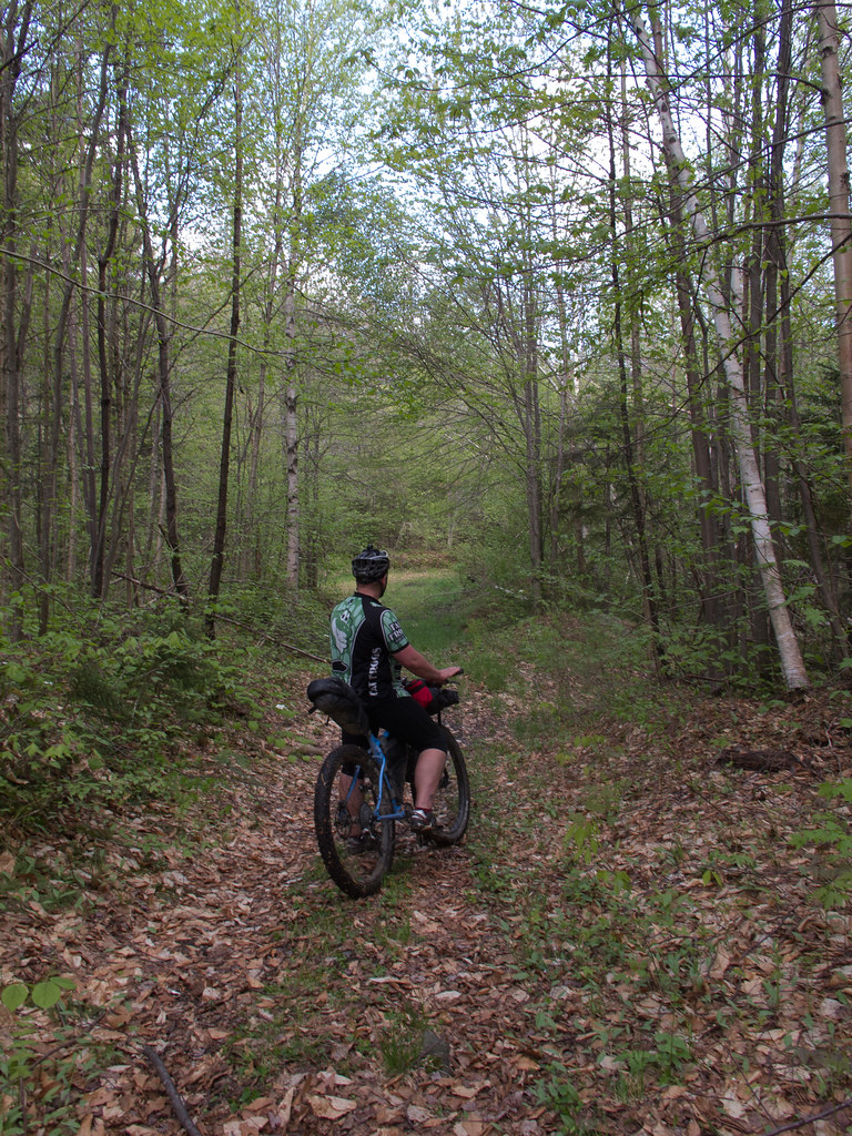 IMG_4591 IMG_4591 by Mike, on Flickr And Wil and a friend riding together for a bit: 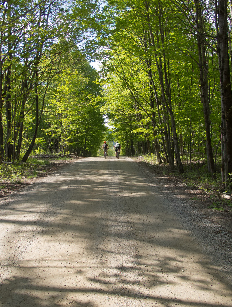 Wil and Justin, Goshen Ripton Rd. Wil and Justin, Goshen Ripton Rd. by Mike, on Flickr Here's a section of Chandler Ridge (above Silver Lake): 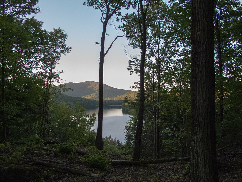 Silver Lake from Chandler Ridge Silver Lake from Chandler Ridge by Mike, on Flickr In Cotton Brook near Little River State Park: 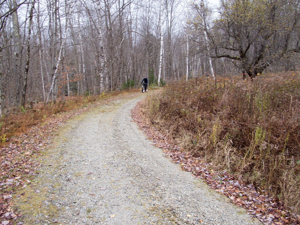 IMG_3909 IMG_3909 by Mike, on Flickr Waterbury Reservoir: 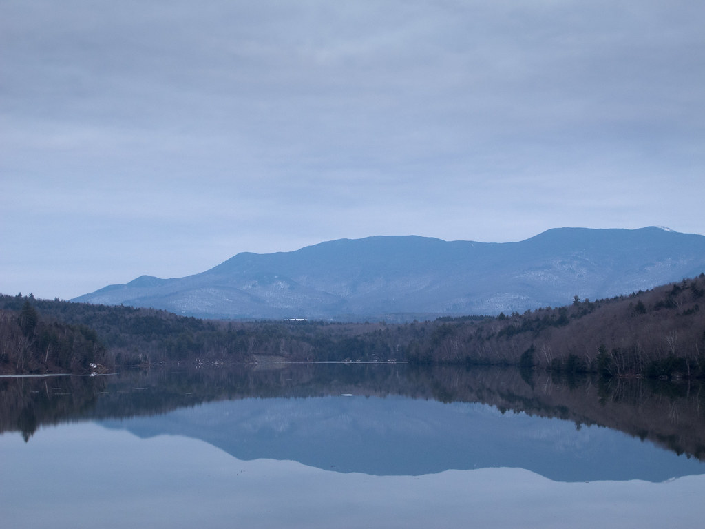 Waterbury Reservoir Waterbury Reservoir by Mike, on Flickr Trail near top of Brooks Road: 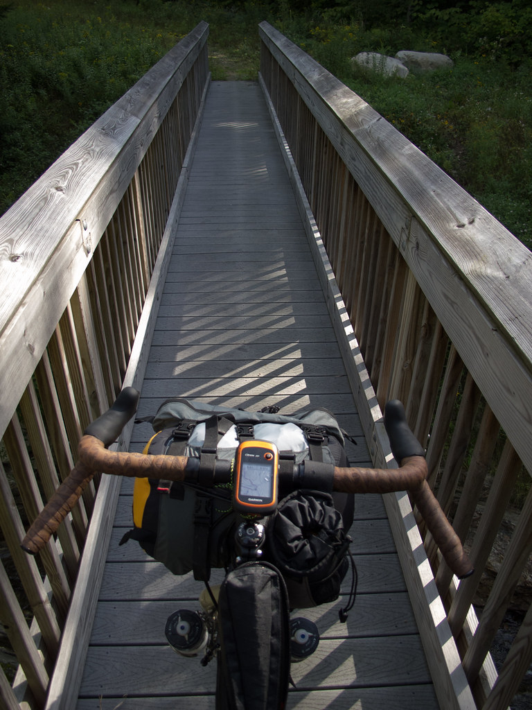 IMG_7800 IMG_7800 by Mike, on Flickr Along the Natural Turnpike: 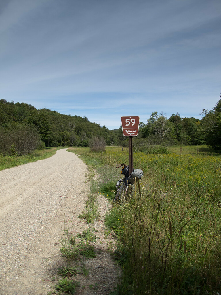 lovely meadow lovely meadow by Mike, on Flickr |
|
|
|
|
150
|
Forums / Bikepacking / Re: What's everyone using for lights?
|
on: August 12, 2015, 09:19:56 AM
|
On my Diablo, I run program number 3 when bikepacking. Can use it all night across all three levels in that program without an issue. During the day, I've had no issue charging both the Diablo to full and my GPS to full before nightfall with my dynamo - with the sole exception of a very slow, hike-a-bike day, at which point I tossed the single set of AA lithiums I now carry into the GPS.
Thats the one I use, now that I've looked at my light sitting here on the desk, for bikepacking as well. |
|
|
|
|
151
|
Forums / Bikepacking / Re: What's everyone using for lights?
|
on: August 12, 2015, 06:00:52 AM
|
|
Have not had to fully charge the Diablo from the dyno yet, have topped it off and left it plugged in a bit on my last trip. Also kept the gopro battery topped off swapping between the two.
I swap between the setting with the longest 'low' burn time and the first setting. I've used the light on low in camp with their diffuser and for navigating at the end of a trip for a few hours.
Around my local trails I get a consistent full hour + when blazing high, but I rarely use that for a whole ride. Generally use high only fall / winter in the woods early in the morning, then switch to medium / low for dirt road / pavement / bike path.
|
|
|
|
|
153
|
Forums / Ultra Racing / Re: Hardest?
|
on: August 10, 2015, 02:34:01 PM
|
A mountain bike race is mostly singletrack IMO. It's not defined by the equipment that gets used, but by the terrain that's travelled.
I've done lots of dirt touring on a mountain bike, but I don't consider that mountain biking.
So that eliminates the ITI right? Most of that is not on single track. At least in the sense of the kind I ride in the northeast. |
|
|
|
|
155
|
Forums / Question and Answer / Re: Camp Shoes?
|
on: July 28, 2015, 07:06:06 AM
|
|
I bought some Speedo water shoes to wear in the lake with the kids. Will be wearing them for a scouting trip with 2 river crossings. Good grip on the lake rocks. Reasonable weight.
|
|
|
|
|
158
|
Forums / Question and Answer / Re: Turn by turn GPS help, specifically for eTrex
|
on: July 25, 2015, 03:42:55 AM
|
|
A track is the tracing of the roads and trails you ride, if recorded on the GPS.
A track can also be created in the computer and something like ride with GPS. This is a line you can follow on the GPS unit.
A route is typically a selection of points that the GPS or the computer then interprets and 'connects the dots' by routing you through those points. The maps you have need to be 'routable' in order for this to work (well). Note that many trails are not routable so you will miss turns on trails unless you add points at critical locations to force the unit to route through them.
If you are road riding routes can work pretty well. But because the route is generated on the device it may be slightly different than what you built in your computer. (The randonneuring folks have work arounds and tips and tricks to keep you on the exact precise route). If you just need to connect 2-3 points and don't care about the precise route, then the auto routing might work for you.
If you are riding mixed terrain routing like this might not work for some or most of your route. Really depends on of the trails you've picked can be interpreted.
For all or mostly trail riding I wouldnt worry or try to use a route - I would generate a GPX track and just follow the line.
For a mixed ride I do the following:
Create the GPX track, load to unit.
Create a route - adding points at trail intersections and key points.
On the unit, show the track on the map. Don't navigate with it, just show it on the map. This way you'll see if your route and your track line up.
Load the route and navigate using it. If done right with the right maps you will get the turn warnings.
(I don't use beeps and notifications, so you are on your own there...)
This shows you the actual squiggly line on the screen and overlays the choppier straight line route over top (again, maps are key here to get autoroute get to work right).
I have distance to next up as one of the data fields - so I can see how far it is to the next turn, waypoint, etc. This isn't always exact depending again on how the track and route overlay... But is generally close enough.
For riding like your friend does with beeps and bloops at every turn your maps on the device have to be compatible with routing and you have to fuss with the settings for turn notifications. But I don't use those features... Most of the time I generate a track from ride with GPS and or TopoFusion or BaseCamp and follow the line. I zoom in enough to see what's coming up and glance at the screen to know where I'm going. For longer rides I have made little cheat sheets like cue cards, but don't do that anymore. I just follow the line.
Not helpful if you ride with music or get lost in your thoughts and need constant reassurance and pointers that you are on route... But has worked well for 60,100,200 and 400k rides.
|
|
|
|
|
159
|
Forums / Question and Answer / Re: Headlight and Bar Bag
|
on: July 21, 2015, 06:53:57 AM
|
 cockpit on the fargo cockpit on the fargo by Mike, on Flickr I bought a little bar extender. Problem Solvers I think? There are others. Let's me mount the light higher up to shine over my bag. On the pugsley I used a terra cycle mount to get the light on the side of the fork, but up high and out front a bit, tucked under the harness. |
|
|
|
|
160
|
Forums / Bikepacking / Re: EVENT: 2015 APA Packraft Roundup
|
on: July 20, 2015, 06:06:59 PM
|
|
Looks great. What kind of difficulty can one handle with a bike and gear on board...?* Something I really want to add to my kit here in the east. Across the lake from me are the ADKs. Lots of nice laces to ride, but most of the cool places end in wilderness or water. Bikes are allowed to be carried (possessed, according to the park guidelines) in wilderness - so one can carry through - but floating out and connecting to other places would be rad...
*assuming one takes time to learn a modest set of water skills...
|
|
|
|
|


