|
281
|
Forums / Bikepacking / Re: Dave's Hairy Monster.
|
on: October 27, 2009, 08:31:06 PM
|
Day four. Waking at sunrise, the view from the bag. 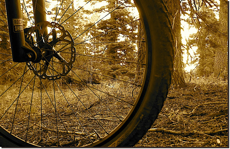 Neither of us moved very fast to get on the trail this morning. That fact may have had something to do with the cold temps up here at ~9k', may have had roots in the frequent rude awakenings we'd experienced at the hands of oblivious (they never knew we were there) and intoxicated late-night ATV joyriders, or it could simply have been that we were tired from the effort of touring. Whichever it was we moved slow in packing up, even briefly rekindling the embers from the fire, and then once back on the trail we just kinda collectively shuffled along. No hurry, no schedule, stopping for whatever reason (or no reason at all) was just fine. It was only around lunchtime that I realized what the *real* cause for TO's lackadaisicality had been: Withdrawal. 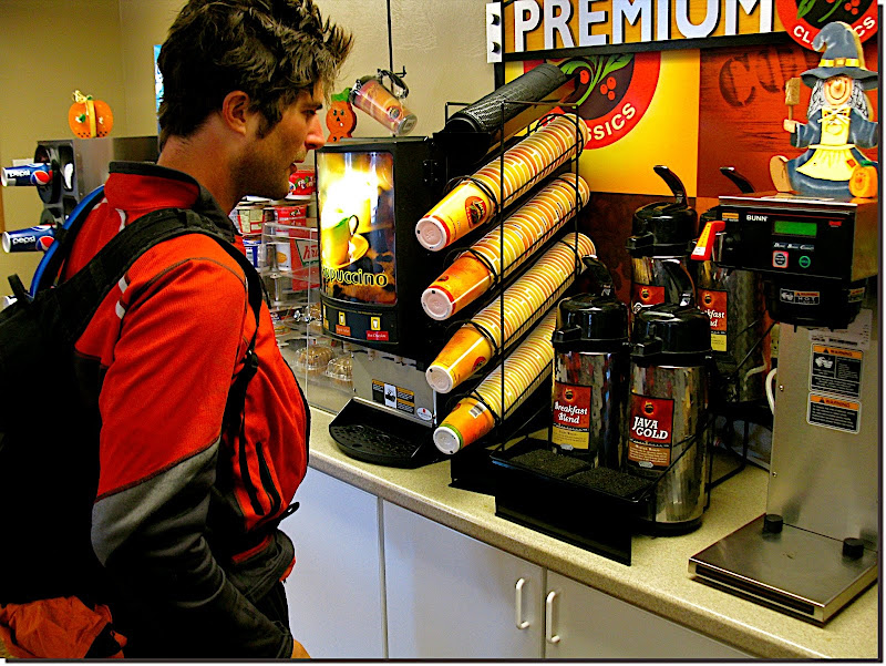 A new man walked out of that gas station, fully charged on several cups o' mud. He pushed the pace (relatively speaking) the rest of the day, animated the conversation, and took the initiative to think proactively about our water needs. An amazing transformation, all at the hands of a few hundred milligrams of caffeine. But that was all on TO's end. I'm not afflicted with any kind of liking for coffee, so after we left the gas station I pretty much continued to drag ass, relatively speaking, the rest of the day. Working our way up one of the steeper bits of Pole Canyon. 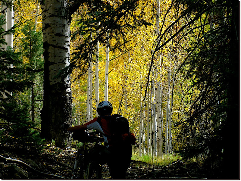 What we saw when we popped out on top. 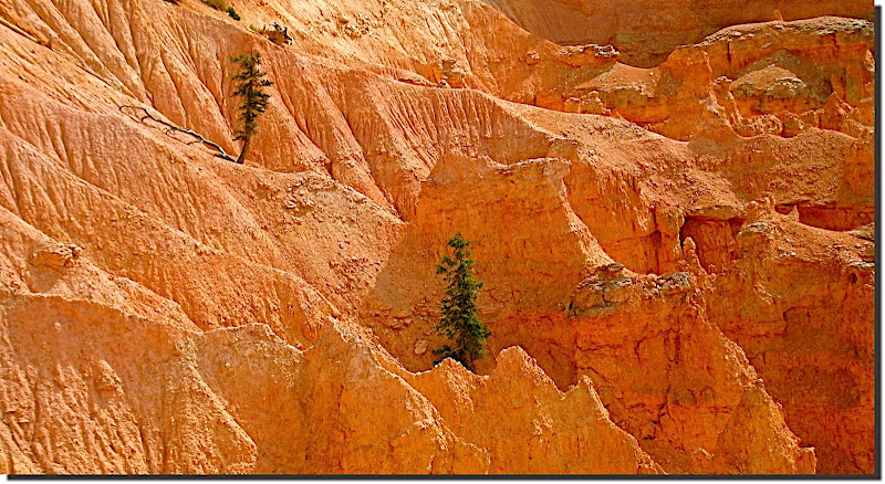 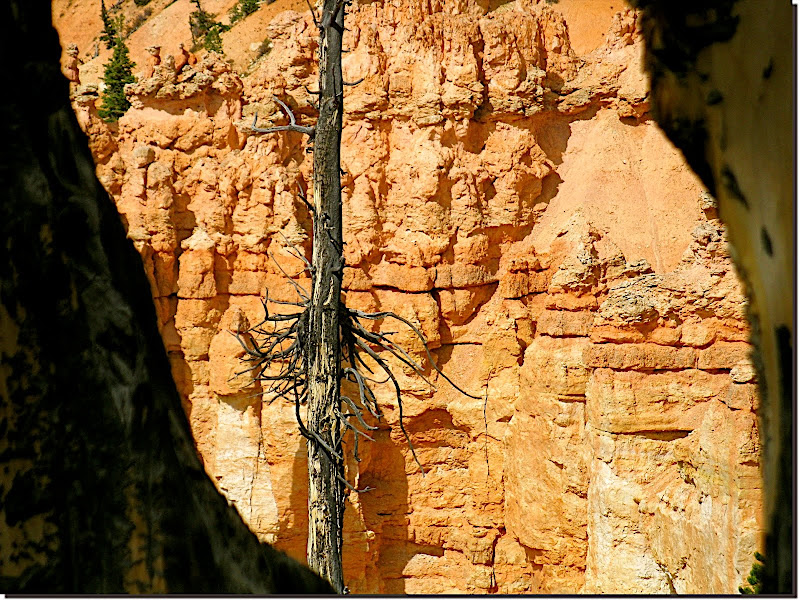 Many clouds in the sky today, pushed (pulled?) along by the everpresent wind. We got so used to the blow that it was only in very brief (and very protected) moments that we noticed the odd absence of it. And then we'd be right back in it. Dressing for the day meant dressing for wind chill and immediate evaporation of any perspiration. Easy enough. 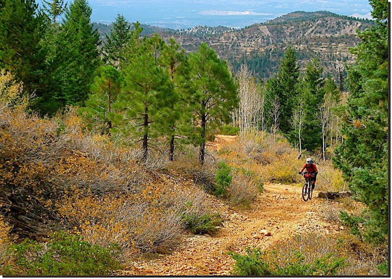 For the next chunk of hours the trail dipsy-doodled along the edge of the Sunset Cliffs. ATV-width trail, often badly eroded, led us back and forth from the cliffs to mixed groves of aspen and spruce. 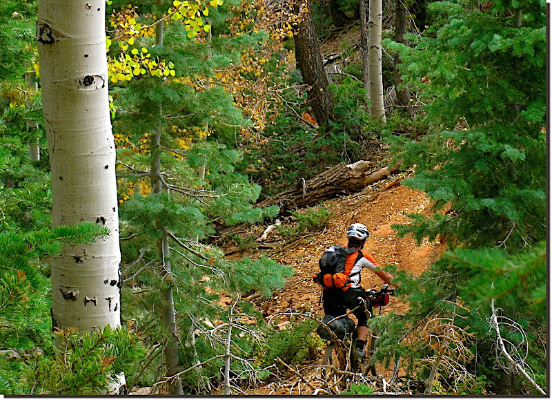 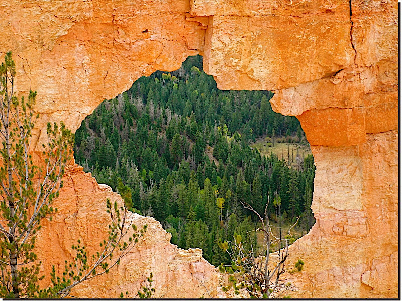 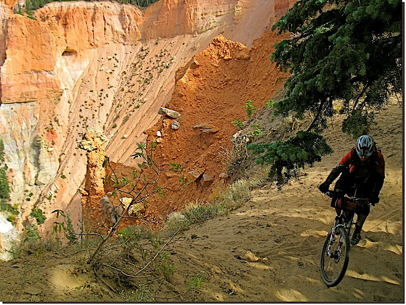 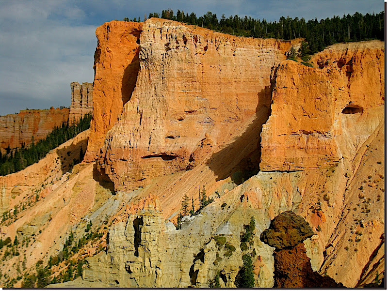 Ever wonder what that stuff looks like up close, what the glue is that holds it all together? Mud. 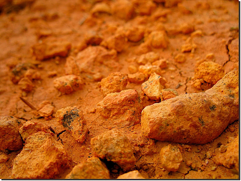 Such stunning views tend, eventually, to desensitize you to the stuff closer at hand. I fought to remain sensitized. 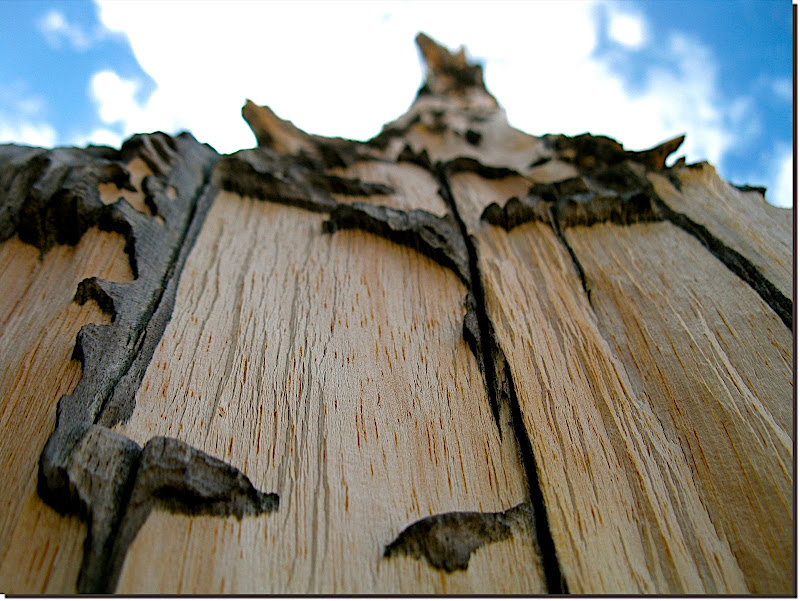 Someone had to. 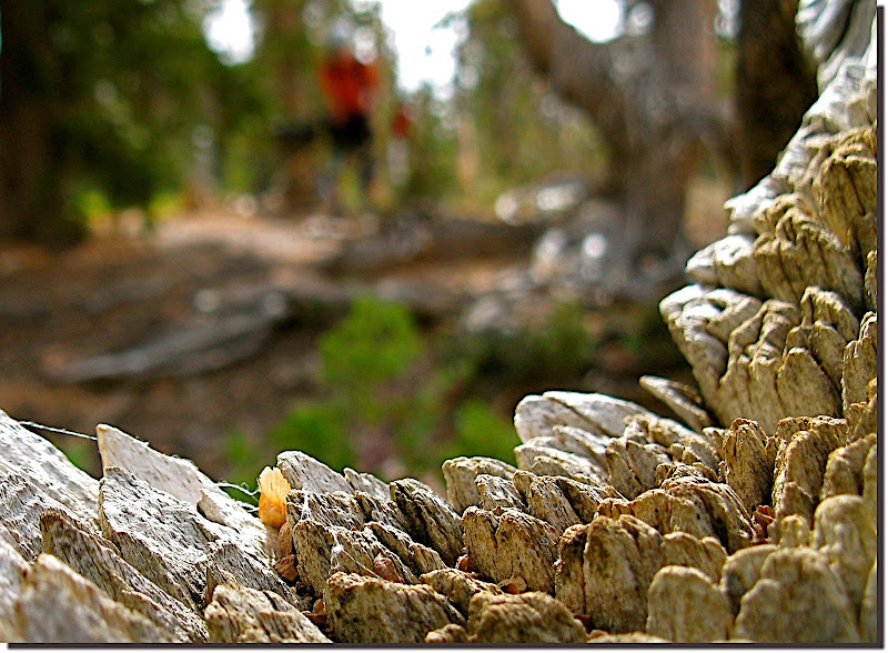 We descended a quick, exhilarating ~thousand feet into a dry creek bottom, where shandy track awaited. 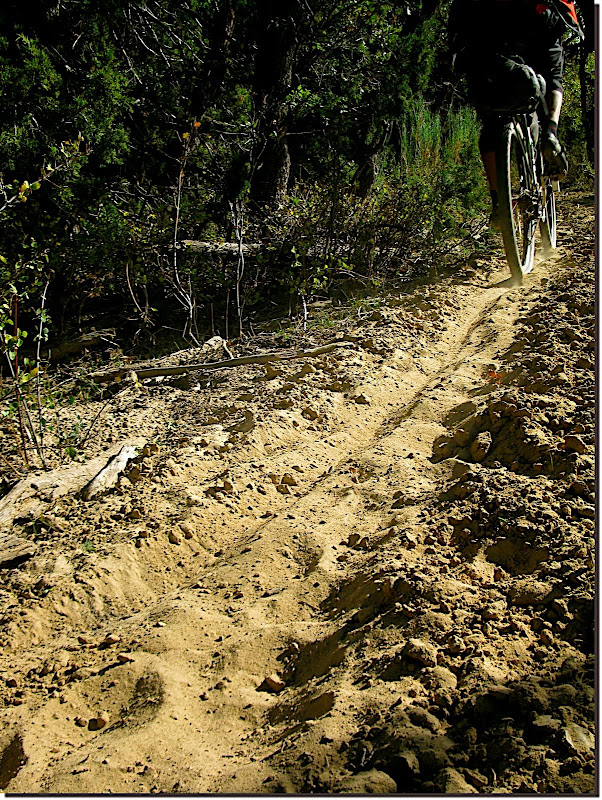 A proliferation of healthy oak argued for the likelihood of water nearby. 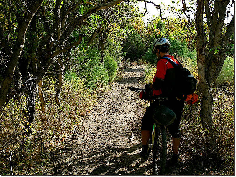 TO checked the cues and found it so--not a mile ahead we came upon this clear running spring.  When I moved out west ~17 years ago, childhood friends afflicted with the " Here's better" bug would attempt to argue that fall colors were far superior 'back home' compared to the 'just yellow' that we get in the mountains. 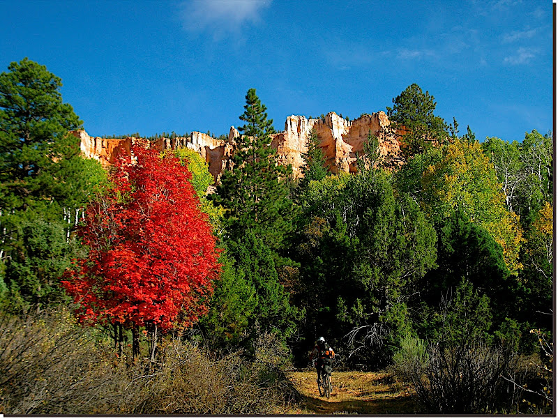 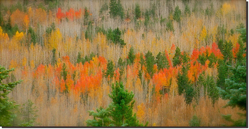 To this day I just nod and agree. 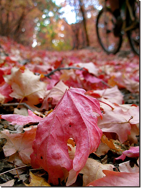 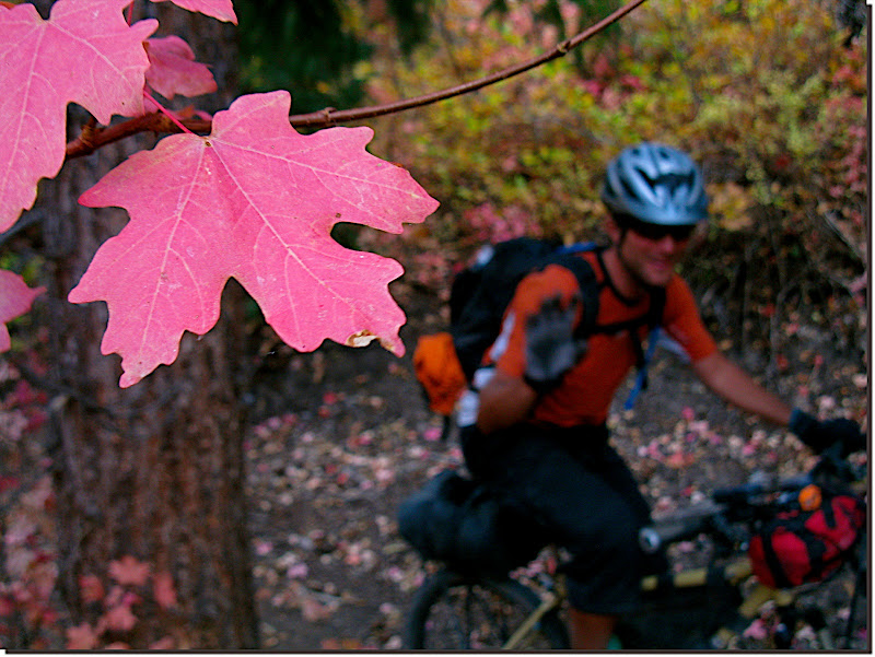 Working our way out of the valley and back onto the flanks of the Paunsaugunt Plateau. Big trees, big views, little us. 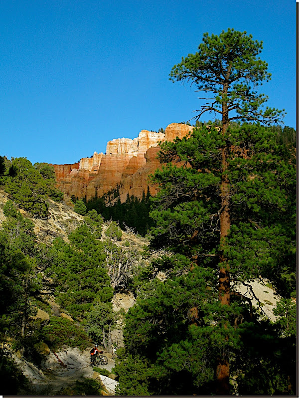 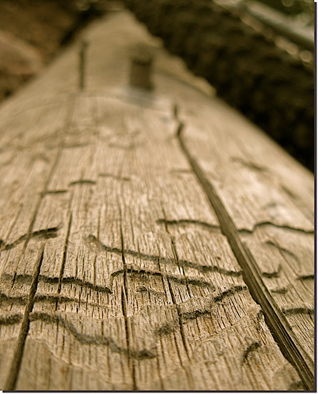 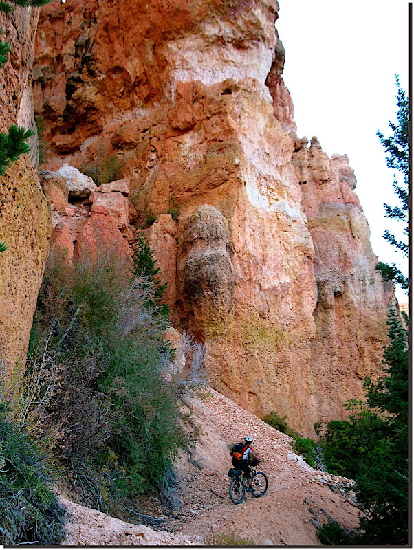 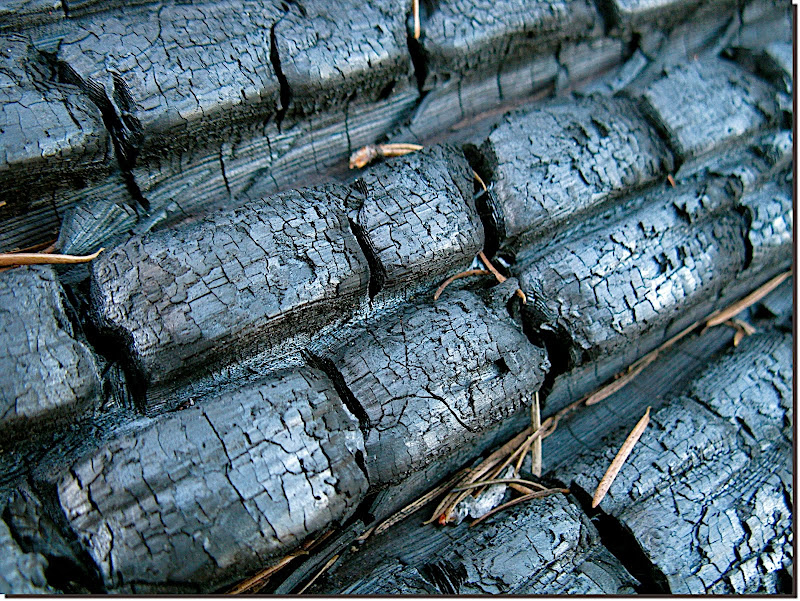 Lots more 'just yellow' greeted us as we approached Water Canyon. 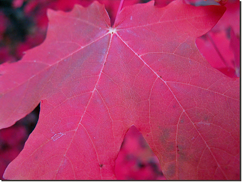 Although the riding got better and better as the sun set and moon rose, the wind had increased to the extent that we were having a hard time seeing the trail. Too much wind-whipped dust illuminated by our headlamps culminated in an awkward slow speed endo for me. We called it a night at Mill Creek Canyon, comfortably insinuating ourselves into the bosom of the big trees dominating that spot. Sinfully thick beds of duff twixt our pads and the earth, a small but bright blaze to warm our faces and feet, murmurs of appreciation as we tucked into our meager trail fare. TO crashed out a bit before I did, giving me a few minutes of silence to be thankful for roadless places, the health and wealth to get to them, and a companion so tolerant of my intolerance and other idiosyncratic behaviors. Then I passed out. MC |
|
|
|
|
282
|
Forums / Bikepacking / Re: Dave's Hairy Monster.
|
on: October 25, 2009, 09:10:55 PM
|
Day Three. Waking up with Al, and learning that it was dang cold outside that motel room door! 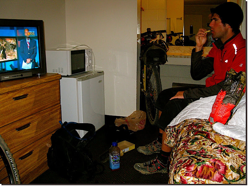 We dilly dallied until the sun was pretty high, then started working our way up the canyon. Locally we call it chamisa. Nomenclature aside, this stuff is hardy! 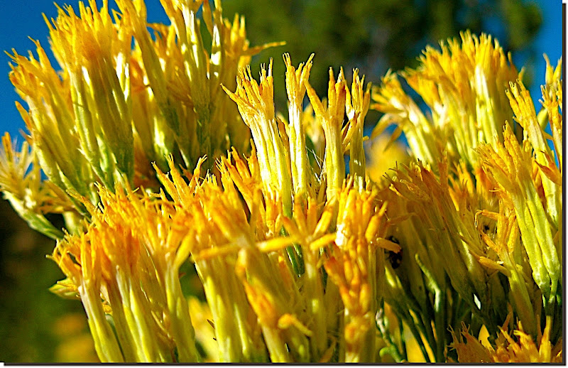 The first ~90 minutes of our day looked a lot like this. Nice grade, nice temps, nice light. 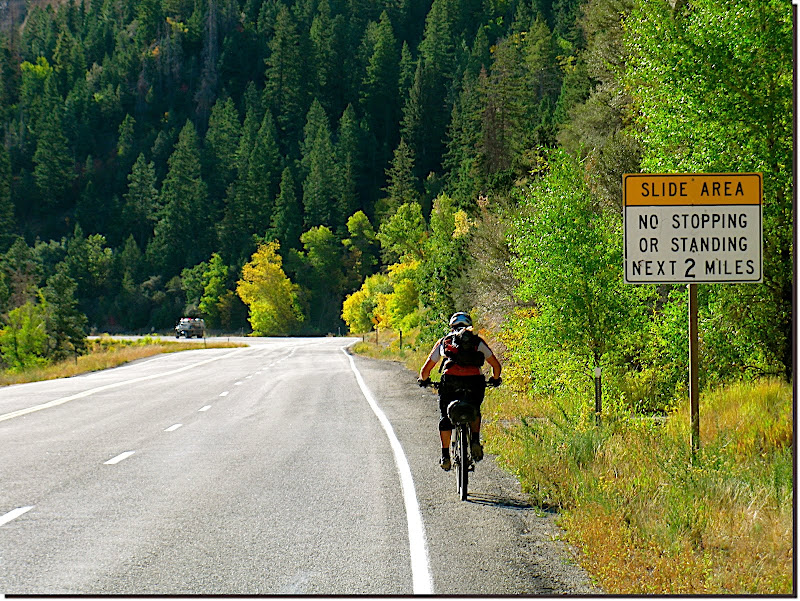 I *did* mention it was cold, right? 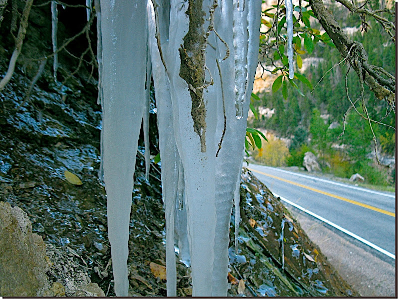 Leaving pavement was a relief, made even better by turning quakies and tacky trail. 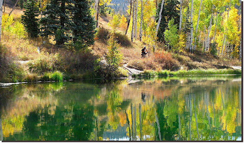 This pic has everything--action, intensity, bling, mystery, and... ...Red Vines? 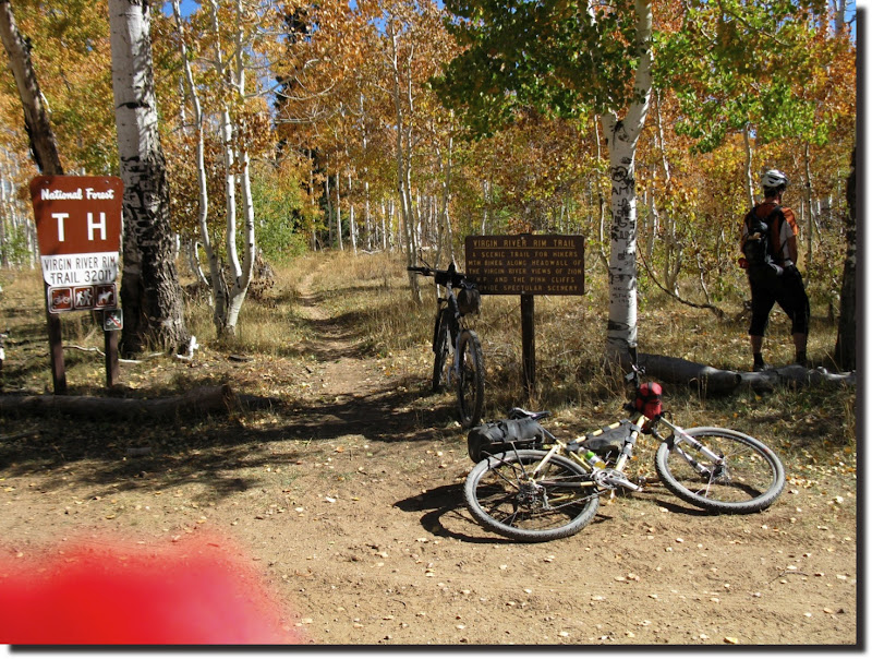 Three days running the sky looked *exactly* like this. Not a single contrail, much less a cloud. 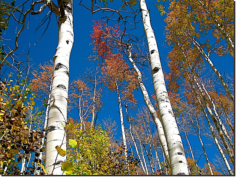 Artsy fartsy leaf shot, cleverly disguising (flavoring?) the waters of Lundell spring. 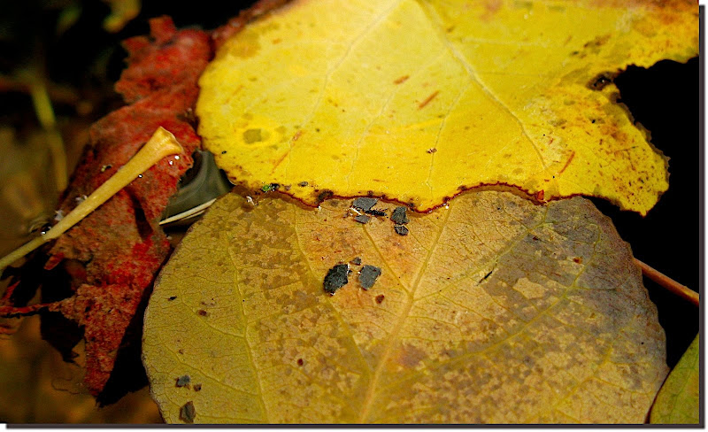 Now I'm not naming names here, but someone in this photo has a problem that over the counter meds haven't been able to solve. No report on whether the prescription stuff has worked any better... 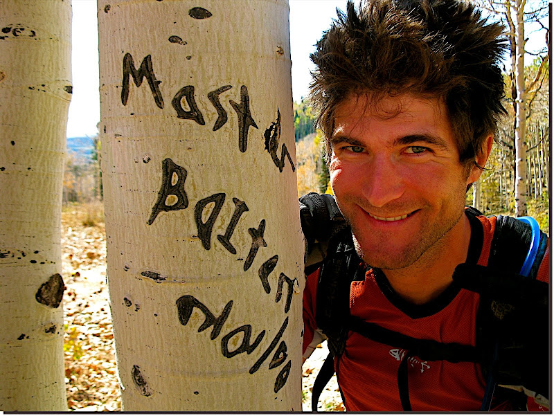 The number and attitude of these downed trees (and the ones visible ahead) suggested avalanche, but it was hard to see where the momentum came from. Aliens, perhaps? 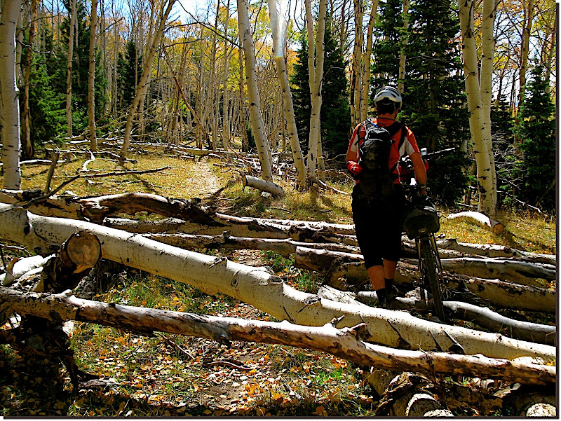 Most of the VRRT was easily rideable with great flow through gladed groves and open meadows. 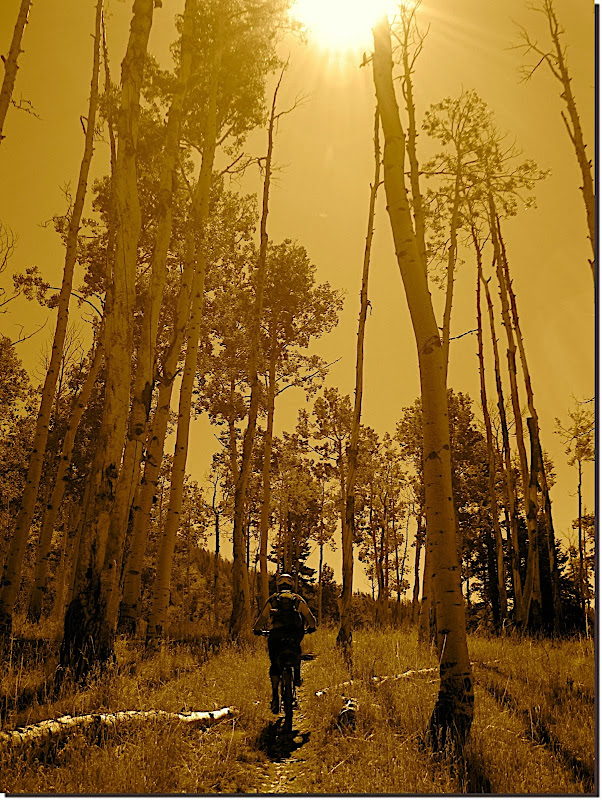 Trailwork happens. Thanks! 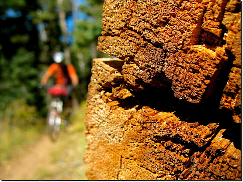 Cold overnight temps gave way to purrrrrfect mid-day riding conditions. With the exception of a bit of lingering wind, a guy would be hard pressed to ask for better than what we got. 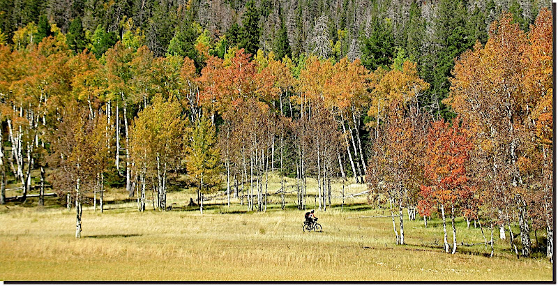 I'd been toting my packable fly rod from the start, hoping to put it to use in providing a meal for us somewhere along the way. I envisioned stumbling onto a pile of spawning brookies once on Boulder Mountain, but that was several days away and here we were, today, with access to a lake fulla rainbows and no schedule to keep. 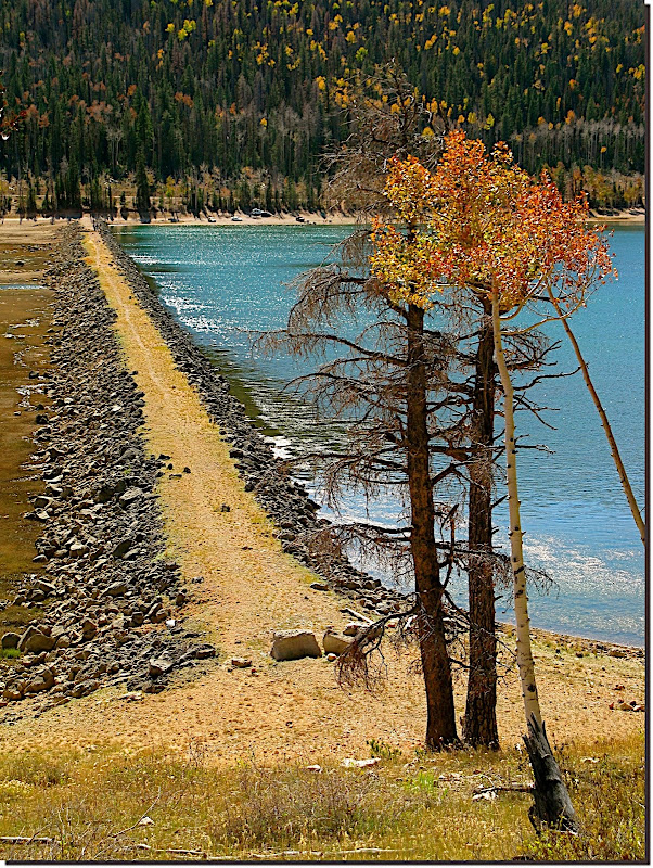 TO was game to nap while I played with the fishies. I asked a few lakeside old codgers (you know the kind--sitting in their favorite lawn chair, 6-pack cooler on one side, tackle box on the other, line in the water with bobber bobbing, "I'd rather be fishing" or "Ask me about my grandchildren" or "John Deere" on their ball caps) if they'd had any luck ("Not really") and if so, what the fish were hitting. To a man the answer was a disgusted and confused (as if the answer were so obvious that even the local Democrats knew) "Powerbait". Shoulda known... We were back on the trail (skunked!) after 15 minutes spent untangling monofilament, courtesy of gusty winds. Didn't even *see* a fish... But the trail we rode back onto, 'twas veddy veddy nice. 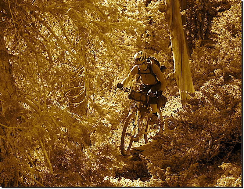 Ascending switchbacks, micro-tech sections, roots, rocks, and even an occasional downed tree to hop. Without a doubt the VRRT was some of the most fun and interesting riding we did. 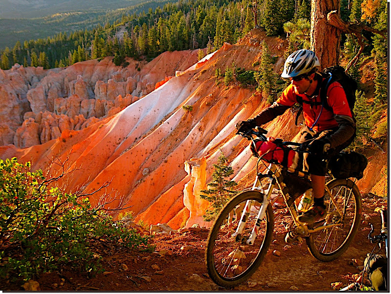 Some pretty OK views too. 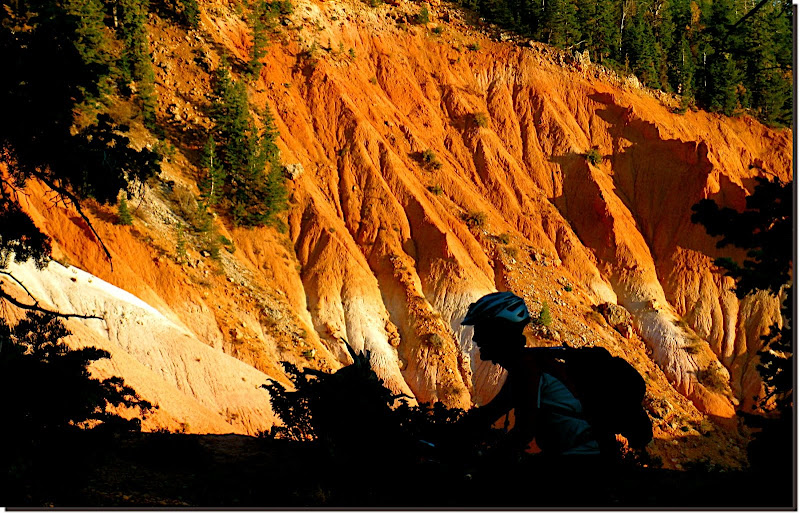 Almost full... 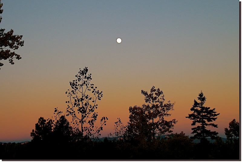 Near the end of the VRRT we dismounted the bikes, walked a ways out into the woods, then set up camp. Tarps strung between trees, bags unstuffed and pads inflated, water heated, meals rehydrated and eaten, teeth brushed, etcetera. Then kindling was gathered, wood collected, and fire struck. After a time, aspen and spruce transformed into glowing embers. Conversation ebbed and flowed, problems solved, new ones discovered, then they too were solved. Ducking the smoke, leaning away from the heat of a newly added log, subconsciously moving closer as the pile burned down. 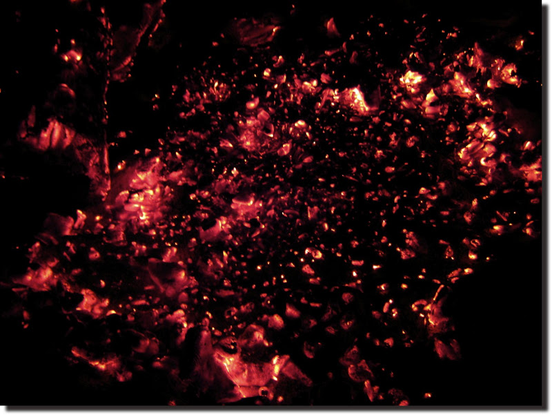 Living, plain and simple. MC |
|
|
|
|
283
|
Forums / Bikepacking / Re: Dave's Hairy Monster.
|
on: October 25, 2009, 08:45:22 AM
|
Day Two. The wind continued unfettered all through the wee hours, but we scarcely noticed through the fatigue of our first day out. In short, sleep was very, very good. Up and rolling shortly after sunup gave us superdelicious warm light to ride in, and through, on our way north. 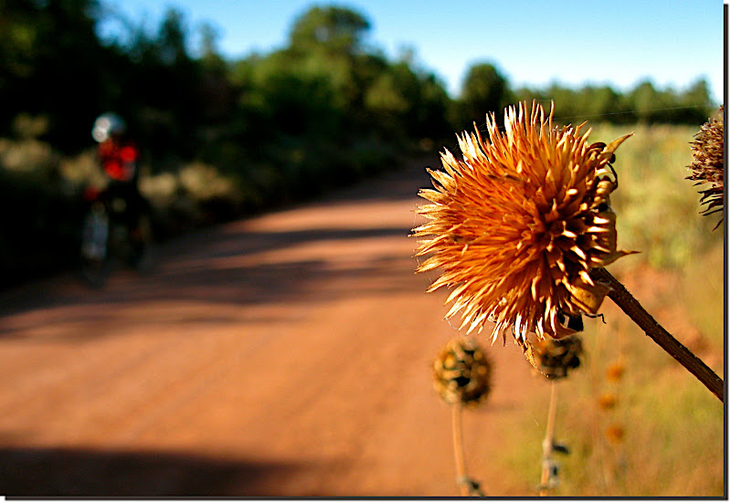 " Hey, lookit me, lookit MEEE!" 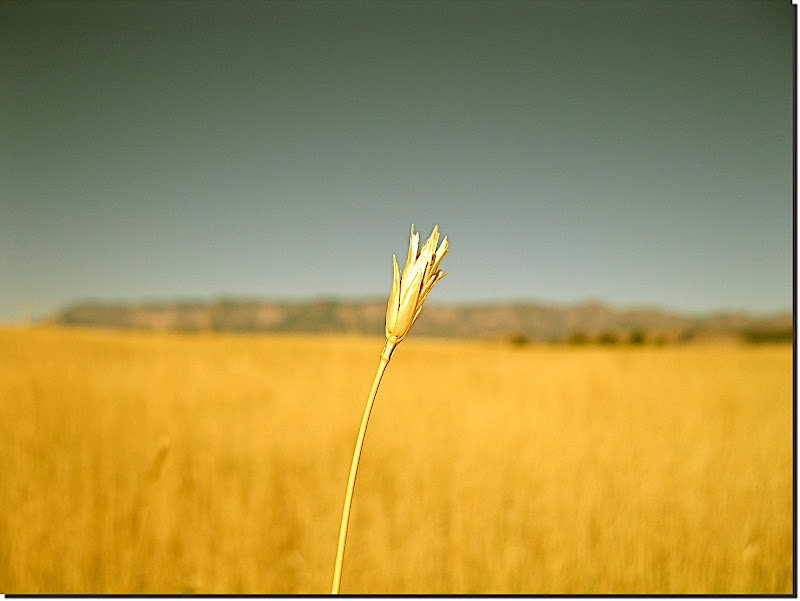 A good chunk of the day was spent riding near to and inside of Zion National Park. You can't "see" Zion from any road, but still--this kind of preview didn't suck. 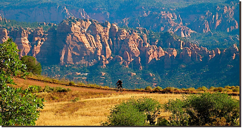 Because of strict no-bikes-on-trail rules in the park, as well as all of the private land surrounding it, we spent the lion's share of the day riding dirt and paved roads. We knew that Dave had agonized over where and how to send the route, and figured that the options must have been slim indeed. We had to get north somehow to tie into the alpine trails that we hoped would follow, so we enjoyed the views and tolerated the roads. 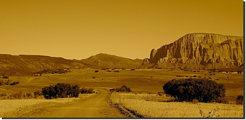 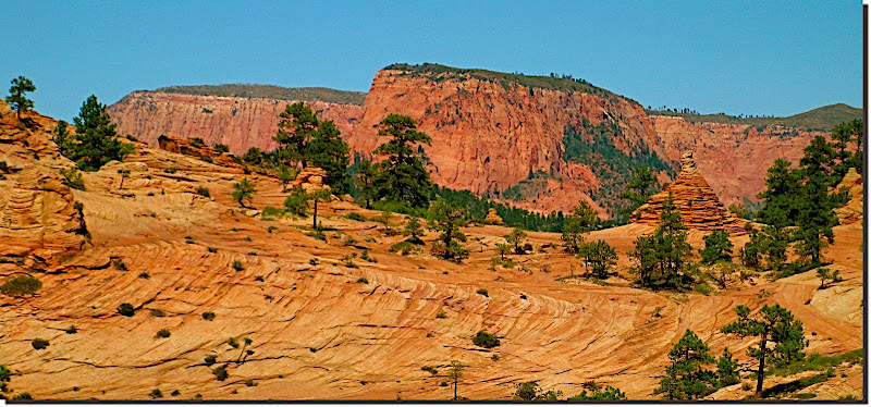  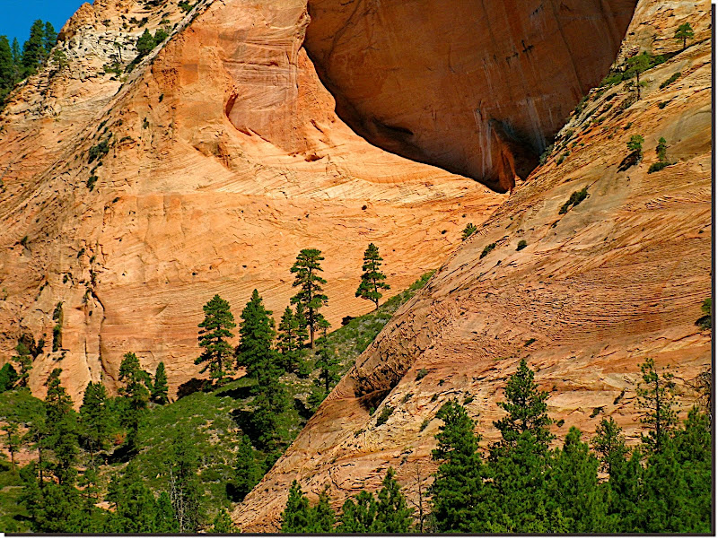 The higher we climbed the more the wind prevailed, and the more evidence of full-time wind existed. 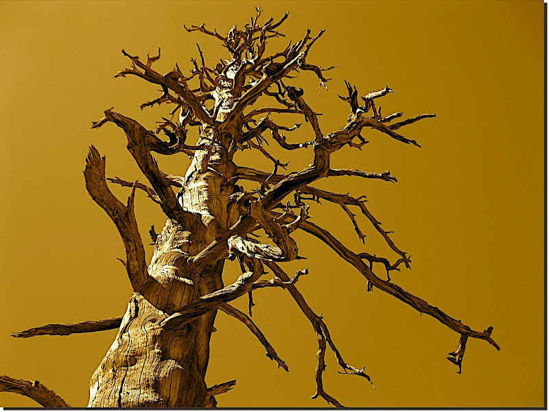 TO seemed not to mind the soul-crushing roads quite as much as I did. Truth be told he nailed it on the head when he said, " You have an exceptionally low tolerance for 'em". I guess I just don't understand why anyone would choose to ride a mountain bike somewhere that a car can be driven. So limiting, so uninspiring, so lacking in challenge and, more importantly, fun. A seaweed fueled break, complete with micro-nap, gave me the gumption to get back on the bike and unwind more not-so-skinny.  Kolob Reservoir provided another welcome respite, as well as water to get us through the rest of the day. 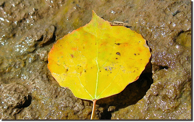 Above Kolob we climbed out of the red rock and into lava underlaid aspen groves. 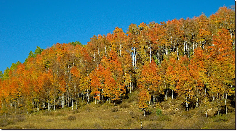 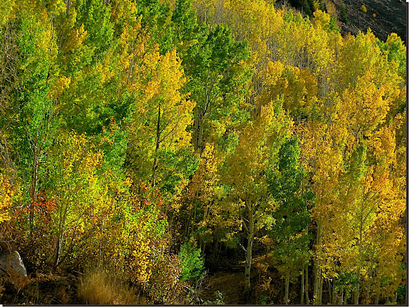 Not a single cloud blighted the sky all day. We looked *hard* for 'em, fearing the incessant wind would bring snow to end our trip early. Not one.  Above Cedar City. 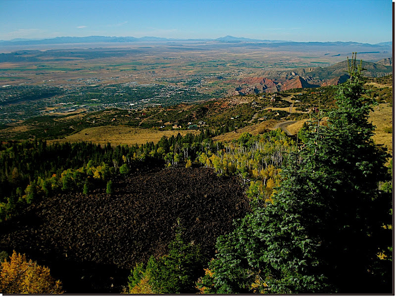 The GPS track led us onto the "C" trail, and the best riding of the day immediately assaulted us. Wall ride! 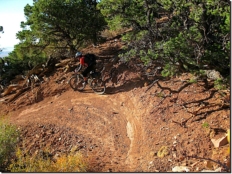 Arriving in town at sunset left us little choice but to stop for the night. The ensuing road climb up Cedar Canyon is narrow, twisty, and long, and people drive fast on it, none of which sounded appealing to us in the dark. We sprung for a forty-dollar room and indulged in a hot mexican meal at the burrito joint next door. Then, of course, some bad TV followed by blessed sleep. More to come. MC |
|
|
|
|
284
|
Forums / Bikepacking / Dave's Hairy Monster.
|
on: October 24, 2009, 11:05:12 PM
|
Day One. The Omnivore needed to head north for more educatin', but wanted to get one last glimpse of the landscape he plans to call home before excusing himself for a year. He asked if I had an idea on how we might immerse ourselves into said landscape, see a few sights, and maybe camp a few nights under the stars. An idea? Yeah, I had an idea. Packs loaded, chains lubed, weather websites perused and tires aired up, we rolled out--and straight to a pharmacy. I didn't catch exactly what it was that ailed him--he mumbled something about ' atrocious gas' and ' hairy palms' as he ambled off inside. 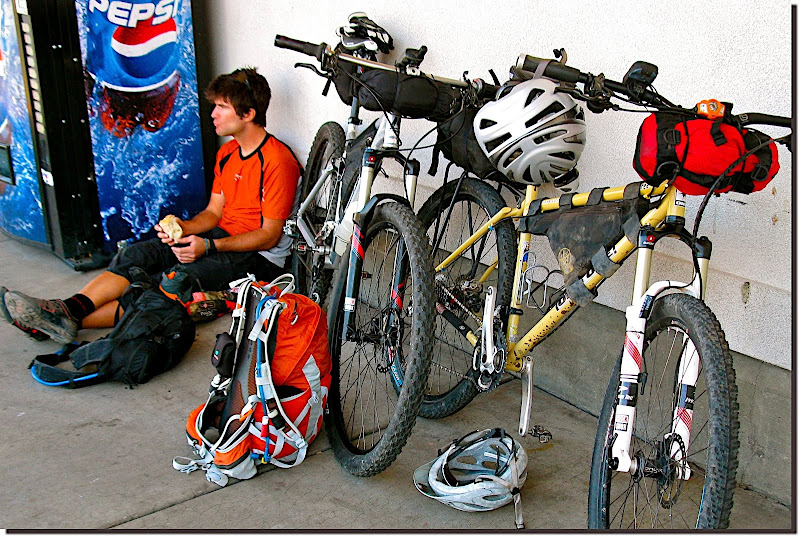 We stowed some emergency calories in our bellies and on the bikes, then saddled up and followed Dave's GPS track through and out of town. 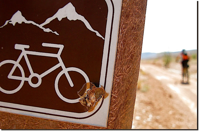 For those that haven't gotten on the GPS program yet, I gotta tell ya it has really evolutionized touring. You can still opt to take maps and cue sheets if you like, but they've become largely superfluous (not to mention much slower and more cumbersome) once you're accustomed to your GPS unit. A glance at the screen every few minutes tells you if you're off the designated route, and intermittent waypoints (created, in most cases, by the route's mastermind) point out confusing intersections, good potential campsites, and, most importantly, water sources. While I refuse to allow a cell phone to bring unwanted chaos to my life, I'm no luddite. GPS is not perfect but the pluses far outweigh the minuses and touring is infinitely improved by it. Dave's route wound us immediately south into Arizona for the better part of the afternoon. Scenery included oodles of red dirt, oceans of red and buff colored rock, a deep, dark blue sky, and many spiny things. For company we had each other and the wind. 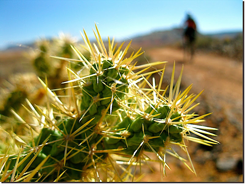 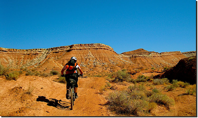 TO decided that the trail wasn't entertaining enough, opting to add some excitement with the first of (what seemed like) 70 or 80 flats. 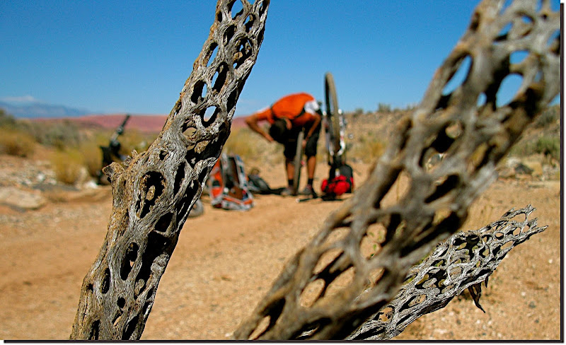 The coolness of the day meant that we hadn't used much water, but Coyote Spring looked too appetizing to skip. The hundreds of bees surrounding it would seem to agree. 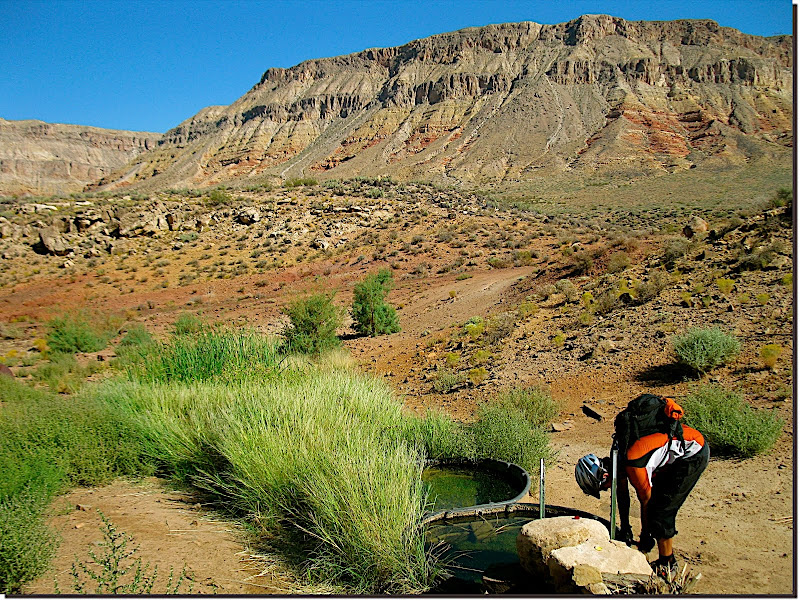 That same coolness also lent a certain flavor to the low desert: In my mind it felt much higher. Dunno exactly why. 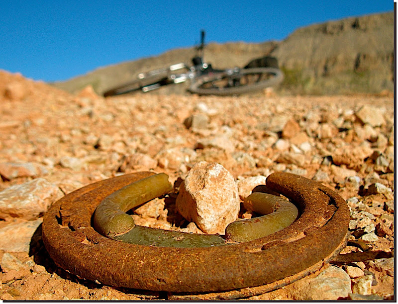 A stinger of a climb up the Honeymoon trail awaited us near suppertime. TO flatted again just as we started ascending, leaving me free to grind the lower stretches and plod the upper stuff at my preferred slothlike pace. 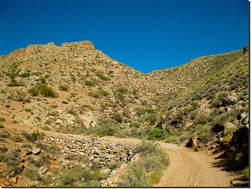 Riding together up top, we roller coastered almost due north toward familiar ground. Although the trails of Gooseberry Mesa are not a part of the route (blasphemy!), just sensing their proximity put a little extra pep in my step. 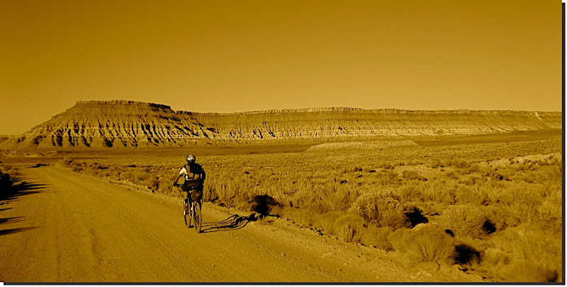 The golden hour found us cruising the swoopy sweetiousness of the J.E.M. singletrack as a waxing 3/4 moon floated ghostly over Zion. 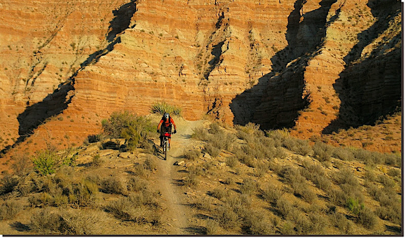 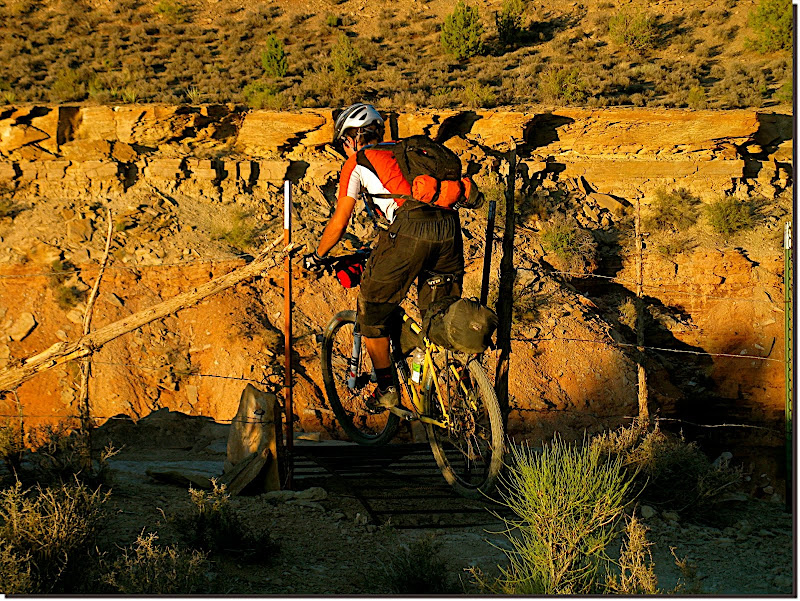 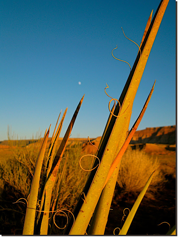 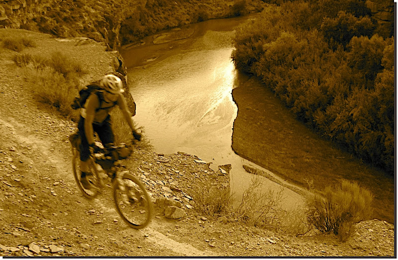 We rolled into Virgin at dark, topping off our water and onion ring stores at the one-horse tourist trap up the road. The steepness of the ensuing Smith Mesa climb was nearly negated by the perfect-for-climbing-in-the-dark temps and the more-than-adequate-for-riding illumination of the moon. Atop Smith Mesa we called it a night, unfurled our sleeping gear, and passed out. More to come... MC |
|
|
|
|
285
|
Forums / Ultra Racing / Re: Trans Utah 2009
|
on: October 04, 2009, 04:39:04 PM
|
|
Congrats to T and B for completing TU--really looking forward to reading all about it! And Kirk! Take an extra dang day off next time!!!
Meanwhile, Moobs and myself are slowly touring our way along the route. We enjoyed some jungular Grandview goodness yesterday, and are currently feeling a bit, er, 'Tropical'.
Which is to say that as we finished loading pounds worth of M & M's onto our sleds we pointed them Powell-ward, but then stopped when we noticed Moobs rear wheel was a bit shonky. We peeled off the tire and had a good gander, only to find that his rim is splitting down the middle. Not so good.
If anyone has Hairball's cell #, would you please pass it along? We're hoping to bribe him into loaning Moobs a wheel (*and* delivering it!!!) so that we can ride the last monstrous bit of this epic. Realistically, we're prepared to hitch back to Moobs car in Boulder and come back some other time...
Any help 'preciated...
MC
|
|
|
|
|
286
|
Forums / Ultra Racing / Re: Tour Divide 2009
|
on: July 21, 2009, 08:53:39 AM
|
Where's the proof that Deanna cut or mis-rode the 2009 Tour Divide course? Has she admitted any wrongdoing? How can Matthew rightfully "relegate" her weeks after the alleged incident? How can this "race organizer" claim a lack of bias when he was a competitor in the event, too? This event can have no credibility if a competitor in the event gets to quarterback it AFTER it takes place (or even during it, for that matter). What's next, "relegating" somebody who beats him next year? Give me a break. This is as rank amateur as an event organizer can get. And I say that as a full-time professional event promoter, who also has the good sense to not compete in my own events. Respectfully, Chris, you're out of line here. Being one of the few that works hard and earns a good living promoting top-notch for-profit ultra races gives you no right to (harshly) judge those of us who've kept it a purely passionate thing. Matt made a tough call based on hard evidence. We don't have to like it (I *really* wanted the chica on the hoopty bike to be the first to scorch the route) but to personally attack Matt for having the integrity to use the facts and make a decision is ridiculous. And juvenile. And silly. The GPS units were not mandatory; it's not right or reasonable to turn around and try to use the data they provide in this manner. Three things come to mind here: -Neither tires nor shoes are mandatory, but if they leave a track in the mud can you not then say where a rider has been? -You're OK with using the SPOT to see where racers have been, but we're supposed to ignore when their dots wander off course? -If she wasn't carrying a SPOT then deviating from the course would have been OK? ?!!? All three point to your above statement as hypocrisy, plain and simple. Do you really think that somebody with as much stacked against her as Deanna had - fixed gear converted road bike, female, limited financial resources, quit her job to race, epileptic, vegan, to name a few - would either intentionally cut the course, or be lazy about going back to re-do part of the course she'd done wrong??? Of course not. As adults we each get the opportunity to choose our own path, and then, fortunately, we're often allowed to follow through on our decisions to see where they lead us. Deanna's choices on diet, gear, and lifestyle are admirable to many, but they emphatically do NOT give her any reason to deviate from the very clear rule set. There's no excuse for missing a section of the course--Deanna can only blame Deanna for that. Deanna is a woman of integrity and a true sportsperson. I know this because she has competed in several of our events, and ridden in our training camps. We stay in touch, I read her blog, I keep tabs on her. I know what kind of person and athlete she is: top notch. I've seen her DNF and I've seen her finish grueling races. I am proud of her as an athlete and a young woman. She's a fine person with absolute integrity. I respect her tremendously. Deanna Adams finished the 2009 Tour Divide, fair and square and as properly and truthfully as any other competitor did who has not been "relegated." It sounds (to me) like you're too personally invested in Deanna to be objective here. To state that she finished 'fair and square' against the clear evidence that she did NOT do so makes this pretty obvious. During the Tour Divide this year, she even rode through a forest fire to avoid cutting the course or risk being DQ'd. You think she missed 40 miles of the entire route? I doubt it very much. And if she did, unknowingly, does anyone really think that ALL of the "official finishers" rode 100% of the route legally, completely, and with absolute certainty? I daresay probably not one of them did (which is by no means to suggest that any of them "cheated". I"m just saying that Matthew's "standards" are unrealistic and impossible to claim were met with 100% certainty.) If you've seen/read the ACA maps then you understand that there isn't any ambiguity about the route. It is easy to stay on course 100% of the time, provided your eyes are open and synapses are firing. Sure, a moment's inattention can allow you to drift off course, but only a (poor, IMO) decision can prevent you from retracing the route to get back ON course where you left it. Your suggestion that not all racers rode 100% of the race route is offensive to those of us who've done exactly that. Your further suggestion that it's unrealistic or impossible to claim that a person has covered 100% of the route is simply ignorant. You know better than that, Chris. Deanna doesn't believe that she cut or otherwise modified the course. Her word is all I need, and it's certainly all the word anyone else needs if they know anything about her. Furthermore, she's a role model to innumerable people out there: male, female, epileptic, vegan, fixie rider, or otherwise. That doesn't give her the right to "get away with" anything. In fact, she holds herself to a higher standard because so many watch and care about her. Your opinion has been noted, Chris, though the personal and passive-aggressive way you've presented it isn't earning you any fans or credibility. Now, if only the "race director" had as much class and sophistication, not to mention common sense. Matt Lee and I have infrequently seen eye to eye on many issues surrounding Divide racing. That does nothing to diminish the fact that he does an excellent job with the big picture of RD'ing. As all three of us know, you can't be a good RD *and* be everyone's friend at the same time. Class and sophistication are nice tags to append after the fact, but what's really needed to be a successful RD is a clear understanding of the rules and heaps of integrity. Matt made a tough decision and did the unpopular thing. It was the only thing a good RD *could* do in that situation. Cheers, MC |
|
|
|
|
287
|
Forums / Routes / Re: Georgia Pinhoti Trail Thru-Ride?
|
on: July 01, 2009, 08:29:49 PM
|
|
Can't help you, but I'd like to learn more about this route. Please share what you can after you've ridden it, and maybe even as you do more research in prep.
Cheers,
MC
|
|
|
|
|
288
|
Forums / Bikepacking / Re: Extreme Nature Biking - Wrangell Mountains Traverse!
|
on: June 30, 2009, 10:52:31 PM
|
Walked the goat trail? Bothered by a little snow? Walked the upper Chitistone? Coupla effin pus$ies...  Amazing just to have thought it up, but to have someone else that thinks it's a good idea, to both be competent and confident enough, and *then* to actually go out and do it? Outta this world, gents. Top effin' notch, double A plus plus, and a few harumphs thrown in for good measure. You *almost* had me interested--right up until the bushwhack... Would y'alls Pugs' have made much difference in rideability of the cobbles, or was it just a non-bike route period? MC
|
|
|
|
|
289
|
Forums / Ultra Racing / Re: Grand Loop 2009
|
on: June 01, 2009, 08:40:32 AM
|
|
Holy crapanoli Jefe is gettin' after it!
Definitely done with No Mas now and on to the last few steep/loose stingers. Such a hard section to finish on...
I'd guess at a ~noon to oneish finish if anyone wants to meet him out there.
Super impressive Jefe. Super.
MC
|
|
|
|
|
290
|
Forums / Ultra Racing / Re: Grand Loop 2009
|
on: May 31, 2009, 02:20:12 PM
|
|
Everything is silent out there in SPOT land. Marshal has bailed into Delta, so I wouldn't expect to see any points from him. Both Jim and Jefe must have forgot to turn on their units, or some other malfunction. Neither have recorded points for quite a while.
So, we're just left to wonder. There was a dark storm up Tabeguache trail way this morning, but the radar is looking better now. Wonder where Dave is and how he fared with the snow on the Tab and possible mud elsewhere. We rode many a torn up nasty road on our way up that thing. Luckily it was all dry for us, but it could get nasty quick with only a little rain.
D'oh! This is Scott again, on Mike's computer. I'll see if I can get a few quick pics up here in a minute.
|
|
|
|
|
291
|
Forums / Ultra Racing / Re: Grand Loop 2009
|
on: May 29, 2009, 12:19:00 PM
|
|
Hey Jefe-
Hope the SPOT works out. If not, snag Chads.
LL to Loma .gpx attached. You're basically staying hard against the low side of the Monument until Fruita, then on the shoulder of I-70 from there. Avoid Hwy 6 out of Fruita--65mph and no shoulder. At least on the Interstate you have a rumble strip and 12 feet of tarmac between you and traffic. Loud, but ultimately much safer.
Good times to ya out there.
MC
|
|
|
|
|
292
|
Forums / Ultra Racing / Re: Grand Loop 2009
|
on: May 29, 2009, 11:29:24 AM
|
|
Hey Jefe-
Bummer about the SPOT issue--perhaps when you cross paths with Scott/Chad late tonight or early tomorrow you can talk them out of one of theirs? They'll be almost done and won't need both anymore anyway...
Just a thought.
I will NOT be making it at 6PM, but I think that Jim Leikert might be. AFAIK that's all.
Have a great time out there--weather looks just about ideal.
Best,
MC
|
|
|
|
|
293
|
Forums / Ultra Racing / Re: Grand Loop 2009
|
on: May 28, 2009, 09:31:50 PM
|
If I was reading the SPOT points correctly, the bromancers took two ~two hour breaks so far. Far from slacking--just enough to recharge the batts a little then head out again. And I *think* they talked a bunch about making it to the store for resupply, but I also remember hearing some talk about having enough grub to make it. The SPOT's will tell all. Lucky us, we get to sleep through the night and wake up to see how they chose... And DH is probably nearing Westwater right now, where he'll crash out for a few hours before firing up the unicogger turbo diesel to see how it hums up the shandies. I love that Scott and Chad think that Dave is starting at ~6PM from *Loma*, so they're gonna run into him over half a day earlier and won't that be a little surprising for their sleep deprived selves...  Fun spectatin'. Beats the hell outta slaving away out there... MC |
|
|
|
|
294
|
Forums / Winter bikepacking / Re: Camera tricks?
|
on: May 27, 2009, 07:00:31 PM
|
Any other tricks to keep these things functioning in sub zero temps? I just used lithium AA's. Shot something like 160 pics and a few minutes of vid (all worthless, btw) on the same two batts. Granted, temps were pretty comfortable (for us) that day, so I don't think the camera/batts were taxed. The trick is finding a camera with the features/size/price that you like that *also* uses AA's. Lithium AA's are nice but not critical in summer. Much more important in winter. MC |
|
|
|
|
295
|
Forums / Ultra Racing / Re: Grand Loop 2009
|
on: May 27, 2009, 05:03:46 PM
|
|
Looks like the boys took a ~2 hour break in the shade at the Dominguez Canyon crossing. So far the day has been *very* quiet WRT rain/thunderstorm activity. First time in a week we've had none of either. So a cool, calm, windless day for them so far, then a little dinner break and they're back underway.
I overheard some of their philosophizing/strategizing the last few days, but am not sure what they ultimately decided on, nor even if they'll stay together throughout.
Wondering if they'll be able to push on through Roubideau in the wee hours and do the long drop to Tab Creek by breakfast? Anyone think they can make it to Bedrock for lunch tomorrow?
Anyone think they'll get slowed by snow on the S Tab?
MC
P.S. Just saw DH's post and pic. What the heck Dave--no remote lock out for the rear end?!
|
|
|
|
|
296
|
Forums / Ultra Racing / Re: Grand Loop 2009
|
on: May 27, 2009, 08:13:14 AM
|
SPOT points (for Chad) are already showing up on the TF Tracker. None for Scott though... Hmmm... Could this be a deliberate error, intended to keep DH on tenterhooks for the next few days?!?!
I had to know, so I intercepted them as they hit Little Park Road. Chad hadn't run out of food yet, but he *had* discovered the bell on his handlebars and was dinging it as he rolled along behind Scott. Whether he was using it as a bear deterrent or Scott annoyant is unclear at this point.  I mentioned Scott's lack of track points and he immediately began fiddling with the tracker on his handlebars. Looks like a point showed up shortly thereafter... 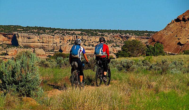 Beautiful morning for a ride. MC |
|
|
|
|
297
|
Forums / Ultra Racing / and they're off...
|
on: May 27, 2009, 07:00:03 AM
|
Scottillion and Chadlicious rolled outta here at 7 sharp, aimed generally in a Grand Loop reverse direction. 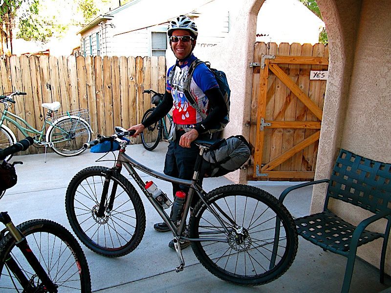 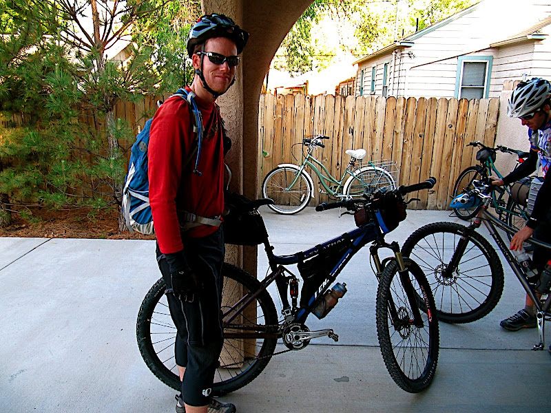 They each did the usual pre-race stuff last night: discovered and fixed (most of the) last minute pending catastrophes on their bikes, scrutinized maps (sometimes even the *right* maps...), went REIing for last minute essentials, ditched important gear, repacked it minutes later, then ditched it again. When they rolled out there was a distinctive creaking sound coming from somewhere behind C-licious. Further investigation revealed the noise was his pack, screaming out in agony at the load. He could NOT physically close the zipper for all of the food that was wedged in there...! 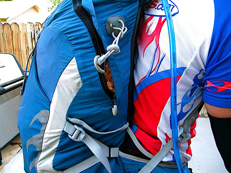 And then they were off... 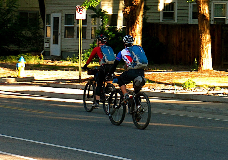 The last several days of rain will, IMO, make for some of the faster conditions seen yet in this event. Record breaking conditions? Yes, for a select few with the right mindset, good prep, and some luck... SPOT points (for Chad) are already showing up on the TF Tracker. None for Scott though... Hmmm... Could this be a deliberate error, intended to keep DH on tenterhooks for the next few days?!?! One way to find out... MC |
|
|
|
|
299
|
Forums / Ultra Racing / Re: Grand Loop 2009
|
on: May 26, 2009, 06:09:40 PM
|
(edited to add clarity...) We've got an alternative singletrack finish to the GL. In exchange for riding this slightly longer singletrack, you can skip the dreaded powerline loop up high on the Tab trail. It is (coming off Little Park Road): Right turn on the Gunnector (Gunny connector), the turn off spot from Little Park Road looks like this: 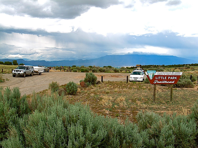 That puts you onto about ~1.5 to maaaaaybe 2 miles of singletrack, bringing you back to Little Park Road. Cross the road, descend for ~6 seconds on the main Tabeguache, then peel off to the right onto Pre-Nup. Fun ST that brings you back into the Tabeguache Trail again in a few short minutes, *skipping* a few short steep climbs but adding a minute or two of swoopy ST to even out the time. From there, descend the Tab another ~30 seconds then make a left onto Pet-e-kes. 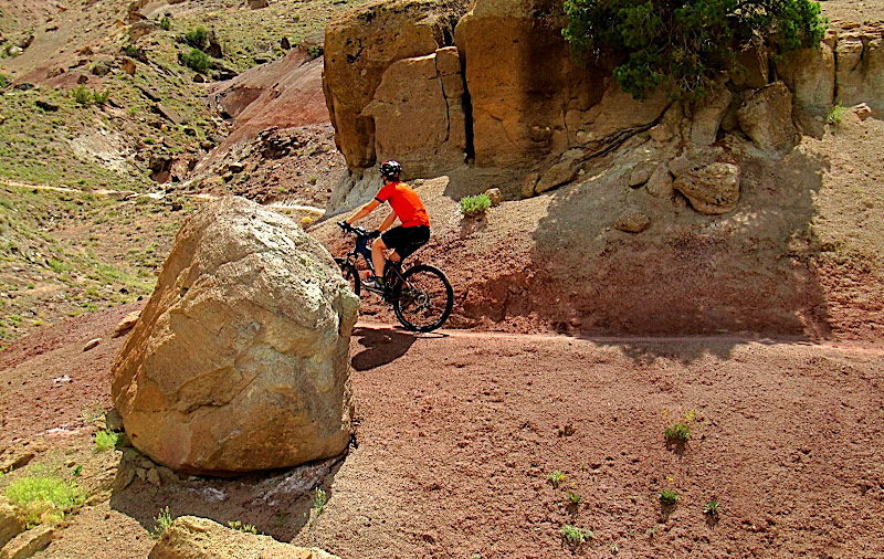  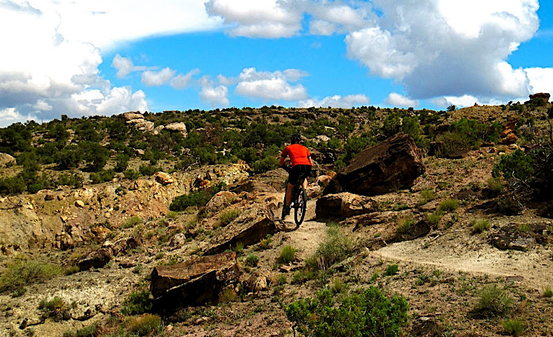 Descend Pet-e-kes (please ignore the actual name and just call it what we do: "Pedophile") to the bottom then take the last ~1/4 mile of Tabeguache to the parking lot whence you started a few days before. Got all that? The point of this option was simply to add fun ST instead of steep crappy jeep road and pavement. The GL already has plenty of the latter two, and not remotely enough of the former. When I tried to explain this to Scott a few days ago he was skeptical of the idea. Then I took he and Chadlicious out on this exact link today and they both emphatically declared it a ' no brainer--fun instead of grinding'. Opt to take these options and you're allowed to skip the 'powerline loop' on the South end of the Tab. Pretty sure everyone knows where that is... One last shot of the two bromancers practicing what could be the most critical GL skill:  GPX file is attached to this post. MC |
|
|
|
|
300
|
Forums / Ultra Racing / Re: Grand Loop 2009
|
on: May 24, 2009, 08:51:32 AM
|
So anyone have a route from Lunch Loop/Tab TrailHead to Koko picked out? I have no real idea, but just wanted to make sure someone did, otherwise I could find out, maybe MikeC could set us non-locals straight??? Ok that's it for now, I think, less than a week to go.....hope the rain lets up...sort of...
Any other plans than meeting at the lunch loop @ 6:PM???
Ok see you soon, Jefe
Barring alien abduction or ice cream overconsumption, I was planning to escort y'all from LL to Loma. After that yer all on yer own... MC |
|
|
|
|
