Show Posts
Pages: [1]
1  Forums / Routes / Re: Kokopelli April 2015 conditions on: May 20, 2015, 08:59:07 PM
Can't see why it shouldn't be pretty decent. Lots of rain lately to firm up the sand, but not deluges of the kind that would make the clay portions pure gumbo.
2  Forums / Bikepacking / Re: Fatbiking the Southern Hallingdalsløypa Ski Route, Norway on: April 12, 2015, 09:23:19 PM
Vinter på fjellet!

Nice pics. How long is this trail? How was your progress compared to skiing with full packs?
3  Forums / Routes / Kokopelli April 2015 conditions on: April 11, 2015, 09:12:29 PM
Rode it solo Loma > Moab over 2 days, unsupported with a Krampus/Knards. Not too windy, perfect temps.

While no rain has fallen in over 3 weeks, the sand is not too bad. Worst are the Cisco miles right after Westwater, and off course the descent down to Dewey. Overall dryness pared with a high volume of motorized use has created an ever-present moondust covering making slickrock climbs harder to stick.

All the usual watering holes are good to go. First up is the Westwater spigot at the ranger station, at ca mile 40. After Dewey there's a little trickle in Waring Canyon where it crosses the road. Cottonwood creek at the HAB mid-ways up the Entrada Bluffs road climb is flowing. The other Cottonwood creek at Hide Out Camp is running strong and the irrigation ditch before Fisher Mesa is full. So are the creeks on the paved descent off Fisher.

Dry roads throughout. Even in the La Sals, where the snow is receeding fast.

Judging from tire tracks in the remote areas, mine was maybe the second complete run of the spring season. Typically the mountains should still be impassable, or at least difficult, due to snow.
4  Forums / Question and Answer / Re: White Rim Parking on: April 09, 2015, 06:15:49 AM
Better do the raindance. It's sandy out there.
5  Forums / Ultra Racing / Re: Dixie 200 '14 on: May 18, 2014, 12:55:10 PM

2012 and 2013 went off without a hitch and the route was identical, same as it is this year. Mike DeBernardo won both years, last year his fastest just over 2 days.
http://trackleaders.com/dixie200 for 2012
http://trackleaders.com/dixie13 for 2013


In 2012 it was not Mike but Fred W who pulled off the fastest time. But in typical fashion Fred did not do the Spot thing.
6  Forums / Ultra Racing / Re: Dixie 200/311 on: June 27, 2012, 06:33:45 PM
Good pics, Mike!

Nice meeting you. Look me up at Moab Cyclery in the fall.
7  Forums / Ultra Racing / Re: Dixie 200/311 on: June 26, 2012, 10:44:54 AM
I'm Jan in above pics. Great ride! Thanks to Dave and Lynda for all their scouting, planning and initiative.

Some might say this is a 'mere 200 miler', but very few of those miles come easy. The elevation gain and loss is massive. Epic hour long hike-a-bikes. Remote and committing terrain where clearly nobody went since the last Dixie event. But also incredible scenery, adequate water and a few burger joints well placed along the course.

I rode it stage style with two nights of solid sleep. First day to Tod's was 12 hours on the trail, day two to Harold's was 15 hrs (crux Paunsaugunt traverse), and the last day 7 hrs. Mentally hardest for me was the long, somewhat tedious stretch of remote cattle roads between Harold's and Panguitch Lake.
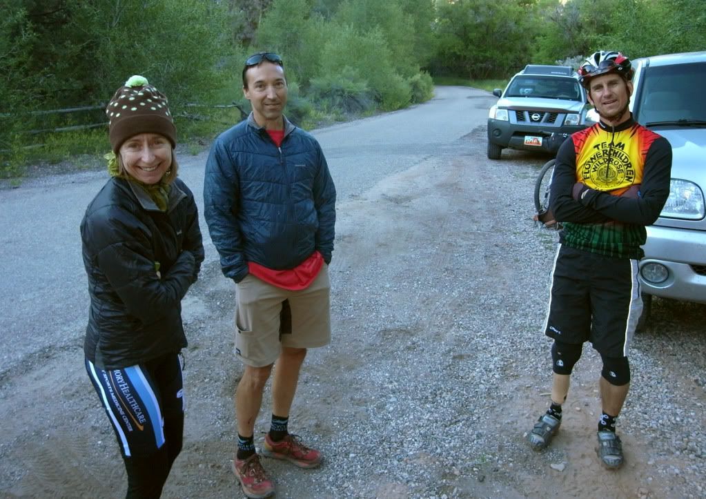

Lynda and Dave with Steve at the start Saturday morning.
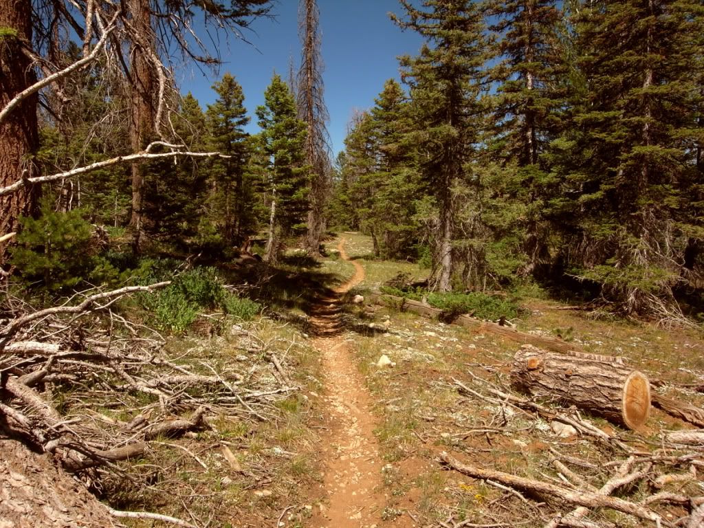

The fun and mostly rideable VRRT. But 18 miles of this does take a long time and the eastern portion was surprisingly rugged and strenuous.
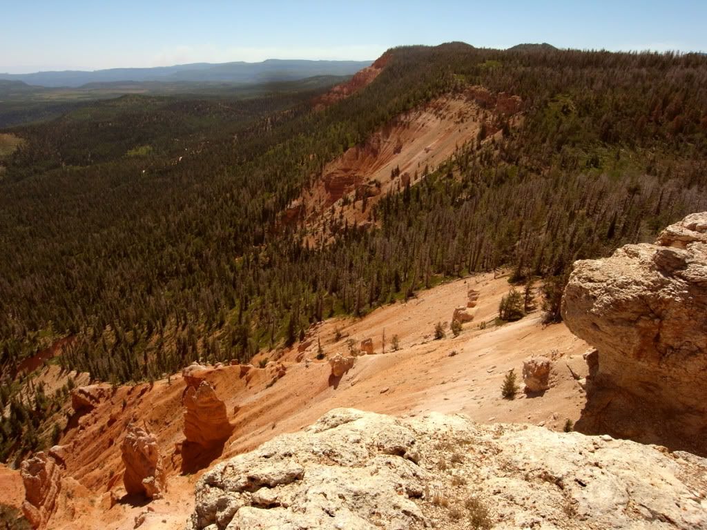

Somewhere on VRRT.
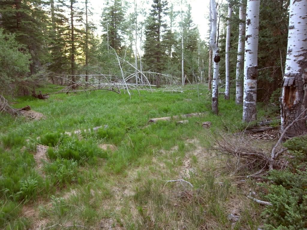

Sections of what the organizers termed 'faint trail' really were nothing more than the red track on the GPS display. One must zoom all the way in and blindly thrash thru the woods. Here the baffling start to the Pole Canyon trail.
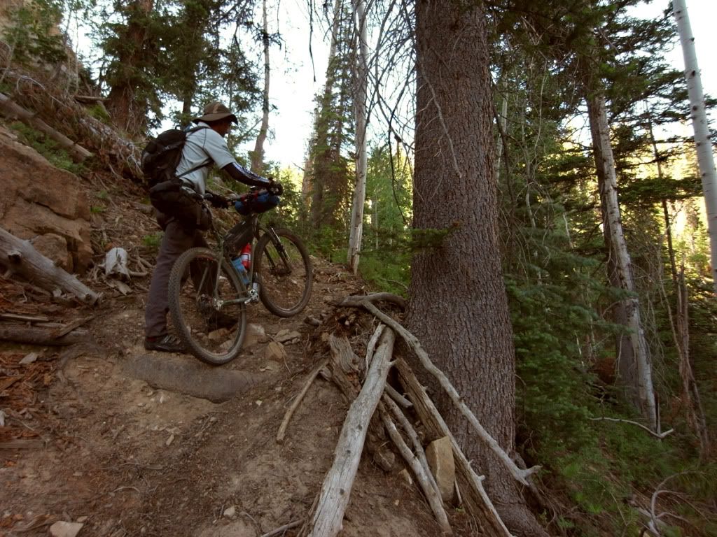

To get up on the testing Paunsaugunt was a long hike-a-bike on a sparsely used trail.
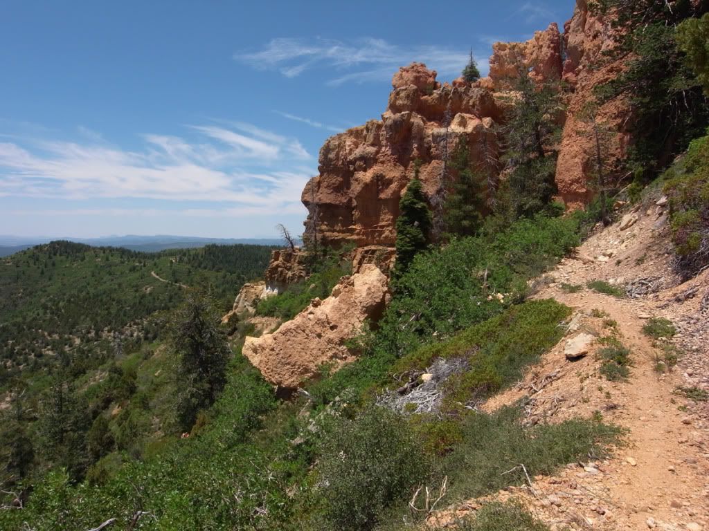

While it looks mellow and actually enjoyable in this pic, the endless Grandview/Crawford traverse was the crux of the Dixie 200.
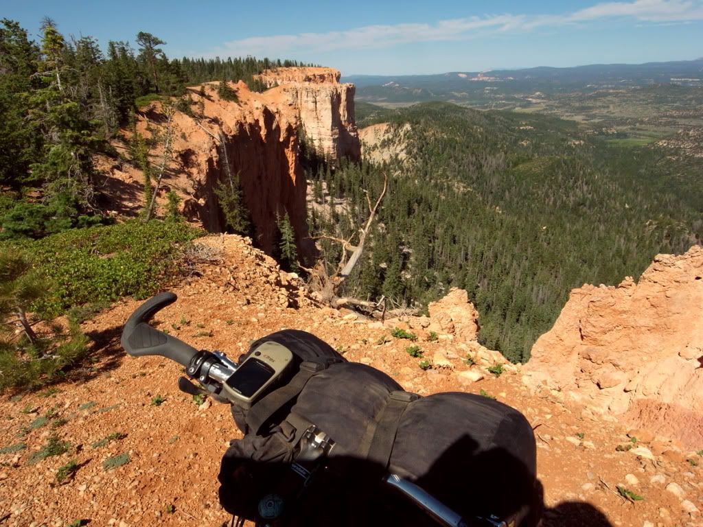

Top of the Paunsaugunt or Pause-and-grunt as Mike called it.
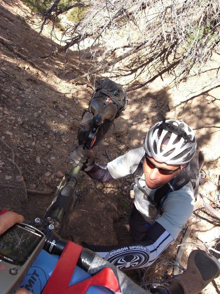

More from the Grandview 'trail'. Jason and his SS.
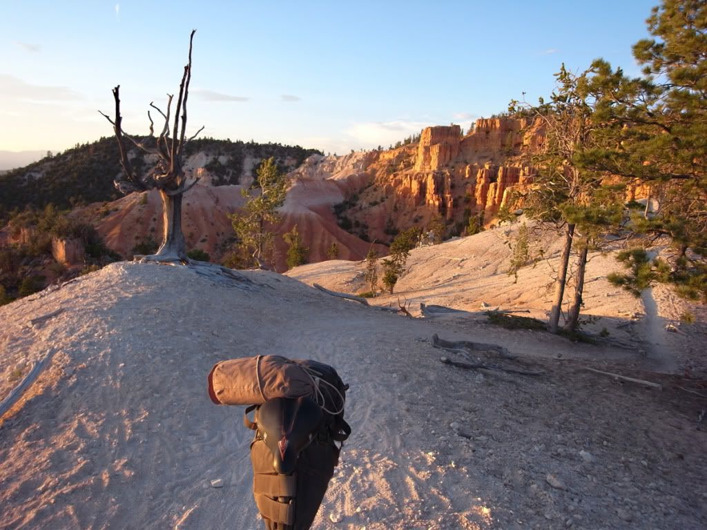

Sunset high on Thunder Mountain, which probably had the best riding on the whole thing.
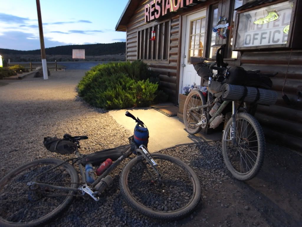

An hour too late to get a sit down meal at Harold's Place.
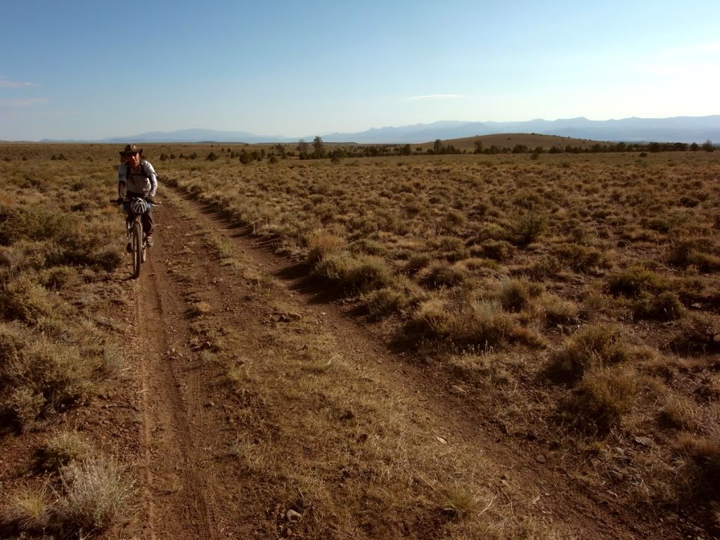

Also lots of sagebrush miles.
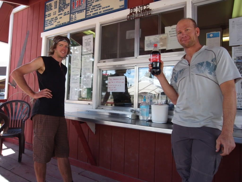

Mike and Jason at Panguitch Lake Burger Barn before the final push over the range and down to the finish line.

8  Forums / Ultra Racing / Re: Dixie 200/311 on: June 21, 2012, 11:12:12 AM
Thanks for the scouting! Water is nice and evenly spaced along the route.

Food re-supply appears to be Tod's at 72 miles and Harold's Restaurant at 155, with nearby grocers in Panguitch being a 12-15 mile detour. And then there's the sketchy options at Panguitch Lake, mile 182, before the last grunt.

Anything to add to this?
9  Forums / Ultra Racing / Re: Dixie 200/311 on: June 19, 2012, 10:06:21 AM
Good news on the water, Dave.

Also looks like a change in weather is up for us. Better or worse?
10  Forums / Ultra Racing / Re: Dixie 200/311 on: June 15, 2012, 07:00:34 AM
Thanks for planning this route! And thanks to Tod's Country Store for staying open till 9:30. I'm gonna need it..

Any guesses as to the longest stretch without surface water?
11  Forums / Ultra Racing / Re: Dixie 200/311 on: June 11, 2012, 07:46:26 PM
I'm in! Although it sounds pretty hard..
12  Forums / Routes / Re: Circumnavigating the La Sal Mountains, UT on: November 14, 2011, 08:28:24 PM
He's 12. Two years ago we got him a MTB and he's getting the hang of it. That was right after a 45 day self supported bike tour from Washington State to Moab, during which he rode his own bike and carried a fair bit of stuff. Here's a pic from that epic:

13  Forums / Routes / Circumnavigating the La Sal Mountains, UT on: November 13, 2011, 08:42:36 PM
4 days in late October. My wife, kid and I. Mostly dirt roads with long stretches of 4x4, and some pavement. Maybe 160 miles, not totally sure, and lots of elevation gain. Real scenic trip.


Pages: [1]