 Topic Name: Baja Divide Bikepacking Route Topic Name: Baja Divide Bikepacking Route
|
on: January 14, 2016, 08:55:43 AM
|
evdog
Location: San Diego
Posts: 385

|
 |
« on: January 14, 2016, 08:55:43 AM » |
|
Came across this recently, looks very promising! http://bajadivide.com/From the site... The Baja Divide is a personal project of Nicholas Carman and Lael Wilcox, who have travelled by bicycle for the past 8 years and have ridden and raced off-pavement routes in many parts of the world. The Baja Divide is a gift to the bikepacking community and draws from experience on several unique routes, including the Holyland Challenge in Israel, the Dragon’s Spine Route in South Africa, the Bike Odyssey in Greece, the Arizona Trail, and of course the Great Divide Mountain Bike Route in the USA. The Baja Divide needs your support! We are seeking corporate and individual sponsors to cover expenses associated with route building, mapping, and publication. A long-term goal is to publish a high quality printed map to enable broad scale planning and to provide a tangible connection with locals. Additionally, we are seeking assistance to create a compelling custom website for the project with an interactive route map, section narratives, a photo gallery, and news, as well as unique branding for the route. In-kind sponsorships are also welcome to offset the expense of worn drivetrains and tires, camping equipment, as well as other equipment used to build the route. Contact Nicholas Carman at bajadivide@gmail.com to provide support of any kind. |
|
|
|
|
 Logged
|
|
|
|
 Topic Name: Baja Divide Bikepacking Route Topic Name: Baja Divide Bikepacking Route
|
Reply #1 on: January 15, 2016, 06:44:58 AM
|
Lentamentalisk
Posts: 248

|
 |
« Reply #1 on: January 15, 2016, 06:44:58 AM » |
|
Looks fun. I've heard wonderful things about Baja CA. What is the deal with "Tubeless tires required" and the 2.3-3" tire recommendation? Do you think there is a lot of riding on the beach or something?
|
|
|
|
|
 Logged
|
|
|
|
 Topic Name: Baja Divide Bikepacking Route Topic Name: Baja Divide Bikepacking Route
|
Reply #2 on: January 15, 2016, 08:08:48 AM
|
evdog
Location: San Diego
Posts: 385

|
 |
« Reply #2 on: January 15, 2016, 08:08:48 AM » |
|
It is all desert, so there would be lots of thorns and other sharp things. Wider tires would probably better to deal with sand, which I am sure there is lots of.
|
|
|
|
|
 Logged
|
|
|
|
 Topic Name: Baja Divide Bikepacking Route Topic Name: Baja Divide Bikepacking Route
|
Reply #3 on: January 16, 2016, 07:29:03 PM
|
Michael_S
Location: Carlsbad Ca.
Posts: 76

|
 |
« Reply #3 on: January 16, 2016, 07:29:03 PM » |
|
Nicholas even said he would prefer Plus size tires on the route. There are a lot of sandy roads and a little plumper tires certainly help.
I'd love to do some of it sometime. It's close by for me so the route is on my to do list for sure.
mike
|
|
|
|
|
 Logged
|
|
|
|
 Topic Name: Baja Divide Bikepacking Route Topic Name: Baja Divide Bikepacking Route
|
Reply #4 on: January 27, 2016, 06:26:13 PM
|
chrisx
Location: Portland
Posts: 407

|
 |
« Reply #4 on: January 27, 2016, 06:26:13 PM » |
|
Tubeless or 4+ flats a day. the + is the tiny punctures you can not find. Hate to use my precious water to find a flat. The WTB 2.55 wearwolf is just not quite wide enough. Sometimes the road is a river of sand. You can buy 29 inch tires in Ensenada and La Paz. The 1,000 miles in betwen? Good Luck with anything other than 26. The San Felipe desert is one of the driest in the world. How mush water do you carry? There is a string of old missions in Baja, (the camino real). Put them on your route. Why? Sometimes the road is closed. If you are going to a mission the road is open. The maps you want are National Geographic Baja California North and South. The geological survey done by the Mexican government has the best maps. They show roads where they really are, and if creeks run all the time or sometimes. The office is in Mexico City. You better speak a lot of Spanish to get them. Start your adventure at Tecate, head for La Paz. You should be able to do less than 20 miles on the narrow MX1. As a minimum, speak enough Spanish to get directions from a bus driver, (bus drivers are notoriously impatient). You will have a lot more fun if you can talk to people. Mexican police really rob people. Tiajuana, Ensenada, San Felipe, Ciudad Constitucion are a couple of hot spots for that. When you learn to deal with the cultural differences, you will find Mexicans to be nice loveable people. http://www.bikepacking.net/forum/bikepacking/discover-an-old-world/msg15354/#msg15354a couple of things to add to your adventureWhale watching. About half way down the peninsula is the town of Guerrero Negro. A large lagoon just to the south of Guerrero Negro is where half the gray whales in the world give birth. February is a good time to stop here. http://www.tripadvisor.com/Travel-g150769-d153904/Baja-California:Mexico:Ojo.De.Liebre.htmlCarnaval. Ensenada and La Paz have a big Mardi Gras celebration. Good luck getting a room. Ensenada 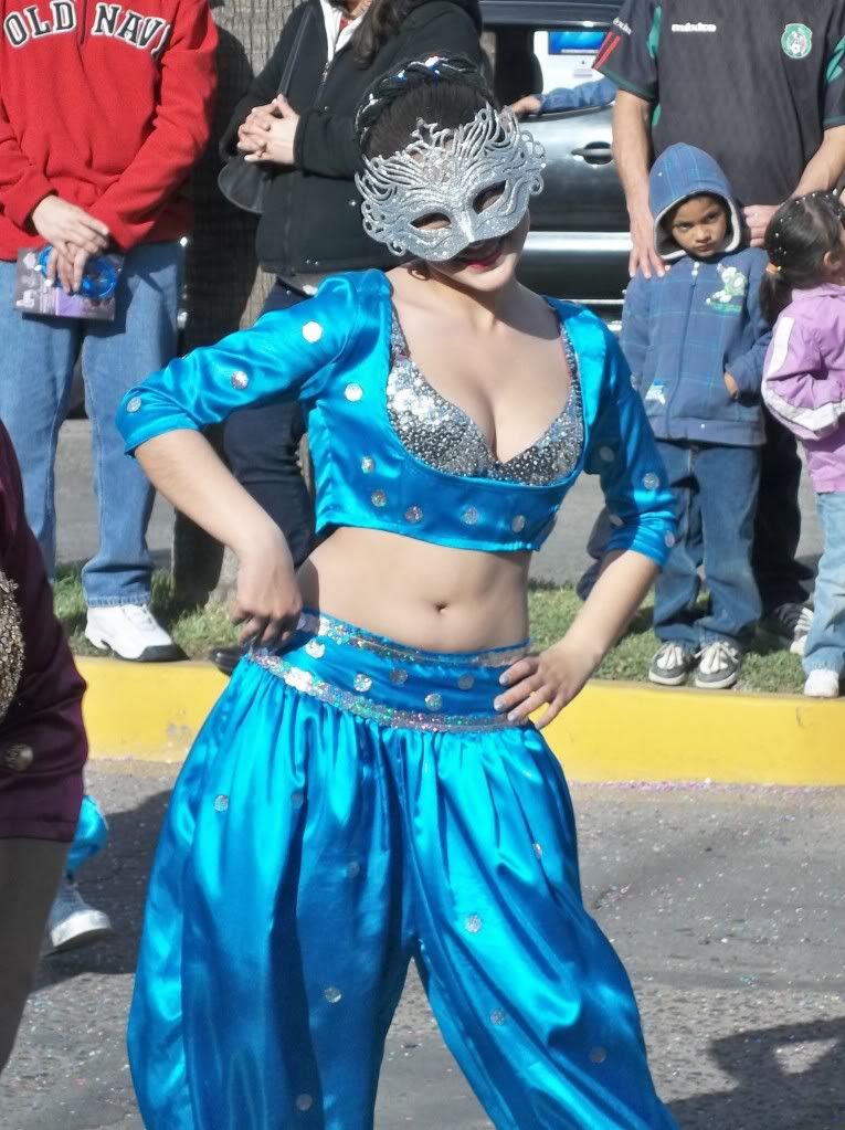 La Paz 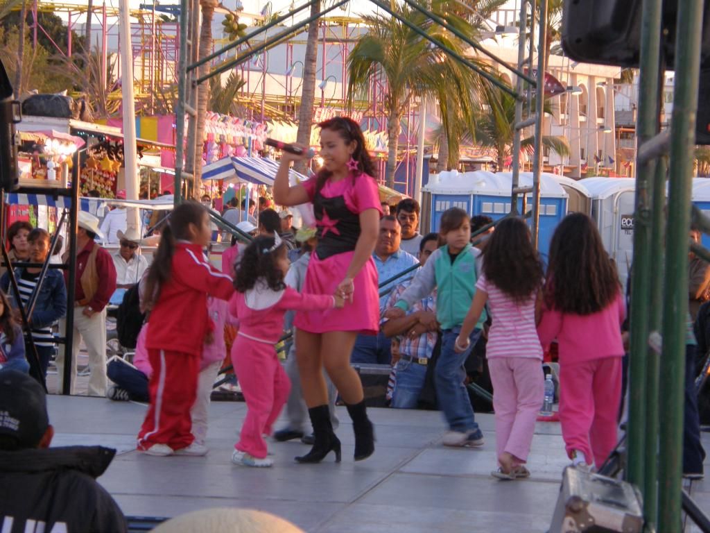   https://www.youtube.com/watch?v=CF2wEpjFifA https://www.youtube.com/watch?v=CF2wEpjFifA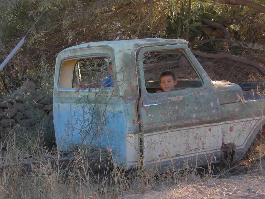 lost, these roads are not on the map 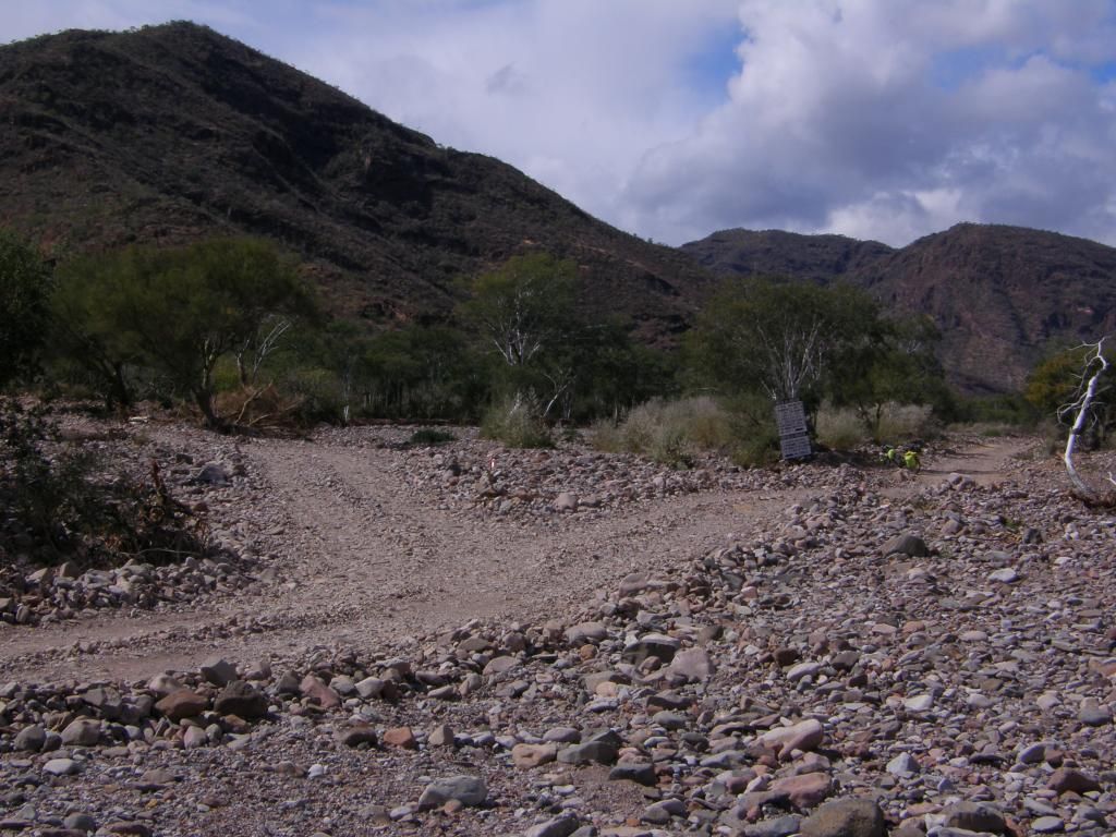 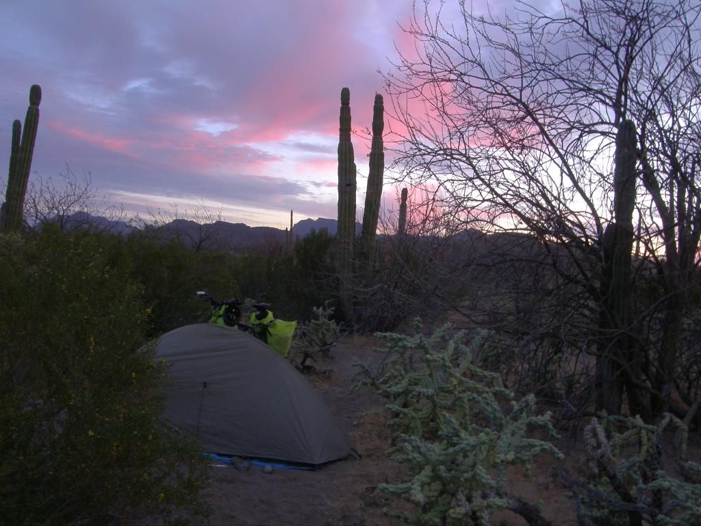 I found a 1,000 year old fire pit and a pile of shells near here. The fire pit is in a museum now 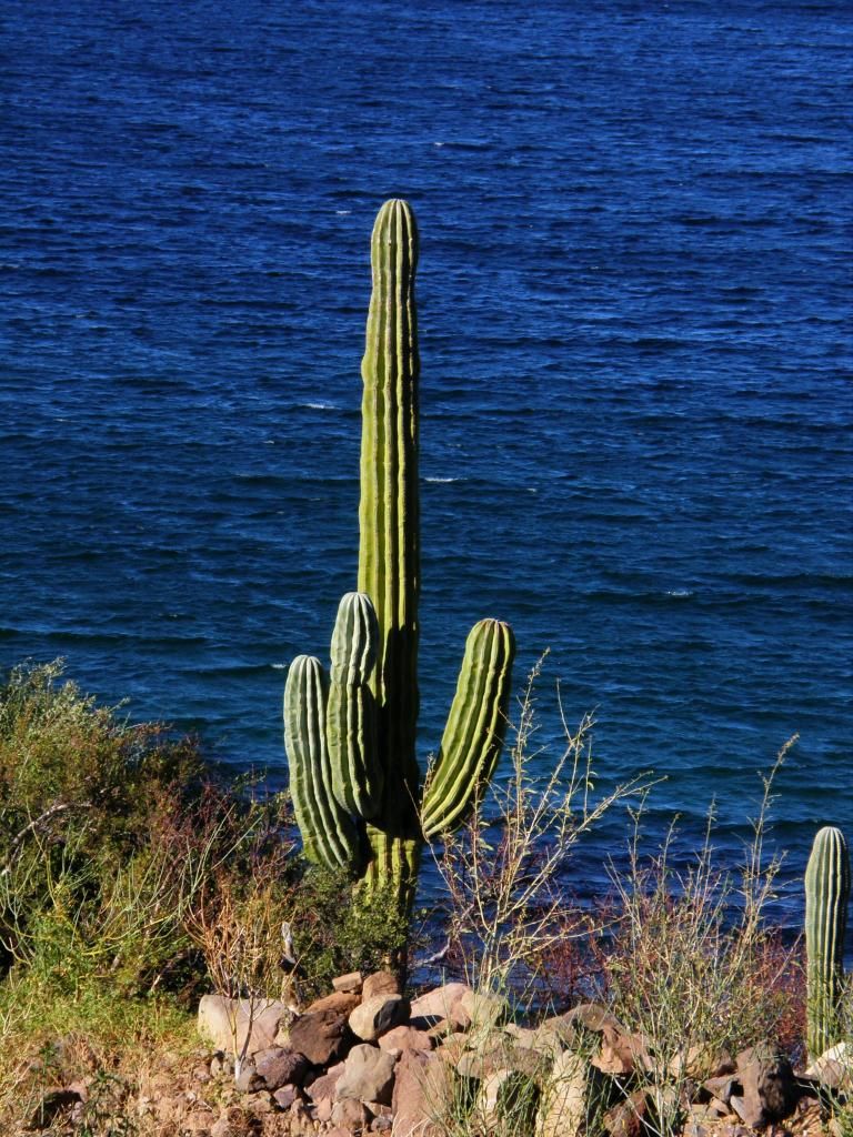 As far as wide tires go, here is the road in a El nino year.  What do you think? on May 6 Ensenada looks like this, when it rains it rains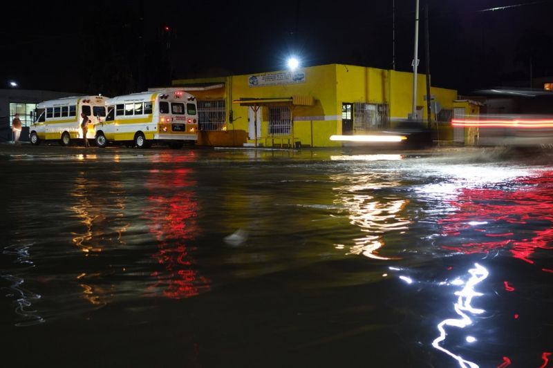 On May 8 the hills above Ensenada look like this 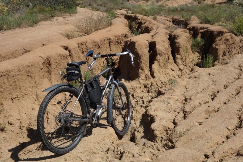 Stan's tire sealant dripping from a tire looks like this 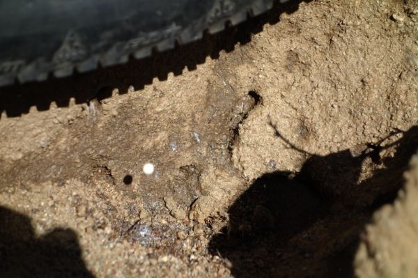 |
|
|
|
« Last Edit: June 17, 2016, 04:38:37 PM by chrisx »
|
 Logged
|
|
|
|
 Topic Name: Baja Divide Bikepacking Route Topic Name: Baja Divide Bikepacking Route
|
Reply #5 on: March 11, 2016, 08:37:25 PM
|
chrisx
Location: Portland
Posts: 407

|
 |
« Reply #5 on: March 11, 2016, 08:37:25 PM » |
|
Link to Mexico's Geological survey maps. http://www.inegi.org.mx/geo/contenidos/mapadigital/You better speak good Spanish to get them. Someone posted this somewhere ¨INEGI Map Download instructions Stay with me in Spanish. If you use Chrome browser then it will automatically translate, I will show the English words in quotes. Go to inegi.org.mx Mouse on Geografia “Geography” Mouse on Temas “Themes” Mouse on Topografia “Topography” Click on Cartas topograficas “Topographic maps” In the clave “search” box enter your map number like H11B36 Click Consuiltar “SEARCH” Bottom of the new page are your map choices List will show links for PDFs, Geo PDFs, GIFs and TIFs. The Geo PDFs are layered and different features can be turned on and off when you view them in Acrobat. Older PDFs are raster files, newer ones are vector. The vector files are infinitely scalable, the raster ones are not and the image quality degrades the larger they are viewed. Click on the PDF symbol for the newest version (2003) Click on Discarga “Discharge” Then click on the PDF and let it load When the file is done loading use the usual PDF feature to save the file to the location on your computer where you like it. If you want a paper map then copy the PDF to a CD and take the CD to the print shop and have them print it in color on “D” size paper. TIP: Get up to speed on making notes and lines on your PDF files. Then you can show your buddies what and where things are on the topo.¨ Somebody made chart to help find the maps we need, so I copied it. 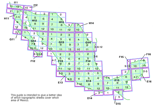 |
|
|
|
« Last Edit: April 22, 2016, 10:09:35 PM by chrisx »
|
 Logged
|
|
|
|
 Topic Name: Baja Divide Bikepacking Route Topic Name: Baja Divide Bikepacking Route
|
Reply #6 on: March 11, 2016, 08:42:00 PM
|
chrisx
Location: Portland
Posts: 407

|
 |
« Reply #6 on: March 11, 2016, 08:42:00 PM » |
|
It has all been done before.  She pedaled the gravel roads of Baja back in the 80s, and printed turn by turn instructions. Amazon Best Sellers Rank: #4,126,220 in Books |
|
|
|
« Last Edit: March 11, 2016, 08:45:37 PM by chrisx »
|
 Logged
|
|
|
|
 Topic Name: Baja Divide Bikepacking Route Topic Name: Baja Divide Bikepacking Route
|
Reply #7 on: April 22, 2016, 03:21:21 PM
|
KungFuBykRide
Location: Bend, Oregon
Posts: 4


|
 |
« Reply #7 on: April 22, 2016, 03:21:21 PM » |
|
I bike toured from San Diego to La Paz (as part of a bigger bike tour across Mexico) and spent about 40% of my time on "dirt" roads on a Surly Troll with 2.25" Marathon Mondials... think lots of washboarded roads, a fair amount of hike-a-bike due to huge amounts of sand, and sandy roads torn up by motorbikes. Granted, at this time I had a fully loaded set up (which I pared down quite a bit later), but I sure would have loved fatter tires. That said, bike shops and quality bike parts are sparse. My touring partner cracked his rim and ended up having to import a new one from the U.S. and rebuild it because there wasn't anything available locally that could withstand the bumpy roads. See http://kungfubykride.blogspot.com/2013/04/day-13-gonzaga-bay-to-cocos-corner.html for pictures of some of the dirt roads we found going from Gonzaga Bay to Coco's corner. |
|
|
|
|
 Logged
|
|
|
|
 Topic Name: Baja Divide Bikepacking Route Topic Name: Baja Divide Bikepacking Route
|
Reply #8 on: May 26, 2016, 10:58:49 AM
|
vikb
Location: Victoria, BC...
Posts: 163


|
 |
« Reply #8 on: May 26, 2016, 10:58:49 AM » |
|
Baja is amazing. Over the years I've spent many months:
- bicycle touring [pavement]
- motorcycle touring [pavement and dirt]
- sea kayaking
- beach camping
- fatbiking
- surfing
- kitesurfing
I've never had a bad time in the Baja. The place is filled some nice people, tasty food, ice cold beers and stunning landscapes.
I can't say anything specific about the Baja Divide route, but I'm sure to ride it sooner or later.
|
|
|
|
|
 Logged
|
|
|
|
 Topic Name: Baja Divide Bikepacking Route Topic Name: Baja Divide Bikepacking Route
|
Reply #9 on: November 09, 2016, 08:17:41 PM
|
chrisx
Location: Portland
Posts: 407

|
 |
« Reply #9 on: November 09, 2016, 08:17:41 PM » |
|
The first thing you need for a trip down the Baja is some Pesos.
If buying pesos, you get a better rate on the gringo side of the border.
If selling pesos for dollars you get a few cents more on the Mexican side of the border.
Tecate is not the best place to change money. In San Ysidro you get a few more pesos for the dollar because of the competition. I avoid the places right next to the border. Hundreds of yards north of the border near Churches Chicken is a little better. Costco gives a peso or so more than the casa de cambios, but you need a Costco card. If you plan to change a lot of money, change smaller amounts at 3 or 4 differant places. The limit is $900 per transaction. I would suggest changing less than that in any one place at one time.
A Mexican atm will give the best rate. The risk of failure or card skimming does exist. If you plan to use atm machines,
1. Tell your bank ahead of time.
2. Have a few thousand pesos as back up.
Do not keep all your money in one place!
San Ysidro, perhaps the busiest border crossing in the world, is the last stop on the San Diego blue line trolley.
|
|
|
|
« Last Edit: November 09, 2016, 08:29:10 PM by chrisx »
|
 Logged
|
|
|
|
 Topic Name: Baja Divide Bikepacking Route Topic Name: Baja Divide Bikepacking Route
|
Reply #10 on: November 12, 2016, 07:18:50 PM
|
chrisx
Location: Portland
Posts: 407

|
 |
« Reply #10 on: November 12, 2016, 07:18:50 PM » |
|
You need to stop at the migration office. Most of you will never be asked to see your migration documents. A few will be asked to see them. Do not take a chance, stop at the migration office. Sometimes you have to ask for a receipt. A few people will be asked to pay again if they do not have the receipt. You pay at a separate window from the one where you fill out the papers. If you are using a Mexican airport, your documents need to be in order. Including your offical receipt.http://www.gob.mx/inm |
|
|
|
« Last Edit: November 14, 2016, 11:01:48 AM by chrisx »
|
 Logged
|
|
|
|
 Topic Name: Baja Divide Bikepacking Route Topic Name: Baja Divide Bikepacking Route
|
Reply #11 on: November 14, 2016, 07:47:07 AM
|
chrisx
Location: Portland
Posts: 407

|
 |
« Reply #11 on: November 14, 2016, 07:47:07 AM » |
|
At times it is hard to find water in the desert. Many a time you see a creek bed, walk over to find dust and rocks, no water. Try this; walk up and down the creek bed. Many a creek runs underground and is on the surface only here and there. If there are trees growing and or green vegetation, there is a good chance there is water down there somewhere. Barrel cactus. I dont know, but I have been told: the barrel cactus will keep you alive. Cut a chunk out of it, and eat it. It should have enough water in it to keep you alive. They say it will taste really bad. This is not a way to get water, it is a way not to die. https://www.youtube.com/watch?v=RxAQwMNXlic |
|
|
|
« Last Edit: November 14, 2016, 10:59:34 AM by chrisx »
|
 Logged
|
|
|
|
 Topic Name: Baja Divide Bikepacking Route Topic Name: Baja Divide Bikepacking Route
|
Reply #12 on: November 15, 2016, 07:14:19 PM
|
chrisx
Location: Portland
Posts: 407

|
 |
« Reply #12 on: November 15, 2016, 07:14:19 PM » |
|
Alcohol stoves seem to be a favorite among bike packers. Ultra Magnus posted a link to one that works as good as any outdoors. What is different in Baja? The alcohol you use. Alcohol desnaturalizado is sold in pharmacies and grocery stores. Ethyl alcohol is what it is. Most of the time it is 70%. How do you make it work in a stove made for 95% methanol ( heat, paint thinner, ) alcohol? Poke more, or bigger air holes in the side of the stove. The stove in the link seems to have one hole in the side. Mine has a hole at the base of each groove, and is just a little taller than the one in the linked video. Rocks are plentiful and make a good pot stand. The alcohol you buy at Soriana or Calimax has a second use. You can use it to clean your hands before you eat, or clean any part of your body that makes contact with the bicycle. Good way to prevent saddle sores. (do not use methol alcohol for this). There is not always enough water to wash up in the desert. Personally, I cook on a fire. Mexican people build small fires. Why? They do not want to start a wildfire, or draw attention to themselves. This is a desert, remember. A cooking fire uses sticks no thicker than a finger. I cook on red coals not a yellow fire. I use my alcohol stove in hotel rooms. Unlike paint thinner, medical alcohol burns clean and can be used indoors. The sell ethyl alcohol at Wallgreens if you want to dial your stove in before you depart. |
|
|
|
« Last Edit: November 15, 2016, 07:24:20 PM by chrisx »
|
 Logged
|
|
|
|
 Topic Name: Baja Divide Bikepacking Route Topic Name: Baja Divide Bikepacking Route
|
Reply #13 on: November 24, 2016, 07:18:16 PM
|
chrisx
Location: Portland
Posts: 407

|
 |
« Reply #13 on: November 24, 2016, 07:18:16 PM » |
|
The (La linea), to get across the border to the states is a nightmare! Sometimes the line is three hours long. That was before they started to remodel the building. A project which is estimated to take 10 months from August 2016.
There is a temporary border crossing 10 yards east of the Rio Tijuana. Before lunch on a weekday the line here is not so bad. I often use the Otay Mesa port of entry. The pedesterian line here is short on a weekday. (I do not pedal through the tj slums after dark.) These two pedesterian lines are more heavily used on weekends, by day trippers.
Most people wil fly or bus back north. (Do not arive at the tj central bus terminal after dark.) Few will brave the wind, and pedal north bound across the Baja. Volaris, the discount Mexican airline has a direct flight from La Paz to Tijuana. Alaska air has direct flights from San Jose Del Cabo to San Diego and other citys up the west coast.
I paid $68 and $35 for a bicycle on Volaris. $102.99 from La Paz to Tijuana. At the counter in the airport it is $100 for a bike or an oversized bag.
Will at least one person use Baja Ferries to connect with the Tren Chepe? Copper Canyon is waiting to be explored. Who wants to pedal north and turn this into a loop?
|
|
|
|
« Last Edit: November 24, 2016, 07:37:02 PM by chrisx »
|
 Logged
|
|
|
|
 Topic Name: Baja Divide Bikepacking Route Topic Name: Baja Divide Bikepacking Route
|
Reply #14 on: November 24, 2016, 08:06:54 PM
|
chrisx
Location: Portland
Posts: 407

|
 |
« Reply #14 on: November 24, 2016, 08:06:54 PM » |
|
Your last chane to spend gringo dollars is in Tecate. There is a Calimax and a Soriana in Tecate. They both take dollars, And give a better rate than the casa de cambio. Calimax and Soriana are major supermarkets. They are cheaper than the San Diego stores. I like to say, the price is the same, but you get a kilo instead of a pound. Stock up, you will be shopping at small ma and pa markets for a long time, and paying with pesos. They will take dollars if you have no pesos. Do not expect a good exchange rate. The old women at the market will not get a good rate when she goes out of her way to change your dollars for pesos either.
Gas canisters are available at Walmart in Ensenada and La Paz. Not always, just sometimes. They cost a few dollars more. As do most imported things. Pringles are 99 cents at the 99cent store in San Diego. They are $2.75 at the Soriana in tj. Shop local, skip the imports.
If you need a stove, get a stove that burns unleaded. Green Colemen canisters are sold here and there in Mexico. Kovea LPG Adaptor, Kovea makes an adaptor so you can use green colemen propane canisters on your snow peak stove. They do not work on all stoves, do your homework before you buy.
|
|
|
|
|
 Logged
|
|
|
|
 Topic Name: Baja Divide Bikepacking Route Topic Name: Baja Divide Bikepacking Route
|
Reply #15 on: December 07, 2016, 10:45:13 PM
|
chrisx
Location: Portland
Posts: 407

|
 |
« Reply #15 on: December 07, 2016, 10:45:13 PM » |
|
I knew I forgot something. No big deal, they sell it in Mexico, Right? Wrong. Who needs it anyway? It is 65 with a couple of clouds in San Diego. Before you get to San Ignacio you will wish you had some. You can not buy any, hard luck. The Latitude of LA PAZ BAJA CALIFORNIA is 24.1467. https://www.youtube.com/watch?v=V7zK2qaP4iE |
|
|
|
|
 Logged
|
|
|
|
 Topic Name: Baja Divide Bikepacking Route Topic Name: Baja Divide Bikepacking Route
|
Reply #16 on: December 30, 2016, 08:58:08 PM
|
jaymtb
Location: Central CO
Posts: 29

|
 |
« Reply #16 on: December 30, 2016, 08:58:08 PM » |
|
Baja Notes: A friend interested in the Baja Divide asked me to jot down some notes on Baja. This comes from many years in Baja and over 5000 nautical miles of traveling by sea kayak there, as well as a good deal of mountain biking. As mentioned elsewhere, a bit of Spanish goes a long way. Mexican culture is a bit more formal than in the U.S. Upon encountering someone, it is polite to exchange greetings, ask about where they live, their families etc. After that exchange, asking directions, looking for water or other needs will be better received. I was just in Baja this fall before and after the elections . There was noticeable apprehension in people, many of whom have reservations about the future relations with Mexico, and indeed the humanity of Americans. Those who have known me for years and especially new friends warmed considerably when I expressed the same sense of concern and distaste for the new US regime that virtually all Mexicans voiced. YMMV. Travel by bike encourages a close and warm connection with people of different cultures. When people help you, Thank them, and compensate them if you can. A fishing or ranching life is tough, and fuel is expensive by local standards. A useful Spanish verb is compartir -to share Compartimos = we share I have known Jose and Ana and their family living on a small rancho at Misión San Borja for many years. They have built camping palapas to shelter guests who come to see the Misión. Jose and his sons have done a lot of work restoring the Misión, without much help. They accept donations from people who stay at their rancho and the Misión. The water from springs here is considered very good by locals. Elsewhere, water often is transported in at significant expense by locals. It may be brackish in coastal wells. Many towns have agua purificado available from a local reverse- osmosis system. A few desalinization plants may be in use e.g. San Evaristo. Some tiendas have filtered water in 20 liter jugs that can be exchanged for empties, or dumped into your bags. There is no need to buy water in throwaway plastic bottles. Recycling is limited, to mostly non-existent in most places. It is good to carry some means of treating iffy water, with a filter and/or halogens like Clorox. Many arroyos in the sierra have some free water, allowing wild camping when needed. However, in Baja, where there is water there are usually cows, goats or other stock. When camping it is best to ask first, if some one is around. Se puede acampar aqui? Stick with “Leave No Trace” despite what you may see. Supplies: Some very small places have a store or tienda, that may not be well marked, maybe only a Tecate sign in front. Ask around. A large number of riders passing through could strain the resupply of small stores away from main roads. Most stores have Mexican limes, which add zest no nearly everything. If you find some jicama (sometimes referred to as Mexican potato) , peel, slice, and squeeze lime juice over it for a quick appetizer. In many places you can buy homemade tortillas, if you inquire a bit. However, the store-bought ones keep better for a long haul. Marine Life, Good: Fishermen may offer some catch to you. Always try to pay them something, as fuel is high and the fishery is under pressure. “Gracias, por su familia” You may also want to try fishing from shore or rocky points when beach camping. A light packable spin rod with braid line like Spectra will allow plenty of line on a small spool. Bait or Rapala type lures work pretty well. Mexican fishermen are good with simple hand lines on winding boards- called tablas. No license is required unless fishing from a boat or diving. A thin, sharp knife is handy for filleting fish. Marine Life, Bad: If fishing is slow you may catch a bulls-eye puffer that may be taken for “some kind of bass” if you are a hungry biker. It is HIGHLY TOXIC, USUALLY FATAL . The I.D. is to look at the fish from the dorsal/top and pick out the concentric darker circles- hence bullseye. Know what you are eating. I've seen pelicans snag this fish and spit it right out- pretty smart. Bulls-eye Puffer Links http://www.seacortez.com/fish/tetraodontidae.htmlhttp://www.mexfish.com/fish/beyepuf/beyepuf.htmRays: Most sandy beaches have stingrays, usually hidden under sand. When entering water be sure to shuffle/drag your feet to roust rays ahead of you. Even rocky bottoms often have rays, which can be hard to see. Red Tides: From time to time organisms can bloom that look like a red/maroon cloud in the water in places- but may not be generally noticeable. Red tides can leave toxins in shellfish. Signs on a beach may just be a few dead oyster catchers, gulls, or other shellfish eating birds. Route conditions can change with hurricanes. They can also worsen with Baja Off-road races, which can really trash an OK road with 6” washboards, or worse, much to the consternation of locals who must use the roads with old beatup vehicles to transport daily necessities. The dust and fast traffic associated with a race are to be avoided. Ask locals if you see markers or arrows posted along a route. Rain is not common in Baja California, but it can turn tidal flats or areas with clay into bogs. A Baja volunteer weather effort is managed by Geary at: http://sonrisanet.org/ His forecasts have primarily been wind oriented for sailboaters, but his report covers precipitation in the bigger picture. His blog is at: https://www.wunderground.com/blog/Geary/show.htmlA few quick notes here. Baja California is a wondrous place. The people are generous and very kind to travelers. We want to make it just as welcome for those who follow. Happy Trails, Jay |
|
|
|
« Last Edit: December 30, 2016, 09:30:29 PM by jaymtb »
|
 Logged
|
|
|
|
 Topic Name: Baja Divide Bikepacking Route Topic Name: Baja Divide Bikepacking Route
|
Reply #17 on: February 08, 2017, 11:43:44 PM
|
chrisx
Location: Portland
Posts: 407

|
 |
« Reply #17 on: February 08, 2017, 11:43:44 PM » |
|
Y cruzare el desierto 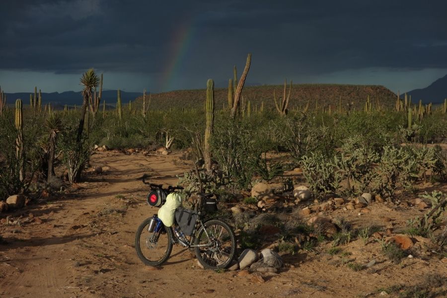 Vere estrellas sobre mi 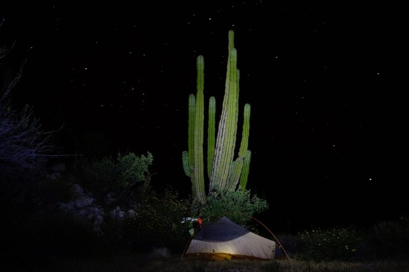 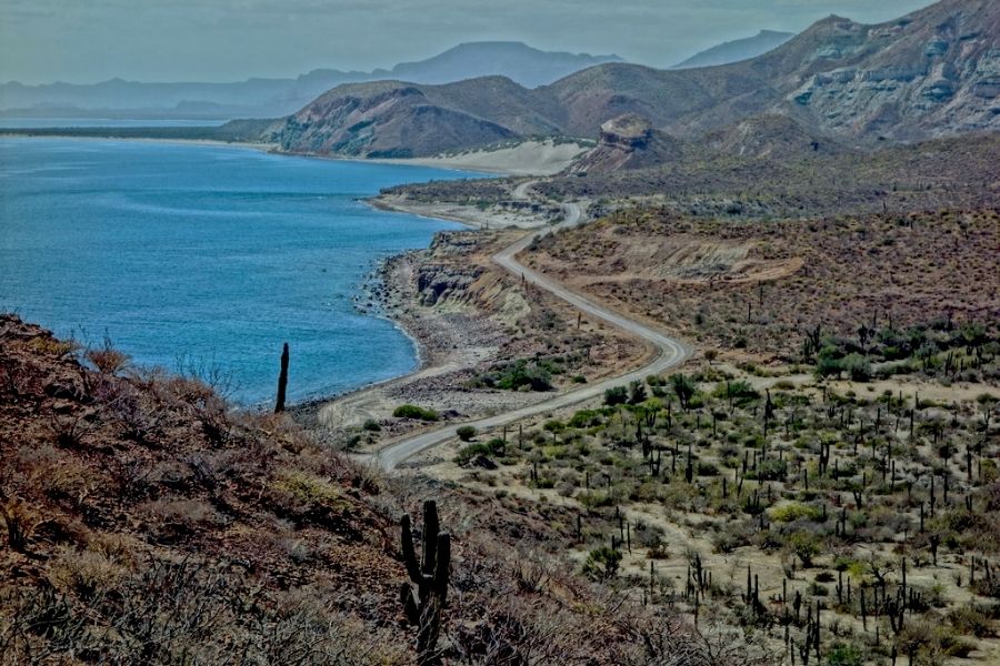 Y asi, mas dias de color 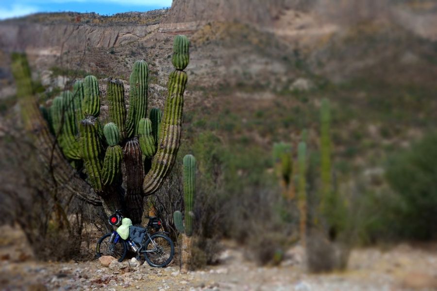 I was able to get a little look at a big route times have changed in the old days, I took a guess and went that way, and often had to turn around nowadays they post maps on the web, and take the guesswork out of it |
|
|
|
« Last Edit: April 01, 2017, 06:13:31 PM by chrisx »
|
 Logged
|
|
|
|
 Topic Name: Baja Divide Bikepacking Route Topic Name: Baja Divide Bikepacking Route
|
Reply #18 on: February 14, 2017, 12:57:44 PM
|
chrisx
Location: Portland
Posts: 407

|
 |
« Reply #18 on: February 14, 2017, 12:57:44 PM » |
|
|
|
|
|
« Last Edit: February 21, 2017, 08:40:42 PM by chrisx »
|
 Logged
|
|
|
|
 Topic Name: Baja Divide Bikepacking Route Topic Name: Baja Divide Bikepacking Route
|
Reply #19 on: April 01, 2017, 07:09:23 PM
|
chrisx
Location: Portland
Posts: 407

|
 |
« Reply #19 on: April 01, 2017, 07:09:23 PM » |
|
Feb 26 Ensenada 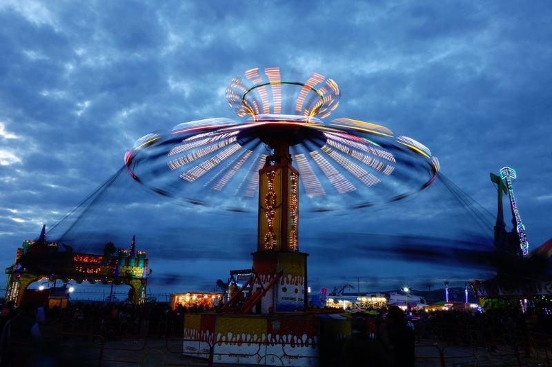 feb 27 Ensenada 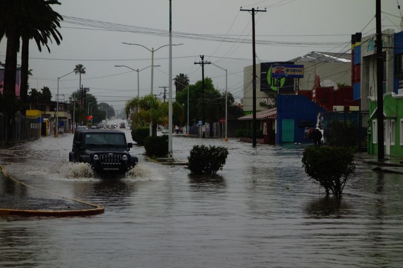 Anyone know how to read pictoglyphs? 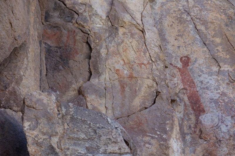 There are plenty of them, know and unknown. The Cochimí Indians have a story of dos soles. Seems that one morning 2 suns rose in the sky. 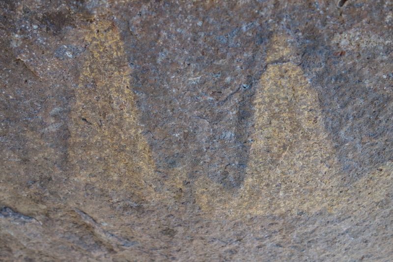 The Baja bike route passes about 100 yards from an unknown or unpublished rock art sight, or perhaps hundreds of such sites. 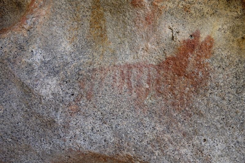 Some sites are well known and 200 yards from the road 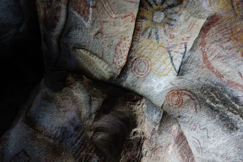 Baja is not the easiest place to ride a bike. What do you do if you need 18 liters of water? What do you do if it is too hard to push your bike through soft sand while it is over 100 degrees (second week in March)? (18 Liters = 39.68 Pounds). Make camp between two pointed hills and walk the last couple of miles. 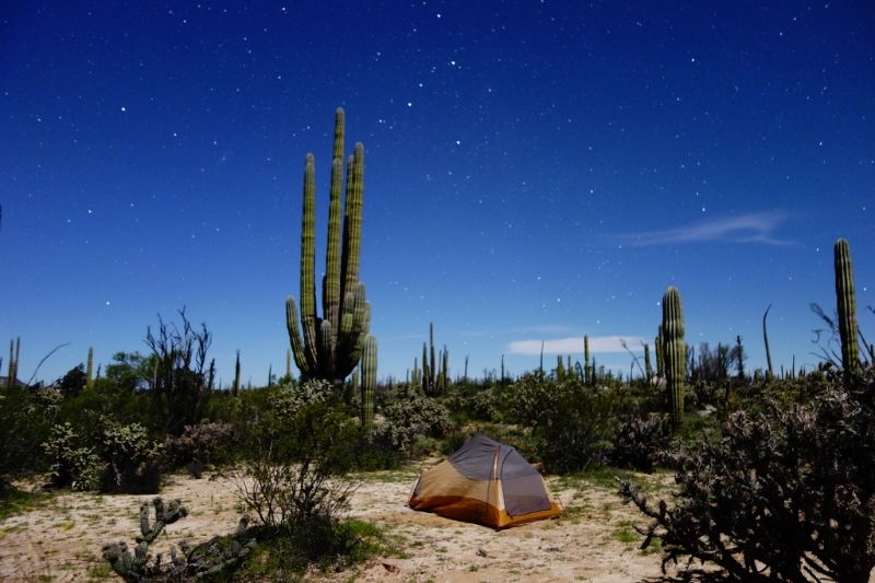 Wondering in a daze I could not find the rock art. I drank 16 liters of water in 40 hours. I searched all afternoon. Exhausted, I decided to take a nice nap on a flat rock. When I woke from my nap, there were rock paintings above me, and beside me. According to the University of San Diego, the oldest archaeological site in the Americas is on Isla Cedros. 14,000 years ago people lived on a large island, 100 or so kilometers west of Guerrero Negro. My first friend in Mexico was a girl from Isla Cedros. Stay off of mex 1 after dark 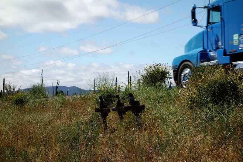 I pushed the last 15 miles up to Ensenada after dark lasat night, and nearly got hit by 3 trucks and a bus |
|
|
|
« Last Edit: April 10, 2017, 08:54:35 PM by chrisx »
|
 Logged
|
|
|
|
|
|