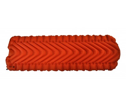
The Klymit Insulated Static V Sleeping Pad
This pad has a unique v-chamber design which significantly slows air movement as well as reduces the loss of heat. The v-chamber design utilizes body mapping technology for optimal comfort. Body mapping consists of identifying the critical areas with which your body touches the pad and then customizing the pad with extra firmness in those areas of contact in order to prevent sagging or discomfort. The Insulated Static V pad utilizes Primaloft synthetic insulation to keep the user warm and cozy on cold nights. Klymit focuses on creating the most lightweight pads possible. The Klymit Insulated Static V is no exception, being one of the lightest over sized pads in the world. Inflating the pad will be very quick since the v-chamber design allows the pad to inflate with a minimal amount of air. It will take approximately 10-15 breaths to blow up the pad. The pad also comes with a hand pump which will allow the user to add extra firmness to the pad if desired. The Klymit Insulated Static V also utilizes a push valve system which easily and quickly inflates and deflates the pad. Despite the Insulated Static V being an air filled pad, it is quite durable and unlikely to pop. However, the manufacture does offer a limited lifetime warranty.
Specifications:
Weight: 25 oz, 709 g
Insulation: Primaloft
Dimensions: 72″ x 23″ x 2.5″,183 cm x 59 cm x 6.5 cm
R-Value: *4.4
Packed Size: 5″ x 9″, 12.7 cm x 22.8 cm
Includes: Stuff Sack, Patch Kit
Warranty: Limited Lifetime (Manufacturer)
Product Website: http://excursionoutfitters.com/shop/klymit-insulated-static-v-sleeping-pad/
Please rate this product: (no login required)


 (25 votes, average: 3.80 out of 5)
 Loading ...
September 25th, 2013 in
Sleeping Pads |
2 Comments

The Garmin Foot Pod GPS Component
The Garmin Foot Pod is compatible with most Garmin GPS Watch Systems. The Foot Pod is designed to give the biker an accurate biking cadence which is a calculation of foot pedal spins per minute. The Foot Pod is lightweight and small so that it can be attached on the tongue or lace of the user’s shoe. The Pod’s battery will last approximately 1 year. In contrast to a simple pedometer, the Foot Pod features an MEMS inertial-sensor which is able to analyze your movements with a confidence of 98%. During the winter months, while training indoors, you will be able to pair your Garmin GPS watch with the foot pod in order to get accurate readings.
Compatible Devices Include:
•ANT+ Adapter for Iphone
•Garmin Fenix Watch
•Garmin Forerunner 50 Watch
•Garmin Forerunner 210 Watch
•Garmin Forerunner 305 Watch
•Garmin Forerunner 310XT Watch
•Garmin Forerunner 405 Watch
•Garmin Forerunner 405CX Watch
•Garmin Forerunner 410 Watch
•Garmin Forerunner 610 Watch
•Garmin Forerunner 910XT Watch
•Garmin FR60 Watch
•Garmin FR70 Watch
•Garmin Fit
Product Website: http://excursionoutfitters.com/shop/garmin-foot-pod/
Please rate this product: (no login required)
(7 votes, average: 3.57 out of 5)
Loading ...
September 25th, 2013 in
GPS / Navigation |
No Comments
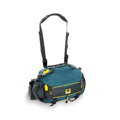
The Mountainsmith Tour TLS Pack:
This pack comes is designed to fit either over the shoulder or around the waist. It is recommended that the pack be strapped around the waist during labor intensive biking climbs. The pack has plenty of room for water, snacks, and bike tools. Like most of Mountainsmith’s packs, the Tour TLS comes equipped with the Lumbar Control Point Pad, a patented technology by Mountainsmith which adds extra comfort to the lower back and evenly distributes the weight to the waist, alleviating pressure in the lower back or shoulders. The pack also tuck away waist belt which is designed to fit around the unique profile of your waist.
Features:
- Strap that can be easily removed.
- Padded sleeve on the interior for your Ipad or Ipod.
- Diamond airmesh foam with DWR anti-sweat finish to prevent excessive sweating and heat.
- Lumbar Control Point™ pad to properly alleviate pressure from waist and shoulders.
- Tuck-away waistbelt if shoulder strap is preferred.
- Low profile side bottle pockets can hold water bottles up to 22 ounces.
- Inner Sanctum zippered compartment to hold your biking essentials.
Details:
- YKK® Zippers
- Bar tack reinforcements
- 3M™ Reflective Bungee
Materials:
- 450d ReForge™ PET RipStop body fabric (100% Recycled)
- 420d Duramax™ Nylon
- 210d RipStop Liner
Dimensions: 11.5″ x 10″ x 5″ / 29 x 25 x 13 cm
Volume: 488 cubic inches / 8 L
Capacity: Up to 12 lbs (increase carry capacity with Strapettes – sold separately)
Weight: 1 lb 5 oz / 0.6 kg
Fit Range: Waist Belt: 26″ to 52″
Product Website: http://excursionoutfitters.com/shop/mountainsmith-tour-tls-lumbar-pack/
Please rate this product: (no login required)
(17 votes, average: 3.76 out of 5)
Loading ...
September 25th, 2013 in
Backpacks |
No Comments
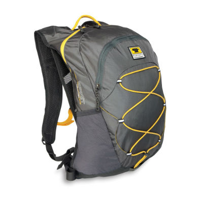
The Mountainsmith Spirit 12 Backpack:
Mountain biking requires an ultra light and breathable pack in order to reduce stress on your lower back while riding. The pack can easily be used as a hydration system, it being compatible for 3L water bladder (bladder sold separately). To provide comfort and breathability Mountainsmith has incorporated the breezeway trampoline back-panel; this will help keep you cool and dry by limiting surface area exposure to your back. To help with safety during rides at night, the Spirit 12 is equipped with reflective highlights and bungees that will reflect light effectively, alerting cars of your presence. The Spirit 12 was designed to hold tools in its organization section, a perfect fit for your tire pump and biking tools. Comfort and stability is provided through the 1″ adjustable waist belt which is designed to fit around the unique contours of your waist. The pack also has diamond air mesh with DWR anti-sweat shoulder straps.
Specifications:
Materials:
210d Duramax™ RipStop
420d Duramax™ Nylon
210d RipStop Liner
Dimensions: 17.5″ x 9″ x 5″ / 44.5 x 23 x 12.75 cm
Weight: 1lb 9oz / 0.7 kg
Fit Range: Torso: 15″ – 19″
Capacity: Up to 10 lbs
Product Website: http://excursionoutfitters.com/shop/mountainsmith-spirit-12-mountainlight-hiking-pack/
Please rate this product: (no login required)
(11 votes, average: 3.45 out of 5)
Loading ...
September 25th, 2013 in
Backpacks |
2 Comments
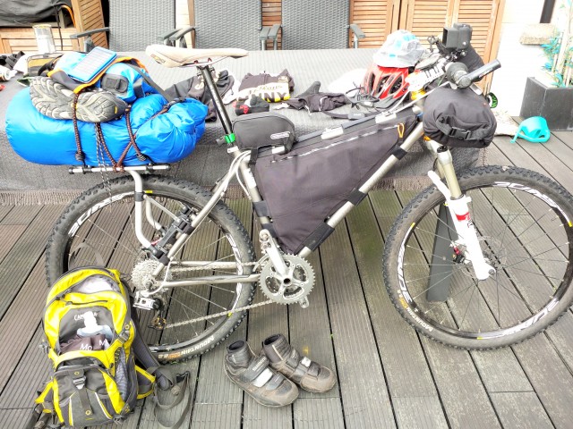
DIY frame bag & handlebar bag
THULE rear rack with drybag

Counting grams
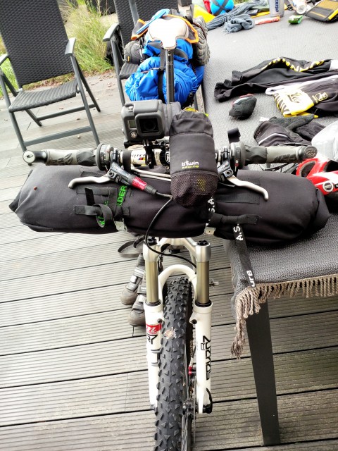
DIY handlebar bag with EMS bivy bag and Decathlon 3/4 sleeping mattress inside.
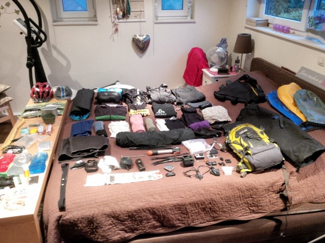
All the gear spread out
I discovered this site a while ago, and I’ve been coming back to it daily.
When I was a student (early 90’s), I made quite a lot of “biketouring” trips.
But all things evolve and biketouring became bikepacking (sounds cooler to me).
So a couple of months ago, I decided to start making my own gear
(see forum:http://www.bikepacking.net/forum/index.php/topic,5960.0.html
http://www.bikepacking.net/forum/index.php/topic,5975.0.html
http://www.bikepacking.net/forum/index.php/topic,5993.0.html)
and to go on a 1 week BP tour with a friend.
Where? When you live in Belgium, you have a lot of options to go all over Europe.
So we picked Romania.
Why?
Well, my buddy Dave (who’s an American btw), his great grandfather comes from Romania and he always wanted to visit the village where his family came from.
But, enough pre-history, let’s take a look at the set-up (see photos).
Here’s my list:
BikePacking packlist Romania

Listing it up
Please feel free to comment and/or add your remarks.
I’m always eager to learn from other bikepackers.
Regards,
Berten
September 22nd, 2013 in
Personal setups |
3 Comments
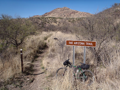
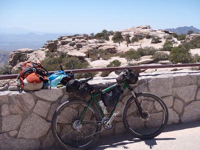
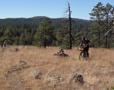
Entering into the Arizona Trail 300 race this year I simply had two goals: Finish & Have Fun. Period. I took an extra day off of work, just-in-case something silly happened out there where I needed more time than I thought. I had no doubt that I would finish this year, none. That can’t be emphasized enough, since so much of this route is a mental game. I think everyone going in knows it’ll be tough physically, but are you prepared for the unexpected, the tougher trail conditions and the seemingly endless hike-a-bike (HAB) sections? There were two instances where I could possibly see myself not making it to Picketpost, a major mechanical issue with the bike, i.e. broken frame or a safety concern either from a crash, dehydration, etc.
Part of the thrill for these events is in the planning stages. You go over all the possible scenarios in your head, trying to plan for them. What to take? What to leave at home? How am I getting to the start line? What are the store hours/locations off route? Blah, blah, blah. I put together a massive checklist and a couple days before the start I was ready. It also helps to have a detail oriented riding friend, Ray, who gathered up tons of info and slapped it into a spreadsheet!! Ray also contacted a local shuttle company, Gnar Gnar Tours, who delivered 11 of us from the Picketpost finish down to the start at Parker Canyon Lake. It was super affordable, covered bike enclosure (we could leave our bags, etc attached) and none of us had to drive 4+ hours prior to the race.
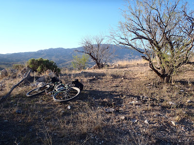
I loaded up my bike and put it on the scale: 44.5lbs. I was pleased with that, last year it was around 52lbs. I was able to leave a few things home this year: no tent, no air mattress, no long underwear, no dual bottles on the forks and a fresh haircut to name a few!
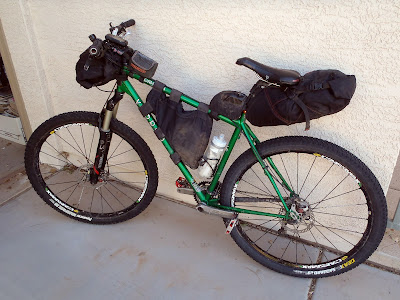 |
| My setup: Voodoo Dambala 29er. |
The time had come to put 2012’s attempt to rest. We met out at Picketpost on Thursday evening, everyone was buzzing, you could feel the excitement in the air.
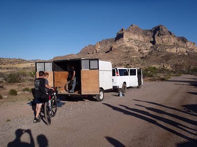 |
| Our deluxe shuttle ready to roll. |
On our way south we stopped in Tucson for some grub at 1702 pizza, thanks Chad for the recomendation!
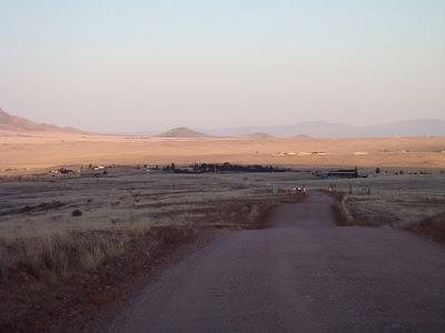
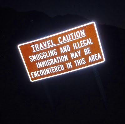
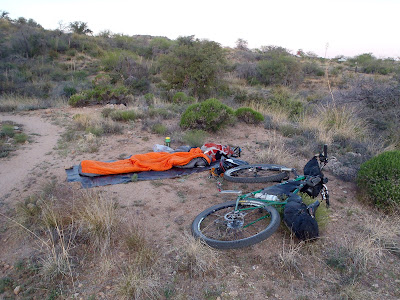
Our destination was Parker Canyon Lake a few miles north of the Mexican border. The last couple of miles of route 83 get fairly primitive and our shuttle driver, Phil, commented how this was the gnarliest the gnar-gnar van had experienced!! We unloaded, Phil took off and I quickly set up camp for the night. My lumber covering tyvek, courtesy of Lowe’s, as ground cover & sleeping bag, done. I managed to actually get a bit of sleep. I would’ve gotten more, but after trying to hydrate myself for the race all I ended up doing was getting up to pee every 2 hours!!
 |
| The start of the adventure. |
 |
| One of the 750 riders, Cjell Money rolling through, quite the character. |
It’s nice camping out at the start, no last minute rush to get there, just pack up your bike and get set for the 9am departure.
 |
| Parker Canyon Lake. |
 |
| The man with the master plan, Scott Morris, reminding us that he did not design the trail over Oracle Ridge. |
 |
| Ray & Steve listening in. |
SPOT tracker: ON, GPS: ON, track loaded: 36%……36%…..9am comes & goes as do all the racers….36%….WTF?!?! Now? Really? Two more minutes and finally the track gets un-stuck and finishes loading: 100%!! It’s go time. As I pass by Scott, he says “bringing up the rear Mr. Schilling?”, of course Scott, that’s what I do, trailsweeper!!
Day 1:
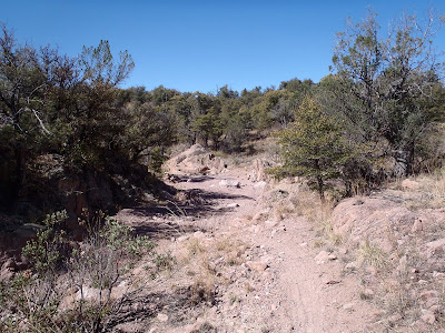
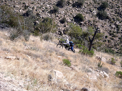
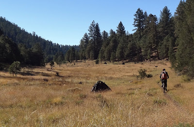
Into the Canelo Hills we go. The first 30 miles of the route really sets the pace. It’s tough going especially the first 15 miles through the east hills, ride some, hike some, repeat. Beautiful scenery though. It was a pleasant morning, light winds which did help on the HAB sections.
 |
| Steepness is rarely captured by a photo. |
I met two cool riders from Alaska, Sharon & Michael, while HAB’ing the various hills. We’d end up leap-frogging each other over the entire race, many times without each other knowing it.
 |
| Beautiful rolling hills help ease the pain! |
 |
| I caught up to Steve, who was battling stomach issues, here he takes a break at Canelo Pass Rd. |
 |
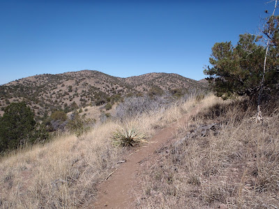
| Into the West half of the Canelo’s a bit more forgiving. |
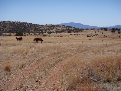 |
| Home on the range. |
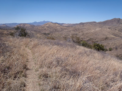 |
| I could ride trails like this for days!! |
 |
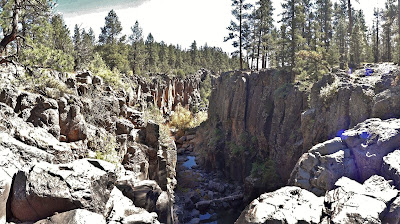
| A unique cliff formation for this part of AZ. |
 |
| Ahh, exiting the Canelo’s, time for pavement into Patagonia. |
My original plan was to exit the Canelo Hills, hit pavement and get on the horn to Velvet Elvis Pizza in Patagonia for a to-go order. Plans change. My cell coverage sucks, to be blunt, so I wasn’t making any phone calls – not even IN Patagonia. I skipped on the pizza idea, opting only for a quick stop at the market for drinks then to push on up the road to Sonoita some 12 miles away for food. As I approached the turn in Sonoita I spotted Sharon & Michael heading out, I hadn’t seen them in over 20 miles.
 |
| Action shot!! |
In Sonoita I ran into Jeff, one of our shuttle riders, who was waiting on delivery of a new rear tire. His tire had a catastrophic failure, the bead separated from the tire while riding into Sonoita…on pavement! It just so happens that I was running the exact same tire, a GEAX Saguaro!! I hope I don’t suffer a similar fate. I grabbed a bite to eat and some food for the next morning. I took off with the sun still hovering above and was happy about that since last year I was putting my lights on while in Sonoita.
On my way up the final bit of pavement I saw another rider ahead, JC, and caught up to him pretty quickly. We had hung out a bit in Patagonia, but he skipped the Sonoita stop and kept rolling. He had a nice cut on his forehead from a branch going in between his helmet slots! He mentioned how much harder it was for him this year over last. I pushed onto the jeep road connectors making my way towards Gardner Canyon and some sweet AZT singletrack.
 |
| I made it about 1/2 way to Gardner Canyon before digging out my lights. |
On the jeep roads I spotted another rider, this time he was heading TOWARDS me. It’s Bob!! What’s up, Bob? I’m done, was his reply. Knee issues were a major concern for him and he feared permanent damage if he continued. He’s a super fit/strong rider too, bummed to see him drop out so early. He’ll be back.
I pulled over to hook up my lights before it became too dark. I started getting everything ready, digging in my pack I couldn’t find my helmet light. Hmmm, I could’ve swore I put it in the top compartment. Nope. Framebag?? Nope. Seatbag? Nuthin. Ok, starting to panic a bit, this will surely put a damper on things, especially this VERY moment since I was smack in the middle of a 7 mile no camping zone!! Maybe I could ride with my camp light on?? I dug that out, then decided I better dig through everything entirely before I resort to plan B. I pulled everything out of my backpack, then my framebag, then by seatbag…THERE it is!!! Whew! I had wrapped it in soft packing material and stuffed it inside my cooking mug, duh! I put it there to protect it. Heartrate back to normal, I resumed getting ready for cool night riding as JC rode by.
 |
| Yep, it’s that part of the country. |
JC and I stuck together for the next few miles over the remaining jeep roads into Gardner Canyon. Jeff managed to fix his rear tire and passed by both of us before too long. Look, there it is, the AZT turnoff, time for some sick Flume Trail…in the dark!! Yeehaw!!
I made it to Kentucky Camp a little after 9pm and found Jeff in the back by the free-standing sink. We chatted for a bit, he took off and I grabbed a snack & topped off a bottle. There were only a handful of racers crashed out for the night, maybe 5 or 6 total. I wasn’t tired and wanted to get well past Kentucky Camp before calling it a night.
Night riding is really relaxing to me, out in the middle of nowhere, only a few sounds here and there. It’s just you, the trail and the sky. I ground out the next few miles of jeep road, crested the high point of the Kentucky Camp area and picked my way through more miles of singletrack before reaching Box Canyon Rd.. This is the spot where the AZT Jamboree and the AES Kentucky Camp courses overlap. My GPS had just indicated a ‘batteries low’ warning, so I took that as a sign to stop for the night. It was midnight, 15 hours of ride time on Day 1. I’ll take that. I found a clearing just past the gate and settled in for the night. Of course no sooner do I get into my sleeping bag I hear some cattle not too far away. Great. How close are they? Are they moving? They seemed far enough away and weren’t getting any more loud, so I stayed put. I dozed off soon enough only waking a couple times during the night, once to a raucous bunch of coyotes howling for a few minutes. I was awake for a bit just after the moon set and stared in amazement at the sight of the Milky Way. Living just outside the big city, you sometimes forget it’s there. Remarkable.
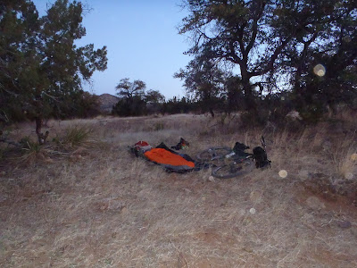 |
| Campsite for Day 1. |
Ride totals: 67.32 miles, 8200′ in 15hrs.
Day 2:
I was up at the first light of day, made some cold oatmeal (really not bad at all) and had some OJ. I packed everything up and was on the trail at 6:30a.
 |
| Mt. Wrightson from camp and the gate by Box Canyon Rd. |
The next few miles of trail are just fantastic, hilly grasslands with an overall downhill trend. A real good way to start a long day. I crossed Helvitia Rd near Rosemont JCT and saw a rider, another fella from Alaska! I think his name was Jeff, but I could be delirious. We were both shedding layers early in the morning, so I knew I had to get through the rest of the upcoming hills quick.
During one of my countless dismounts I snagged my shorts & ripped them pretty good, drat! Gorilla tape to the rescue!! Keep pushing, my goal for the day was to get as close as I could to Molino Basin up on the flanks of Mt. Lemmon, but that would mean an 80 mile day.
 |
| Crossing Helvitia Rd. |
 |
| Ahh, there it is. Death Mud Ridge from last year!! Dry, warm & ridable this year. |
 |
| My closest encounter with cattle. |
There’s a section of trail through these parts that has a fair amount of larger rocks scattered about surrounded by a forest of prickly pear cactus. It was this section when I somehow decided it would be wise to ride more of the tech features instead of simply dismounting to get up & over. Well, I should’ve done the latter as I didn’t quite make it up one particular rock, unclipped my right foot and stepped into a prickly pear with momentum carrying me into more! I instantly began hopping through 3 or 4 full grown cacti attempting to avoid all nastiness, which I ‘mostly’ did. I gingerly made my way back up to the trail and removed about 30 cactus spines from various parts of my body. Press on.
I came to that glorious spot in the route where the hills give way to a steady stream of flowy downhill singletrack bliss. Free miles I call them, minimal effort, just let the trail flow.
 |
| One of the final crests before the downhill fun. |
 |
| I seem to always take a photo here, first real glimpse of what’s to come. Mt. Lemmon!! |
 |
| Met a local Tucson rider out training for the Whiskey Off-Road here. Sadly, no aid-station was present like the Jamboree!! |
 |
| Crossing under Rte. 83. |
 |
| Another fast section down to I-10 |
 |
| Cacti blooms!! |
I was now making really good time and thoughts began to creep in about stopping for a burrito at La Posta Quemada Ranch a few miles down the trail. Mmmmm. As I’m cruising down towards the I-10 culvert I go over a nondescript rock in the trail….psssssss. What the??? Nooo. Front tire puncture and Stan’s sealant is spraying everywhere!! I stop to check it out, a super small hole right smack in the center of the tread. Why isn’t this thing sealing?? I recall Ray mentioning high tire pressure causing the Stan’s to not work instantly, so I let the tire go down some more while pooling the area with sealant. A minute or two later it stops leaking. The tire is low, but still marginally ridable. So I take it easy knowing there’s a covered table at an upcoming trailhead only 2 miles ahead. I’ll mess with it some more there.
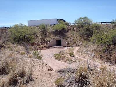 |
| I-10 culvert. |
 |
| 3 Bridges area. Just past the trailhead, I added a touch of rubber cement to the puncture and added some air, good to go. |
I met up with a couple of locals out for a spin, when they pulled over to let me by they asked if I was headed to Superior? Yep, they wished me luck as I pressed on towards my burrito. Almost everyone I met on the trail knew of the race, it was really cool to hear the words of encouragement. Shortly thereafter I crested a saddle and there it was, La Posta & my burrito!! I made quick work of the downhill into the ranch and even passed up a free offer for some Pringles from a mom & son out on a picnic date.
 |
| La Posta Quemada. |
 |
| Hey look, another bikepacker! Guess where he’s from? That’s right, Alaska. |
I ordered a bean & cheese burrito, Pepsi & Gatorade, ahhhh. That really hit the spot. I shared a table with another fella from Alaska, Leonard. He said he was calling it quits and waiting for a ride. Bummer. He thought he went out too hard the first day, didn’t recover and the trail was just too much for his current condition. I wished him well, and made my way back on route heading over towards La Selvilla Campground. I also took note that the GPS now read 100 miles almost on the dot. 1/3 of the way there!
 |
| I used the water here to freshen up a bit and to cool down, but the faucet was loaded with bees!! |
Leaving the campground I was excited to ride some AZT newly accessible to mountain bikes over towards Hope Camp. The trail around the mountain to Pistol Hill is really flowy and it doesn’t let up! A few miles later I crossed X-9 Ranch road where the course turned off the prior year. More swooping trail followed, wow, this was fun riding!!
 |
| This trail begs for speed, doesn’t it? |
 |
| Hope Camp. |
 |
| Leaving the new section via jeep road. |
 |
| The oasis that is the Rincon Market!! I left here with 200+ oz of water heading over to the Rincon Mtns. |
 |
| I rolled past the east side of Saguaro Nat’l Park. |
 |
| This intersection had special meaning, this was the spot last year where Chris and I turned left and headed into Tucson for a hotel. This year, I turned right and made my way over to Redington Rd. |
 |
| The shadows grow long and the mountains loom large. |
 |
| This is a connector trail?? |
I was kindly warned of some novice horseback riders up ahead, and fortunately they had just crossed an intersection where I would be able to safely pass on the road. The tour guide informed me that another rider was only 10 minutes up the road. Who could that be? I made my way down to the next turnoff where I found Ron, a Scottish guy residing in the pacific northwest. He was rockin’ a belt drive singlespeed and asked if I ran into the pizza lady? Huh? He said some lady drove up to him and asked if he wanted a slice of pizza, he didn’t turn it down!! I was bummed I missed her. We chatted some more while cruising over towards the Redington Rd climb. I’ve heard some things about the steepness of the climb, so I was a bit anxious to get going on it. Ron said he just hoped to keep me in his sights since that SS would be tough on the steep incline.
 |
| I was able to mash out the paved portion of the climb and when I hit dirt I stopped to put on my lights. I was treated to a wonderful sunset over Tucson. |
 |
| The start of the dirt climbing. |
 |
| The pitch relaxed every now & then. I was thankful for that!! |
Even after my 15 minute stop for lights, I never did see Ron again. I assumed he had to HAB up Redington, not fun. The road was a bit more traveled then I would have thought. At one point a jeep full of 20-somethings came hauling down the road, I stopped to let them by but the driver locked up the wheels skidding to a stop next to me. While everyone in the vehicle was whoopin’ & hollerin’ a giant dust cloud enveloped me, at the same time the driver asked me if I was ok? Showing my displeasure with the dust I said I was fine, then he realized what he’d done and apologized for the dust-ball and took off.
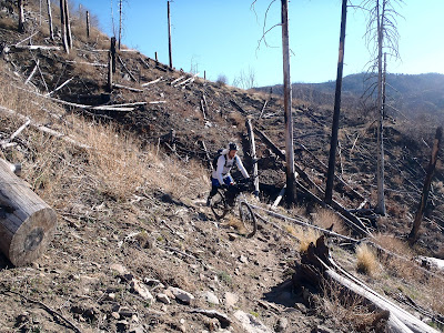
Up at the top of the climb it was now dark as I turned onto a series of rugged 4×4 jeep roads. This area was crazy. So wide in spots I wasn’t sure if I was on the road or just a clearing. Super rutted and loose I ended up HAB’ing a ton of FR4417 both up & down. It was really tough for me to find good lines to ride. This section was particularly frustrating because I was expecting to ride more freely up here. An hour or so passed and I finally made it to a more friendly 4×4 road, then onto the AZT. It was now around 11pm and the route twisted in every direction, sometimes the lights of Tucson were to my left, then the right. It was difficult to gauge a good sense of direction up there.
 |
| Picture doesn’t do it justice, but it was rugged. |
At the start of the AZT there was a sign, 12.5 miles to Molino Basin. Could I make it there? I just wanted to get close. I made it to the top of the second to last climb around midnight and called it a night. I had just past two separate campsites with bikepacking gear. Not sure who it was, but I thought one setup could’ve be Sharon & Michael. I found a nice clearing and fell asleep quickly after my 18 hour day.
Ride totals: 78.4 miles, 9066′ in 18hrs.
Day 3:
I woke in the pre-dawn and began packing up immediately. I ate a nice breakfast and was rolling away from camp at 6:30a once again.
 |
| Second nights campsite. |
I wasn’t riding more than 5 minutes when I came upon Josiah, he and Mark had been camped only a couple hundred yards down from me. Mark had taken off early around 3:30a, but Josiah had a rough night of stomach issues and was contemplating scratching from the race. I invited him to ride at my slower pace and he gladly accepted. We continued our trek over towards Molino Basin.
 |
| Josiah looking small in the vast valley. |
 |
| There were a few cool bike ramps along the way. |
 |
| Before long the trail turned upwards, the higher it went the steeper it became. |
I’ve now resided in the desert southwest since August 1991 and have been out mountain biking the trails of Arizona since 1994. That’s a ton of trail time & miles. I had yet to ever spot a Gila Monster in the wild, until this day!! What a thrill!!
 |
| He was a small guy by Gila Monster standards, but I didn’t care. |
Josiah had pushed on up the mountain while I took pictures and took a short break. A few minutes later another rider, errrr HAB’er, came up the trail. It was Scott Jones, another PNW’er down to enjoy some AZ sun & trail. We continued our grueling push up towards the saddle that would lead us down to Molino Basin. It was then that I caught 3 riders coming down the trail with relative ease. Hey, look, it’s Krista Park crushing the downhill scene!! No thanks, that trail is wicked, I’ll just continue my slog up the mountain.
 |
| Scott in full push mode. |
 |
| Glorious shade!! |
I never did notice the turnoff for the famed La Milagrosa Trail, all the HAB must have made me dizzy. We finally crested the saddle and quickly arrived at the Molino Campground. Josiah was lying on the shaded concrete so I joined in for a few minutes.
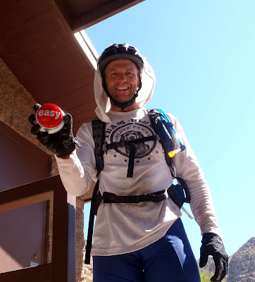 |
| As we’re lying on the ground, Scott walks up and pulls out a Staples ‘Easy’ button and nails it, ‘That was easy!’ It sure lightened the mood as we all laughed like school kids. That thing isn’t light either!! |
There is no water at the Molino Campground, so Scott went back up the trail a bit to find a reported spring or water pools for filtering, Josiah and I started the 2 mile ride up the final dirt stretch of AZT before hitting the paved Catalina Hwy ascent to Summerhaven.
 |
| Snack time. |
Near the Prison Camp trailhead I was lectured by a park ranger for getting too close to a set of historic stairs. No signage signifying anything, so I simply apologized and moved on. I was getting set to grab a quick snack under the cover of shade when a group of downhillers finished up a ride down Bug Springs Trail. They were all stoked from their white-knuckle descent and one the guys offered to buy the Yuengling jersey off my back!! No deal. They did offer me a beer when they found out where I was riding to, but I reluctantly declined that as well. I did manage to score a half bag of ice!! So precious. I topped off my bladders then gave the rest to Josiah who now decided he didn’t have the climb up Mt. Lemmon in him after his night long battle with his stomach. I pushed out of Prison Camp to begin a 14 mile climb up Mt. Lemmon to over 8000′.
Shortly into the climb I came by the Bug Springs trail and a few riders were standing on the opposite side of the road. One of them yelled out my name, hey Schilling!! Go get it!! I’m still not sure if I knew them or not, or they were just avid SPOT stalkers checking out the race. Either way it was cool. (*edit: I have been informed it was my friend Joe C. from Tucson!! Thanks for the shout-out Joe!)
 |
| It’s not a steep grade, just keeps going & going. |
A few miles into the climb I heard someone yelling at me to STOP!! Huh? I looked back and saw a road biker coming up behind me, but there was a couple outside a car just ahead too. The biker yelled again and I slowed down to see if he was in fact yelling at me. It turns out it was a friend of mine who had ridden down to Tucson the day before, then rode up Lemmon earlier in the day. Brian just wanted to say ‘hi’ and wish me luck, then he handed over a pile of gummy chews & GU’s!! Thanks buddy.
 |
| Windy Point vista area, getting closer. |
 |
| I stopped at Windy Point to take a break & another young couple from Prescott came over to check out my ride. I forget their names, but they were super nice and gave me some cold water & a granola bar. Trail angels, love them!! They had also reported seeing Jeff & Nancy up the road about 45 minutes prior. |
 |
| Spotted this fella across the road. |
 |
| Mt. Lemmon is super popular with the road biking scene and I was consistantly passed time & time again! |
 |
| Hard to believe we climb all the way up here, just to go all the way down there. |
 |
| Palisades Ranger Station very near the high point of the climb. |
Ironically, on the way up Mt. Lemmon there’s a stretch of downhill before Summerhaven where I clocked my fastest speed of the race at over 38 mph!! Kinda sketchy on a loaded mountain bike.
 |
| In Summerhaven Scott and I met up once more and grabbed some burgers here. |
I think the topic of food came up when Scott and I were waiting for our burgers to arrive. He mentioned how he was riding along the trail & spotted a gummy bear on the trail, stopped, noticed it was a ‘fresh’ one and proceeded to eat it!! Classic. Now he was craving gummy bears!! It just goes to show what level bikepackers will go to in order to satisfy a craving.
We left the Sawmill Run for the General Store, but it was closed and had been all weekend to the wonder of the locals. Not sure what was going on there, but I’m glad I wasn’t counting on the store for necessary re-supply. We went back to Sawmill Run to top off water & grab some ice before heading over to the now legendary Oracle Ridge trail.
I had heard the stories of the ‘Traverse-O-Death’, saw the pictures of all the downed trees, the narrow trail, overgrowth and high penalty for failure should you misstep off the trail. No worries, we had a little bit of daylight left!!
 |
| We saw the sign & instantly overshot the trail heading down the control road a few hundred feet before realizing our mistake. |
 |
| How could we miss THIS!! Start the HAB. |
 |
| Tons of fire damage remains, Scott ‘almost’ rides it!! |
 |
| A stark landscape up top, some walking, some riding. |
 |
| Traverse-O-Death time! 2 miles of HAB fun, what to do? Remove a pedal & save a shin!! |
 |
| There were a few tricky obstacles. |
 |
| Throw in some overgrowth too. |
 |
| Now add it some stellar views. |
 |
| A simply stunning senset over a growing Century Plant stalk and it really wasn’t all that bad. We exited the T-O-D before dark and began the mostly ridable jeep road down the mountain. |
 |
| There were small reminders of Mingus Mtn. thrown in, but overall I think I had mentally prepared myself for the worse. |
The grade finally began to let up signaling the end of the monstrous descent down from 8000′. There were a few short über steep, think 25% grade, grunts up 4×4 road which were difficult to walk up. We turned onto some rippin’ singletrack on our way towards Oracle State Park. It seemed to go on and on as I was getting close to the spot where I’ve ridden before signaling ‘known’ trail all the way to the finish. We finally crossed a dirt road I recognized and followed the water-barred trail down to the American Flag trailhead.
 |
| Scott crossing the famous American Flag AZT sign. |
We were now in Oracle State Park, I was getting hungry & tired after another 18 hours on the bike. What to do? Push on to Circle K at a late hour or just call it a night and re-supply in the morning? We both wrestled with this idea over the next few miles. By the time the Kannally Ranch came into view we both decided to call it a night sometime around midnight. A quick bite to eat satisfied my hunger and I was soon off to sleep. I woke briefly during the wee hours of the morning to a magnificent view of the Milky Way once more, this doesn’t get old.
Ride totals: 49.69 miles, 9184′ in 18hrs.
Day 4:
Again up at the first crack of light, we began rounding our stuff up. I went to fire up my GPS and it was dead, nothing. Drat. No more batteries for my external charger either. Time to fire up the GPS on the phone and use my Strava app to at least record the track over to Circle K where I could get more batteries.
 |
| Yet another campsite, my last of the 300. |
 |
| The Sun getting ready to shower us in warm temps. |
Scott was ready, so he took off about 15 minutes ahead of me. I finished packing up and headed out to grab a convenience store breakfast/lunch/dinner and more. On my ride over to Circle K, Sharon & Michael passed me heading out towards the route at Tiger Mine Rd, it was good to see them and know I wasn’t too far behind. I also met up with yet another Alaskan rider, Tony. Unfortunately, he was dropping out in Oracle after missing a turn coming down Oracle Ridge he went way off route and would be relegated to a ‘Did Not Finish’ status (DNF). I felt bad for him as we were now approaching the final stretch to Picketpost.
 |
| The marvels of the modern day convenience store. |
 |
| The people love their town! |
I loaded up on food, trying to calculate how much I would need for the final 93 miles over the harsh desert landscape. I picked up a gallon + 33oz bottle of water, but when I opened the gallon, it was mostly frozen!! Doh! The clerk was kind enough to let me swap it out for a warm one & use the ice machine to top off my bladders. I misjudged how much water to buy as I didn’t really have the capacity for the extra 33oz bottle, but it did manage to fit inside my pack albeit snugly. Needless to say, my pack was now heavy. I was carrying 233oz + 21oz bottle of electrolyte in my pack + 21oz bottle of CarboRocket on my bike!
Scott left the Circle K about 15 minutes ahead of me. Back on course the weight of the pack started to settle down and I got used to it. I just love my Osprey Talon 22!!
 |
| Tiger Mine trailhead, Antelope Peak on the horizon under the AZT sign. |
 |
| Desert Mariposa Lily. |
The beginning of the Antelope Peak segment has a series of large drainages that the trail snakes its way through. I was coming down the second or third one when all of a sudden a plump Gila Monster waddled onto the trail right in front on me!! Simultaneously, I was filled with awe and oh shit, I’m going to run this guy over!! I jammed on my brakes and rode out a nose wheelie within inches of hitting this colorful fella. Whew! That was close.
 |
| My second Gila Monster in two days!! Scott was right, he called it the day before saying I’d see another one!! |
 |
| Still looking fresh, Antelope Peak fixated on the horizon. |
 |
| This pretty much sums it all up. For more clarification see Rule #5. (Also, note the little black dot on the GPS’ elevation profile, that’s me) |
I always seem to forget how taxing this section of trail can be with all the ups & downs. It was getting warm and I constantly had to keep my mouth moist. I few times I let it get too dry and almost dry-heaved when I attempted to get water out of my hose. At least my water was still cool & I had plenty. As the trail wound around I kept tabs on upcoming landmarks, i.e. personal checkpoints if you will. Something to keep my mind busy. Climb to the gate marking the descent into Bloodsucker Wash, descend 5+ miles into Bloodsucker, etc.
 |
| Cholla forest at the gasline bypass. |
 |
| Cairn marking the start of the descent into Bloodsucker / Camp Grant Washes. |
 |
| A mini-Ripsey ridgeline. |
 |
| Beautiful singletrack through here. |
 |
| Down in the wash I passed by a snoozing Sharon & Michael. |
On the banks of Bloodsucker Wash I took cover in some needed shade for lunch. Next up was the long steady rise to the Freeman Rd water cache. At least the beginning climbs are on jeep roads at a friendly grade. Soon I was at Beehive Well, full of water, but I didn’t need any.
 |
| Beehive Well. |
 |
| Too much effort to try & pedal through it. |
 |
| Sonoran desert shade tree: Saguaro Cactus!! |
 |
| Finally, Antelope Peak is near!! |
I worked my way around the flanks of Antelope Peak and had the good fortune of having a trail mostly clear of chollaballs through the dense cholla cacti forest. I had a sense of relief when I popped out on the dirt road that would lead me to Freeman Rd. I was hopeful that the water cache was still well stocked as I had been chugging water the past couple of hours. I was almost afraid to look at my water levels!
 |
| Starting to put Antelope Peak in the rear-view mirror. |
 |
| The water cache still had plenty left, most of the bottom layer was full. |
 |
| I had to grab the one with Seron’s message on it!! |
Loaded back up with 230+ oz of water and a quick snack I rolled out onto the super fun Boulders section. I was feeling good, it was about 5pm and I wanted to try to get down into Ripsey Wash before dark. I put the hammer down on the next 12 miles knocking them out quickly.
 |
| I just love this gate, self-closing counter weighted out in the middle of nowhere. |
 |
| My first view of the Gila River Canyons, the final obstacle of the route. |
 |
| One of my last views of Mt. Lemmon on my trek north. |
 |
| Exiting the Boulders section onto a drab powerline portion for a few miles. |
I made the turn off the powerline onto the Ripsey singletrack, still daylight, still feeling good although I was starting to get a bit hungry. My plan was to ride all the way into the finish as long as I felt good, I didn’t want to be down by the Gila River during daylight having to climb some 2000′ out with the sun on me. I had to keep moving. I always seem to forget how long this stretch of trail is, from the powerline to the gate that leads you down into Ripsey Wash. It just kept going, going and the sun was getting lower, lower. I came around a corner and a nice big rattlesnake was crossing the jeep road. I was beginning to wonder if I’d even see a snake on this ride. He clearly didn’t want me closer than 15 feet as his rattle was going almost instantly I was off the bike and wanted a good rattlesnake pose!!
 |
| Mr. Rattlesnake obliged and reared up for me. Thanks. |
I made it to the gate just as the sun was dipping below the horizon. I took this time to change over to night riding mode and have something to eat. My food choices were getting a little limited, my stomach was borderline iffy, but it seemed settled enough so I downed some tuna salad, jerky and an awesome chocolate chip cookie. I mixed up some grape GU Roctane, that stuff is tasty….if you like grape drink anyway. All that seemed to do the trick. I listened to the cattle bellowing nearby and started down into Ripsey Wash, now under the cover of darkness.
 |
| The last rays on Monday. |
 |
| The ‘Big Hill’ looming, I’d be HAB’ing that sucker. |
I was still shooting for a 9am finish, but I had to get up to Ripsey ridge in a timely fashion to pull it off. Down in the wash, I was dumbfounded by how many times I lost the trail!! I’ve been through here a bunch of times, sure it can be a bit tricky in the daylight, but sections seemed totally unrecognizable to me?!?! The area did seem to be a bit overgrown since our last ride down here about a month prior. More on/off/on the bike ensued. Eventually, I had enough and just walked it out to the main wash area, up to the gate and up the initial incline. How many miles have I HAB’d so far I wondered? 20? 30? It was a ton I knew that much. Slowly I made my way to the top of the Big Hill, the trail leveled off a bit so I rode up to the ridge where I was going to take a 15 minute chill session to enjoy the quiet darkness.
Not 20 feet from where I was going to stop my rear tire nipped a medium sized rock and flung it into my rear wheel snapping a spoke!! Gah!! My wheels don’t have many spokes to begin with and I have 3 different lengths to contend with as well. I found my resting spot, dug into my pack and pulled out my two spare spokes, genius right? Wrong. I had the two ‘other’ sizes, not the one I needed. In addition, the broken spoke was on the drive side and I wouldn’t have been able to remove the cassette to replace it anyway. Plan B: Gorilla Tape & zip-ties coupled with a slight adjustment in the seating of the wheel. Bingo.
 |
| Not the most impressive MacGyver fix, but it worked. |
So much for my peace & quiet up on Ripsey Ridge, now I was more reluctant to go faster on the long downhill into Kelvin. I was also starting to get hungry again, but just couldn’t find anything to eat, so I pushed on.
Looking down into the abyss of darkness I spotted an LED over near Kelvin. I figured it must be Scott, since I hadn’t seen him all day. I also knew I wouldn’t catch him, unless he stopped. It was quite a sight actually. I was hitting my stride descending in the dark when I came across a nice Camelbak bottle in the trail, I thought it may have been the one Scott found earlier in the day. I picked it up and noticed it was almost full, so I opened it up and took a swig! Cool water!! Awesome. I immediately opened a packet of Recoverite and made a drink – that really helped a ton!!
 |
| Another creature of the night, this Centipede was wicked!! At least 10″ long & 3/4″ wide. |
It was about midnight when I rolled through the Kelvin trailhead, I rummaged for some kind of snack as I was feeling a little jittery. I resorted to more GU’s & gummies. They helped for a bit.
 |
| Kelvin Trailhead at the stroke of midnight. |
I crossed over the Gila River bridge and started up the newly returned singletrack on the backside of Dale’s Demoralizer. It was a really nice climb as was the subsequent downhill.
 |
| Arizona Trail completed at the top of the climb back in December 2011. |
I started counting off the short climbs I had to do along the river. 3 to go, then 2, ok this should be the last one until some sandy jeep roads, yep. I’m not delirious yet!! I kept rolling along the banks of the river heading west towards the mighty climb out. I was about 4 miles to the turn north, it was 3am and I was still feeling ok. I began to run the numbers, I want to be at the turn by 3:30, I need to go 8.0 mph over this section. I should be able to do that, it’s not a tough section. There are these flat fast spots under the trees with ‘real dirt’ and they are blazin’ fast. I came to one of these areas, but failed to notice the trail had a deep soft shoulder on the left, right where my front tire went!! Zoooommm!! The bike just dropped away out of my hands off the trail!! I go flying over the bars, but by some infinite wisdom, I wasn’t clipped in at the time and landed on my feet!!! Holy shit that was close!! Ok, dude, slow down, it’s not that important.
The bike checked out ok, but the front tire had a slow leak. I had to stop every 15 minutes or so to give it some air. After about 4-5 stops it finally seated itself and seemed good to go. I had also burped the rear tire at some point and had to pump that up as well on a different occasion. It too seemed fine, but time was slipping away. It was now 4am and I was still over a mile from the turn.
I started to feel the tug of the sleep monster creeping in, so I popped some more caffeine gummies. I took a 5 minute break after the moon set to enjoy the Milky Way one last time. I even spotted a meteor or two. Is this a dream? Part of me just wanted to stare in awe until daybreak, but I knew the anvil of the sun would be upon me soon enough. Keep pedaling.
I recall looking down at my GPS and seeing it pegged at 4:44am when I heard a voice call out. (I would later find out it was Jeff Z) Here’s my recollection of our conversation as I slowly rode by.
Jeff: Who’s there?
Me: John
Jeff: Schilling??
Me: Yeah.
Jeff: Did you ride all night from Oracle?
Me; Yeah.
Jeff; You’re a fucking animal.
Me: I guess (or some other mumbling)
Sorry Jeff, I was pretty zoned out of it by then. I had that slight bonking feeling, but couldn’t eat. I just kept drinking. At least I could get a little CarboRocket down. I HAB’d up the first steep jeep road section, then rode the next bit all the way to the second heinously steep/loose jeep road. I dragged myself up to the top where the giant spire of Picketpost was becoming visible in the early morning daybreak.
 |
| Must. Keep. Climbing. Beat. The. Sun. |
Somewhere during this next section I found a rhythm. I was hoping to reach the upper saddle of the climb around the two hour mark, leaving me at least two hours to reach the finish before 9am. I kept having this internal battle, I can make it before 9…there’s no way I can do it…if I have two hours I can do this!! I kept the pedals cranking up, up, up, then it occurred to me – this is what Scott, Kurt, Aaron, Chad and those other powerhouse climbers must feel. Ride so much that eventually your legs go numb, they don’t burn, you can just keep mashing!! I thought – WOW!! This is great!! It rejuvenated me, granted I still couldn’t clean the real steep stuff but i think I rode almost 80% of that climb out of the river. It was 7:01a when I crested the saddle. I quickly gave my tires one last shot of air and started into Martinez Canyon.
 |
| First rays of light. |
 |
| Upper saddle gained. |
Almost as soon as I started the short traversing in Martinez I could feel my legs getting heavier by the second, I was fading fast. There were still 14.5 miles to go, the last 10 were mostly downhill. I just needed to get there to give myself a chance. At the first climb in Martinez it became very evident I had absolutely nothing left, this was going to be a struggle, a mighty one at that. I kept peeking over my shoulder expecting those camped at the river to come up from behind, at this point I didn’t want to get passed. I had to stop frequently to catch my breath and get a hold of myself just to put one foot in front of the other. The trail was in surprisingly poor shape, as erosion is beginning to hit some of the steeper spots.
 |
| It was difficult to enjoy the beauty of Martinez Canyon on this morning. |
I kept slogging along at a snails pace finally reaching the gate marking the end of Martinez Canyon. 2 1/2 miles took me 1 1/2 hours. A sub-4 day finish was out of the question, but I was good with that. I gave it everything I had, now I just needed to finish. There was one more substantial climb left.
 |
| The last climb staring at me, mocking me, so what if I HAB it. |
I crested the climb with 10 miles to go. Mostly downhill and my first view of Picketpost Mtn which we left for Parker Canyon Lake some 4 1/2 days earlier. It was a sense of relief that the end was near, but even in my sad physical state I wanted to savor the moment.
 |
| View from the 10-mile overlook. |
 |
| First glimpse of Picketpost Mtn. |
 |
| The last gate I’d have to open/close. |
 |
| I won’t miss the tall grass, it jabs at your feet, clings to your socks and frankly can hurt. |
 |
| Flowers from start to finish. |
 |
| Crossing Telegraph Canyon Rd (FR4) about 7 1/2 miles to go! |
I made one more HAB push over the saddle past FR4 and started winding down the trail. I came up on a biker tucked into a sharp turn in the shade. ‘Hey, what’s up?’, ‘Nice job’, he said. ‘Thanks, man’, I didn’t even recognize that it was a co-worker of mine out to see me in to the finish!! Yet another Scott, Scott B. It was cool to see him out there checking out some new-to-him trail. He hasn’t been riding much lately and I was a bit surprised to see him that far out since it’s mostly uphill from the parking lot. I turned down his offer of a burrito, against the rules and I couldn’t have kept it down anyway.
 |
| A rare action shot, thanks to Scott B. |
 |
| Finish line getting closer. |
 |
| Scott B enjoying some rippin’ singletrack. |
I was flying down a few sections of trail, a couple of times I had to think hard about where exactly I was in relation to the finish. Am I 4 miles away?? 5?? just keep pedaling. I held up for Scott B at one point to give him the camera for a finishing shot only to find out he wrecked pretty hard onto his shoulder. Dang dude, you’re bleeding and cut up more than I am!! He mentioned a couple of times how whooped he felt, but I didn’t say a word!! At this point I couldn’t get to the end quick enough. These were the longest 10 miles of my life, just kept going and going. I was cursing every slight rise in the trail. Even attempting to find a line through some boulders was a major challenge. I couldn’t believe how many small rises were in the trail over the last couple of miles.
Mercifully, I dipped into the final wash 100 yards from the finish, there it is…the end!! I made it. I freakin’ made it!!! Exhilaration meet total exhaustion, I was completely shattered.
 |
| The final few yards, digging hard. |
 |
| There it is. AZT300 finisher. |
 |
| Scott Jones was still hanging around after finishing at 9:04am!! I had to pose with the ‘Easy’ button!! |
Ride totals: 101.28 miles, 16188′ in 28hrs.
FINISH:
AZT300 full route totals according to Topofusion & Trackleaders:
Official time: 4 Days 1 Hour 56 Minutes
Ride totals: 296.16 miles, 42,671′ of climbing.
 |
| Elevation profile for the route. |
About 20 minutes after I finished Jeff & Nancy came rolling in, it was so good to see them cross the line!! Singlespeeders too!! Mucho kudos to the both of you, Nancy being the first female SS to cross the 300 line. Cheers to that. A few hours later Sharon & Michael finished up as well.
While it is a tough route, it is truly a remarkable route both good & bad, you’ll never forget either. Even after all the suffering I have to thank Scott Morris for thinking up such a challenge, it is a true test of one’s will power.
Once again thanks to my wife, K, for all the support in my crazy obsession. Thanks also to all my friends & co-workers who gave me words of encouragement, I needed every bit of it!!
**Edit: the 2013 results are posted here, if you want some more AZTR stoke, click on the linked names for more stories from the event. Some truly inspiring efforts thrown down this year.**
Until the next challenge, ride on.
Believe it or not I have MORE pictures, see them here:
Evan and I zoomed down the last stretch of fast pavement on Schnebly Hill Rd to the junction of Hwy179 thereby completing our 4 day, 252 mile route. No one was there, only a dark bridge carrying cars over Oak Creek, but that didn’t matter – we did it! The next stop was directly across the street: Oak Creek Brewery!! Time for a celebratory brew and some much needed grub.
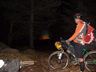
Day 1: Sedona to Mingus Mountain
This all started Friday morning out of the Basha’s parking lot in west Sedona. We opted to change the start location for this stage race format from Flagstaff to Sedona. A weather system moved into the area Thursday afternoon and the high probability of encountering ‘death mud’ up on the Arizona Trail (AZT) south of Flagstaff brought back awful memories from my AZT300 attempt in April. A few posts were made, people contacted, and the switch was made.
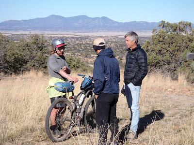
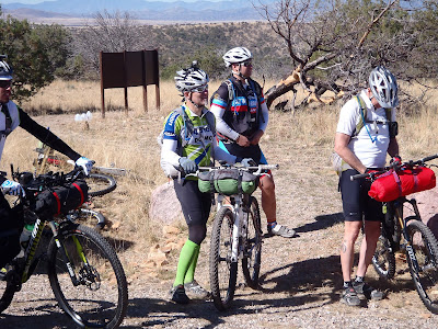
We met up at the NY Bagel shop around 6:30am on Friday to a steady rain. I had just driven through a massive downpour in Oak Creek, so bad that I couldn’t see Bell Rock as I drove right next to it!! We all decided to wait it out for a bit since the storm was about to move along. We were 5 strong to start: myself, Evan (from San Diego), Steve (from Tempe), Tom (from Boulder, CO) and Kip (from Dallas, TX). We readied ourselves at the Basha’s and finally got rolling around 9am.
 |
| Ready to roll out! |
 |
| Kip & Tom. |
 |
| Steve. |
 |
| Evan. |
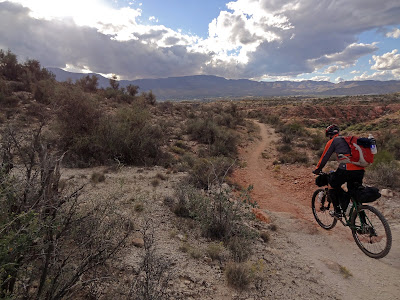
We started off with a few miles of fast pavement riding to the Morgan Rd turnoff, after a quick jaunt through a neighborhood we were onto the red dirt of Sedona and the Broken Arrow Trail. Although my legs were fresh and ready to go, I could tell I’d have to pace myself over the route to account for all the extra weight. I wish I would have had a scale at the start, my best guess is that my loaded bike weighed in at 50+ lbs & my pack around 18lbs.
 |
| The first trail of the route. |
We picked our way up Broken Arrow, generally staying together at this point. The trail had a few spots of mud, nothing crazy, but enough for my chain to get dirty. I pointed out a rock feature to Kip as I walked down a steep decline, that would be the last time I saw him. He decided to pull the plug after less than a mile of trail due to the technical conditions. We found out later that he’d been doing 60 mile gravel road rides near Dallas in preparation, but the trails out here definitely test your bike handling skills, couple that with the elevation and cumulative gain and it’s no wonder he felt the way he did. Too bad, he seemed like a real cool dude. I only wish he would have stuck it out through Red Rock State Park at the least, giving him a nice loop through Sedona & still an easy bailout to the cars.
While we wondered what happened to Kip, Tom kept going and we wouldn’t see him again until camp. The top of Broken Arrow is Chicken Point, a fantastic overlook of Sedona. We started down from the overlook and Steve pulled away from Evan and I, we wouldn’t see him again until the next morning. Evan and I have very similar riding skills & fitness so we ended up riding most of the route together. We cruised through Sedona on the Templeton & Baldwin trails, both new to me which was nice. We paid our $3 to transverse through Red Rock State Park, stopping to clean off & re-lube my chain, and begin our journey over towards Cottonwood on the Lime Kiln Trail.
 |
| It sprinkled on & off, but the mud was minimal. Photo by Evan (EV henceforth) |
 |
| No matter the conditions Sedona is always a good photo. |
 |
| Evan riding some ledges along the Templeton Trail. |
 |
| I’m pretty sure I rode down that. EV |
 |
| Skies are clearing. EV |
We heard some mixed reviews of Lime Kiln trail, but not a whole lot of information is out there. It’s a seldom used trail with a mix of singletrack & jeep roads. My buddy, Ray, completed this ride the week before & was able to share a ton of route knowledge, so we knew there was a short HAB up the first ridgeline. We were expecting some boring sandy sections, but the storm actually made this trail very enjoyable.
 |
| The first ridgeline of Lime Kiln. EV |
 |
| Fantastic views of Sedona, we came from the red rocks in the distant left. |
 |
| Yes, it was dry. |
 |
| Evan rode farther than I, but we still HAB’d it to the top. |
 |
| Sure glad we didn’t start in Flagstaff today!! EV |
 |
| The tall grass made for a sweet riding scene as we neared Cottonwood, Mingus Mtn looming. |
 |
| I love this shot, a synopsis of the route: stunning beauty & incredible singletrack on one hand and a dark sinister side full of postholes, softball sized rocks & steep unrelenting HAB on the other!! |
 |
| Closing a gate never looked so good. |
 |
| The sandy dirt compacted quite nice after the rains moved through. EV |
 |
| The last couple of miles down into Cottonwood were a hoot! EV |
Upon arriving in Cottonwood we had 2 goals: eat some lunch & then supply up for the long route up Mingus Mountain & over to Williams the next day. Total mileage is just over 70 miles with a ton of elevation gain & only one water source (Verde River) that we were planning on utilizing. We made our food stop at Hog Wild BBQ & that was delicious!!
 |
| We are HERE. Mingus Mtn is the next rise, to our campsite. The following day we’d ride down to the Verde River then all the way up & over the next peak (Bill WIlliams Mtn.) into Williams, AZ. EV |
We stocked up for the next day at the Maverick gas station as the last rays of light illuminated the sky. Evan and I started our grind up Mingus, first on paved road, then dirt. Slowly we moved and gradually the pitch became more & more intense. We came to point on the cue sheet that asks ‘Steep enough for ya?’ Yes, Scott, plenty steep, let the HAB’ing commence. Hike-a-bike does have its benefits, you use different muscles and get off the seat for a while. The downside to me is that it is very slow and long stretches of HAB really drain me out. We alternated the HAB’ing with riding when the pitch subsided briefly. As darkness settled in, we climbed & climbed, then we finally caught a glimpse of just how far up the mountain we’ve come. Looking down into Cottonwood was quite a sight, almost like a view out of an airplane. Every now and then we would catch sight of a wandering headlight high above us, Steve?? We found out later it was, and Tom was spying on Steve as he climbed the mountain!!
 |
| Last rays of light over Mingus Mtn. |
We finally hit singletrack, rode for a short bit then began the HAB process once again. At one point the trail turns sharply upward into an S-curve requiring a full lift of the bike, all 50+ lbs of it, up some rocks all while you carefully place your feet and climb up to it. This ‘human ratcheting’ as its been called gets repeated a few times before topping out onto less-steep trail. I was very glad to be past that section and we began ticking off the final tenths of a mile over countless switchbacks to the top.
 |
| One of the sketchier sections for footing near the top. |
By now the temps had dropped to the low 30’s, my hands were getting cold under my two pair of gloves and the wind had picked up considerably. We must be near the top!! Cottonwood was a distant glow of lights below us and at 11:06pm we finally hit the timing stop point for the stage. We started to ride the flat boulder strewn singletrack at the top, but I kept bouncing off the rocks and decided it would be best to just walk it out to the forest road (FR). All that remained was a quick jaunt down a FR to the camping spot for the stage, but there was one turn to negotiate.
I was fixated on the GPS track so we wouldn’t blow by the turn when Evan yelled out that something large just ran across the road and was staring at us from the woods. ‘It’s just an elk or deer’ I said as we motored on. Evan’s reply, ‘that thing had a big tail!!’ Oh. Hmmm, must have been a mountain lion and just our luck we were less than 1 mile from camp. Sweet dreams.
At camp we found Tom still awake, but no sign of Steve. I had to stand around for a bit until I could regain feeling in my fingers from the cold ride down the FR. We heated up a warm meal, sorry Ray, but I was very glad to have my stove!! Cracked open a cold one that I lugged up from Cottonwood and set up my tent. This turned out to be a comedy of errors. First mistake, when entering a 1-man tent be sure to enter in the direction you plan to be in. Inside the tent, facing the wrong way, I tried to maneuver myself so I could get into my sleeping bag, but my hamstrings wanted to cramp!! Doh! After about 5 minutes of squirming around, I accidentally knocked my one pole support down. At least I was facing the right direction! I couldn’t get the pole to stand back up & I wasn’t about to get out of the tent to do it. So, I climbed into my sleeping bag with the roof of my tent just above my nose – how comfy. This only became an issue during the middle of the night when I moved, hitting the tent, causing the built up condensation to rain down on my face and arms!!! Holy crap was that COLD!! My other issue was exiting the tent in a timely fashion, better not wait until an emergency, because I couldn’t tell where the zippers were!! I ended up not having any issues, but did continue to sleep without the support of the pole. I actually felt pretty well rested the next morning believe it or not.
Day 2: Mingus Mountain to Williams
We began stirring just before sunrise, heard some noise coming from behind a row of bushes and found Steve had camped about 100 ft before our campsite.
 |
| Mingus Mountain campsite. |
Tom took off fairly early, he was much better at the early morning starts than Evan and I. We packed up, grabbed a bit to eat and headed off down the backside of Mingus around 8:30am. Rounding the mountain opened up one of the more expansive views of the route, a sprawling Prescott Valley below us. Ripping down Little Yaeger trail was a blast, except for me having to stop a few times to re-adjust my sleeping bag. Every now and again it would slightly rub the front tire when the forks would compress.
 |
| Fast descent through the forest. EV |
 |
| Prescott Valley |
 |
| Steve on Little Yaeger. EV |
Just before crossing Hwy 89a it was time to shed some layers. It was a beautiful day, cool, crisp, clean air as far as one could see. Next was a series of jeep roads leading down (mostly) to the Verde River roughly 30 miles into our 68 mile day. One stretch of jeep road under the powerlines was rumored to be littered with goat heads, not today!! My guess is the storm blew them all off the road!!
 |
| Goat head free riding!! EV |
 |
| We were being watched. EV |
 |
| Easy miles. EV |
 |
| Must’ve been a popular target. EV |
 |
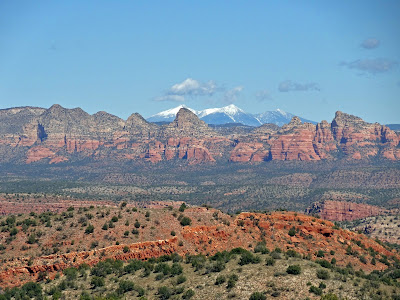
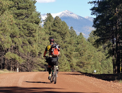
| Our first view of Humphrey’s Peak!! First snow of the season to boot. |
 |
| Flyin’ down Perkinsville Rd made it difficult to keep your eyes on the road. EV |
 |
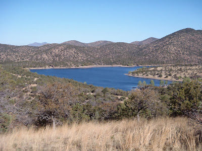
| It’s all uphill from here!! Crossing the Verde River. |
Steve descended Perkinsville Rd like a man possessed, he was below the bridge on the right when I passed. I shouted down to him that Ray had suggested a spot about 100 yds to the left for easy access to the river.
I made my way over to the riverbank and fiddled with the Steripen coarse filter setup, that was a chore putting it together!! After scooping out 1 liter of river water the bottle was ready for a blast of UV. On top of the riverbank I heard a man yell down to me, ‘are you filtering water?’ I confirmed and he insisted that I get my water supply from him, since he had 15 gallons or so for his family that afternoon. Back to the river my 1 liter bottle went and I gladly filled up with fresh water. Next, I was offered a chorizo and bean burrito on homemade tortillas!! Duh, of course I’ll take one!! They proceeded to offer me a seat, a soda and a second burrito from freshly deep-fried chicken!! Trail angels for sure. I had to pass on the second burrito, I was feeling a bit bloated and knew eating more would not go well on the upcoming 5,000′ climb towards Williams. The family let me dump my trash from my pack, I paid my utmost gratitude for the food & drink then made my way over to the bridge.
 |
| Thanks to their kindness, I was fueled & ready to go. |
 |
| Thanks for the tip on the water spot Ray!! |
I met back up with Evan and Steve, but they had already filtered water from the river and had a bite to eat. Bummer. I was ready to go, so I took off up the road knowing they would catch me pretty quickly. Steve caught up with me and we rode together for a while, but the next thing I knew I was by myself. Still feeling energized from the burrito & cola I pedaled on, climbing away from the Verde on a nice stretch of forest road. The route finally peeled off to the right on a more primitive jeep road, staying left was a more direct route into Williams.
As I found out later, both Evan and Steve made this wrong turn costing them 6 miles. Steve was running low on water, so he decided to keep going into Williams playing it safe and securing a room for the night.
 |
| A short HAB section on the jeep road was a welcomed change of pace. |
 |
| Climbing past an old mining operation, Mingus Mtn in the background getting smaller. |
I only took one short snack break on my way up to the pines. By the time I knocked out a few miles in the trees it was getting late and the temps were dropping, time to layer up. While I was getting my arm warmers on & snapping a few pics, Evan came by and told me about the wrong turn. We still had some fast miles before hitting Bill Williams Mtn, but like day 1, this day would finish well after dark.
 |
| Back in the pines, just in time for the golden hour. |
We made it to the turnoff for the Benham trail around 8pm. We were only 3 miles or so outside of Williams via paved road and let me tell you, it was very tempting to cruise into town for a meal & brew! Instead, we turned left and started up Bill Williams Mtn.
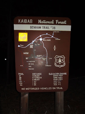 |
| Trail #38, 4 1/2 miles to the top, huh. Turns out we only needed about 3.8 to the downhill. EV |
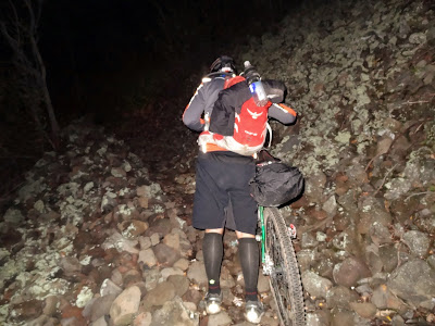
The trail started out nice enough, but soon it kicked up in grade and my tired legs were once again walking beside my rig pushing it uphill. Thankfully, the trail mellowed again and I was able to ride for quite some time, then things got steep. I began ticking down the tenths of miles as the HAB wore on switchback after switchback. Evan caught up to me and left me in the dust, I was really feelin’ it and my mind began to wander into thoughts of pizza, burgers, brews, a hot shower and comfortable bed! Then all of a sudden it went DARK, real dark. For some odd reason I decided to run my headlight on high for the ascent, not a wise choice as my battery was now dead. Fortunately, I brought both batteries for my MagicShine light. Now, in the pitch black I had to swap out the battery that was fixed onto my helmet. I dug through my pack & found my led push light to show me the way. I swapped out the battery & resumed my drudging up the mountain.
I’m sure this trail can be fun to ride on a bike not loaded down with bikepacking gear, but on this night, I had no intentions of trying to pedal much of anything. The few spots where the trail crosses the dirt road are agonizingly steep and loose. At one of the crossings a 4×4 loaded with youngin’s stopped and asked me if I was enjoying my ‘hike’, ‘yes’ was the answer and I kept moving.
We finally topped out just shy of 4 miles into the trail and I was more than ready for some downhill & this day to be over. Ray had warned me about the stairstep-like drops near the bottom, so let’s have some fun getting there! Right away I knew getting there would be a bit more daunting than I had hoped, the trail was fairly steep & the turns were awkwardly setup. An approach to a sharp turn would lead you off the trail into a drainage. The turn had to be negotiated by getting the front wheel over a 90º rock water bar before continuing on. Strange. After the first few I began to get accustomed to the goofy turns. I was cruising on a stretch between turns when out of nowhere I crossed up my bars BMX style and faceplanted hard!! What the….seems I clipped a rather large boulder with my front tire – never saw the darn thing!! A quick body/bike check revealed no damage, only my pschye. Once again, I decided to play it safe and began to HAB down Bill Williams Mtn. There were too many iffy spots that I just didn’t feel good about, the sleep monster was creeping in as it was now after 11pm. I walked for a while, then the trail mellowed and I began riding once more.
I caught up to Evan when he stopped to let a skunk have the right-of-way on the trail. We tried to shoo it off the route but the skunk wanted to lead us down the mountain for a bit. It added a bit of humor to our evening of suffering. We made it to the stairstep section, walking most of it, then finally hit the last bit of trail leading into town. That section was fun, but seemed to go on forever. We finally dumped out onto the streets of Williams to stop our stage timer at 12:10am!! Now what’s still open??? Pizza? Closed. Mexican? Closed. Ah yes, good ‘ol reliable, Circle K!! We grabbed some food for the night & next morning, sent Steve a text to find out what room he was in, took a much needed shower and finally hit the sack near 2am.
Completing this stage, in my opinion, put the toughest part of the route behind us. I was totally cooked, but knew I could complete the route. Nothing left could compare to our struggles up Mingus & Bill Williams Mtns, right?
Day 3: Williams to Flagstaff
The next morning was cool & crisp, not cold, but that was more likely due to us rolling out around 9am instead of 6am. Williams is a cool little town right on historic Route 66, probably more known these days for the Grand Canyon Railroad.
 |
| Deluxe travel options galore in Williams. |
This was going to be another long day, but had a ton of fast miles, it was nice to have a good 12 mile or so warmup leading to Sycamore Canyon.
 |
| Warming up on our way to Sycamore Canyon, we’d be on Humphrey’s Peak in the distance near day’s end. EV |
I’ve heard people refer to the canyon as Sick-of-more, but I rather enjoyed it. Sure, there is a bit of HAB at the ends of the canyon, but they’re short. In between is roughly 5 miles of flowy singletrack with the occasional tech move tossed in, right next to the rim of the canyon. How terrible could it be?
 |
| I’d like to return to check out some of the other trails in the area. |
 |
| The rim trail had some tight spots for my 29″ clown wheels. EV |
 |
| This must be an incredible spot when the water is flowing, not too shabby dry either. EV |
 |
| One of the faster sections. EV |
 |
| Evan taking it in. |
 |
| Snack break at the end of the canyon. |
We dumped out onto some double track, then graduated to a nicely graded FR for the next dozen or so miles. We were heading towards I-40 and the one re-supply spot, Texaco, for lunch and more goodies.
 |
| This is big sky country, AZ style. EV |
 |
| The change of seasons was all encompassing. |
 |
| Bigfoot crossing?? |
The general store at the Texaco was a welcomed break, it was about 30 miles into the day, just shy of the halfway point. We grabbed some lunch and kicked back on the benches outside while observing the locals milling about. Mill about they did. We had a lady bend over near the gas pumps to display her ‘whale-tail’ tattoo to us, chatted up the guy behind the counter for a bit and watched some old dude park across 3 spaces in front of the store, climb out of his truck wearing no shirt only suspenders while his hoarse lap dog tried to escape out a side window. The old fella came out of the store, stopped by our bikes, mumbled something to us…a few times, we couldn’t comprehend, then proceed to climb back into his truck, lifting the door so it would close properly before driving off. Show’s over, time to start pedaling again.
 |
| Humphrey’s Peak is getting closer! EV |
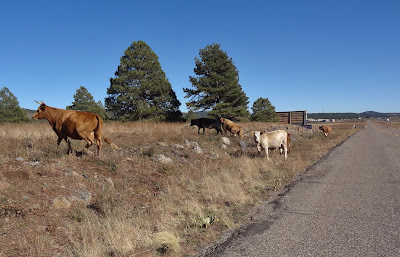 |
| The cows were reluctant to move, we were on their turf. EV |
 |
| Saw a bunch of tarantulas on route. |
At some point during the miles of forest road saddle soreness started becoming more of a discomfort. The shifting game began, find a comfortable position & ride it out as long as I could, then stand and mash the pedals for a bit re-adjust repeat. This would continue until the finish back in Sedona, only the duration of seated pedaling would shorten considerably.
We were now on the lower flanks of Wing Mtn. getting oh so close to the final climb of the day up FR151 towards the über fun downhill on the Arizona Trail (AZT). My GPS decided to cycle power for no apparent reason, I stopped & reset it, resuming the course and moved on. Didn’t think too much about it, my GoMadic external charger had been powering it most of the ride without issue. The track was loaded, timer ticking away with the miles. Up Wing Mtn. we went.
We crested the mountain after a short but steep HAB, then it was on to the Wing Mtn. Moto trails. Moto trails can be a real mixed bag of tricks sometimes. This section of trail happened to be really good. There were just enough whoop-de-doos to keep it fun, but not make you nauseous. Throw in some G-force banked turns and a little bit of climbing and this was getting real fun!!
 |
| On the Wing Mtn. moto trails. EV |
 |
| Couldn’t pass on this photo op. EV |
 |
| We caught up with Steve when he detoured for lunch, then he returned the favor as we closed in on Humphrey’s Peak. |
The golden hour was fast approaching, we all wanted to make the AZT turnoff before sunset or at least before the need for lights. We soon started up FR151 and I settled in to the climb as both Evan & Steve left me in the dust. I think we encountered the most traffic of the route on this stretch of dirt road. Hunters galore, Autumn color gawkers and people returning from day hikes, whatever the reason they were out in force. One more turnoff onto FR9215B for the last mile up to the AZT in the waning daylight.
 |
| FR151 climb. |
 |
| Heading up FR9215B at dusk. EV |
 |
| Junction of FR9215B & the AZT, time to turn on the lights & rip! EV |
We made it to the AZT as the last glimmer of light sank on the horizon. I was now on familiar ground, I’ve ridden this stretch of AZT a few times the past couple of months, most recently on a tuneup ride, Flagstaff CrAzY 90. This is one of the best sections of AZT in the state, now I get to ride it at night!! What a blast, I was getting a kick from watching Steve & Evan’s lights dance ahead of me through the forest as we descended some 2000′. Near the bottom the trail crosses Snowbowl Rd. then skirts across the mountain on fun XC singletrack. More downhill was had in the Fort Valley trails leading over to Shultz Creek, what a great finish to another long day in the saddle.
We had one more connector trail that sliced through a forested neighborhood. Evan and I were cruising along when BAM! I crossed up my bars again BMX style and took a hard digger into the trail. Once again I failed to pick up a rather large rock in my lightbeam and squared it up with my front tire. Drat. All body parts checked out, bike was ok, let’s get to the stage stop already – I’m cooked.
We finished the day at 8:37pm, finally a day under 12 hours!! My GPS started getting all wonky, constantly cycling power over and over. I just figured the batteries were getting old or too cold so I turned it off. We jumped on the paved urban path and met back up with Steve then decided to split a hotel room once again. All checked in, it was time to walk over to Beaver St. Brewery for a delicious Oatmeal Stout & burger, how devine.
 |
| 3 adults & 3 bikepacking rigs in a very small room, Evan was nice enough to sleep under the table next to the TV!! |
Day 4: Flagstaff to Sedona
I slept really well, it’s amazing what total exhaustion does to you. We got up & moving fairly early, making our way over to ‘The Place‘, the official start of the stage race. Steve took right to the trail, so we wished him well and turned our focus towards a hearty breakfast. We found a bikepacking rig leaning against the wall as we entered, it was Tom, who we hadn’t seen since camp on Mingus Mtn. We chatted with him for a bit, then he too took to the trail. By the time we finished breakfast & made our gas station re-supply it was near 9am. So much for an early start, but what else was new?
We soon dropped down onto the Flagstaff Urban Trail System (FUTS) and it almost has an underground feel to it. It’s a wide gravel path following a drainage through the city, but you feel like civilization is miles away. Flagstaff has a really cool thing going on there.
 |
| Rolling along the FUTS. EV |
I started thinking early on about how stoked I was to be finishing this incredible route today, it was going to be a shorter mileage day, no real big climbs, fast singletrack and a huge 6 mile descent into Sedona!! The initial miles were on rolling forest roads, then some rippin’ singletrack near Fisher Point.
 |
| We took a slight photo op detour so Evan could see Fisher Point. |
 |
| Ride the AZT via bonfire!! EV |
 |
| I love this spot, but soon we’d begin the climb to Anderson Mesa. EV |
We started the climb up towards Anderson Mesa, I wasn’t really looking forward to this section of trail. Reports were that, while flat, the trail is very bumpy for a few miles. This section was the main reason we decided to start in Sedona as the ground on the mesa is clay-based, absolute killer for a drivetrain when wet, read: sticky death mud!!. We hit the one moderately steep hardscrabble HAB up to the top, then hit some of the mildly bumpy singletrack leading to Marshall Lake.
 |
| Near the start of Anderson Mesa. |
 |
| Mid-morning snack. |
 |
| Marshall Lake TH. EV |
Past Marshall Lake the ‘fun’ really began. The trail was post-holed by free ranging cattle, most of it looked to be recent, into the soft storm soaked Earth. Now imagine someone walking on this trail with a giant sack filled with baseball/softball sized rocks littering the route. Perhaps this section is easier on Day 1 like intended, but at mile 210 or so, it was seriously kicking my butt in more ways than one!! Ouch. One of the few bright spots was the overlook of Lake Mary and the shrinking views of Humphrey’s Peak when we looked back over our shoulder, truly a sight to behold.
 |
| A rare smooth’er’ section of trail. EV |
 |
| Cool view of Lake Mary. EV |
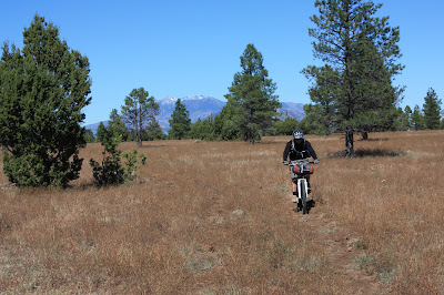 |
| Humphrey’s Peak in the rear view mirror. |
 |
| It’s ‘only’ 6 miles or so of this. |
One of the more frustrating aspects of this section for me was my inability to go faster. I was plodding along barely keeping a 6 mph average! At one point I had to stop, toss the bike aside, giving my wrists/hands/butt a break from all the jostling. I was ready to be done with soul sucking Anderson Mesa!! Bleh.
 |
| Finally dumping out onto a less bumpy jeep road. Good riddance Anderson Mesa, you’re #1. EV |
A total of 10 miles put Anderson Mesa and the rocky jeep road behind us, we were thankfully back on sweet forested singletrack! Shortly after crossing Lake Mary Rd. the batteries in my GoMadic charger finally konked out, it took me a while and a ton of digging, but I located my spare set of AA lithiums that I mistakenly bought for the SPOT (takes AAA). Now with renewed power, at least in my Garmin, we started the 8 mile or so gradual ascent along a long forgotton railroad grade.
 |
| 8″ diameter trees now grow on the old railroad bed in spots, the forest is reclaiming what was hers. |
 |
| The remnants of an old railroad bed and a good place for a snack break. |
Eventually we met up with the Mormon Mtn trail, it was rather short, but it was GOOD. A few short climbs, followed by some fast twisting singletrack! This is what we were waiting for all day. We were dumped onto a forest road, knocked out a short climb then we began to descend and descend we did. The extra weight of my bike had me flyin’ down this road so fast it was borderline frightening. I had to keep brake checking to maintain a sense of control. If this were a nighttime descent you could have seen my brake pads glowing, I’m sure of it.
We were finally ticking off fast miles, but we had one more turnoff near Munds Park, for one final short climb up a secondary forest road. We were really hustling now, trying to make the Sedona overlook & hopefully some of the final descent before darkness settled in. While we were making good time on the forest road, Evan gapped me on a short ciimb & he was gone. All of a sudden the turnoff appeared on my GPS, no Evan. I was ready for one last snack before the final push, so I kicked back for a few minutes in hopes that he just blew by the turn, found his error & would return. Evan had been doing the whole route solely by the cue sheets and when we were together, my GPS. I was just about ready to move on when he rolled up. He only went about a 1/2 mile past the turn before figuring it out.
 |
| One final snack before heading up the last climb. |
I think we were both ready for the ride to be done at this point. I really wanted this climb to be over quickly and luckily it was. The top was rough, rocky, rutted, even muddy in spots, but then it opened up and more downhill insanity ensued. Next thing I knew there was a sign ‘I-17 1/2 mile’, cool. We were now on Schnebly Hill Rd, our last forest road to the overlook!! The sun was getting low on the horizon and just our luck it was setting directly in eye’s view of the road. It was a blinding downhill and we only saw a couple of vehicles thankfully. Schnebly held a few tricks up her sleeve, two hiccups in the downhill slowed our pace as the sun dipped lower. A few minutes before the sun set we reached the popular overlook area, finish line in sight!!
 |
| Sun setting behind Mingus Mtn. |
 |
| I was a little bummed we missed this as our Day 1 camping spot with the staggered start. |
I wasn’t watching my GPS closely enough & led us down Schnebly a little bit before realizing we needed to backtrack from the overlook UP to the Hot Loop which then leads us to the official camping spot for Stage 1. We took the 50 yard detour to check it out, what a spot, must’ve been great for the group on Oct. 5th to wake up in this location. Next year.
We accepted the fact that we’d be finishing yet another day in the dark. I was a bit concerned about my light battery. I had been using my second battery for a lot of the night riding, but it was still showing 50% power. We readied for the descent down the Munds Wagon trail and took off.
 |
| Sedona from the top of Munds Wagon trail. EV |
I have to be honest here, I wasn’t looking forward to doing this descent in the dark. First time on this trail, the elevation profile made it look stoopid steep, I had heard it was rocky/loose in sections – my favorite, and I was just exhausted after 4 days of hard riding. I kept waiting for the trail to get really steep, it never did. There were a few spots where I could tell by the darkness to my left there was a substantial dropoff, just focus, keep riding. Soon after starting down I was regretting putting my jacket on, it was getting toasty as we lost elevation. I didn’t want to stop to take it off either. Four miles or so down the trail it seemed to bottom out.
 |
| Fun slickrock areas. EV |
We rode a series of drainage crossings and then it happened. We rode out into a trailhead onto the bottom paved section of Schnebly Hill Rd & one more final super fast descent to the Oak Creek bridge, the junction with hwy 179 thus completing our ride!! Woohoo!! We did it!! No one was there to greet us, no ribbons, no PA announcer, but there was beer across the street!! Oak Creek Brewery here we come.
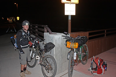 |
| Evan all smiles, great riding with you!! Well done!! |
 |
| Somewhere in there I’m exhilarated. EV |
We had planned to ride back to the cars about 2 miles up the road before getting some grub, but they were about to have their last seating of the evening, so in we went, funk and all. I had a mighty fine tasting nut brown ale, well deserved if I do say so myself.
A few other notes from the event.
- I was on & off my bike so many times I perfected the ‘Viscacha dismount’, even the Russian judge gave me high scores!!
- Thanks to Chad and Scott for putting together such an incredibly challenging yet rewarding course, this really is the crown jewel of the Arizona Endurance Series.
- Ray, thanks for all your trail intel from the week prior, I used almost all of your advice – except the part about starting early everyday!!
- Definitely a huge thanks to my wife, for putting up with my silly riding obsession. Your support means everything to me!!
- As of this writing, it appears my light battery that konked out on me during the Bill Williams HAB actually is dead. Time for a replacement.
- It’s now been 11 days since finishing, I almost have all my feeling back in my toes. They didn’t bother me during the ride, but starting the day after the ride my toes had a slight numbness / tingly sensation. I’ve since adjusted my cleats on my shoes to change the pressure points on my feet.
- No mechanicals, only a dirty chain from the bit of mud early on in Sedona.
- Gear worked great, just need to fine tune & lock down my sleeping bag position. Slight gear casualty, my compression sack has a small tear in it most likely from one of the two crashes.
- My Garmin Edge 705 that was cycling power near Wing Mtn ended up having a file glitch. The stats were all recorded, appear to be correct, but the track straight-lined from the spot where the power cycled to the next spot riding into Flagstaff. Weird.
Final stats:
252.31 miles
22,446 feet of elevation gained
Official time: 52:37 (hh:mm) good for the lantern rouge!!
Thanks for reading & checking out the blog. Until 2013, ride long, ride strong.
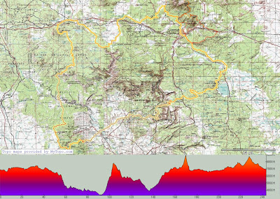 |
| AES – Coconino 250 Stage Race route. |
Here’s a link to the full set of pics:
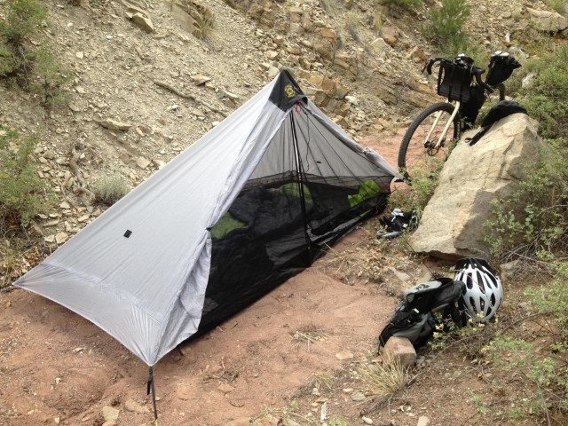
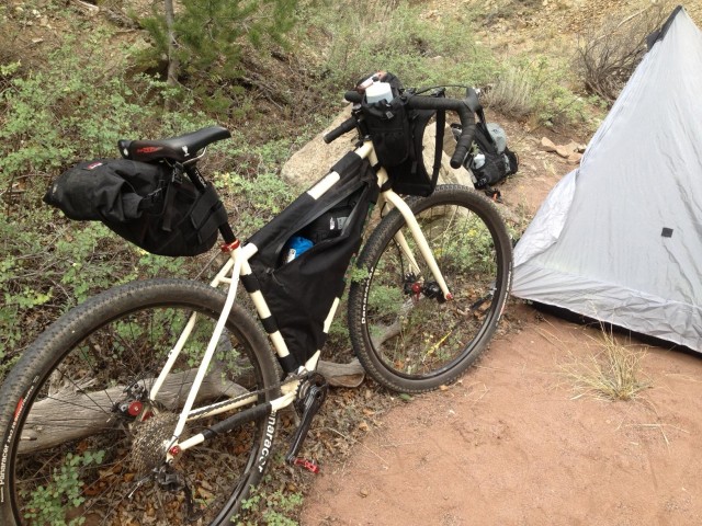
A quick overnight trip near Salida colorado to test out some new gear
The Six Moons Designs Lunar Solo tent worked great and packs very small
My custom Bolder Bikepacking Gear frame bag allowed me to carry more stuff than needed, I even had room for 3 Dales Pale Ales
Singular Gryphon 1×9
Revelate Designs seat bag and harness
Bolder Bikepacking Gear custom frame bag
Wingnut Backpack
September 4th, 2013 in
Personal setups |
2 Comments
Bikepacking is really starting to gain in popularity. It seems like more and more riders are interested in what it has to offer, but often times are afraid to pull the plug on that first outing. Brian, Bob and I tossed around the idea of hosting a bikepacking ride aimed at getting first-timers out on the trail. We thought the trails up on the Mogollon Rim, north of Payson, would provide just what we were looking for. Great views, a mix of forest roads, singletrack and solitude. Cool temps wouldn’t hurt either!!
Brian was getting swamped at work, so I poured over some of my GPX files and put together a route with some different exit options for day 2. In general we’d be riding the rim rd, FR300, east to the Cabin Loop system, camp there, then return either the same way or some other combination of Arizona Trail / Forest Rds.
We spread the invite to any and all who wanted in, the response was very good and by the time we lined up for takeoff there were 10 riders, 9 of which would do the full bikepack.
Brian and Bob took Friday off work and were up on the rim early scoping out the area for a better camping spot. I took off just before 4p as soon as I posted the updated camping coordinates for anyone else who was joining in Friday. The entire way north I was on the tail of a rather large thunderhead, but my windshield escaped…still dry as a bone.
 |
| Sad to see, this eclectic collection of bikes in Rye, AZ burned to the ground a few weeks ago. |
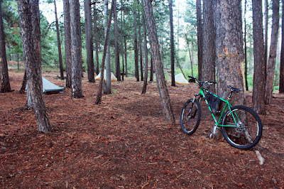 |
| Our camping spot for Friday evening, close to the rim’s edge. |
 |
| Friday’s twilight had a Smoky Mountain feel to it. |
Friday evening was absolutely beautiful, temps were in the 50’s under a starry sky. Dave and Doug met up with us just as darkness fell.
The next morning we had plenty of time to eat breakfast and pack up camp before heading the 2+ miles back to our meetup point for the rest of the group. By 9am we were just about ready to get rolling.
I went around and took pics of everyone’s setup.
 |
| Doug ready for a nice out-n-back ride. |
 |
| Dave had tons of gear, but some cool methods for attaching stuff. 1st time bikepacking. |
 |
| Arturo winning friends the old fashioned way…DONUTS!! 1st time bikepacking. |
 |
| Bob and his slick Spearfish with Revelate framebag. |
 |
| Brett rockin’ the belt drive singlespeed!! 1st time bikepacking. |
 |
| Brian and his hometown Pivot. |
 |
| Stylin’ the Voodoo per usual. This bike has seen some things. |
 |
| Alan and his ‘don’t call me fat’ Krampus! 1st time bikepacking. |
 |
| Another singlespeeder, Tim, with his über light Niner. |
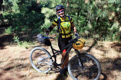 |
| Ashley traded in her roadbike for a bikepacking experience!! |
 |
| Group mugshot. |
Our route started at the FR300/FR218A split just off AZ87. It’s a fairly mellow cruise among the pines, some ups, some downs, but nothing crazy steep. A few miles into the ride a couple of brazen chipmunks tried playing Frogger with the group. The first fella made it across the freeway, the second guy was clipped by Ashley’s rear wheel and did a double somersault before sticking the landing and bolting into the forest!! It was quite the acrobatic display that unfolded in front of me, if only I had a GoPro at that moment!!
 |
| Rolling down FR218A. Photo by Dave. |
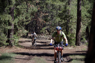 |
| Bob and Brian thinking of a beer stash ahead. Photo by Tim. |
 |
| Arturo cruising into the first overlook area. |
 |
| Trees & views for miles. Photo by Doug. |
We continued our trek east on FR300, stopping a few times to check out the wonderful views. There was hardly any traffic on the rim road too, so that was a nice bonus.
 |
| Another fine stopping point. |
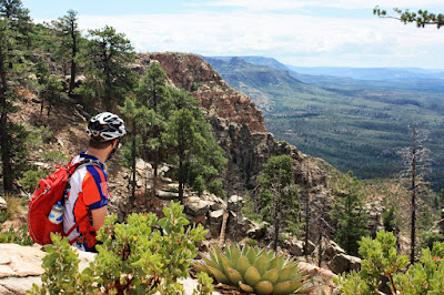 |
| Arturo soaking up the views. |
 |
| Brett could hardly contain himself! |
 |
| Into the pines. |
 |
| Gliding for hours on the thermals. |
A couple of hours into the ride we arrived at the AZT junction and the start of the Cabin Loops. Singletrack!! We took a short snack break then headed north to the land of ferns.
 |
| Brian making his way down the Fred Haught trail. |
 |
| A glimpse through the trees. |
 |
| Tim staying focused on the trail. |
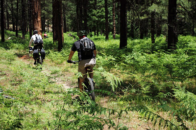 |
| Land of the Lost?? |
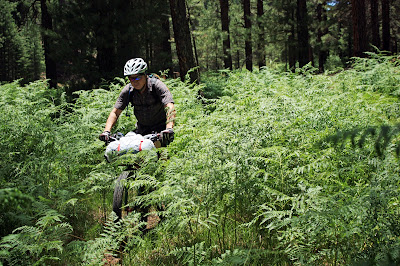 |
| Shoulder high ferns kept us guessing the trails path sometimes. |
 |
| I’m not sure why people don’t frequent these trails. |
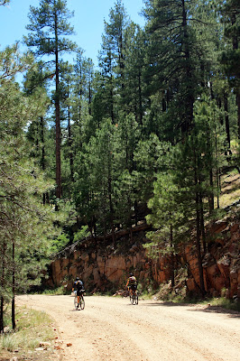 |
| Big views, big trees. |
We had almost reached our camping destination at Pinchot Cabin, but there was one stop we had to make. Brian and Bob came up with a brilliant idea to stash some beer/gatorade/water under some rocks in the small creek near camp. We kept it a secret until we showed up, making the others dig out their beverage of choice from the cool waters. It seemed to go over quite well!!
 |
| Beer me!! |
 |
| Brett’s belt drive singlespeed. Macho. Photo by Arturo. |
Earlier on the ride we yo-yo’d with a small group of hikers who were on their way to Aspen Spring to camp, we joked with them about racing to the camping spot. They were a bit relieved to find out we were camping about a mile down the trail at Pinchot Cabin.
We rolled into camp, picked out our tent sites and set up camp. We also ditched our bikepacking gear before continuing onto the Houston Brothers trail for an 8 mile out-n-back ride. Four miles of gentle climbing then four miles of ear-to-ear grinning descending back to camp!!
 |
| Tent city. |
 |
| Pinchot Cabin. |
 |
| Background history. |
 |
| Start of the Houston Brothers trail. |
 |
| Nice water source for filtering. |
 |
| Bob exiting his log ride. |
 |
| Cool animation that Picasa threw together for me. Crossing Aspen Spring. |
 |
| Source of Aspen Spring. |
 |
| Aspen Spring Cabin. |
 |
| Arturo on the rock bridge. |
 |
| Remnants of Aspen Spring cabin. Photo by Tim. |
While on Houston Brothers the clouds began to darken, we knew what was coming. Back at camp a bunch of us started filtering water for the evening when the first raindrops fell. I was glad to finally be able to use my filter on one of these bikepacking trips, it worked quite well with the slow running creek. The rain picked up and most of us took refuge in our tents. My tent in particular, a Tarpent Contrail, isn’t exactly waterproof, but I knew that when I bought it. Just above the floor tray the tent has about 8″ of mesh before the upper canopy. The rain was now dumping in buckets and I needed to help prop the ceiling up to aid in drainage, but for the most part the water stayed outside. We also had a bit of hail mixed in for good measure.
I could hear Tim outside running around and having a blast in the rain. The rain event lasted about 25 minutes, then it was time to cook up some dinner. I made a few adjustments to the tent then prepared my warm meal for the evening.
 |
| Lonely bike in the woods. Photo by Arturo. |
 |
| Tyvek Man!! Photo by Arturo. |
 |
| Cooking up a gormet feast. Photo by Arturo. |
 |
| Dinner time on the Pinchot Cabin porch. Photo by Tim. |
 |
| Four aspen trees tucked into the forest. Photo by Tim. |
 |
| Light painting fun with Ashley. Photo by Tim. |
 |
| Bikepackers by LED. Photo by Tim. |
We crashed out around 9pm and I was able to get a good nights sleep. The next morning we were stirring shortly after daybreak. It was overcast & muggy, but cool. I think we all had a feeling that we’d be riding in the rain on this day. We ate breakfast, packed up camp and started back around 9:30a. We took a short forest road option around a HAB section of trail with a couple of the guys opting to stay on the forest roads all the way back. The rest of us continued on to the junction with the AZT. From there Arturo, Tim, Ashley and myself opted for the AZT option while the others took the trail back out to FR300 for the return.
 |
| Brett mashing up a climb. Photo by Arturo. |
 |
| The gang heading out. Photo by Arturo. |
 |
| AZT junction with the Fred Haught trail. |
 |
| Alan, Bob & Brett deciding which way to go. |
 |
| The first of two sustained HAB sections. Photo by Arturo. |
The HAB gave way to some nice singletrack and a bit of forest road. The others didn’t seem to mind that HAB section, why not see if they want to stay on the AZT all the way out to AZ87? This option would give us more singletrack, the entire Blue Ridge Passage #28 of the AZT and we’d then finish on rolling pavement back to the cars. I presented the option with the caveat of the second more daunting HAB out of Blue Ridge reservoir. The others quickly agreed. We soon made our arrival at the bottom of the dry creek bed below the reservoir for lunch, storm clouds brewing the entire way.
 |
| What?!?! No mountain biker on the sign!! |
 |
| Ominous storm clouds nearby all afternoon. |
 |
| Bottom of Blue Ridge. |
 |
| See, everyone enjoys a good HAB session once in a while! |
 |
| Ok, maybe not everyone. |
 |
| I was perched at the top of the HAB enjoying the show. Photo by Arturo. |
 |
| You are here, smack dab in the middle of Arizona. |
 |
| High meadow crossing. Photo by Arturo. |
 |
| Tim enjoying another slice of AZT. |
 |
| Yet another underrated piece of AZT. Photo by Arturo. |
 |
| It’s a jungle out there! Photo by Arturo. |
 |
| Cooling off at the Blue Ridge Campground. Photo by Tim. |
 |
| The final four at Blue Ridge Campround. Photo by Tim. |
 |
| The final stretch of singletrack to AZ87. Photo by Arturo. |
Somehow we managed to stay dry all day except for one short light shower, prompting us to don our raingear for 15 minutes. Riding through the forest to the distant thunderous rumblings has an almost surreal feel to it. Knowing the not-to-distant trail is scolded by Mother Nature while we ride on unaffected.
I was trying to give my best guesstimate of how far the pavement ride on AZ87 was back to FR300. I thought it was in the neighborhood of 8 miles, when in fact it was 9 miles just to Clint’s Well, then another 8 or so miles to FR300. I was feeling good and settled into a nice rhythm on the pavement. At the top of the first climb I found myself alone, a quick glimpse to the sky told me to keep moving.
 |
| At the Clint’s Well gas station. |
 |
| About a mile to go here with a light rain beginning to fall. |
 |
| No worse for wear after another fun trip. |
I stopped at the gas station in Clint’s Well where the attendant told me the store lost power after being struck by lightning earlier in the day. I picked up a chocolate milk & Pepsi and looked down the road for signs of the others. A few minutes passed and I decided to keep moving to stay ahead of the storm.
A second rather stout climb greeted me a few miles down the road I was grinding it out near the top when a pickup truck whizzed by with Arturo in the back!! He looked really drained, I yelled out to him, but he was gone. A few minutes later he appeared, back in his car, heading back down the road to pick up Ashley & Tim. I finished out the ride, changed, and a few minutes later the gang showed up. The four of us made a quick sprint down off the rim to Pine for some grub at That Brewery. I finally was able to try out the Arizona Trail Ale, pretty good stuff. A portion of proceeds go back to the AZT, how cool is that!! Drink a beer, get some trail.
 |
| It’s That place! |
 |
| Another great outing in the books. Photo by Tim. |
This was such a fun weekend, I’m planning a second one!! From the post-ride chatter, everyone had a blast and the first time bikepackers are hooked!!
Here is the route the last four of us did.
The full photo album from multiple points of view.
This is my setup to ride the CO Trail in 5 separate 4-day sections with my first ride later this week. I just started mountain biking this Spring, and this is my first bikepacking trip, though I have a lot of experience lightweight backpacking. I did not want to spend a lot of money on specialized gear, so the only piece of bikepacking specific gear that I have is a Revelate Designs seat bag. Depending on how this weekend goes, I may purchase a custom frame bag to help distribute some of the weight on my bike better. Everything was a tight fit to get in to my two bags, so I am sure that if I was to plan anything longer than 4 days at a time, I would need some more storage space. As I am very new to bikepacking, any recommendations on what to take for bike maintenance or spare parts is much appreciated. The only other piece of cycling gear that I feel would be good to have is a spare chain, but with only being out for 4 days at a time, this is weight I feel I can do without.
My bike is a Motobecane Fantom 29er. Everything on my bike is stock except my Ergon GS2 grips, and my rear wheel (someone stole my rear wheel, and I upgraded to a Stans Notubes ZTR Arch EX rim when I replaced it).
In the seat bag:
1 spare tube
Set of tire wrenches
patch kit
Black Diamond Mega Light Shelter w/ lightweight Nano stakes
7′ x 2.5′ piece of Tyvek ground sheet
Marmot 15 Degree Down Bag
Long underwear top and bottom
Camp Socks
Beanie
In the backpack (Osprey Talon 22):
REI inflatable sleeping pad
rain jacket
camp shorts, Patagonia hooded down sweater, and a Patagonia wind jacket in a light weight 15L dry bag
100 oz water reservoir
Mega Light carbon pole
Bike Tool
Leatherman
Sunscreen
Small First Aid Kit – bandages, ibuprofen, sewing kit, moleskin, etc.
Aquamira water treatment
Light toiletry kit
Headlamp
GSI Minimalist Cook Pot
MSR Pocket Rocket Stove w lighter
1 8oz can of Isoprol fuel
Snow Peak Titanium French Press (The one luxury I cannot live without!)
Bike pump
Map
Garmin etrex 20 (On my bike)
Food (6-8 lbs for 4 days)
Flipflops for camp
Cell phone

We set out locally on a quick overnight just to test some gear. Brutal hot day, lots of cramping for one particular rider who will go un-named.
Overall I’m pretty happy with this setup though I’m trying to figure out how to carry more water on the bike and maybe not on my back. The bike did great, this is why I went steel.

The Bike
Ritchey p29 with Shimano XT, Stanz wheels and some Loaded Precision components.
– Two bottle cages (one only fits a shorty because of frame bag)
– Small Lezyne pump mounted to frame
The Gear
Inside Seat bag – Revelate Designs Pika
– Big Agnes Horse Thief 35 degree bag.
– Tarp Tent – Contrail(I forgot the stakes so I had to use as a bivy)
– Snow Peak Titanium Cup and Spork.
– MSR Pocket Rocket stove.
– Small can of fuel inside cup.
– Tshirt, Shorts, Long sleeve layer.
Inside Frame bag – Revelate Designs Tangle
– Small First Aid
– Towel / potholder
– Baby Wipes (refreshing to wash the salt off the face)
– Petzl e+LITE Headlamp
– Black Diamond Voyager Lantern
– 29r Tube
– Tools: Crankbrothers Multitool with chain break, Master link, Patchs, Zip ties.
– Tarp Tent poles:
The contrail comes with two tiny poles for the back corners. It’s intended to be pitched with the use of a treking pole but I contacted them and ordered a collapsable pole for the front. This would have all worked brilliantly had I not forgot the tent stakes.
– Letherman Squirt
Front
– Garmin Edge 500
– Coffin thermarest (this slips inside the Big Agnes which has no down on the bottom. Love this system)
Backpack (don’t remember what kind)
– 3 Liter of water
– Carried an additional liter in the bag after our final water fillup (no water near camp)
– Various riding food: Good Spread Peanut Butter, Stinger Waffles, Shot Blocks
– Mountain House Backpacking meal (the sodium content is off the charts)
– Instant Oatmeal pack
– Some nut / trailmix
– 2 packs of EmergeC
What I would change
– I would remember the tent stakes.
– Add a Tyvek ground cloth to save my tent floor and sleeping pad.
– Would like to get more water on the bike. Thought about having an under-frame cage mount but that would mean drilling the frame (measure three times, drill once). Might consider fork mounted bottles if it works, would love to hear if any has a magic way to mount these so they don’t come loose.
– For the front I might add a Thule Pack ’n Pedal™ Sport Rack. My friend Matt who came on the trip had those front and back on his single speed and it works brilliantly. Could mean getting everything on the bike and not having to wear a pack which I hate. This would also allow me more space for multi-day trips when I do need to wear a pack.
– Would figure out a meal that doesn’t taste like a bowl of salt.

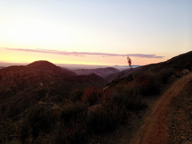

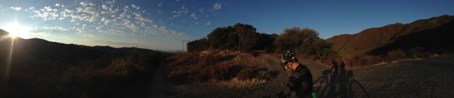

Overview
Ride Along the Divide, or RAD, is a new route through Colorado’s Alpine that maximizes the high altitude experience. It is described in a book by Jeff Nussbaumer.
Quote
“Whether on a new or old beat, trail blazing is an art form immersed in wild conquest of the unknown. Just as Lewis and Clark went great lengths to discover the richness of America, so does the fat-tire-freak make new tracks on rarely used paths in the endless pursuit of rediscovering remote lands.”
GPS Data
There is no GPS data for this route, but it is fully described in the book, with maps and descriptions:

Website
radtrek.com, where the book is available for purchase.
August 6th, 2013 in
Routes |
2 Comments
The Australian Bicentennial National Trail (BNT, some times called the ‘Big Nasty Track’)
Distance 5,330km (3,310 miles)
Height gained 93,789m (307,700′)
Rideability 1 to 9 It does cover a vast distance of varied terrain!
Single track <5%?
The BNT was initially an idea to make a horse trail emulating the lifestyle of drovers who had once frequented Australia’s stock routes, and it was called the National Horse Trail. As such it has campsites about every 25 km that have water and grasses for horses, it was though that a rider with two horses (one ridden the other as a packsaddle horse) would be appropriate. It broadly follows the Australian Great Dividing Range from Healsville near Melbourne in the south to Cooktown above Cairns in the north. The southern parts are steep with snow in the winter (and road closures then). In the peak of summer temperatures can be very hot with the threat of bushfires and fire bans making cooking impossible if not unwise.
The trail does not frequently pass places where food resupply is possible, so carrying supplies or having mobile support is a must. Water should be treated before consumption (unless it is tap water in towns). The trail uses both public and private property. The BNT organization sells guidebooks (only to members) that detail the trail in both map and detailed written directions, the permissions that have to be obtained and how to obtain them and other helpful things. The GPX file located here has been obtained from various public sources and will contain inaccuracies and out of date routing, it is here as a rough guide ONLY. To obtain the correct path and the details needed to use it you must join the BNT organization and buy the relevant guidebooks. Sometimes even the guidebooks need updating and so contacting the relevant section coordinators (in the guidebooks) immediately before starting is a good idea.
Later on the BNT was opened up for walkers and cyclists. Few people tackle the entire length of the BNT, usually shorter sections are taken. The best sections may be in Guidebooks 9 and 11 in terms of dramatic scenery. Some sections of the BNT have alternative paths for cyclist in recognition of the toughness of the original BNT path, a horse and rider can swim a river and climb a loose rocky hill that a cyclist with luggage would find extremely difficult. Grades of over 30% can be encountered.
Links
BNT Organization http://www.nationaltrail.com.au/ FAQ, membership, guide books etc
BNT Facebook https://www.facebook.com/nationaltrail chatter, trip reports
Reports
Queensland http://thenorrisfiles.blogspot.com.au/search/label/Bicentennial%20National%20Trail%20Guidebook%20No.%207%3B%20Killarney%20to%20Ebor
Victoria https://www.crazyguyonabike.com/doc/?o=1&doc_id=8146&v=1Nb
Snowy Mountains https://www.crazyguyonabike.com/doc/?o=1&doc_id=8470&v=jk?
Map discussion
http://www.bicycles.net.au/forums/viewtopic.php?f=5&t=49462
August 2nd, 2013 in
Routes |
2 Comments
7/4/2013 – 7/11/2013 Aaron Gardner and Mike Barklow
“That does sound like a lot more fun……” Mike said while sipping his Coke. It was February earlier in the year and we were discussing plans for a summer bike-packing trip. We had originally planned on the Colorado Trail, but once I started looking at the trail stats and nightmare logistics my confidence was waning. I had only done one long ride before and that had taken a toll on me with overuse injuries lingering for months. The Colorado trail seemed like it would be biting off too much, so I proposed the Oregon 3-rivers trip I had read about on bikepacking.net.
The primary inspiration for this ride came from 2 trip reports: The Oregon 3-Rivers trip by Scott Morris and Paul Lacava’s epic one day ride from Bend. By combining the 2 routes we had what seemed like a natural tour. Just the right length, and containing more single track than I would have imagined possible. With only one missing piece (how to get back to Bend from the McKenzie) we set the dates and started researching.
We arrived in Bend in the afternoon on the 4th of July. Of course there was lots going on and we were relieved that Pine Mountain Sports was still open. We were rummaging through the maps when an employee (Paco) came over and offered help. We told him our plans and he immediately stoked our fires with his enthusiasm. I had stitched together a path of fire roads back to Bend from the McKenzie and Paco very politely showed us a better route. His advice ended up being dead on just like his knowledge of all of the trails on our trip.

We left our car in a parking garage and were on our bikes by 7. Starting on the Mrazek trail, we gradually flowed upwards rolling around corners and through tight trees. We both commented on how quickly we had transitioned from urban concrete jungle to forest solitude.
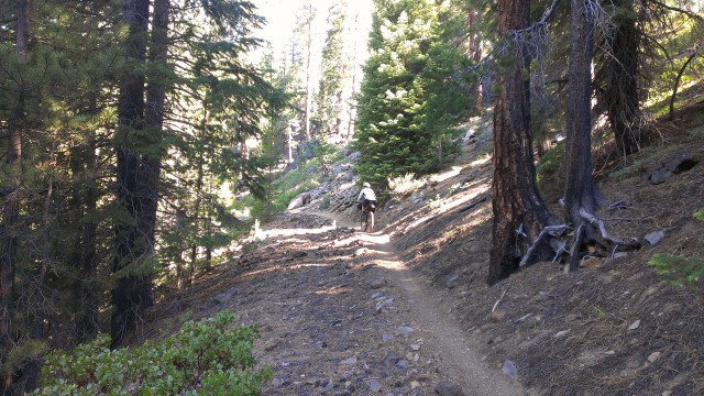
Around 8am we passed our first person who said she cleared all of the spider webs on trail above us. About 20 minutes later Mike proclaimed she hadn’t come this far….
Before we knew it we were at the junction with the Metolius-Windigo trail. Just past the trailhead we met a nice lady who saw our bags and asked what we were doing. We told her and she mentioned her husband had recently done a similar tour with only a bivy-sack and it had rained the whole time. “When he got back he said he felt like a used condom!” she said. Quote of the trip so far!
The Metolius-Windigo kept climbing and it was not surprising when we hit snow. Luckily for Mike he was on his Fat bike..
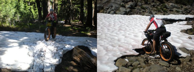
Eventually we made it to our high point of 6700 feet and started wrapping around Mount Bachelor through lava fields and old burn areas. The trail was a little sandy but not bad.
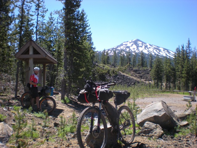

At this point I had the maps on my bike and was navigating. Maybe it was because it was the first day and we were so excited, maybe it was because the trails were so fast and flowy despite climbing, but I had severely underestimated our progress. When we arrived on the shores of a lake, I told Mike I thought we were at Hosmer Lake. We ran into some hikers who asked if we came in on the Edison-Lava trail. I said “you are way off” we are clear up here pointing at the map. One hiker looked at me funny “Umm, this is Lava Lake”. Mike got some good milage out of this one (as he should), repeatedly telling me he thought we were at Hosmer Lake.
We cruised down a few miles on the Cascade Highway and jumped on a double track at Cultus Lake. After a few miles we jumped on the Charlton Lake trail which seemed more challenging with a few downed trees and steep, yet short, climbs. It was close to Charlton Lake we met our biggest nemesis for the duration of the trip….. Mosquitoes.
We cruised down to Waldo Lake and jumped on the east Waldo trail. Fun swooping descents and moderate climbs had our energy levels back up after a long day. Mike ran over a stick and I watched from behind what can only be equated to seeing a car crash in slow motion. The stick rolled up and into his derailleur which then rotated off of his frame…. “buzz kill” Mike said. Mike quickly rigged his drivetrain as a single speed while we slapped muzzy’s.
An ill fated attempt to get water at Waldo Lake (the mosquitoes made it almost impossible – even with a steri-pen) and we were on our way down to Gold Lake. The Gold Lake trail was a fast buff downhill. We decided to camp at Gold Lake despite the cloud of mosquitoes following us everywhere. I sure was glad I had a tent to hang out in….
Leading up to the trip I had gone in circles trying to decide on a shelter. A bivy sack in Oregon didn’t sound fun (I’ve had too many rainy nights in them). I have an old mountaineering tent that is on the heavy side and not very compact. Researching other tents became frustrating, plenty were light but they all packed down to about the same size which was not very small. At last I found the perfect compromise, the NEMO GOGO Elite (The photo of it packed in a nalgene bottle hooked me) Problem was, it was out of stock…. everywhere. A special thanks to Scott at Fitzgeralds Bicycles for digging through his suppliers to come up with one and for the sound advice on all of the awesome Revelate bags.
Day 1 – 75 miles
The next morning I awoke to that old familiar feeling. Kinda like one of Tony Sopranos henchmen had beat me mercilessly with a bag of oranges… We coasted 26 miles downhill to Oakridge on the Willamette highway. When we passed a runaway truck ramp, Mike couldn’t resist testing his fat bike again….
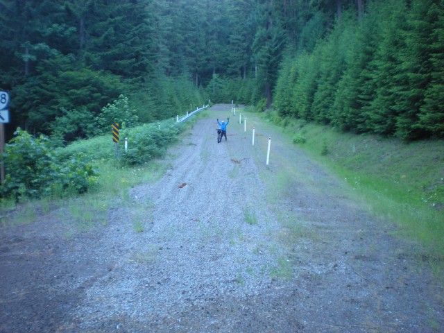
Once in Oakridge we went straight to Mountain Mercantile (great shop) where they quickly fixed up Mikes bike with a very clever Problem Solvers Derailleur Hanger. A quick refueling stop at Ray’s and we were on our way.
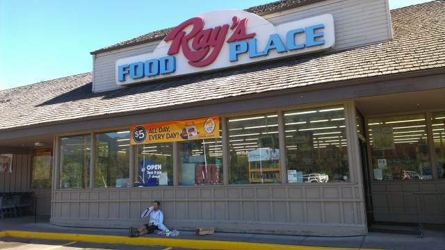
A few miles of highway along Hills Creek Reservoir and we were on the Middle Fork of the Willamette. The Middle Fork trail started fun with twisty low angle single track. It ended like a bad dream you can’t wake up from. About 20 miles in, with 15 to go, the angle starts to get steep, the trail deteriorates, and the skeeters get downright diabolical. Towards the top it was a full on panic driven flight for life with switchbacks too steep to ride. My jersey was covered with dime size splats of my own blood. Mike was a little more prepared….

Finally at the top we hopped on some double track and found out that Oregon mosquitoes really can fly at 10 mph. I’d like to say it was that we were so strong that kept us going that night. But really as Mike put it “mosquitoes are the best cowbell ever”. Eventually with the lights on we made it to Lemolo Lake for the night.
Day 2 – 85 miles
In the morning we rode over to the Lemolo Lake Lodge for breakfast. The kid behind the counter told us the buffet was “all we could stand”. I don’t think they saw us coming, we were ravenous. I felt a little bad cutting into their bottom line, but Mike and I each downed 3 full plates of bacon, eggs, pancakes, french toast, and biscuits and gravy. We stocked up with a few things from the lodge store and headed out towards the most anticipated (at least for me) trail of the trip.
It’s hard to imagine a better trail than the North Umpqua. Fast flowing descents, jaw dropping exposure, buff loamy soil, old growth trees, pristine river water…… the entire day was pure bliss. 50 miles of heaven. If you consider yourself even a remotely serious mountain biker you have to ride this trail before you die.
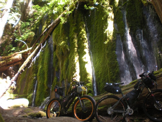
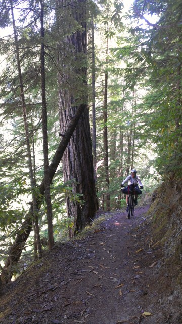
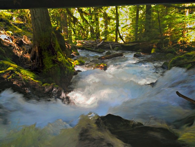
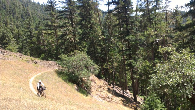

Mike driving a 6 inch stick into his tire didn’t dampen our spirits in the least.
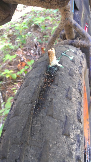
We had planned on dinner at the Steamboat lodge but it was closed by the time we arrived. Instead we dined on day old used-to-be-frozen hot pockets and cleaned up in Steamboat creek. Steamboat creek must have some hot springs feed it because it was bath water temps.
Day 3 – 50 miles.
In the morning we rolled down the street to the Steamboat Lodge for breakfast. Really classy place, a high end fishing destination. The food was top notch -everything was fresh and delicious.
With good food in our bellies we headed towards Oakridge on the steamboat highway. With only an occasional logging truck, we had the road almost to ourselves. Beautiful scenery made the ride go fast but there was something in the back of our minds since we were going up to high altitude again…..
With an ominous spot on the map we were shaking in our pedals… but they never materialized.
We did however ride through an active logging operation. With chainsaws buzzing in every direction, log skidders and cranes on the road, we didn’t pause for pictures. It was interesting to see the operation though since they were not clear cutting. From below the area would look forested still because of the selective way they were thinning the trees out.
Shortly, we were at the high point of the road and dropped quickly down towards the last 10 miles or so of the Willamette Middle Fork trail. On highway 21 we discussed how unmotivated we were to leave Oakridge once we got there… Motel time!
Oakridge is a great town for bikers on a budget with plenty of room options for around $45 a night. Once checked in we headed to the Brewers Local for dinner. I knew this brewery was legit when I saw 6 beers on cask. It really wasn’t even a fair fight. With my metabolism in high gear I quaffed down some delicious Best Bitter which hit my blood stream in a hurry. The beer really complemented the cheeseburger, sweet potato fries, and quesadilla too. Great place if you ever find yourself in Oakridge.
Day 4 – 52 miles
We rolled out of Oakridge and through the old mill town of Westfir. Then across a cool old covered bridge still in use.
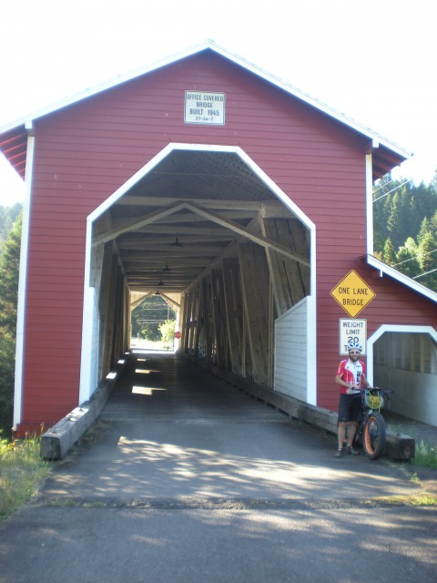
Here we hopped on the Willamette North Fork trail. This trail was ok, but didn’t really excite so close after the North Umpqua (I’m ruined). We came across some nice folks doing trail work who were bike tourers. Their enthusiasm in seeing us was off the charts. After swapping story after story we finally kicked ourselves into gear again before we got stuck in Oakridge another night with this nice couple.
Just before we hit the Auferheide highway again Mike got another flat. He instantly regretted not buying the oversized fat bike tube Mountain Mercantile had in stock. Rather than risking a tire disaster, Mike decided to ride the 10 miles back to Oakridge. I went on my merry way up the Auferheide with the agreement that Mike would catch up to me eventually (Mike is one of the strongest riders I know). It only took him 30 miles. I thought I was going fast. Mike rode 50 miles on a fat-bike to my 30 on a 29er and wasn’t even that fatigued when I saw him again…..
From the top of the Auferheide we dropped down to the north along the South Fork of the McKenzie eventually riding around Cougar Reservoir.
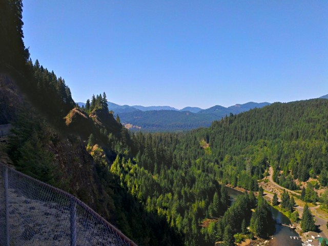
A quick downhill took us to the highway 126 which had more cars on it than we had seen in 4 days. It was also hot. Very hot. We needed the perfect pick me up. Ice cream and meat-on-a-stick!

After eating 1500 calories each, we braved the road with the McKenzie in our sights. At the trailhead we gladly hopped onto SWEET singletrack. The transformation was almost instant. Just seconds prior it was 95 degrees with high humidity and trucks blasting past us. On the trail with the old growth trees shading us it was 10 degrees cooler and all we heard was the river.
The lower part of the McKenzie is really fun, even uphill. We both started to get the giggles again on the fast arching curves. Perfectly groomed, buff singletrack – thoughts of being tired or bored were gone.
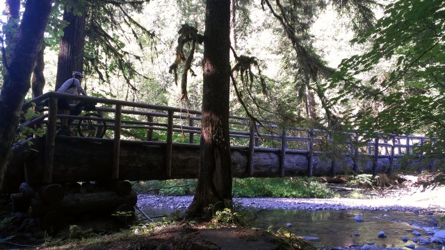
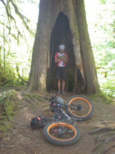
We stopped at Trail Bridge Reservoir for the night since the trail gets steeper upriver. We laughed about how good the trail is and dined on our frozen burritos.
Day 5 – 105 miles
Since we were doing the rest of the McKenzie as an out and back, we ditched most of our gear and headed upriver with high spirits and light(er) bikes. The trail did not disappoint with challenging lava-rock sections, short climbs and of course more flowing twists and turns.
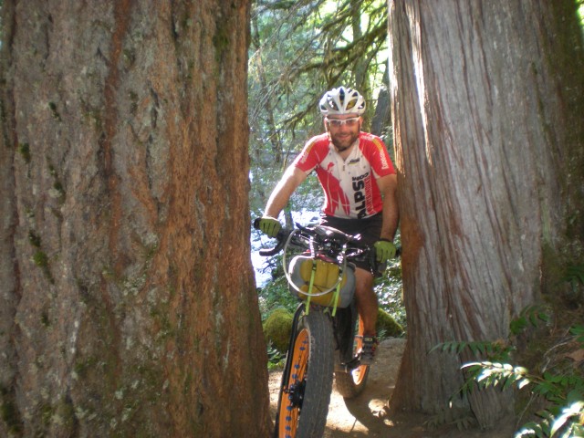
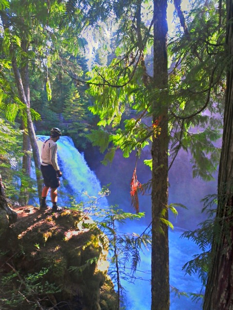
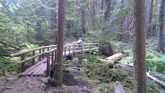
At Clear Lake (fascinating aquifer) we discovered that the little resort made breakfast. We needed no convincing when we smelled the fresh Marion Berry pie in the oven.
3 egg omelets and a huge helping of pie-a-la-mode each please! Mike’s rule of always trusting a fat cook rang true as we devoured our meals and admired just how clear the lake is.

A quick ride past the lake and we were at the trailhead for the shuttled riders.
We turned around and headed downhill, this time around the east side of the clear lake which we had read was more challenging. Challenging is the right word as there are several lava flows which Mike bounced through on his circus bike. It was scary and amusing to see all of the aluminum stripes on the lava rocks from other bikers…. stay focused!

Going down this time, the trail flew by and before we knew it we had grabbed our gear and were at Belknap Hot Springs. There, we met another bike tourer who had just ridden from southern Florida. His journey made ours seem pretty trivial – great perspective as my energy and motivation was dropping.
We made another mandatory ice cream stop and started up the McKenzie Highway. I had a lot of anxiety built up about this stretch because of the climb (4000 feet), potential mosquitoes, and probable heat. It ended up being waaaayy easier than either of us had anticipated. We accidentally did it at the perfect time of day so that it was mostly shaded. There was a light breeze up high that blew the mosquitoes away. And the climb was so gradual it was more relaxing than grueling.
On McKenzie pass there is an observatory which someone had told us was a cool place to camp. It was a little too windy so we decided to head down to Sisters. On our way out the ump-teenth person asked about Mike’s fat-bike with the usual questions (where’s the motor?, is it heavy?, why?, what’s the advantage?, why?). These questions had become routine and Mike handled it with a smile every time.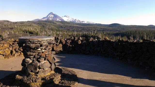
Dropping down the east side of the range it is remarkable how fast the air gets arid and the vegetation changes to high desert. Amazing ecological diversity in Oregon.

Once in Sisters we grabbed some extra food and gatorade then quickly decided we didn’t want to spend the night in town. So we rode out of town with the sun dipping and jumped on the Metolius-Windigo once more. About 10 miles from town we camped.
Day 6 – 77 miles
I woke up pretty sore, but just knowing it was our last day was all I needed to get motivated. The northern part of the Metolius-Windigo proved very different than the southern stretch we had ridden 6 days prior. Much more dry and loose, it seemed to be used more by horses than bikers. With tough climbs and stretches of hike-a-bike I was instantly reminded that it was not over till the fat lady sings, and neither of us were fat ladies and neither of us could sing. Sure is beautiful country though.
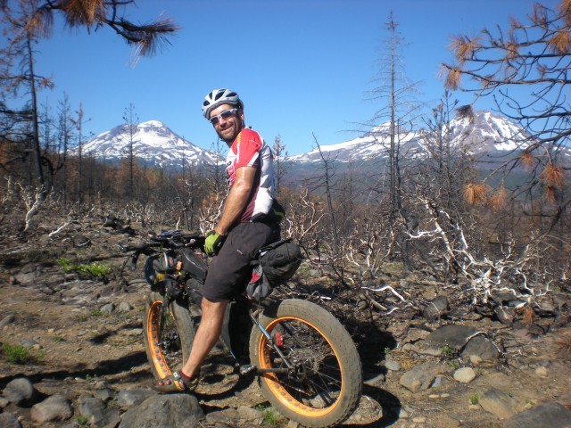
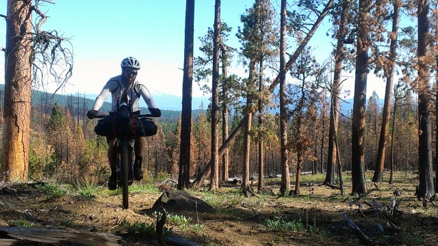
One other thing we learned the last day, if a trail is used primarily by horses – it doesn’t mean it has bridges…

After the Metolius-Windigo, we jumped on the Mrazek trail again. I probably would have been satisfied just riding down Mrazek to Bend as I was pretty “over it” at this point. However we had discussed ending on something really fun and it was agreed for days that the trail to end on would be Whoops. Begrudgingly I went along and we dropped down the farewell trail and crossed the drainage. After I had a mini-meltdown because we were climbing again, Mike talked me down from the ledge and we hit Whoops where as promised Mike lifted his fully loaded fat-bike into the air several times.
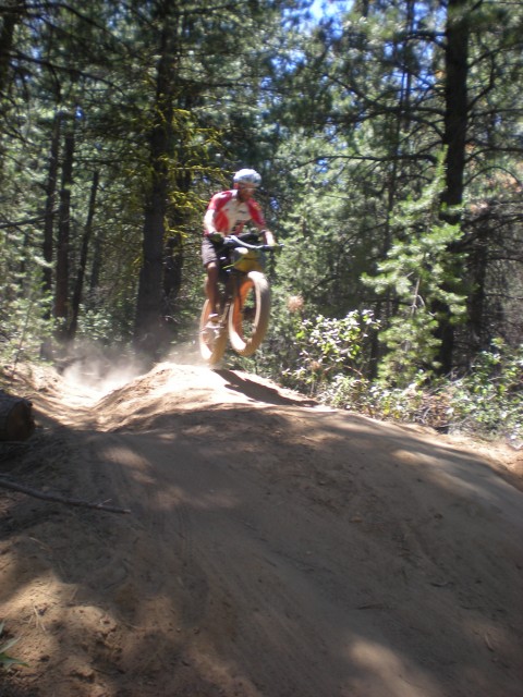
Wahoooooooo what a way to end the trip!!!
Day 7 – 44 miles
Overall stats –
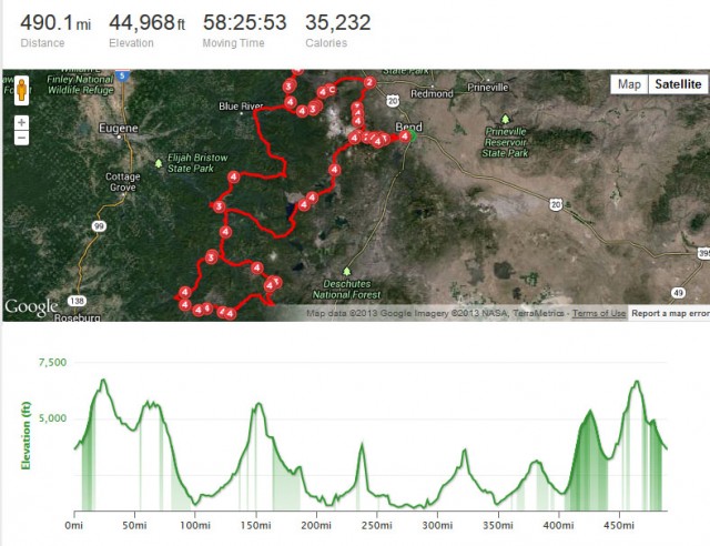
GPS file links
http://connect.garmin.com/activity/341546499
http://app.strava.com/activities/66657348
I’ve been getting further and further away from excess weight in my gear over the last few years. Mainly, it’s a mental exercise but it also helps my old bones get out if they only have my excess body weight to carry rather than excess kit weight.
This is the setup I took for a longish overnight up over Lochnagar and then around Glen Muick via Broad Cairn and Dubh Loch. The route has a lot of pushing and carrying, it may well be the worst route choice in all Scottish mountain biking.
All the kit:
Clothes:
Arc’teryx Atom LT Hoody
Marmot Stretchy Waterproof
Montane Atomic Rain Pants
PHD Minim Down Vest (didn’t take in the end)
Nike Running shorts for the night
Merino Buff
Fox MTB shorts
5.10 shoes
Socks
ProTec hat (didn’t take)
Mechanix Gloves (didn’t take but wish I had as I got a wicked sunburn on my hands).
All the clothes were used, I slept in everything as there was a big wind coming through the bealach at night so I was a little chilly for a while.
Food:
Clockwise from Bottom left:
Porridge pot
Wayfarer Beans and Bacon
Haribo Tangy Monsters – A new one for me and I won’t be getting them again.
Torq Gels – Also new and delicious, will be getting these again.
Orange Rocky Biscuits – A classic improved.
Half pint of Glenfiddich
Clif Bars
Nuun Hydration tablets – Only used one and it flavoured the bottle so I think no for the future.
Jelly Belly Beans – A fabourite.
Gummi Bears
Jelly Belly Sport Beans – I just have some lying around, they are good for a quick burst of sugar and caffeine
I ate just about everything except the porridge (see cooker issues) and the Haribo (minging).
Cooking gear:
Alpkit 750ml Ti Mug
Plastic Spoon (MSR?)
Esbit tabs (never again)
Bic lighter
Esbit pot holder
Windshield
I decided, this once, to go as light as possible and take Esbit but I won’t be doing it again, in any sort of wind (which we have some of up here) they take an age tp bring water to any sort of heat, one tablet managed to get 500ml of water to a moderate simmer. Waste of time and, in my opinion, too finicky to be reliable for Scotland. back to the gas or meths for me.
Sleeping gear:
Thermarest Prolite Short
Nunatak Quilt
Equinox lightweight bivi
I am 5’11” and the Prolite short would have been too short if the summer hadn’t decided to come for a change, the peat was dry as a bone and provided a nicely insulating surface to sleep on. Even with all the clothes on I was a bit chilly where the very strong winds pushed the quilt flat against me, a better site behind a rock would have dealt with this superbly. As it was the Glenfiddich did a reasonable job.
Tools and suchlike:
Left Column:
Midge Headnet
Skin So Soft – Both of these are Scottish summer essentials but actually weren’t really needed due to bright sunshine and altitude. I still wouldn’t leave home without them.
First Aid Kit:
Plasters
Ibuprofen
Wipes
Blister sheet
Tick removers
Safety pins
IDF Trauma bandage
Middle column:
Topeak Alien Multitool
Patch kit
Powerlink
29″ tube
Park Levers
Petzl Zipka +
Compass and whistle
Right column:
Pump
Map and Etrex 20 GPS with route preloaded
Victorinox Classic
Uncle Bill’s Sliver Gripper tweezers
Green and White Photon LED lights.
Apart from the GPS all I used out of this pile was a few Ibuprofen and a preventative squirt of Skin So Soft for midges. I wouldn’t have left without the rest though.
The packing:
The tools, headlight and 2 litres of water go in this wee Osprey rucksack along with the raingear and the Arcteryx hoody. I’d like to get the hoody out of there for future rides to save my neck a little.
The sleeping gear all fits into an 8l drybag from Alpkit
The rest of the kit goes into a frame bag I made myself to fit my old Trek 4300, I need to make a new one for this bike as, although a close fit, there were enough issues that it would be a lot better remade.
I zip tied a bottle carrier on the bars so that I would have a visible reserve of water, there’s nothing I like less than having a Camelbak run out on me unexpectedly.
The bike is an On-One Inbred 29er I built up with a mix of all sorts of componenets from XT to Deore. Tyres are Continental Mountain King II and the whole rig worked brilliantly.
Everything behaved very well except that I had too much weight on my back for the amount of carrying the bike and dragging it over rocks that I was doing.
There was a story in the news recently about a British man who has made a bicycle that can fly. Built in a tricycle style with a huge engine powered fan and parachute-like canopy, once the bike gets up enough speed, the rider and bike literally take off. It wasn’t entirely clear how one landed but there was no mention of fatalities so presumably everyone was all right.
The whole affair looked terrifying. A massive motor-powered fan and a flimsy parachute. No thanks. However, part of me thought that it looked a lot less hassle than trying to take your bike on a plane.
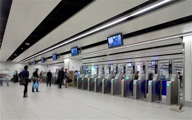
Boarding Gates are NOT Bike Friendly
Over the years I’ve done a fair bit of touring with my bike. This has involved breaking down my bike far too many times to mention. For you see, airlines do let you take bikes on planes, usually for a fee (although one or two big carriers still let you do if for free). That’s fair enough. As are the regulations that you remove peddles, turn handlebars and bag it (or box it) up.
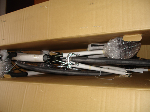
Packing a Bike again and again!
The problems really arise because there is a complete lack of consistency. Some carriers have a weight limit on their bikes. For EasyJet, it’s a measly 12 kilograms. Unless it’s a racer, chances are it’s well over that. Add a pannier rack, a stand and the other accessories essential for bike touring and you’ll be lucky if your bag or box is under 20 kilos.
One time when I flew BA, they said it was free to take bikes. Great news, I thought, feeling proud to be British. What they did not make clear was the fact that it counted as your checked baggage. So, I spent an interesting half hour on the floor in departures, cramming the contents of a rucksack and the rucksack itself into an already stuffed bike box. The nice lady I had spoken to about the cost of bike transport had apparently neglected to mention this when we spoke. I wedged myself into the seat on the plane wearing about nine layers of clothes and sweating profusely.
In fact, every time I have flown with a bike it has been stressful. Whether it’s careless baggage handlers chucking the bike around, so that when you are reunited it looks like it’s been through a mangle; or those really annoying trolley barriers that prevent you from going anywhere useful with the carts. It’s just never easy.
Yet, I keep doing it. I keep booking my bike on to flights. I do it because despite all the stress, the aching muscles after carrying your bike a mile to your hotel, it’s still worth it. Because being on a tour in a strange land is a feeling like no other.
Next time you’re at the airport and you see someone with a bike box and a frazzled look on their face, ask them if they need a hand carrying anything. Please, it might just be me.
This post is from James, a cycling nut who would cycle the world if he had the time and the money! He is currently writing for Merlin Cycles, a brand that is very supportive to him.
- This a short write-up on a trip I took this past week. The ride took me from my house in Durango, CO (6,500′) to the Colorado Trail (at 11,00′) and back down in three days in June, 2013.
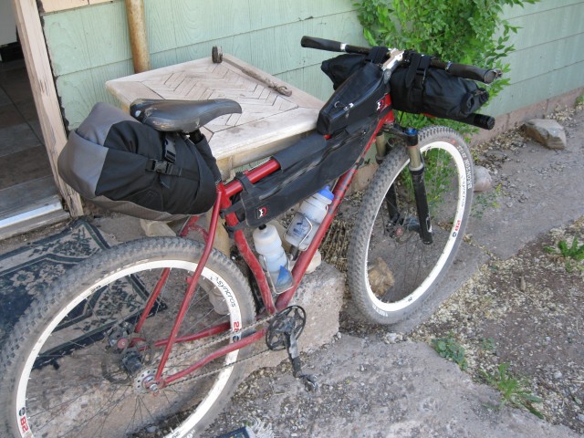
My faithful Karate Monkey all packed up and ready to roll.
The first day I left fro my house at about 11 am, and headed north up the Animas valley to the Hemrosa Creek trailhead (14 miles of road) and then up into the canyon along some sweet singletrack. It was nice to get into the shade of the forests and off of the hot pavement.
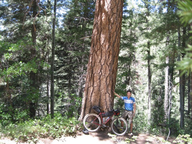
A particularly large ponderosa pine alongside Hermosa creek trail.
I rode another 12 miles up the trail until it spilled me out into a scenic little clearing and fishing hole that beckoned my attention away from the trail. I set up camp and proceeded to catch fish!


Little Brook trout caught on a caddis fly.
I packed along my Tenkara fly rod for the trip. Tenkara rods are great because they are easily packed along in between a handlebar roll and front pocket and they are built for fishing high mountain streams.

I accidentally dipped my camera in the river while taking pictures of all of the fish I caught, and as a consequence didn’t get any photos of my dinner at camp that night. I cooked a little 12″ rainbow over the coals of the fire just as the stars began to show themselves.
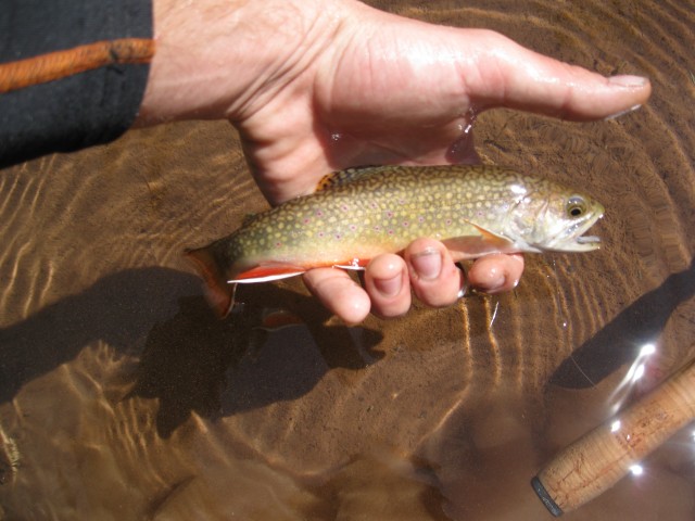
My camera dried out the next morning and still works!
After a leisurely morning I set off from camp up the valley antoher couple of miles to the junction of the corral draw trail and hemrosa creek. I forded the creek and began what turned out to be a 5 mile hike-a-bike that would take me half of the day to get up to the Colorado Trail. Day 2 was exhausting.
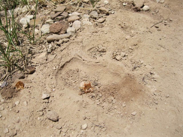
Big bear tracks all the way up Corral Draw.
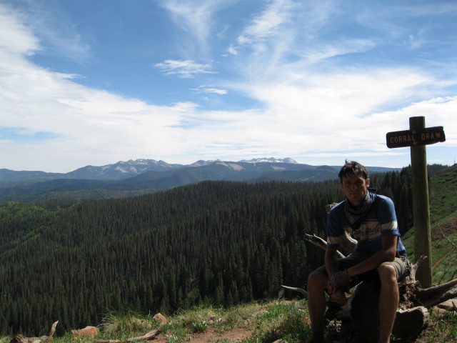
Made it to the top!
I rode another 10 or 15 miles along the Colorado trail, taking in the amazing views and pulling for air as I pedaled along the ridgetops. I came to the junction with Salt creek trail, and consorted with my map for a while before deciding to descend along the salt creek trail and camp back down along hermosa creek for night 2. I reckoned if salt creek was anything like corral draw it would be a spine tingling, long, rapid descent back into the valley. It turned out that Salt creek trail isn’t quite as used as Corral Draw and I found myself hike-a-biking down narrow valley walls and losing the trail all together at times.

Where did the trail go?

This continued for several hours until, near dark, I stumbled down to the bottom, forded across hermosa creek with my bike overhead and found myself at the exact same campsite as the night before! I didn’t fish nor did I have the energy to start a fire, rather I boiled up a ramen bomb (ramen with instant taters added to make broth) on my beer can stove, stuffed my face, and called it a day.
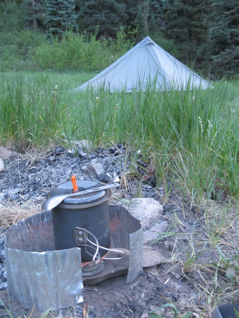
The next day I awoke, saddlesore but refreshed, and road back out of Hermosa Creek and down to town. The ride back down the Hermosa trail was well worth every bit of agony endured over the previous two days.
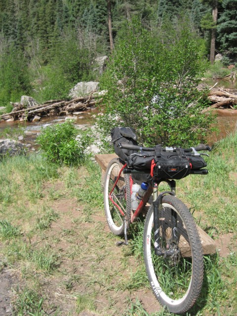
Ready to leave camp, day 3.
A short video of the trip can be seen here: www.youtube.com/watch?v=JHQoSO4sGYY
A million thanks to my friend Kurt for introducing me to bike adventuring and sewing me various bikepacking bags over the years, check out his blog, pocket-thunder.blogspot.com
Also thanks to the guys down at Velorution Cycles in Durango for being an awesome bike shop, www.velorutioncycles.com
North Rim Grand Canyon – Kaibab Plateau – Post-Trip Report – Video
After becoming a papa in August of 2012, my drive to race bicycles and train for racing literally disappeared over the remainder of the year. As anticipated, the new addition to the family required more of my time and attention, but something also was changing inside me; a new chapter in my life had begun. I had always debated the pros and cons of riding bikes with the ultimate goal to be fast. I felt the creative side of my brain was being disregarded for the thrill of speed and appreciation of efficiency and fitness. While I had no intentions of giving up bike riding as a hobby or for fitness, what I felt I really desired was a renaissance back to my rooted love of the outdoors. I missed my old hobbies of photography, fly-fishing, and nature study. In many ways, my old favorite hobby of wilderness travel — backpacking — had been disregarded for all the time on the bike. But thankfully, there is a way to combine the two!
I have been attracted to the growing popularity of bikepacking for several years now. The ultralight version of mountain bike touring appealed to me. Strapping some lightweight camping gear onto your bike enables you to go far (or not far at all) and see amazing places. For the first time by bike, I would be able to travel into the wilds and, with provisions for overnight stays, do it again the following day. This leads to endless trip possibilities and, for my first tour, the North Rim of the Grand Canyon would serve as my testing ground.
Motivated by a variety of outstanding trip reports published online, I decided that the North Rim of the Grand Canyon offered all that I was looking for, including a nice mix of top-quality single and double track trails, plus a network of dirt roads and optional resupply points, if a plan B or C was needed. And of course the scenery is nothing short of world-class. I would flirt along the North Rim of the Canyon for 160 miles and camp 4 nights at select vantage points in the National Forest and Park. The route I choose is often referred to as the “Kaibab Monstercross,” an annual ultra-grueling, endurance race that is completed in one-day! For me, the point was not to test my endurance; I was planning on taking my time and enjoying all that the North Rim of the Canyon could offer.
Starting in January 2013, I decided to gather the necessary gear and study the route. I already asked for, and received from Santa two years ago, a handlebar bag setup, and my bike, a Salsa El Mariachi with twenty-nine-inch wagon wheels, undoubtedly one of the most qualified bikes for such endeavors. The rest of the gear would come to me as I auctioned off most of my old backpacking gear and purchased newer, ultralight versions of the same, plus a frame and seat bag system specifically designed for overnight off-road expeditions via bicycle. My first new camera in 10 years was purchased too. I was getting closer to being ready.
By mid-May, a week before I was scheduled to leave, I had not yet completed a “shake-down” trip to test the whole bikepacking concept. In fact, a variety of snafus would not land all of the critical pieces of gear until 36 hours before departure! I was lacking the confidence that I was hoping to acquire from riding a fully loaded bike and testing my new gear ahead of time. Furthermore, while I was in reasonable shape, in no way did I feel my body was totally prepared for what I was about to unleash on it. With these concerns unaddressed, I anxiously headed into an adventure.
While I had planned at least one “shake-down” trip to test the concept and the gear, a variety of snafus would not land all of the critical pieces of gear till 36 hours before departure!
Motivated by a variety of outstanding trip reports published online, the North Rim of the Grand Canyon offered all that I was looking for. A nice mix of top quality single and double track trails, plus a network of mostly dirt roads and optional resupply points, if a plan b or c was ever needed while out on the trail. And of course the scenery is nothing short of world-class; I would flirt along the North Rim for 150 miles camp out for 4 nights at select vantage points.
Day 1 – Jacob Lake, AZ to Monument Point
Distance: 37 Miles, Climbing: +2,535 / -3,395 ft., Ride Time: 3:30
It only took a couple of seconds after setting out for me to notice how a loaded bike feels — it’s heavier, it’s slower, and the weight over the handlebars in particular impacts the handling of the bike. I estimated the weight of my bike, gear, food, and water at close to 50 pounds. Tires and shocks need quite a bit more pressure. Luckily my introduction to bikepacking was a good one, the terrain this day was relatively easy and a friendly tailwind would propel me south towards my first view of the rim and a rendezvous with my friend’s vehicle parked at my first night’s destination.
My friend Nathan and I coordinated our week of vacation together. His plans included backpacking the Thunder River area of the Canyon which offered me access to his car on my first night for a strategic water/beer stop, and later a meeting at the North Rim Campground on my final night on the trail.
I made my camp on a secluded spot right on the rim near the Bill Hall Trailhead at Monument Point, enjoyed a cold brew from the cooler, soaked up some views, and made conversation with a few hikers either returning or starting their journey into or out of the Canyon below. I set the camera up and grabbed my first time-lapse of clouds crossing the sky. A lot of my gear — sleeping bag, pad, tent — was all being deployed for the first time. The evening went flawlessly, the weather was perfect, and my spirits were high.
Day 2 – Monument Point to Timp Point
Distance: 30.5 Miles, Climbing: +2,633 / -1,989 ft., Ride Time: 4:48
Today would be one of the highlights of the trip; I would finally ride the Rainbow Rim Trail, a mountain bike-specific trail in the Kaibab National Forest that hugs the rim for 19 miles, which I had been reading about for years. But getting to the start of the trail was a bear. There was quite a bit of climbing and some hike-a-bike on primitive roads to get to the trailhead. Along this route I met a few other travelers on bike, horse, and foot. Many were interested in my “rig” and route. The views were great but somewhat infrequent along the Rainbow Rim, which made me appreciate every time I came across a glimpse into the great abyss. This being springtime, flowers and shrubs along the rim were flowering and hummingbirds buzzed from bloom to blossom. Flocks of western tanagers, with their fluorescent rainbow-colored plumage hopped from limb to limb. These friendly and spectacularly gorgeous avian species would be my trail companions each day of the trip. I set up camp at the southernmost trailhead of the Rainbow Rim Trail at Timp Point, where I found another fantastic campsite with views from the rim. Timp Point was completely vacant until John and Julie rolled up in their tricked out “overland” style custom Ford Sportsmobile Van, completely outfitted for a modern-day safari.
John and Julie own and operate Tonto Trails, a new boutique expedition vehicle rental outfit based out of Durango, Colorado. They had just returned from an overland expo in nearby Flagstaff, Arizona and were touring with a British couple, Toby and Jo, on the North Rim. John and Julie invited me over to check out their custom camper 4x4s and have a beer. I obliged! I spent some time getting to know everyone, hitting it off, and doing a bit of dancing and frolicking around the campfire. I was treated to a tour of the two vehicles they brought with them. Toby is a renowned photojournalist who covers the 4×4 and overland sports in Europe and around the world. He was working on a story on the Grand Canyon and Tonto Trails.
Not wanting to wear out my welcome, I departed to my camp early and made a fire from a select piñon pine firewood batch that I had gathered earlier. Piñon has the most amazing fragrance of any wood on earth and with this being my last night in the more lenient National Forest (campfires are not allowed in the backcountry of the adjacent National Park) this was my best chance to enjoy the spellbinding aroma. Shooting stars crossed the night sky.
Day 3 – Timp Point to Point Sublime
Distance: 25 Miles, Climbing: +2,002 / -2,066 ft., Ride Time: 2:56
As I was gathering things together in the morning, John came by my campsite to check out my bike. He shared his interest in bikepacking and recommended I come by and show off my bike to the others before I headed on. I went over and said my goodbyes, not before giving a handful of recommendations for their next night’s destination, which they were having a tough time deciding.
I made my way on some easy and pleasant wooded roads and dropped into a shallow canyon. I pumped water out of the Quaking Aspen Spring, and headed south toward the National Park boundary. Once into the Park, the fun began. The tread was challenging and the terrain was rugged and simply felt “wild.” At one point during a downhill run through a narrow ravine, two buffalo entered the trail directly in front of me, one from the left and another from the right, galloping and kicking up enough dust that I decided to stop rather than chance heading into a smoke screen, the contents of which included two huge beasts easily capable of destroying me and my machine. Once the dust settled, I continued cautiously onward. Oddly, I never saw the two buffs again, and actually can’t figure out where they ran off to. The ravine in which I met them did not let up for at least another mile and did not offer easy escape from the trail.
Eventually, I would drop out of the deep woods and transition into the piñon, juniper, and sage habitat that frequent the lower elevations just below the rim-top as I closed in on Point Sublime, this night’s destination.
At the aptly named Point, the view, as you might imagine, is spectacular. From this vantage you have a commanding view of the Canyon and can even see the swift currents of the Colorado River thousands of feet below. I set up camp and rested in the heat of the day. Later in the afternoon, I was pleasantly surprised when the overland crew rolled up, and soon after sharing greetings the party was on. That evening, we were joined by three more overlanders, outfitted to the gills with professional photo equipment to capture a show put on by the setting sun. I was invited to indulge in much appreciated apps, vino, and dinner and enjoyed what turned out to be an amazing evening — ending up tops in the “least anticipated/coolest part of the trip” category. An excellent buzz was achieved (by all) and eventually I stumbled off to camp, but not before admiring a celestial showdown between Venus, Jupiter, and Mercury that disappeared below the western horizon.
Day 4 – Sublime Point to North Rim Campground
Distance: 19.1 Miles, Climbing: +2,243 / -1,276 ft., Ride Time: 2:27
I left Sublime Point after saying my final goodbyes to my new friends, and with a subtle hangover began my shortest but most challenging day in the saddle. At this point in the ride, my lack of fitness was showing. My legs were toasted and I generally felt fatigued. But with no other real options, I happily kept the pedals turning. Later I would realize that the volume of riding I was completing in any given day was equal to the volume that I was doing in a typical week leading up to the adventure.
It was a slog, but I eventually navigated all of the surprisingly sandy tread on this route and rolled into the Grand Canyon’s North Rim National Park compound. After over three days with no contact, the first thing to do was to call my anxious and curious family. Soon afterwards I grabbed lunch at the deli and showered the first layer of filth off my body at the campground, where I met Nathan, who was just coming back from his grand adventure in the Canyon. Nathan and I took it easy, hit the saloon, shared some stories and met a small group of young dudes from England who had brought their 40-year-old double-decker bus, complete with custom paint, over the Atlantic, for a tour around the good ole USA! Nate and I caught the sunset from the patio at the North Rim’s lodge and polished off a pint of ice cream, heading off to sleep early in preparation for the following big day in the saddle. As forecasted days ago, a dry desert wind picked up notably from the south and gusts of wind rustled my tent from side to side.
Day 5 – North Rim to Jacob Lake
Distance: 47.6 Miles, Climbing: +2,217 / -2,122 ft., Ride Time: 4:14
To be honest, I was a little worried about this day, which featured over 20 miles of rugged singletrack on the Arizona Trail, a trail that bisects the arid-zone-uh state longitudinally. In total, nearly 50 cumulative miles were needed to get me back to my starting point; on paper, a daunting proposition considering the effort it had taken to get me this far. However, two important elements were in my favor — 1. In general, the terrain featured as much elevation gain as loss and, 2. The wind, which was howling out of the south, would be at my back all day, propelling me towards the finish. The latter, in particular, gave me the confidence needed to tackle the day with little to worry about.
I didn’t make it out of the parking lot of the campground before bumping into a couple of mountain bikers checking out me and my ride. Richard is the owner of Moustache Custom Cycles in nearby Flagstaff, Arizona, and, as you would have guessed, has a sweet ‘stache. His bud also had a beard that I would describe as having the ability to nest a medium-sized bird in. They wanted to hear about the trip and the day’s itinerary. I gave them all the local knowledge one could acquire over 5 days and headed off knowing that I might bump into them on the trail. The effect of the wind was noticeable and I made good time.
Once on the Arizona Trail, I came across a historical fire tower, which welcomed a walk up for a view. Further down the trail I acquired my last view of the Canyon. I said my goodbyes to the Grand at that point and headed onward, north. Rich and company later joined me before outpacing my tired ass up a deeply forested hill, which was the last I would see of them. Phlox and daisies dotted massive montane grasslands with small ponds, where I hoped to get a final glimpse of a buffalo or see a wild turkey or two. Finally on the pavement, I was really flying; I covered the last 20 or so miles in just a little over an hour; not bad on a loaded mountain bike. I rewarded myself with a fat pastry from the Jacob Lake Inn and called it a trip, a really fantastic, hard earned — but not without some surprising perks — first-ever bikepacking adventure.
Travel Dates: May 19th – 23rd, 2013.
As featured on the Adventure Cycling Blog: http://www.adventurecycling.org/resources/blog/a-maiden-voyage-bikepacking-the-north-rim-of-the-grand-canyon/
May 31st, 2013 in
Desert Southwest (CO,AZ,UT,NM),
Trip Reports | tags:
Arizona trail,
bike,
bikepacking,
grand canyon,
kaibab,
mountain bike,
north rim,
rainbow rim,
touring |
9 Comments
Bike:
2012 Niner MCR frame (bottle on st dropped 4″ by adding additional boss) custom sealed Jagwire shift/housings system
Elite bottle cages 2X 24oz bottles
2012 Niner Carbon bar in green, uncut length, Ergon team grips
2012 Stans 3.30 hubs, Crest 29 rims 32H (9mm AmClassic thru-axle front 10mm AmClassic thru-axle rear)
2011 Manitou Tower 80mm fork (custom build with firm spring and 7.5 wt oil)
2011 Hayes Stroker Gram, white (custom green Goodrich hoses, Ashima rotors 160mm ft and rr)
Thomson Master post, Thomson X2 120mm/10deg stem with new 3mm bolts, Thomson binder
WTB Valcon Team saddle
Middleburn RS8 crank, custom blue, ISIS drive 3X9 42/32/24 compact spider, Truvativ ISIS bb
SRAM XO rr trigger, XO ft twist, XO rr der, XTR ft der, XT 11-34 cass, KMC chain all 9speed
Cane Creek 110 headset, blue
Specialized SW Renegade 29X1.80, Notubes sealant with glitter
XTR Trail pedals w/platform
Knog Blider tail light
On Bar:
Garmin Etrex (stem mount)
Garmin 310XT
Bear Bell
Sigma Karma EVO light engine
Custom Mini Triangle Bag
Sigma Iion XL battery
Sigma Iion battery
Foam insert to hold all batteries in place
Topeak Fueltank Large
Lezyne Multi w/chain tool
Chainlube and rag (Squirt 4oz)
Nuun tabs
Food
Revelate Jerrycan
3X battery packs (each holder consists of 4each Tenergy 2600 mAh rechargeable AA batt)
4X spare AA Energizer Ultimate Lithium batteries
Topeak Mondopack w/fixer
2X tubes 700X45 presta
Emergency blanket
First Aid kit
Tire kit (tire lever, tire plug kit, glue patch kit, glueless patch kit, clean rag, tyvek/rubber strips, super glue)
Repair kit (quick link, chainring inner/outer bolt, bottle bolt, cleat bolt, brake pads, zip ties)
Extra socks (Swiftwick compression 12”)
Osprey Talon 4 Lumbar pack
Spot tracker
Phone
Chamois Butt’r, Eurostyle packs
Endura MTB Emergency Shell jacket
Small terry towel in waterproof bag
CRKT P.E.C.K knife
PrincetonTec camp headlight
Food
Specialized Propero II helmet
Dinotte 200L Plus LC (custom Cree led)
Halo Rhythm earphones
Ipod Shuffle

 PA N-S Mixed Surface Route
Background
The idea for this route was hatched in this thread. Three of us (Jeff, Ron and Ruth) scouted the complete route in 2012. The goal was to begin piecing together what could be a long distance backcountry route in the east.
The Route
Summary
The following image shows the route.
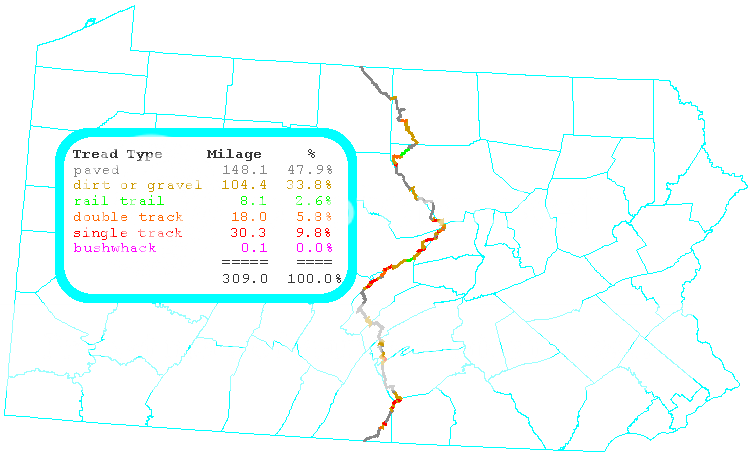
The elevation profile of the route: 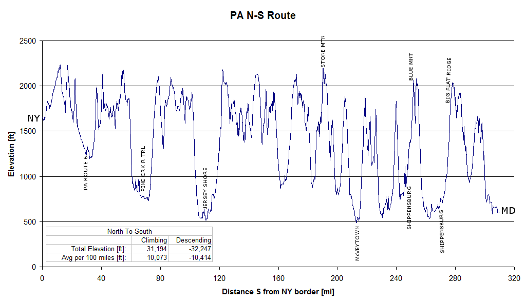
Along the Route
The route includes a mix of paved road, dirt road, double track, rail trail, single track, and for good measure, a short bushwhack. The route connects blocks of PA State Forest land located in central PA. Along the way the route encounters small towns, farming communities, forested ridges, hunting camps and state parks.
Regarding singletrack, the route goes through both Rothrock and Michaux State Forests which are arguably the top two single track destinations for PA mountain bikers. In addition, there are additional single track sections in Bald Eagle SF and Tiadaghton SF. Several of the sections are used as race routes throughout the year (Michaux Series, Wilderness 101, Stupid 50, Iron Cross, etc..)
For the most part, water (that should be treated) can be easily found along the route in numerous streams and springs. Food sources (grocery stores, convenience stores and restaurants) are less frequent. Full service grocery stores are located along the route in Jersey Shore and
Shippensburg. No permits are required for single night, primitive camping in PA state forests.
Bicycle shops are “few and far between”. Although there are no bike shops directly on the route, there are shops in close proximity (within 10 miles or so) that can be good resources for emergency spare parts or route information. In the southern section, Gettysburg Bicycle is nearby to the Michaux State Forest. FreezeThaw Cycles, The Bicycle Shop and Eddies Cycles are located in State College and are all good contacts for the Rothrock and Bald Eagle sections of trail. In the northern end, Oswald Cycle Works in Mansfield is a good stretch from
the route but familiar with the area.
Connections
The PA N-S is connector between the proposed Triple Divide Trail, and an unscouted connector through MD that connects to the VA Mountain Bike Route. As of this writing (March 2013), there does not seem to be an official public domain map of the VA Mountain Bike Route. The Google Map linked to this document contains a ‘best guess’ of the VA route.
Google Map Link
Google Map Link (also shows connections, waypoints and photos)
Maps and GPS Data
Are found at this link. The map downloads include options for complete sets of printable, topographic maps in PDF format.
Photos along Route
Note: photos where taken during multiple trips, which spanned multiple seasons!
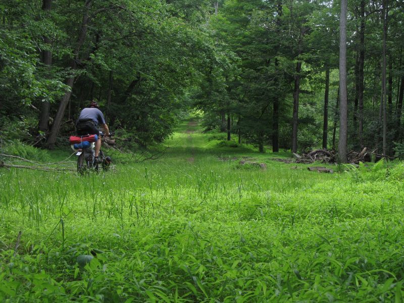
Grassy, Gated, Forest Road
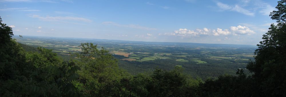
Vista of Farm Country

Southern Michaux State Forest
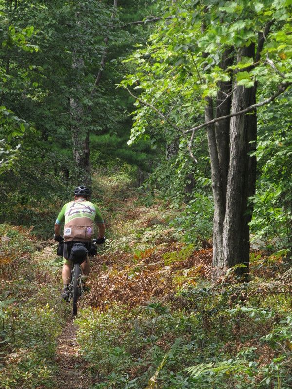
Through the bracken
Scouts Head Out
Dirt Road
Old Church
Three Way

Five Way
Fern City
Field
Mountain Laurel
Shippensburg
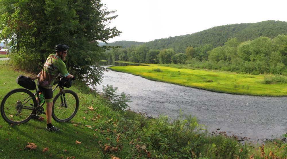
Pine Creek
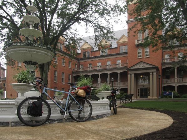
Shippensburg University
Pine Creek Gorge
Hunting Camp
Big Money!
Double Track Fall
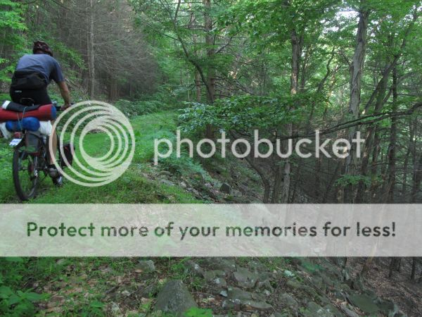
Abandoned Forest Road
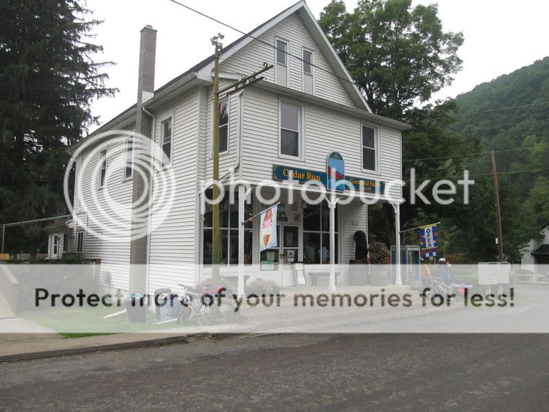
Cedar Run Store on Pine Creek Trail
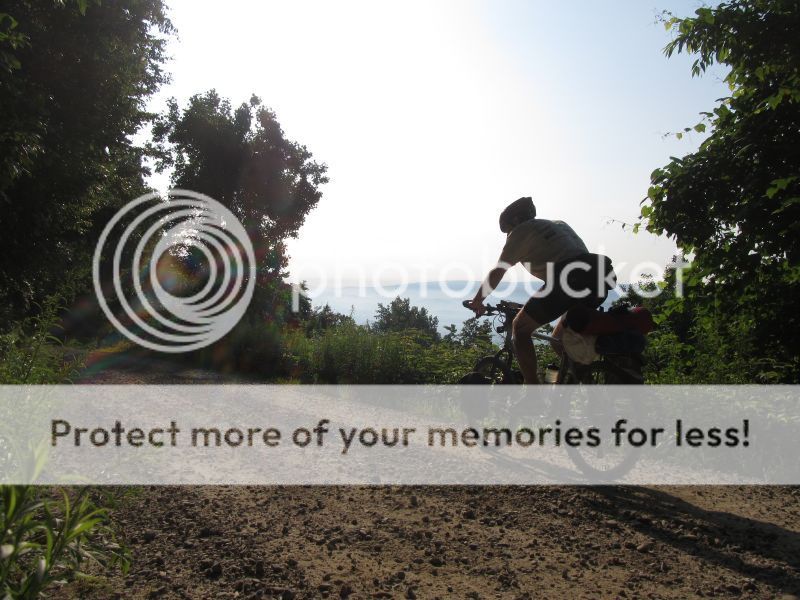
Ridge Running
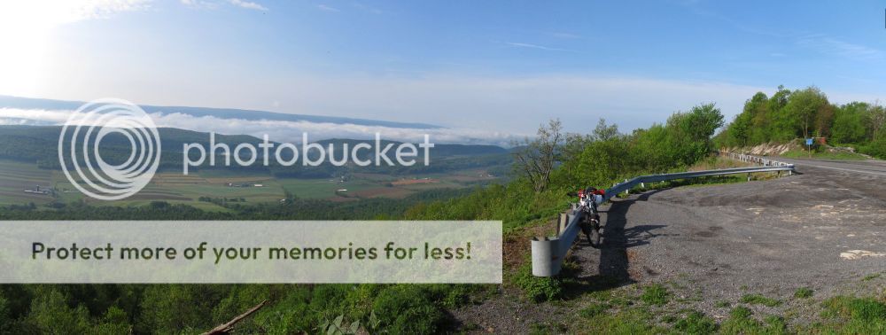
Ridge and Valley
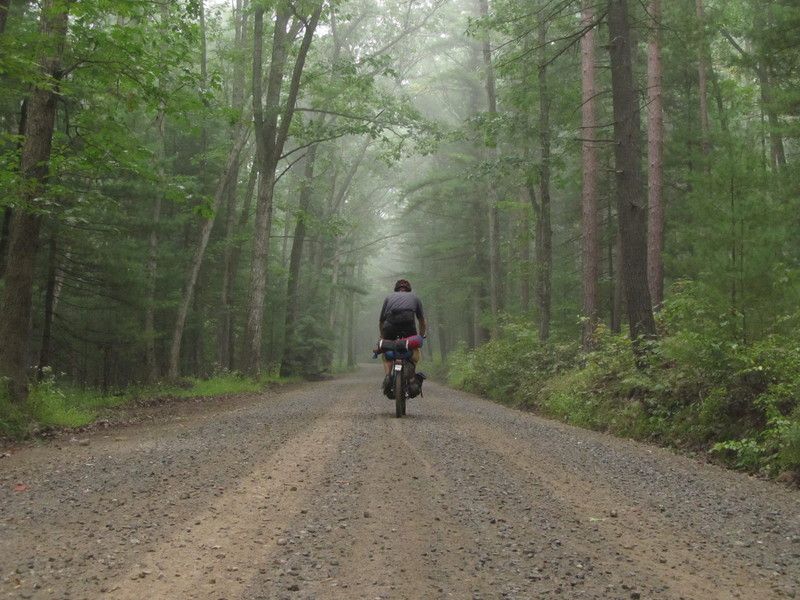
Forest Road
Palmetto Trail TR
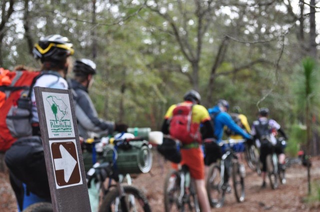
This is a trip report for the Western portion of the Palmetto Trail in South Carolina, ridden by 10 Virginia Commonwealth University Outdoor Adventure Program students and staff in March of 2013. There is limited information available for the trail, so this TR is aimed at clearing the air and providing quality information about the trail. If you read the report and want more information, you can drop a line to vcuoap@gmail.com and we’ll try to help you out.
South Carolina is not the first place that comes to mind when you think about bikepacking, but it paid huge dividends for our recent trip there on March 2nd-9th, 2013. The Palmetto trail is a linear hiking/biking trail that traverses South Carolina. It is not yet complete, but thanks to the efforts of the Palmetto Conservation Foundation, much of the trail is marked and in existence. Eventually, you’ll be able to traverse SC on mostly trail and dirt roads. Our trip took us from Poinsett State Park to the western terminus at Buck Hall Landing near the coast.
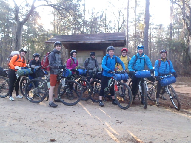
The Motley Crew
Background
This trip was organized by the Virginia Commonwealth University (VCU) Outdoor Adventure Program (OAP). Our program runs an intensive leadership training program for undergraduate student leaders that desire to become trip leaders and guides within the OAP. The training culminates with an expedition-style trip, and this year’s expedition brought us to wild and wonderful South Carolina. This year’s class had eight students of varying experience mountain biking, and none of the students had experience actually bikepacking before enrolling in the program. They were accompanied by the director of the OAP and myself (assistant director of sorts). We provided them the framework “you have 9 days and a destination” and they were tasked with planning the trip from top to bottom. Along the trip, each of the students had the opportunity to lead for the day (navigation, resupply, camping, etc.) The reason that we selected the Palmetto trail was the combination of mellow terrain, absence of information, ability to resupply, and opportunity for backcountry travel.
Gear
Since we are an outdoor adventure program, we’ve got more gear than you can shake a stick at. However, a trip of this nature meant that we had to carry as little as possible. South Carolina is fairly mild at this time of year, but we still needed to prepare for near freezing and wet weather. The bikes were Fuji 29er hardtails that are our program’s fleet bicycles. We made our frame bags in house with an industrial sewing machine. Seatbags were purchased from Revelate Designs (highly recommended company). Most of us used cam straps to attach a camping pad or dry bag to handlebars, but a couple had homemade bar slings for gear.
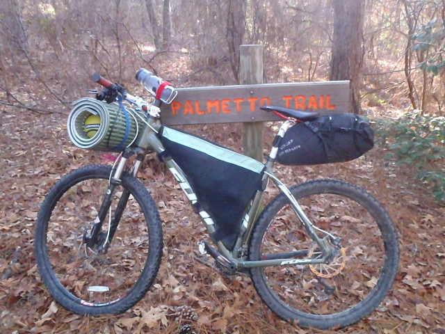
Typical rig out of our group
Trip Report
If you explore the Palmetto Conservation Foundation’s website, you’ll find that the trail is divided into a number of “passages”. This trip report will break down by passage to aid in matching our information with your trip planning.
We left Richmond, VA the morning of March 2nd with intentions of getting a few miles down the trail on that day. The plan was to start on Wateree Passage. Our student leaders for that day picked a place where they believed that we could intersect the trail with a numbered highway, just west of the Wateree passage. After loading all of the bikes up and saying goodbye to our shuttle driver, we enthusiastically and blindly set out along some lovely railroad tracks on what we hoped was the Palmetto Trail. It took approximately 30 minutes before Wally the security guard was yelling at us that we were on private property and must leave without delay. Despite the let-down that we weren’t on the trail, our co-leaders kept a clear head and called our shuttle driver back and we caught a van ride to Poinsett State Park, which was our intended campsite for the night. Tip #1- start at the state park! The Wateree passage has no western access until the Foxville Road Trailhead. Everything west of that trailhead is an out and back. If you want to connect the Fort Jackson Passage to the Wateree passage, you are going to have to forge your own route. There is no trail and there are no trail markers. You’ve been warned.
High Hills of Santee Passage
We had a pleasant night at the Poinsett State Park campground (hot showers, electricity, and water). There was a local mountain bike race occurring on March 3rd so we made it a point to get out of camp early so we didn’t interfere with the race. It was nice to socialize around a big campfire with fellow cyclists, eat their smores, and use some of their tools! From the campground, you’ve got to ride North on the paved road out of the campground to connect with a trailhead. There are multiple mountain bike trails in the state park, so be sure you follow the right trail markers. The Palmetto Trail is well marked once you find it. Within Poinsett State Park, the trail is fun, not too sandy, and easy to follow. Do be sure you don’t turn off of the Palmetto Trail onto another mountain bike trail. Once we left the state park, which is only a couple of miles down trail, we fell off of the fun train in a hopeless abyss of hike-a-bike. This passage is a textbook example of how multiple-use trails sometimes give mountain bikers the short end of the stick. The trail was beaten, unconsolidated sand for miles as a result of heavy horse use. We observed several groups of horse riders on this section. If you had a fat bike, it would be gruesome but ride-able. On our 29er hardtails, it was barely ride-able in some sections and unride-able in others. We did some character building in this section, as we like to say.
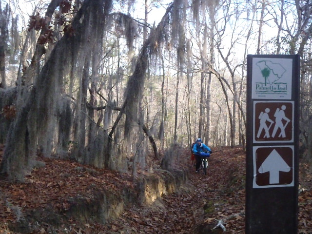
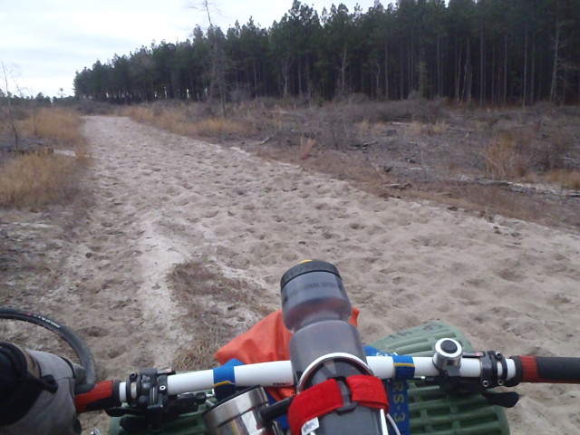
unless you have a fat bike or like to hike, take the roads in this section!
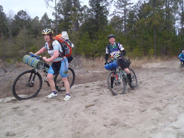
building character
My advice to bikers and hikers is to re-route onto Milford Plantation Road (unpaved) and skip this section. You won’t miss anything too spectacular, and the road is quiet and as scenic as the trail. The sucky-sand trail mileage is around 7 miles, and the re-route on the road would be about the same mileage. You can meet back up with the trail on Milford Plantation Road, but if you need water it is easy to backtrack to Mill County Park, which has bathrooms, water, and pavilions.

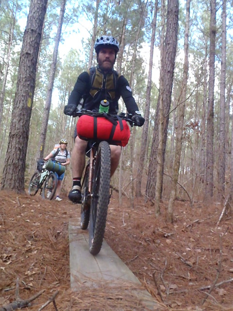
not all of the skinny bridges are ride-able, many are overgrown

wtf?
Lake Marion Passage
This 33 mile section of the trail is sure to leave you with some memories (positive or negative). Once you reach Sparkleberry Landing (yes, sparkleberry) you know that you are truly in the swamp. Bald cypress trees, Spanish moss, and swamp scenery abound. This section skirts around Lake Marion, and if you were riding it in wet weather you would have to contend with lots of mud and water on the trail. The trail is blazed well enough, but other than the first short bit (which has been poached by 4-wheelers) it is not ridden very often. We wagered that we were the first cyclists through there is quite some time. There are lots of small bridges that skirt some of the wet sections, but they are mostly unride-able and overgrown. If you were hiking, plan on wet boots. Much of the trail is covered with forest litter and you are only navigating by the blazes on trees. Any fewer blazes would make it difficult to navigate, but there are just enough out there that you can connect the dots. There are plenty of down trees across the trail as well. We camped around mile 25 (miles are marked on the map but not on the trail), also, the miles typically reset when you change trail passages. There was an obvious campsite and preexisting fire ring. The only water at that camp we had was out of lake Marion. The next morning though, we loaded up on Moon Pies and sulfur-laden water at Pack’s Landing. It is a small-scale marina and has very limited food selection, but has a smattering of camping equipment.
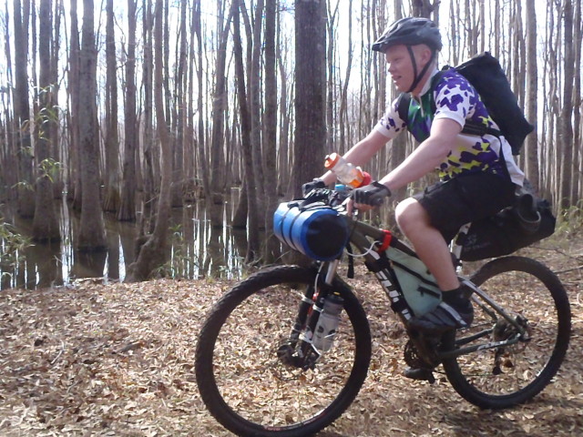
swamp riding
Past Pack’s Landing and Halfway Swamp, you jump onto some paved roads and cover miles quickly. For the most part, the turns are marked by a karsonite sign with the trail emblem and an arrow. Keep your eyes peeled for these along the whole trail, sometimes they are in tall grass and hard to spot. Here, you ride through the Hickory Top Wildlife Management area. The trail is similar to what you’ve already ridden in the Lake Marion Passage. Plenty of trail covered in water, skinny bridges, downed trees, and mud pits. Scenic though! We re-routed a small section of trail on the road, and if you are passing through and need to make miles or the water table is high, there are multiple re-route options for you on paved and unpaved roads. You pass by a supposed re-supply spot- Jack’s Creek Marina- but we had heard that the general store was closed indefinitely so we skipped it. We finally popped out into the real world north of Lake Marion, just across a bridge from the town of Santee. The plan was to camp at Arbuckle’s landing, which is marked on the maps as a pay campsite. Arbuckle’s landing is there, and their sign says “camp sites” but if you aren’t in an RV then you are a TRESPASSER. The first thing out of the owner’s mouth when we rolled in was “Y’all can’t be here!”. No hello, no nothing. So, we bucked up and rode across the lake to town for our resupply. It’s a very cool crossing, because there is an old bridge that is closed to cars that you get to ride across just on the northwest side of the new bridge.
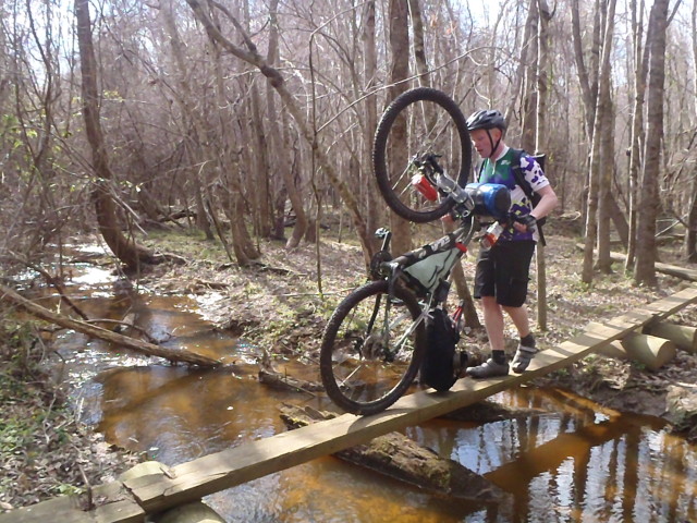

linear lifestyle
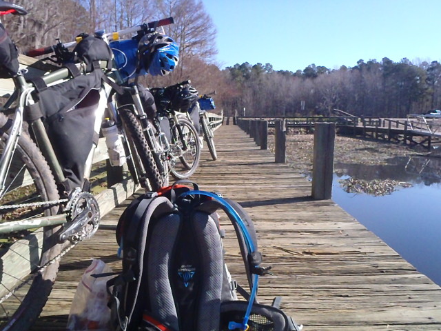
at a marina
Santee Passage
The group had started with enough food to get us to the town of Santee, where there is a Food Lion (for food) and a hardware store (for denatured alcohol for our stoves). The students had a slightly stressful experience buying food for the rest of the expedition mid-trip, but we loaded our packs to the gills and managed to get out of town before dark. When you come into the town of Santee, do not turn of the main drag the trail spits you out on (traveling SW on route 15). The Food Lion and hardware store are on this road. There are several chain restaurants, hotels, and other services in town as well. Nearby is Santee State Park, which offers camping, but it is a few miles off trail. Once you are loaded up with goodies in town, just a mile or so down Hwy 15 is Brooks Road. There is a large sign for a Palmetto Trail trailhead. Don’t miss the turn (most people we met in town were unaware of the trail)! You pass by a large city-hall complex and greens (last chance for easy water) and jump back onto the trail. There are some turns that are not signed as you get out of town, so keep a very close eye on your map. We ended up camping trailside about 4 miles out of town in a forested section of trail. Likely, it was private land. The group stuck to Leave No Trace ethics and we were in a great position to continue our ride the next day.

real grim out there
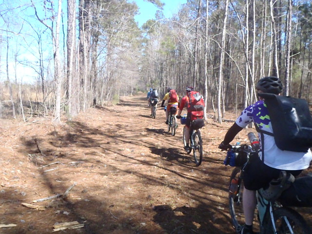
makes for quick miles
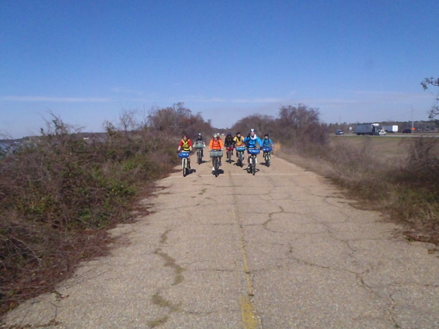
crossing over the old vehicle bridge into the town of Santee, SC
The Santee Passage is essentially all fire road and short overall, so we made quick miles and found ourselves in Eutawville bright and early the next day.
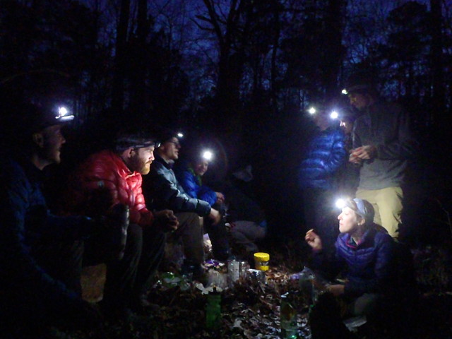
Eutawville Springs Passage
This passage is characterized by dirt roads and fast miles. There are plenty of turns, so keep your map on your handlebars. We stopped in Eutawville; there is an IGA grocery store on the route. We picked up some last minute essentials (toilet paper) and continued on to cover miles. There is a fair bit of revolutionary war history along this section of trail, and just before you start the Lake Moultrie Passage, there is an awesome restaurant called Mac Daddy’s that will fry anything and put gravy on it and they have an excellent candy selection.
There is a mix of paved and unpaved roads. One reroute we took was Nelson Ferry Road. It was a pleasant dirt road that saved us overall miles, and since the trail follows roads anyway we didn’t feel like we were missing out too greatly. That reroute paid off for us, but a little misnavigation left us on Hwy 6 for a few miles. That road is busy, has a rumble strip on the shoulder, and should be avoided if possible.
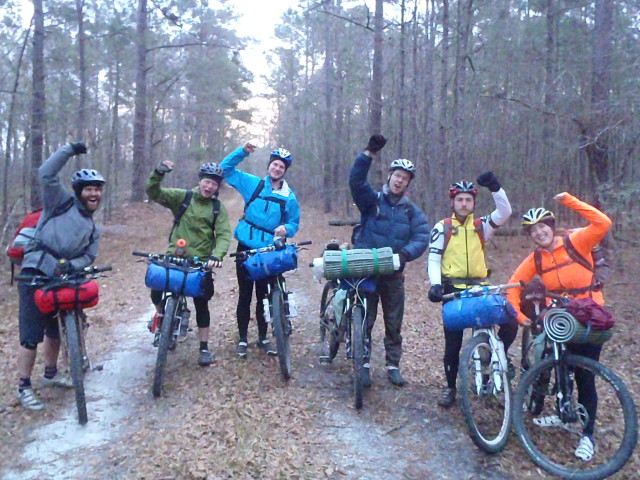
the stoke is high

quite good weather
fearless leader
Lake Moultrie Passage
The Lake Moultrie passage is sure to offer up some adventure! We had to do some navi-guessing the first few miles. Evening found us near the Sandy Beach Spur Trail in the first few miles of the passage. One of our students had been fighting some gastro-intestinal issues and we made the call to camp early. It turned out to be a great choice as we saw the only alligators (massive alligators at that) of the trip. Also, Sandy Beach Campground was awesome. The dike that the Palmetto Trail follows through this section is varied in how good the riding is. Sometimes it is quite grassy and slower going. We hit some crazy wind as we traversed the Eastern shore of Lake Moultrie as the trail is lakeside and quite exposed. Eventually, we hit Bonneau Beach, where there is a small gas station with limited supplies. After a missed turn or two, we found ourselves riding the Swamp Fox Passage.
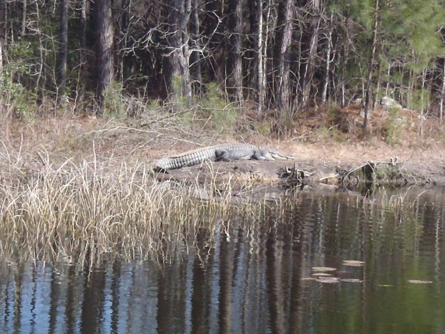
big. ole. gator.
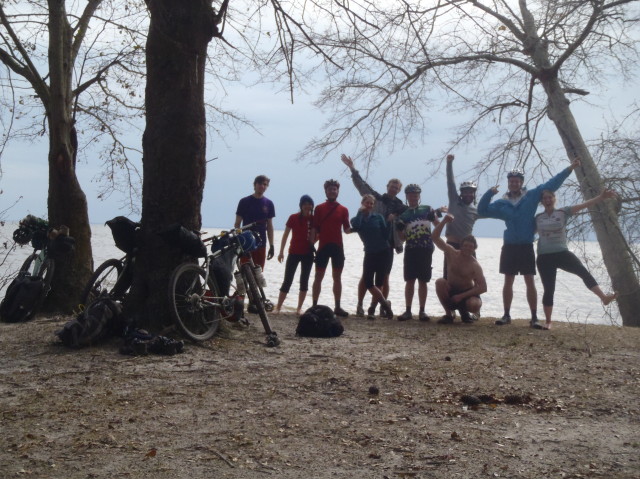
sandy beach campground
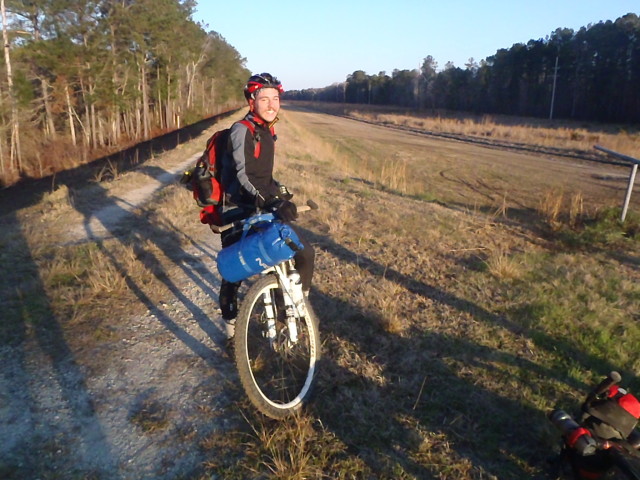

cranking out miles on the dike
Swamp Fox Passage
The group was excited about the Swamp Fox Passage, and it certainly delivered. Due to some errors in navigation, we took some roads initially and jumped on the trail at the intersection with Longacre Drive. After we found the trail here, it was very easy to follow for the duration of the passage. As to be expected in a National Forest, there was a certain standard of trail marking and maintenance that was adhered to. The first few miles offered tight, technical and exciting singletrack. Riding this section on fully laden bikes was a real thrill. The bridges in this section can be ridden if you have solid technical skills. After the first few miles, the trail mellows out into flat, rooty trail that I believe is periodically mowed by a small machine. Well marked, about 4 feet wide, and bumpy. Our first night was spent at Witherbee campground. There is no water at the Witherbee ranger station. The director and myself slipped out of camp before dawn the next day to let the students have the last two days as a solo experience. The rest of Swamp Fox was all about the same trail, and if you are pressed for time there are options for reroutes on roads in the National Forest. Our second night was spent at the Halfway Creek campground. There is no water here and it is accessible by car, so it can be crowded and feels like an overused campground. The last supply point marked on the map off of highway 17 is marginal at best, but there is an outdoor spigot you can get water at.
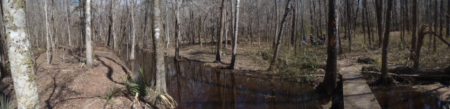
some of the finest trail on the trip
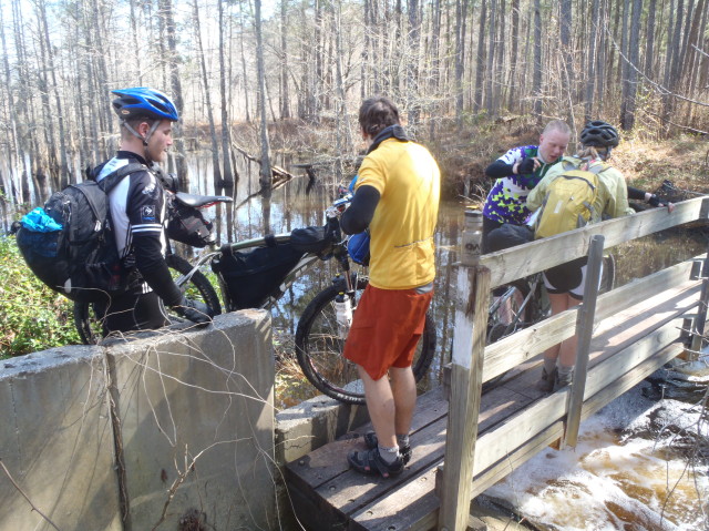
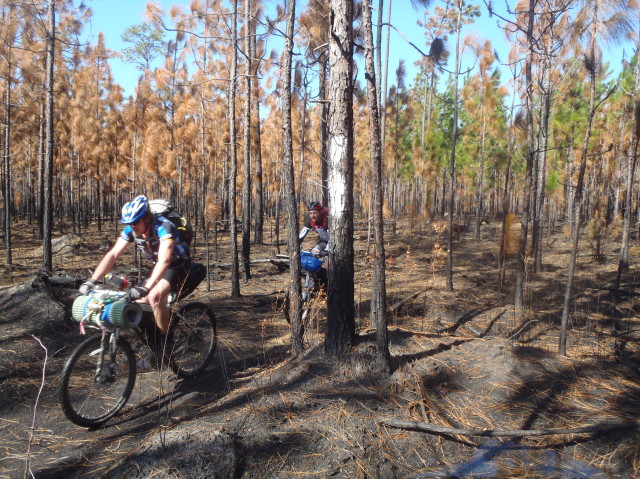
burned out forest riding
Awendaw Passage
The last passage of the Palmetto Trail is only 7 miles long, but it is well ridden and very enjoyable. It doesn’t take long to crank out those last miles because you can smell the salt air and sweet sweet completion. There is a very nice campsite at Buck Hall Landing at the Eastern Terminus of the trail.
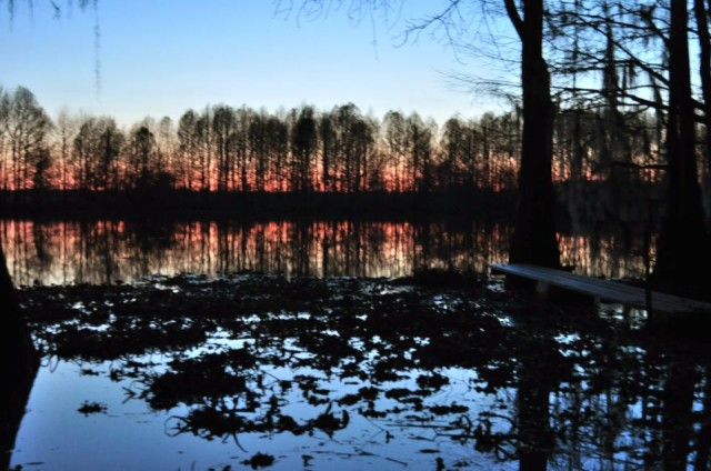
what a trip! shoot me an email if you have questions.
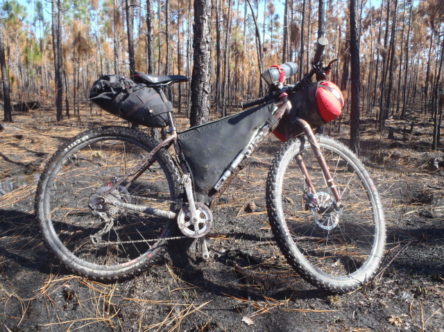
Video of the trip and written report below
http://www.youtube.com/watch?v=5lO90aiEXZs
Completed this trip last year and am just now getting around to writing a report on it. I started from McKeesport, PA and ended at Whites Ferry, MD. I used the Great Allegheny Passage and C&O Canal to get from point A to B. Total trip length was approximately 280mi over 2.5 days. The entire trip was on dedicated rail trail/double track and went up and over the Eastern Continental Divide. This was the first time riding the GAP trail and I must say..cant get a much nicer trail than this…

GAP just after the divide crossing

GAP Trail

The maps made available are also very informative
The trip started off with a 4am revelry and a 6 hour drive from Virginia up to PA. Thankfully I had a friend that was willing to drive me and my gear up to the drop-off point. During this trip, the GAP trail was not completed from Pittsburgh to Cumberland. They are currently laying trail down for the final few miles to make a complete point to point trail from Pittsburgh to D.C (I plan to ride it this spring). I started the day around 11am and made it to Confluence, about 72 miles.
Breakfast at Sister’s Diner across the river from the campsite was a great way to start the morning!

There is tons to see along the GAP. Many bridges and tunnels and small trail towns. However, not as much camping and water resupplies as the C&O. GAP is also far busier than the C&O and its hard to get a sense of solitude for most of the trail.

Lots of these vistas
I arrived in Myersdale before noon for a quick pitstop and ice cream before the last few miles to the top of the divide. They have a really cool museum inside. If you have time you should check it out for a bit of history of the old rail road system.


The rig taking a rest in Myersdale
Another 8 miles down the trail I reached the heights point in the trip and was rewarded with a downhill journey all the way home to White’s Ferry..


My faithful mule that got me to the top
Just following the Divide crossing was a series of tunnels that felt as though I was traveling into the mines of Moria. I forgot to whip out the camera in the Big Savage Tunnel (which is 3300 feet long I should add). I did however stop just after exiting to take this shot…

A bit further and I cross from PA to MD as signaled by the Mason Dixon Line!

Along this final section of the GAP you parallel the Western Maryland Scenic Rail Road. I sadly did not see the train in service that day but I enjoyed the scenes anyway!


I finally reached the end of the GAP trail in Cumberland, MD and had a late lunch in town at a restaurant that I cant remember other than it was the best meal I had all trip (due to having nothing but cliff bars all day)

Riding into Cumberland, MD
The remainder of the trip was spent trucking as fast as I could go to stay ahead of a major storm that was chasing me down. It was paused for a few minutes when I crashed out just before the PawPaw tunnel on the C&O canal. That tumble took the pep out of my step and out of the aero bars for awhile. Luckily no permanent damage as I was miles from help in either direction and had not seen a soul in over an hour. There was also no cell signal :-/.

Crash before PawPaw
That about sums up the trip. Long days on the bike but a great way to shake down gear in a relatively controlled environment with help and supplies readily available. I plan to do an out and back trip this year from DC to Pitt’s as a final preparation for the Divide in June 2014!
The Fenix LD22 is a great cheap solution for portable lighting. It requires 2 AA batteries that can be either alkaline or lithium to allow easy and quick power replenishment when on the trail. It is comprised of a rugged aluminum housing that is waterproof and shockproof. There are four brightness modes and an S.O.S and Flash mode available. I use two of them on my rig and I have yet to find myself in need of additional lighting. My only complaints are the length of the flashlight which makes it tricky to mount and the beam spread is focused less appropriately than purpose made bike lights. Overall they make great lights and I anticipate many years of happy use!

Fenix LD22
March 8th, 2013 in
Lighting |
2 Comments
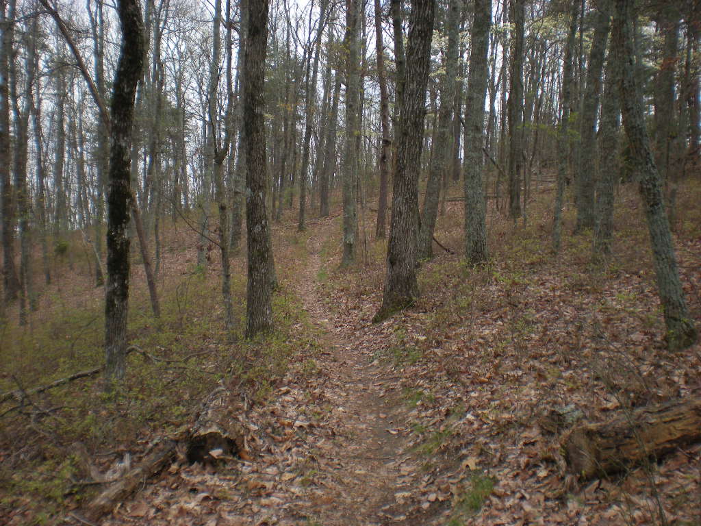
Overview
The Trans North Georgia (TNGA) is a 350 mile mountain bike route through the mountains of North Georgia. It includes double and singletrack trails, forest roads and some pavement. The terrain is challenging, some sections have beautiful scenery and the route features over 56000 feet of climbing.
Route Details
The route is traditionally ridden east to west from the South Carolina state line on Highway 28 to the Alabama border on Highway 20. In that direction, the first 100 miles or so consists mostly of gravel and dirt roads and features some difficult climbing. Some of the roads are surprisingly technical and some have lots of creek crossings. This section is arguably the most scenic as well though.
Early in the route there is a mandatory hike-a-bike section where a horse trail is used to get over Wilson Gap and through an environmentally sensitive region. This section must be walked but it is less than a mile long.
The first singletrack of the route descends into the town of Helen and the trail is extrememly rough. Some riders question whether they are, in fact, on route during this section. Afterward there is a long section of mostly-road through “The Gaps” as it is called by local road cyclists. After climbing over Hogpen and Wolfpen Gaps the route returns to mostly gravel road as it approaches the Aska Adventure Area near the town of Blue Ridge.
There, riders experience the true, narrow, bench cut singletrack of Green Mountain and Stanley Gap before descding more gravel road into the community of Cherry Log where again the route alternates between long stretches of gravel and paved road.
After a long ride up Cashes Valley Road, the riders enter the Cohutta Mountains and alternate between the doubletrack of the South Fork and Pinhoti trails and more gravel roads. Ultimately road gives way to singletrack at Bear Creek and eventually the riders get back on the Pinhoti trail which they will take almost all the way to the Alabama border, some 150 or more miles away.
The Pinhoti is long, well-built and features every type of terrain and trail imaginable. Some sections are flowing, purpose-built, bench cut singletrack, others are conversions of old roadbeds, some follow gravel roads or even pavement. The final run out toward the Alabama border even follows an old rail bed. Some sections are steep, others roll, some are dead flat for miles. Some are remote and rarely used, others get heavy traffic, daily.
The final approach to the Alabama border follow a short section of Highway 100 and then Highway 20.
The route feels remote, lying mainly within the borders of the Chattahoochee National Forest. The only city on-route is Dalton, but there are plenty of opportunities to camp, both primitive camping and formal camp grounds, including several at state parks. There are a few stores, bike shops and opportunities for lodging on route and many more a mile or less off route in various places. Most notably, the Mulberry Gap Mountain Bike Getaway is less than a quarter mile off route, deep in the heart of the Cohuttas. Many out-of-state riders use Mulberry Gap as a staging point for the ride.
Event Details
The Trans North Georgia Mountain Bike Adventure is a self-supported thru-ride along the TNGA route, generally held in late August or early September depending on USFS review and the schedules of other nearby events. It is not a race but an adventure. Finishing times are recorded and sorted as a basis for future comparison but there is no podium ceremony and no prizes. Participants are required to register by signing a waiver and must carry a SPOT tracker while riding but there is no charge to ride. ITT’s are welcome any time and require no waiver or tracker.
Maps, GPS and Cue Sheets
(available at: http://www.firstworks.com/tnga/route.html)
Links
Trans North Georgia Moutain Bike Advenutre (http://www.firstworks.com/tnga)
Georgia Pinhoti Trail Association (http://pinhoti.info/joomla/index.php)
March 7th, 2013 in
Routes |
2 Comments
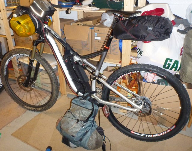
This is the bike fully loaded
Here is my set-up from a 4 day trip in western North Dakota in mid October.
Expected conditions:
High 55-80, record 90, low 35-50, record 25. Rain on 25% of the days.
Only 11 hrs of daylight.
High winds likely, very exposed. Dust storms possible.
Rain or snow possible, but not very common.
If it rains you can’t move on the trail, so you will either have to wait it out or bail on a gravel road.
Due to daylight and physical conditioning there would be a lot of time in camp.
Lot’s of thorns.
Bike:
2012 Specialized stumpjumper FSR 29, size XL.
Commandpost blacklite adjustable height seatpost
Carnegie high sweep bar
Rocket Ron 2.2 front tire, Fasttrack Control rear tire. Both tubeless.
Arch EX rear rim, Control trail carbon front rim.
Revelation 140 mm-110 mm travel adjust fork
22-33-bash crankset
11-36 rear cassette
Elixer 9 brakes, 160 mm rear rotor, 200 mm front.
Crankbrothers Mallet 3 pedals
This was a trip with my wife, so all group gear was shared, so the weight of the group gear is halved in the packing weight column.
Clothing worn most time:
I/O Merino Hoody XL baselayer shirt 228g/8oz
Specialized Adaptalite MTN glasses 32g/1.1oz
Specialized Ridge gloves 46g/1.6oz
Specialized Rime shoes 45 996g/35.1oz
Specialized Roubaix bibs L 218g/7.7oz
SWool Adrenaline socks 42g/1.5oz
Gira Xar helmet M 316g/11.1oz
Weight worn 1878g / 66oz
Wind shells for cool or windy weather:
MontBell Dynamo wind pants 82g/2.9oz
Stoic Wraith hooded wind jacket 72g/2.5oz
Dustmask 6g/0.2oz
Warm clothing, mostly for in camp/sleeping:
Powrstretch gloves 48g/1.7oz
MontBell UL down pants L 194g/6.8oz
Goosefeet down socks 63g/2.2oz
Stoic Hadron Down Hoody 242g/8.5oz
Sleep clothing/alternate socks:
S Wool boxer underpants (for sleeping) 90g/3.2oz
S Wool liner socks tall clothing socks 48g/1.7oz
Rain protection
Rainshield O2 rain jacket XL 178g/6.3oz
Rainshiled O2 rain pants XL 122g/4.3oz
bread bags (pr) clothing rain foot 16g/0.6oz
OR Versa shell gloves L 20g/0.7oz
Clothing carried 118g/41.7oz
Cooking:
plastic cup cook cup 30g/1.1oz
Jetboil 100g cartridge (cartridge only weight) 98g/3.5oz
Bic mini lighter 11g/ 0.4oz
Wetfire tinder 4g/0.1oz
Ti long spoon 16g/0.6oz
Jetboil SolTi stove set, no lid, 296g/10.4
10 micropur tablets 10g/0.4oz
AluminumWindscreen 20g/0.7oz
Per Person weight for cooking gear 253g/8.9oz
Miscellaneous:
Photo:
Lumix WP camera misc camera 200g/7.1oz
Health:
3 wet wipes, dried 14g/0.5oz
AMC 0.5 first aidkit (sil-nylon sack removed) 96g/3.4oz
Toiletp+gel in Aloksak 60g/2.1oz
toothbrush+Dr Bronn 48g/1.7oz
Sportslick antio microbial and anti chafing 40g/1.4oz
Chapstick 8g/0.3oz
Navigation:
PrincetonTec Eos headlamp 90g/3.2oz
Blackburn Flea tail light/tent light 18g/0.6oz
Apple I-phone 112g/4oz
Foretrex GPS 88g/3.1oz
map 45g/1.6oz
plate compass 28g/1.0oz
Repair:
UL tube 29″ (1 each) 182g/6.4oz
CrankB M13 minitool 170g/6.0oz
Lezyne M+gauge pump 114g/4oz
Patchkit 66g/2.3oz
Leathermn Squirt PS4 plier/scissr 56g/2.0oz
chain lube in microdropper 30g/1.1oz
Tenacious tape 22g/0.8oz
fiberfix spoke (1 each) 15g/0.5oz
neo air patch 15g/0.5oz
plastic tirelevers 14g/0.5oz
zipties set 6g/0.2oz
Packtowel 34g/1.2oz
wallet (aloksak few bills DL, CC) 30g/1.1oz
Per Person miscellaneous weight 1003g/35.4
Packing:
Wingnut backpack 642g/22.6oz
old REI barbag cockpit 154g/5.4oz
REvelate Tangle framebag 180g/6.3oz
Revelate Sling handlebar 98g/3.5oz
Pika seatbag seatbag 388g/13.7oz
S Airevac drybag 48g/1.7oz
clear packliner 38g/1.3oz
M Cuben Airevac 19g/0.7oz
small stuffsack 15g/0.5oz
Platypus Hoser 3l 106g/3.7oz
Packing gear weight 1679g/59oz
Shelter/Sleeping:
Bearpw Hex Inner tent 454g/16oz
RutaLocura carbon tent pole 150g/5.3oz
4 Carbon 9′ stakes 17g/0.6oz
7 Carbon 6″ Stakes 21g/0.7oz
Hex 3 s tent 772g/27.2oz
Neoair shortened 61″ sleep pad 332g/11.7oz
BPL? inflatable pillow 32g/1.1oz
EnLightened Equipment 40+ Wide Long quilt 574g/20.2oz
Per person shelter and sleeping weight 1664g/58.7oz
Total weight worn: 1878g / 66oz
Base pack weight: 5779g / 12.74lbs
Bike weight 13.85kg / 30.5 lbs
Notes:
Bags are heavy! I have as much weight in bags etc. as I do in sleeping and shelter combined, and that’s with using a 3 person double wall tent for 2!
I could go lighter by loosing the frame bag or the handlebar bag, but they help keep weight distributed low and provide a place for my map.
I did have slightly more carry capacity then needed.
The Revelate Pika rubbed on my tire when the seat was dropped all the way. I ended up just using the 1.5″ drop position.
We never had serious wind and no dust storms, but I think we would have been ok with the full fabric(non mesh) inner tent to keep the dust out..
If needed the Hex can stand up to tremendous wind. The Ruta locura pole worked very well.
I found I could wear my down socks inside my bikeshoes by taking out the insoles. this let me have warm feet and still walk around.
Highs were probably around mid 60’s and lows were probably around 25 F, 30 F, 55 F on the respective nights. There was some wind, but not strong, I’m guessing about 15 mph max.
I didn’t miss anything, we had all the gear/clothing we needed.
The only thing not used was the rain gear. But, given the chance of rain(it did rain briefly one night), and the low temps, I would not leave that behind. well, we aslo didn’t use the first aid kit, or most of the repair items.
I could also have left my windshirt behind, as I only used it on the bike very briefly, and then in camp. In camp I could have used my rainjacket instead. I am not sure though if I will leave it behind for a similar trip in future. If it had been slightly colder or windier, I would have worn it while active, and I do not like to wear my rain gear for that if it’s dry.
With our down gear over our base-layer shirts, and covered by windshells, we were comfortable on the coldest night and morning sitting in camp and we could adapt to different conditions while active as well.
We were comfortably warm wearing our down clothing inside our quilts on the coldest night (25F and damp), yet not overheating on the hot and dry last night. For me this is a big benefit of a quilt and of using high loft clothing as part of your sleep system.
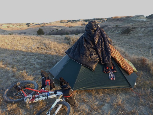
Go-Lite Hex 3 with non-mesh inner tent by Bearpaw Designs.
The Dream of Crested Butte to Boulder
Circa 1997 when the gear was older school…
The sublime events of a long ride, whether they are the incredible singletrack spitting out into meadows filled with Chiming Bells and Indian Paintbrush, climbing over panoramic mountain passes, or attaining a long-rehearsed dream are simple and pure.
Death Biking over Pearl Pass
When a trip starts out with thunder and rain delays a weak-minded lout might construe the upcoming proceedings as a looming omen. I did not bother to ruminate over the hit-you-in-the-face fact my first attempt to ride up Brush Creek Road and over Pearl Pass was rudely met with a rare, early morning Mother Nature deluge. I was hypnotized by the dream, the lure of what lies over each and every hill and pass.
Hours later, the road tacky and in good shape I actually set out on the bicycle proper. The climb, a reasonable affair of punchers and spectacular views, rolled along nicely until the mountains truly took hold with long, loose, steep sections. The fine art of walking my bike began near tree line just as the thunderheads appeared, the lightning cracked, and hail pelted the area. Ditching my bike up high, I tucked tail and ran back down into the trees and threw on all my clothing like an overzealous mother dressing a boy for a snow fight. Deafening lightning surrounded the pass, and the wait between explosions and white flashes became instantaneous and horrifying.
When the clouds dispersed I started back up the pass, fearing my bike had been melted into some unrecognizable mass. I found it safe, although a tad shaken. Picking my friend up, I looked further up the pass and saw an open Jeep. I cautiously approached and found the Jeep had a broken axle, a spilled cooler on the ground (I helped myself to a cola-I would have liked a ham sandwich), and not a soul around.
I pushed on, literally, and reached Pearl Pass in a few heart-pounding minutes. Clouds and mist hung in the lower valleys, snow still hung in the north gullies of Castle and Malemute Peaks, and extremely rough terrain lay ahead. I took a couple of quick photos and jumped back on and into lose rock-puke. In Aspen I headed down valley only to be met by more torrential rain and a nagging voice in my head to stop and have a burger in Woody Creek. In the end, I rolled into my first overnight stay.
Link to Ruedi Reservoir
The days offering on the plate entailed cruising up Woody Creek Road to Lenado, then bust out on a connector trail that hopefully met the east side of Ruedi Reservoir. The warm up past Hunter S. Thompson’s compound cruised by then the mountains reared up, and I spun for an hour searching every drainage and faint 4×4 road for the proper turn (maps do not help like a GPS track). After eliciting my normal “Where the fuck is the trail?” routine a hundred times, I made up my fickle mind and started a superb section of singletrack that contoured Porphyry Mountain’s dense pine-covered slopes.
When I reached the first real downhill, unaware that I had actually located the right intersection, my mind roamed over the decision I had to make. Stick with the trail ahead, not knowing if it made the connection I desired, or turn around. Full of adrenaline, I pointed the wheels down and raced on an old roadbed through aspen groves and through a secluded mountain home retreat. In a minute, the Reservoir appeared. Right on track. Clean, searing adrenaline rushed through my veins after navigating through thick woods with infrequent trail markings, no previous descriptions from knowledgeable sources, and only two days into a six-day trip.
As soon as I pointed the wheels down to Basalt a headwind of epic proportions hit me squarely across the chest and nearly stopped me on the blacktop. On each hill’s summit I met a nasty, un-relentless gust, then a little relief on the downs, and straights felt like battling a wind tunnel.
Hagerman Pass and Leadville
The next day’s pleasant dirt road grind began near the small enclave of Meredith, a collection of hamlets east of Ruedi Reservoir that beckon any tired soul to relax. There would be none of that silliness. Past Chapman Reservoir and cascading Ivanhoe Creek, I headed up to reach the flats before the final push to Hagerman Pass. A couple of hours of deep metaphysical meditation followed, filled with female physiques and chocolate shakes. Reaching the pass, I encountered the all-too-common Texicans with Jeeps. Their gaping mouths showed their disbelief at my audacity. It only took a moment before the curious ones came over like curious marmots to confirm the unbelievable sight.
With a couple of good photos in hand (I felt it necessary to confirm my ascent after the Texans showed such disbelief) I headed down to Turquoise Lake listening to Kind of Blue by Miles Davis. Rolling into Leadville, I couldn’t have been happier. All I needed were two spaghetti dinners and a pizza to fill my belly’s void.
Tennessee, Kokomo and Searle Passes
Day four started especially early to beat the afternoon storms. The climb up highway 24 from Leadville to Tennessee Pass had not begun to warm from the frigid night. A low-lying fog hung over the valley, and the moist air added to the chill. At the top of Tennessee Pass the Colorado Trail followed an old railbed through meadows and then the sun hit, warming every tree branch, flower and beaver pond. The trail finally decided to go singletrack and surpassed all others I had crossed. Passing Camp Hale in a fury, the Colorado Trail ventured up, up, up.
Once above tree line I focused on the present. Plenty of revolutions and tenacious Sulfur Paintbrush helped me reach Kokomo Pass and a disheartening view of Climax Mine. Bartlett Mountain literally ripped apart for the Molybdenum in my frame. How I could be so down on the mine’s destruction while riding this contraption that kept me from harms way; its’ ability to race down a mountainside ahead of a storm, was tangibly ironic.
Rolling through the tundra between Kokomo and Searle Passes, with another high pass dream fulfilled, the dream almost shattered. A sheep herd ahead with large, hungry, determined dogs ready to gnaw my leg off and rip out my pounding heart caused unfounded concern.
On the other side of Searle and just ahead of an incoming storm, I momentarily spread out next to a tarn and soaked up the serenity. A kaleidoscope of wildflowers hugged a babbling stream and waved softly in the afternoon breeze. I floated down the classic singletrack to Copper Mountain as the storm moved north to Vail Pass. The last miles to Silverthorne were mellow as I cruised along the bike path.
Winter Park Let Down
Day Five involved a section of the GDMBR over Ute Pass, then over another minor pass that had the nagging aggravation to never arrive. My driving force to reach Winter Park was the upcoming opportunity to ride the Tipperary Creek trail. I had great expectations as the Tipperary had a good reputation as a must do trail.
When I rolled onto the trail I encountered an old wide roadbed that squashed my psyche. Only short sections through flat pine forest gave me pleasure. When I hit the final forest road, tired from the all day grind, I set my sights on a hot tub and put what pedal to the metal I could muster. After a two sandwich, two bags of chips dinner and hot tub encounter, I looked ahead to my final day and home.
Rollins Pass and the Setbacks…
Day six I started out early to reach Rollins Pass. Surprisingly strong and determined I pushed hard until the elevation and steep sections put me in my place. With the pass and ubiquitous SUV’s in my sights, the thunder rolled. Not a second to lose, as Rollins Pass requires hike-a-bike sections, I grinded upwards as the sleet started to fall. What happened next can only be described as fucking bullshit. Not a hundred yards over the pass, my seat post snapped, and my gear fell on the wet tundra. I stopped abruptly and stood looking at my shortened seat post. Hail pelted my helmet. I stood still wondering what the hell I could do. As the horizontal hail hit my eyes, I snapped out of my predicament and stuck the short seat post in the frame and headed down with an unrequited vengeance looking similarly like a scared child on a Big Wheel.
I made it to the trees only to be thwarted again by my one and only flat. I had just got ahead of the hail and sleet but had to make a dash for the woods to beat another round of cold. I changed the flat like a NASCAR pit crew and jumped aboard my Big Wheel for the final 40 miles. The flats ahead, knees nearly smacking me in the teeth, passed by with many chuckles as I truly knew I had made the link, but I looked like a freaking idiot, which made me laugh out loud.
Once on pavement and forest roads I made good time and flew down into Boulder Canyon. I spun as fast as I could, and then stood up to relieve the ache in my compressed spine from the Big Wheel effect. Once on the canyon bike path, I finally let myself relax and smiled the good smile. The above tree line riding came to mind and the never-ending draw the high mountains, the alpine wildflowers, the thin air solemnity contain.
Thanks for taking the time to be sublime!
P.S. Made up my own route from maps (no GPS back then) that come in around 260 miles.
After reading trip reports of Grand Loop riders raving about the remoteness and scenery of the Kokopelli, Paradox, and Tabeguache Trails, M and J declared that it was their duty to inspect the area for themselves. With limited vacation time and touring experience, the whole 360 mile track was a bit too much to tackle in one shot. J had ridden the Kokopelli on an earlier (supported…boo!) trip, so that leaves two trails worth of wondrous unknown.
The plan was to start at the BLM Dominguez Campground, directly on the Tabeguache Trail, ride west on a bevy of double tracks and a bit of singletrack, pop out in Gateway, and then suffer up John Brown Canyon to find the Paradox Trail. From there, follow the Paradox Trail, with the newer Nucla route, to its terminus at the junction with the Tabeguache Trail. Next ride the Tabeguache Trail back to Dominguez Campground. Sounds simple, right? Not so fast bikepacking rookies!
The only other campers at Dominguez Campground were a handful of mice hoping for a sloppy consumption of the breakfast goods. After filling up on an excessive amount of eggs, bacon, and super fuel coffee, the pair loaded their steeds and hit the first pedal strokes back up the switchbacks of 24 4/10 road, with the “Filthy Wasted Body and Souls” (FWB&S) meter on zero.
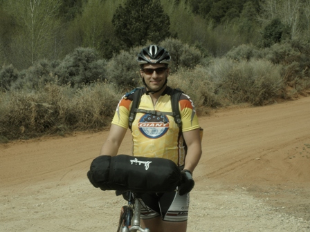
J and his undisciplined handlebar bag. Can you believe only a sleeping bag was in there? Never again…
M rocking his streamlined Revelate Designs gear. Putting a water bladder in the frame bag (each carried two 70oz bladders) was an excellent strategy to save weight in the backpack.
Divide Road provided some headwinds, but also some great views of Carson Hole and Casto Reservoir. Taking a hard right at Divide Forks on Uranium Road (404), the track became more trail-like than road-ish. Rim Trail (416) to 607 was quick, and suddenly a sharp downhill singletrack lay ahead with incomprehensible views abounding. Unfortunately, the singletrack was almost immediately unrideable. Reaching a trail sign which indicated that going left was allowable for bikes, and right was hiker only, M & J chose left, thinking that the singletrack in the basin below would be under their wheels in no time. The track was mostly overgrown, and then headed into a wooded hillside. Challenging terrain of deadfall, snow banks, and finally a vanishing trail led to a struggle of man and bike versus nature. An hour or two was lost to cross-country bushwhacking through scrub oak to get to the visible trail below, with the pair emerging with merely a few scrapes, bruises, and huge smiles.
Road Closed? Excellent!
One can only imagine this trail with fall colors…
Cooling off.
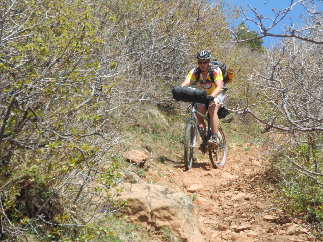
The gnar (for a loaded bike)…
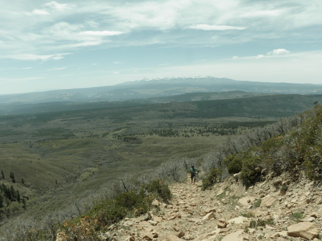
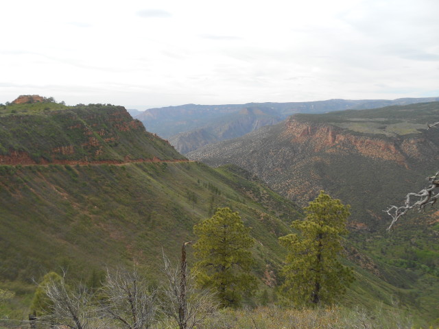
Pine Mountain on the left
Time to roll and find that Ute Trail singletrack, and make up for lost time (later found out to not be Ute Trail). Ended up taking 607 – 405.2C – 405.2B – 405.2A – 405. But at the turn-off for what was thought to be the Ute Trail, a sign indicated that the area was closed – shucks. No matter, a detour up Pine Mountain, and a screaming descent down 6.30 road to Highway 141 was served up, brake pads smelling like an electrical fire. An ice cold Cherry Pepsi at the Post Office breathed some life back into the travelers.
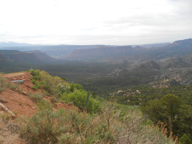
The nice folks at the Gateway Resort were kind enough to let M & J fill up their water bladders and bottles (albeit politely out of view from the newly arriving Clients). What a beautiful location for a resort!
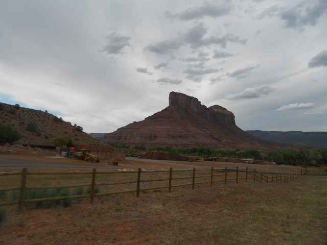
Getting late in the day, the grind up John Brown Canyon was going to be a challenge. 10 minutes of rest from a broken chain was welcomed, as was the “accidentally” spilled bag of Reese’s Pieces on the ground. Handfuls of those tasty morsels go just fine with Western Slope dirt, especially with the FWB&S meter crossing the 7 point threshold. After following a seemingly endless fence with No Trespassing clearly marked, a sheltered spot at the Utah State Line was found to bed down and rest up for the following day’s challenges. A little bourbon always makes the ground a little softer for sleeping.
Day 1 – 48 miles, +6312’ / -6167’, 6:42 Rolling Time, 10:40 Total Time
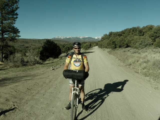
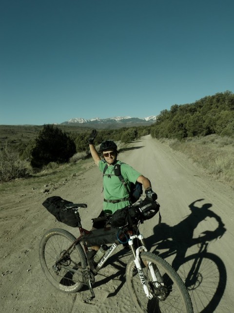
Ride’em cowboy!
Nary a cloud in the sky to start Day 2 – this was going to be a good day. FWB&S meter back down to a 1. It turns out that the cattle guard that was crossed the previous night was the CO/UT border!
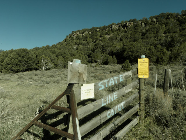
Wonder if this guy was stymied by J’s excellent bear bag hang?
It wasn’t long until rubber hit the Paradox Trail, and the terrain was just flying by. A couple of horses required the right gestures and password to allow passage, but no protocol was broken.
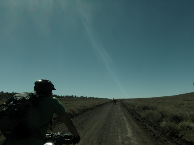
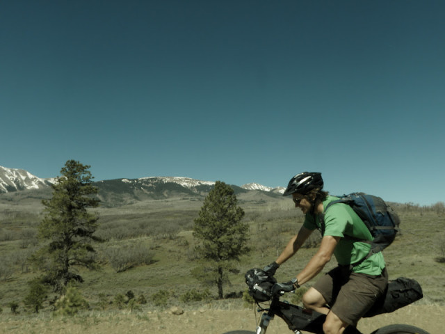
Up, up, and up the pair pedaled into the foothills of the La Sals, with an ocean of aspen trees appearing below. A few herds of deer thought that they could keep pace on the descent to Buckeye Reservoir – silly deer. The reservoir provided a shady resting spot and some chunky water.
Climbing up to Carpenter Mesa, the former Paradox route to Bedrock was never discovered on the spot, but could be seen across the Paradox Valley from much further down the Mesa. The road across Carpenter Mesa is a bikepacker’s dream: flat-ish terrain, expansive vistas in multiple directions, a few slickrock patches to make one smile, and the easy miles just rolled by unnoticed.
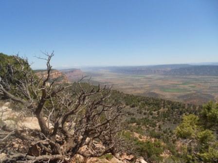
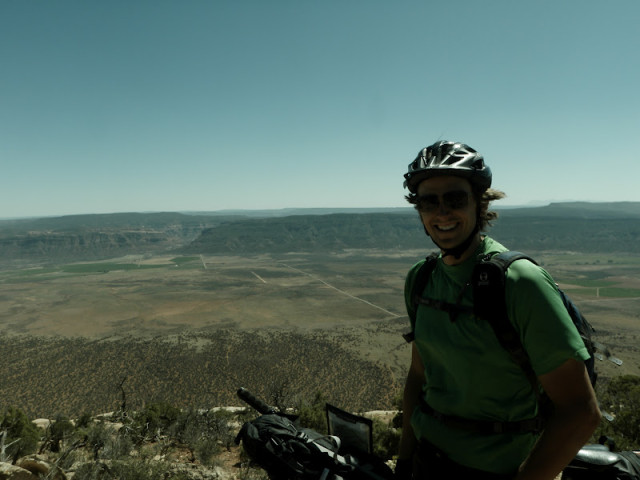
Red Canyon – oh dear. The first few pitches down were interesting, but treacherously loose. Then it was almost half a mile of huh? A few 4-wheeler tracks could be seen, but the skill to ride up this section was difficult to imagine. Biking this route in reverse might have induced fetal position sobbing – not sure. But then, just as the wobbly talus-like slope seemed infinite, the trail turned super fun! Slickrock, drops, fast turns, stretches of sand for surfing, everything rideable and enjoyable. The only regret here was hitting this section during the heat of the afternoon – wow was it hot. (Note – tires with more floatation are highly recommended for best enjoyment of Red Canyon. J won the Sandcastle Award (the name is supposed to sound lame) on this stretch on his measily 26” bike).
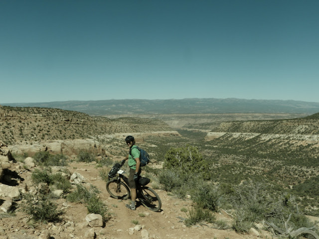
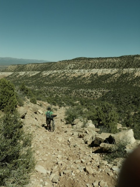
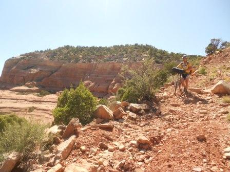
Again with big smiles, M & J exited Red Canyon and wheeled their way downstream on Highway 141 next to the Dolores River enjoying views of the blue-green cliffs until the turn off to the road climbing next to the North Fork of Mesa Creek. Twists and turns on this nicely graded road eventually led to a crossing of the North Fork, where legs were dipped, the water supply was refilled (amongst the many cowpies), another anthill was discovered by accident, and mass calories were devoured. Paralleling the South Fork of Mesa Creek, the late day climb wound its way into some remote ranchland. J decided to try his hand at cowherding.
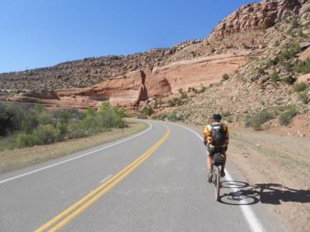
Boo pavement…
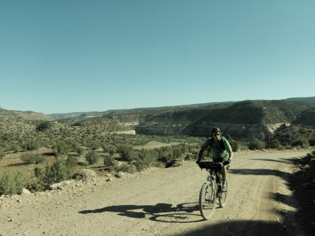
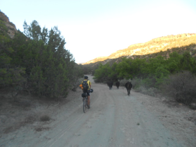
Camp #2 was discovered as the FWB&S meter was creeping up into the 6 or 7 range, on a spit of land over the creek, where some nice person(s) had previously created a stone fire ring and stacked a good amount of extra dry wood. J’s battle with the cacti was one for the ages, with each side gaining the upper hand at various points. Some blood was shed and spines were hidden by rock piles, but in the end, a truce was declared between the foes. Until the next morning when the cacti successfully executed a sneak attack on J’s tire prior to the start of Day 3, ending with some swearing, a disembodied valve core, and then even more swearing.
Day 2 – 56 miles, +5211’ / -6941’, 6:35 Rolling Time, 11:30Total Time, 2 people seen?
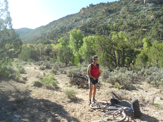
Another gorgeous morning kicked-off Day 3. Again there were no clouds, but it became increasingly obvious that it would be a hot one if M&J didn’t get a move on as early as possible. After J’s epic battle with the local flora (cacti), and one remaining spare 26” tube, it was time to push, and sometimes ride, the Koski Traverse portion of the Paradox Trail. Starting off was a lung burner steep, consistent climb, then into the hill repeats and repeats and repeats… The remoteness was remarkable, with views of the now distant La Sals, which was a real shot in the arm to morale.
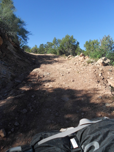
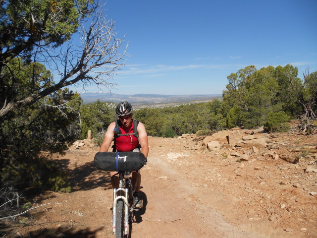
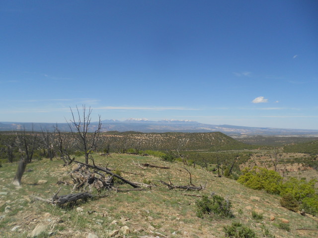
Gremlins managed to work their way into J’s rear tire after a pinch flat on some downhill chunk. This kept the pace leisurely, but these boys had a deadline in Nucla. Running low on iodine and stove fuel, it was time to get a move on. After flat tire number ~7, it was obvious that J’s tire situation was not going to get him to Nucla by store closing time. Talk ensued of A) M riding ahead to resupply B) Making camp and hoping for arrival in Nucla on the morrow C) High-tailing it (aka pushing bikes) over a shortcut onto the Plateau. After a lengthy debate and poring over the maps, the pair conceded to the Paradox and started walking. The last 26” tube was cemented, clamped, and carefully stowed, with hopes of it regaining full strength after some hours of curing.
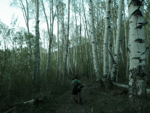
The 13 miles and 3500 feet of elevation slog up U52/U55/668 to Divide Road took nearly 7 hours, but M & J arrived at Divide Road just before midnight to much rejoicing. The repaired tube was placed back in J’s rear tire, and pumped up to full pressure. After some chanting, dancing, and false promises to unknown beings, it was obvious that it would hold for the time being – woohoo!
Next decision: camp along the road with about 1.5 liters of water to make it back, or take advantage of the SUPER MOON and roll the last 30 miles back to the truck. With the last of the stove fuel, a pot of coffee was prepared, along with the last dehydrated meal. The bikepackers consumed it all in earnest, while M writhed in the middle of Divide Road with abdominal cramps. The salty food took care of the cramps, and all clothing was donned for the frosty trip along the Plateau. The only allowable stops were for sharing of the last water and chocolate-covered espresso beans (once thought to be rocket fuel, now enough calories and caffeine to keep limping along). Views of the surrounding Plateau were incredible, and the elk and deer population kept pace at times. Around 3 AM, M & J sand-surfed their way into the Dominguez Campground, while laughing maniacally at the curious hallucinations in the dusty moonlight.
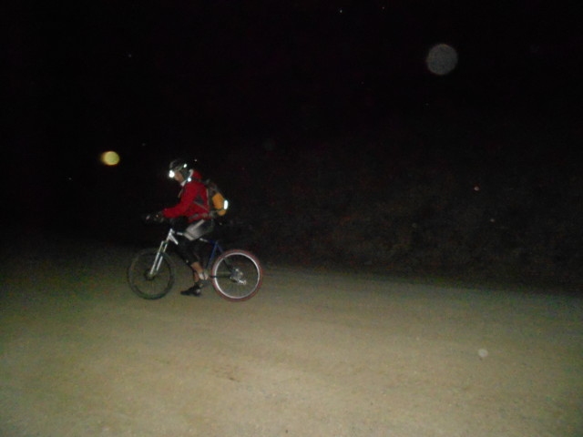
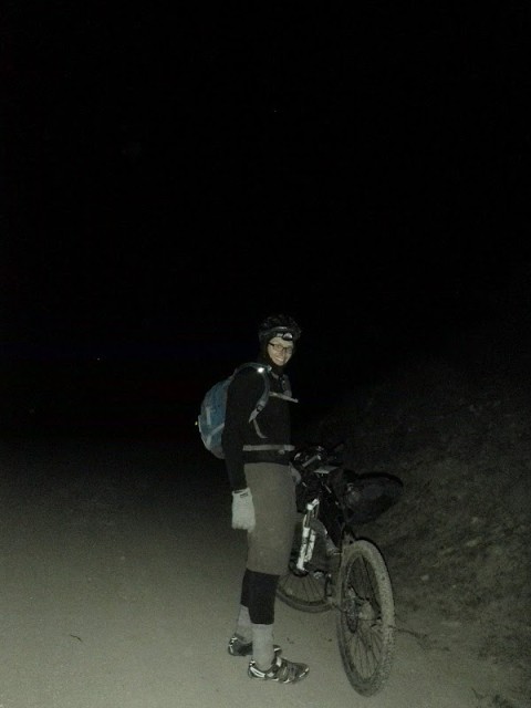
Day 3 – 59 miles, +7615’ / 6013’, 9:47 Rolling Time, ~19:00 Total Time
After chugging a gallon of water each, taking down the entire bag of Fun Size Snickers, and blasting the vehicle’s heater at full force, the uncontrollable shivering eventually waned. The heroes laid out sleeping bags in the sand and passed-out, knowing the bikepacking portion of their trip had ended safely and successfully. Another trip will need to be planned to bag the Tabeguache Trail.
As lucky consequence would have it, J’s frame broke the following day 3 miles into riding some “pity make up trail” near Cortez. It would have been much more epic if failure would have happened in Nucla!
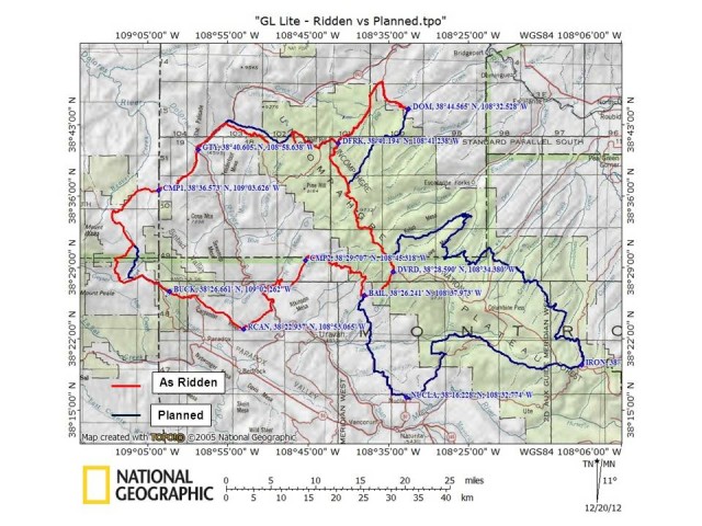
Lessons Learned
-Bring more water treatment than you think you need. We allocated ~1gal/person/day and ended up drinking 50% more each. Iodine tablets weigh nothing and take up no space.
-Verify quantity of critical items (ie iodine tablets). Perhaps pour into a baggie to be able to see the quantity (and probably save some weight on the glass bottles).
-Consider running tubeless or slime tubes in the desert. Swapping tubes for a single cactus spine opened the opportunity to ruin a valve stem/spare tube.
-If carrying anything on the handlebars, a stuff sack with straps is not very secure even with a lash strap to the head tube.
-Hard plastic mountain bike shoes are not as great at bike pushing as rubber soled bike shoes.
revelate designs
salsa/ surly-
big fat larry-
December 15th, 2012 in
Trip Reports | tags:
bikerafting |
8 Comments

I’m mostly a bike tourist, but I recently looked at how you could apply some bike packing ideas to carry gear on a bike tour. My usual set up is a front Ortlieb handlebar bag and a Carradice Camper saddlebag. I don’t use a backpack as I can fit all my gear and supplies necessary for an extended tour into those two bags.
Recently, I realized that my front Ortlieb Classic and my Carradice Camper bags weigh 3.5lbs. I tried to console myself with the thought that a single Arkel touring pannier weighs the same, but it was no good, my bags are one of the heavier items of my touring gear. Now that I tend to tour on a Cervelo RS, my bike and gear weight is 38lbs, so my bags are almost 10% of the weight I carry.
Lightweight and ultralight tourers are always looking to save some weight so I wondered if the rackless world of bikepacking could help. The bikepacking approach has a lot in common with my rackless traditional saddlebag set up, but uses lighter nylon stuff sacks. A drawback of these is the difficulty getting at stuff at the bottom of the sack. The traditional saddlebag has a nice big opening making it easy to pack and find stuff. Also bikepacking seems to use an awful lot of bags…….
a seat bag (Booster rocket) = 11oz
a small frame bag = 9oz
handlebar harness (mission control) = 12oz
gas tank = 4oz
backpack = 12oz
…and the weight quickly starts to add up, even if you do use material that’s lighter than cotton duck. Another consideration is that these bikpacking bags are mostly made by small businesses, so they can be expensive, with a complete set costing several hundred dollars. I wondered if the truly ultralight minded (and budget concious too) could just use a couple of dry sacks strapped to the bike. That would be lighter and less expensive. Tough 20L and 10L compression sacks and some cam straps could carry your gear in a way that’s almost as convenient as a bike packing set up for a fraction of the cost and they’d weigh well under a pound.
So here is my attempt at “bikepacking”. Using a 20L eVent Seat to Summit compression sack on the back and the 10L size on the front. The bags are far from full and I have packed my all the gear I just used for a three day tour to Portland; so tent, sleeping pad, sleeping bag, cooking equipment, clothes food etc.
The seat pack needs no extra straps. The bag is held against the seat post by the thick fabric band on the bottom of the bag. This needs the seat post to be removed and slipped inside the band….so this is not a quick release bag. Then two of the compression straps are threaded through the saddlebag loops, but the saddle rails would work as well. Some tightening of the straps and it’s very stable.
The front takes two cam straps to attach the bag to the handlebars and one compression strap is threaded through the bike frame to stop the bag bouncing up and down. The tent poles are strapped to the top tube in this picture, but they are better carried underneath the front bag. The cost is about $70 and the weight is under a pound reducing my bike and gear weight to around 36lbs. Other bags would be lighter and less expensive, but not as rugged. The set up is not particularly convenient, but it is solid.
November 16th, 2012 in
Personal setups |
18 Comments
So this summer I was lucky enough to be riding the Great Divide Southbound, starting in Bnaff and finishing in Antelope Wells.

(Somewhere In NM, the only “Great Divide” sign I’ve seen… at that time of the ride everything was packed neatly)
I had about two months of internet research to get ready, and about 3 weeks in the states to find a bike and buy some gear as I was trekking in South America beforehand. I was lucky to find a used Salsa El Mariachi Titanium on Craigslists.
The Packing Philosophy and System used:
As I had some bike packing experience, and realizing that most of the time I’m gonna spend riding my bike, I tried to go light and to haul the least objects I need. There are a couple of important factors in choosing equipment and packing that needs to take into consideration such as: weight, packing size, price etc.
I was trying to get rid of most things I knew I wouldn’t use on a daily basis or that would not risk me If I didn’t take them. That way I didn’t pack extra riding clothes, and a lot of food utensils.
Also, the less things you have means less time Packing\unpacking, which usually takes a lost of time.
that Philosophy proved worth as I could ride my bike in all climb sections which considered to be a “hike a bike” sections, and to really enjoy going downhill and not worrying about speed or maneuverability.
I used Revelate Designs’ Bags – the Bigger version of the seat-post bag, the Viscacha, the Sling handlebar bag with a Large “Pocket” on top , the El Mariachi Frame bag, and both of the top tube bags.
As I don’t like riding with a backpack, I didn’t take any with me.
I don’t like riding with a backpack because it makes you sweat more and usually causes shoulder pain.
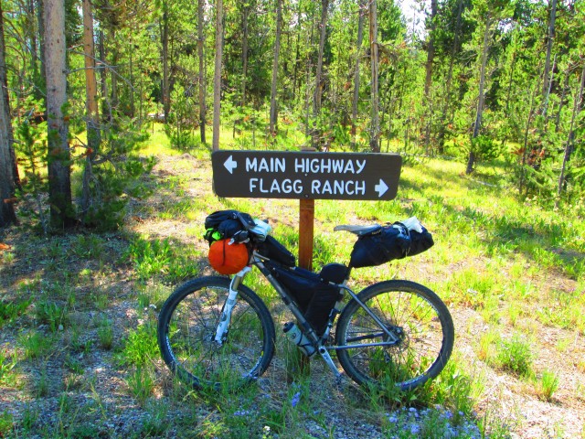
What did I pack ? (Probably missed a few items)
- Camping
Tarptent Contrail Tent
Homemade Penny can stove with ~12 oz of denatured alcohol
Evernew TI 0.9 Wide pot
A 20 F Sleeping bag
POE Peak Elite Sleeping Pad one spoon
a really small swiss army knife
a basic head lamp
a sleeping bag liner
Bear spray
A Swayer Squeeze water filter with a 2 Liter water bladder for filtering.
- Clothing:
I used one set of riding clothes – one riding jersey and one set of cycling shorts, underneath cargo shorts. I got rid of the cargo shorts after a couple of days.
Montbell UL Down Jacket
Long sleeved shirt
2 sets of thin riding socks
SealSkinz socks
Arm Coolers and Leg Warmers
a Beanie
a hat
a simple plastic rain jakect and rain pants
- Electronics
iPod, Cellphone(+extra battery), ACR ResQLinq PLB, digital camera, a kindle for reading and for the Great Divide guide book.
I had a AA-Charged Battery so I didn’t need any camera charger, and used the same charger for my cellphone and kindle.
- Misc
Wallet, maps, sunscreen, first aid kit, toiletries… Luckily I didn’t need anything from my first aid kit.
- Bike setup and bike-related equipment
A Medium Salsa El Mariachi Titanium, set up with full XT (brakes, Derailerus ,shifters, crank, crank arms and pedals, etc) , a 11-36 cassette and two
22-32 Chain rings and a bash guard.
a pump
some bike spare parts
3 – one Liter water bottles
2 – one liter Platypus bladders
a 3 liter bladder with hose
ATV “Snakes” tubeless repair kit a spare tube and an extra portion of Stan’s Sealant
some bike repair tools.

How did I pack everything ? (What goes where ?)
- All the clothes and the pot + the stove were packed in the Viscacha, and I had some extra space for food if I needed. As I encountered some really heavy rains I stored my clothes in a sil dry bag inside the VIscacha, which was waterproof to some extent but not completely waterproof.
- The smaller side of the frame bag contained all the bike repair tools and spares, and the bigger compartment contained the denatured alcohol for the stove, the pump and food. It’s not always a good idea to keep food and denatured Alcohol together as denatured alcohol is VERY Toxic, so I always made sure all the food I had in this compartment is closed and sealed,. I used reliable small (8 oz) Nalgene plastic bottles and made sure that the alcohol is not leaking.
- I used a 18 Liter dry bag to store the tent, the sleeping bag, sleeping pad , sleeping bag liner and food for dinner or food I didn’t plan on eating that day.
- I stored Energy bars,snacks, and some more food in both of the top tube bags. I also stored there various things I needed occasionally like a can opener, a swiss army knife etc.
- I used the Pocket to store my wallet and documents, the kindle, iPod, cell phone and sometimes also the chargers if I planned on recharging during the
day or just when I hit my spot for the night.
- I used the pockets in my riding jersey to store my water bottles and the bear spray.
Overall the complete setup weighed 54 pounds including 2 liters of water and 2.5 days worth of food.
I really liked both the setup and the way I packed it. I could camp in relatively fast, I had all the the things I needed during the day accessible.
Tricks and Tips
- Hydration : As there are some long and remote sections with no water supply like the Great Basin , Cuba,NM to Grants, Silver City, NM to the border, Pie Town NM and the ranger station in Gila National forest and some other – you need to have a good water carrying capacity.
In these sections, and some other I carried about 9-10 Liters of water. In order to be able to carry so much water, but be worry free in times when you don’t need so much water, It’s great to use water bladders. They’re collapsible so they don’t take up much space, and when you do need them you can pack them in different places on your bike.When things got rough with water, I packed the 2 Platypus bladders on top of my Viscacha seat post bag, and packed my 3 liter water Bladder on the handlebar packing system, between the Sling\dry bag and the Pockets straps. I can’t say it was awesome, and eventually two days before the end my water bladder was destroyed after being rubbed at the tire, so I packed water like this :
(Couldn’t rotate the photo. anyhow, notice the huge 1-Gallon plastic container on my handlbar. Yes. I was riding like this for about a day and a half. Yes, the handling is even more awful than having full 3 liter bladder on the handle bar. I was lucky that it was mostly flat and paved, otherwise I could have been in some trouble)
- Food: I had oatmeals for every breakfast and sometimes also banana muffins. During the day I had tortillas, lots of cliff bars, power bars and cliff’s block shots. I tried not to eat food which would take my body a lot of energy to digest. For dinners I always had ramen noodles, mixed with either rice, more noodles, mashed potatoes and sometimes also tuna.Here’s a day’s worth of power bars:
- ATV Tubeless Repair Kit : (also called “snakes”) Most riders i’ve encountered during the ride were not familiar with a great Idea for fixing big punctures in a tubeless system. You can get ATV Tubeless repair kit (looks like this) in Auto Depot, etc. It works great once you get to know how to use it. I had a HUGE Puncture somewhere after Rawlins, and kept going with a ridicilous amount of snakes inside the tire for 2 days and a couple of hundred miles. it looked like this :
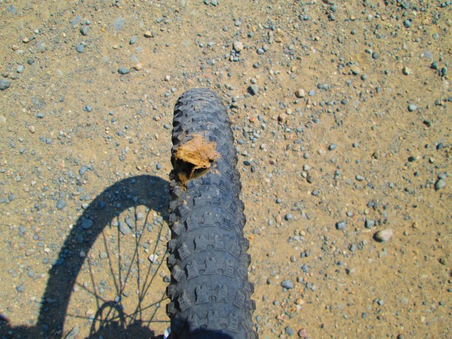
(I had to insert about 3 Wide snakes and 3 small sized snakes into the tire, pour extra ounces of Stan’s Sealant, but after about half an hour of frustration in the middle of nowhere, the puncture was almost sealed and the tire was holding up the air pressure I was pumping in, so I could keep on going)
Happy Riding!
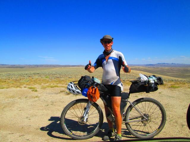
(Taken at the Big Basin by some random jeep owner. Notice the blue water bladder hiding on the handlebar bag, the the bear spray on the Viscacha strap and the 2 emtpy Platypus bladders on top of the Viscacha)
It wasn’t difficult to find a way to self support this short classic ride. Everyone I talked to said either don’t do it or pull a trailer. Yuk. One water filter later with no trailer and 50 miles of the best scenery a day made an awesome trip. If you are up for it, bring a pump filter and alum (if you don’t want to have to clean the filter every 2 liters). If you go clockwise you can hit the green river about halfway for your only close water source at the potato bottom campground. This dirt road is too good to ride bulked up with gear, so it’s a good thing we travelled light.

The Green River

The final climb!

This summer (2012) my wife and I spent two glorious weeks cruising down the Great Divide from Banff to Whitefish. Here’s what I brought with me:
On the handlebars using a Revelate Sling and large Pocket:
- REI Quarter Dome T2 tent – The internal dimensions are a bit shorter and narrower than I prefer, but it sets up really quickly and easily.
- Panasonic DMC-LX5 camera – A great point n’ shoot with good manual controls.
- Adventure Cycling maps – Indispensable for this route.
- Garmin Etrex 20 GPS computer – I never really got the hang of it and returned it when I got home. Didn’t really need it for this route.
- Sandwich baggy full of charging cables and a spare set of batteries for the GPS – A necessary evil.
In the frame with a Revelate Tangle bag:
- Snacks! – The little pocket in the Tangle is perfect for a day’s worth of munchies.
- Spare inner tube
- Patch kit
- Multi tool
- Chain breaker
- Sandwich bag with some small parts for emergency repairs
- small container of methylated alcohol from Canadian hardware store – Canada apparently doesn’t sell denatured alcohol
- Lots of extra space for food
Behind the saddle with a Bagman rack and Carradice Super C saddlebag:
- Platypus GravityWorks water filter – Better than anything else we’ve tried, although a bit bulky.
- iPad 16GB wifi with book cover – Downloaded photos from my camera, updated the blog, checked the weather, searched for accommodations and restaurant reviews. A bit bulky. Looking forward to the iPad Mini!
- Jacks R Better Hudson River quilt – Very light and compact. Shoved inside a waterproof stuff sack with the Neo Air and lashed to the Super C.
- Thermarest Neo Air – Light, compact, comfy, warm, noisy, expensive, almost perfect.
- Smarwool ski cap
- Montbell Thermawrap – Light, compact, warm.
- Long sleeve Smartwool top
- REI adventure pants
- 1 pair synthetic boxer-briefs
- 1 extra pair Aerotech Designs padding touring underwear – A last-minute purchase that proved to be an excellent choice
- 1 extra pair synthetic socks
- 100-foot cord for bear hangs and laundry lines
- Sandwich bag for toiletries – travel toothbrush and toothpaste, small container of liquid soap, film canister of Ibuprofen, film canister of lotion, sunblock
- Specialized knee warmers
What I wore on and off the bike:
- Helmet
- cotton cycling cap
- prescription sunglasses
- Smartwool t-shirt
- Rapha Touring shorts – Get them on sale and they’re still expensive, but I love them and wear them almost every day.
- Aerotech Designs padded touring underwear
- Synthetic socks
- Good old fashioned sneakers (GOFS) – I’ve toured with clipless but prefer the simplicity and comfort of sneakers and platform pedals.
In my REI Flash 18L backpack
- Platypus 3L bladder and hose
- REI somethingorother rain jacket
- REI bicycle rain pants
- Showers Pass booties – It’s nice to have warm, dry feet.
- Wallet and passport
October 30th, 2012 in
Personal setups |
5 Comments
In mid October we took the girls to Grandma’s and ourselves to North Dakota, bikepacking on the Maah Daah Hey trail. One of the nice things about the MDH is that, as far as bikepacking routes goes, it is fairly easy riding, the climbs being measured in hundreds of feet, not thousands. This means even out of shape people like myself can do it and have fun. The other cool feature is that it is pretty much entirely singletrack, and fun riding singletrack at that.
The great thing about modern lighweight backpacking gear and rackless carry systems is that it allows you to ride with everything you need for a multiday trip, but still be able to as if you were on a day trip. this was driven home to me as I was blasting down some very fast prairie singletrack, when a deep rut crossed the trail. I was able to bunnyhop it just fine. The same goes for slow speed climbing and rough highspeed descents, almost as good as regular.
We took a sleeper train out of Minneapolis on Thursday night and arrived in Williston, ND mid day on Friday. After getting our bikes together and our bikeclothes on we took a taxi out to the middle of the trail and started riding around 4 pm. We rode about 14 miles to Magpie Camp It felt great to be out on these empty, windswept plains, far away from everyday life. It started to get cold right away. Since the campground is located in a valley, you lose sun early and don’t get it back till it’s very high up. great in June, not so much in October. We bundled up, made camp and had dinner. At night the stars were beautiful in the clear sky, but someone had forgotten to turn the cows off, so they would occasionally moo in the distance.
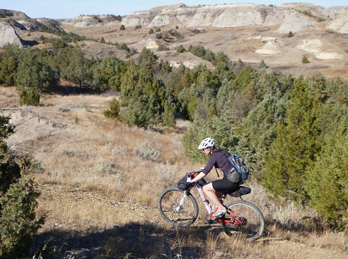
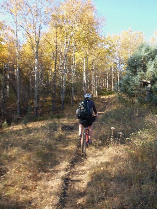
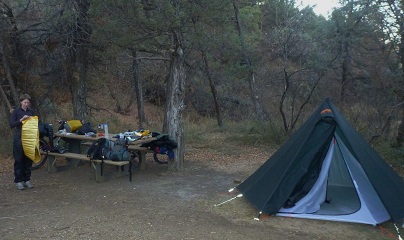
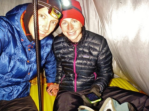
On Saturday we rode about 23 miles to Elkhorn Ranch Camp. This involved crossing the Little Missouri River, wet feet but not much more. Due to the drought this year the river was very low. There is a miserable stretch of trail on this segment, where the cattle have pockmarked the trail when it was wet, which has now hardened into a washboard surface, absolutely horrible! However, like all the other days, there were also some sections of trail that had me hollering with joy as I flew down a sinewy line of smooth dirt at warp speed.
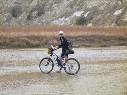
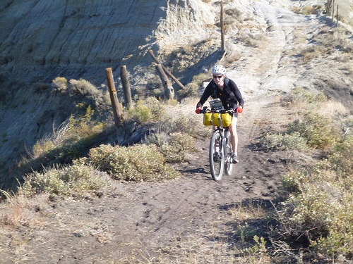
the only snake we saw was this tiny guy;
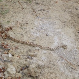

During the night we had a very brief rainstorm and then the temps dropped again, leaving everything covered in ice in the morning.
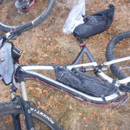
We rode about 28 miles, stopping to get water at Wanagan Camp. Just before the campground the trail passes through a section of petrified forest. There was no sign marking it and some of the fossils looked so real I wasn’t sure they were petrified until I touched them.
We passed some cowboys at work:
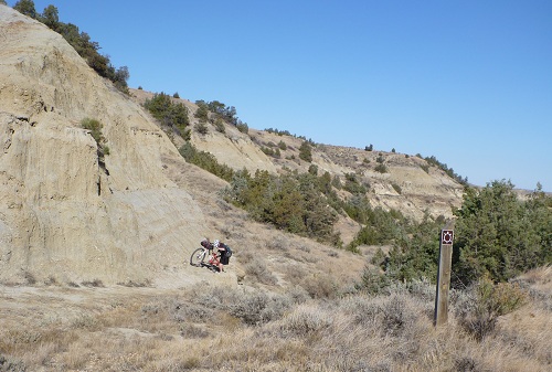
After the campground we rode on onto the Buffalo Gap trail, a detour around the National Park’s south unit Wilderness. We made a dry camp on a windy saddle in the middle of no-where, but with enormous views in all directions.
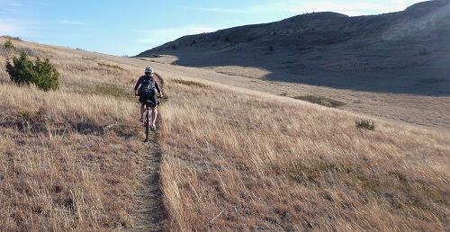
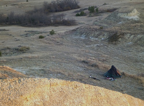
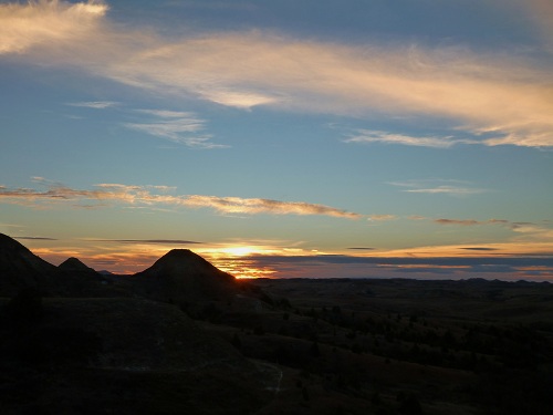
On Monday morning we got up early and rode 8 easy miles to the Buffalo Gap Guest Ranch were we had a huge second breakfast and then got a ride back to Williston.
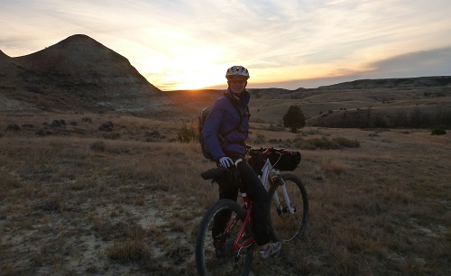
We saw some more mule deer, a white tail buck and some antelope:
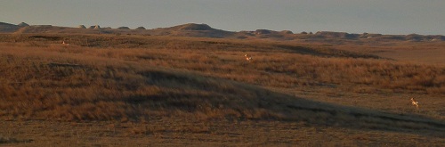
One last look at the prairie before we left:
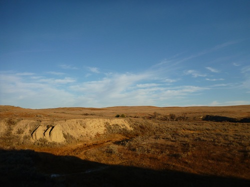
Since the train was delayed, we had some time to kill, so after packing up our bikes and changing into street clothes, we went to a movie in Williston. Once aboard the train we had SHOWERS and a wonderful dinner, then a deep sleep before breakfast in the dining car as we were rolling into Minnesota again.
Took a spin up to Grouse Ridge over the weekend. Grouse Ridge is located in the Sierra Mountains of Northern California. Even though it’s only an hour from my house it’s been years since I’ve been up that way. I fought hard to keep that area open to bikes when it was being considered for a Wilderness designation and have always considered it a special place.
The past few years have seen little to no maintenance from the Forest Service, a common theme anywhere other than the Lake Tahoe basin, which seems to have an endless supply of money despite no apparent revenue stream from timber sales.
I rode a bit down lower on the Upper Pioneer extension and Spaulding Lake trail, just a quick spin as I had worked earlier in the day and wanted to get up to the top of Grouse Ridge before sunset so Sasha and I could head out to Five Lakes Basin for the evening.
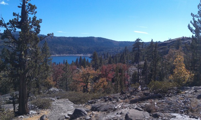
Spaulding Lake Trail
The campground had a few hearty souls car camping as we drove through to the trailhead parking lot. It looks like some money has been spent on the campground, now if they could just spend a bit of time cleaning up the 100’s of downed trees in the area that would be great.
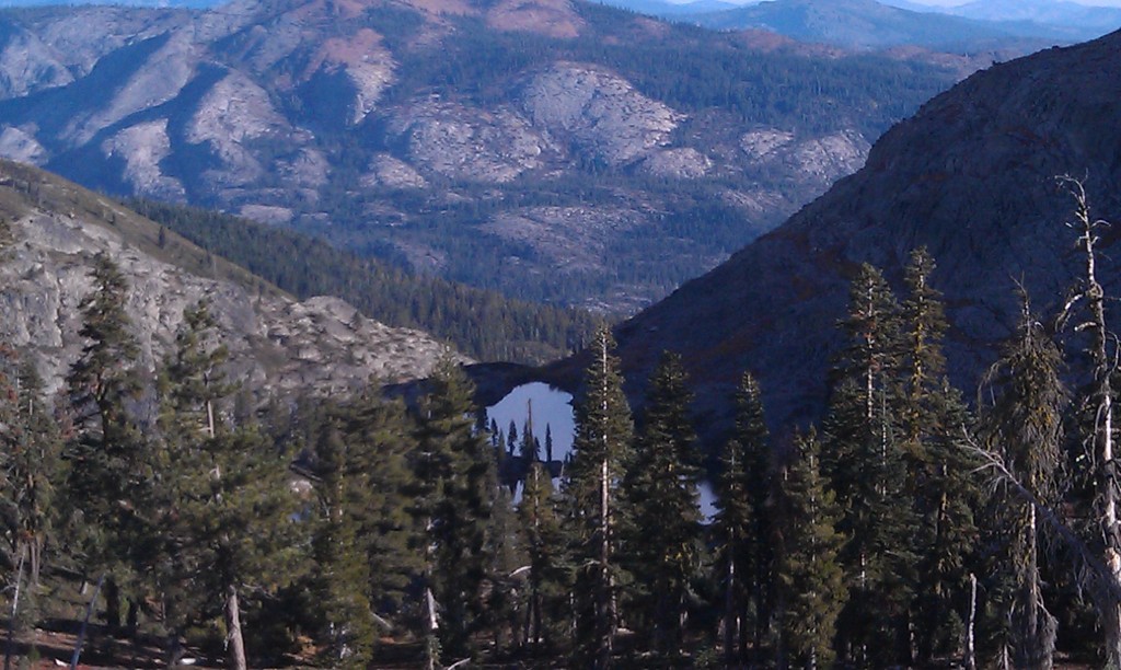
Looking South from the trailhead.
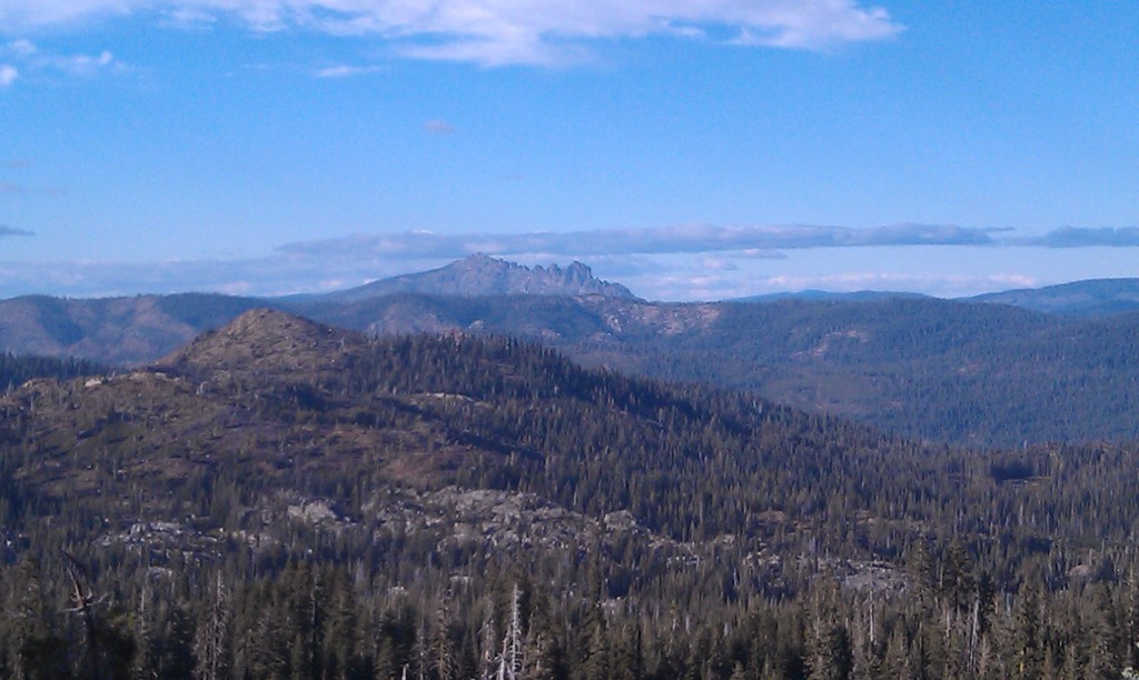
View from the trailhead parking lot
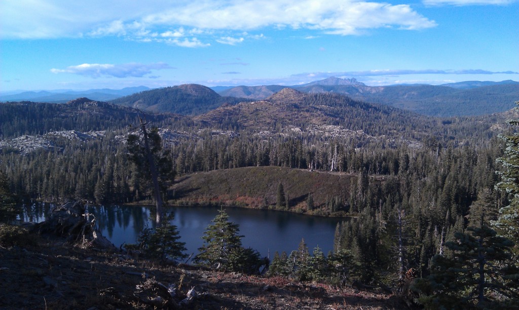
Looking North from the trailhead.
I loaded up hurriedly while Sasha enjoyed herself tormenting some unsuspecting chipmunks. I had just thrown some stuff together in the seatbag and nearly filled my Osprey Talon 22 to capacity before we headed out, I didn’t think I would need the Apline Explorer bag, but it would have been nice not to have to cram all my stuff in my race pack.
We headed out to Five Lakes Basin via the Sand Ridge Trail. The trail was free of downed trees for the most part, but the 1/2 mile hike a bike seemed to have escaped my memory. Once we finally got to the ridge it was all good, lovely views and lighting all around.
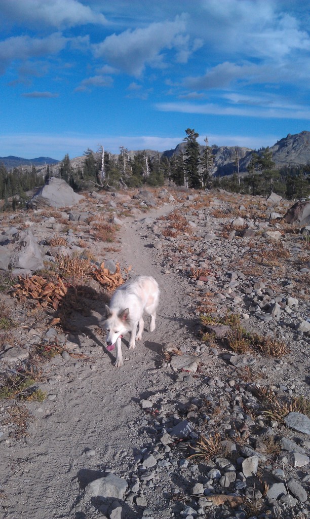
Heading out.
We finally made the first lake, it looked like a couple of other bikes had been that direction recently, I have never continued down that trail to see where it goes, perhaps down to Fordyce Lake.

Home for the night.
After a bit of searching we found a great little spot and unloaded. Sasha promptly found a nice little muddy spot to get down to the water, great, muddy dog in the tent……

Not a bad spot.

Muddy dog feet after a bit of cleaning…..
We hiked a bit and settled in for the night. I knew I was undergunned in the sleeping area as I had only brought my 45 degree bag on what was likely to be a sub freezing night. It gets dark early this time of year and after playing a few games on the I-Pod we were off to sleep. I made it till about 4 am before I was uncomfortable, slept pretty restless till daybreak but overall slept better than I thought I would. Thankfully I had brought my warm sleeping bag liner or it likely would have been a rough night. Sure enough upon waking in the morning Sasha’s water bowl was frozen over…..
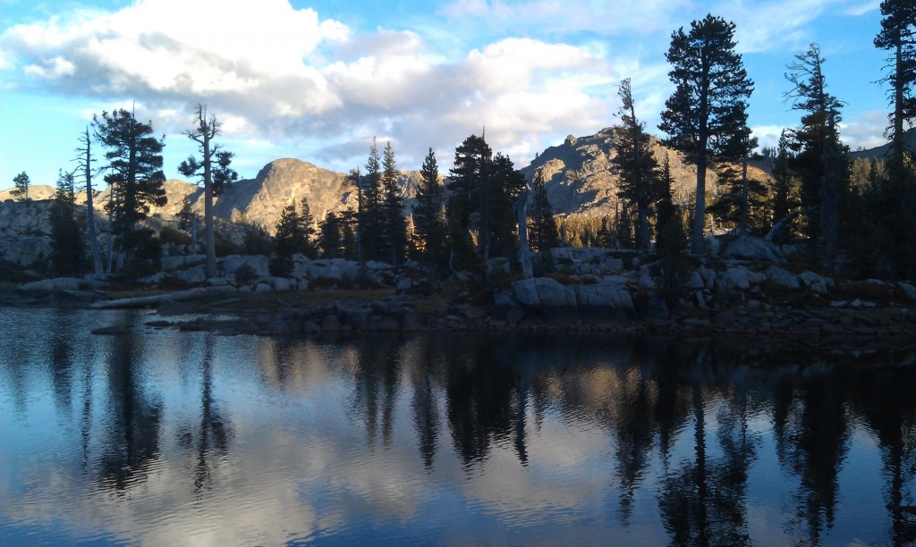
Wonderful light.

Looking for something to chase!
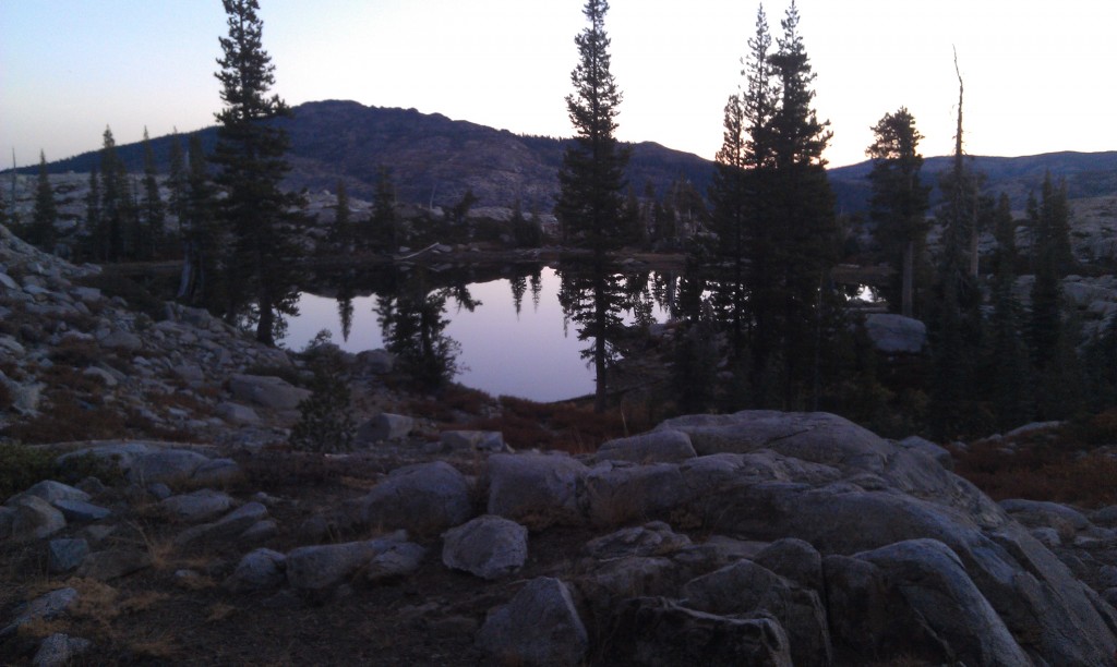
Fading daylight.
It warmed up pretty quickly and after a bit of breakfast we were off for the return trip to the truck. I had a bit of work to do so we headed out pretty early and were back to the truck by 9 am.
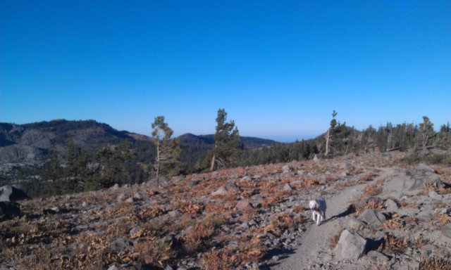
Heading home.
We rambled down the 6 mile dirt road to the pavement and headed home for the day. I nice way to end the year as it looks like we have snow coming this weekend.
October 22nd, 2012 in
Trip Reports |
4 Comments
My last trip to the Adirondacks was in 2008. It was time for a return trip. Various constraints limited me to a 4 day window to squeeze in a 3 day hybrid tour and a 1/2 day of puttering around.
Google Map
Full slideshow (Pics shown here plus maybe 15 more)
A little latter in the fall is preferred for better fall color, but you take what you can get.
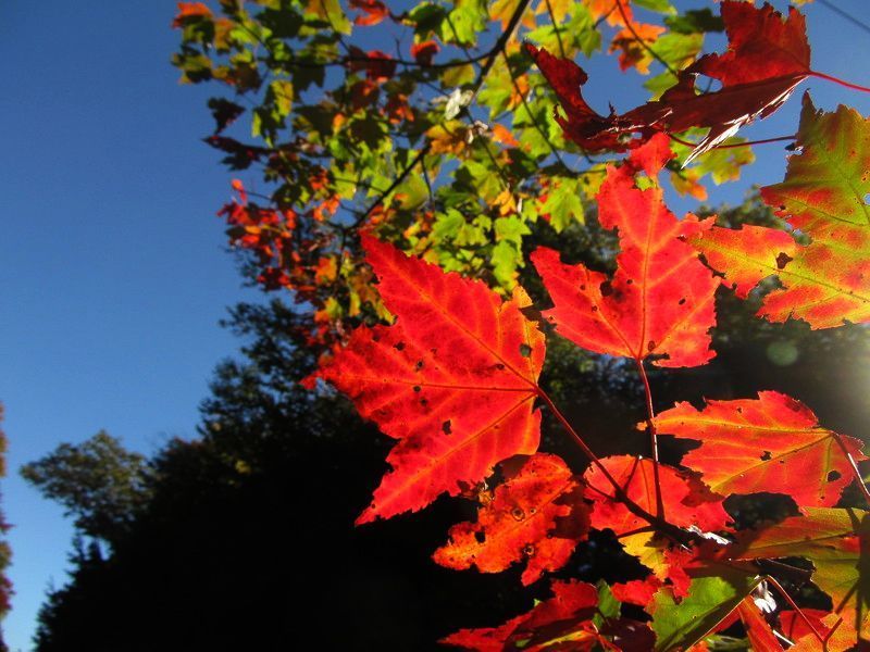
Maple On.
Canoe Portage Landing
Uncas Road Art
The Banana Boat
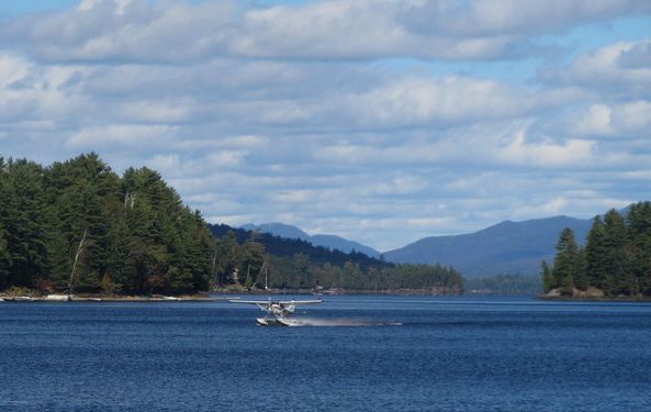
Long Lake Float Plane
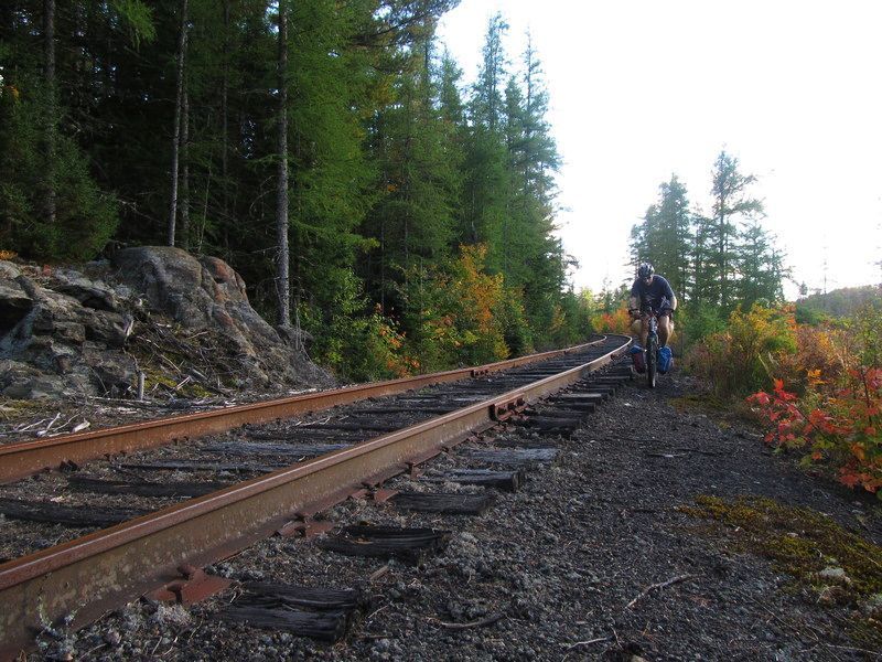
The abandoned railroad tracks… Current events in the region include a discussion to rip up the tracks and convert the railbed to a multi-use/snowmobile trail… this section was quite ridable as is… ballast wasn’t any worse than 2B gravel. If this RR grade was a rail trail, this ride would have been a loop… maybe in a decade? More Info.
Burning Fog
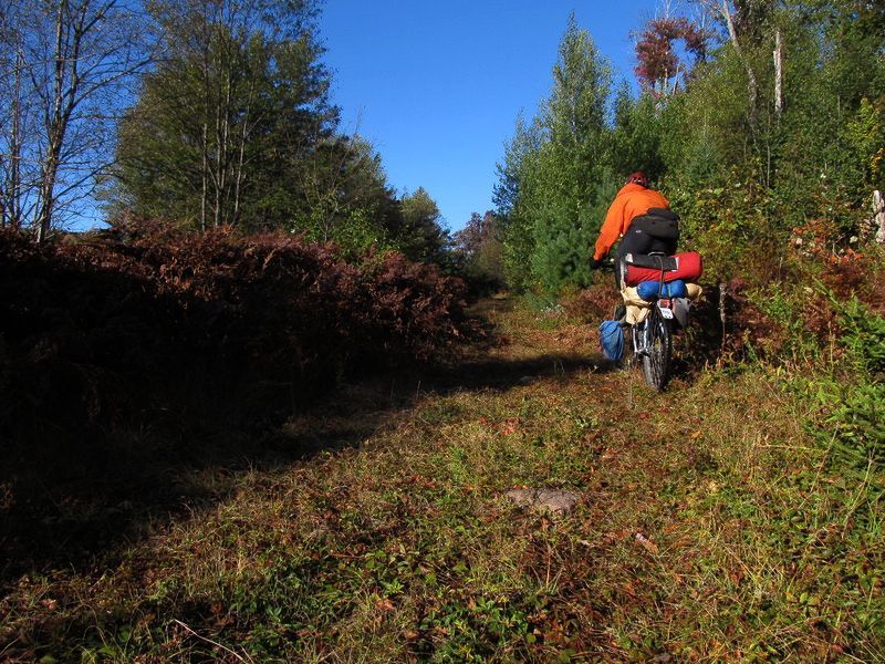
Old Jeep Trail
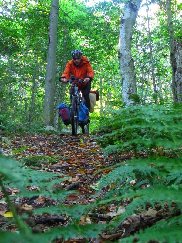
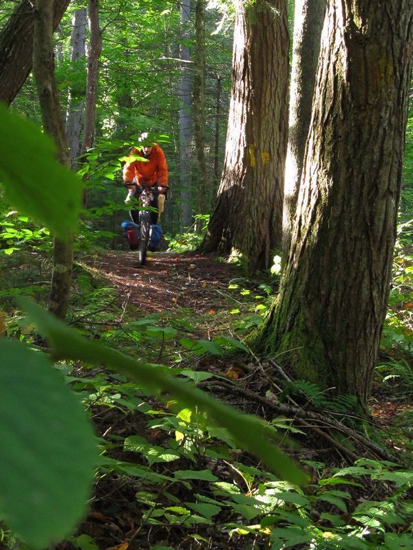
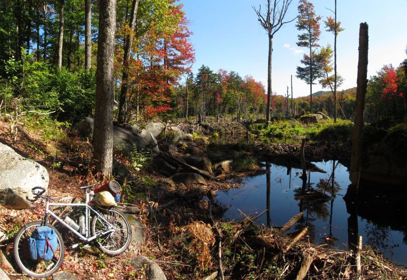
Flood City Beaver Style. There are 3 tiers visible.
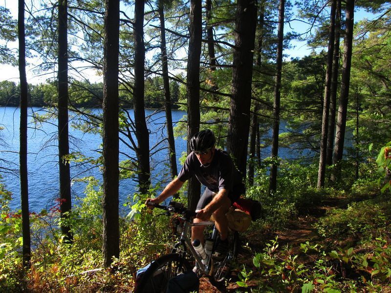
Clear and Crisp
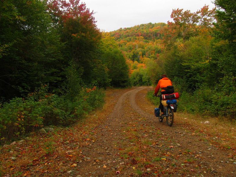
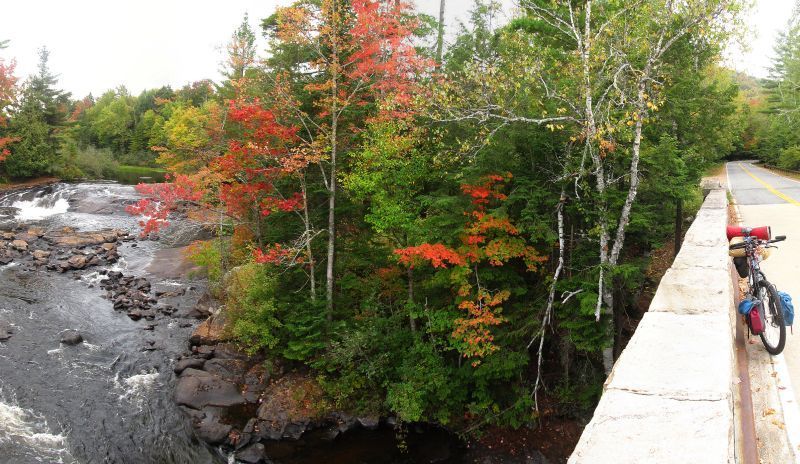
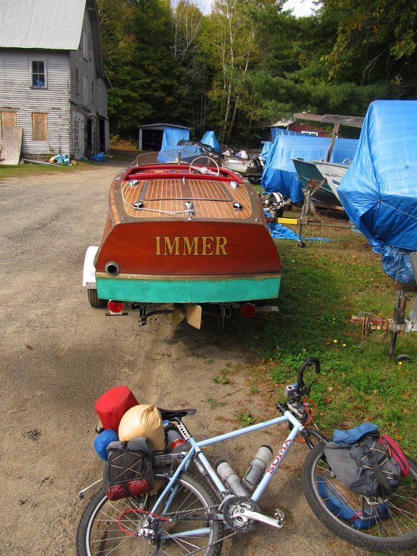
One Classic, One Not
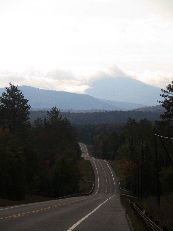
Blue Mountain Emerges
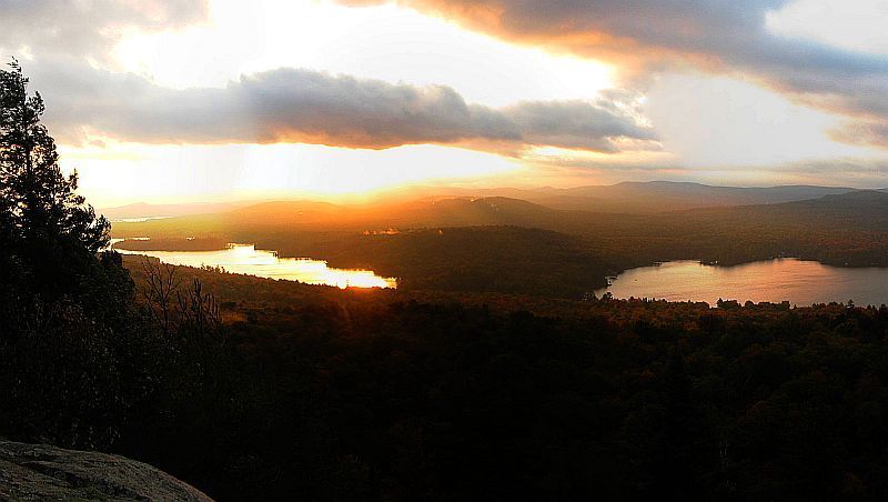
Sun Rises
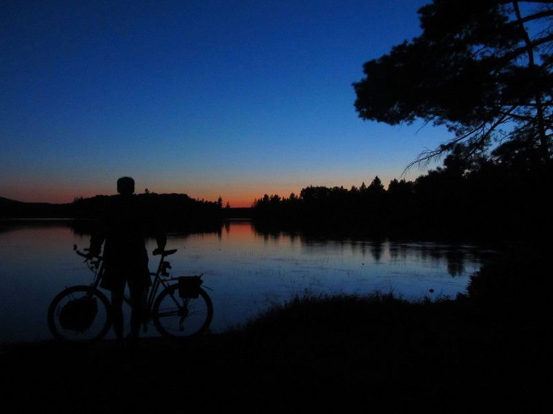
Sun Set
How the Adirondacks remains off the radar mountain bike tourers is hard for me to fathom. The biggest obstacle is researching possible routes, but there are plenty of resources for that. As far as logistics, small towns everywhere, overnight parking lots are common at terrestrial and water trail heads. The area is glaciated so the rocks are rounded. The ground is a little sandy but generally firm. Water is not an issue. The trails are well marked with blazes and intersection mileage posts. There is an excellent forum dedicated to the area www.adkforum.com (a bit weak on the bike topic though!). And finally, I have never been anywhere where there are outhouses distributed everywhere, if you find a lean to, there is an outhouse nearby.
I’ll be back again!
JHL99
September 2012
I bought a Salsa Fargo last fall with the intentions of going full into bikepacking for it combines some of my favorite activities.
I have spent the better part of 6 months acquiring gear and upgrading the Fargo. My first trip was on the Great Divide trail from Breckenridge to Hartsel, CO in August. I made a lot of rookie mistakes and ended up riding over two passes and 91 miles in two days! Needless to say, I learned a lot. My gear choice worked, but I needed to read the map better and bring Gatorade to help stay hydrated.
The second trip was on section 3 of the Colorado Trail in September and was a sublime experience. It was smooth, rolling single track and the Fargo performed flawlessly. It was a moonless night and very few people were camping so it was quiet as well.
Gear:
- Headlight
- Quilt- Golite 3 season down quilt
- Down jacket
- Hammock-Hennessy
- Water filter
- Rain jacket and pants
- Bike tools, pump, inner tube
- Wool long sleeve shirt
- Wool arms and legs sleeves
- Thermarest (Replaced with Oware foam pad for hammock tent)
- Toothbrush, paste
- Map
- Sunscreen
- Pillow (inflatable Big Agnes)
- Water bottle-1
- Hydration pack 100 liters with Gatorade powder
- Hat
- Croc sandles
- PMP player-headphones
- Camera
- Knife
- Ibuprofen
- Wallet, cash
- Food: Rice, beans, veggies, cliff bars, suckers, trail mix, etc
- T.P. and wipes
- Bandana
- Revelate Designs seat, handlebar packs with Tangle and Gas tank packs
Weight with gear: 47 lbs (food not included)
Salsa Fargo upgrades:
1. Hope Bottom Bracket
2. Ti Cycles Seatpost
3. DT Swiss 350 hubs
4. Serfas Krests tires (puncture resistance)
I am planning on doing the Great Divide next Summer in July as a tour with two friends. I will be adding a front pannier to carry more clothes and food. Thanks to this site for all the gear choices and reviews.
Bryan
September 30th, 2012 in
Personal setups |
7 Comments
My Suunto Core is one of the most versatile pieces of gear I own. This watch does so much and is completly accuate. The device has 3 main functions date/time, altimiter/barometric pressue and a very stable compass. Date and time function is pretty standard stuff 12/24 hour sub display of day of the week and date. Subdisplay of seconds and another subdisplay showing sunrise/sunset for your timezone. It has 2 or 3 other time functions which I never use much. The most useful for me is the sunrise/set subfunction lets me know how much time I have to ride before it gets dark, can i make it to the camp spot at current pace. Altimeter/Barometer is also a function I use frequently. Now you can set this fuction for full auto which means it will toggle back and forth depending on altitude changes or barometer readings if the weather is changing in a hurry. Addtionally it has a storm alarm function which has saved my tail on more then one occasion. The watch will begin beeping if the barometric pressure begins dropping suddenly. I ride the C/O canal trail alot and you can’t always get a good view of the sky. Storms come up quickly during the summer months. The watch also displays a graph of barometric pressure or altitude change, depends on your selection. A great function for remote weather checking. If it’s trending down then it’s most likely going to rain. The alto/baro function has several sub functions as well. Current temp, above sea level reference and a log function. Want to track how much you asended or desended today well turn the log on and check it later at camp. The final function is that of a compass. Calabrate it and its dead accurate. Much better then the Timex I used for years. You can set the compass to track your course within parameters to keep you on track. It will beep if you go off course by 2 degrees. Good stuff when you need it. The watch actually has more functions but these are the main ones I use. Now Suunto has not always had the best reputation. Seems that they have suffered from quality control problems over the years. Mine has been flawless, absolutly reliable. I get about a year out of the battery if I don’t have a reason to use the backlight to much. I always follow Suunto directions for changing the battery not doing this seems to be the root of many issues. I can’t say enough about this thing it’s great and has been absolutely reliable. Its the one tool I rely on when I am out in the boonies on the bike. This and a GPS is all you need, well a topo map helps to. At $299 its not a cheap piece of gear but with proper care can give you years of service. I have had mine for over 3 years now.
Day 1
Man, life’s been crappy, too much work and the fallout of a failing relationship had me looking for a way out of here. I finally managed to schedule a Fri and Mon off and took off from the back door for places unknown, really, I had no plan and no one knew where I was going. I figured a nice long trip would be good for the soul. A leisurely pace was set upon as I had no reason to hurry.
I had packed the bike the following week for a warm dry route. Friday morn arrived and the forecast was for thundershowers and rain in the Sierras, crap, out came all the wet weather gear and my bike magically gained 5 pounds.
My plan was to ride a bit of the California Sierra Trail Race route I’ve been working on for the past year. I’d already been out the first 150 miles of the route a few times this year so I decided to head out a different way and hook up with the course at about the halfway point and follow it back home from there.
I figured I’d head for Tahoe via Foresthill Rd and Soda Springs, then on to Truckee and eventually Lake Tahoe. If I got dumped on I could always bail to my cousins house in Tahoe Vista. Sure enough, after heading out Foresthill Road, up to Robinson Flat, out through the Cedars and up to Soda Springs and cresting Donner Pass I got hammered. All the way across Truckee, Martis Valley and up 267 to Brockway Summit I got caught in the worst T-Storm I’ve ever ridden through, that includes some pretty nasty stuff on the Western Slope of Colorado.
I crested Brockway summit and the sun was shining, literally in the space of a 1/2 mile the weather changed 360 degrees. I figured I’d head to my cousins anyways, it would give me a chance to pull everything out and get my gear and myself dry for the next 3 days. All in all a pretty stellar day even with the drastic weather changes, 100 degrees to full on hail, all in the span of 8 hours.
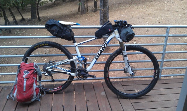
Let the fun begin!
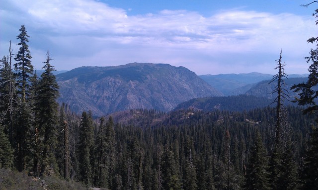
Royal Gorge and the mighty North Fork of the American River
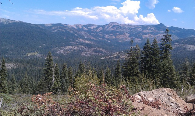
Looking out onto the West slope of the Sierras
Day 2
After a lovely but late evening with my cousin and her husband Sat morn arrived all too early and with a few showers. I was dressed and off by 7am for the long day over to Luther Pass or Scotts Lake, whichever I could make before dark. After yesterdays rain out, I wasn’t going to do that again, my ass was pretty chafed from wet chamois for the better part of two hours.
The trails were simply awesome from the previous days rain, maybe the best I’ve seen the Spooner and Kingsbury sections of the Tahoe Rim Trail. Simply an outstanding day, perhaps a top ten day on the bike.
The route started from Tahoe Vista and out Hwy 89 to Hwy431. The climb up to Tahoe Meadows and the Tahoe Rim Trail at 9,400′ is a nice little 2000′ climb, just the way to start the morning off right. From there it was all Rim Trail all day. Some of the most spectacular trail in the world unfolded in front of me for the next 8 hours. The skies were threatening all day but not a drop of rain fell on me, although I could tell others around the lake were not so lucky. Absolutely brilliant day on the bike!
<iframe height=’405′ width=’590′ frameborder=’0′ allowtransparency=’true’ scrolling=’no’ src=’http://app.strava.com/runs/22848180/embed/2a2b82105c51c23d7fd6861aa987c6dff908140a’></iframe>
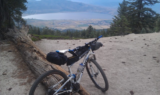
Overlooking Lake Washoe in Nevada from the TRT
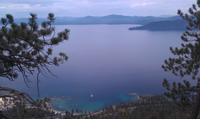
Lake Tahoe
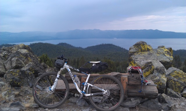
Looking out to the West shore of Lake Tahoe from the bench between Spooner and Kingsbury summits.

Rim trail excellence!
Washoe Valley and Carson City Nevada

Hope Valley in the distance
More Rim Trail goodness
Day 3
After spending the night just off of Luther Pass I was off to ride the Scotts Lake Connector so I could go down Scotts Lake trail to Big Meadow Trail and then down Christmas Valley to start the day off, pretty stellar way to wake up!
After a spending spree at Lira’s market in Meyers I was off to climb to the top of Echo Summit and the Pony Express Trail. The Pony Express trail had seen a bit of rain as well and was in great shape, certainly not many folks riding this gem.
After a lunch break in Strawberry I was off to conquer the dreaded paved Wrights Lake Road to make my way up to the Barrett Lake OHV trail. This is a tough little climb, especially on tired legs. I finally made it to Barrett Lake OHV and rode/walked this trail for 4 miles till I reached the Two Peaks Trail.
I have been looking for this trail for a couple of years and finally found the top of it a couple of months ago( hours of bushwacking to find it!) This trail is essentially a stock trail, they use it to run cattle from lower elevations up into the high country. They had already moved the stock up so the trail was totally beat in, real easy to follow and apart from being a bit loose a really fun but tough trail. I averaged 3 MPH over 10 miles on Barrett/Two Peaks
From the end of Two Peaks I slogged/pushed up to the Tells Creek Equestrian Camp and then it was a road ride from there to the Rubicon River on Eleven Pines Road off of Wentworth Springs Rd. I set up camp below the bridge on the mighty Rubicon River. A pretty easy day by bike, a bit tough on the feet with the hike a bike but overall a really nice day. I was super stoked to finally find the Two Peaks Trail, I needed this little piece to make the trail race work.
<iframe height=’405′ width=’590′ frameborder=’0′ allowtransparency=’true’ scrolling=’no’ src=’http://app.strava.com/runs/22848164/embed/10de778d167ebaa1da58698b6320909d4a5f2b52′></iframe>
Rim Trail through Big Meadow
Pony Express Trail, yes the original one to Utah!
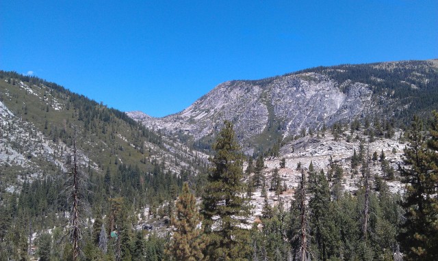
Looking east from Pony Express
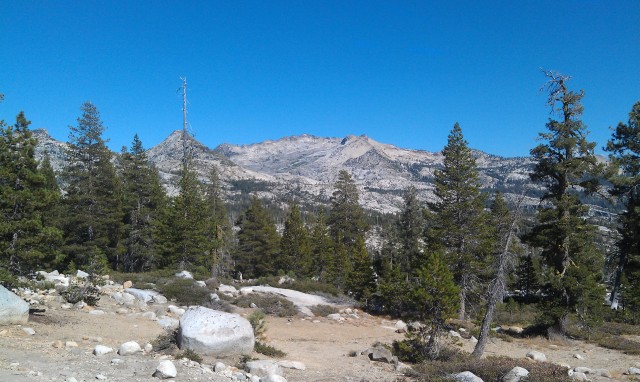
Looking into the Desolation Wilderness

Barrett Lake Jeep trail…. tough riding here!
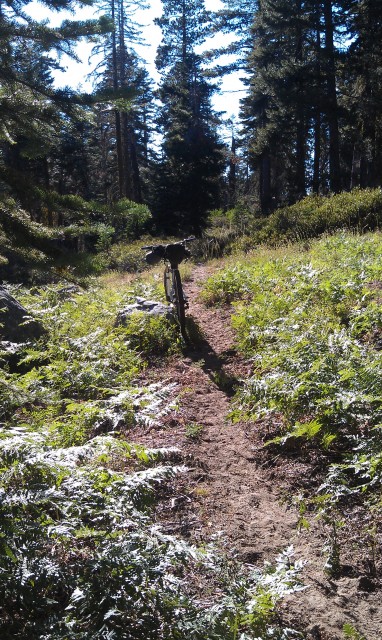
The rippin’ fun Two Peaks Trail
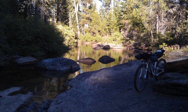
Bassi Creek on Two Peaks Trail
Day 4
I was awakened by logging trucks going over the bridge spanning the Rubicon River at 4am, WTF, I guess these guys get paid by the load and they are going to get a full days runs in!.
I was off at 6:30 for the long road climb up to French Meadows Lake and then on to the Western States trail for the remainder of the day. My water filter had broken the prior evening so I was in a pickle. I had enough water to make it to the spring just before Hell Hole Rd but I was reluctant to drop the Western States without a filter, I had Iodine tabs with me but really didn’t want to jack my stomach up for the next week. As I made my way up to French Meadows I decided that as long as the pump at Deadwood was working I would be fine, or dead if it was broken
As I dropped down the WS towards the swinging bridge the temp was really beginning to rise, I was starting to think I was a dumbass for thinking this was a good idea. For those of you lucky enough to have done this section from Last Chance to Devils Thumb( or Middle Finger as I like to call it) you know what the deal is…. 1.2 miles and 1,800′ of hike a bike
I made it to the spring at Deadwood in a respectable 58 minutes. Man it was really hot in the exposed sections though, I knew it would be even hotter on the way to Michigan Bluff.
I ate pretty much the remainder of my food at the pump (which was working thank God) and headed off for Michigan Bluff. The WS flowed out as usual, excellent. No one was out on a hot Monday so I had the place to myself (also had to be careful since no one would find the body either!).
At the bridge over El Dorado Creek I dunked my head in the creek and hit the trail. I rode most of this section to my surprise, I was at about 300 miles so far and had figured this would be pretty ugly, 56 minutes later I was sitting in Michigan Bluff . Crap was it hot. I had slurped the last gulp out of my Camelbak coming into town so I blew off the idea of dropping down to Volcano Creek and instead hit the pavement for the slog up to Foresthill Rd.
I beat it down Foresthill Rd to Wortons Market and bought the biggest cheeseburger and fries they would sell me. Man was I a stinky mess though, I hit myself up with some AXE body spray before I fouled up the store. The smell of 3 days of B.O. and Axe body spray must have been a sensory overload, although it is Foresthill so……
All in all a great few days, a good time to ponder the road we could have traveled and the road we traveled down. Thanks for reading
<iframe height=’405′ width=’590′ frameborder=’0′ allowtransparency=’true’ scrolling=’no’ src=’http://app.strava.com/runs/22848135/embed/693dc695d6fd18d0ece57667e316acdbe046de8d’></iframe>
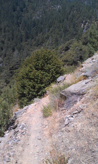
Don’t fall left… Western States Trail
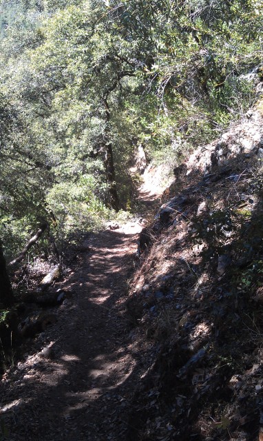
Western States Trail
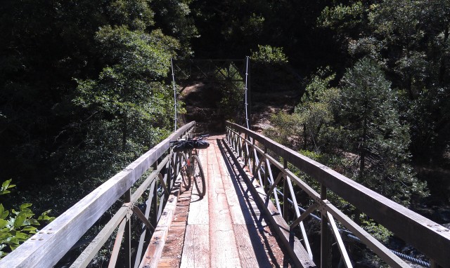
Swinging Bridge on the North Fork of the Middle Fork of the American River, say that 3 times fast…..
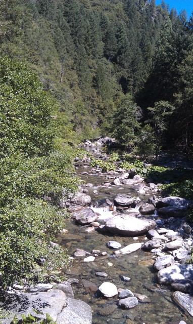
The aforementioned river

Western States goodness
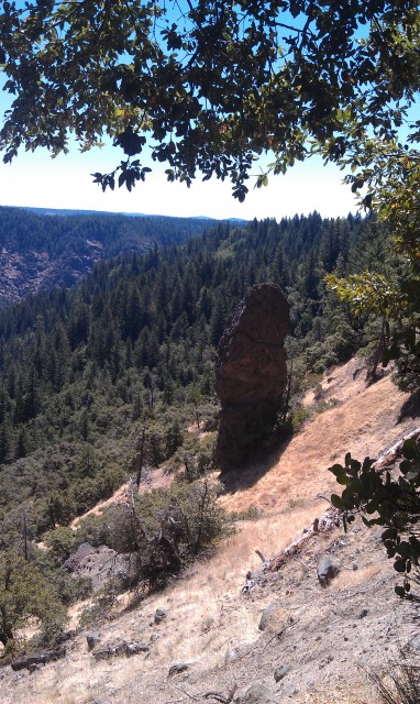
The Devils Thumb
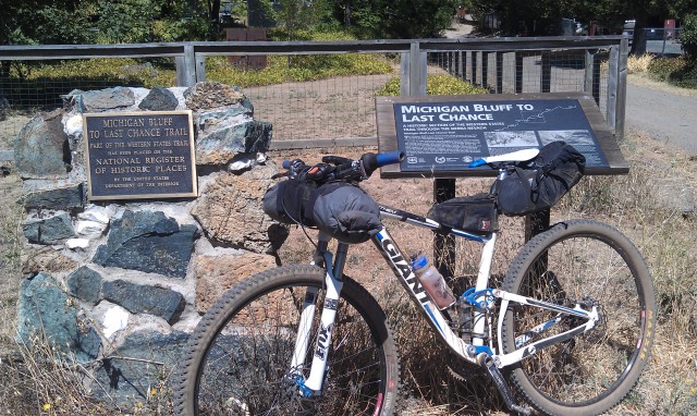
The historic gold rush town of Michigan Bluff
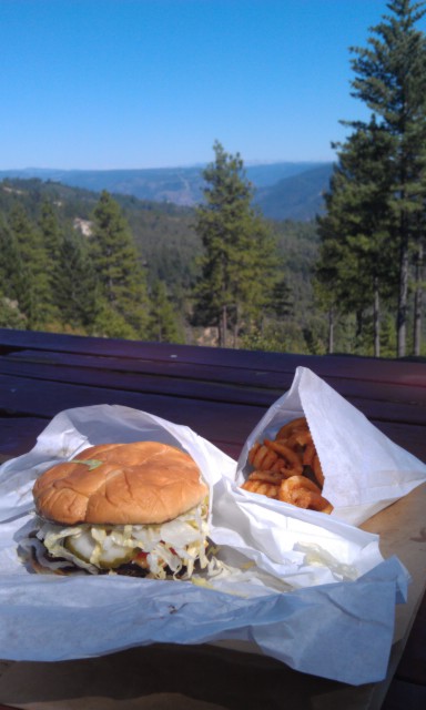
4 miles from home and I couldn’t make it without this….
On a recent multiday trip this little charger really helped me out. Bought this at REI for a week long tour this summer. It charges quickly and can recharge an iPhone in about 2 hours. It recently got me out of the woods at dusk as it was able to recharge my NightRider 150 in about an hour. I normally bungee it down to the rear pack while riding and by the time I make camp it charged and ready to go. The unit has 2 cells and slides open to reveal both. Closed its just slightly larger then a pack of smokes. It has a hole in the center so you can slip a stick or something in it to provide a perfect angle to the sun. It features 1 USB and 1 Mini Usd charging port. I wont say it waterproof but mine has been rained on several times and has held up real well. In addtion it featues 2 charging modes one for the day to day stuff and one for Apple products. God if I had only bought their stock when it was at $30. Oh well. Charges a Nano in like 30 minutes. Nice compact does whats its suppose to device. It’s $65 at REI and has decent reviews on their site.Solio Bolt Solar Charger
September 24th, 2012 in
Gear reviews |
6 Comments
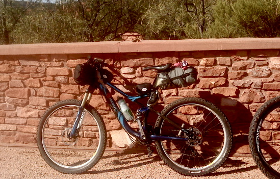
Coconino 250 (…give or take a few miles)
[BELOW IS TAKEN FROM THE ORIGINAL WRITE-UP…]
.
Wow!!
I’m still in withdrawals from riding and simply being outside, so for now, I’ll sum it up in a few words and post some pics…and then head back outside to play.
Coconino 250 Bikepacking Race — 250 miles of bikepacking. Self-supported. Over 33000Ft of elevation change, to include 3 pretty significant mountain ‘ranges’.wow
fun
hard
smashingly hard
too long
too short
gorgeous days
frigid nights
violent shivering
hot fire
sweet singletrack
sweet singletrack at night
grinding fireroads
mountains
more mountains
killer climbs
ecstatic climbs
fun descents
scary descents
clear river
bleach water
via coffee packs galore
burnt bike shorts
loyal bicicleta
breakfast burritos, 2 days old
cows
elk
deer
skunk
more elk
bear scat
tarantulas
new friends
better friends
sunset full moonrise for 1000+ drop off schnebly straight home
although, after all that, home seems to be back ‘out there’, not ‘in here’.
OTHER COCO250 PICS CAN BE FOUND AT — http://redrockworld.blogspot.com/2011/10/coconino-250.html
.
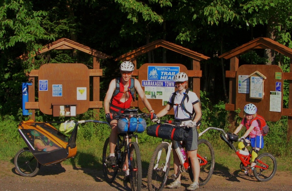
We finally got out to try bikepacking with our daughters, aged 1.5 and 4.5. We did a quick overnight in an area we are familiar with from day rides. We rode out from the parking lot in the late afternoon, rode for about an 1 hour and set up the tent near a lake. Unfortunately it was to marshy around the edges to swim.
I cooked dinner while my wife and girls played in the tent to avoid the abundant mosquitoes. then they came out fully suited up to eat their supper.
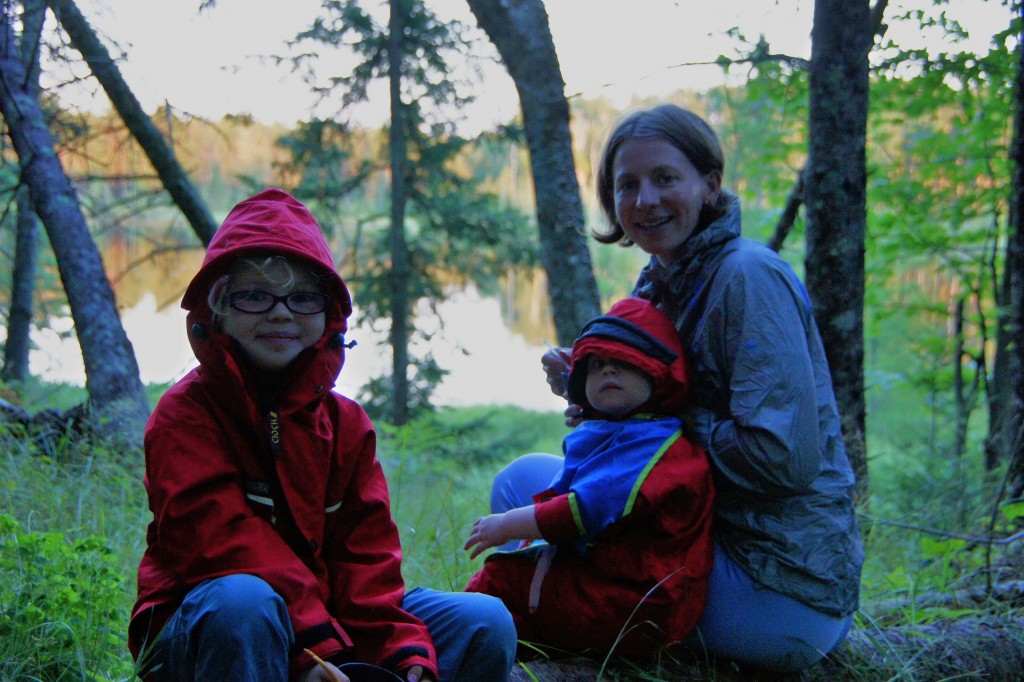
In the morning we continued the rest of the loop, with a stop to pick raspberries, back to the car where we had lunch.
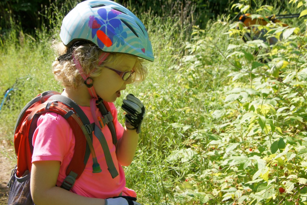
We used a Tout Terrain tag-a-lomg for my 4 year old and a Tout Terrain singletrailer for my toddler. These allow us to ride actuall mtb trails with the kids, not just atv trails.
In the trailer we had an Ursack with dinners, breakfast, cups, spoons as well as a Jetboil Sol Ti and a small drybag with clothes. Otherwise we had the tent inner in my backpack, the outer in my wife’s and a handlebar bag with clothes/sleeping gear each. We used 2 full length Neoairs and one short one and a size S Thermarest UL. Since it was forecast to be warm we used light fleece blankets. We didn’t need quite all the capacity of the small toptube/handle bar bags, so could have left some of those behind.
The kids had a blast, as expected, since they love biking and camping. The trail we picked was just right for us, not a lot of climbing, but lots of fun slalom and whoop-dee-do’s that we and the girls enjoy.
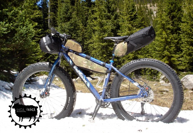
Oveja Negra threadworks offers a full line of quality bikepacking and lightweight touring gear manufactured in the central mountains of Colorado. Professional seaming, high-quality materials, and quick turnaround times on custom bags and stock accessories are a few standards the black sheep have to offer.
- Custom frame bags
- Stock bikepacking gear (seat, handlebar, toptube, & frame bags)
- Quick turnaround times
- Custom colors and fabrics
- Made in the U.S.A.
On the Web: www.ovejanegrathreadworks.com
Contact: info@ovejanegrathreadworks.com
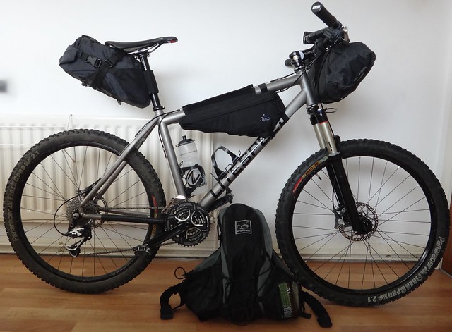
Here’s a list of the kit I had packed for a trip the other day. I haven’t gone to the bother of weighing everything individually, it weighs what it weighs if it’s something I need. I’m more bothered about how much space things take up. Saying that I do try to buy light kit in the first place.
Attached to the bike:
Exposure Maxx Daddy front light (I could manage without this if I buy a bar mount for my Joystick maybe? *)
Garmin Edge 605 GPS
850ml and 650ml water bottles
Large Double Twist SL bar bag by Bikepack.eu
Medium Repack SL saddle bag by Bikepack.eu (with a Giant Numen Touch light fitted)
Jannd Frame-pac
* – As I don’t really plan on riding through the night while bikepacking. The Maxx Daddy would be a lot better in a night time emergency though. Maybe I should carry it?
Bar bag (2059g):
Terra Nova Photon Elite tent
PHD Minim Ultra down sleeping bag
Thermarest Neoair full-length mat
Saddle bag (1602g):
Plastic bag with extra clothes (sleeping clothes, spare pair of bibs and socks)
Gore Fusion AS jacket
Evernew DX stand, burner, 500ml pot, 400ml mug and fire steel, all inside a MYOG pot cosy
Square of foil backed bubblewrap, to sit on and pack the bag out better too.
Frame bag (1258g):
Long spoon
Small Swiss Army knife
Cable ties
Flavoured Couscous, emptied into ‘Pour-n-store’ bags x2
Instant porridge, ” ”
Tuna with a twist pouches x2
Heinz squeeze and stir soups x2
Bag of brazil nuts
Nature Valley muesli bars x 3 (I’d be better off with these on my back and putting my toolkit in there).
Backpack (Wingnut Hyper 3.0):
3L Source bladder
Waterproof camera in a pouch on strap
Gel flask with meths in on the other strap
Toolkit (for almost all eventualities) and tube
Pump
First aid kit
Small bag with toiletries/first aid bits and pieces
Camping toilet roll
AA charger for GPS
Petzl E-lite
Phone Packs of oatcakes (6 in a pack) x2
Sliced maltloaf
More muesli bars
It sounds like a lot of stuff on my back but half of the main compartment is empty…perfect for carrying extra riding clothing if needed. Most of the stuff in it is what I would carry on a normal ride anyway. The mesh pockets on the side allow you to grab snacks while still riding too.
I’m quite happy with everything, the only things I’m planning on changing are the seat bag for a custom frame bag. That’s so I can drop/get behind my saddle on technical descents. I should be able to fit my tent in there too. At the moment the width of my bar bag is determined by the tents packed size (without halving the mini carbon poles). With it out of the bar bag, I’ll be able to put my spare clothes in there with my sleep setup. It will then be packed up a little smaller, giving me more space around my brake levers and less weight up front too.
I’ll need to do something about losing the bottle mounts, probably opting for a collapsible water bottle and filter instead.
I built this Scott scale in January as my every day race bike, with the Divide in mind. Racing it all spring with 2 inches of extra steerer tube, always answering the ” why don’t you cut that remarks”. First 29er, I’m embarrassed by how much I like it. Xtr triple, 11- 27 road cassette, enve wheels, ends up at 20 lb even for the bike as a starting point. I asked Scott the superstar at the Porcelain rocket to push his limits a bit weight wise. Handlebar wrap and seat bag are cuben fiber based. I’m a bottle guy, so that’s the basis of the frame bags. Areobars are mounted on a 4″ piece of aluminum tubing mounted to a 40 degree, 50mm stem. A machinist friend made me a recessed, centered gps mount. I fashioned articulating led flashlight mounts from generic tail light mounts. Lots of borrowing ideas, adding a few of my own. I think this would be the love child if Erik Lobeck’s bike and Matthew Lee’s bike hooked up. Built for comfortable speed.
Memorial Day 2012 was forecast to be hot. Why not collect a little info on swimming holes and link them together in a little tour? I did a few internet searches and collect some previous notes and came up with a route. What was most intriging was that I did not have exact locations on the swimming holes… more like references like ‘a couple of miles above such and such a town there is a deep hole and a rope swing in such and such creek… this was going to be treasure hunt. I didn’t find them all that I had info on, but I found most of them, and a couple that wheren’t referenced.
Of course, the first one was kind of a dud, the water was too low:

Split Rock
The bonus with the first swimming hole was that I had to ask a guy at a hunting camp where it was. He gave me good intructions and also asked me if I had ever been to Stone Camp. No, I have never been to Stone Camp. Him, somewhat incredulous “You never been to Stone, Camp? You have to go.” So he gave me some more instructions… So I follow the trails that lead to Stone Camp. Upon arriving, there are vehicles and activity, basically one guy was shoveling coal and the rest where shooting the breeze. Not knowing what to expect, I ask for permission to ride through, the guys at the camp say no problem… I stopped and started to make small talk. After about 5 minutes, the offer of a beer is extended, which I politely refuse (it was only 10:30 AM). I spent the a good part of an hour talking to the guys at the camp, had a tour and learned the history of the camp, it was founded in 1924 (carved into the rock). Under the rock was eventually closed in and then the protruding addition was added.
- Stone Camp – The chimney out does many formally trained architects!
Next stop was Benezette. This swimming hole was found by chance.

Benezette Party
Found this one outside of Emporium, the pool behind the dam is silted in, but the tailwaters are 6+ feet deep.
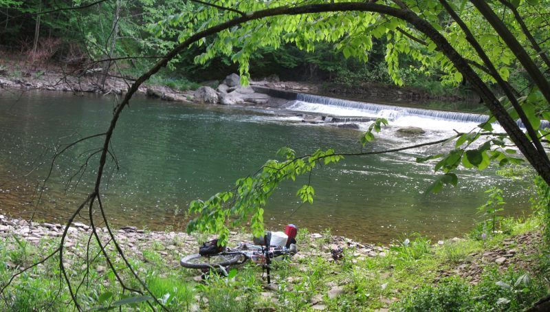
- Near Elk County Fairgrounds
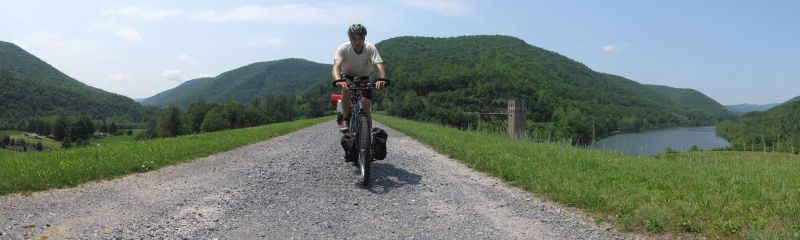
- Dam
-

- Mountain Laurel

- Fern City
We won’t count the beaver pond as potential swimming hole.
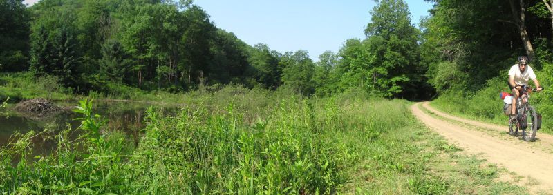
- Beaver pond and lodge
A rope swing:
-

- Rope Swing
The pool at the lower campground at Kettle Creek State Park might show promise, but I didn’t check the depth.
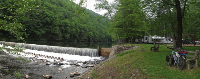
- State Park
Now we are geting somewhere:
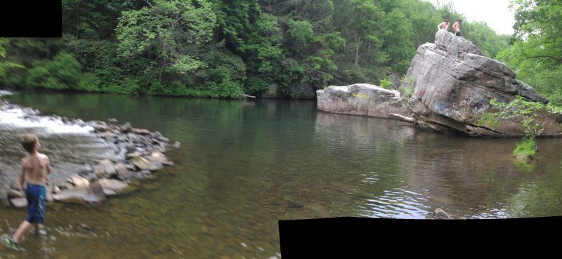
- Rock Jump Hole
The bold jump:
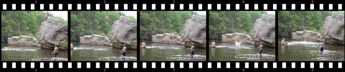
- Jump
A late afternoon T-storm force a quick pitch of the tarp tent… the storm turned into a steady rain, so this spot was camp for night 2, deep in the Rhododendron, but total concealed only 50 feet off a paved road!

- Wet Camp
Overnight storms clear out and the morning holds promise for no rain:

- Morning
I couldn’t locate the nearby swimming hole, so I asked one of Hell’s Angels for directions:

- Morning
One of the little girls told me where the dam I was looking for, but told me to ask her mom for good measure. The mother told me how they were swimming in the hole the day before and that the dam was for the long since gone gun powder industry.

- Dam and Hole
The last potential swimming hole was on a inviting stream named Mosquito Creek. This creek is fed by bogs, so the water has a tanin, tainted color to it:
-

- Dam and Hole
So there it is. These route was in the north Central PA state forests, Moshanon, Elk, Sproul.
JHL99
June 2012
The Freeload rack has only been around for a couple of years but is “World famous in New Zealand”, its country of origin. It fits on the majority of bikes because of its clever ratcheting attachment system and sliding mounts. It may look finicky but it is seriously bomb-proof.
I have used it successfully on a front suspension fork, but most of its use has been on the back of my Santa Cruz Superlight fully. It weighs 810 grams and comes in one size fits all for 26ers and 29ers but there are choices for two different “decks” on it.
One deck is specifically for using with side panniers, although it can also be used without them.
I don’t have any affiliation with the guys at Freeload although they sent me some rack frames to experiment with when I suggested that I could “chop” my rack-frame down for even more clearance for big hits on the back. They are really friendly like that. Top Kiwi Endurance rider Oliver Whalley also did some experimentation with his ones.
I have yet to see one broken, after two 1200 km Kiwi Brevets where probably half the field were using them.
Some links
This is going to be my setup for the 2012 TNGA (i think ). Total weight for bike , gear, food and water is 40 lbs 3 oz.
bar bag has about 4000 calories which is made up of nuts, dried fruit, large gatorade gels, and small tortillias with nutella rolled up.
seat bag has hammock, amk medical bivy, head bug net rain gear and a thin wool layer
frame bag has a 3 litre bladder pump, 2 co2’s multi tool, spare cleat, and a sawyer water filter
gas tank has stella 200 battery 4 AA batteries, 3 AAA batteries, bug spray and chamois cream
strapped to seat post is 2 spare tubes
gps is a dakota 20 ( 2 AA batteries)
helmet light is a coast hl7 head lamp ( 3 AAA batteries)
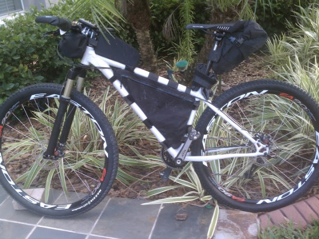
My love of bikepacking began a couple years ago with a simple overnight ride right out my back door. No fancy gear, just a bike packed with stuff to spend the night out. I was hooked. Then came the Coconino Loop (superb), the Colorado Trail (stunning), and lots of new and beautiful places both on my own and with good friends. Why do I love it? Look at what you get to see…
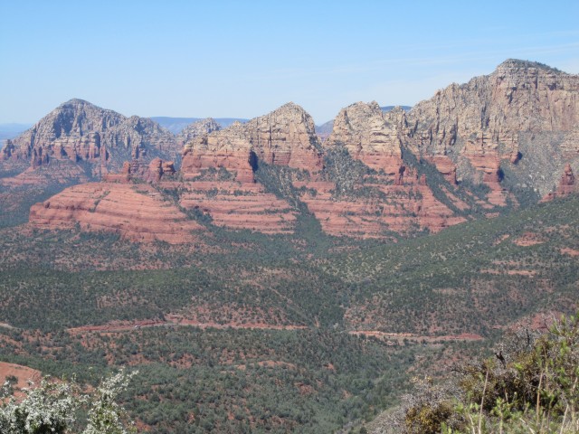
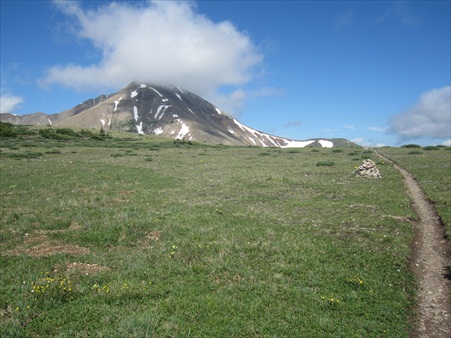
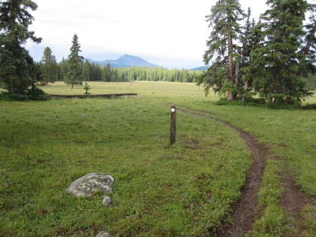
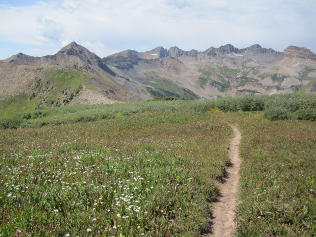
This past week my friend Philip and I explored a new area just a few hours from home. We started on the Uncompahgre Plateau and did a nice little circle back to the truck. 224 miles with loaded bikes and a few more miles of plateau exploration when our tour was done. Our route…
Divide Rd to Tabaguache trail via Columbine Pass.


Tabaguache trail to Gateway via the Niche Road.
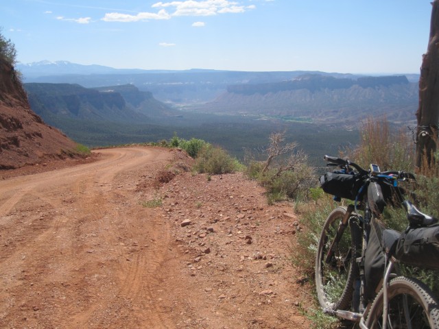
Climb up John Brown Canyon to intersection with the Paradox trail. Paradox trail towards the La Sals.
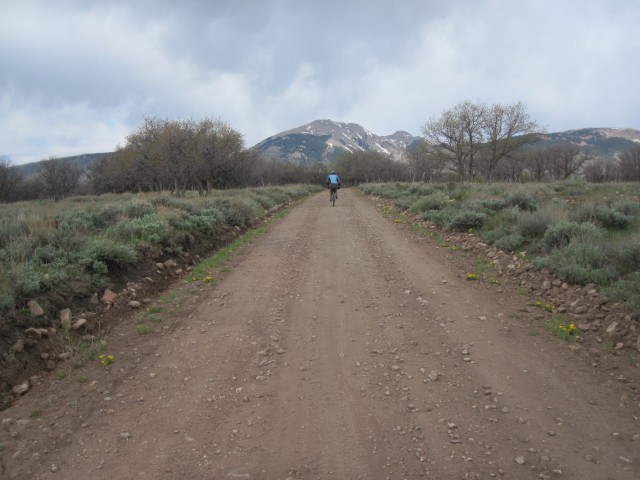

Red Canyon to the Dolores River and Koski Traverse to Nucla.
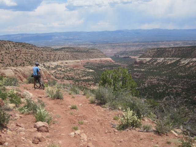


Nucla to the GlenCoe Bench. One of the most beautiful places I’ve ever been on a bike.
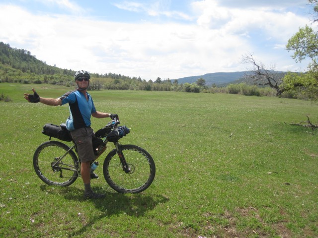
End of the Paradox and back to the truck.
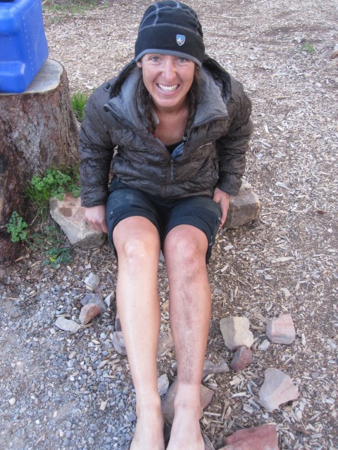
Singletrack scoping in the snow. Too much on the Roubideau. Definitely need to come back for more!
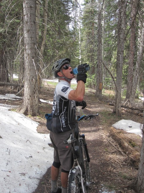
Trying to run drop-bars and road bike shifters on an MTB can be tricky because road bike front derailleurs are all bottom pull, ie, not compatible with most MTBs.
The CX70 Shimano front derailleur has a top-pull option and works a treat. It comes in many guises and is especially built for Cyclo cross applications.
It comes in 34.9 and 31.8 clamp bands, plus braze-on. The 31.8 comes with a slightly ugly shim to take it down to 28.6.
I used it on my small Karate Monkey with 22/34 chain rings (and Durace 9 speed shifters) and it works brilliantly, so I would expect it to work even better with more appropriate sized rings, by that I mean typical 2 x 10 touring setups or Cyclo-cross sized front chain ring combos.
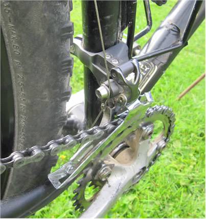
CX70 shimano cyclo cross double ring front deraillieur
Day 1 – Kiwi Brevet – Blenheim to Hanmer
 |
| 200km, 9am to 9pm |
 Day one of the Kiwi Brevet was a bit of a pressure cooker. It was run in the reverse direction to last time. We had a deadline to travel 118kms to get to the Molesworth station gates by 5pm, and we had no idea how long it was going to take. In the end we needn’t have worried as we got there with 2 hours to spare, but in the process we cooked poor Jonty with our 21kmh average uphill speed. It also caused unnecessary trauma to both Andy King and Matt Gerstenberger who were also in our little group.
On the way we observed the damage done to some pretty classy riders as they struggled with a combination of heat, pace, and I suspect skimping on the water. We caught up to Great Divide Rider Lance Griffen who was looking a bit worse for wear, and desperate for more liquid. It was easy to see that he was an ex single-speeder as he rode standing up a lot of the time, skidding his rear wheel with each power pulse.
 |
| Andy, Alex, Jonty, Mattsomewhere up the Awatere |
The cool tail wind was kind to us and it was a great feeling to stand atop some of the high points and be cooled down by the gentle cool air. The two singlespeed riders in the Brevet ( David Kleinjan – Gryphon Singular, and Stephen Butterworth – Lynskey Pro29 ) were impressive and the hilly nature of the course meant that to stay on top of their gear they really needed to ride a lot faster than we were. They did.
 |
| Lance, Jonty, Alex ona rare piece of seal |
As we reached the Molesworth station water point, we met a few other riders who were resting up from the earlier pace, and as we waited some more turned up. Geoff Blance, recovering from the Great Southern Brevet the week before had been riding with Thomas Lindup and gave us a bit of a report on what had been happening up front. Not long after, he left with Lance Griffen in tow, and they ended up doing the entire Brevet together. Darren Tatom had been suffering with cramps, and he turned up, as did Peter Maindonald, Scott Emmens and Nathan Mawkes. Most of these guys refueled and took off fairly smartly but we hung around to rest Jonty into better shape. By that time, Matt and Andy were back in the fold and it was game on again. Matt took off for an early start and it was to be a good while before we pulled him back.
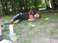 |
| Jonty catching zeds at Molesworth |
Some time later Alex and I were smacking away on the aero bars into the now persistent headwind as we headed for Jollies pass. Alex suggested that it was getting “challenging” so we pulled over for a Muesli bar or two. No sooner had we done this than Jonty turned up. The twinkle was back in his eye and the power back in his legs! Andy also turned up a few minutes later and we shared his big bottle of coke.
The Molesworth itself was devoid of most of the corrugations that messed with our heads and butts last time, but the head wind as we entered the last 30 or so kilometres was a bit tough on us.
 |
| David, Lance, Jonty, Alex, Stephenon a summit somewhere |
We got to the Acheron accommodation house where we finally caught Matt who had been resting for about 10 mins, and we regrouped and headed off for Jollies pass and Hanmer. The decent down Jollies was nothing to write home about, a bit rough, and Alex had a close call with a car we met driving up it.
200kms rolled over on my computer as we hit Hanmer around 9pm, and we stocked up on fast food for tea. Matt turned up not much later and scored some nice vegan Thai food. Hanmer’s accommodation was all gone so it was out with the bivvy sacks and into the camping ground. At least they had washing machines and driers which we put our dirty clothes in. It was quite warm that night so I didn’t even need my bivvy bag.
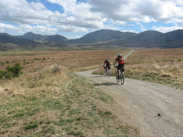 |
| Jonty and Alex |
 |
| Jonty |
Day 2 – Kiwi Brevet – Hanmer to Sheffield
 |
| Rolling out from Hanmer |
 |
| 190 kms, 8.30 to 9pm |
Day 2. Around 190 kms. We had a reasonable nights sleep, got our stuff together and headed off to the nearest cafe for breakfast. It was at this point that Jonty shared his memorable quote ” I tend to steer away from flat whites in the provinces”. After a leisurely brekkie, during which time, Alex’s dad Mike Revell turned up, he had made it through the Molesworth the previous day, but kipped on the roadside rather than come down into Hanmer that night. We hit the smooth tar-seal road for Culverden’s Grocery store about 40kms away, and got there about 10 mins before opening. This was to be a serious shopping expedition to see us through the Lee
Valley, the Wharfdale and maybe Sheffield.
We hit the road again and before long were surfing on some fresh new gravel. The damn grader looked like it had been through the previous
day. Bugger..
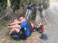 |
| Resting up before our wrong turn |
The next phase was getting into the massive farm of McDonald downs which was problematic. There can be a lot of variation over what the 4 bike computers were telling us, so we chose to ignore the kms on the cue sheets and go by the map. This caused a problem, as when we went down the appropriate road, a farmer emerged to tell us that the road was incorrectly named on the LINZ map, and had been for years ! I guess we only lost about 20 mins or so, and he kindly set up a sign to warn anyone behind us. Plenty of other people had already made the
same mistake before us.
 |
| Another pinch climb |
Two of our group had done the KB before, but in the other direction. When asked what the terrain was like I suggested that it was mostly flat, with a few “pinch-climbs” . This didn’t go down well as the climbs seemed to have a bit more pinch than some were hoping for. We were eventually glad to be off the gravel and trying to navigate our way across acres of farm land. Before long we came across a river which we needed to ford. Not a biggie as it was pretty shallow. We carried on until we found the entrance to the Wharfdale track which we hoped would give us some very cool single track to blast through. A few things worked against us. 1. Our bikes were heavy and unresponsive. 2. It was uphill with lots of dismounts. 3. It was a bit wet and most of us had semi-slick tires on the back. We hung out for the descent but we felt a bit cheated when we learned that it was all open four wheel drive, wet and foggy, and getting dark. To top it off a wasp stung me under the eye which caused me to freak a bit. I opted to ride as fast as I could incase my eye swelled up. Definitely a trail best suited to ride in the opposite direction.
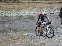 |
| Alex fords river |
We hit the road and shot past the accomodation we used last time which was the View Hill PonyClub/Tennis courts domain and headed for Sheffield, about an hour away. What a disappointment. A two shop town. One a pie shop and one a Pub. All closed by 10pm obviously. No tea for us other than what we were hauling. It was spitting very lightly so some form of cover would have been nice. Sleeping in the pub’s toilets didn’t appeal, but Andy and I found what was to be our best accommodation yet. A shelter-belt with masses of dry spaces below it with comfy pine-needle beds, and plenty of room for our bikes and us. We needn’t have even bothered blowing up our air mattresses. It was mint. Even the sound of the trains blasting through the night, seemingly metres from our heads couldn’t detract from this spot.
 |
| Matt settles down for the night in the Hedgerow Hilton |
 |
| Plenty of room in this locale |
 |
| The front entrance to Hedgerow Hilton |
 |
| Fueling up near the top of the Wharfdale |
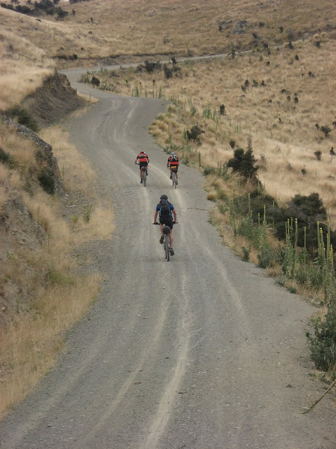 |
| Somewhere in the Lee Valley |
 |
| Jonty in the Wharfdale |
Day 3 – Kiwi Brevet – Sheffield to Blackball
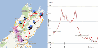 |
| 8am to 9pm, 210 kms |
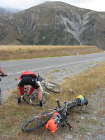 |
| Alex adds some air |
Day 3 (around 210 kms) from Sheffield to Blackball was hopefully going to be a bit easier, given that most of it was on sealed roads. We decamped from our pine needled paradise and headed out for Springfield in search of pies.The food at the Springfield Cafe is always good, and there weren’t so many of us that the staff were completely overwhelmed as we experienced on the last KB. Luckily we all remembered what we ordered and then shot next door for more provisions for the road. As we were about to leave Jonty asked if I would share my “Sour Snakes” with him. I meanly replied that he could only have one, so he decided to go and buy his own. We said we would carry on slowly and he could catch up. 5 mins later there was no sign of Jonty so we decided to carry on. The road was fast and at some point we started on the Porters Pass. This was a pretty steep climb for the tarseal and I think we took the time to stop a few times to air up my leaking rear tire and oil Andy’s chain. It was spitting lightly so the steep descent was a bit scary for us guys with glasses on who were experiencing about 10 metres visibility. After the rain cleared and we picked up our usual tail wind some time later we stopped for a snack at the top of a big climb.
 |
| Cleetus arrives |
Matt appeared over the horizon and hot on his tail was Jonty ! Up until that point we didn’t know if Jonty was in front or behind us. It turned out that I had bought the last
packed of Sour Snakes in the shop, and Jonty had turned the wrong way for a while and was headed to Christchurch! Luckily he ran into an old buddy of his who confirmed his error. Its a small world. It was nice travelling across the divide, but the descent down the Otira Gorge reminded me why I bonked when doing the KB from the other direction. It was bloody steep, especially on a rear tire that has been leaking a bit of air.
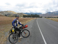 |
| Retro jacket moment |
Eventually we hit Arthurs Pass and indulged in some over priced pies, chips, chocolate milks and the usual confectionery. We were half expecting to catch up to Nathan Mawkes who we had been leap frogging pretty much from day 1. Nathan tended to ride a bit slower and take a few more rests. No sign of Nathan although we met Mark Watson whose partner Hanna was doing the event, and we also met Ollies girlfriend. We were approached by a lot of people who were interested in what we were doing which was cool.
Before long we were on the road again and heading for Jacksons.
 |
| Sons of Anarchy- Season 2 |
We managed to snag some junk food there and were pleased to hang a right and hit some less frequented roads. Apparently this move eluded Thomas Lindup some many hours earlier and he had ended up riding to Kumara and back ! The roads in this area were smooth and fast. Even the gravel was nice when we got to it. The best time of the day to be riding is the evening, but we enjoyed our relatively early finish at Blackball at around 9pm. It seemed like everyone was there. Dave Sharpe and the single speeders, Nathan, even Thomas in his bright yellow puffer jacket, looking like a demented Big Bird – apparently bivvying in a hedge somewhere since the room rates had gone up since our previous
stay.
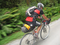 |
| Somewhere out the back of Moana |
Although the kitchen was closed at the Blackball Hilton the chef whipped us up some very nice sandwiches, and even managed to build one acceptable to our resident vegan who was doing way better with his eating than on the previous Brevet. A beer and raspberry and coke later and it was time to wash our spare shorts and prepare for the next day. Unbeknown to me poor Andy was up all night with a bad belly. Was it the chicken pie or a hard day ? We never knew, but Andy stayed on the next day until he started to feel a bit better.
Day 4 – Kiwi Brevet – Blackball to Murchison
 |
| 200kms, 7.30 to 11.50 pm |
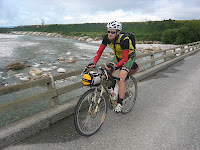 |
| The Otututu River |
Day 4. About 200kms. I’d finally eaten my way through the 6 cheese, salami and bean toastie pies I had made in Blenheim on friday night, so I would have to pay more attention to my diet. Matt and I decided we would head off a bit early from Blackball as there was no doubt Jonty and Alex would catch us, and poor Andy was still in his Hilton sick-bed. If we had known how long the day was going to be we would have risen even earlier. It was a beautiful morning on fast rolling west coast roads. We headed for Ikamatua and on route we rode past the Pike River turn off. At the Ikky store I got chatting to a local who knew my Nana and the infamous Aunty Murtle who passed away last year aged 105. I thought about hiding all the sour snakes in the shop to wind up Jonty but apparently he was into more healthier things when he made his purchases. I was more impressed with his diet than anyone else I came across the whole time. When we all caught up at the Brevet’s end Andy told us a story of how, when he was doing his shop at Ikky, he was sitting outside refueling and he watched a train slow down and stop opposite the shop. The driver jumped out, brought a chocolate milk at the shop and hopped back into the cab and was on his way.
 |
| Blackwater enroute to Waiuta |
We cruised up the lovely quiet country roads into the old Ghost town of Waiuta were my mother went to school. Theres not much left these days so after a quick look at the accommodation which was all locked up we hit the Waiuta trail proper. Before long Matt and I came across Thomas who had discovered that his latest puncture was proving difficult to fix since his tool bag had sprung a leak and his tire levers were awol. Matt kept going and I lent Thomas mine until he had at least beaded the rim. While he worked on his wheel a Bellbird tweeted vociferously less than a metre from our heads. I have never been so close to one in the wild.
 |
| Matt in the Waiuta |
It was easy to see that a heap of work had been done on the Waiuta track. There were no more of the treacherous creek crossings that we had experienced last time, but unfortunately the track was wet, and once again our semi slick tires were as good as useless with a full load on. We rode and walked for several hours until eventually Alex, Jonty and then Thomas caught us near Big River. We decided to have a bit of lunch and Thomas pulled out a flask full of whiskey! Big River was a lot more fun and from memory there was a bit of competitive descending going on which resulted in another flat for Thomas.
Before long we had exited the bush and hit the shops at Reefton for more pies, choc milks and supplies. Not sure why but we seemed to spend around 2 hours mucking about in Reefton.
 |
| Rare bush goblin |
The Rahu saddle was the next stretch, but it took a little while for Thomas to find his legs. Eventually his legs and sense of humour returned and from that point on the day just got sillier and sillier. Sparking up the cleats on the descents was the new cool thing, after Jonty demoed brushing his teeth while riding. After descending the big hill into Springs Junction there was a strange encounter between Jonty and a very wolf-ish looking cat, which he proceeded to stroke – with a piece of cardboard, so he didn’t get ring worm !
The next piece of road had us ending up on some tarseal where a new game started. The idea was to be the last person standing still wearing their sun glasses. We had already stopped to put on our lights so it was getting pretty silly. I can’t remember who won in the end, I wasnt playing.
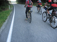 |
| Hoodlums on the road |
It was a shame because when we hit the Maruia Saddle it was pitch black, apart from a near full moon, and the silly games continued, with Thomas, whose legs had returned in full, attacking Jonty til the summit . I was riding sensibly with Alex who didn’t actually have a proper head light with him. The last 30 kms into Murchison seemed to take for ever, with more little pinch climbs than any of us remembered, but the road surface was the best kind of gravel there is, as someone else suggested, like fine talcum powder. We rode for quite a while with our headlights off, under the light of the moon. It was pretty damn cool.
 |
| Thomas |
We hit Murch at 11.50 and I went about finding the Camping Ground we booked from Reefton. I went around to the office. Rang the number and listened as the phone went off in the house and I heard the guy stumble out of bed ! The keys were in the doors and the lights on. Excellent.
We were very disappointed to find that we had to pay for a hot shower, but once again Thomas impressed with his ingenuity by putting hot water from the hand basin into his camelbak and inverting it for use as a camp shower. The last I saw of him that night he was walking around like a skinny sasquatch wearing a jersey upside down on his lower torso while his bike pants dried… hanging off his aero bars, over the heater in his cabin. Hmmmm. Luckily he had a cabin to himself.
Day 5 – Kiwi Brevet – Murchison to Pelorus
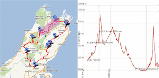 |
| 200kms, a big climbing day. 8am to 11pm. |
Day 5, around 200 kms, Murchison to Pelorus. We all managed to roll out at 8 oclock with a brief brekkie stop at the cafe at Murch. The lady behind the counter was one of the friendliest we had met. Its refreshing to meet nice people when your butt hurts, you are tired, are about to wolf down a greasy pie and they talk to you like they are genuinely interested in what you are doing. We headed up the Mangles Valley at a reasonable pace but some how dropped Thomas who was having a “I dont like mornings” moment. We had decided to give it a bit of stick on this day, and it was likely that it was going to break apart a bit when we hit the Porika track which was a seriously heinous push. In fact, looking at the altitude map, it appears we had around 2000 metres of vertical climbing on our plates for the day, a fair bit of it actually walking. I was amazed to see Alex ride about 60% of the Porika, even with a knackered knee and tight achilles tendons. Apparently Dave Sharpe cleaned it all but for one dab.
We caught Nathan Mawkes part way up the Porika, and Peter Maindonald on the decent. If there was an award for the most improved rider from the previous Kiwi Brevet it would go to Peter. The first one took him 9 days. This time he was on a 5.5 day schedule and he was armed with some serious kit. A carbon forked rigid 29er and all the accoutrement’s. I am so impressed at how these rigid 29ers descend, he wasnt giving away much to me, if anything on my 26 inch fully.

The piece of road from the road’s end to St Arnaud, although tarseal, seemed really hard. Aparrently it was false flat. It certainly messed with our heads, as we had been looking forward to it for ages, and imagining a fast downhill descent finishing with pies and chocolate milk! We fueled up at St Arnaud and rolled over Kerrs Hill, through Golden Downs and eventually got onto 88 Valley Road. We passed the two single speeders Stephen and David as they dealt with a recurring puncture. This stretch also seemed to take a long time. It was hot with a head wind, and a fair few climbs that seemed to have skipped my memory banks form doing it in the opposite direction in 2010. Plus my arse was in agony. At this point the Team Voodoo Lounge contingent had been whittled down to myself, Jonty and Alex, who never complained although he was obviously in pain.

The navigating of the cycle lanes after Wakefield was not a lot of fun, but better then mixing it with the 4.30 rush of traffic as people made their way in and out Richmond, one of the biggest growing towns in NZ. We were pleasantly surprised to meet Chris Burr on the trail and he advised us on where we could find a nice place for Pizza and Beer!!! YUM. But before we got there a car pulled over on the side of the road and some kids jumped out and offered us fresh Banana and Chocolate Muffins! It was awesome. We have no idea who they were or who they were supporting but it was surely appreciated.
We eventually rode into Nelson, after a warning from Chris about how cyclists were public enemy number one. He was later to be proven correct with as bigger displays of moronic behaviour as I have seen in any boganised area in New Zealand. The Pizza and Beer were awesome and we were also met by my Cuz, Paul McNabb who had been watching our approach online. I did a quick grocery shop while waiting for the Pizzas and we took off, probably less than an hour after we arrived. It was probably around 5 or 5.30 pm as we headed up the Maitai in search of our next destination, maybe Murderers Rock on Mangatapu, or Perlorus.

The new alternative trail to the Mangatapu track was well worth the deviation, as it was rideable, and dry! Unfortunately Alex got a sidewall cut that we had to sort out with a boot and some duct tape just before the caretakers house. I was happy to be using all the crap I had in my tool kit. Duct tape, valve stem tool, and a few other things all came in handy at different times. It was a coolish night so the climb was a lot easier than it would have been during the heat of the day. As we approached the summit it was well and truly dark and we had a quick stop to send a text to Matt to tell him where we thought we might be camping, and to put on some more clothes for the long descent down onto the Pelorus side. This was less fun than it might have been as we had to form a sandwich formation with Alex being the meat, as he had no lights. After the descent the next 13km gravel segment to Perlorus seem overly hilly at that time of the night and I think we were all pretty damn happy to stop there and bivvy up. Unfortunately we couldn’t find the official tent camping site, which was just as well as it turned out to be crap. I found a dry spot in the bush and we slept the sleep of the dead, and were only awakened briefly by the arrival of a late night addition to our camp. Nathan had caught up, with Thomas in tow. Thomas carried on, to who knows where, while Nathan settled in with us.
Day 6 – Kiwi Brevet – Pelorus to Blenheim
 |
| Around 120 kms I think. 7.30 to 1.10pm |
Jonty woke up and looked pretty damn groggy. He said he was missing the usual 8 hours sleep that he needs to function adequately. It was no surprise then when that when the Lone Ranger turned up to chastise us about our non-legal camping spot that the responses to his accusations were less than cheery. It turns out that there was a proper camping ground, we just didn’t find it. It also turned out the Matt did! Apparently he turned up some time after us, only a couple of hours I think, and by virtue of his superior tertiary education he found the correct place to camp. It was out on the grass and of course he got covered in dew which wasn’t so good. We only found all this out later.
 |
| Queen Charlotte Drive |
Nathan had already done a sneaky depart while we were waking up at around 6.20. Then Peter Maindonald rolled by, having bivvyed at the bottom of the Mangatapu descent. He mentioned that Matt, Nathan and Thomas had all passed him in the night! Wow. We had already lost 4 places while were were asleep ! (Not that its a race).
 |
| Alex climbs |
We hit the road at around 7.20 is my guess, the earliest departure we had the whole time. I was super motivated as I knew all the roads we were about to ride, with the exception of Port Underwood, which I had ridden on the previous Brevet, and really enjoyed. At Jonty’s suggestion we ordered short blacks at the Havelock cafe because they take the least time to make, and snacked on a few buns and supplies. Peter Maindonald was there having his daily eggs benedict. Peter took off a few seconds before us, and he didn’t seem to be mucking about. We caught him on a little climb a couple of minutes later and didn’t see him again.
I was feeling good, maybe the best I had the whole time. Even my butt felt better. The Queen Charlotte Drive was a blast and we got to Picton in short time, brought some more water and coke, gave Jonty some time-out for an expresso-ablution and hit the hills that make up Port Underwood. Man that first one just went on for ever. It was beautiful. It was sunny and hot with a cool damp sea breeze that was going in our direction.
 |
| A nice bay, not sure which one |
There were 3 or 4 hills, I cant remember. They went up, they went down, the way all hills do. The scenery was awesome. Unfortunately Alex’s knee was giving him a hard time and he lost contact on the 2nd to last hill I think. I was thinking that Nathan could have been close, but figured he wouldn’t be doing his usual stopping every 2 hours for a leisurely break on the last day. At one point Jonty hallucinated that he saw Nathan sitting in the shade on the side of the road up ahead. Maybe it was hotter than we thought?
I was starting to gap Jonty on the climbs, but I knew he would get back on again on the descents which he was doing way faster than I could. On the last hill I did get away a bit and put my head down, I knew that if I could get down on the Rarangi straight I could see if there was anyone for me to run down. Sure enough I saw a dark figure 500 metres up ahead so I reeled them in. It was Scott Emmens. He was pretty much blown, and we hadn’t seen him since our one hour rest stop at the Molesworth Station water point on day one. He said that Nathan had been through about 10 minutes earlier and so had Thomas ! I had no cue-sheets as I had given them to Matt days earlier when he lost his, but Scott had cue-sheets AND a GPS ! We cruised along until Jonty turned up and we all rode back together. This GPS lark is so easy it seems wrong!
 |
| Another pretty bay in Port Underwood |
Up ahead we saw another rider that Scott recognised as Thomas, so we formed a paceline and shot past him at 50kmh screaming like banshees, for a wind up. We slowed right down but he didn’t seem keen to join us. We didn’t realize he had yet another flattie and a shagged tire and had been riding on the rim for ages and continued to do so until he got too Blenheim.
We made our way into the finish at Seymour square and Nathan Mawkes and Geof Blanc were there to meet us, with my family turning up a few minutes later. Its always an anti-climax at the finish, so having someone there to meet you and shake your hand is always nice. I feel bad about not being there when Matt turned up but I figured he was going to have a hard time on the hills and unfortunately the dial-up at my parents place wasn’t doing a great job with the trackers. Matt did awesomely. With less fitness than last time he managed his exercise induced nausea really well and was rarely more than a few minutes behind when we stopped at the top of any particular hill.
 |
| Bandolero Bill |
It was another great event by Simon, although I have to say I think the original direction is the best. Once again we were incredibly lucky with the weather. We had some awesome bivvy spots, almost always had a tail wind, unless we were going downhill when we had a headwind on a few occasions. We had great company and all of us finished. Most of our butts were in worse shape than when we started, but its hard to get everything right eh?
 |
| Voodoo Lounge Proprietors. Thanks heaps! |
The Wrap !
===============================================
 |
| Team Voodoo Lounge, some of thesepeople are real, some of them are not |
Accommodation
Strange things happen in the Voodoo Lounge. Its a comforting place, but beware when your guard is down, the fridge is full of beer, there’s a roast in the oven and the massage chair is waiting to caress you. One of us began speaking “in tongues” during the nights after our Brevet was over. A kind of falsetto voice with an English accent. Who was this “persona”, and what was it trying to tell us? Could it have been someone from the Maungatapu murders trying to speak to us? Jonty spoke of his fear of white mans tapu when we slept at the murder site two years ago on the previous Brevet. Was it someone trying to contact us, because we just bowled through in a rush this time, without paying our respects? In the previous Brevet many of us were completely bushed, and Murderers Rock was the only flat place to bed down between Pelorus and Nelson. We spent a lovely night under the stars. This time, coming from the opposite direction, it was cold, and a little foggy so we didn’t stop. Maybe this nightly communication was in some way related . Check out the harrowing account of the
murders and the grisly execution that followed.
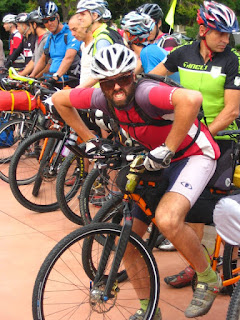 |
| Thomas understands the importanceof getting the hole-shot |
Nutrition
The Voodoo lounge comes with a freezer, fridge, toilet, showers and a small kitchen, along with a TV, and a garage with ample room for bike tinkering. This year I did a big fry-up at about 5.30 on the morning of day one, cooking in the garage, baked beans, bacon and eggs. I can’t recall what Matt ate. But it wouldn’t have been the bacon, ditto for Jonty who also has hi ethical and religious standards in relation to eating dead pigs. I think it set me up well for the day, and I also had 6 cheese, baked-bean and salami toastie pies secreted on my person. These lasted me 3 days and were a welcome change from muesli bars, and more muesli bars. Carrying two full water bottles on my bike and 3.0 to 3.5 litres of water on my back at all times meant that I never run out of water either, while I observed plenty of other people who seemed to be skimping in order to save a bit of weight. I also had a spare half bottle on the back of my rack which came in handy a few times at the end of a long day, for some of my ridding buddies.
I do have a bit of a fear of the “bonk” so I pretty much ate constantly the whole time. Standard stuff that I learnt from the previous Brevet. Pies, chocolate milks, muesli bars, and way too many lollies. In fact my tongue still hasn’t recovered from the lollies. I think it was the Blackballs I bought at Reefton that did the damage. I always had two bottles of Powerade (from Gas stations) in my cages, and the Nuuns tablets in my camelback. No wonder I didn’t get any skinnier.
 |
| Camera bag attached to back pack |
Storage
The late addition of two cut down water bottles attached to my handlebars were great for storing my wind breaker on the left, and muesli bars on the right. Easy access all the time was a bit of a theme for me this time, and I didn’t want anything on my back except water and the day’s maps. Next time I think I would look at a vest, instead of a full jacket. The weather was so good I had no need to even get out my rain jacket, and arm warmers and a vest would be a pretty good combo. A Revelate Gas Tank could have replaced all my little zip-tied add-ons a lot more cleanly, but they were lying about the shed, and they were free.
Photography
I reckon if you are going to have so much fun, and go through so much beautiful scenery it would be silly not to take a few photos. My camera from the 2010 Brevet died after some water exposure on my daughter’s Duke of Ed trip, so sourcing a new one was at the back of my mind. I spied a mint one for $29 at Cash Converters one day so snapped it up. Its no use having a camera if its not accessible so I built a system that allowed me to access it with one hand while it was mounted in its case on my right lapel. It had a safety cord and was very easy to extract from its case, and turn off and on one-handed. Think about this if you are shopping for a camera. One-handed operation is a must. I have a better camera at home, but the on button is too far to the other side, and every part of its surface is a button or a slide or something that turns something off or on. Too gadgety by far.
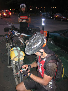 |
| Getting connected |
Connectedness
I spent a fair bit of time setting this up. My idea was to do a quick blog when we had some down time or when we were doing our text-in locations. For the most part it worked, but I am guessing with a few delays. These days, with an Android phone all you need to do after you take a photo is to press-hold on it and you are given a list of ways of sharing that image, from Twitter, Facebook, email, Blogger etc etc. I had an email-to-blog address that would send anything to my Blog and at the same time also post it on Facebook, and Twitter. Plus if I tweeted (txted) anything, the tweets would also go to my twitter feed, my blog, my facebook and the Kiwi Brevet twitter feed. For the less technically inclined people I had their email addresses designated in my blog settings so that they would automatically get my updates in their email in box. There is a limit of ten people on this.
Body
My body went great. Not even a bonk, no sore knees or muscle strains, a slight numbness in my right fore-foot, probably a result of some last minute cleat surgery but my butt was not that flash. I am not sure what the problem was with my nether regions, but I reckon it was even worse than last time, despite having good quality chamois cream and shorts, and having well and truly gotten used to my saddle. Maybe I need to try one of those big fat Brooks saddles? Most people who used them seem to think they were great. Not everyone, but the majority.
 |
| Click for a blow-up |
Bike
The bike was brilliant. Faster rolling 29 inch wheels would have been better, but you travel at the speed of the people you are with, and 9 times out of 10, you end up at the same place each night. Speed is rarely an issue. Comfort is. The Superlight is a great bike to ride and with aero bars and a Freeload rack on the back I cant imagine a set-up that would suit me better right now. I have to admit, the new 29er Santa Cruz Superlights look awesome. I had a small slow leak on the rear Stans Raven that I needed to add air too a couple of times. In the future I might sacrifice some wheel resistance for a tire with more grip, as the Raven was pretty hopeless in the Wharfdale track and through the Waiuta, both tracks being quite wet. These should have been the best parts of the Brevet, but for many they weren’t. Carrying a full load obviously doesn’t help either! Everywhere else they were mint.
My bike is essentially my cross country race bike with aero bars and rack attached. 23.5 pounds in race trim, but 39.8 pounds loaded, without any full water bottles on board. If you add up two 750ml water bottles and a 3 litre camelbak, you can see that there is a lot of weight in carrying your water. I was scared for my 28 hole wheels at times, but I am sure there are guys fatter than me riding on them more aggressively than I was.
 |
| Wharfdale – Photo from Andy |
The course
It was great, and doing it in reverse was a fun way of letting me enjoy it again. I suspect the original direction (counter clockwise) is the more natural one for the flow of the trails. Good weather and tail winds the whole time were the order of the day. Thanks heaps to Simon for thinking it up and holding it, as he promised would at the end of the first one, every two years.
Write it down this time, 1st to 9th Feb 2014. You know who you are !
I’d only ever ridden a tandem twice before. The second time was with my wife on the back, and it mentally scarred her so much it just reinforced her fear of bicycles. Many years were to pass before she was to step over a top-tube again. The next time she rode it was as a result of the
Bikewise ride to work month. All of a sudden she was commuting the 20kms into Wellington and back, and even joined the Voodoo Lounge team one year when we went over and did the 100km
Grape Ride in Marlborough. She even did a
Frocks on Bikes ride. That was probably the last time we had a summer in Wellington, so since then riding has not been high on her agenda.

I was starting to pine for the outdoors in the wake of the Kiwi Brevet and suggested that we load up the Jville Cycles Tandem and head for a short over-nighter somewhere close to home. Finding somewhere was a lot harder than we thought, so we ended up just taking the Hutt Valley River trails and riding from Lower Hutt to the top of the Rimutaka Incline and camping out there.
 |
| The little Trangia stove |
Tandems are a bit of hard work. (I now have massive respect for the people that used them in the Kiwi Brevet). They are so bloody heavy and getting them around the many stiles we encountered on the Hutt River Cycle way was a real team effort, a kind of two stage process whereby both of you loft the front wheel up in the air, and grab the second set of handlebars and steer it on the rear wheel. In fact the Rimutaka Incline itself was a doddle compared to the Hutt River Cycle way with all its little hurdles; all to keep bogans on motorbikes and 4wds out I guess. What really impressed me was that except for a few hundred metres you can get all the way to Te Marua on the River Trail. So much work has been done on these trails over the years. Credit needs to go to someone.
I noticed the rear cog on the tandem was very hooked, and had to wonder if it was not just my imagination that someone was pedalling backwards at times! Getting a sore butt seemed to be the major problem for Kay so many short stops were called for. I think the fact that you really need to be still on a tandem so as not to cause balance issues is partly to blame, as the seat was comfy, and also sported a suspension seat post. Obviously a lack of ride time for my stoker was the main issue, but by the time we finished our ride there was less protestations on the downhills and I got far less arm-pump from over braking than I did on day one.
 |
| On the way back |
I installed my two Freeload racks on either end of the bike, and my handlebar harness was made from an old Webstock Conference satchel. Other than that we had small back-packs on with a few little bits and pieces.
We borrowed my daughter’s tent and managed to repack it into a smaller package for stowing. Other items we took were two sleeping bags and mats and a small cooking kit with my little Trangia stove which I brought for the Kiwi Brevet but had not yet been used. One dehydrated meal for tea, a couple of porridge sachets and some Milo and we were set.
 |
| More suspension than we could handle! |
It was a nice warmish night in our little tent, although I gave my air mattress to Kay and I put up with the crappy closed foam one which is a poor substitute even on the smooth ground. Overall it was a big success with only the sore botty detracting from it. We will have to work on that ! With a few more miles in the legs for Kay it would have been a far more enjoyable experience.
If anyone is interested in hiring the Jville Cycles Tandem then get in touch with its minder, Peter Colvin who is building up a fleet of hire bikes and currently has 3 tandems. Peter and his lady have toured overseas so he knows a thing or two about setting one up. By the way this one seemed to have about 6 inches of travel on the front so it was a bit wasted on us!
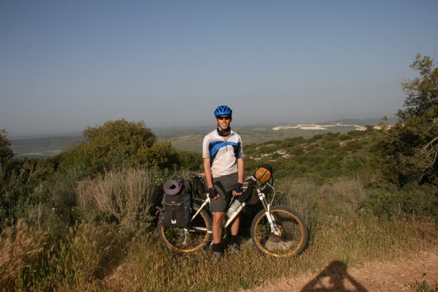
Introduction and Ride Info
In april 2012 I’ve completed a ride across Israel, starting from Mt Hermon at the north, finishing 18 Days and 1200 Km Later in the southmost point, Eilat city.
I was riding with a friend. this equipment list reflects my gear list for the ride.
I was carrying some more food as my friend had a small 2 person pot. In the desert we’ve given up on eating cooked meals to save some weighet on the pot and water needed for cooking.
It’s the end of winter and the begining of the spring at this time, meaning that the days will not be too hot, but nights may be cold and windy. We were not expecting rain but you’d never know if it’s gonna rain in april. The mornings are usually damp and on most days we’d wake up and the earth around us would be quite wet.
Other than that, the weather across Israel is diverese although it’s quite a small country. The Golan area at the north is cold, and the routes are muddy with deep mud-water mixture ponds, and the top of Mt. Hermon has a decent amount of snow. On the other hand, the desert is hot and dry.
My sleeping system contained of a light and thin sleeping pad and a syntethic sleeping bag warm enough for the season. We didn’t need a tarp tent or bivvy for this weather.
Other than that, most of the country is settled mening we’d have no problem re-filling our water, and buying groceries and food. The desert is not setteled and dry, which means we’d have to carry a lot more water and food.
We usually carrie about 3-4 meals and 3 liters of water in settled areas, and about 7 liters of water and food for 3 days in the desert.
These are most of the considerations we’d have to put into accound when packing.
The Bike:
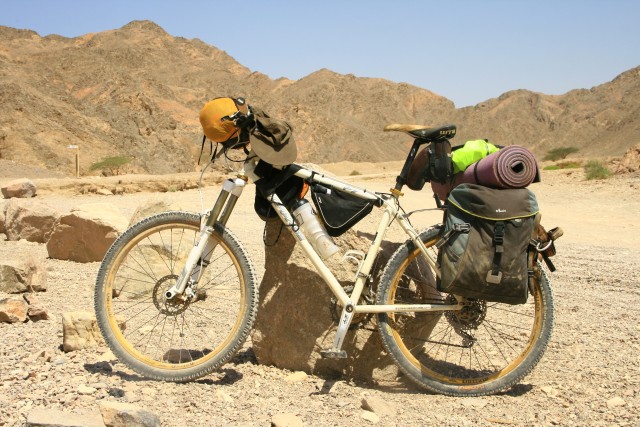
I was riding my Orange p7 bike, Complete XT Drivetrain except the shifters and brakes which are Deore. the fork is a RockShox Revelation Team adjusted at 140 MM. I use Azonic Outlaw rims and Hubs (Heavy but bombproof) and am riding Maxxis High Roller 2.35 on the front and Maxxis Advantage 2.1 on the back wheel. The saddle is a WTB Pure V on a BBB seat post. The headset an the bar are Sunline’s.
Along with the rack the bike weighs 15.5 KGs.
Packing System Explained:
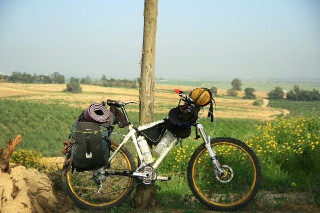
As you can see in the pictures, my carrying system was as follows:
two panniers on a rack – carrying most of the equipment
A frame bag which contained the mechanical spares, working tools and chain lube.
a Sleeping bag attached to the handlebar
A small seatpost bag for some accessible food – power bars and nuts.
DSLR Camera bag attached to the frame.
As I don’t like carrying a backpack while riding, I was taking along a small 11-liter backpack with a 3 Liter hydration pack, but most of the time it was inside the pannier.
I was carrying 2 Liters of water on the bike in hydrtion bottles. When needed, I was carrying on my back in my riding shirt’s backpockets some more water.
Weights and equipment used (all weights include the bag own weight):
Canon EOS 400d with a 18-135 Lens – 1.8 Kg.
The sleeping bag and the sleeping pad is 1.3 Kg
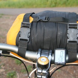
(The sleeping bag attached to the handlebar)
the frame bag 770 Gr – contained:
1 Swiss army knife
1 Leatherman Wave
A spare derailleur hanger
spare pieces of quick changing chain
Dry Chain Lube
a Cube Multitool
a pump
a spare tube filled with joe’s.
Some extra tools for tighetning the racks
Patch Kit
Tire Lever
Compass
The two panniers contained:
first aid kit – 180 Gr
Eating/cooking kit – Including a plastic cup, some olive oil, and different spices – 500 Gr
Sandels – 750 Gr
Camera Charger, Extra Camera Battery Pack, notepad, headlight, some maps,toothbrush, toielet paper,sunscreen,cellphone – additional 800 Gr
Clothing – Including the riding clothes I was wearing during the ride (3.5 Kg):
one pair of riding tights – short
one pair of riding pants – short
one riding shirt with 3 backpockets for water bottles
one long sleeved Columbia Omni-Heat base layer
one long sleeved Thermal Fleece shirt
one Columbia Thick Fleece Sweatwhirt
a light poncho
one pair of Long Fleece thermal Pants
one pair of leg warmers
one pair of riding socks
one pair of thick wool socks
two Boxer shorts
one traveller’s small fast-drying towel
one ong pair of pants
a set of Fox short riding gloves
Hat
helmet
buff
A Headband
A warm fleece beanie
Overall with the 3 liter hyration pack full and some food every pannier weighed around 4 Kg, including the 750 Grams of the pannier own weight.
Overall I was carrying 15.5 Kgs (the bike) + 4.5 (Camera, Frame Bag, Cycling Shoes) + 8 Kgs (two panniers, with their own weight and all the equipment inside including food) + 2.2 Kgs (Water + 2 bottles)
So overall I carried a maximum of 15 Kgs of equipment and another 15 Kgs of the bike.
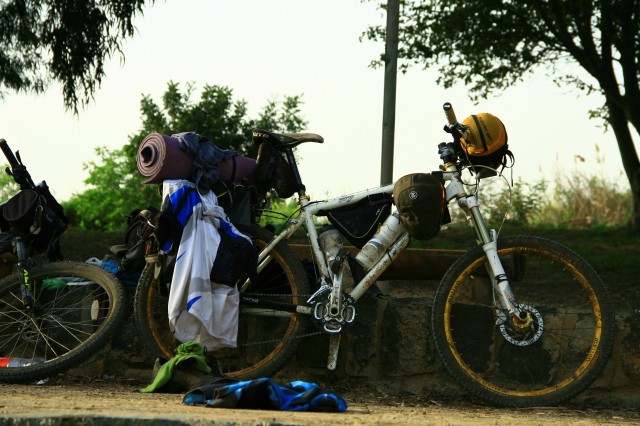
(the bike in one of the stops, assorted equipment all over the place)
What equipment did or didn’t I use:
I used all my equipment on a daily basis, Including the warm clothes as we’ve had a lot of cold, damp and windy nights.
As we didn’t take so many showers along the way I could’ve given up the towel.
What would I do different next time:
1. I really want to try and minimize the warm clothes section. Usually I carry only a long sleeved thermal fleece, and a long thick sweatshirt.
This time I was trying to have a long base layer, a long sleeved thermal fleece and to give up the heavy thick sweatshirt and instead to wear a light compact fleece and add the poncho.
I was trying this idea while camping with my family the night before the ride, but after about an hour outside it was too cold for me and I decided to pack my thick fleece and leave the light fleece sweatshirt at the campsite with my family.
2. If I had more time to orgainze for this ride, I would have tried to leave the panniers and the rack at home and get myself a decent seatpost and frame bags. I would really like to try and go bikepacking without the rack and the panniers.
3. I’d change my seatpost bag to a top tube bag. much easier access to everything needed.
I’d be happy to get comments for this gear list. any ideas on how going lighter would be appreciated 🙂
Liron.
Rode the Great Allegheny Passage and C&O Canal Trail from Pittsburgh, PA to Harper’s Ferry, WV in July of last year.
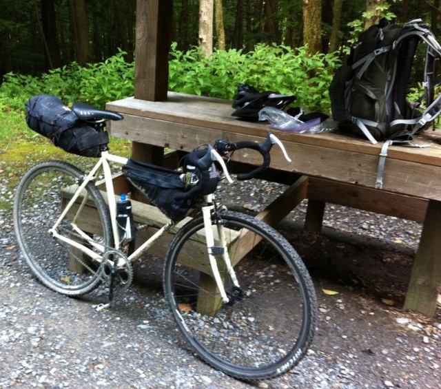
Trip write up is here
Trip pics are here
I documented a short bike packing weekend a couple of friends and I spent in September 2011, in northern Wisconsin. We were nowhere near as remote as many of the trips I have red about on this site, but the trip was enjoyable nonetheless.
Read our trip account here: http://www.crankhabit.com/2012/04/bikepacking-trip-nicolet-forest.html

This is my purpose built bikepacking rig. I built the bike on a tight budget (mostly with spare parts from other builds). Started off with a 12′ Surly KM 20″ frame. Set it up for a simple shimano xt/slx 1×9 drive train driving WTB speedisc/deore hub wheels wrapped in WTB 2.1 nanoraptor tires.
Kit List
- CDW Large Handlebar Bag
- CDW 8″ fuel cell
- CDW Medium Escape Pod
- RDW Mountain Frame Tangle Bag
- RDW Small Pocket
- RDW Bent Jerrycan
- MH 32 degree synthetic sleeping bag
- Thermarest prolite plus full length air sleep pad
- BA Lynx pass one person tent w/footprint and rain fly
- GOPro HD Hero 2 with mounts and batteries
- MSR Pocket Rocket Stove
- Snow Peak 600 titanium mug
- Snow peak spork
- Garmin Edge 800
- Homemade map case (binder pocket)
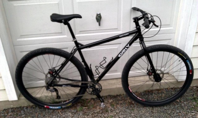
Bare KM
Bags are CDW medium seatpost bag, toptube pack, and large handlebar bag. The frame pack is a RDW tangle mtb specific and a RDW small pocket on top of the CDW handlebar bag. I’m also waiting on a RDW bent jerrycan pack for for use as a tool bag (using a rocket bottle storage container in the mean time).

RDW tangle bag (rocket bottle not pictured)
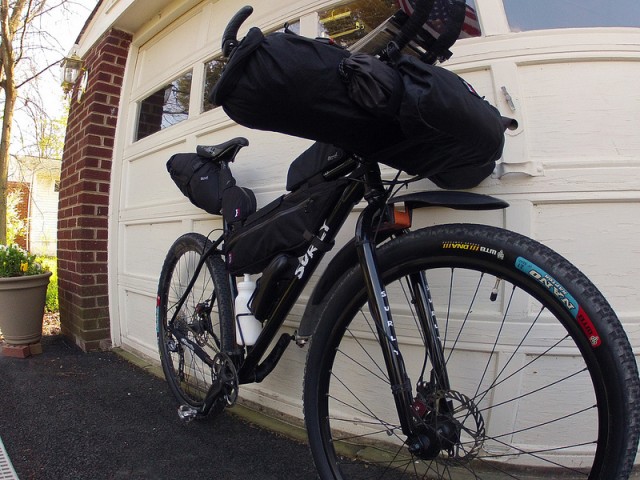
Full load with aero bars. Approx 55lbs including food and water for three days
Hello everyone. I just got back from a pre race (Stagecoach 400) shakedown bikepacking trip. Check it out.
http://bit.ly/I1UZ2U
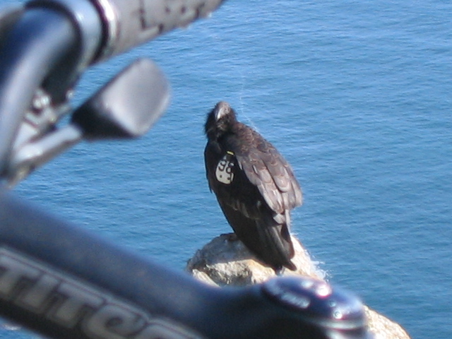
April 20th, 2012 in
Trip Reports |
No Comments
.jpg)
Weight: 330g
Fuel: rubbing alcohol, denatured alcohol, grain alcohol
Cost: $30 approx.
There are many variations of the Trangia alcohol stove but this is the smallest and lightest by far. It’s also the most limited offering, aimed specifically at adventure racers according to Trangia.
Even though I own a perfectly functional MSR WhisperLite I chose to buy a Trangia Mini for my bikepacking trips. The simplicity, lack of moving/small parts, and wide availability of fuel seemed ideal. The preferred fuel for many is HEET brand fuel line anti-freeze, which is just a fancy name for denatured alcohol. It’s widely available at Wal-Mart, K-Mart, grocery stores, and gas stations. One can also use rubbing/isopropyl alcohol or grain alcohol.
There isn’t too much to say about the working of the stove. You fill it with fuel, light a match, and it’s on. It’s so simple I really would consider this a great starter stove for younger campers. When you are done cooking simply cover the flame with the simmer lid and it’s off. The remaining fuel is stored in the stove with the o-ring equipped cap.
Some cons or things you should know. This is clearly a one person stove with main pot just big enough for two packs of ramen noodles. The frying pan is small as well, but you certainly could fit a veggie burger, meat, or some chopped veggies. The pot stand isn’t super stable, but with a level surface you’ll be fine. The pot handle works well and I was able to safely lift pots of boiling water, but some might find it flimsy.
My favorite part about this stove is morning use. Wake up, remove lid, light match….a few minutes later you have coffee and oatmeal. No pumping, no priming, no fuel smell.
Every Trangia kit is based on the same stove so find the kit you like and I don’t think you will be dissappointed.
Trangia web site – http://www.trangia.se/english
Just finished my first overnight backpacking trip w/ Mike B (http://www.bikepacking.net/individual_setups/my-set-up-and-things-learned/) in Western North Carolina’s Pisgah Nation Forest. We had a great single night out and managed to avoid all the major storms in the area!
Bike: Salsa Dos Niner w/ Blackburn EX-1 Disc Rack^ and two full waterbottles
In pannier: Mountain Hardware Ultralamina 32 bag, Hennessy Expidition Hammock, Mini Trangia Stove, two tubes, multi tool, pump, (2) CO2 & inflator, headlamp, bike cleaning toothbrush, lube, patches, emergency blanket, mg fire starter, iodine tabs, coffee cup, alcohol, flask, matches, pack towel, 2 beers, and cleaning rag.
In WingNut pack: (clothing) thin wool ls shirt, thick wool long sleeve shirt, non-cotton t-shirt, light windbreaker, running tights, socks, arm warmers, knee warmers, cap, crocs (food/misc) instant oatmeal, instant coffee, ramen noodles, sardines, vienna susages, trail mix, waterproof case with iphone/atm card/id/cash, spyderco knife. (plus 50ish oz water)
In REI handlebar bag: bandana, Bronners, contact stuff, toothbrush, TP, lighter, and Pisgah map. (You really can brush your teeth w/ Dr Bronner’s and it’s not that bad!)
Wearing: sleeveless wool base layer, baggies w/ removeable liner, non-cotton t-shirt, gloves, cycling cap, sunglasses, helmet
Lessons learned: Use HEET for the stove, definitely need some bottom insulation for the hammock, and while I didn’t really need it, the rain jacket I left behind because of it’s weight could have been critical! The only thing I truly forgot was a rear blinkie, but that would only be needed for pedaling home at night in an emergency.
I don’t think there’s too much I could trim except some clothing in warmer months. I used most everything on this list at some point. Mike and I both use/used panniers and we had several discussions about the pros/cons and large saddle bags. In Pisgah we find ourselves behind the saddle descending on a regular basis and I’m really not sure how the large saddle bags can work for that.
I loved my first bikepacking experience!! I’ll be back for more.
^Can work on 29ers w/ some mods
With but a single BikePacking trip to my name (Circumnavigating the Chisos/Big Bend), I offer my setup for your kindly review.
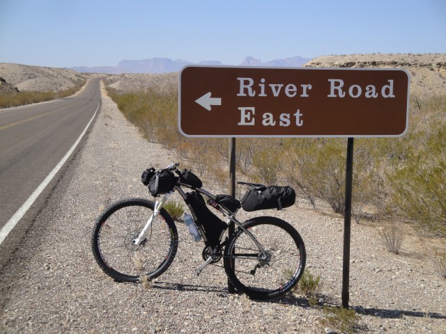
I hope this is readable:
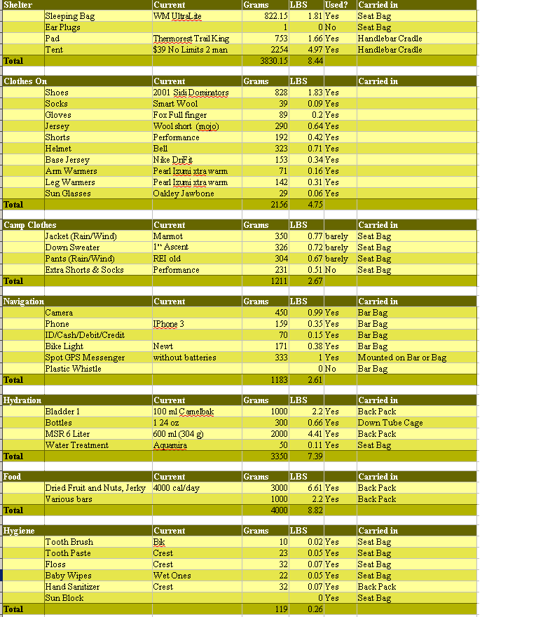
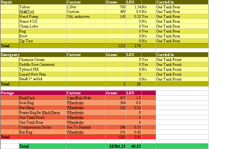
I stumbled across this site last year during the Tour Divide and it was the inspiration, source of information and even source of gear for my first BikePacking adventure …Circumnavigating the Chisos mountains of Big Bend National Park. Originally, the plan was to circumnavigate Big Bend National Park. After I got out there, breathed in the mountain air, relaxed and let some magic happen, I realized that it was the Chisos that I was riding around. Those mountains dictate the path.

Day one: you can tell the magic is working.
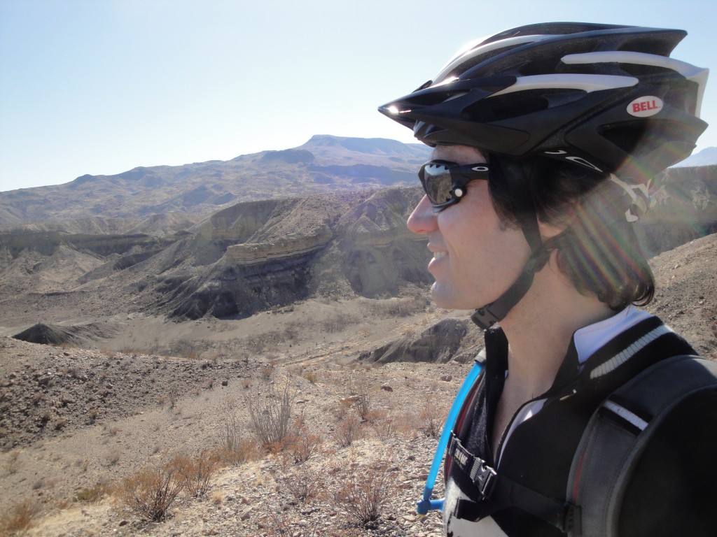
You can spot a water source from miles away out here. This was to be my first night, but the rangers told me it was closed due to bear activity.
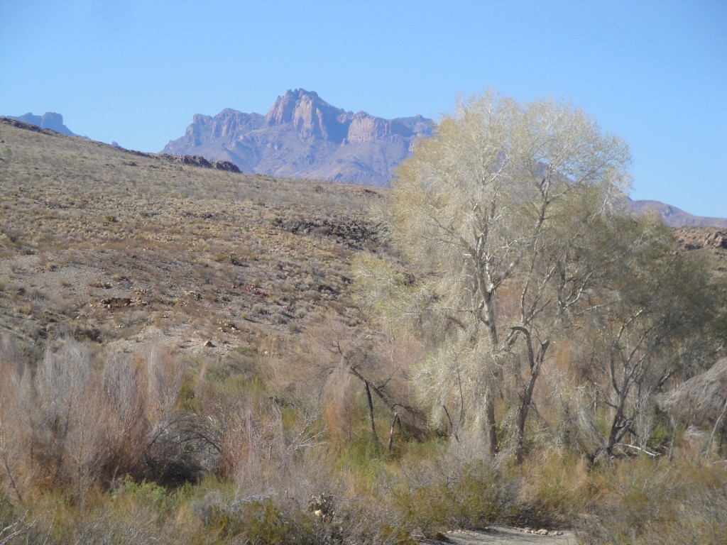
Day 2: This is pretty much the only shade all day until you get to that crack in the wall you can see on the far right –Santa Helena Canyon.
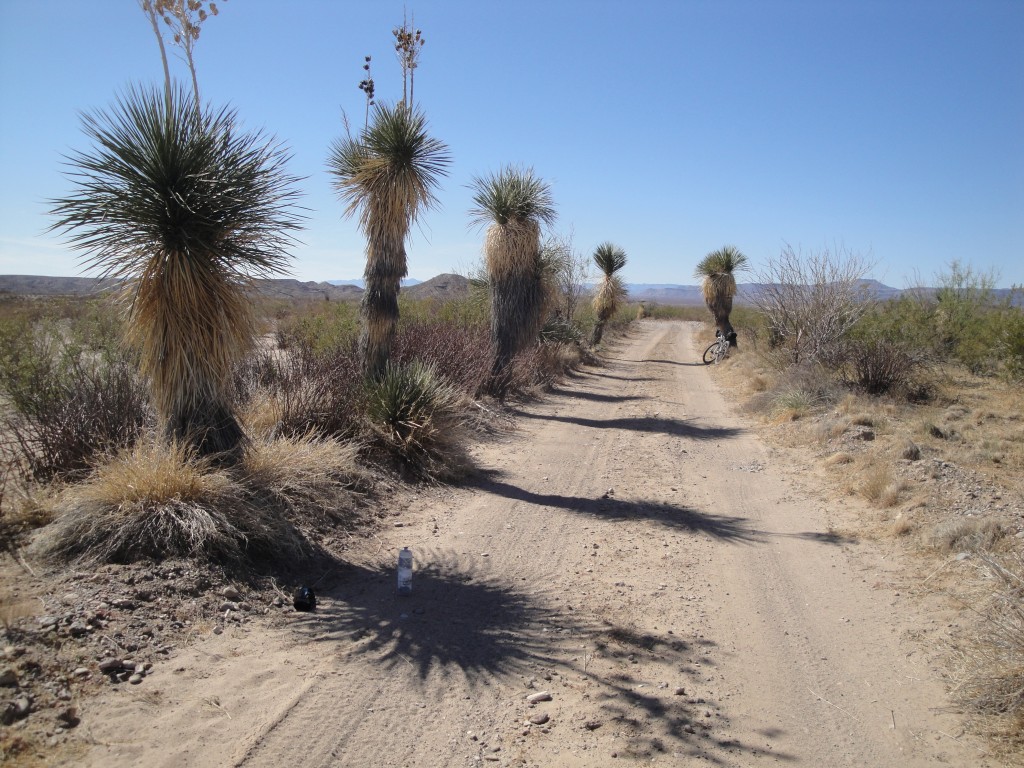
I was there for an extended Presidents day weekend, so too early for the best wildflowers but there were some.
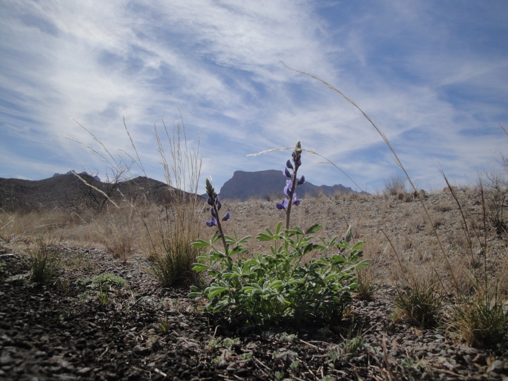
Day 3: Another view of the Chisos …from the NorthEast just atop of Dagger Flats.
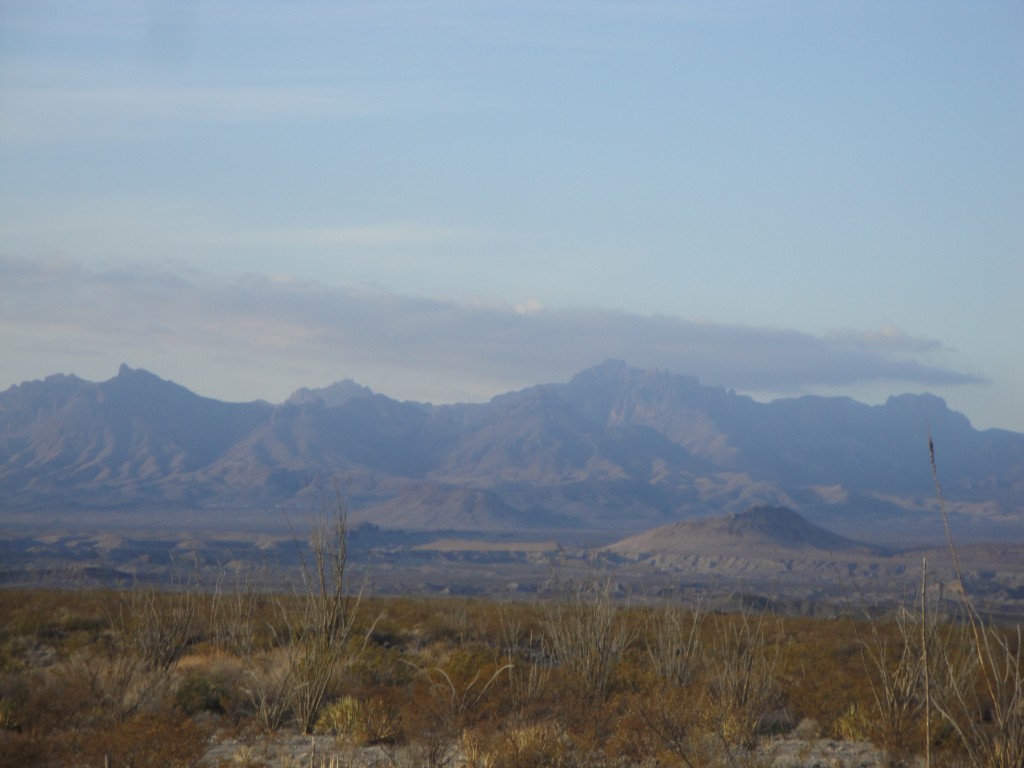
Day 4: Relaxing the Langford Hot Springs with the Mojos.

…and when it all was over I headed over the annual Chihuanuan Desert Dirt Fest.
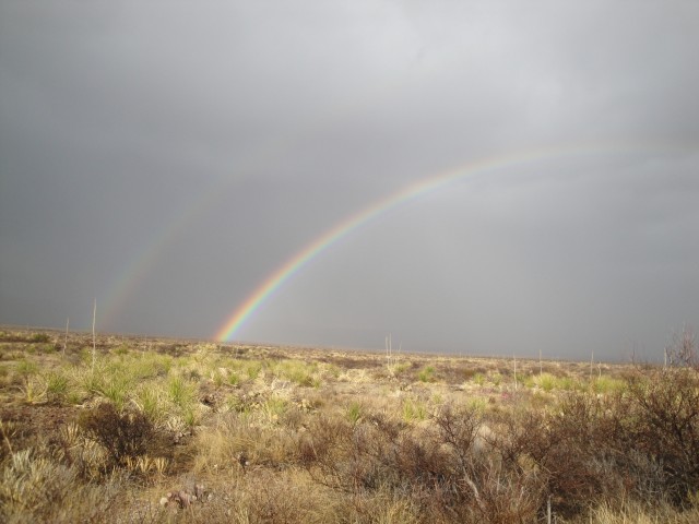
Here’s my SPOT data …of course I forgot to turn it on a few times.

Glen Isle
This is a lengthy account, so if readers want just the daily notes, skip to the Day __ descriptions. Otherwise, I just wanted to share my quest of (almost) completing the CTR route.
Over the past two summers I completed trips on the Colorado Trail. Since 2007, I had been seriously thinking about fulfilling a 10 year dream of riding the trail. Initially, in high school I wanted to hike the whole thing, but as the years went on I found it impossible to take the 30+ days off. I knew someone that had ridden the trail in about 3 weeks, but even that was too much time, and he broke many parts of his bike (a 1993 GT Tequesta used in a 1994 ride).
Then I heard about the Colorado Trail Race in the summer of 2007. These people were riding the whole thing in a week (or less)! It seemed extreme, and I was hooked. The many bicycle rack, bag, backpack, and gear combinations ensued. Many overnighters were spent burdened with too much gear, freezing with too little gear, and hungry because of forgotten gear. Other times I would sit around the house packing and unpacking my different rack-less bags, finding the perfect configuration, only to find the next weekend that a wet tent does not pair well with a down sleeping bag. I don’t think I’ve packed the same way for any two trips, and most trips were no more than 2 full days.
Weddings of friends and family kept me from riding the CTR in 2008 and 2009. By August 2009 there was nothing to get in my way. I had found a workable system and had the time off, but people kept getting married. By September I received news that some good friends were getting married on the weekend following the start of the CTR. I already knew that 2010 was out, too, because there was no way I could finish the ride in less than 10 days.
I signed up anyway. Part of me wanted to have access to a Spot tracker for my loved ones. Part of me wanted to experience the mass start that Monday morning. Part of me even thought that if things went well, I might skip the wedding and go the distance.
I bought a training plan from LW Coaching. I would highly recommend it to anyone wanting to attempt the Colorado Trail, and especially for anyone that has little experience with training in general. I completed probably 70% of the bicycling workouts and 10% of the weight training. I was riding my singlespeed Karate Monkey almost exclusively and figured I was getting enough strength training. I was wrong. The CT is hard, and I needed to train at 100% so I could spend my days at 70% effort. Got that formula backwards the first time around.
I would also highly recommend not starting with the CTR group unless you know you are in it for the long haul. I was transparent with friends, family, and other riders as to my potential timeframe and goals, but it never felt right to have a Spot tracker and to be a part of the CTR when I most likely was going to quit half way through. Start your ride earlier or plan a loop of sorts if you know your pace is nowhere near 100 miles a day and you have 6 days to finish. After all, the experience of clearing huge mountain passes and looking back on a distant ridgeline from earlier that day is what it’s all about!
There was much rain in the August 2010 CTR. Somehow, I avoided nearly all of it. Though I practiced all summer with a bivy sack, the forecast told me to pack my 1 person tent. The comment above about packing a wet tent with a down sleeping bag happened on day 0 of the CTR. I awoke at 5 am Monday morning and shoved armfuls of soaking wet and dirty fabric into my bar bag. It had rained maybe half a time all summer, and now I was in it for sure.
2010:
Day 1, the group of riders began at 6:45 am. Even though I knew it would be a stretch, I wanted to make to the top of Kenosha Pass that day. I arrived in Bailey around 4:30 and got a cheeseburger and espresso shake at the Knotty Pine. After a stop at the gas station, the weather looked grim. My tent was still soaking wet because I forgot to air it out during the sunny part of the day, the exceptionally dark clouds and sprinkling skies were only getting worse, and I had an overwhelming fear of riding Highway 285 in the dark. I rode to Glen Isle to get a room, rode back to Bailey to get cash, and enjoyed my first night with a shower and a bed.
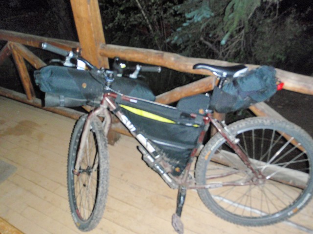
Glen Isle deck with bike and gear finally dried out.
Day 2, I was out the door by 5 am. Up the highway and back onto the dirt, the climb up Georgia Pass was awesome. My singlespeed weighed 45 pounds, and I did plenty of walking and pushing. That was okay because I chose tennis shoes and had no expectations other than to make forward progress. The views were awesome and this would only be the third time in my life that I mountain biked at 11,000 feet. Right near the top I saw some riders, but I never caught them. By 7 pm I was across Highway 9 and I found a little spot in a field to sleep. It was early, but 14 hours was all I had in me that day. Trying to sleep that evening was difficult because of a fantastic lightning storm right above me. Lots of wind and rain, combined with sore legs and even more sore arms and shoulders, made for a satisfactory day on the trail.
Day 3, I was out of the tent by 4:30 and moving by 5:30. Even now, as at home when I get ready for work, I need an hour to get going in the morning. I passed Mark and Nathan a bit before Miner’s Creek. Mark had a fire going and said he was still recovering from the first night, sleeping in a river of water on Georgia Pass. They both passed me a few minutes later, and Mark smelled strongly of a salve he had told me about two nights before in the Indian Creek campground. Oh, how I wanted something like that!
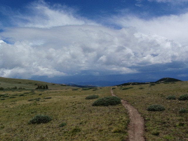
Looking back from near the top of Georgia Pass. South Park valley below.
Some light sprinkles that morning were no big deal, but I did find myself at a creek not familiar to the guidebook. I missed the Miner’s Creek “turn”. I backtracked to the junction where I had turned left instead of going straight, and made my way up. The trail got steeper, and the day got warmer. At one point, I pulled my tent out to dry and fiddle with my brake pads. On my descent down Wheeler Pass (not the real name of the pass, but close enough), I decided that rim brakes were not the best option. That, and I only changed the fronts before the ride, and the rears were in bad shape. This would eventually ruin a set of wheels, as I forgot to bring the spares, and the bike shops in Copper Mountain only stocked disk brake pads. Maybe it was time to get with the program of more modern parts?
On top of the Ten Mile range I watched a nasty rain storm blow right around me. Looking back on Georgia Pass was way cool, and knowing that some people make that same distance in about a day was humbling. A terrifying descent on my rigid bike, a Quiznos and gas station stop, coupled with my brake pad search and overall slowness through poop central (the horse trails at Copper Mountain), found me at the bottom of Searle Pass at around 7 pm. Nasty clouds were approaching, yet I had only covered 25 miles. Since I had avoided getting drenched thus far, I pitched my dry tent and relaxed. Perhaps I was not much of a racer, and my level of suffering was limited to 12 hours a day, but I sure was comfortable.
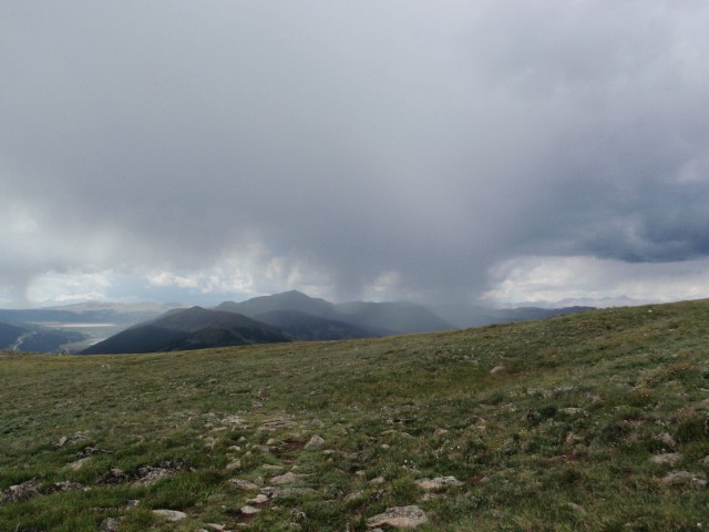
Top of the 10 Mile range, looking west. This rain storm blew right around me.
Day 4, the final stretch. 5 am once again out of the tent. I meandered up the pass and it was a beautiful day. The descent to Camp Hale was awesome, and upon crossing Highway 24, it felt amazing to have traveled so far. Remnants of heavy rain were everywhere. Deep puddles and heavy fog made the climb up Tennessee Pass mesmerizing and flying down Wurtz Ditch road made for a muddy me. Thoughts of quitting grew stronger as I neared Leadville.
Cycles of Life had the brake pads and the gas station had the Gatorade. Standing there on the edge of town I had two choices: head to the Halfmoon Campground and get some rest, or ride the highway to Clear Creek Reservoir where a friend was camping. Should I ride 20 more miles of the Colorado Trail tomorrow or 20 miles of highway tonight? I decided to quit right there. I placed a phone call to MTB Cast, put my tail between my legs, and spun my 32 X 22 gear down the road. I would finish 4 days with 185 miles (165 miles on course), certainly the longest bike ride of my life. Now that I had tried, I could put the Colorado Trail Race behind me. It is so difficult that “enjoyable” becomes a relative term and one’s mood swings from “this is greatest thing ever” to “why would anyone do this?” in mere moments. I really enjoy bikepacking, and it seemed that travelling a little heavier with a book, camp chair, and stove might be my speed.

Looking back towards Georgia Pass in the distance. I spent some time in this spot to dry out my tent.
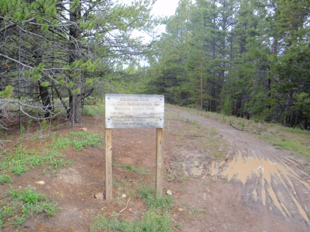
Evidence of the rain on Tennessee Pass.
2011
That feeling didn’t last. I became more obsessed almost immediately. I decided that gears must be the answer. And disk brakes. Surely I would move faster if I walked less, so I built up a fully rigid Niner EMD, ordered a new frame bag from Revelate Designs, and bought a new saddle to break in. I chose the EMD because all the cable guides run along the top tube, and that was the best way my bar bag fit while running my cables a little longer. The medium EMD has a much smaller front triangle than an 18” Karate Monkey, but it still weighs less with 27 speeds and aluminum than with 1 and steel.
In the spring, I began to reuse the LW Coaching plan again, a few weeks earlier than 2010. Soon I remembered the intensity of this plan. In 2010 I developed some pretty nasty saddle sores while doing the workouts on my commute. Too much of my life revolved around riding hard (intervals, heart rate zones, etc.), then sitting on a bus for 30 minutes, then riding easy home. I decided that I would do less of this for 2011, opting instead to ride straight home to lift weights and run a couple of days a week. Also, the LW plan didn’t have as much of a draw since I hadn’t just paid for it this time around. Summer went quickly, and I did lots of night riding, relearning how to shift gears and spin (after 2 years of SS, shifting became a burden), and how to deal with disk brakes. It was nice to train with other people (Joe, Brad, and Mark), and sometimes it felt like a little too much fun. Even trying to suffer greatly on some overnight rides, it would not compare to the real thing. Thursday, July 21 was the last day of work. Brad, Joe and I rented a 16 foot moving truck to drive to Durango. It was the only way to rent a vehicle one way, and I would highly recommend it to anyone wanting to ride SW to NE. We arrived in Durango at 3 am and slept in the back of the truck. At 5:45 am we dropped off the keys and rode to the Durango Diner where locals Joey and Sandia met us.
Day 1, the 5 of us rode to the trailhead, 3 of us carrying very heavy loads. Joe had convinced me that we might roll through Silverton after hours, so I brought enough food for 6 days, thinking it would take 4 days to ride from Silverton to Mt. Princeton Hot Springs. Spirits were high, and the scenery was beautiful. Durango has some wonderful trail, and only after a few hours did I realize that any miscalculation would result in a big fall; the lush vegetation masks the extreme drop-offs for the first several miles. Joe, Brad, and I all went over the bars that day in the first 8 miles. Joe is like a cat and nothing happened in his fall. I broke my speedometer, smashed my helmet, and tweaked some cable housing, but was otherwise okay. Brad was not so fortunate and his ride was over on the first day; Joe and I wouldn’t know it for a couple of days.
After making it to Kennebec Pass, the trail got harder. Bushwhacking while still ON the trail was a new experience, and there were plenty of sections where I had to carry the bike on my back. Indian Ridge was certainly a challenge; I’m not sure which direction is easier, for now I’ll say the opposite of the way I went. Joe and I got back down into the trees around 9 pm, where we ended the day.
Day 2: Blackhawk Pass and Rolling Mountain Pass. My plan from summer training had always been to make my oatmeal before going to bed (Mountain High brand) so I could shovel it in as I packed up. Little did I realize the importance of that soaking time. As I crunched through my breakfast, Joe warned me that raw “instant” food can be a real mistake for the digestive system. I heeded his warning and saw how well the food traveled while resealed (not well, in this case, making my backpack a mild sticky mess). There was lots of downhill trail to start this day… one particular bump robbed me of my camera and I didn’t realize it for some time. And, of course, there was lots of uphill, and people. The riding community around Durango looked to be very strong, and the CT Jamboree was going on. Oh, and there were lots of wildflowers, with vibrant colors, in vast fields and shoulder high along the trail. The beginning of my trip on the CT was a 50-hour wildflower experience, punctuated by high mountain passes and patches of snow. In these months since the trip, I remember fewer and fewer details, but I will be forever changed by the scenery in southwestern Colorado. Some mountain passes seemed to move in a straight line, while other sections snaked their way through the San Juans, around certain features, and “that spot” where I knew Kennebec Pass was would afford me that same awesome feeling that I got when I saw how far I’d come in one day. By 9 pm I was again toasted and wanted nothing more than a level spot to sleep.
Day 3: The beginning of the end of the riding partner. Joe and I found ourselves on the pavement at Molas Pass by 7 am, where I got a flat tire. I would end up getting flat tires on days 3, 5, and 7 (and 5 of them on day 7), all related to my rim strips. My rim-doctoring fix gave the rear tire a hop that I couldn’t notice unless I was on pavement, and the descent into town with a line of traffic behind me was less than pleasurable. At least people were cool and let me use my entire lane. Maybe time to go tubeless? In Silverton, I stocked up on more food, packing nearly 25,000 calories on my bike and back. This decision would serve me well over the next 6 days. However, I started having some stomach issues on this Sunday, and they only got worse over the next few days.
Climbing up Stony Pass on a hot day is not recommended. I moved slower and slower, and my power would not return for two more days. The altitude really affected me, but at least there was still a good weather window that would last just long enough. Joe was starting to get on my nerves. He had missed the turn up Stony Pass, rode nearly all of Cinnamon Pass, descended, caught and passed me, and waited (over and over for the next 2 days) at the top of every climb. I was thankful to have him along as a motivator, and he was thankful to have me along as a pacer, but I couldn’t eat enough and needed to rest, and he was concerned about daily milestones for finishing the ride on his schedule. It was a recipe for disaster.
We made it to somewhere in section 23 where I needed to quit early, promising to get up super early for the next day.

Joe and the bikes in section 23. That guy gets faster at altitude.
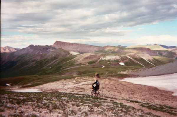
Joe descending in Section 22, Half Peak in the background.
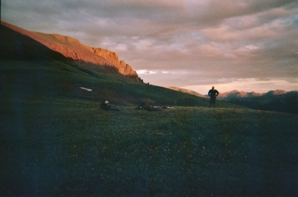
Camped near Half Peak. I believe this was the spot at the bottom of the mandatory dismount for CT racers (that we went up). The tundra here was certainly delicate. Tread lightly.
Day 4: The end. My “super early” start was at 6 a.m. Joe gave me an hour head start and caught me within 20 minutes of his departure. I focused on my breathing (he introduced me to pressure breathing, an invaluable skill I will use in other high altitude adventures) and the views, but mostly wanted to get it over with. A sense of dread for what I’d gotten myself into started to set in. I knew there was a lengthy distance to cover, and light rain began to fall. Seemingly flat fields were full of talus, and descents were over too soon. Joe kept telling me to ride my bike, and my stomach kept telling me to pull over. At last the trees appeared, and all I could think of was stopping. We met the sheepherder that spoke Spanish, and I could have spent the whole afternoon talking to him, but we had to keep moving. Rain started to fall harder, and by the time we reached Spring Creek Pass, I was broken. We made a wrong turn off the highway, down a drainage that lead to nowhere. I filtered water, and told Joe that he needed to go without me. He protested, saying that we needed to ride the entire La Garita detour that night, in the rain. I reminded him that this was an individual time trial and that we were riding under the same rules as the CTR, and that I had two more days to finish than he did. He was concerned about running out of food, and I was concerned about keeping food in my stomach. So he pressed on while I slept in the rain.
Day 5: A new beginning (of sorts). Getting on to the pavement of Slumgullion Pass at 4:30 am, I enjoyed my breakfast of sports drink. At the summit, I had to pull off the road again and it dawned on me: the sports drink! This particular supplement has one of those warning labels about being processed in a facility that processes shellfish. I have a mild shellfish allergy and usually don’t worry about it, but I’d been drinking two of these every day, and combined with heavy physical exertion, my body was rejecting the drink. I knew something was wrong because I was smelling, sweating, and seeing in a lemon lime aura. I would have to stop taking the supplement, even though it was my (perceived) lifeline to long hours spinning in the saddle. If it worked, I would be much better; unfortunately, those drinks constituted around 2,000 calories of my food stash.
LOTS of descending was nice, and the climb up Los Pinos Pass wasn’t too bad (still had some bathroom stops along the way). All I could think about for the whole day was quitting. The good part of riding the CT backwards, I guess, is that you’re so far away from anything that quitting isn’t really an option. I still had plenty of food, and my GI issues would hopefully get better. The ride through section 18 was an absolute blast. Mentally I was starting to pick it up again, I had plenty of power at “low” elevations, and I passed my mileage from 2010. I covered 70 miles that day and made it to section 17. This would be my longest day, 16 hours, and also my day with the most detours. I second guessed myself at so many turns, and looking back on how obvious the trail should have been, it just goes to show that a GPS can certainly make one faster than without.
Day 6: Section 16 is harder than 17… sort of. I met Apple early that morning and chatted with him. I grabbed a little food and made my way back up to higher altitude. After sections 23 and 22, the ten and eleven thousand foot elevations of 17 were no big deal. From reading other CT accounts, I dreaded this section, so I decided to make steady progress and not worry about the details. I counted roughly 5 climbs in the data book and the first 4 went quickly without too much effort. The fifth climb seemed to last for hours. When the descent into section 16 began, I thought I was home free for the day. I had picked a spot to stop after climbing out of Tank Seven Creek, and figured it would take an hour or so to get to. I was wrong. There was a section of trail here that reminded me of that very first day: bike- on- back option only, and at the part of the day when I was mentally winding down. Though this was the only difficult part of section 16, I counted it as an extension of 17 to keep it in the “potentially horrible” category. Two hours later, I found a suitable spot up on the ridge. This was the best day of my trip, partly because my body was again processing food correctly, but mostly because I knew I wouldn’t run out of food. I had been eating 3,500 calories a day for the past four days, and although I was budgeting those bagels and servings of cheese whiz and precooked bacon, I wasn’t starving and had plenty of energy.
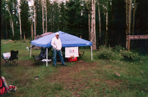
I finally met Apple after reading about him for the past few years.
There was a massive lightning storm all around me and I thought it might be best to not be at 11,000 feet, but figured I could make better time in the day. The storm was well in the distance, and I would find out later that the Salida and Buena Vista areas had been getting severe rain and lightning for the past couple of days. It never even rained that night. My good fortune on the Colorado Trail was continuing into a second year. Joe told me later that his experience on section 17 had to do with ankle deep hail and lightning; Apple told me that when Joe came through the day before me, he was spinning 90 rpms, red in the face, and missed the turn off the road onto the single track, and didn’t even notice the trail angel as he sped back to the correct spot!
Day 7: Expectations were not met. I thought for sure that I could make it to Buena Vista in one day, but it would turn out not to be true. I slept in and didn’t get on the trail until 9:30 without any regrets. As I neared Marshall Pass, I felt squarely back with the masses. It was a weekday, but there were cars and motos and mountain bikers everywhere, and after the previous day’s experience I prepared myself for more-difficult-than-expected terrain. Before I knew it, I was at the top of Fooses Creek. I exclaimed, “that was easy” and the group that had just finished walking up from the other direction gave me a look. I ate my last sandwich, leaving only candy and cashews to get me through.
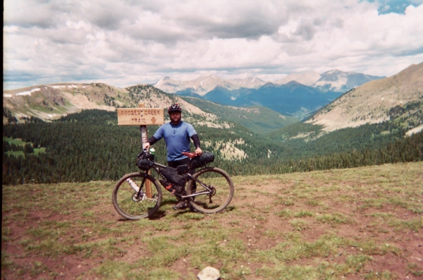
Top of Fooses Creek. Don't get fooled that you are close to Mt. Princeton Hot Springs from here. A faster rider could certainly make it in less than a day, but my individual time trial was turning into a real vacation. Sleeping in, lots of breaks, and still somehow avoiding the torrential rains.
At Chalk Creek, I noticed that my SPOT was out of batteries. No big deal, I would get new ones soon enough. My SPOT stopped working altogether and I eventually had to exchange it for the second time. I have either gotten 2 bad units or SPOT trackers really suck. My third one has been working, so hopefully that continues.
Once I crested the climb out of Chalk Creek, the riding was an absolute blast… for about 10 minutes. My last flat tire had occurred two days prior at a mosquito- infested section of Cochetopa Creek. My makeshift rim strip was looking more and more dilapidated, and the excess tape was making tire changing very difficult. For the next HOUR I tried to so a simple flat fix. I pinched the tube with the tire levers while putting it on twice, and ran out of tubes and patches. After some swearing and grunting, I managed to get everything back together and got some air in the rear tire. I love the Topeak morph pumps, but the mini morph no longer gets my vote; the bigger models are far better for me and worth the bulk and weight. By this time, I had changed the tire 4 times. I rode on with about 20 psi and after 1 descent I knew I should increase the pressure; after all, 20 psi is an ideal amount of air for riding rigid, and I wouldn’t want to be too comfortable. When I took the presta-Schrader adapter off, it took the whole valve core with it! I screwed it back in and counted number 5 that day for the mini morph.
As the day continued, it became evident that I was not going to make it to Buena Vista. In fact, I was still several miles from Mt. Princeton Hot Springs when the sun went down. Clearly this had stopped being a race for me, though I was still putting in lots of effort each day. My decision to start my day 3.5 hours later than normal was coming back to punish me. I found a great little spot and rolled out the gear for the last time.
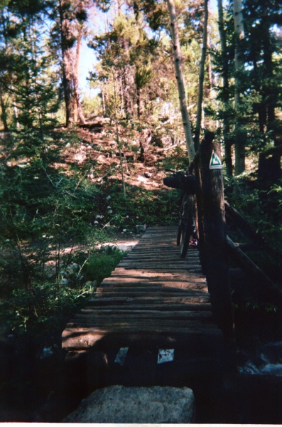
A bridge near Brown's Creek.
Day 8: Getting lazier. Though not out of food, I did run out of some other consumables. It turns out that gauze from the 1st aid kit made for a nice substitute. By 11 am I was at the Mt. Princeton Hot Springs county store. After interacting with some grumpy locals, I grabbed more food: chocolate milk never tasted so good! This is when I got the word about the recent local weather patterns. I still had 12 miles of dirt before Cottonwood Pass, and some nasty clouds were developing to the west. I had to make a decision: ride the Colorado Trail (plenty of uphill) through the rain and hopefully make it to the post office by 5 p.m. where I had a mail drop or ride the county road (all downhill) into town. My “race” was over. I was in Buena Vista by 2 p.m. where I promptly got a room at the Super 8. At the post office I ran into John Fettis, someone I recognized from the Tour Divide and CTR discussion threads. He was getting ready for the CTR that coming Monday, and was working out some altitude issues. I spent the rest of the day doing laundry, working on my bike, and eating pizza. It was the first hot meal since the Durango Diner. It was Friday and I had 4 days to finish the trail. One day at a time, I told myself.
Day 9: The final stretch. I was on the railroad grade heading out of town by 5 a.m. The riding was beautiful. There were campers and rafters, cool breezes and a beautiful sunrise, and I hoped to make it to Camp Hale that day. Camp Hale, then Copper Mountain, a likely detour around the 10 Mile range, and a late Monday/early Tuesday finish sounded like a good plan.
But my slowness prevailed. The riding around Independence Pass and Twin Lakes was amazing. I had ditched the backpack, but I wasn’t moving appreciably faster. I made it to the Halfmoon Campground by 3 p.m. and as I rode past all the happy campers relaxing in their spots and telling stories of the 14er they hiked that day, I wanted nothing more than to stop and sit in a camp chair of my own. But I had no camp chair, and no one to tell stories to, plus the campground was full. On the road to Leadville, I was met with a constant stream of vehicles, and I knew approximately how long it would be to Tennessee Pass and beyond. I had some friends that were on call to pick me up in the event of failure. It seemed that at my pace the best I could do was Bailey, plus I had some other troubling issues: my hands felt weak and I worried that I might be causing permanent damage. Plus, I had already ridden those 165 miles the year before. So I called a friend to pick me up in Leadville on Sunday morning, got a room on the edge of town, bought a rotisserie chicken and some beer, and called it a job well done.
2012?
I can safely say that, as of now, completing the entire CTR route in one try is not on my radar. I have some unfinished business outside of Buena Vista, and of course all of the wilderness areas as well. With all of the gear buying, I own 2 complete bikepacking setups, so I can share the experience with others in the future. Getting out there is still what it’s all about, and there are so many possibilities out there that the Colorado Trail will become less of a focus and more of an accessory in the future. However, some have said that folks that don’t finish the trail will be haunted by it for years to come. Time will tell.
Some after thoughts:
The trail was hard on my hands. I couldn’t button my pants or turn the keys in my ignition for weeks afterwards. They have been getting stronger by the day, but it has been a lengthy process and I still can’t open jars. Changing grips from Ruffians to something else might be a good idea.
I ride rigid because of the simplicity, plus I tend to do better on technical trail without so many moving parts, even if I move a little slower. It is also the cheapest way to make the bike lighter. But rigid on the Colorado Trail is a special challenge. I’ve read reports where even front suspension didn’t seem to do much to help with sore hands, and I’ve read other reports where full suspension bikes got completely blown out. One thing I know for sure: section 23 and 22 backwards would have been way more fun with some cushion.
After a lifetime of rim brakes, disk brakes are still a bit annoying. They make funny noises and, at least with mechanicals, contamination was a big issue for me (dirt in the housing). I also had my brakes set up wrong, not allowing for the proper actuation; Joe helped me with that at 8 p.m. on Indian Ridge. I know that much of this is a learning curve, but I also know from working on other people’s bikes that warped rotors are a universal challenge. Either way, make sure your bike is dialed before your trip, and go on at least one outing with 4-6 days of food, and consider packing your bike with wet gear to see if everything still fits.
I commute 100 miles a week and in general do not enjoy bags on my back. All summer I tried different configurations and after I mailed my backpack home from Buena Vista, I thought that things would be smooth sailing. It turned out that I preferred wearing one. My water intake system had been refined in those 8 days, and changing things on the last day didn’t work out for me. On that note, I don’t think I’ve ever packed the same way for two trips, and even within the same trip, things seem to shift around according to immediate needs. I’ve learned to not be too attached to one configuration.
Specialized Captain tires were a great choice for the trail because of their stability and dependability, but are essentially the opposite of the faster-rolling tires I prefer. For the road detours, I hated those big knobs; I would choose the faster tires in the future.
I had everything I needed on this trip, but a second cyclo-computer would have been nice (or maybe a GPS). I even cut out sections from the CT guidebook to bring along, but didn’t need them.
I will put in a plug here for the Geronimo Pain Cream. That stuff is amazing and I had virtually zero saddle sore issues on the ride in 2011.
Finally, I have to thank my amazing wife Lynette for agreeing to my 2011 ride, only 2 weeks before our wedding. The obsession over gear and food, the many overnighters away from home, and the financial commitment would not have been possible without her support.
This is my first experience with building my own bike, it was love and hate. The wheels I had built by hand and they are wonderful. I thought I would share some pictures of her on her first maiden voyage. I really love the Jeff Jones bars with the “thumbies” What a great combo. I am going to set up my bags soon and I will add pictures then. I have a Revelate harness along with the gas tank and seat bag. I have a beautiful Carousel frame bag, nit made for me, but it fits snug. It is one of his deluxe bags and is quite remarkable. April I leave for a tour of Death Valley and the Grand Canyon. Plenty of questions to come. I don’t know where to begin as this will be my first bike packing tour!
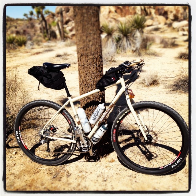
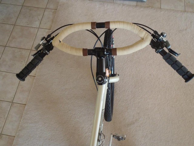
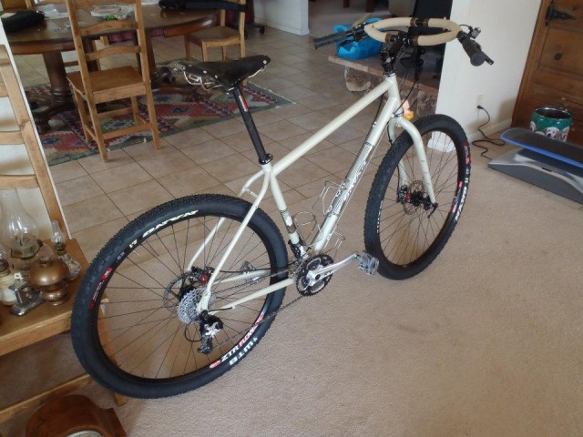
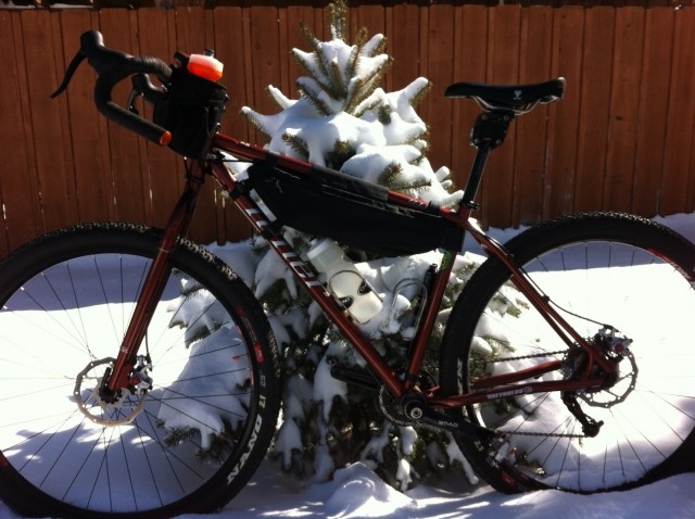 my converted Niner SIR9 to a Bikepacking Bike
1×10, woodchipper bar, Revelate Designs Tangle bag, harness, and Seat bag (Not Pictured)
on my back will be Wingnut Hyper 3.0 pack
Still trying to figure how to fit all my gear inside everything, any tips would be great
Last math test graded — let the four-day weekend begin. I wasn’t entirely sure what I wanted to do, so on Friday morning I threw an assortment of gear on my milk crate commuter rack, biked across Montrose to borrow a truck from a student’s dad, and took off for Grand Junction.
There, I met a friend and hiked into No Thoroughfare Canyon to check on ice conditions at the waterfall. They were stellar.
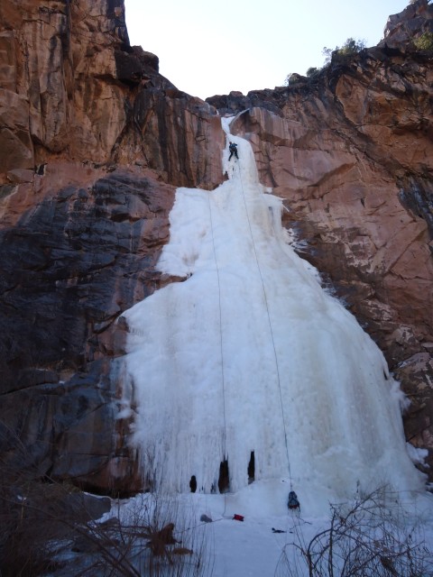
After a couple of simul-toprope-solo laps, we hiked out to blue skies at 50F. Naturally, my mind turned to singletrack.
I headed over to Lunch Loops and secured some major Facebook bragging rights: ice climbing and mountain biking in the same day, in the same zipcode.
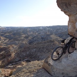
However, delusions of electronic grandeur occluded my common sense and I left the zipper to my gas tank open. Somewhere on the Tab, my wallet went huckster on me. I didn’t realize it until dark, so I returned to Lunch Loops on Saturday morning and repeated my route, to no avail. (Last name’s Nuffer if anyone finds it).
It’s hard to be demoralized on such a beautiful day with a full bikepacking kit in the truck. I decided to be upset tomorrow and ride the heck out of today. So I loaded up and hit the Kokopelli Trail from the Loma TH, intending to get as far as I could and then turn around the next morning.
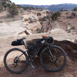
Cleaveland Mountaineering full kit. Felt like a mountain bike!
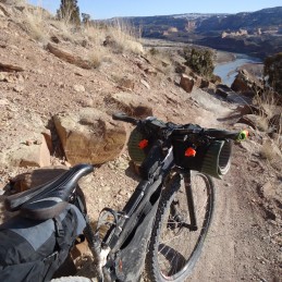
It was fun riding Mary’s et al., but I was glad to get outside of the amusement park and into the sidecountry.
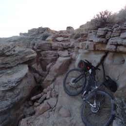
Singin’ “I love hike-a-bike / Throw another Snickers in the gas tank, baby …”
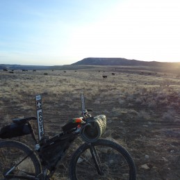
After all that intermittent hike-a-bike, this dirt road was cash money. I rode it until dark, then stumbled across Rabbit Ear Trail, whose trailhead sign promised “one of the best views in the Grand Valley” after 700 vert. Why not? Pushwhacked up until a good spot presented itself near the top, then bivvied up under some scrub for wind protection.
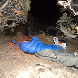
Golite 20F down quilt, Ptarmigan Goat bivy, a hooded down jacket, and 1.5 Ridgerest pads. Should have been bomber for that 15F night, but I didn’t have much to bring for dinner since I hadn’t planned on losing my wallet. Rather than eat the next morning’s sacred Pop Tart, I pounded a plain tortilla and some cinnamon chips. Then, for lack of anything better to do, I went to bed at 7:30.
The next morning I wide awake at 4:00, cursing the inventor of bib shorts whose performance innovations necessitate removing ALL of my upper layers to go about the morning routine. Never again. And as great as the sunrise view would’ve been, I didn’t feel like waiting three hours for it. Packing up, I half-rode, half-pushed back down to the KT, then retraced my route by headlamp.
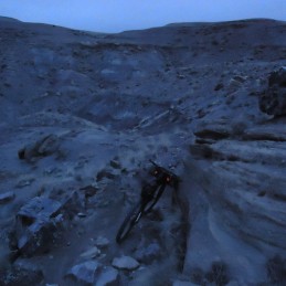
Some sweet dawn patrol riding on the way back to Salt Creek.
I took the singletrack cutoff to the dirt road connecting the trailheads and cruised back to the truck. 7:45 of riding, 17:00 total. Once I got home, I dropped off the borrowed vehicle and rode pavement back to my refrigerator.
Of course, none of this wallet-losing, grueling-rations business would have happened if I hadn’t lost my lucky T-rex last month.
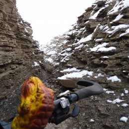
The Mojave desert occupies a large part of Southeastern California, including Death Valley National Park, Mojave National Preserve and Joshua Tree National Park. It is an ideal place for winter bike touring (November through February). Plenty of dirt roads with almost no traffic, mild temperatures during the day for the most part, little rain or snow, ability to camp essentially anywhere. Touring this area in the summer (May through September) is not advisable, due to intense heat and need to carry huge amounts of water to replace what is lost perspiring. I am not sure about the shoulder months (October, March and April). Somewhere on the internet, I recall seeing a chart of average wind speeds for the Mojave area, which showed the maximum was from April through June, and the minimum from November through January, which is another reason for preferring the winter months. For those who like solitude, the period from November through February (other than the Thanksgiving and Christmas holidays) has the least visitors in Death Valley national park, and probably the rest of the Mojave as well. March and April have large numbers of visitors, due to the springtime wildflower display.
What follows is a trip report for my tour of this area in Nov and Dec of 2011.
Mon Nov 21
Took CREST bus from Reno to Lone Pine ($60). Racks on bus just wide enough for 2.25″ (57-559) tires. Would be a problem with fatter tires. Checked into Dow Villa ($50 incl tax for room with shared bath down the hall). Starting odometer 286 miles.
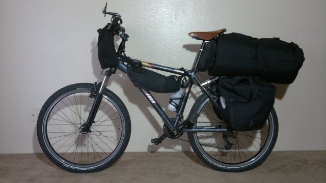
bike and gear that I used on this trip (details here)
Tue Nov 22
I was anxious to get onto dirt roads as soon as possible, so I rode north a mile or so and then took the Lone Pine Narrow Gauge Road (street sign and shown on road atlas map), then the Dolomite road, then Highway 136 until Saline Valley Road. Camped amidst Joshua trees before the Santa Rosa Wash, 5200′ elevation. 40 miles bike travel today. (Distances are from the bike computer. Thus I won’t be counting miles of hiking, if any.)

campsite near darwin plateau
Wed Nov 23
I slept with the bivy top closed and there was heavy condensation in the morning. Ice all over the top of the quilt. Ice in the water bottle as well. Bladders okay because I brought them into the bivy when I realized temperatures would drop below freezing. Having doubts about this bivy sack. If condensation is this bad without rain, what will it be like with rain?
Continued along Saline Valley Road. Had to push the bike at times, since I am not yet strong enough to pedal up steep hills, especially with the bike fully loaded (16 liters water and 13 lbs food). Raised the saddle, because it was too low. Ate some snow (patches 4″ deep under bushes on Lee Flat) when I felt thirsty, because I wanted to conserve water. Later, encountered a stream running in Jackass Canyon and filled up there. Some parts of the road down Jackass canyon had 12″ of snow, but this was powder and had been compressed to nothing by cars. About 20 cars passed me, all descending Jackass Canyon. The Thanksgiving holiday crowd.
Hiked for an hour up a side canyon towards springs marked on the National Geographic map (Big and Little Dodd springs) but couldn’t find them, though I did encounter a clump of trees and bushes indicating water available underground. Maybe these are seasonal springs. This side expedition made me realize how much easier it is to hike than ride a heavily loaded bike. But the bike reigns supreme on flat stretches of paved road, where hiking is very demoralizing.
Camped near the side road (Lippincott road on the road atlas map) which leads from Saline valley to Racetrack valley. Campsite at 3400′ elevation. Wild burro curious about me as I was setting up camp, but I chased it off. Starts to get dark about 5PM, so I’m stopping at 4PM and under my quilt by 5PM. Sunrise about 6AM. Based on my experience hiking, I will typically rise about 6AM and be on my way by 7AM. Thus 13 hours under the quilt, 9 hour of travel, not counting rest stops. 20 miles.

descent into saline valley
Thu Nov 24
Today is Thanksgiving. No condensation in bivy in morning. So maybe the design is okay after all.
Fell and hit my forehead on a rock while descending a particularly steep and rocky stretch of Lippincott Road. I was going very slow (in fact, that is why I fell, since the bike stalled) and my fur felt hat protected me, but the lesson is clear. I need to stop and walk the bike when conditions get particularly rugged. Also, I’m still adjusting to the higher saddle. I don’t want to lower it back to where it was, because I need all the power I can get for ascending.
Grueling ascent to Lippincott Pass (pass between south end of Saline and Racetrack valleys). Had to push the bike the whole way. Steep and covered with big rocks. Multiple stops to rest my pounding heart and exhausted arm muscles. Note that I am fairly strong (I can do 15 pull-ups, for example) and carry lightweight gear. Weaker bikers, especially smaller middle-aged or older women with weak upper body strength, or anyone with heavyweight gear and the same amount of food and water as me, will likely find pushing a bike up this road impossible. Warning sign at the top: “Only for high-clearance 4-wheel-drive vehicles and experienced drivers, no towing service available”. What happens if a jeep descending meets one ascending, since the road is too narrow to pass? The usual rule is that the jeep descending has to back up, since the ascending jeep might gain speed and lose control if it tried backing up. The thought of backing up on this road in a jeep makes me shudder.
Racetrack valley road is terribly washboarded. Nerve-wracking after a while. Talked to a guy photographing the moving rocks on the Racetrack. He’s driving a big Land Rover, loaded to the gills with spare cans of gasoline and water, shovel, winch and other gear for extricating the vehicle from deep sand and other obstacles. Biking may be more complicated than hiking, but at least it is far simpler than traveling in a motorized vehicle in the backcountry. Turned at Teakettle Junction towards Hidden Valley and camped before Lost Burro Gap, at elevation 4500′. 20 miles.
Fri Nov 25
Slept with the bivy top closed again, even though there was no likelihood of rain or heavy dew. Not sure why. Maybe just a habit. The idea of wanting a dark cave to crawl into for sleeping. Bivy very loud when wind picked up. Furled the top and the noise disappeared. Need to get used to sleeping under the stars and only close the top when absolutely necessary. Temperature somewhere in the 40’s. I think that first night was exceptional and I won’t see freezing temperatures again for several weeks.
Pedaled and pushed the bike to Burro spring trail, then hid the bike behind a rock and hiked up the trail towards the spring, but no trace of water. Lots of 3″ deep snow patches under the bushes, so I made snowballs and ate these to keep hydrated along the hike. Still 12 liters or so of water in my bladders, but I’m curious about the spring situation here. Also, searching for water is a good excuse for some hiking, which is far more pleasant than biking on these washboard gravel roads. Wide tires, with moderate air pressure, is a must for this sort of surface, especially for a bike without suspension. Felt quite tired today. Probably the after-effects of that struggle to get up Lippincott Road.
Camped behind a hill in Hidden Valley, elevation 4600′. Ground very sandy. Tent stakes would never hold. So a bivy is definitely the right choice. Or a standalone tent for those who aren’t weight-conscious. I picked up two sticks in Jackass Canyon, but that may be the last trees I see for a while, so I’m using smooth rocks for wiping and saving the sticks for cases where there are neither sticks nor rocks, nothing but sand. I didn’t treat the water in Jackass Canyon, incidentally, but it doesn’t seem to have upset my stomach. I probably still have immunity from all the untreated water I drank along the PCT earlier this year. 14 miles.
Sat Nov 26
Slept with bivy top open for a change. Under the stars in other words. No condensation, no dew. Small amount of ice in bottle and bladders, so temperature evidently was just slightly under freezing.
Stashed the bike amidst the bushes and hiked up to Lost Burro mine. Interesting relics rusting away up there. Doesn’t seem to be much growing in the desert, but still easy to hide the bike. If I didn’t know where to look, I would never have noticed it from the road, even though it was only 50 feet away.
Roads very washboarded. Assuming I travel at 6 miles/hour and can tolerate maybe 5 hours/day of such roads, distance/day will be 30 miles. Not that I’m in a rush, but I do need to have some idea of how fast I will be moving, so as to plan my resupply stops. 30 miles/day is slightly more than my typical hiking distance of 24 miles/day. Biking on washboarded roads is more nerve-wracking than hiking such terrain, but biking takes less hours and is less physically tiring (other than for steep ascents). And the bike will prove its merits when I hit long stretches of flat paved road. So the best approach is to combine biking and hiking. That is, bike on the flats, then stash the bike and hike in the hills for a change of pace, which is what I did both today and yesterday.
Saw maybe 50 cars and trucks. All this traffic should be gone after Sunday, when the Thanksgiving holiday crowd goes back home. Camped about midway between Teakettle Junction and Ubehebe Crater, at elevation 4600′. 23 miles.

between teakettle junction and ubehebe crater
Sun Nov 27
An hour or so of the nerve-wracking washboard, then stopped off to view Ubehebe crater, then sped down the paved road to Stovepipe wells. Straight downhill all the way, 2500′ of descent, very smooth road. First time I’ve ever ridden the bike on roads like this. Only a small number of cars early in the morning, and those passing me gave me plenty of space, so not really annoying. Skipped Scotty’s castle because I wanted to get to Stovepipe Wells early enough to shower and wash my clothes. (I need warm sunshine to dry them, since I only have a single pair of clothes). Shower/swimming pool access was $4. Ate a lot of junk food at the store and bought some corn tortillas and cheese for the next few days of travel. I want to conserve my rice and peanuts, since these will be hard to replenish.
Camped amidst the sagebrush, near the Stovepipe Wells airport, at elevation 0 (sea-level). 57 miles.
Mon Nov 28
Long ride uphill (4000′) to Beatty, along the Daylight Pass road. Pushed the bike part of the way. Pushing uphill is easier than riding uphill, I realized. Actually, anytime I can’t keep the bike moving at least 5 miles/hour, it is easier to get off and push. Very few cars and they gave me wide berth, though their speed is still somewhat nerve-wracking. Partly cloudy skies.
Local guy asked what I was up to, then advised me to try the Atomic Inn aka Phoenix Inn, and so I did. $44 for a very nice room. Motel 6 had quoted $56 and I’m sure the rooms wouldn’t be as nice. When I checked Phoenix Inn out on the internet (they have good wireless service), they had some bad reviews. I don’t know why, because the room is very nice (especially for the price) and so are the owners. Maybe there has been a management change. Most of the bad reviews were from the summer months, I noticed. Maybe things get hectic and the managers can’t provide good service then? Also one has to question the judgment of anyone visiting Death Valley in the summer.
Bought some travel food (bread, cheese and lettuce) at the little general store near the motel. Bread and cheese (but no fresh fruits or vegetables) also available at the gas station convenience store. And there is a small store at the RV park (didn’t visit), and a nuts and candy store oriented towards tourists (didn’t visit this either, though I probably should have, to get more dry-roasted peanuts).
Beatty is at elevation 4000′. 37 miles.

phoenix inn in beatty, nv

my room at the inn

trees along amargosa river, behind phoenix inn
Tue Nov 29
My legs were exhausted from yesterday’s ascent, so I decided to stay another night in Beatty. I also have a case of mild bronchitis, probably from breathing the dry air while huffing and puffing uphill yesterday. Definitely should have pushed the bike once I got tired rather than continuing to pedal. Visited the ghost town of Rhyolite (about 6 miles away) and the local museum (very interesting). Weather forecast for strong north wind for the next two days, with slight possibility of rain. This will be a cross wind until I get to Titus Canyon, and from there I should be protected in the canyon, and then it will be a tailwind when I emerge from the canyon and head south. 14 miles.
Wed Nov 30
Bronchitis getting better. Flat rear tire on road to Titus Canyon. Removed tire and tube and inspected. A long thorn was embedded in the inside of the tire. Apparently, as the tire and tube moved against one another, this thorn kept re-opening the puncture in the tube, so that eventually all the sealant leaked out and the tire went flat. Pulled the thorn out, then fixed the puncture with a patch (first time I’ve done so with this bike), put some new sealant in the tube, reinflated and reinstalled. Need to bring more bottles of sealant for situations like this. 4 bottles at least, maybe 6. Oiled the chain and various other moving parts.
Wind picked up starting about 9AM, and became very strong at the day progressed. Pushed the bike up some steep ascents. I’ve learned my lesson: always dismount and push when the going gets tough. About 20 cars passed me. I had hoped things would have quieted down, now that Thanksgiving is past, but apparently Titus Canyon is a must-see. Stopped early (about 2PM) because wind was becoming ferocious and I wasn’t sure if I would find shelter beyond what I had found then—namely, a side canyon with a big rock on one side of flat spot and bushes on all the other sides. Should be sufficient for the bivy sack, at least if I point my feet into the wind. This side canyon was a mile or so before Leadfield site. There were some abandoned mine openings in the side canyon that would have offered excellent wind protection, but the air inside them smelled stagnant. Brought the bottle and one of the bladders inside the bivy, in case of freezing temperatures. Campsite at elevation 4300′. 21 miles.

campsite in side canyon from titus canyon
Thu Dec 1
Winds ferocious last night, despite being in a canyon and behind a rock. Bivy kept me warm, though the flapping of the goretex is very noisy. Free-standing tent, unless a very durable and thus heavyweight model, would have likely suffered broken poles. So bivy is the way to go. Bladder left outside didn’t freeze, so temperatures not that cold, but it felt bitterly cold while breaking camp due to the high wind. Would be miserable to have rain combined with wind like this.
Hard to control bike as I descended down Titus Canyon, due to the wind. Titus canyon is deep and narrow and oriented east-west while the wind is from the north. Thus the canyon should protect from the wind. But evidently the wind is so ferocious that it is being churned into eddies by the mountains, and these eddies penetrate the canyon. When I finally emerged from Titus Canyon, I was nearly knocked down by the wind. Wall of brown thousands of feet high towards the south, due to churned up dust. Retreated back into the canyon and found a nook where I could sit down and eat breakfast and think of what to do next. After examining my map, decided to move to Fall Canyon, which is just north of Titus Canyon, but doesn’t allow car traffic, and camp there until the wind dies down. I had several days food and water and the forecast (from two days ago) was for the wind to be reduced tomorrow and then gone by Saturday. Stashed the bike in the sagebrush, ate lunch there so I wouldn’t have to carry food, then carried my camping gear a mile or so into Fall Canyon. Still windy in the canyon, even though Fall Canyon is even narrower than Titus Canyon. But I managed to find a tiny crevice to sit down in to get a little peace and quiet. Wind finally began to die down in the late afternoon. Campsite at elevation 1550. 10 miles.
[From USDA: The November 30 wind storm blew from the north steadfast and strong. New weather instruments at the top of Mammoth Mountain were unable to record gusts past 150 mph, which were numerous. The National Weather Service used several area weather stations to calculate that gusts on the top of Mammoth Mountain exceeded 180 mph and wind speeds did not drop below 120 mph for over three hours.]
[From AccuWeather: A “once-a-decade” Santa Ana wind event continues to rake southern California, while other parts of the Southwest are also facing potentially damaging wind gusts. Frequent gusts to almost hurricane force will persist into Thursday night over populated Santa Ana-prone areas, with gusts in mountains and canyons exceeding 100 mph. … Henninger Flats, Calif. (2,800 ft., near Pasadena): 167 mph (unofficial), Mammoth Mountain, Calif. (11,000 ft.): 150 mph.]
Fri Dec 2
Wind mercifully stopped sometime during the night and there was once again blissful quiet in the morning. Rode down to Furnace Creek, stopping off at Salt Creek along the way. Famous pupfishes dormant this time of year. Feasted at the Furnace Creek General Store: black beans and corn tortillas, 2 pints of Ben and Jerry’s ice cream, liter of Gatorade, 1/2 pound Gouda cheese, potato chips. Good resupply point: bread and cheese, nuts, fresh fruit. Ranger’s office said there were supposedly gusts of 100 mph at Pasadena during the windstorm yesterday. At least 70 mph in Death Valley, though they lack an anemometer and so can’t be sure. Ranger I talked to said this was the worst windstorm since she began working here 4 years ago, but there are milder windstorms every 4 months or so. As with this one, they typically last about 2 days then the wind stops and everything is calm again. A long-time worker at the resort said the wind is worst in March/April. There is currently a Post Office at Furnace Creek which accepts General Delivery, but it might be closing in the near future. The bike rental store does minor repairs. Internet computers and wi-fi access available at general store for $5/hour.
Camped in the sagebrush off of Echo Canyon road, about a mile from highway 190, south of Furnace Creek, elevation 522′. 40 miles.
Sat Dec 3
Wind picked up again at night. Visited the famous Zabriskie Point, then returned to Furnace Creek and took a shower for $5. Wind diminished by afternoon. Camped in the sagebrush off the road to Natural Bridge, elevation 0′. 28 miles.

badwater basin, as seen from campsite near natural bridge
Sun Dec 4
Wind died down sometime in the night. On the bus from Reno to Lone Pine, another passenger with a bike, who lived in Lone Pine and was returned from a tour in northern California, advised against Harry Wade road, on the grounds that it was too sandy. I ignored this advice and plowed ahead. Sure enough, after about a mile, the sand became too deep to pedal and I had to push the bike to continue making forward progress. But then the deep sand ended about a half-mile later and afterward the road was hardpack dirt. Perhaps because the deep sand stops most traffic, the road was also traffic-free thereafter, and not too washboarded. In looking back, this Harry Wade section was the best part of my entire Death Valley trip. Moral of story: even fellow bikers can’t be trusted to give good advice. Derailleur had problems shifting to first. Tried adjusting limit screw, then realized chain was dried out from being covered with dust. Oiled it well, then it resumed shifting smoothly. Need to oil chain frequently in dusty areas, since dry dust is a potent degreaser. Camped just before Amargosa river crossing, about elevation 40′. River is normally dry/underground here but runs aboveground at Beatty. 45 miles.

along harry wade road, near amargosa dry river crossing
Mon Dec 5
Another short stretch of deep sand after the Amargosa River, maybe half a mile, where I had to dismount and push, but otherwise the road is hardpack with not too much washboarding. Pickup truck passed me in the morning, but no other traffic here on Harry Wade road. Sorry to leave it for paved highway 127, which has considerable truck traffic. But they give me wide berth, so it isn’t too nerve-wracking. Stopped off at the Salt Creek Interpretive site to walk around and eat lunch. Camped about 13 miles north of Baker, at elevation 500′. 39 miles.
Tue Dec 6
Ice in bottles and bladder in morning. When I checked the weather report later, it said temperatures were 27°F last night. Supposedly, weather will be clear until next Tuesday, when there might be a chance of rain, with minimums around 32°F in Baker (which is at about 1000′ elevation) and lower temperatures at higher elevations. No wind whatsoever today—very nice.
Lots of gas station convenience stores in Baker, with the usual assortment of junk food, plus two larger stores where highway 127 meets Baker boulevard. The Mexican store has fresh fruit, while the Country Market has Ben and Jerry’s ice cream and a water tap on the side of the building. After gorging on fruit and junk food, I resupplied from the two stores and filled up my bladders. Both stores were low on wheat bread, but Mexican store had plenty of corn tortillas, and also plenty of cheese. In addition, I still had two loaves of wheat bread and cheese from Furnace creek and also several days of rice and peanuts from when I started this tour. So all in all, I left Baker with about 9 days food.
In addition to the spigot on the side of the Country Market store, there is water available in the restrooms at the town park (about a half-mile east on Baker boulevard, then turn north at the sign for the park—the park is about 100 yards from Baker boulevard). The building at the town park has outside electrical outlets, which I used to charge my cellphone. On the way into Baker, I passed an RV park that advertised laundromat and showers, but didn’t investigate. Two motels in Baker, but they have terrible reviews on the internet. Anyway, I wasn’t interested in a motel. Baker also has a post office, plus a huge number of fast food restaurants. I had two burritos at Del Taco myself.
After finishing up eating, catching up on news and email via my smartphone and resupplying, I crossed I-15 and headed into the Mojave National Preserve along Kelbaker Road, which has light traffic (cars every 5 to 10 minutes, which typically give me plenty of space). Campsite about 10 miles east of Baker on Kelbaker road, elevation 2000′. 29 miles.

campsite along kelbaker road
Wed Dec 7
Departed from Kelbaker road, which is paved, for the eastbound Mojave dirt road, where the two roads intersect. Reduced pressure in tires to 30 PSI (from 40 PSI originally) to better cope with soft sand. As long as I could keep speed up to 5 mph, bike stayed afloat and moved forward without much difficulty. But when I slowed down, it sunk into the sand and stalled, and I had to dismount and push until the road became hardpack again. I would estimate I was able to pedal about 90% of the time today.
Suspension fork is a liability in soft sand, in my opinion, as it interferes sensing the surface below the front tire, so as to know when the bike is about to stall, and the small amount of fork rake makes steering over-twitchy. In soft sand, the ideal is for the bike to handle like a supertanker—lots of forward inertia, hard to turn the front wheel. And obviously, the fatter and softer the tires, the better.
Cheese leaked some fluid. Should have stored it in a plastic sack inside one of the OPSaks, rather than just throwing it into the food sack and relying on the plastic manufacturer wrapper. This was Mexican-style soft white cheese. Fortunately, this sort of cheese is fairly odorless, so the mess in the food sack was easily cleaned up with paper towels. I won’t be buying this type of cheese again, unless nothing else is available. In addition to leaking fluid, it is crumbly and tasteless and also part-skim and thus low-fat, whereas I want as much fat as possible now that cold weather is setting in.
Very peaceful here in Mojave National Preserve. Feels much less visited than Death Valley, especially away from the paved roads. Picked up a liter of water at Marl springs. Could have obtained more, but I’m still well-supplied and don’t want to carry more weight than necessary. Siphon hose runs from an underground cave and the water looked, smelled and tasted okay, though there is always the possibility that some animal crawled down into that cave and died there.
Wind picked up towards evening and it became quite cold after the sun went down. Decided to sleep with some of my water tonight. Campsite along Mojave Road, about 1 miles west of Kelso-Cima road, elevation 3600′. 25 miles.
Thu Dec 8
Water I left outside didn’t freeze last night, but nevertheless I felt colder than on any night so far on this trip. Maybe the wind or maybe I’m not eating enough. While taking lunch, I looked at my overview map, and noticed the Sonoran desert (southwest Arizona) is at much lower elevation than the Mojave and thus will be considerably warmer. So maybe next year I’ll start with the Mojave in late November like this year, then make my way down to the Sonoran desert as temperatures get colder. Fresh snow on the ground at elevations above 4500′, up to 8″ deep in gullies at 5000′, and puddles in the road from melting snow. Visited Rock spring. Running slow, maybe 1 liter/min. No pool, like what is shown in the photos on the interpretive displays, just a thin stream on the ground and some ice from where the stream froze last night.
I’ve been alternating between National Geographic and Tom Harrison maps of the Mojave National Preserve. The Tom Harrison map is lighter in weight and one-sided and thus more convenient for getting an overview of the area, but it doesn’t show all the minor dirt roads. So I would advise the National Geographic map if planning to travel the Mojave road, to speak nothing of the lesser known dirt roads. Main Mojave road is fairly well marked by cairns at intersections and forks. Campsite about a mile west of Piute Mountains on Mojave road, elevation 3400′. 33 miles.

pinto mountain along mojave road, after cold night and snow at higher elevations
Fri Dec 9
Slept much warmer last night than the night before, possibly because I made sure to eat well before retiring, including a good portion of peanuts for fat and protein. Saw 2 bighorn sheep while descending from the pass over Piute Mountains. Very rugged road that was. I had to walk the bike much of the way due to the large rocks everywhere. Wind picked up again, from the north. I had to pedal into it for a few miles to get to Piute Springs road. Wind makes a big difference. Walked the bike up Piute Spring road, which is even more rugged than the road down from the pass. Water flowing in Piute Stream, just as the literature I’m carrying promised. Stream very overgrown with algae. Supposedly, the stream originates in a spring, about a mile further up the foot trail, but I didn’t investigate. Canyon full of trees watered by stream. Passed a dozen or so 4×4 vehicles ascending Piute Springs road on my way back down. They were driving, I was pushing.
Decided to take highway 95 south rather than continue on the Mojave road to Laughlin. Maybe I’ll visit there in the future, on my way to the Sonoran desert. The highway was downhill so I made very good time, but the riding is stressful. These trucks can’t stop, because they are going downhill so fast, so I made a point of going onto the shoulder whenever they couldn’t move to the other lane because it was occupied. I don’t like being near motor vehicles period, but especially not big trucks.
Route 66 much more peaceful in terms of motor vehicles, but the trains on the BNSF railroad are very noisy. And based on the number of trains (like every 15 minutes, if you count both directions), a large percentage of the rail traffic to/from Los Angeles must travel on this set of rails. The trains going downhill blow their airhorn loudly, while the trains going uphill must run the locomotives at full speed and thus are loud for that reason. When it came time to camp, I walked the bike a half-mile or so down a sandy road south of Route 66, to try to get away from the noise. Unfortunately, sound travels only too well in the emptiness of the desert. Full moon tonight. Campsite a few miles east of Goff, at elevation 2300′. 40 miles.

bighorn sheep in piute mountains (smartphone camera lacks long-range lens, hence the low-quality)
Sat Dec 10
Trains noisy all night long. Filled up up with water at the Goffs schoolhouse. Gates locked, but I spotted a spigot next to the gate, and crawled through the fence to access it. Spent some time admiring the outdoor museum that surrounds the schoolhouse. Decided not to go to Amboy. Route 66 is overrated. Only the 99.9% of bike tourists who eschew dirt roads, because they want to go fast and thereby get their tour over with as soon as possible, would think route 66 is better than the Mojave Road. Bought a fresh-made pastrami sandwich and some chips at the “Sahara Oasis” rest stop at the Fenner exit. The sandwich was good, as were the chips, but the store was very poorly stocked. Signs explaining that it cost a fortune to run a gas station/store in the middle of nowhere and therefore would customers please not complain to the cashiers about prices. Indeed they are in the middle of nowhere.
Turned off onto the Hidden Hill road just after this rest stop. Good to be back on dirt, and even better to be distancing myself from that noisy railroad. Road became sandy but still rideable, then was okay until Essex road, then the sand resumed. Eventually, I had to dismount and push the bike. After 3 miles of pushing, intersected with the dirt road shown running diagonally NE towards a water tank/corral, and the hardpack resumed. Weather report says light rain Monday and Tuesday, but mild weather otherwise. Double bowl of rice for dinner, to replenish carbohydrate stores after the long day of pushing through sand and then pedaling uphill. Camped near Hidden Hill mine, at elevation 3300′. 38 miles.

near hidden hill mine
Sun Dec 11
Sandwich and pie at Kelso Depot Cafe, plus loaded up on water at the spigot outside the exterior restroom building, which is thus available at all hours. Then several hours looking over the museum in the Depot.
Several options for where to go next. Option one is to take the Mojave road west towards Barstow. But I don’t know the condition of that road. If very sandy, like the Hidden Hill road, then progress might be slow, so that I don’t get across Soda Dry Lake before the rain starts tomorrow. Dry lakes can turn to slick mud when wet, and I don’t want to pedal through that. Option two is to pass back through Baker, all the way to the powerline road which runs just north of Silver Dry Lake, and then follow that all the way to Barstow. Powerline roads are usually pretty good, according to the ranger. Option three is to return to Death Valley, cross the Panamint Range via the Warm Springs Canyon Road, then north through Panamint Valley to Lone Pine. In other words, bypass Barstow and Ridgecrest. But this option would require 5 days food, at a minimum. Postponed the decision until I reached the intersection of Kelbaker and Mojave roads, at which point my body made the decision for me and turned the bike onto the dirt. Touring on dirt is so much more enjoyable than pavement. Even if I have to push the bike now and then, or even push it frequently, I’d rather be on dirt.
I ran the tires at 30 PSI yesterday, then pumped back up to 36PSI when I reached Kelbaker this morning. 36 PSI is less than the 40 PSI I was using originally for pavement, but I didn’t notice any slowdown. And 36 PSI also seems to work well on dirt. Since adjusting pressure is something of a nuisance, I decided to leave the tires permanently at 36 PSI from now on and see how that works.
Camped along Mojave road, about a mile west of where it intersects Kelbaker road, elevation 2000′. Brilliant sunset, as it typical when rain is imminent. 43 miles.

multicolored sunset 1

multicolored sunset 2
Mon Dec 12
Made good time on Mojave road until it reached the Rasor OHV (off-highway-vehicle) area just west of Soda Dry Lake, where the road turned to sand. Decided to take Rasor road north, then cross I-15 and follow the road labeled Arrowhead Trail on the road atlas map, which evidently is also a powerline road. Turns out there was a gas station with very well-stocked convenience store at the Rasor road exit. Feasted on Ben and Jerry’s ice cream, pistachio nuts, oatmeal raisin cookies, potato chips. Arrowhead trail was remnants of old paved road for a mile or so, then turned to hardpack, with occasional brief sandy sections. At Cave mountain, the road forks. One branch (not shown on the road atlas, but nevertheless a good dirt road) passes under I-15, following the powerline. The other branch continues on the north side of I-15, as shown on the road atlas map. But this northern branch must go up a very steep hill immediately after this fork. So steep I had trouble walking up. The road was evidently constructed by a bulldozer or similar earth-moving equipment, and is actually a pipeline road, and not really intended for ordinary vehicles, much less bikes. So I followed the powerline and crossed to the south of I-15.
Rain forecast was for 1/4″ of rain starting sometime this afternoon. And sure enough, about 3PM, I began to feel drops of water on my arms. Quickly setup the bivy, making sure to position myself on high and gently sloping ground, away from any possibility of pooling or flash flooding.
Campsite was just before the powerline intersects Afton Canyon road, at elevation 1800′. As can be seen from the road atlas map, the powerline road at this point is separated from I-15 to the north by almost 2 miles of hills, and from the Union Pacific railroad to the south by another almost 2 miles from hills, and thus isolated from the noise of both. Thus this powerline road was clearly the better option. 33 miles.

just before rain begins
Tue Dec 13
Bivy protected me from the light rain last night, but at the cost of heavy condensation. Bivy is clearly only suitable for desert conditions, where rain is infrequent and the sun soon returns to allow drying things out. Bivy would be stifling in warm rain, and condensation would be a major problem where extended rain was possible (such as the Sierras). Followed the Afton Canyon road north to Dunn road, then followed that road (which consists of old broken pavement) all the way to Yermo. This old road is marked closed, presumably because it crosses a decrepit bridge at one point. But bicycles can easily get around the barriers. When you come to the decrepit bridge, descend to the sandy wash via a dirt road, cross the wash, ascend back to the pavement on the other side. Or take your chances and ride across the decrepit bridge. It might not hold a truck, but it will probably hold a bicycle.
Weather mostly clear during the morning, then light drizzle while I was stopped at the Burger Den in Yermo. They have a covered outdoor seating area, so I was able to stay dry. Forecast is for rain to stop this afternoon and for clear skies tomorrow and beyond. Rain today and yesterday was caused by arctic air moving in, so temperatures will be in 20’s (Fahrenheit) at night from now, and possibly the teens at higher elevations.
Checked into the Motel 6 in Barstow ($44, including tax and wi-fi), then spent an hour or so cleaning grit off the bike. Noticed signs of rust on the fender holes on the rear rack. Miracle that the derailleurs still functioned, given how covered they were with grit. Will oil everything tomorrow, once the bike dries. Washed myself and clothes, then big food feast. Barstow at elevation 2000′. 43 miles

dawn after rain

sun struggles to break through clouds
Wed Dec 14
Getting out of Barstow was a mess, as the 1st street bridge over the railroad tracks has only a very narrow space for pedestrians and bikes. If I ever come here again, I will try to cross the railroad tracks some other way. And the bridge over the Mojave river wash looked even worse, so I simply pushed the bike over the wash (too sandy to pedal) to Fort Irwin road on the other side. After that, not too much traffic, and then no traffic after I turned off on Fossil Bed dirt road. Noticed lots of birds singing, and more than the usual number of rodents running about, perhaps because of the recent rain. Ground is quite moist.
Nokia N8 smartphone proved very useful, because the road atlas paper maps do not show the full network of dirt roads on the ground, and these dirt roads are not signed at intersections and forks. So I would advise carrying a mapping GPS for travel on dirt roads in this area, if the road atlas is your only paper map, or else a smartphone like the N8, which is equivalent to a mapping GPS. By contrast, the National Geographic maps for Death Valley and Mojave National Preserve showed most of the dirt road network, and in the few cases where they didn’t, I was able to use the GPS grid on the map, together with my wilderness GPS, to determine which was the correct road to take at intersections and forks, or to get back on track if I somehow took a wrong turn. My wilderness GPS (Garmin Foretrex 301) allows setting map datum and then shows exact location in the selected coordinate system (lat/long, UTM, British national grid, etc), whereas the Nokia N8 presumably always uses WGS84 datum and either doesn’t show coordinates or else only shows lat/long. So the N8 is not really suitable for wilderness bushwhacking (lack of water-resistance, limited battery life, lower tolerance for being dropped or otherwise subjected to shocks than the Garmin device are additional issues with relying on the N8 for wilderness usage). But that is not an issue with a bike, since I plan to remain on roads, and the N8 has a fairly complete map of those. Even when I did stray off-road (such as when crossing a dry lake, where the road disappeared), the N8 showed both my location and that of the road I had strayed from, so that it was easy to get back on-road.
Since the road atlas maps have a basic lat/long grid (NAD83 datum) and show crude topography via sketching mountainous areas, the wilderness GPS could be used with these maps as follows. 2 miles on a 1:300K scale map is just under half an inch. Thus by taking a fix a half-hour or so after a fork or intersection where there was some question about direction to take, it should be possible to eyeball the map versus location shown on the wilderness GPS device to determine if off-course. Since there is no risk of going in circles when backtracking on roads (compare with cross-country travel by foot in densely forested areas), getting lost is impossible. So a mapping GPS isn’t required, but it will save time.
If used sparingly, the N8 battery will last at least a week. So far, I’ve kept the phone turned off except when taking photos. When I do turn it on out here in the backcountry, I use offline mode, since there is no network available, and that further reduces battery usage. Offline mode means that location is obtained solely from GPS satellite data, rather than using the cellphone network to determine location via triangulation. Finding location from GPS satellites is slower than using the cellphone network, but that is a moot point when there is no cellphone network available. My N8 came preloaded with maps for the United States. Maps for most of the rest of the world are available for free for download and downloading is very easy: just select, using the mapping application, the countries for which you want maps, and then wait as they download (maps are fairly large, so best to download using wi-fi). Device has 16GB internal memory, which more than enough for maps of the entire world, and capacity can be expanded via microSD cards. Make sure to download maps BEFORE heading into the backcountry.
This area north of Barstow is even more empty than Mojave National Preserve, which in turn was emptier than much of Death Valley National Park. Though all three are wonderful for those seeking desert solitude. Camped along Hoffman Road, about 2miles east of Cuddeback Dry Lake, elevation 2600′. 43 miles.

rainbow basin, multicolored hills

along fossilbed road
Thu Dec 15
Very cold morning, under 20°F. Frosted dew on everything. Water okay because I used the only bladder with water in it as a pillow and kept the bottle next to my body. Not shown on road atlas map, but just before Hoffman Road hits highway 395, there is a dirt pipeline road labeled Jo-burg/Randburg Gas. This dirt road runs parallel to and about a half-mile east of 395 until it reaches Trona Road, at the point where Trona Road meets 395. If going the other direction, this dirt road is labeled Cuddeback road. So by taking this road, I was able to avoid 395 entirely. Continue north along Trona road to the the Wagon Wheel OHV (off-highway-vehicle) staging area, shown on the road atlas map and also indicated by BLM signs. The staging area is east of Trona Road. Right across Trona road is a dirt road, which leads about 7 miles west to Ridgecrest. Arrived at the Ridgecrest Motel 6 ($40 incl tax) at about 1PM. Ridgecrest is at elevation 2200′. 35 miles.

dawn after frigid night
Fri Dec 16
Decided to spend an extra night in Ridgecrest, because the weather forecast is for strong winds (up to 40mph) from the north today (headwind for me). Visited T J Frisbees bike shop, which the other bicyclist on the Reno to Lone Pine bus had highly recommended. I briefly talked to some workers there and it is obviously a highly competent bike shop. And there are good reviews on the internet. So this is the probably the best place for someone in the Mojave desert area to get serious bike work done. Bought some spare brake pads, since I had used the spares I started with to replace the front pads, which kept tilting out of alignment. I should have replaced these front pads before I started the trip, since they’ve been acting up since I first bought the bike. Should have little difficulty making it 132 miles from here to Lone Pine via Panamint Valley in 3 days, so made a CREST reservation for Tuesday. Reservations aren’t required, but they are recommended, especially if transporting a bike, since the bike rack on the front of the bus only has room for 2 bikes.
AT&T started charging me for data usage yesterday. When I inquired, they said my data balance was at zero. But I don’t see how that is possible. It took several months to even use up 200MB, and yet I started this trip with 400MB, so that means I used 400MB in just a month, despite not using the internet frequently while traveling. All my usage at Beatty was over wi-fi. I think AT&T somehow just zeroed out my data balance. Hard to prove it, given how stupid the service representatives are. Maybe they are trained to act stupid. Gave up and bought another 10MB and I’ll investigate further when I get back.
0 miles.
Sat Dec 17
Made excellent time to Trona, where I took a rest stop, but then the wind started. Wind combined with uphill slope made for very hard pedaling. Gave up and pushed the bike several miles to Slate Range Crossing. Frightening descent on the other side: unable to hear cars from behind due to the noisy wind (thank God only three cars did pass from behind), bike being pushed around from lane to lane, bike shimmying even though my speed was only 10mph. Very nerve-wracking. Once the descent ended and I reached level ground, forward progress into the wind became very difficult. Gave up and called it a day about 3PM, though my original intention was to try to make another 15 miles today, so as to reach Lone Pine tomorrow and take the CREST bus Monday, assuming they have space. So now I’ll just have to go with my original plan of reaching Lone Pine Tuesday. Clouds over the mountains, but mostly clear overhead here in the valley, but that might change in the night, so I prepared for rain. Campsite in the middle of Panamint Valley, elevation 1100′. 50 miles.

panamint mountains, from my campsite in panamint valley
Sun Dec 18
Warm last night due to low elevation, maybe 45°F. Very light drizzle during the night, just a few drops. Partially closed the bivy. No condensation in the morning. No wind either, but lots of clouds. Gas station in Panamint Springs very poorly stocked. Just a few snacks and cold drinks. Ate a big cookie and liter of Gatorade, then began the long ascent out of Panamint Valley. pedaled the first 1000′ of ascent (which took about 30 minutes), then walked the next 1000′ (which took about an hour), then resumed pedaling (another 1000′ or so of ascent, but not so steep as before). Made better time than I was expecting, and so decided to shoot for Lone Pine today after all. Arrived at Dow Villa at 3:30PM (room with ensuite bath for $67 incl tax). Since I started at 7:30AM, took about an hour of rest stops, and rode 71 miles today, average speed was 10 miles/hour. Not bad, considering my speed during the hour pushing the bike uphill was about 3mph. The final downhill stretch I probably averaged 15mph. Lone Pine at elevation 3700′. 71 miles.
Mon Dec 19
Took the CREST bus back to Reno ($60), and canceled the reservation for tomorrow.
Final odometer 1139, so trip was 1139 – 286 = 853 miles. Started Nov 22 and finished Dec 18, so 27 days total, of which 2 were rest days. Thus 25 days traveling, or an average of 34 miles/travel day. Useful information for future bike trip planning.
6 nights in motels, 21 night camping.
2 nights with light rain, 2 nights with dew (actually, frost or frozen dew in both cases), 23 nights with neither rain nor dew.
Comments
- Tore my right pants leg on the large chainring, and I’ve caught it on the large chainring numerous times. I considered sewing a velcro strap to my pants, so I wouldn’t have to roll them up or tuck them into my boots. The problem is that I still have to remember to attach the strap, and all it takes is one memory failure to risk tearing my pants. Thus a chainguard of some sort would be a wise addition, at least with a standard derailleur setup with multiple chainrings. I’m not sure if the single chainring on the Thorn Nomad that I plan to order will pose the same risk of tearing pants. With a single chainring, the chain is always on the ring, so the pants can only be caught between chain and ring. Saleswoman says chainguard on the Nomad adds 115 grams. Don’t see many other Nomads with chainguards.
- Need a plastic sack for storing the instant rice, not just a silnylon food sack. I was thinking that the desert is mostly dry, and the Ortlieb panniers are waterproof, so no need to protect the rice. But I didn’t consider that I would be storing bladders in the panniers along with the rice, and the bladders might be wet on the outside from water spilled while filling the bladder. Also, the panniers might be waterproof when new but then later develop a leak. So the rice needs to be protected from moisture inside the pannier. Not necessarily with an OPSak, though that is an option.
- Consider bringing along a fourth bladder as a spare on long tours. There is equipment that continues to function when damaged, such as pants with a torn leg from getting caught in the chainring, and equipment that either works or doesn’t work. A bladder that leaks even slightly doesn’t work, and there is no way to replace bladders while touring, other than by ordering by internet and then waiting around in a motel for several days for the order to arrive.
- Front suspension and front racks/panniers are both undesirable for desert travel where sand may be encountered. The front needs to be lightly loaded so that it will rise up rather than bogging down in the sand. And front suspension makes steering fiddly so that it is difficult to keep the bike moving forwards along the narrow line of sand compressed by previous motor vehicle travel.
- Road atlas does not show the full network of dirt roads. So mapping GPS of some sort is necessary, unless you don’t mind backtracking if a wrong turn is made.
- To avoid losing phone, store it in boots when being charged overnight in motels. I learned this tip from Yogi’s PCT guide.
- Nokia N8 worked very well for all its intended functions: voice communications; camera; email; internet browsing; mapping GPS with onboard maps so that network access is not required; e-reader for personal documents (including these hiking/biking notes). Best of all, it performed all these functions without even coming close to draining the battery, assuming I kept the phone turned off most of the time. As I recall, battery charge level never dropped below 75%.
- Bike computer was also very useful. Because this is something that can fail (lost magnet, broken wire, dead battery, broken computer), consider bringing a spare, including plastic ties for attaching to handlebars.
- Mirror is not merely useful but essential for safety on highways. Given the stress on the mirror from laying the bike on its side during rest stops or from bumping into objects on the left of the bike, bringing along a spare of this accessory is also advisable.
- Pannier hooks rubbed away paint on Thorn racks within a few days, exposing bare metal. However, since they rub continuously, no rust develops. Other parts of the rack (bolt holes for fenders, in particular) do show signs of rust.
- I didn’t consider that stans sealant can leak out in certain situations. So carry 6 bottles next time, rather than just 2.
- Best to bring two bottles of chain lube on long desert trips, though I didn’t even use up even a single bottle on this trip. Chain lube is essential in the desert, due to the drying effect of dust.
- Hiking boots and platform pedals are recommended, due to the need to get off the bike and push through sandy or rocky sections. Anyone planning to wear biking shoes should first try walking 10 miles through desert terrain in these shoes to see how well they work and last under such usage. Toe clips are extremely inadvisable. When the bike stalls in sand, as it does frequently in the desert, you will be thrown violently forwards. If using regular shoes and platform pedals (and assuming there is adequate standover clearance), your feet simply slide off the pedals and you land solidly on both feet. Toe clips would be a disaster and it will take quick thinking to get your feet free with cleats.
- CREST bus only has two spaces in the bike rack on the front of the bus. Problem for groups of bikers.
Maps I Used
- Trails Illustrated maps for Death Valley and Mojave National Preserve by National Geographic (2006). 1:165,000 scale for Death Valley, 1:125,000 for Mojave National Preserve. Both maps have UTM grid plus Lat/Long markings, NAD 1927 datum. Scale should be plenty adequate if sticking to roads. Map printed on tear-resistant and water-resistant material.
- Pages from California Road and Recreation Atlas by Benchmark Maps (2010). Color landscape maps are 1:300,000 scale and have Lat/Long grid, NAD83/WGS84 datum. Include the landscape directory page, applicable landscape map pages, and the overview map for southern Californa. Trim all pages so they fit easily in a 12″x12″ Aloksak. You do not want to handle loose pages when it is windy, so plan to keep the pages in the Aloksak most of the time. Hand-write page numbers on the trimmed pages, since the printed page numbers are part of what will need to be trimmed.
- Mapping GPS, loaded with maps for the area. The road atlas maps do not show the full network of dirt roads, so it is easy to take a wrong turn at an intersection or fork. You won’t get lost, since you can always backtrack, but you might be annoyed by backtracking, especially if this means pedalling uphill. I used a Nokia N8 smartphone as a mapping GPS for my 2011 tour. The Nokia N8 includes offline road maps for the entire world, but not offline topographic maps. Rather, the topographic maps are downloaded as needed, and cached, and thus may not be available when using the phone offline. I never felt a need for topographic maps, as opposed to road maps, during my tour. Adventure Alan discusses use of the iPhone as a mapping GPS.
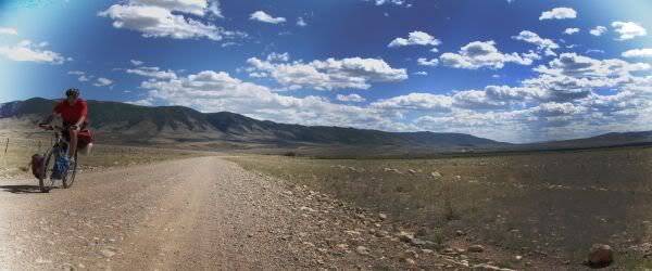
Approaching Centennial, WY. Sheep Mountain in the background.
This report is a short on words… I orginally did a decent writeup, then fumbled with Word Press and all was lost…
September 2011, a road trip out to ID to go mountain biking… Checking the map, this area in WY looked like a good place for an overnighter to break up the drive a little bit.
Google Map of planned route. Note: road the route in a counter-clockwise direction. Cut route short at blue connector because of rain.
Left car at one of the trailheads at the S end of Sheep mountain and immediately started the climb up Sheep Mountain.
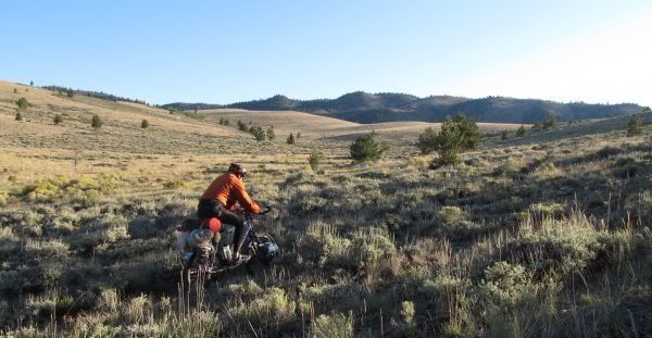
Starting the climb on the S end of Sheep Mountain
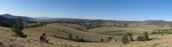
As I recall, the climb to the ridge was all ridable.
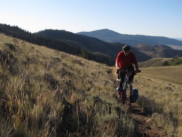
Approaching tree line
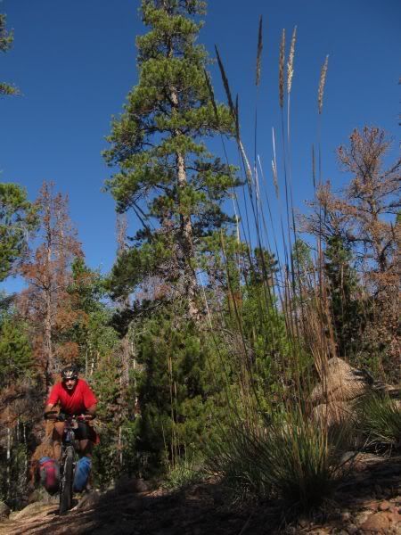
At elevation, the damage done by the Pine beetle was evident and widespread. There are going to some major forest fires in the future.
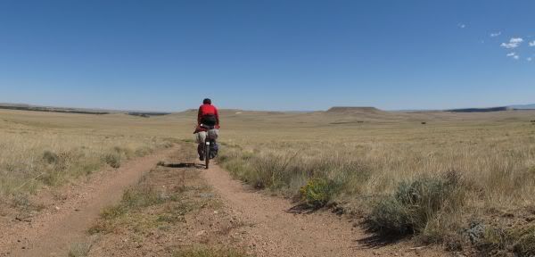
Back in the valley after the N end descent of Sheep Mountain.
Nice Gate
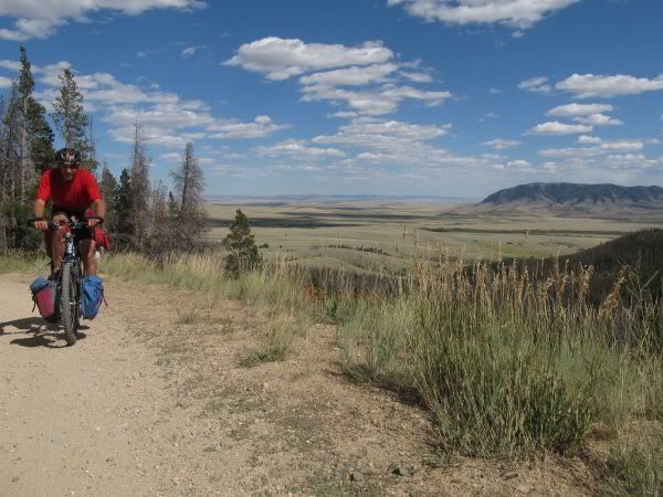
Climbing Ehlin Road
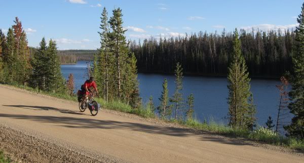
Along Rob Roy Reservoir
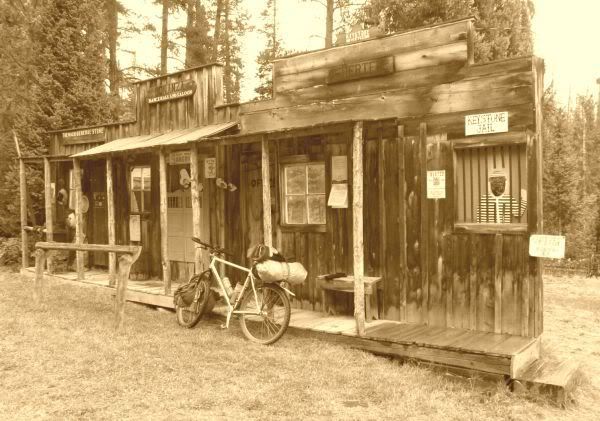
Frontier Fake
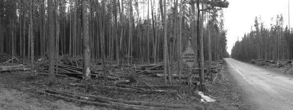
Logging in Process
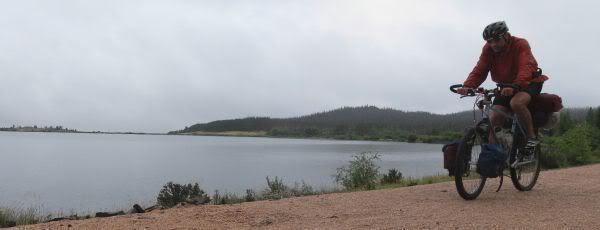
Rail trail along Lake Owen
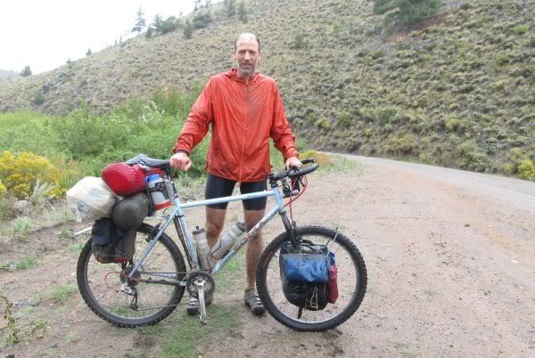
Rain and mud win.
All and all, not a bad ride. Definitely not a destination in itself, but not bad for a short layover.
JHL99
January 2012
Hi … I’m Andy , got the tag Whistle after playing in a diddly band for years and years …
Since the band has now disbanded (Hahaha LOL) I am returning to previous interests and hobbies , principally Photography … Landscape and wildlife … but I hate walking so the bike is an ideal way of getting into areas of interest and as a load carrier when a little stealthy overnighting is required !
I have been browsing Bikepacking site for a while now and have been very impressed by all the MYOG gear …
and I thought I’d like to try …
This is my take on making a handlebar harness / sling …
I needed something completely versatile as I have 3 bikes and use them all at different times …
I have been very impressed with Military Molle webbing systems as a flexible adaptable system and thought that would be a good starting point … I enjoy the simplicity and ease of use of Velcro and thought that would enhance the Molle capabilities too …
One thing other people seem to have trouble with is the harness interfering with their controls and cables and found MYOG gear by JerryW from this site, that used a foam block to space the harness away from the handlebars… My take on that is to use modified saddle bumpers or buffers or whatever you call’em …
on an old Brooks saddle they used to be called springs … You’ll recognise them anyway …
Having problems down loading photos … my first post on this site !
so will leave the url to my Flicker photo share site hope you’ll be able to view them there !
You can see how the molle and velcro works and how the straps and handlebar spacers can be moved accross the molle webbing field … the harness is completly flexible and can be adapted to take small dry bags , exra large dry bags , tents , bedrolls even my Camera bag !!!
More photos of construction and design can be seen with anotation on my Flicker site …
http://www.flickr.com/photos/whistle5/sets/72157629157542345/with/6808917465/
Cheers Whistle
This past weekend I had the itch to get out and camp. Instead of letting the fact that I don’t have a single bikepacking pack, a rack for my Pugsley, or anyone to go with stop me I loaded up my backpack from the PCT and headed to the mountains. My destination was any flat spot along the snowmobile trail to Lost Lake near Snoqualmie Pass, WA. For most of the drive to the trail head I worried the parking lot was going to be more suited for my Pugs then my car. Luckily when I got there it was frozen solid, as I would be soon. It was damn cold!
The trip was more about just getting outside than anything but I did learn a ton. The Crystal Springs Sno-Park area in which I was, has a great network of snowmobile trails. I have a lot more exploring to do. I just have to do it when the sleds are not there in throws.
1. I have a hot ass, as I woke up with a huge dent under it from the snow melting. We’re talking J Lo size people and my ass or lack of one isn’t big.
2. Bring warmer gloves for the am as it can be colder.
3. Hip belts and pedaling don’t mix.
4. Apparently I can sleep through the Groomer, as it passed (40’ away) during the night or early morning and I never heard it.
5. Loose corn like snow sucks to ride in.
6. People smile when they see a fat bike.

- Note the overly large 3 person tent for little old me. I went a little crazy selling stuff on Craigslist this summer.

- My campsite for the night. Hard snow, bright moon, loud squirrels, curious woodpecker and Hugo (my Pugs).

- Though the sun looks warm it was a super cold morning.

- My non-bikingpacking set up. I should have my gas tank and a sling done shorty. After that a frame bag.

- Lost Creek I believe???
This is all the pictures I could manage as I was using my Iphone and my hands were freezing. I couldn’t bare the thought of taking them off again. Next time I’ll remember my actual camera.
I put Sram Gripshift on my Pugs as it was so hard to use the Shimano trigger shifters last time. This was a huge improvement and the bike preformed better too. Remembering the winter boots was key. At least my toes were warm. I’ll post gas tank and sling pictures soon.
Scatman
Get out there!
February 6th, 2012 in
The West Coast (CA,NV,WA,OR),
Trip Reports | tags:
bikepacking,
Crystal Springs sno-park,
Fat bike,
lost lake,
washington,
winter |
2 Comments
I have really appreciated some of the insight and problem solving people have posted here, so I thought I would post my own in case they are of interest. I’ve taken this steel Niner frame through a lot of good times (and some hell) over the past couple years. I thought it was neat to compare the photos of the bike set up for two completely different sorts of adventures.
First photo, on Lucky Segment 13, midway through the Colorado Trail Race in 2010.

Set up with derailleurs and front suspension for the rigors of racing up and down the Rockies. As well, a handlebar bag to carry some of the gear needed for the CT and still have well-balanced handling on singletrack.
Second photo, a couple weeks of gravel/road touring through rural Laos in 2011.
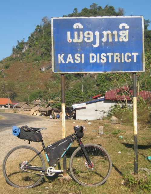
Carbon fork instead of suspension. Singlespeed because I was on vacation, dammit. Early in the year I had sent the frame to Bilenky to be retrofitted with S&S couplers so it can break down small for easy travel. Bilenky also repainted the frame black and turquoise! Sweet! They did incredible work.
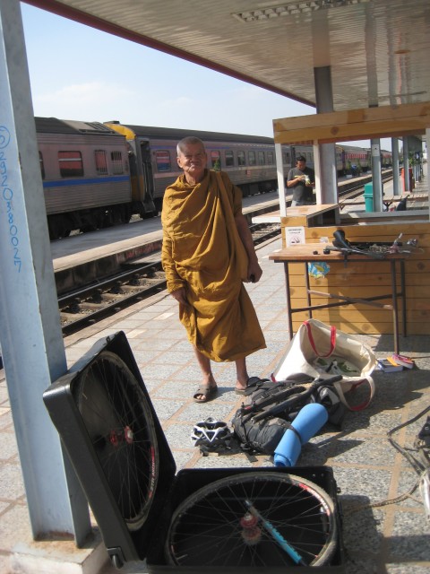
(Above: in response to a query about the breakdown-setup with couplers, I edited the post to add this extra photo. Breaking down my gear into the S&S box and carry-on totebag at the Nong Khai, Thailand train station. It takes about half an hour to get it apart and packed well, about 45 minutes to get it built up. Notice all the bike parts sitting on the small table. Yes, this monk watched me do the breakdown from about that far away for the duration. I was definitely the most entertaining thing in the train station that day.)
I absolutely love the Niner Sir9 frame for bikepacking as well as for all-around singletrack and gravel riding. Affordable, durable, pretty light, handles well– and riding a steel bike is so nice.
Packs: Epic/Revelate custom frame pack. Secondhand Carousel seat bag (purchased off the Bikepacking.net gear swap forum!) Two Mountain Feedbags, at least one of which usually has a water bottle in it. The black handlebar bag featured in the first image is from Carousel, but I now vastly prefer my Revelate handlebar system when I need that extra capacity up front. I also rode with a very light and small backpack on both trips.
Bike parts of possible interest: Niner carbon fork or Rock Shox Reba XX. Handbuilt Bike29 wheels (Stans rims/Industry9 hubs) with 2.3 WTB WeirWolf in Colorado, 30c Michelin Jet in Laos. Vintage pink Hope Mono Mini brakes… always!
I first took Homemec in 7th grade and it was there that I learned to sew. I remember I made the race car pillow. It was red and blue. Fast forward 21 years to 2006 and you find me buying my first sewing machine. Since then I have made stuff sacks, bug pants and gloves, a bug tent, tote bags, a tarp, small storage sacks and now my first few Gas Tanks for bike packing!
I hope to perfect the Gas Tank then move on to a rear one, then to a bar sleeve, and finally to a frame bag. If I can manage that I will attempt a seat bag. The first two bags below are made from Cordura and Hydrolite. The two camo bags are made from 2 layer Goretex. I work in the outdoor industry and have access to the extra materials so I use what I have. We’ll see if they how up to the X-pack material most people use.
Gas Tank v1.0

As you can see I made the corners on this one way to sharp. Sewing was a real pain.
Gas Tank V2.0
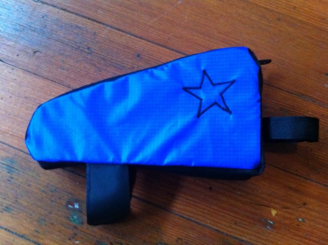
As you can see I rounded my corners and added a bit of flare to this one.
Gas Tank v3.0
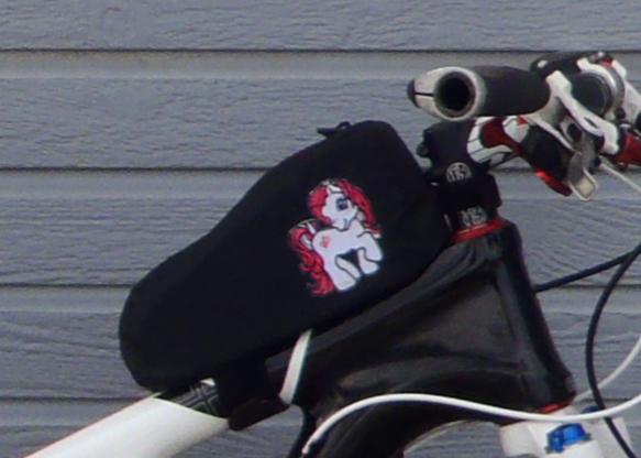
This was made special by request for my good friend Jill. Not just anyone gets a My Little Pony gas tank.
Gas Tank V4.0
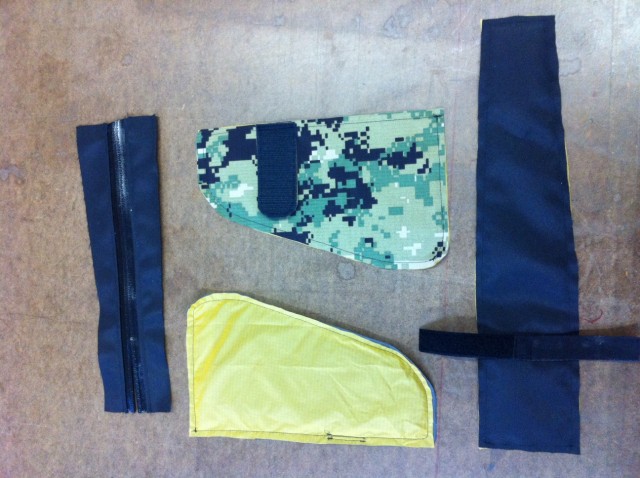
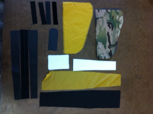
As you can see my last two bags are in production. I have tweaked the shape a bit more and added double foam to these ones. In the picture above you might notice I’m missing one piece, the Velcro for the top tube straps. I have even added a key clip to the design.
For more on Fat Bikes, my adventures, and general cycling you can checkout my site. Helpful suggestions are welcome.
@Scatmanat
Get out there!
Cathedral Valley is a good one nighter on a remote 60 mile dirt road. I did this route clockwise in October. I appreciated some tunes on a few of the flats and wished I brought more than iodine tablets to get clean water from the very organic troughs. In fall the river was bikeable even with touring gear. I’ll list the waypoints for the water sources below because they are only on the west side and are few. The only place to camp legally is at a campground halfway around. Leave the last water source (I recommend going clockwise for this reason) with enough water for dinner, breakfast, and the last part of the ride. So if white rim is booked up, lose the crowds and take this 2 day cruiser with some amazing scenery. There is probably longer options with one of the several turnoffs along the way.
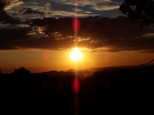
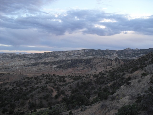
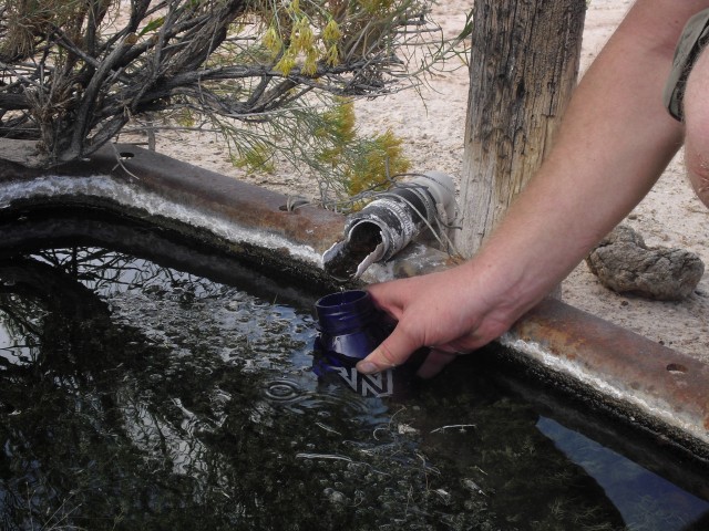
All of the water trough look like this, bring a filter!
Set GPS to Nad 27 datum – UTM
12 s 0489622 e 4243220 – first spring, only needed if you started out low.
12 s 0478990 e 4255147 – this is before the final climb to camp, consider this as last fill up point.
12 s 0469023 e 4258106 – there is a trough here, it was dry in October so use at your own risk.
The swell has many possible route options on both north and south ends. This trip was a loop on the south side. We intended on biking 100 miles in 3 days while never touching pavement. There were numerous places to check out on foot along the way which cut the biking time to 42 miles. It’s not much for an endurance rider, but the slot canyons were far too interesting to fly by. We spent the entire time on dirt roads because the “unimproved” road as stated by the map were as challenging as single track so we bailed out on the 60 miles of ST + 40 of dirt road as planned.
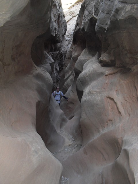
We parked at the temple mtn campground and went west on behind the reef road passing and hiking the many slot canyons. After camping aside a dry wash we headed north as directly to the tan seep well as possible and camped not far from there. The last day was a fast descent back to the jeep.
Most people told us that we wouldn’t find water, but there was a ton for a dessert. It was October and most slot canyons had pools as well as puddles alongside the road periodically, and at the tan seep well. So with a filter, finding water was a only minor issue. I highly recommend the swell for overnighters. The south is better for loops, but you could easily find a route through both parts if you had a shuttle. A week would be easy to fill with sweet riding and few human encounters.

This adult size child packed climbing shoes and a chalk bag instead of a sleeping pad, biking gloves or pump, and a eating utensil. The Swell has something for everyone.
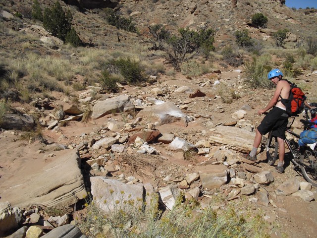
One of the few tough spots
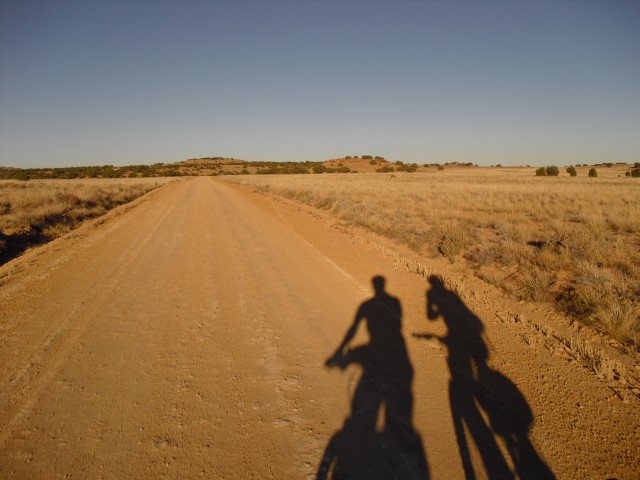
Bromantic isn't it?
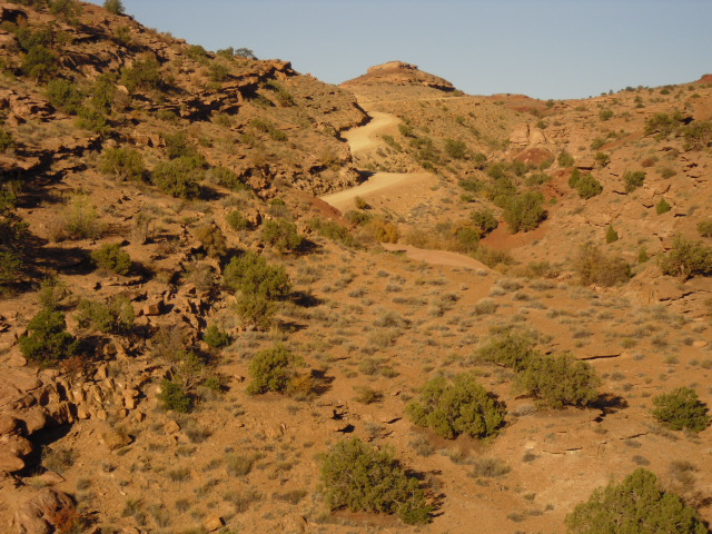
I spent my summer holiday this year in Colorado, and had an unforgettable 6 days riding the Colorado Trail Race. That was followed by an equally incredible, and well deserved, day hanging out in the Durango sunshine, floating down the river on a tube while drinking cold beer.
The CTR is an epic challenge, and redefined my definition of a tough day out biking. There is just so much beautiful country out there, which at times gave an incredible feeling of isolation. I just love these journeys, and the people I get to share them with and meet on the way. My experiences on the trail have a big impact on me, and I like to write about them and my thoughts during the trip, so I can remember them in years to come.
This is my story- A British CTR . I hope you enjoy. Thanks.
Steve Wilkinson
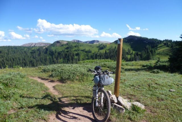
Standard picture of bike leaninng against Colorado Trail marker
# Ians C2C Pictures Gallery # # My C2C picture gallery # clicky any pic below for higher res copy.
An adventure from the North to South coast of Wales.
Exploring by bike the huge lump of rock that is the Great Orme, enjoying the heat and sun drenched views of Llanduddno and the North Wales coast , summer days are great. But this is the last week in September, it’s 25 deg C, and my bike is loaded up for a 2 week self supported trip; I can’t quite believe the luck of not being able to fit in a holiday untill this time of year.
The Orme is a fun spot to play on a day like this, and an ideal test to bash the bike and kit around. Nothing fell off and it was proof that I had to change my plans slightly as shades were essential to prevent low sun induced headaches, extra packing of lenses and fluids, I can live with that choice.

The Pegasus was loaded up pretty light, sleeping bag, silk liner, bivy bag, Neoair mat and tent flysheet in the Alpkit 8 litre bag on a Widcatgear bar harness. In the Wildcatgear frame bag; Flysheet poles/pegs. small gas cooker/cylinder, Ti mug and spork and tea bags. Bike spares, pump and tools, spare batteries stash and tons of food. The Revelate designs seat bag had a sachet of emergency dried food, waterproof and clothes. If this was just a weeks trip I’d have stripped that down further, but I did have some provisions of spare clothes for a planned more relaxed second week.
An uber light KIM rucksack was essential to carry a camelback, and held toiletries, and GPS charger, Filter tap bottle and also came in handy for late eve bulky food supplies.

This adventure was arranged on the brilliant UK forum for bikepacking fans BearbonesBikepacking It’s a risk living out of the pockets of complete strangers for several days, but as always the people who contemplate these things are generally great easy going friendly people.
Day 1 :: 28 September 2011 :: Great Orme to Coed-y-Brenin
85km, 2200m ascent
A huge breakfast at the Links hotel (recommended) in Llandudno set me up, and after meeting with Mark and depositing my van we were off to Colwyn Bay station to meet Ian. Introductions made we then set off along the bay promenade in the heat, marvelling at our luck . Meeting Kev at the toll road onto the Orme made up our gang of four, we now had the effort of the climb round the rock just to get to the start point of our trip, the café on the Head.

It was immediately apparent that all of the other 3 had less bulk on their bikes, Ian was running scary light which even allowed him to forego a backpack, good skills. It was also clear that Kev was as fit as, as him and Ian on his singlespeed Pegasus powered up the early hills.
A second breakfast at the halfway cafe, some starting photos, and introductions completed. It was now past midday on day 1 and we’re about 265 miles from our Worm’s Head destination at this point.
Down the coast to Conway we had our first introduction to sand, a very soft section meant we had to walk, but it only lasted about 5 minutes before we were back en route to rounding Conway castle.

The hills beckoned though and we made good progress through Gwydyr Forest skirting the Marin trial with amazing views of the Snowdonia hills. Fantastic dry open tracks all the way untill a final mile drop into Dolwyddelan, when we were splattered in run off water. At the Spar here our muddy demeanour didn’t fit the brilliance of the riding as we drank them dry of chocolate milk. Next was a long off road climb over to Blannau Ffestiniog, we had plenty of time to enjoy the views and cool off as Mark started to feel the pace, this was no tourist trip.

I was also introduced to the art of grabbing water on the way, being a Townie I watched with interest as Ian and Kev selected waterfalls to fill up from. The cool water was going down fast in this heat and you cannot rely on public supplies in the remote areas we are going through.


- Super Sunset
From llan Ffestinog I was in familiar territory having ridden this section of old roman quarries in the other direction C2C. By the time we descended into the sunset over Trawsfynydd we needed a big meal.
The pub there wasn’t serving food, the initial despair quickly removed when I remembered the pub (the Rhiw Goch Inn) at the ski village 3 mile further on. Our first spell of riding in the dark surprised me but the pub doing a two for one deal made it worth while. Mine host offered us the use of the grass outside which called for another Guinness to celebrate. We unrolled our sleeping mats and bivvy bags on lovely flat grass amongst some small pines, an amazing display of stars sent us to sleep aided by tired legs and booze.

- Hunkering down after day 1

- Day 1 route
Day 1 I’d actually ridden 61 Miles including the start loop and been in the saddle only 6hrs:20
Day 2 :: 29 September 2011 :: Coed-y-Brenin to Nant-yr-Arian
110km, 3085m ascent
Up with the dawn and no dew what so ever is just plain bonkers, much welcome though. We swiftly pack up and grab mouthfuls of snack bars, and were on the trails by 7:15 into Coedy.
Once into the forest, our route joined some of the MBR trail, which we eagerly dropped onto, using a brand new section of BMX style track I’d never seen before to drop to the river. This was the first real test of throwing the bike around fully loaded and it was handling it well. Riding round here at 8am before breakfast was a bonus but it wasn’t long before we were in Dolgellau in need of food. The Roberts café was an Oasis, we’d been on the road for an hour and were already hot, it provided perfect service to set us up for the morning.


It was much needed as what followed was a big climb over the shoulder of Cader Idris and towards Tywyn. I’d done the more direct route to Mach before so didn’t mind the fact we were drifting West off course so to speak. The trails were pretty good, but real steep at times. On Singlespeed Ian pushed here and there. I ground out my 1×9 while Kevin rode all the climbs, and was showing great power, but as he kept reminding us it was because we had stupid gears!. This frequently split the group so we were riding alone at times, and it was clear we couldn’t convince Mark we didn’t mind waiting. How could we the views over Barmouth Bay were superb.

- Barmouth Bay


- You never saw us
The long descent to the coast at Tywyn was particularly good, it was here the feeling of the whole freedom of our trip really hit me as we enjoyed the stunning views, dry fast tracks and umm the railway bridge excursions…..wasn’t us gov.
I suggested ice cream they didn’t need much convincing, it was also time for Mark to leave us. He’d decided he would rather go on alone to Mach leaving his options open about where he got his train back North. Little did I know this would be a turning point for me too.

We dropped down onto a near deserted beach and rode for over 3 miles. The sand was firm if a bit wet as we crossed some sections, the feeling was such a buzz and I loved looking back at the tracks we left in our wake.

Off the sand the climb immediately back into the hills was brutal. Over 20% for a long section, I was pleased I could grind up there on the middle ring, it was real pedalling in squares climbing and no back twinges, it was insanely hot though. Good tracks with nice views of the other side of Cader as we found our way fast dropping down to Machynlleth.
In Mach, we plonked ourselves outside the HoleyTrail bike shop and worked out our plan. It would have been great to find a café for food, but at 5pm the light would fade soon and getting out of Mach is one tough ride. Spa it was then, a pavement scoff and stuffing some loves and fishes in my food sack for later. I was now fully aware of the task we’d undertaken, Ian had a target camp options around Nant-y-Moch, but we considered the possibility of aiming for Nant Syddion bothy. they knew the area well and it was clear we would have to ride hard to make it.


- long Long climb from Mach
Many riders who never explore further than the Clymax trail don’t know how the land rises to the South of Mach, there’s some ripper descents, not the way we were going though. A long hot drag, sometimes very boggy and technical drained us further. Wales has a soft centre, the land round Mach is never dry. The map says 6 miles up for 650 mtr of climbing, and the sunset view over Angler’s Retreat was worth every grunt, not that my camera showed it fully. The strange Hot foot syndrome I’d suffered before had returned; pushing big gears for long periods on a small egg beater platform seemed to be the cause.


- My sleeping bag, Bike and footprints
It got dark and out came the lights, sleeves were only really needed as bug protection, still so mild. It was good terrain to ride at night especially as we were all tired. Solid lumpy rock and deep wet sections showed up well in the Diablo on low settting and we rode together well. On a long fireroad it was clear we were stretching our limits, we passed up the chance to play on Nant-yr-Arian trails and we had no water. Stopping now would be safer and after some slight worries we struck gold by finding a trickle of water, and a wooden resting hut on the trail.
Plenty of wet footprints there. The Hut was very welcome; we had light and could spread out and scoff our respective feasts whilst being sociable. Brewing up and dining on a loaf of Hovis with pilchards and fruit sorted me out. The bikes were looking battered from the Mach clag but all three were still running sweet again with a spot of oil.

- Day 2 route
Day 2 My stats were 59 miles 6hr17 ride time, almost a third more climbing had taken its toll. Today had shown me that we weren’t quite the free spirits I’d imagined. We had a set of targets that as a group we had to reach to make this trip possible in 4 days. We were riding from dawn well past dusk and still didn’t make today’s target, and coming up was the most isolated terrain of all.
Day 3 :: 30 September 2011 :: Nant-yr-Arian to Glasfynydd Forest (Usk Reservoir)
120km, 3900m ascent
The hut meant for another fast pack up and off at dawn again, then an easy road ride down to Ponterwyd lead to a refuelling stop at the Petrol station. This will go on the map as a superb early doors stop. Hot drinks, plenty of food, toilet and water stop filled all our needs before a long stretch of wilderness. (I did also note that the pub was just as easy to reach last night)
We headed out into the hills and past Nant Syddion bothy, more like a large house it’s not as remote as I expected. Past The Arch, a strange structure that seemed to serve no purpose except it was our half way journey mark.

- IsolatedThe tracks here are rough grass and bog and truly remote, no great speed involved but it could have been so much worse as again it was a superb day. We then hit more familiar territory for me, Strata Florida, where I’d previously spent the night on a TransWales race.
Strata Florida is a ruined abbey and doesn’t have many amenities, but the sign outside the Cadw hut said “Te a Choffi ar gael”, and in reality it should have said “last Tea for 4 hours”
The coffee was only one of those plastic quikie insert machines, but it was good and they sold 80% cocoa chocolate bars which I had to have for urgent recovery work later.
The next climb – Tywi Forest. This was a big one: 3 miles long, and hot. We split up again Kev took the lead with Ian holding his 32-19 gearing at a pace he could handle. I brought up the rear at my own pace, its not often I’m the tail-ender and I had to summon up mental strength not to chase back on. Twyi Forest is big. The fireroads go on forever, eventually we popped out at Soar-y-mynydd, the most isolated chapel in Wales. I knew where I was again the excellent Doethie Valley beckoned.

The descent in is steep very fast and swoopy, you then ride a technical at times magic valley trail. Pulling up over the rock steps and wrestling the singletrack made me realise the toll the ride was taking. You pay for the fun with an evil climb out of the bottom of the valley that was done in the full sun in the middle of the day and felt like the height of summer. I was determined to make it, and thanks Ian for walking the rest was needed.

Llyn Brianne reservoir is a great sight but I’d forgotten the long climb into Ystrad Ffin/ Cwm Henog. The descent from the forest here is as scary as you’ll get at speed, narrow and steep with rough rock sections it sure pumped the arms up. Again I forgot the fact the bike was loaded at all, this really is the way to travel. A stream crossing near Dinas Mill on the way to Llanwrtyd usually means a comedy dismount as riders try and get across a rickety makeshift bridge. Did we care, we hadn’t washed in 3 days, had walked through bogs and were covered in sweat it was Wash time! Has a cold stream in Wales on the eve of October ever felt so good, my feet loved me again the main point of hurt.

Llanwrtyd Wells. It had been a long day already, I needed real food and a sit down, outside a Spa was not going to do this time. We stocked for another bivy feast and survived on chicken nuggets and masses of chips at the Stonecroft for now.
Food always comes before a climb it seems and another lifts us to the Crychan Forest. A maze of forest roads ruined by 4 wheel drives and some huge bogs, it was fun but into the Halfway Forest I was blowing. Taking it my own pace on the ups, I’d been riding hard to catch the guys after almost every climb, usually just as the next one started. These constant intervals were breaking my normal rhythm and as I struggled up a tough Roman road and onto open mooland I was beat and wanted to stop.
Kev and Ian were way ahead in the dark, riding with urgency, Usk reservoir was todays target. I needed wheels to follow and realised I had to keep going or they would not know where I was. I figured then I had to ride solo tomorrow or risk losing the enjoyment of this ride, I needed control of my pace. Regrouping I was ready to stop behind a wall and make camp, Ian convinced me of the short distance left. The promise of a great sunrise snapped me out of it and mental power returned.
A good spot right by the shore, food, choc milk shake, several brews and lying there enjoying the gentle lapping water and fantastic light show of a sky full of stars, aided recovery, but I had made my choice. Looking back the lack of photos this afternoon tells a story in itself, we had started racing the clock.
Todays 71 miles 8hr47 ride time hurt, the 9386ft of climbing more so.

- Day 3 route

- Edge of usk Bivy for the night
Day 4 :: 01 October 2011 :: Glasfynydd Forest to Worm’s Head
113km, 2083m ascent.

- Usk Sunrise, it certainly was worth it
He wasn’t wrong, it was stunning. I slept in a head net last night just incase of winged teeth, but again there was no dew, no wind and wall to wall sun, this was a dream. In the photo the guys are locked and loaded and I have no regrets at watching them go as it’s still dark. I sit and eat breakfast, with a morning brew and take my time, there was another hard 100K plus day ahead I needed to ease into it. This was how I liked to get up; I’d missed it, the rush had taken us over. More time for a natural break then I guess I left about 25 minutes after the guys.
First stop was water, the route over the Brecons is barren and Bovine strewn, and I didn’t trust the low source here so I filled my water tap (filter bottle) and last nights milkshake bottle just in case, to keep it out of the camelback. Getting into navigation groove was slow and stopping to remove a top I enjoyed a relaxed chat with a farmer out walking. He’d seen two other bikers ride past his house as he ate breakfast, I should have asked him for water I never thought.
Soon I was climbing a long solid red dirt track over an area called Fforest Fawr. it’s on the Brecon Beast MTB event apparently, up to the highest point of the trip at 670m.

In my own world, I stopped a few times for photos and more relaxed eating. On the rough descents I let rip, this was my territory and I loved it. I kept seeing Ian’s tyre tracks in puddles which was reasuring in my isolation. After a while I passed onto the Sarn Helen I knew this track from previous rides it’s rough and worn and takes plenty of effort and concentration to keep progress going. Being solo I was focused and enjoying it untill I made a bad choice and ended up in a bog over my knees rather than going through an illegal looking farm gate.
Sat in the sun at the crossroads of the A4109 with my bog feet, I flashed back 5 years to 4 lads hiding from the lashing rain fixing a puncture in the bush shelter opposite. C2C 2006 LINK
The next section of Sarn Helen is super rough and slow going, I wanted a good meal to set me up and a “café next turn” sign gave me false hope, there was nothing there in this small holding. I then saw some bikes ahead, surely not, it was Kev and Ian. the only way they could be there I thought was if they’d found food. I was afraid of missing the cafe they’d found, I shouted madly at them hoping they would stop on the climb and tell me where it was. No such luck though, they explained, I could not explain how I’d caught them then but I was still intent to ride at my pace so we yo-yo’ed in and out of sight for a while.
On a long fast section to Aberdulais we got soaked from the trail,can’t say I’ll be hurrying back to that particular track too soon.
The falls cafe there was a welcome relief, too early to serve real food but great coffee, cream teas and a coke did the trick. Fresh water was bliss after four hours sipping the tepid stuff I’d started with, and I made full use of the sink to wash off the bogs.
Refreshed we continued on cycle path along the Neath Canal and cycleways beside and under the M4 to Swansea Marina, this was a bright new development with fancy bridges and pavement cafes. We dropped down onto the beach to join people enjoying a Saturday in October in the amazing sun, we had already achieved the C2C tag, and it felt great. The past 15 miles had been pretty flat which is quite a shock for Wales.


A stiff climb back up to gain the main ridge along the Gower gave stunning views of Oxwich Bay, I have to admit I thought that was it, and relaxed but we still had the tough task of getting over Hardings Down and around Rhosili Down, it was to take us another hour to see the sea again.

- The final superb coastal track to Worms Head
A tourist packed road down to a massive campsite at Hillend had me worried on how our trip would finish, but then we turned onto the last bit of bridleway. A long gently rising track between Rhosili Down and the beach, it was utter joy, and our target Worm’s Head looked superb in the low sun ahead.

Worm’s Head was heaving but it was a fittingly beautifull spot to finish our epic trip. Past the pubs, we rode down the final gravel track on the outcrop to the end of the cliffs, puffed our chests out and took photos.
So Wales coast to coast take 3 for me, and by far the best in so many ways.

We rode back up to the pubs for food and celebration drinks, Ian got picked up by his wife who checked out her handiwork in use, as she’s the skill behind my WildcatGear kit. Me and Kev had one final Bivy and spent another night under the stars down by the sea over the end of the cliffs, noisy but a fitting trip end.
I the end though not as hard as expected, the Swansea flats helped that but still 70 miles and 8hr07 ride time for me.

- Final day 4 Route
Total Trip Stats from Ian:
42:53 total time – moving time = 31.36 hrs 427 k total

- Final sunrise over the sea on the Gower
On Monday morning we rose to another superb sunrise; early again as we had to get going before the tourists woke up, Kev had a train to catch and I took an easy cruise to the Afan Valley. Plenty of food along the way, including a lovely stop at the Swansea Marina. An 80yr old cyclist gave some great insight into life in Swansea docks and Port Talbot steelworks through the years.
A nice easy 36 miles and time for a huge Sunday lunch and several ciders on the terrace of the Afan Lodge, checking in with the world before I destroyed the bathroom with 5 days of grime.

Despite the 24 deg Sunday bliss the place was deserted and I was the only guest, the next day, Monday, I carried on to Cardiff over the valleys for another 50 miles of great offroad. Still Plenty of time for a chilled second breakfast at the Glyncorig café, before climbing out of the valley though.

After visiting friends in Cardiff I had ideas of riding back North up the Taff Trail, sadly a family death put a traumatic end to these plans. It was an emotionally tough journey back via train, but I was very pleasantly surprised how easy Arriva trains made it, and cheap too.

- Fully loaded Pegasus and local comuter by Train
My Kitlist for this trip if your interested:
Singular Pegasus which didnt miss a beat, oh wait…one spoke got a bit loose!
Tyres: Maxxis Advantage front, Crossmark rear – Stans tubeless.
On the Bars:
Alpkit 8 litre drybag
Rab Neutrino 200 sleeping bag
Terra Nova laser Photon 1 Flysheet only (NEVER USED)
Terra Nova Discovery Light bivi bag
Thermarest NeoAir full length
silk sleeping bag liner
life systems mozzi headnet
USE Diablo light and diffuser
Frame Bag:
Ti V pegs wrapped in tube. (NEVER USED)
Poles for tent outer Terra Nova. Ally and carbon pair (NEVER USED)
Blackburn Mini pump (NEVERUSED)
Lighter
Ti Blaze stove
Life Adventure Ti spoon
Life Adventure Ti Mug 480ml
C100 Gas cannister
Toilet paper and tissue
toothbrush and tube
petzl headtorch
USB portapower + 2x2800mAh batteries
12 lithium AA batteries (6 NOT USED)
USB garmin lead
USB phone lead (NEVERUSED)
Garmin Etrex (NEVERUSED)
2 inner tubes (NEVERUSED)
Bike tools and spares (NEVERUSED)
Purple extreme chain lube 1/2 full
small reel pvc tape (NEVERUSED)
Leatherman Skeletor
Various snack bars and M&M’s
Seatpack:
Baked beanie hat
Endura plumz long sleve top
Endura plumz windproof
Endura shorts liner
Finistiere Antibiatic waterproof (NEVERUSED)
Kimlite body warmer
Sickle cotton trousers
IceBreaker Skin 200 long sleeve Merino
Icebreaker Merino socks long
Dehydrated Chilli – emergency food (NEVERUSED)
Kim backpack
camelbak water filled
phone
water filter bottle
Isris glasses case
Lenses and fluid
Various drybags
November 20th, 2011 in
Europe,
Trip Reports |
9 Comments
Finally got around to uploading the final day… Here is my complete trip report from my first multi-day bikepacking trip. What a great adventure!
http://jessedanielreeves.blogspot.com/
Had the itch to get back out on the bike for another overnighter…got to scratch that itch this weekend. Loaded up the bike and did another nice loop through some more of the Inyo’s.
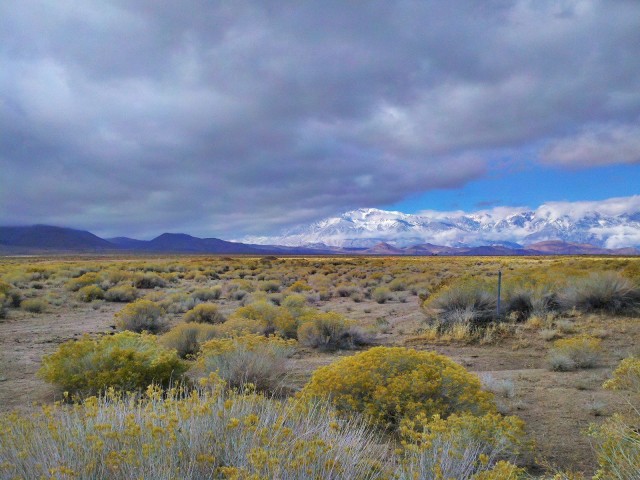
Started off with a nice overcast from the rain the night before. Snow in the higher elevations.
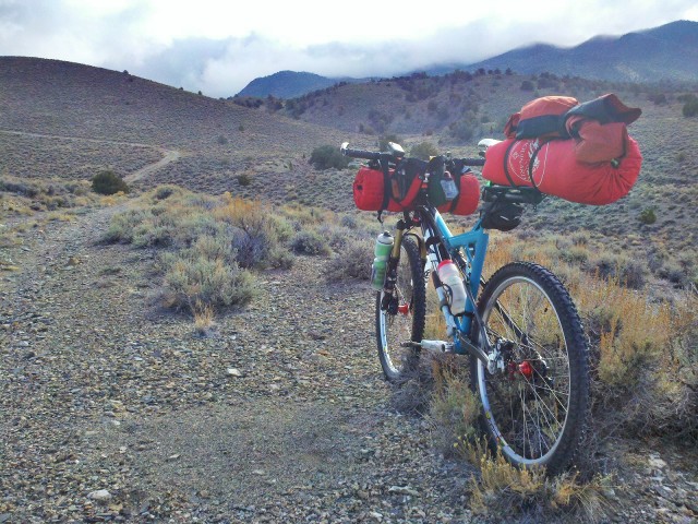
The rain/snow left the ground in perfect condition. During the summer months this stuff is sweltering in the 100’s and the ground is dust. However after a good rain and some nice freezes the whole range comes into season.
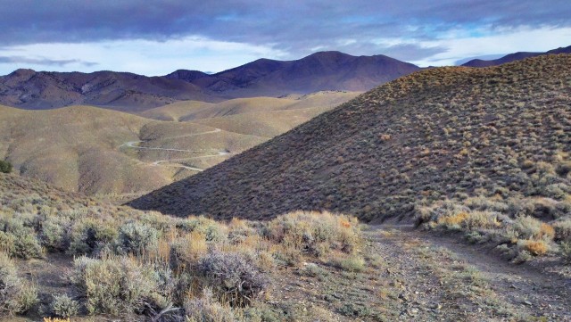
Some of the rolling hills through this subtle yet dramatic landscape.
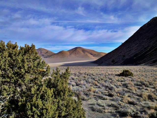
Valley and flats separated by colorful mountain ridges.
Interspersed by the random sampling of old mining equipment. The miners of old were some rugged folk.
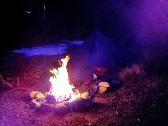
A good day cruising through the desert mountains leads to a sweet campsite complete with fire ring and endless wood to burn. The warm was welcome as the sun set.

The road home. The Sierra Nevada loom overhead. It’s getting closer to breakout the split and hit the snow!! One range for snowboarding and another for bikepacking…oh the curse of the mountains…
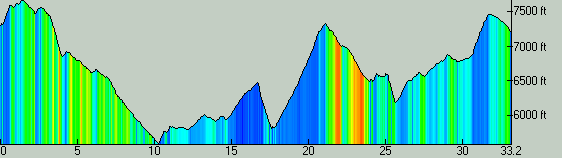
Profile of the overnight adventure. Camp was set at the peak past the 20 mile mark.
Overall, a good trip. Made a few minor adjustments to the set-up and it rode like a dream. Added more pressure to the suspension and mounted the bottle cages on the forks…both very welcome adjustments.
Signing off until the next itch needs to be scratched…
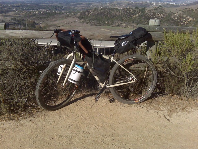 Fargo Set-Up
- Salsa Generation 2 Fargo
- Full Porcelain Rocket kit (handle bar bag, handle bar bag pouch, custom frame bag, seat pack customized to fit Cane Creek Thudbuster, top tube pouch)
- Salsa Anything Cages
- Couple of 5” diameter/8″ tall plastic canisters from the dollar store
On Me
Helmet
Shorts
Shoes
Gloves
Sunglasses
Socks
Lip Balm
Top Tube:
Camera
Food
Headlamp
Phone
Credit cards
Cash
Keys
Handlebar
Light
Cat eye
Handle Bar Bag
Big Agnes Seedhouse 1 Tent
Tent poles
Sleeping pad
Food
Front Fork Canisters
Emergency blanket
Waterproof matches
Lighter
Steripen or Katadyn water filter
Extra socks
Extra shirt
Leg warmers
Arm warmers
Food
Kitchen:
Snowpeak stove
Titanium cup
Lite My Fire Spork
Gigapower (1 of the small ones easily lasts me several days)
Toiletries:
TP
Wet wipes
Small bottle of Bronners Soap
Toothbrush
Small toothpaste
Butt Butter
Small 1st aid kit
Sunscreen
Bug Repellent
Seat bag
Marmot Helium 15 sleeping bag
Down sweater
Long sleeve layer
Marmot Precip
Bungeed to bottom of seat bag
Camp shoes
Frame bag
Top section:
4l MSR Dromedary with hydration kit hose that extends out from a dedicated port in the top of the frame bag
Food
Bottom Section:
Tools:
2-4 CO2 charges
CO2 adapter
Patch kit w/glue
Presta nozzle adapter
Spare tube
Alien II
Leatherman
Chain lube
Tire levers
Lots of zip ties
Small trowel w/duct tape wrapped on handle
Chain cleaner
Spare derailleur hanger
Spare derailleur cable
About 30’ of 5mm accessory cord to rig up various things, e.g. hanging up one of the plastic canisters over a branch with food in bear country.
Various spare nuts and bolts
I’m pretty new to this, but come from a lot of years of rock climbing. A good deal of this gear I had already from back country climbing adventures. My goal was to keep everything on the bike and nothing on my bike. I seem to have achieved this goal. The Porcelain Rocket bags are awesome. Absolutely top-notch quality, design, and production by an awesome guy, Scott, who is eager to communicate with you to insure you receive exactly the best product to fit your needs. The canisters on the front fork happened by accident as I first tried using dry bags, but they seems to sometime snag on the spokes sometimes when the straps loosened in rough terrain. This way I can cinch the straps way down, the canisters are relatively water-resistant, super light, and work as excellent containers for food that needs to be hung up. I’ve tried throwing food in dry bags, but the Sierra Nevadas are full of some persistent critters that will find and chew threw almost anything to get to an almond inside. These canisters seem to prevent that.
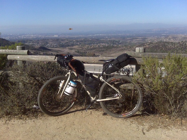
The pics attached actually show the bike with all of the above gear loaded. I’ve had no issues with steep hike-a-bike sections or with tossing the bike over fences. As far as stability, the Porcelain Rocket kit so perfectly hugs the frame and handlebars that the bike rides perfectly smoothly. I often will ride hands free for long stretches over gravel and rocky dirt roads to stretch my bike and have not experienced any sort of shimmy or wobble. The heavy stuff is largely in the middle of the frame with a few small, heavier bits in the canisters.
I know it might seem like a bit of overkill, and I would love some suggestions. Coming from a climbing background, I suppose I’m used to carrying a lot of heavy gear and perhaps need to adopt more of an ultralight ethos with bikepacking. Thus far I have had no problems in the rides I’ve done experimenting with my set-up. Nevertheless, suggestions and comments would be eagerly welcomed. My aim is to be ready for the AZT or CRT this coming year and the Great Divide Tour for 2013.
Thoughts, comments, suggestions?
Hey all… first post so trying to get it right. Also, first overnighter on the mountain bike. A whole new world awaits me…
Loaded up the Yeti and took off into the expansive Inyo Mountains for some remote exploring and some senic vistas. After about 5 grand of climbing I set up camp on the ridge. I figured I’d endure wind to take advantage of the grand views.

The Sierra Nevada just before sunset.

My humble abode for the evening.
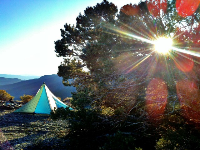
Rise and shine. Cold and windy night gave way to a clear brisk morning.
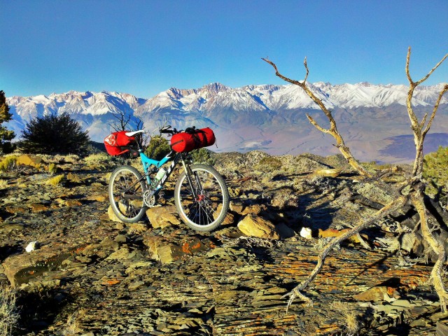
Bike and belly all loaded and ready to roll. Spectacular scene across the valley to the forbidden (for bikes) Sierra Nevada range.
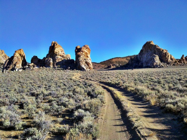
After some rolling hills and such I arrive to cruise through the granite towers of Papoose Flats.

And continue down canyon to begin the long climb out. What goes up must come down and visa-versa. Its all good…I love to climb when I’m not descending.
All-in-all a successful ride. The bags held just fine. The bike was flawless. And the terrain was beautiful. Total of about 30 miles with 4,500+ of climbing and decending all on tacky double track. Here is a profile of the loop:
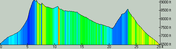
Hope you enjoyed the post and I’ll keep them coming!
Objective: I wanted more practice handling a loaded bike on technical singletrack, so I headed out for an overnighter on the local trails overlooking the Gunnison Gorge (Montrose, CO).
Location: Peach Valley trail system; Montrose , CO. Red Rocks/Nighthorse Trail to Sidewinder Trail.
Experience: A handful of single-pitch rides of those trails.
Gear: This kit minus the bivy, fleece and backup gloves.
Trip Report ( = excuse for pictures)
I graded the last math page, filled six liters of water, drove to the Eagle Trailhead, threw everything on the bike and started cranking at 5:00.
I hiked the parts that I would normally hike …
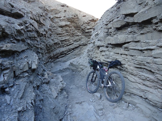
… then hiked the parts I would normally ride (on a good day) …

… then hiked the parts that keep me from getting suspension, because if I weren’t riding rigid, I would have no excuse to hike them.
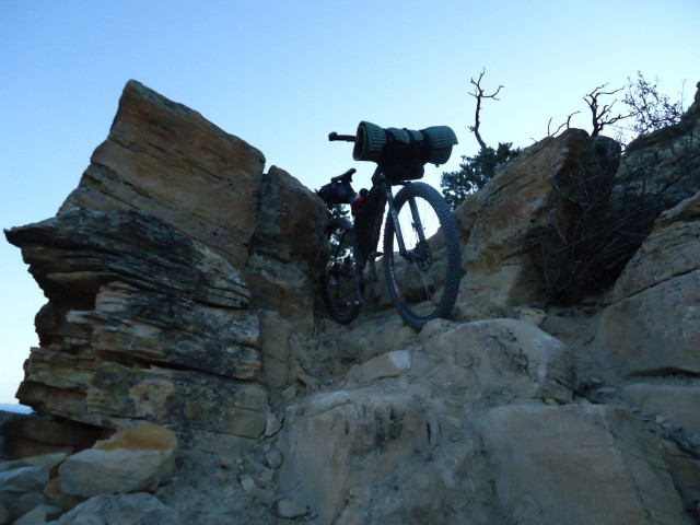
Despite the hike-a-bike, which was brief and entertaining, I got some quality riding in, and made about 12 miles in the two hours of daylight.
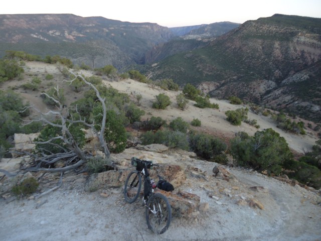
Then out came the headlamp for two hours of night riding / hiking.

I always underestimate how tired I am after teaching fifth grade for a week. So, four hours in and several miles from my Gunnison River objective, I threw out the quilt, pounded a cold mashed potato burrito (a Skurka specialty), and fell asleep counting the moon.
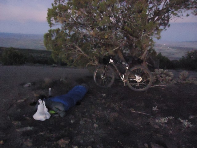
Unlike last weekend on the Tab, I had an appropriate sleep system for the temperature. Shoes as a pillow, 2/3 of a short Ridge Rest, the remaining 1/3 as extra padding under my hips, pack under my legs, 20F down quilt, and a dry wool long-sleeve and tights.
The next morning, the Black Canyon treated me to a great sunrise, of only one picture turned out.

Upon starting my 20-mile return on Sidewinder (a fantastic, why-drive-to-Moab type of trail), the following mechanicals occurred:
– Front tire puncture that the sealant didn’t get to in time.
– Discovering that one of my backup tubes had a preexisting puncture.
– Breaking the valve core off said tube ($@$#!!!!), despite treating it ever so delicately because this happens way too freaking much.
– Fifteen minutes later, getting two punctures in the second tube
– Blowing through all four patches because the superglue wouldn’t hold
– Being unable to go tubeless again with my hand pump.
And so I was stranded quite handily, seventeen miles from my car. I hiked down heartbreakingly good singletrack for an hour until I hit a dirt road bailout, which was more of a straight shot to the trailhead. I hid my bike in what little vegetation grows in the adobes, grabbed my remaining water, and took off running for the trailhead. 8.5 miles of running (is for prey) and an hour and a half later, I made it back to the car. One truck offered a ride with two miles to go, but at that point I figured I may as well accept and embrace the punishment, so I kept running. As Calvin’s dad would say, it builds character.
Product placement: Pearl Seek IV shoes for the win.
I was too demoralized to take pictures of the Sidewinder hike-a-bike, but here are some shots of Jeremy (Cleaveland Mountaineering) doing some product testing on the same trail.
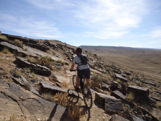
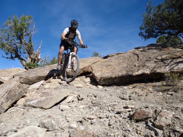
Upon return, I went to the shop and bought two new tubes and a patch kit with real rubber vulcanizing glue. However, the real reason for this bail lies in the lack of an even more important crucial component ….
My lucky T-rex squeaky horn, now slowly decomposing at the bottom of some Fruita dry creekbed.
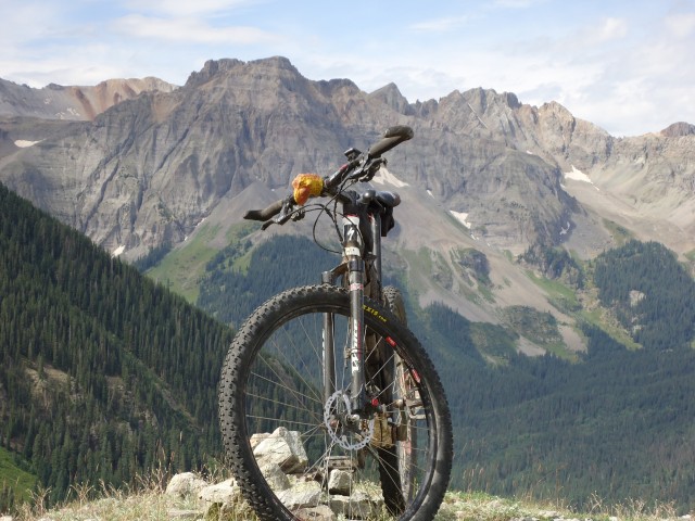
Wilson Creek Trail Summit; Ridgway, CO.
RIP Mara(2).
Summary: Slow trail conditions and external time constraints forced me to abandon my northbound Tabeguache Trail attempt after one night and twenty-one out of 142 miles.
Background: Three overnighters, thru-hiked the CT in twenty-four days, barely sub-12ed the Leadville 100 MTB, lots of recreational hike-a-bike on snow and dirt. I am, as they would call me on MTBR, a n00b.
Gear (abridged): Specialized Stumpjumper 29, White Bros rigid carbon fork, 2×8, Flow rims, Ardent 2.4s // Cleaveland Mountaineering full kit // Osprey Hornet 24 // full list
Cutesy Human-Interest Fluff:
Friday 1830: Spirits are high. I’ve been planning this, my first multiday bikepack, for a month. The Plateau has gotten some snow, but I rode every morning of last winter in Lake City, CO (9,200′), so I’m not too worried. En route to the trailhead, I pound a whole large pepperoni pizza as preemptive offering to the gods of caloric deprivation, and crank Rage against the Machine to get me pumped for carrying a loaded bike at two miles per hour.
1910: As dusk settles in, I do one last doublecheck and start the trail on a moderate dirt road climb.
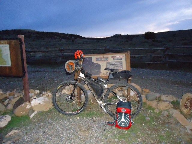
The nearly full moon allows for moonlight climbs and single headlamp descents.
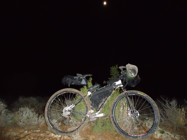
Even with six liters of water (the curse of Coworado), the bike feels fairly normal.
After a couple hours, I start running into traces of snow, previews of coming attractions.
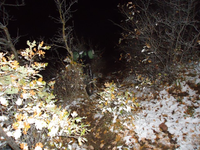
I ran into some mud and intermittent hike-a-bikes, which slowed me down. When I hit Transfer Road, there was an inch of crusty snow on top of somewhat frozen mud with frozen puddles — very choppy, had to stop to free my drivetrain of the gunk every five to ten minutes.
Saturday 0030: Five and half hours after starting, I had only made eighteen miles. I had to bivy up three miles short of my objective for the night. It was a cold night; not as much as where I slept all last winter , but not quite as cozy either.
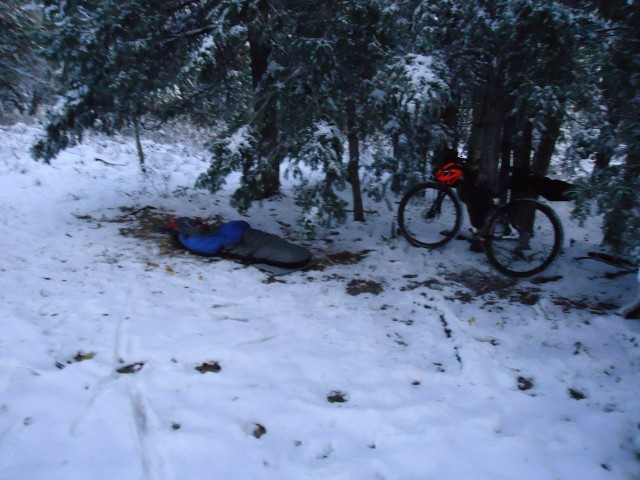
I decided to go stoveless on this trip, so cold oatmeal for breakfast, eaten with an ingenious multipurpose gear solution (thanks, Jeremy)
Fall is in the air, but winter is on the ground.
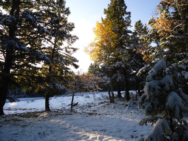
Saturday 0800: I hopped back on Transfer Rd for two miles of fun but slow snowbiking, mashing the granny gear on the flats at 3mph. The snow was sticky, and frozen ruts and puddles underneath prevented any sort of rhythm. But hey, it was ridable!

(that was a good section)
0900: Made it to the start of Section 3 (Pool Creek singletrack). Three miles in the last hour. The snow was continuing to deepen. At this point, 21 miles in 6.5 riding hours, I realized that I wouldn’t make it to Junction in time to get back to my fifth graders, even with the long Columbus Day weekend. It was a tough decision, but I knew I had to bail. Also, I didn’t feel like hiking the next 27 miles of snowed-in singletrack in my Pearl Seek IVs, even with VBL socks (I obviously hadn’t planned on this much consistent snowcover). And so I pulled the plug.
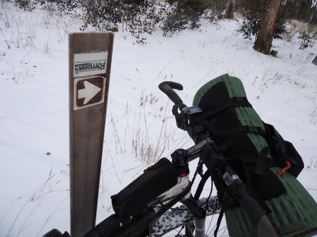
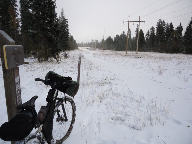
As if to confirm my decision, as soon as I decided to bail, I realized that I couldn’t feel my right foot, and that I was shivering. I pushed fifty yards to the nearest patch of dirt — right in the middle of Divide Road — and hopped into my quilt and bivy and spent the next twenty minutes eating and recovering body temperature. It’s strange, because I was totally fine on the powerline road, then as soon as I hopped off, the cold
During that time, a guy drove by in a truck and said that everything further up was snowed in even more. Yeah, it was a good time to bail. I threw on every layer that I had and descended Divide Road.
1200: After dropping several thousand feet and all of those layers, I made it back to my car and promptly ate everything I’d packed on the drive home.
Epilogue: It has been well said that endurance activities such as bikepacking require no skill, only a selective memory. On that note, I would try the Tab again this season, albeit with insulated boots, luscious CM pogies, an 800-fill hooded down jacket, a second pad and other winter frivolities. My analysis is that my bail was due to several factors: 1) slow trail conditions, 2) having a job, 3) underestimation of snow levels, and most importantly, most condemning of all:
4) Lack of lucky T-Rex squeaky horn mounted on handlebars, to whom this silly enterprise is retroactively dedicated.

RIP Mara.
October 8th, 2011 in
Trip Reports |
12 Comments
Post-bail analysis in italics.
– Specialized Stumpjumper 29er frame, White Bros rigid fork, 2×8, Flow rims, Ardent 2.4’s, Ergon grips w/ jr. bar ends, Candy petals, plastic bottle cage ziptied at toptube/seatpost
– Cleaveland Mountaineering bikepacking kit (frame, seatpost, handlebar bags, gas tank. Disclaimer: I know Jeremy personally and am heavily biased towards his custom bikepacking gear.
– Osprey Hornet 24 pack. Perfect size for multiday, carries 5L of water well, good pillow. No convenient packstrap pockets like Nathan packs, though.
– Clothing worn:
. Pearl Izumi Seek IV hike-a-bike shoes. Great for anything but winter conditions.
. Darn Tough merino hiker socks
. Orange short sleeve jersey
. Bike shorts
. Pearl Cyclone gloves
. Solar Shield grandpa goggles
. Helmet covered with blaze orange duct tape. Didn’t get shot!
– Clothing carried:
. MHW 100wt fleece. Light but bulky. Poofy vest next time
. OR fleece balaclava
. Montane Litespeed windshirt
. Fleece backup gloves. Invaluable.
Sleep System:
. Golite 20F down bag
. TiGoat Ptarmigan bivy
. Ridge Rest short, 2/3rds in handlebar harness, 1/3 in pack. Needed double coverage on frozen ground and snow.
. Fatigue, lots of it
Cooking and Water Storage
. 2 Hydrapak 2L reservoirs (one tube w/ quick release)
. 1 Platy 1L soft bottles
. 1 Nalgene (for scooping cow coffee)
. One .5L bike bottle, cage ziptied above toptube. Great mount, didn’t interfere with saddle nose hike a bike carry
. .5oz betadine
. Bandana for filtering cow coffee
. Tire levers as spoon. Worked well. I’d do it again.
Gear
. Two tubes, repair kit
. BD Spot headlamp (ghetto knuckle light) Didn’t use.
. Princeton Tec Fuel (helmet) Great.
. Gerber Crucial multitool
. Two topos, route cues, compass Rubber-banded laminated cue sheet to handlebar harness.
. Small med kit
. Sony Cybershot camera
Labor Day weekend I finally got a chance to test out my new frame on an overnighter into the George Washington Forrest in VA. No crazy mileage here as this was a newish setup, but I thought I’d share.
Voodoo Wanga (25.6lbs without bags)
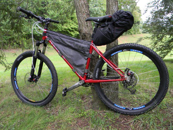
I made the frame bag myself. The seatbag is an Revelate Designs. Not pictured is my tent roll that I strap to the bars. I found this cool Sierra Designs “Taquito” which organizes your tent pieces and rolls up. It’s great because it’s sturdy, has straps built in and costs 16 bucks.
Here is my gear that I brought:
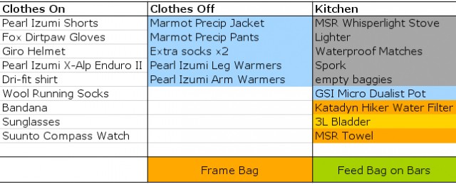
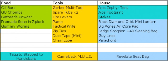
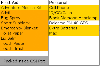
The trip was in the George Washington Forrest in southwestern Virginia. Total mileage around 40 miles starting at 734 feet in the valley and ending around 4100 feet at Meadow Knob to camp. There are drinkable springs and a few primitive sites along the way. But camping on a mountain top meadow is pretty okay with me. Here are a few trip picks.
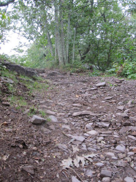
Some rocky climbs!
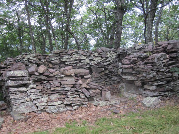
Old structures along the way. One of the things I love about the VA back-country!
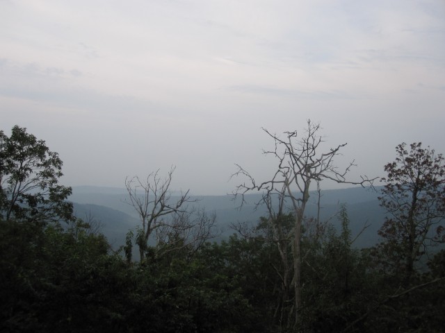
At the top of the first peak. Now on to ride the ridges for about 10 miles 🙂
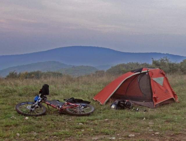
Camp set – Sunset
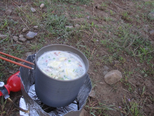
Egg noodles veggies and bacon!!! Courtesy of my buddy Neal. Quite the camp chef.


Sunrise. My buddy’s still asleep back there, but someone has to get the bags out of the trees to get breakfast 😉
All in all, perfect. Weather in the low 70’s. Great biking. The only weird part (and I wish I’d thought to take a picture of this!) was being awoken at 1:30a.m. to a tapping on my tent wall accompanied by a strange voice saying “aye, ya in thur.” A bit nervous, I grabbed a knife and a lantern and answered “yes.” I Exited my tent to find to young guys in wife beaters who were off-roading nearby and had gotten lost. They saw the fire and made there way over to ask for directions…Whew. For a second I thought I heard banjo’s in the woods 🙂
This was my first time bikepacking and I had absolutely no problems with this setup. Very comfortable… I’m glad I did my homework on bikepacking.net. I know I could have went a little lighter, but I decided to go a little more comfortable. Plus, the weight didn’t seem to affect my balance at all. I had to go with a rack on the seat post because a seat bag would’ve rubbed against the tire when the suspension compressed. The seat rack worked flawlessly as it didn’t move once during my trip , even after aggressive jumps/bumps, and it’s a quick release! Can’t wait to go on another trip.
Bike: 2010 Gary Fisher HiFi Deluxe (17.5/M) 28 lbs
Handler Bar:
- Big Agnes Fly Creek UL2 tent (1.8 lbs without poles)
Frame Bag: I made it! (4.5 lbs loaded)
- Food (Mountain house meals 2 breakfast/3 lunch or dinner)
- Tools (Crank Brothers multi-tool, Leatherman, Extra tube, chain links, patch/plug kit)
Backpack: Gregory Miwok 22
Loaded weight 19lbs:
- Jet Boil kit (large JB cup/fuel/burner/stabilizer)
- Beef Jerky
- Katadyn water filter
- Size XS Sea to Summit compression dry bag (containing spare dry clothes)
- Wet Ones wipes
- Titanium Spork
- Goal Zero Nomad 7 solar panel w/guide 10 battery pack
- Big Agnes Cyclone SL camp chair kit
- Gu Roctane (11/Cherry-lime) / Gu Chomps (8/watermelon)
- Princeton Tec light
- Camelbak 100 oz (3L)
- Camelbak Elixer tablets
- Toiletries
- Tent poles for Fly Creek UL2
- Fire starter kit packed into an Elixer tablet tube
- Patagonia rain Jacket
- air pump
- tube
- 4oz Stans sealant
- Pant zipper bottoms for convertible Mountain Hardware shorts/pants
- REI medium backpacking towel
Seat Rack: Topeak MTX Beamrack (REI); Size Small Sea to Summit EVENT dry/compression sack
Loaded weight including rack 6.5 lbs:
- Lafuma Extreme 950 Sleeping bag
- Big Agnes air core insulated pad 72”x20”
- Exped pillow
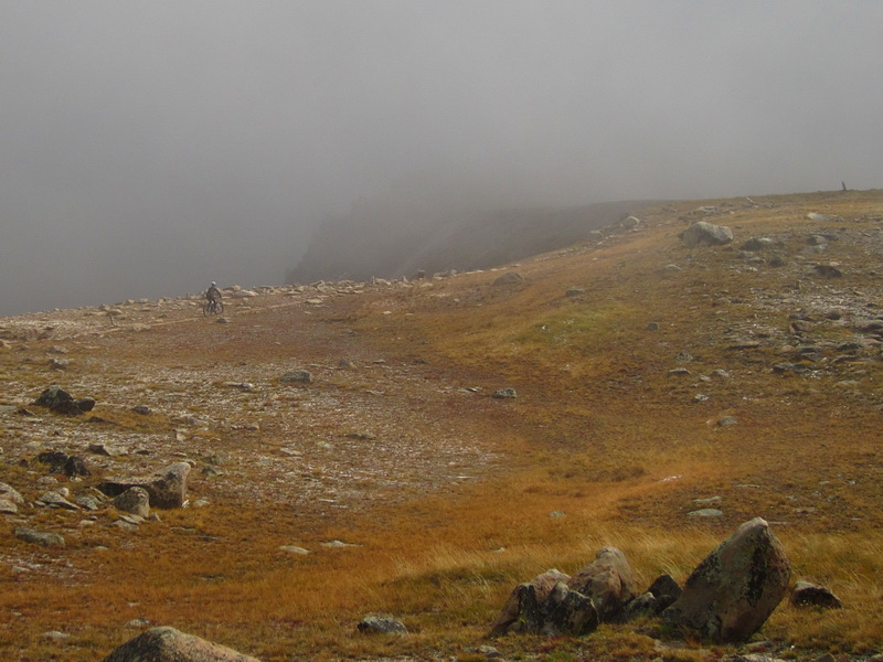
Overview
The Vapor Trail 125 is a high altitude route in central Colorado, featuring some of the most famous trails, such as the Monarch Crest. The route was originally conceived of and used by Absolute Bikes for its annual event held in September. With a good mix of road climbs and singletrack descents, it makes a perfect bikepacking or solo ITT route.
Route Details
The route starts and ends in downtown Salida, where there is plenty of public parking and access to a bike shop (Absolute) and grocery stores. Pavement and dirt roads provide a nice warm up before the action begins on the Colorado Trail at Blanks Cabin. After the singletrack, pass the historic mining and railroad towns of St. Elmo and Hancock before making your way over the Continental Divide at the site of the Alpine Tunnel, which was only open and in use for a short time in the early 20th century. After topping Tomichi Pass (over 12,000′) continue to climb on steep trail to Granite Mountain and the high point of the Vapor Trail. The reward for the steep hike-a-bike is a 9 mile descent of the epic Canyon Creek Trail. Old Monarch Pass provides a nice steady grade to regain the divide, which you then follow for many blissful miles on the Monarch Crest Trail. Here the route gets a little nutty with an internal loop of the Starvation Creek trail. Is the sweet singletrack descent worth the climb back up to Marshall Pass? You decide. Otherwise continue on Silver Creek and the ever flowing Rainbow Trail, the perfect way to end any ride, let alone a 125 mile epic. Easy pavement takes you back to Salida.
Though the route is only 125 miles and can be done in a day, it is not an easy day, and the race starts at 10pm since few can complete it during daylight hours. There are so many beautiful vistas and perfect camp sites that bikepacking the route makes a lot of sense.
GPS Data
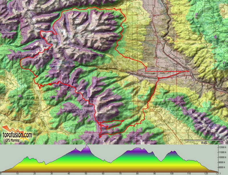
 vapor2011route.gpx
Trip Reports
Vapor Trail Minus by wildersfam
Scott Morris, solo daytime ITT
Links
Official Race site, including detailed maps of the route: http://vaportrail125.com/
Absolute Bikes, creator of the route and event: absolutebikes.com
October 1st, 2011 in
Routes |
No Comments
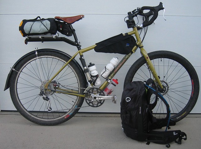
The 2010 TransWisconsin bike packing trip/race. My experience coming into the event was a couple of S24O’s on a different bike, as well as some fully loaded touring with a Surly Long Haul Trucker a few years prior.
The bike itself is a size L Salsa Fargo with XT. The changes I made were swapping the stock post and seat for Thomson setback/Brooks B17 combo, and swapping out the stock Vulpines for Nanoraptors. I also added two more water bottle cages on the fork, but kept the bottles empty unless I thought I’d need a lot of water. Knowing we would be on a lot of gravel, I opted to leave the rear fender on assuming I would be riding in the rain somewhere along the route.
I really had no idea what was needed for an event like this. I knew I could endure a certain level of “going without”, but I wanted to also have all of the pieces/parts with me to be able to successfully finish the event. I knew there would be opportunities to stop for food, but bike shops would be few and far between. I arrived at this configuration after a lot of reading here, MTBR and various TourDivide blogs and reports. Some things worked out good, others not so well. Although I didn’t finish the event, I learned a lot in the process I am incorporating that into a V2 version for another attempt at finishing the route in 2012.
Waterproof stuff sack (4 lb 14.75 oz)
- Hennessy Expedition Asym Hammock
- Hennessy Rainfly
- Lafuma 40F down sleeping bag
- Tyvek ground cloth
Jannd Frame Bag (1 lb 10.25 oz)
- Garmin 605
- External AA battery pack
- Camera
- Starbucks Via packets
- Knife
- Bug spray
- Advil
- Cell Phone
Ergon BC3 Backpack (13 lbs)
Personal Items (22.63 oz)
- First Aid Kit
- Sunscreen (SPF 75)
- Deodorant
- ToothPaste
- Toothbrush
- Flask w The Macallan 18
- Towel
- Soap
Cookset (11.9 oz)
- Cup
- Stove
- Pot
- Fuel
- Spork
- Matches
- Foil Lid
Clothing (4 lbs)
- Rain Pants
- Leg Warmers
- Arm Warmers
- Shorts
- Bibs
- Jersey
- Wool SS tshirt
- Socks (2 pairs)
- Windbreaker
- Oakleys
- Spare Lenses
- Eye Glasses
Misc (12.75 oz)
- Zip Ties
- Stakes
- Dykes
- TP
- Patch Kit
- Tire Lever
- Compass
- Chain Lube
- Backpack rain cover
100 oz Water bladder (4 lbs)
Food (varied)
Ergon BC3 backpack (3 lbs)
Things I will change
- Drop the soap and towel for baby wipes.
- Drop the rainpants and windbreaker for a wind vest and arm warmers.
- Drop the leg warmers
- More wool. Less synthetic.
- Take more food with me on the bike. Having food at all times = freedom.
- Swap the hammock for a bilgy tarptent or a bivy/tarp combo. Ease of setup when tired and it’s dark is paramount. The hammock was a bit too tough to find a hanging spot for. Salvaged Tyvek/housewrap ground cloth was extremely noisy too.
- Frame and seat bags vs rack and backpack. Weight will stay lower and off my back/hips. The BC3 is a nice pack, but I ended up with a lot of stuff in it, and all of that weight ended up on my hips and shoulders. The rack itself weighed at least a pound.
- Adding aerobars for another riding position and a place to hang tent/sleeping bag.
Things I will not change
- Cook kit. Even in Wisconsin, I wasn’t guaranteed that food was going to be close to the route. I ate breakfast every morning before leaving camp. Those few minutes were a good time to write my thoughts down in a notebook and prepare for the day. It was all cooked with a supercat stove. I will drop the pot and just cook in the cop, although heating water for coffee while eating was handy.
Comments and suggestions appreciated.
September 22nd, 2011 in
Personal setups |
12 Comments
My current singlespeed setup involved a bit of a rags to riches story when it comes to my bags. The riches being the handlebar bag and the rags being the homemade coroplast seat bag.
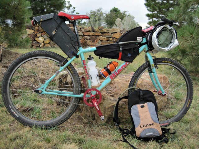
My philosophy in packing my gear is to keep like items together. There may be better ways to distribute the weight, but I like knowing that all of my sleeping gear is in one place. I’m also a fan of MYOG as you will read. It’s fun to come up with a new crazy idea to see if it will work.
I have tried to include as many product links as possible so you don’t have to search around for the products. Hopefully that helps.
Starting with the riches.
Handlebar bag:
My handlebar setup contains my entire sleep system and personal care items. I use a Revelate Designs Sling and Small Pocket with an OR Dry Bag.
The dry bag contains my sleep system:
- Homemade Ray Way quilt
- Goose Feet down booties
- Mont Bell UL short sleeve down jacket
- Homemade Ray Way insulated hat
- Kooka Bay pillow
- ZPacks Hexamid Solo tarp
Wrapped around the dry bag is an Adventure Medical Kits SOL Thermal Bivy with a Kooka Bay sleeping mat inside the bivy. The bivy acts as a ground cloth and doubles as, get this, a bivy sack with my quilt inside if it’s extra cold or rainy. This is an idea that I just came up with and I haven’t had a chance to test it.
Inside the handlebar pocket is my Pale Spruce StayOutThere kit* (first aid, sun care, hygiene products, emergency gear, and knife). The pocket also has room for other gear such as maps or cue sheets.
*Disclaimer – Pale Spruce is my company and I design/sell the kits.
Frame Bags:
The gas tank bag is an Eleven 81 Top Triangle bag that I flipped around for a gas tank. It carries odds and ends such as phone, spare batteries for lights, spare tube, and extra food if needed.
The frame bag is a Jandd Frame bag and its sole purpose is to store food.
Downtube water bottle holder
This is another new idea. I have my Campmor rain pants in a sil-nylon stuff sack and then it is strapped into the cage. I don’t need/use the rain pants very often so they get tucked away here. Eventually, I would like to have a larger frame bag to hold items like this, but I’m making do with what I have right now.
Seatpost Bag
Homemade coroplast seatbag. The idea came from reading about Kent Peterson and all of the coroplast items he has made. The “bag” is painted matte black to make it look a bit more respectable 🙂 I have had this “bag” for several years and it is still holding up quite well.
Rear view showing closure strap.
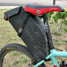
Side view showing attachment to bike
You can’t see it in the photos, but the bag sits on a bracket made for slip on fenders. I designed the bag around the bracket so that it would have a sturdy attachment point.
Contents:
Spare clothing (shorts, socks, base layer)
Arm warmers
Knee warmers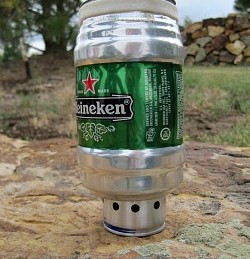
Walz caps wool cap with ear flaps
Toe covers
Long fingered gloves
Eyeglasses
Heiney pot for my morning coffee. The pot is packed with my homemade alcohol stove, coffee, lighter, and alcohol.
Carbon pole for tarp
Emergency space blanket
Small notebook and pen
Hydration pack
100 oz. water bladder
GoLite Rain jacket
Bike repair items (multi tool, patch kit, spare nuts and bolts, spare chain link, second spare tube, small pump)
Plenty of room for more clothing or other items
I think that covers it all. Hopefully this is not too long and detailed.
Andy
September 20th, 2011 in
Personal setups |
10 Comments
This is a route I’ve been thinking about for a most of the summer. I like riding all the normal, flowy, fun trails in the area but sometimes I crave for a bit more of an adventure.
I planned on this ride taking 2 fullish days to do. My goal was to be riding at an early hour on the first day. I was on-call at work the night before and lo and behold I got called in a 3:30 in the morning. I was done and back home about an hour later and thought about just driving down to the trailhead but I knew my gracious shuttle driver wanted to sleep a little more. Totally slept through my alarm and woke at 9:30. Shit. I started my ride on day one at 11:40am. Figured I might as well still go.
The Ride Around Timpanogos (R.A.T.) is a loop described in Gregg Bromka’s guide book. It’s certainly off the beaten track and incorporates a good amount of hike-a-bike, not the easiest ride out there but fun. I rode it a few years ago and had a good time.

A few hours into day one, west side of Timp. Rolling through the grass(trail) I managed to hook up my front wheel and got tossed. Seems like that would be ok in tall grass but my hip found a rock and landed square on it. Ouch. The grass was so thick it took me a while just find what I landed on.

Looking up at the West face of Timp make things better.

Lots of overgrown trail out there
I remember a while ago, Trackhead mentioned something to the effect of doing a R.A.T. and a Ride Around Cascade, the next peak south of Timp, in a day. Sounded hard and cool. Up until recently I hadn’t thought much of it. I found myself looking through Bromka’s book at other rides in the area and saw that there was trail that linked up. There was no info in the biking book about it, just a line that connected a few trails. That was the extent of my research of the trail. Should be good to go right?

Cascade comes into view along with Squaw Peak road on the right. From one vantage point I counted 9 switchbacks on the road. That shouldn’t be too bad.

Looking back at the north end of Cascade and the South end of Timp separated by Provo Canyon. The road sucked, a few miles of pavement in the sun followed by a few more of gravel.

Evening storms to the west over Utah Lake

Y Mountain from the top of Rock Canyon

The mystery trail from the book goes to a pass in the upper left. I expected a lot of hiking and I got that. About 30 minutes into the hike it started raining pretty hard. There was only a little bit of daylight left so the decision to camp for the night was easy.

Cleared out a bit for a blazing sunset

Slept through my alarm again, do we have a theme now? Was on the trail by 7 though, I knew it would be a long day. My goal was to go up and over the ridge, roll back to Provo Canyon, up past Sundance to the 157 trail and take that to Alta/Brighton and then ride the Wasatch Crest trail into SLC and end at my house. Sounded doable, maybe.

About a 2 hour walk up under Freedom Peak to start the day. Cool area, not much was rideable though.

Almost to the pass and its rolling.
On the pass looking at what I have ahead of me. The idea was to reach the peaks at the far right and then keep going.
I reached a fork just before the pass and decided to go right. Both trails ended up at the same spot more or less. Not sure what left would’ve looked like bit this is what right looked like.

That’s the trail. What you can’t really see in the pic are the loose baby heads and logs and shit.

All that road climbing and hike-a-bike culminated in this bushwack of a down hill. There was no trail but there were carsonite sign posts with arrows to follow. I was pretty bummed by how awful the trail was and by how long it was taking me to get down. Dreams of carving down the Crest kept me going.

Eventually it hooked up with a regularly used trail and finished with a nice downhill section and then some road down to water. 4 miles of downhill road never felt so good
A bit of a road/trail climb brought me to some buff American Fork Canyon singletrack. South Fork Deer Creek downhill was ripping, ahhh. Back up to 157 and then another hour of hiking.

Timp looking all spaceship like ready for launch.

My tricked out hike-a-bike shoulder pad

Looking back where from I came, kinda near the snowy patch left of center.
The top of the 157 hike has a nice spring and is followed by some of the best trail in the Wasatch.

I was feeling really good up there, so good I thought I would take a pic of myself.

Looked a lot worse than I felt, ha.

Here we go!

Shred fest for a few miles. So nice
Then I reached the last big hike of the ride. I had never done this section but heard it sucks.

It was pretty much in line with the other hikes I had done already, the problem was the huge false summit right in the middle if it. That hurt. It was taking a while and I was coming to the realization that I wouldn’t be at the Crest by night fall, no big deal.

Wishing my camera was better

Catherine’s Pass. Snowpack eye-opener.
I wasn’t motivated enough to ride the Crest in the dark with lights and I had plans for the next morning so camping was out. And I was pretty much out of food, I know, excuses, excuses. I was feeling really satisfied that I had just completed the hardest day I’ve ever spent on my bicycle and decided I was done. One more fun techy downhill to go. I called my ladyfriend from the pass and asked for a ride. She had shit to do so I rolled down to Brighton and then cruised all the way down the road to the Porcupine for a Burger and Beer then got a ride home. BCC road sucks but it’s an easy way to end a 13 hour day.

Below is a link to some video footage that I shot while racing the CTR this year. Hopefully it will spark memories, or stoke your curiosity. The race was harder than I could have imagined. Yet, with something like 5 weeks having now past, the pain is a distant memory, and I am already plotting my next CTR. Thanks to all the great folks I met out on the trail I hope we cross paths again.
Here is my rig as set up and ridden in the 2010 Kiwi Brevet. (1100 kms in 5 days for me).
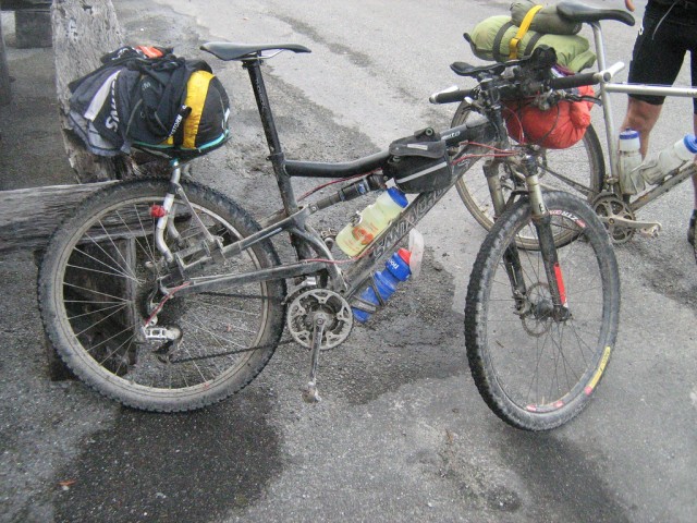
My bike outside the Black Ball Hilton on the Kiwi Brevet.
Its based on my race bike a Santa Cruz Superlight.
Its probably easier to list the changes from the race build to the Brevet build.
I swapped the crank spider out from a compact to an older style so I had 24-34-48 ratios with a 9 speed sram rear. (In hindsight probably overkill). Swapped out the carbon bar for an alloy bar so I could clamp on bar-ends and aero-bars. Swapped rear wheel for a more heavy-weight one.
Added a Freeload bike rack. Everyone else I ended up riding with was also using these. They were part of the initial production run and they were great.
Tires, a captain control on the back and a Raven on the front. I took off any ultra-light bits like alloy crank bolts and I used Time Pedals.
Weight distribution.
Sleeping bag and ayup light batteries stashed in dry bag hanging off front aero bars. (13 litre dry bag).
Tools in a little bag hanging off top-tube.
Camelbak, jacket and food for the road in small back-pack and jersey pockets.
Two waterbottles attached to frame.
All the rest of the gear stashed in dry-bag on rear Freeload Rack. (20 litre dry bag).
What I noticed.
Aero bars were great on some of the road/gravel sections, and a good way to stretch out (yoga -style). With my mutliple hand postions I never suffered ANY soreness or numbness of hands despite losing my gloves on day 2.
More detail.
Nothing can kill you in NZ, except the environment, and motorists, although the sandflies can be unpleasant, so I took insect repellant. My sunscreen got lost on day 3. No worries, my helmet had a peak and I had made a cotton bandana device to keep sun off my neck. I had some water purification tabs but never had to cause to use them.
Tools:
Two tire boots, two tubes, patches, multi-tool, tire levers, c02, oil, pump, spare drop-out. Spoke, disc pads, gear cable. Scalpel blade, duct tape.
Camping gear
1 bivy sack (O/R Micronight Bivy). 1 sleeping bag (North Face Propel). 1 inflatable pad (Thermorest Prolite 3 – sm)
Toiletries
Toilet paper. Sanitizer, antibacterial soap, soap washes.
Clothes
What I wore. Bib shorts, short sleeved top with arm-warmers. Socks.
Spare: Bib shorts, top and socks. Washed shorts each day no matter where I was.
Extra. Poly-pro long sleeved pants, poly-pro long sleeved top. 2XU rain jacket.
Other
Camera Cannon Powershot (small). Sony Ericcson phone 508 and charger (for blogging) . Charger for Ayup lights. Spot-tracker.
More things I noticed
Be careful where you put sharp objects in your dry bag or they might rub through. I put a piece of up sleeping mat on my bike rack to stop it rubbing unduly on the rear dry-bag. It worked well. My BBB chamois cream was rubbish. But I borrowed some Sweet Cheeks Butt Butter which was amazing. My seat was possibly a bit minimalist : )
I really enjoyed the full suspension but now I have a karate monkey 29er I would be keen to try that. Not sure if I will take the risk though as comfort is real important to me. The bikes would end up weighing about the same. I dont think weight is as important an issue as many people do to be honest. To that end I would feel happier with mechanical discs over hydraulic.

About to get very gnarly in the Waiuta. Kiwi Brevet 2010
September 5th, 2011 in
Personal setups |
6 Comments
6:30 am, Waterton Canyon Trailhead
Trucker at the start
The race was preceded by lots of gear gawking and nervous chatter by 7o or so riders. The gear choices and pack combinations came in all sizes and shapes. From panniers to huge backpacks to nearly nothing at all; the whole gamut could be seen. The vibe was friendly and you could tell Colorado has a tight endurance community of racers. There were lots of high fives and hugs going around. Grassroots aside, these were racers. Most wore their team kits.
Not the Trucker (me) though, who was outfitted in his black shorts and thin wool jersey. No logos for the Trucker, he is his own brand.
The race “non-organizer”, Stefan gave a brief talk about the race and reminded riders to be true to the ethic of the race. Pointedly he said not to rely or plan on the trail angel, Apple, who has provided treats along the trail for the past few years. We were to do the course unsupported, no exceptions. The crowd collectively affirmed his statement, akin to an amen at the end of a sermon. All the racers were there to play hard and fair. Each rider was there to appease only one person, themself. Cheating in any form was self-defeating since you can’t run away from yourself.
The Start
The trail almost immediately turns to single track, so the the racers were broken into two groups; those planning to finish in five days or less (the fast group) and the rest. The first group started at 6:40 am and the rest began at 6:42.
The (2nd) start was remarkably un-race-like, and resembled a group-ride with lots of chatting and easy breathing. Within the first mile though racks broke and people crashed all the same. The trail was fairly tame but the crowd kept stopping at technical sections due to a few weak riders. Still no one complained, it was Rocky Mtn. traffic of the best kind. Every rider was probably thinking the same thing though, “If you’re having trouble riding this, what will you do on the hard sections?” Within an hour the group spread itself out sufficiently to prevent anymore traffic jams.
The section was hot and I probably fell behind on hydration. On a big climb my entire upper right leg began cramping. Front, back, top and bottom. I was forced off the bike several times just to stretch my leg out. I ended up lowering my seat by 1cm. and viola, my leg stopped cramping.
50 miles later I was in Bailey. It rained, then stopped. The next section was dirt road and then highway up to Kenosha pass. Pavement, but tough all the same. At the pass a few riders and I rested and agreed about the toughness of the pass. After the pass came more miles of awesome trail. eventually the trail climbed up to 11,000 feet and crossed Georgia pass. It was sunset and it was magnificent. A fellow rider and I raced daylight down the pass and we lost. We turned on our lights and finished the day at the first good spot, which was the North Fork of the Swan River. It was around 10 pm. I quickly cooked a hot meal and crawled into my bivvy. To my amazement, I wasn’t sleepy and I tossed and turned for a full hour before falling asleep.
Day 2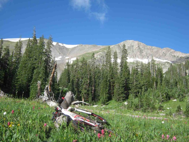
I awoke, made coffee, ate granola and was riding by 4:15 am. I’ve fine tuned my cooking so that it is simultaneous with packing. I manage to have hot coffee and hot cereal without adding more than 10 minutes. As I’m clipping my last clip and strapping my last strap, I’m also taking my final sip of still hot coffee.
The day began with fun single track which quickly led to a closed section of trail. A hand written note from Stefan (how did he do that?) said to follow the posted detour and skip the next 4 miles of trail. Bummer. I wanted to ride the whole CT (sans wilderness) this part looked really fun to boot. As I came to the end of the detour I looked up at the closed area and saw lights. Did I mess up? Did I skip too much trail?What the @##$#!!? I spent the next few minutes agonizing about retracing my tracks. I had been careful about looking for and reading signs, but still I was second guessing myself. The race rules clearly state that you need to return to the spot you left the route before continuing. In the end I decided that I was more likely the get a DQ for riding a closed section than I was for making an honest effort at abiding the law. Furthermore, I thought to myself, “I don’t give a @#$# what anyone else says, I’m riding the CT as fast as I can regardless of asterixes or DQ.” (I later learned that the lights I saw were from riders ahead of me who had gotten to the closed section before Stefan put a note there. They had ignored the closed sign out of the desire to ride all of the CT. In their defense I’ll say this; it was night and no tree felling was occurring. So the reason for closing the trail was not even present. They lucked out in my opinion, although they broke a race rule by breaking the law.)
The morning was filled with sweet trail that led into the notorious 10-mile Range. This section was crazy steep and rocky and long. I climbed and pushed my bike for ages up to 12,400 feet. The top was sunny and nice. Then the trail ripped down to the other side. Super fast and fun with a few steep rocky sections thrown in for good measure. My face began to hurt from grinning. Too soon I reached the bottom and Copper Mountain Resort.
I rested and called the family on my cell phone. Feeling restored I bypassed the resort food and kept plugging for Leadville. I had a double pass to get through before Leadville and as I climbed higher and higher the skies darkened. As I reached Searl Pass I encountered some very aggressive Marmots and then it began to rain lightly. There was no thunder or lightning so I pressed on to Kokomo pass, also at 12,000 feet. The descent in the rain was cold and aggravated the nerves in my hands. Every big bump was like getting tazered in the hands. As I reached the bottom, the sun came back out and my layers came off.
I wanted to reach Leadville badly and kept pushing without rest. I could not do it. At a totally random spot I pulled over and laid out all my gear to dry in the sun as I cooked a hot lunch. Within 20 minutes the clouds were back and I packed up for the final miles to Leadville. I rode through light rain for the next two hours as I rode to Leadville. About 15 miles from Leadville someone had left a box of trail magic. I grabbed a pack of Ho Ho’s without even dismounting and wolfed them down as I rode. As became the norm, the final miles until my stop destination were harder than they looked on paper and I rolled into Leadville around 8pm. The weather forecast was for more rain throughout the night. With that news, I decided to get a room for the night. F.Y.I. the Mountain Peaks Motel is cheap but skanky.
Day 3

Not so easy
The day began early, I was riding again by 4 am or so. I rode the detour in the dark and arrived at the trail head at first light. This was perfect since my lighting was adequate for only dirt/paved roads. Dawn on epic single-track, again. The next miles were surprisingly fast and flowy, with breathtaking and endless descents. I missed a turn or two, eating-up some time but providing scenic opportunities. Along the way I caught two CTR riders and we spun along together. I enjoyed their company but our paces didn’t match up and I soon fell behind them. The segment took a lot longer than expected, maintaining a theme for the week. Things ended with uncharacteristic smooth and buffed trail…downhill! Miles and miles of of it. Along the way my better handlebar light rattled off.
Next came a detour into Buena Vista; the route dropped out of the mountains and provided vast views of the Rockies. The town is aptly named…though the locals call it ’Boona’ Vista (speak Spanish much?). Soon I was in Buena Vista. I arrived in the company of another racer and followed him to the sporting goods store for a resupply. I purchased a huge bag of food stuffs. I thought I was buying more than enough food to get me to Silverton, some 200 trail miles away. I also replaced my lost light for $50.
Next I got a burger, soda, and fries with a togo burrito. And two miles later I was off the bike digesting. When my gut and my legs fight over blood supply…the gut wins. I sat with a million dollar view and watched several riders pass me.
Eventually I got back on trail and (of course) it was amazing, jaw dropping stuff. I went by Princeton Hot Springs and came upon a fresh mudslide which had closed the road (to cars). The slide had happened within the hour. Only one set of tracks were visible scrambling around the mess. It was amazing that such a huge storm had preceded me and I only experienced sunshine. Soon I was back on trail. Things were getting tough at this point and my objective for the day (HWY 50) was looking less and less likely. The trail would swoop and flow nicely and then drop into a deep gully. These gullies were a challenge to simply carry the bike through. As darkness approached I arrived at the “Angel of Shavano” campground. It had a toilet and a shelter, I was sold. Laying in my bag I fell asleep watching the lights of fellow racers weave and bob their way up the nearby ridge.
Day 4
On my bike by 4 am again I rode like I had some sort of palsy. My arms had no finesse, instead I oversteered again and again. I pin balled my way along the trail until highway 50. Here I passed eight or so sleeping racers. The next section of trail was unbelievable. A long wooded climb up Fooses Creek culminated in a crazy steep hike-a-bike up to Marshall Pass…and nirvana. It is a magical place with amazing views in all directions and a serpentine trail weaving along the ridge line. Naturally there was ripping descent with a mix of fast and technical trail.
As I began the next climb I chose to stop and investigate a noise my bike was making. I discovered my break-pads were worn to the nub. No problem I thought, I have extra pads. I pulled off both wheels, dug out the spare pads…and learned that I required a 2.5 mm hex. I had only a 2mm. Doh!
Bags repacked, wheels back on, I pushed on. Even worn to the nub, my brakes worked well enough. As I climbed one the more moderate but still high passes I was hit by a wave of fatigue so powerful it could not be ignored. I stumbed off the trail and spread out my tarp . Laying out my pack as my pillow sat and leaned back into it when CRACK-BOOM thunder exploded nearby. Suddenly I was no longer tired. Within seconds I was back on my bike and pedaling hard!. The thunder continued and it began to rain. I pushed hard through the high pass and soon the clouds were behind me.
I stopped along a high ridge for a hot lunch trailside. Lunch with a view. My plan was to rest, eat, and wait for someone to ride by with a 2.5 mm wrench. It didn’t work, people passed me, but none with the right wrench. I did manage to accidentally ignite a fallen log with my stove, exciting times.
I worked my way onward to a nice stream and found a rider with the right wrench. He was just leaving so I only replaced my front pads. Ah….the quiet was nice.
The next section, Sargents Mesa, is notoriously hard on the psyche. I loaded up on water in case I couldn’t complete it by nightfall. With a full load of water I was weighed down but totally flexible. I could stop anywhere I pleased. The mesa turned out to be tough but doable. Super rocky and chunky, but with amazing views peaking through the trees and occasionally ridable trail. As if by design, I reached the fun descent at dusk and zipped down to the end of the section and MAGIC. It is here that a trail angel has set up a shelter and a tent. And it was stocked with soda and junk-food. Free! A few racers were lounging around, slowed by a slashed tire on the mesa. I bid them farewell as they rode into the dark. At this point I came to terms with just how far I still had to go until I reached Silverton. In a food-panic, I ate an additional 6 Oreos and bag of chips. I slept in the tent and listened to a few riders pass in the dark.
Day 5
I was up around 5am and tip-toed around a racer who was sleeping under the shelter. I brewed coffee and ate granola while packing my bike. The routine was so refined by now that it was like I was my own pit crew. And as I did each morning, I relished the normalcy of coffee and cereal at the start of the day.
I rode off into the dark and within a few miles I “lost’ the trail. It was a place where the trail crossed a highway and my GPS showed me as really close. Lacking a bright light, I rode in circles examining the roadside. Eventually I caught a flash of reflection. It was a racer bivvied at the trailside. Thank you reflectors!
Dawn broke with me surrounded by wildflowers and endless vistas.
The CT was finally exacting its toll on my feet. I was developing something painful on my right heel. Upon examination I saw it was not a blister. Instead it was raw spot where the trail-grit in my sock was grinding its way through my skin. Hoping it wasn’t too late I used my first aid kit to encase my heel.
The trail turned into a double track and led into high open meadows. I descended at speed, awed by the hugeness of the views. I was relaxed, cruising fast and drinking in the views. Then my focus adjusted to the near and I saw a wire fence blocking the road. I had too much speed. Even with excellent traction, good technique and new tires I realized that I wasn’t going to stop in time. I pitched out my back tire to kill more speed and dove off my bike. When the dust settled I still had nearly 10 inches to spare. The front end of my bike was up against the fence. Luck smiled on me and my tires had avoided the barbed parts of the fence. With my focus in the distance the wire fence had been invisible to me. A single piece of flagging would have made the wire visible, but nothing was on it at all.
All too soon I reached the biggest detour of the CT. I had close to 50 miles of dirt road to cover. As a newbie to Colorado, it provided great views and was not unpleasant. However, the constant seated riding took its toll and my butt hurt badly. Before getting back on trail I loaded up on water. Again I was flexible, I could stop anytime, water source or not. The weather had been threatening all afternoon. As I reached the trailhead, the skies cleared for a blue bird afternoon of riding.
I climbed up above the tree-line and stayed up there for the rest of the day. Coney Pass is a vast open series of passes, each one a little higher than the last. Naturally a rider cannot see this. Instead each one looks like the final climb, then it isn’t. At one point the trail was so steep and rocky, I was hoisting my bike up over my head and placing it on the next piece of trail. All the while, the trail stayed at 13,000 feet of elevation. I had many opportunities to savor the views as I caught my breath every few steps.
I reached the true pass at sunset and savored the glorious views before a fast and steep descent. As the light faded I found a perfect campsite (aside from having water access). I slept under the stars with a half moon illuminating the massive peaks which enveloped me.
Day 6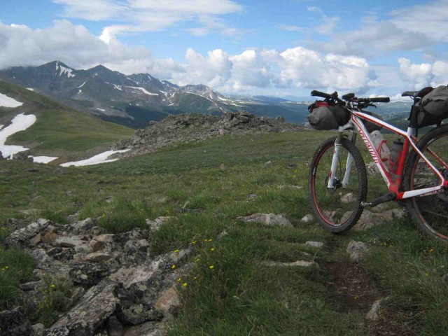
I overslept and awoke at dawn. The following miles stayed high as I worked my way over to Stony Pass. The trail was tough and slow. I soon realized my food was not going to last. One of the lumps in my bag turned out to be packets of Emergen-Cee drink mix and not one last cliff bar, as I had presumed. Never-the-less I enjoyed to miles.
From Stony Pass it is 3,000 feet of dirt road descent to Silverton. Using only my front brake was not an option so I endured loud scraping noises from my rear brake all the way to Silverton. Once in town I found the market and ate, and ate. I hung around the market for awhile eating and shopping. Next I went searching for a 2.5 mm wrench and ran into a racer, Jesse, who I’d been leap-frogging for the whole race. He lent me his tool and I was set. My combination of physical and mental fatigue made the task fairly tough. Eventually I got it right and proceeded up to Molas Pass to rejoin the CT.
Again I loaded up on water, trading the cost of a heavy load for flexibility. The trail was fairly tame by CT standards. Rolling and climbing. At one point I was zipping down a straight-away and BAM! I was sent flying over my bars into a superman landing (imagine a plane landing with its gear still up). I lay stunned and unmoving. I knew immediately that I had escaped serious injury. I just lay there thinking. My main thought was , I’m O.K. but I bet my bike is broken. “That’s it I thought…the end…@@#$#!!” But before even looking at my bike, I walked up the trail to find my undoing. It was so smooth and straight…how? what? Then I saw it, a pedal troll lurking beneath a little bushy bit beside the trail. It looked just like a shadow being cast by the bush. My peripheral vision hadn’t caught it and in my fatigued state I had probably been standing on my left pedal.
Even better, I found my bike more or less intact. Bars askew, seat crooked and GPS clip broken. My leg looked as though I was smuggling a golf ball across the rockies. My right quad had landed on something hard and dully pointed. My right thigh had a mark/bruise suspiciously similar to the shape of my GPS. “I am one lucky @#%$-@&#&&@&er” was what I said to myself, aloud…repeatedly.
As I rode on (what else would I do!) I chanted to myself “I’ve had worse charlie horses from my brothers…aint nothin’. The hypnosis worked and I more or less forgot about my injuries for the remainder of the journey.
I managed to catch another amazing sunset on a high pass before riding onward towards Bolam Pass. At this point my mental state was really poor. Even with my GPS in hand, I was losing the trail. At one point I was pearched at the top of fantastic looking descent. I was hungry so I plopped down into the tundra for a sandwich. Curious about my elevation, I pulled out my GPS and saw that I was off the route! If I hadn’t stopped to eat, I would have descended the wrong side of the mountain. Less than a 1/4 miles earlier I had misread a sign a gone off route. I back tracked and once again reached an amazing pass at sunset. I raced darkness down the other side and made it to the end of the segment by nightfall.
Riding at night was tough. My weak light and exhaustion combined to make even obvious clues obscured in the dark. Wisdom ruled the day (or night in my case) and I camped in the parking area of little lake. As I lay in my bivvy, that same rider, Jesse, came rolling by. We chatted for a minute before he rolled off into the darkness. I watched him go and was sure he was going the wrong way. Wisely I bit my tongue.
When I woke at first light I clearly saw the trail….exactly where Jesse had gone.
The final day
I had overslept but still could not manage to rush. I rode with too many stops. Without my GPS unit visible, my navigation confidence was low and I found myself double-checking the route too often. I realized that I had become too dependent on the device. Chastened, I stashed the GPS away and focused on keeping my head up and my brain ‘on’. I climbed one last last high ridge to one last pass. Naturally I misjudged the pass and gave my farewell speech to the high country over an hour early. I even included a salute (fist in the air). Silly me….an hour of climbing and rolling still awaited me before I would descend into the lower elevations.
When I did finally reach the descent I was wasted. I walked all the technical steep stuff and then some. When I reached the trailhead for the final segment, it was all I could do to find a spot of shade and collapse into it. My food supply consisted of two fig newtons and the cookie dust at the bottom of the bag. Ravenously I poured the contents into my mouth, frustrated that even a single crumb escaped. I came around to my senses enough to know that the sooner I could finish , the better. I remounted my bike and rounded the corner to find a racer starting the segment at the exact same moment. It was crazy that after so many miles we were entering the final segment at the same time. The other racer and I hadn’t seen each other for two days. He was a stronger rider but obviously stopped for long breaks. Whenever we had been together he had pedaled away from me, but here we were again. Naturally he pedaled away again at this point.
I was hungry and tired. As I dropped elevation, I took on a new challenge…heat. Once below 10,000 feet the temperature rose enough to hurt. The final segment sounds so easy, twenty-one miles with a net loss of over 5,000 feet. It was not easy. But it was mostly fun. The CT is so great it compensates for hunger, exhaustion, hyperthermia, numb hands and roasted butt. All the same, I was quite pleased to reach its terminus. No one greeted me. No one clapped. A random lady asked me if I had just finished the race. ‘Cool’ was all she offered in reply. None of that mattered. I pulled out my only time piece (my GPS) and noted the time; 6:45pm. I had completed the CT in 6 days and 12 hours.
I rode into town and wandered around until I found pizza and beer. Then straight to Baskin Robbins for ice-cream. Finally with a bonus beer in the bag, I got a room for the night.

The eTrex 10/20/30 series is an update to one of the most popular bikepacking GPS units, the eTrex VistaHCx, featuring a faster chipset and totally redesigned software. Major new features of interest to bikepackers are the track manager (much easier uploading of routes), custom raster maps and new track following software. In general the unit is easier to use and runs faster than the older VistaHCx line.
Specs:
Unit dimensions, WxHxD: 2.1″ x 4.0″ x 1.3″ (5.4 x 10.3 x 3.3 cm)
Display size, WxH: 1.4″ x 1.7″ (3.5 x 4.4 cm); 2.2″ diag (5.6 cm)
Display resolution, WxH: 176 x 220 pixels
Display type: transflective, 65-K color TFT
Weight: 5 oz (141.7 g) with batteries
Battery: 2 AA batteries (not included); NiMH or Lithium recommended
Battery life: 25 hours
Waterproof: yes (IPX7)
Interface: USB
Basemap: yes
Preloaded maps: no
Ability to add maps: yes
Built-in memory: 1.7 GB
Accepts data cards: microSD™ card (not included)
Waypoints/favorites/locations: 2000
Track log: 10,000 points, 200 saved tracks
Custom maps compatible: yes
Unit differences
eTrex 30 – top of the line unit includes altimeter and electronic compass
eTrex 20 – all features of the 30, but no compass and altimeter. Still same internal memory and custom maps ability.
eTrex 10 – cannot load maps (base maps or custom maps) and has no internal memory. Can still accept tracks for following, however.
Please rate this product: (no login required)
(71 votes, average: 3.62 out of 5)
Loading ...

The newly designed GPSMAP 62s is a remake of the venerable 60 series featuring a faster chipset and totally redesigned software. Major new features of interest to bikepackers are the track manager (much easier uploading of routes), custom raster maps and new track following software. In general the unit is easier to use and runs faster than the older 60 series (or VistaHCx line).
The 62 series comes in various flavors: 62, 62s, 62st, 62sc, 62stc. Here’s what the abbreviations mean: s = adds sensors (electronic compass and altimeter). c = adds 5MP digital camera. t = adds pre-loaded topo maps.
Specs:
Unit dimensions, WxHxD: 2.4″ x 6.3″ x 1.4″ (6.1 x 16.0 x 3.6 cm)
Display size, WxH: 1.43″ x 2.15″ (3.6 x 5.5 cm); 2.6″ diag (6.6 cm)
Display resolution, WxH: 160 x 240 pixels
Display type: transflective, 65-K color TFT
Weight: 9.2 oz (260.1 g) with batteries
Battery: 2 AA batteries (not included); NiMH or Lithium recommended
Battery life: 20 hours
Waterproof: yes (IPX7)
Ability to add maps: yes
Built-in memory: 1.7 GB
Accepts data cards: microSD™ card (not included)
Waypoints/favorites/locations: 2000
Track log: 10,000 points, 200 saved tracks
Please rate this product: (no login required)
(10 votes, average: 3.50 out of 5)
Loading ...

As the largest pack in the Escapist series, the Escapist 30 maximizes carrying capacity for day long bike adventures and overnight hut to hut bike packing trips. Comfort features include a Bio-Stretch™ ventilated harness, mesh hipbelt with ErgoPull™ closure and an AirScape™ ventilated backpanel. Nubbed or ridge foam backpanel with grip mesh covering provides superior breathability and ultra-comfortable pack to body contact. Between the AirScape™ backpanel and the main compartment a hydration bladder can fit safely and comfortably. Internal organizer pockets for bike specific tools, a LidLock™ helmet attachment, height-adjustable chest strap with emergency whistle, blinking light attachment and reflective detailing complete the Escapist’s bicycling oriented features. Bottom zip entry and an internal zipped divider make for easy access and organization.
Features:
Highly ventilated and supportive BioStretch ™ Harness
Mesh covered slotted foam
Mobile / GPS pocket to harness
Etro sliding sternum strap
AirScape Suspension
BioStretch ™ Hipbelt
Front mesh pocket
Reflective detail to front and base panels
Side mesh pockets with inner-outer compression straps
LidLock™ helmet clip
Blinker light attachment
Internal organiser for pump, tubes and tools
Integrated Raincover
Base compartment opening
Zippered hipbelt pockets
210D Nylon Mini-hex
Weight: (Escapist 30) 2 lbs 6 ounces, 1100 g.
Also available in 20 and 25 smaller versions.
Please rate this product: (no login required)
(92 votes, average: 3.60 out of 5)
Loading ...
See famous freeride star Matt Hunter on a overnight in the gorgeous Chilcotins.
Video by Freeride Entertainment/Specialized:
http://www.vitalmtb.com/videos/features/Matt-Hunter-Lone-Wolfe,8561/bturman,109

The Osprey Hornet 24 pack has been stripped to the essentials yet still offers comfort and functionality for day hikers, racers, peak baggers and anyone who wants to move fast with little weight.
Volumes and Weights
US and International weight and volume specifications
Size cu. in. liter lbs/oz kg.
S/M 1320 22 1/2 0.50
M/L 1440 24 1/3 0.54
Dimensions
Dimensions are shown as length (height) x width x depth
19 x 11 x 7.5 in
49 x 27 x 19 cm
Please rate this product: (no login required)
(31 votes, average: 3.42 out of 5)
Loading ...
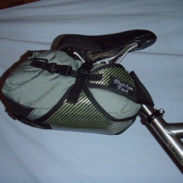
- S.I.C Sack seat bag from Phantom Pack Systems
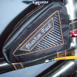
- Tank bag from Phantom Pack Systems
-
Hello to all,Up for review is My line of Phantom Pack bike packing gear,Quality hand made product designed and tested on the East coast of Canada,Made to withstand the harsh conditions often found in coastal regions.
Phantom Pack Systems Features;
-All products are constructed with industrial marine grade
thread tex 135/207 for long service life
-Hypalon,1000 d Cordura,Dimension Polyant X-pac Vx-21 sailcloth,Tuff -Tek,Semi rigid carbon fiber/Kevlar carbon weaved materials.
-All products made in small batches,Or built to order,Attention to detail is always a priority.-Reasonable pricing and combined shipping available.
Please visit
www.phantompacksystems.com for more info.Thanks
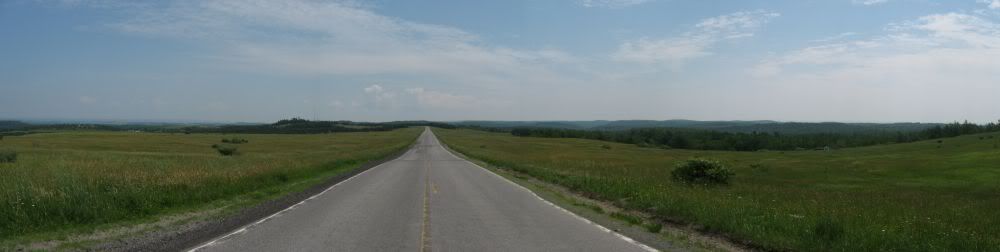
The Eastern Continental Divide:
Triple Point to Mason-Dixon Line
(The Pennsylvania Segment)
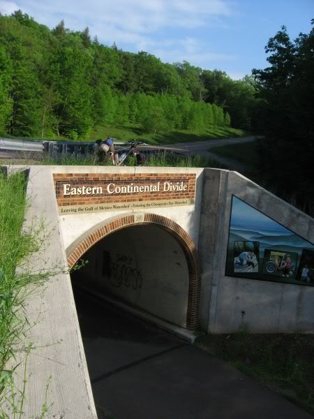
The ECD route passes over the Great Allegheny Passage Rail Trail
Summary
A route tracing Eastern Continental Divide (ECD) through Pennsylvania has been created. The
objective was to adhere to the actual divide as closely as feasible. This report is a collection of field
checking trips confirming a route conducted during the spring/summer of 2011.
Map
A Google Map is available here. Mapped are the divide, the route (color coded by road/trail surface type) as well as numerous photos. The map is very cluttered with the photos, turn them off to see better detail of the location of the route and the actual divide.
GPX File
A GPX file is in this Google Drive Folder
There is also a brief readme file in the Google Drive Folder
Statistics
|
State
|
Total
[miles]
|
Paved
|
Dirt
|
Double Track
|
Single Track
|
Bushwhack
|
|
PA
|
270.53
|
183
|
65.22
|
20.15
|
1.71
|
0.45
|
The Route
The northern terminus of the route is the eastern Triple Point sign, which is a bit NE of the actual triple point.
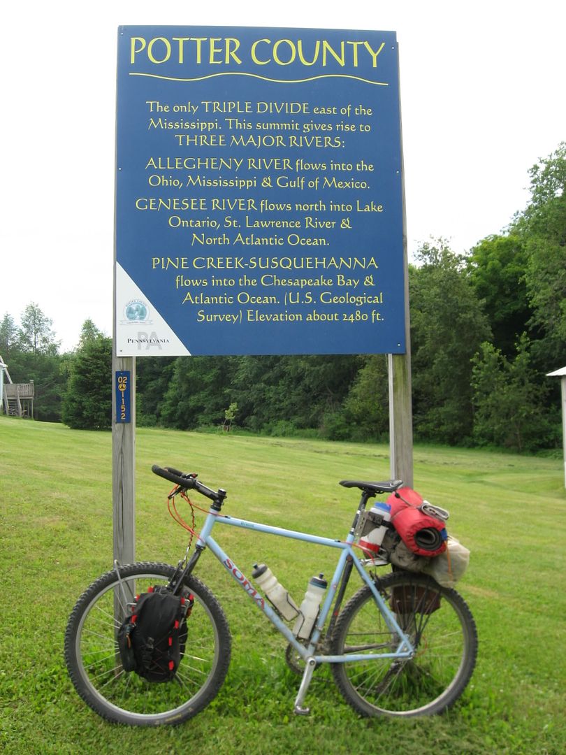
Triple Point Sign
There is hotel about 7 miles SE of the Triple Point:
Potato City Hotel, located on Route 6
The route ended up being predominately-paved roads. There is more pavement than initially expected. The ECD skirts between and around some of the major blocks of public land in PA, limiting the amout of dirt road. It seems that rural, dirt roads are evaporating in PA. 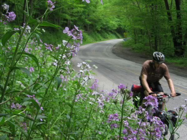
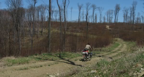
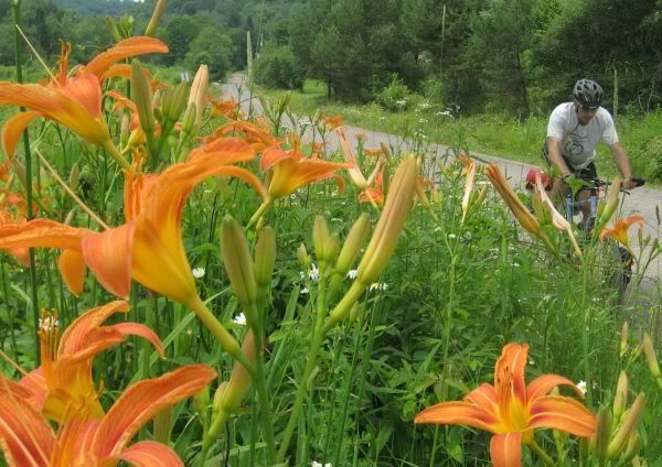
The rare single-track section
To add a little frustration, a bushwhack segment is included:
A faint trail/bush whack that becomes more so
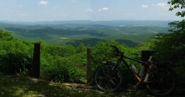
There are a couple of vistas along the route
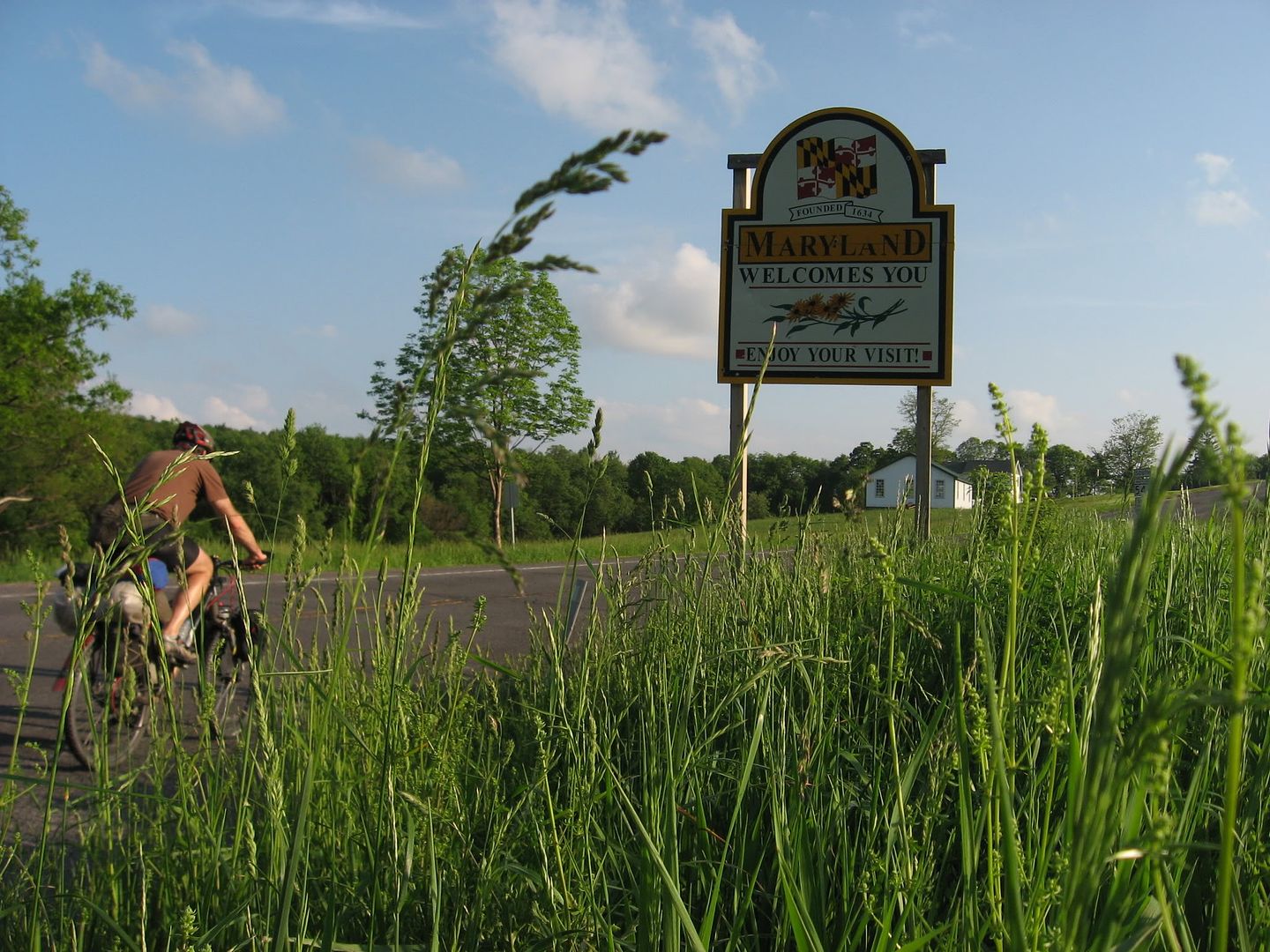
The Mason-Dixon Line and Maryland
There are limited services directly along the route, but numerous small towns along the way offer various services.
Historical Sites Along Route
There are numerous historical points in the proximity of the route. Near the triple point is the PA
Lumber Museum. Much of the PA forest system was purchased from lumber companies that had clear-cut the land in the 1800s and early 1900s.
Tannery that used tree bark (off route)
The route also crosses the PA Mainline canal/portage railroad. PA built a canal system to compete with NY canal system in the mid 1800s. One obstacle was building a canal up and over the Allegheny
Front, crossing the ECD and descending down the mountain to get the boats back in the water to continue their journey to Pittsburgh. The canal was built up to the base of the mountains, from the base of the mountains, a rail system was used to winch the modular canal boats up and over the mountains. More here.
The canal didn’t have a long lifespan; it was displaced by the railroads. The Pennsylvania Railroad built the Horseshoe Curve to negotiate the Allegheny Front. The ECD route parallels a section of the Pennsylvania Railroad Mainline from Cresson to Portage.
Ironically, a dam used in the canal system would be refurbished and used as a lake for a summer retreat for the tycoons of late 19th century. Epic rains would cause the dam to burst and cause the Johnstown Flood of 1889. Over 2,000 lives were lost in the flood.
Impressions
Energy is a theme that is prevalent along the route. Coal, natural gas and wind power, evidence of these activities stretch up and down the route.
Old mining structure (coal tipple?)
Mural on Subway sandwhich shop: Lumberjack, Coal Miner and Pennsylvania RR
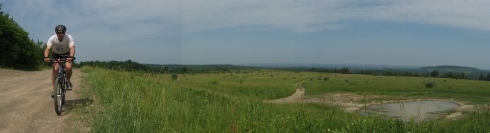
Reclaimed Strip Mine
Wind Farm sited on Reclaimed Strip Mine (off route)
Shale Gas Drilling Site 2011
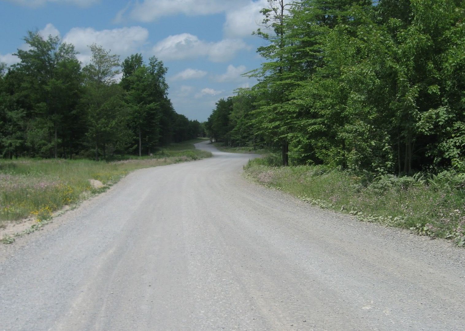
Gas driller traffic causes high use of gravel roads
A non-energy related industry:
Route passes by an opportunity for free beer at the Straub Brewery
The Back Story
The route was ridden as number weekend and day trips… leading to many loops being ridden to avoid backtracking. Some photos from the recon rides:
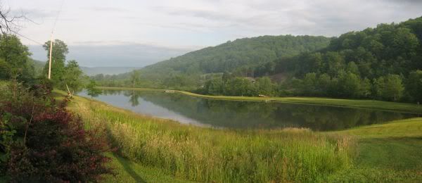
A pond
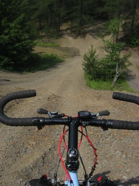
I expected more stuff
like this along the route–a raw, unreclaimed strip mine, but over the
years the sins of prior mining have be reversed.
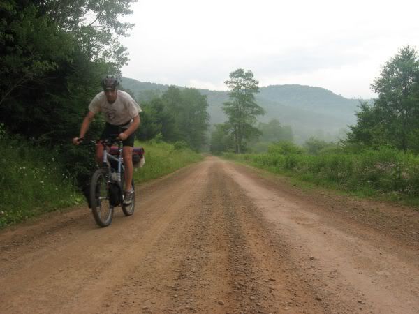
AM fog
Further recon has been done on the ECD. MD has been ridden, and WV started. It will take a while to ride WV and then after that, who knows, VA and points south are a little out my typical range.
JHL99

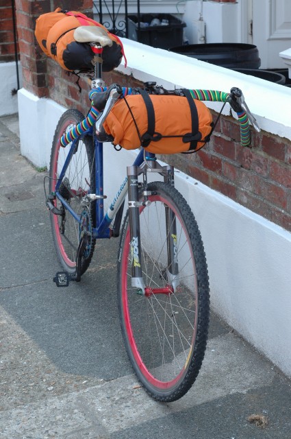
This is a creation of needs. My cyclocross bike got written off in a crash and I had this Bonrager frame sitting idle with little use. The CX bike got stripped and the components transfered to this frame. It is a bit of a bastard creation with 700c wheels on a frame designed to take a 26′ wheel.
I bought some Salsa Woodchipper bars and Moto Ace stem to achive a more commanding riding position for extended trips. This bike is supposed to be a stop gap until I buy a new CX machine… but i’m growing quite fond of it. The frame is a large Bontrager Race dating to about 1996. Forks are Pace RC31. Brakes are Pauls Motolites. Gearing is a mix match of Shimano 105 STi combo, XTR rear mech, 11-34t 9sp XT cassette, 46/36t Pace chainrings on175mm Raceface turbine cranks, Hope hubs, SRAM chain, Velocity rims, DT Revolution spokes, Panaracer CinderCross 35c tyres, Flite ti saddle on Syncros post.
I’m going to sort out some propper bags at a later date, but for the time being this gets me out on the hills and away from the town. So far i’ve been out on several overnighters here in the UK. I want to string together a longer 2-3 night trip at the end of fall and adjust my gear to suit.
Here is a general overview of my gear and how I pack
The rear rack is a Topeak item.
Alpkit 20l drybag on the rear, containing –
* Alpkit Pipedream 800 bag
* Alpkit Hunka bivvy bag
* Alpkit Rig 7 Tarp
* Alpkit MiTiMug
* Paracord
* Pegs
* Coleman 100 Gas cartridge
* Fire steel
* Howies outback softshell jacket
Abus frame bag, containing
* Park tools multitool
* Leynze micro pump
* 700c tube
* Patchkit
* Emergency cereal bar
* Montane featherlite smock windproof
* MSR pocket rocket
Alpkit 8l Drybag on the bars, containing
* Alpkit aircirc thin sleeping pad
* Shimano XTR beanie hat
Northface Hammerhead hydration pack (older model), Contains
*Food –
*Snacks
*3l bladder of water
*knee warmers
*Change of cloths
*Victorinox Swiss Champ knife
*Spork
*Alpkit Gamma Headtorch
*Alpkit fillet down vest for cooler time of year
*First Aid kit
Me
*Howies merino wool jersey
*Cannondale short/liners
*Northwave mission shoe
*Thin wool socks
*Specialized gloves
Thanks for looking and feel free to feedback
My daughter and I combined the CDT and the GDR for a month long bikepacking journey along the continental divide Here is a link to our trip: http://sites.google.com/a/greyrock.org/new-mexico-s-continental-divide/
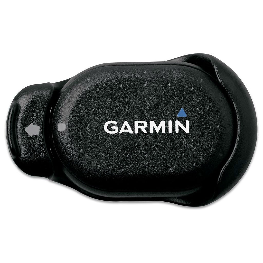

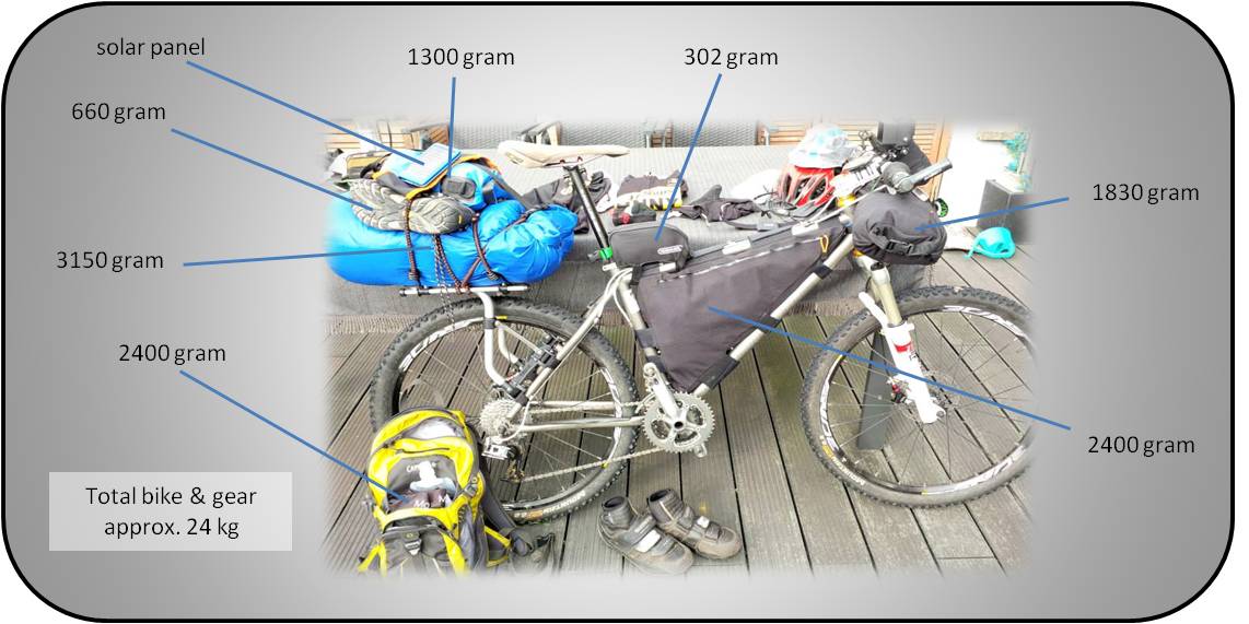


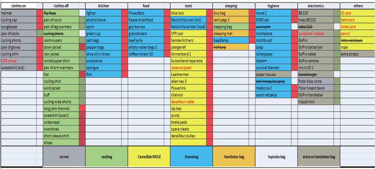


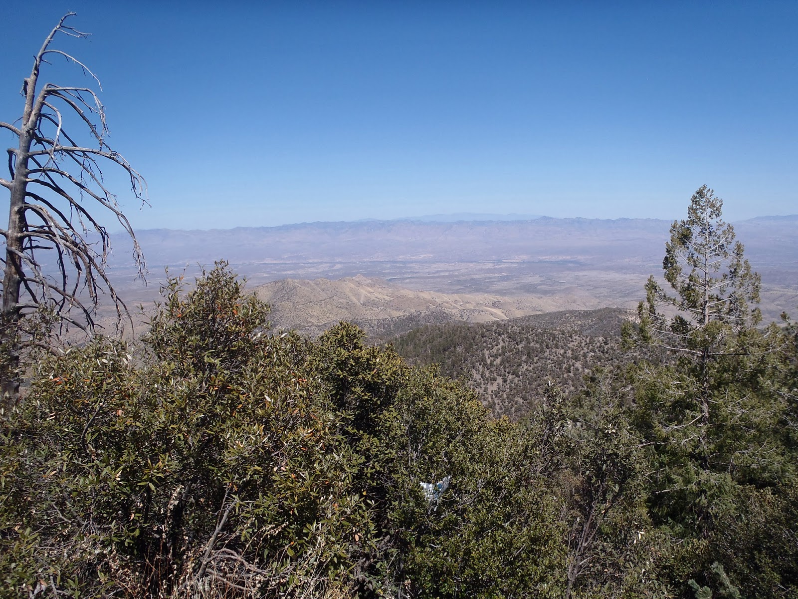


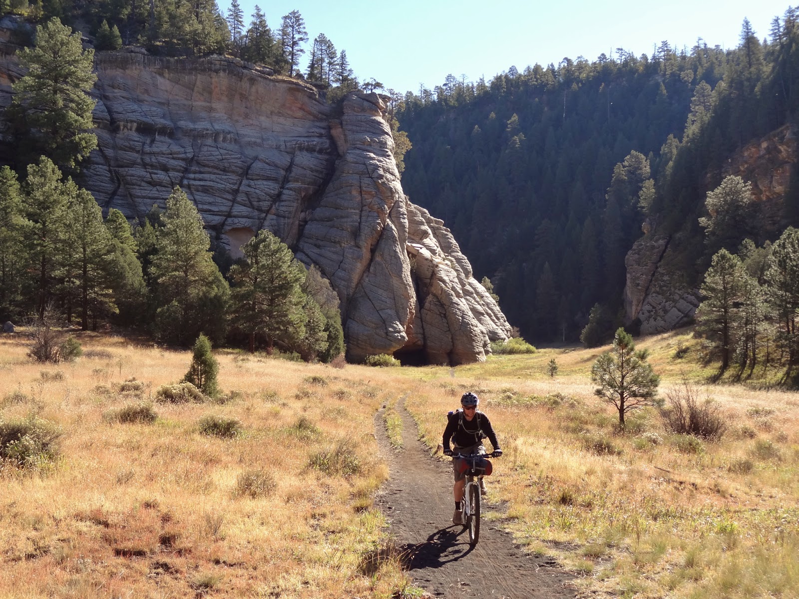
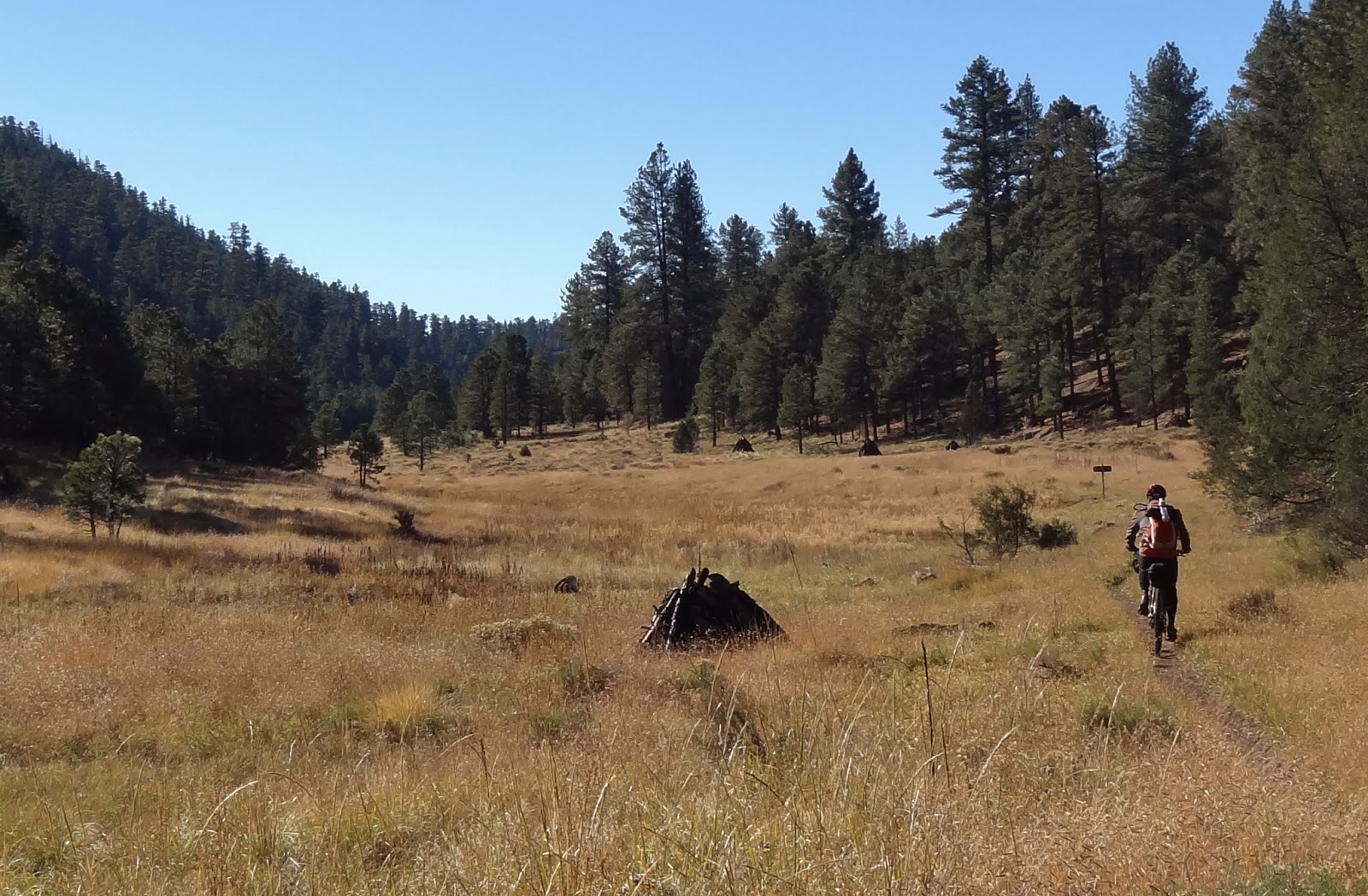


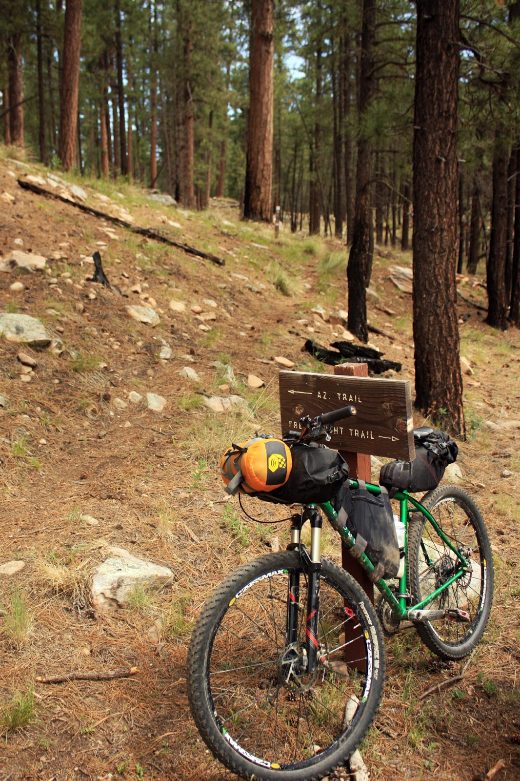


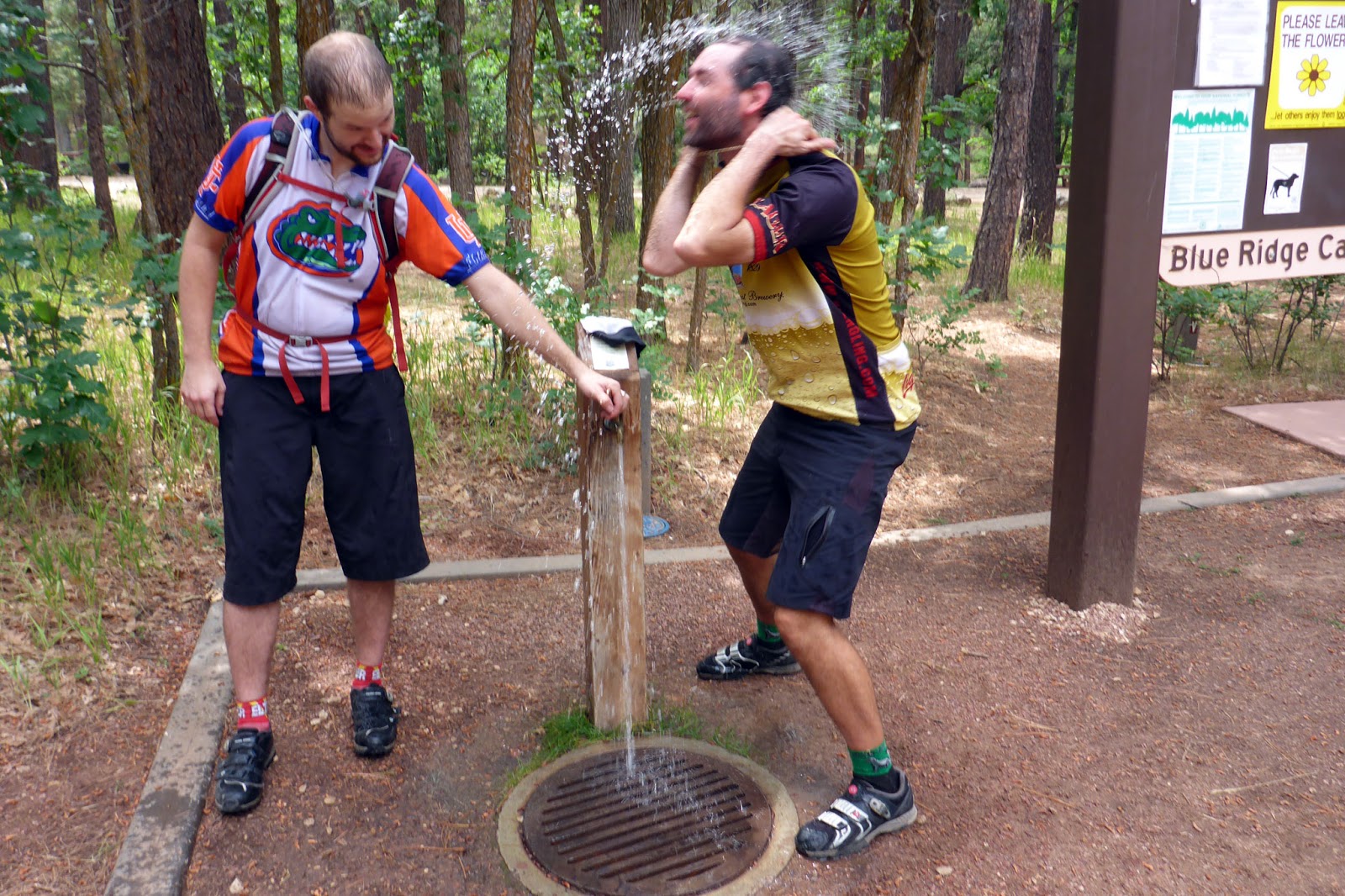


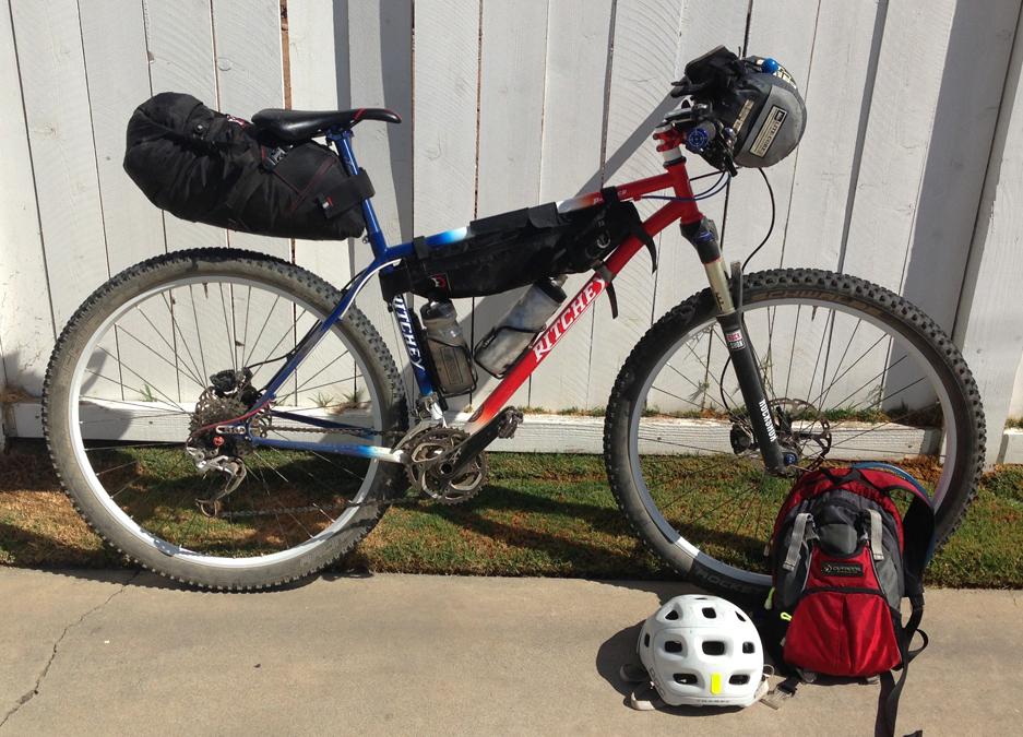
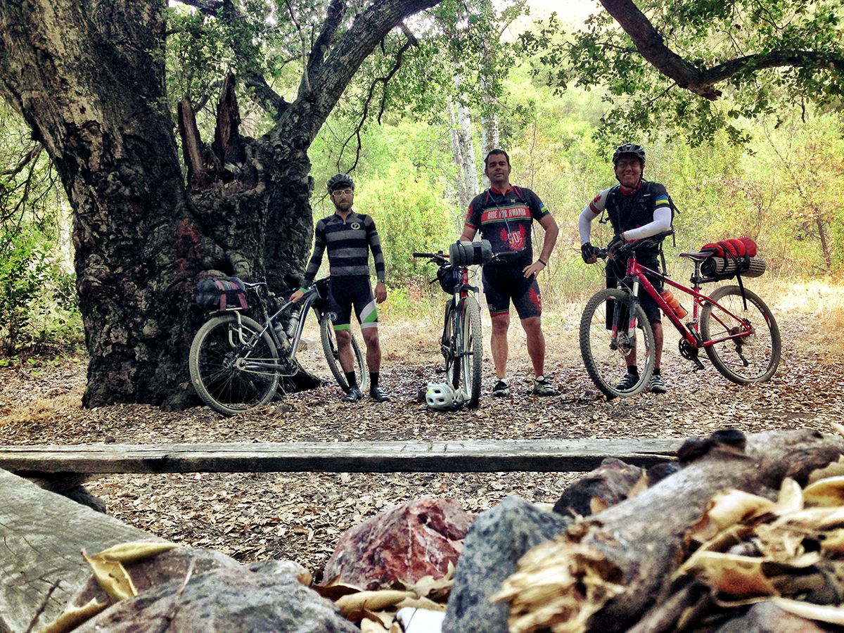
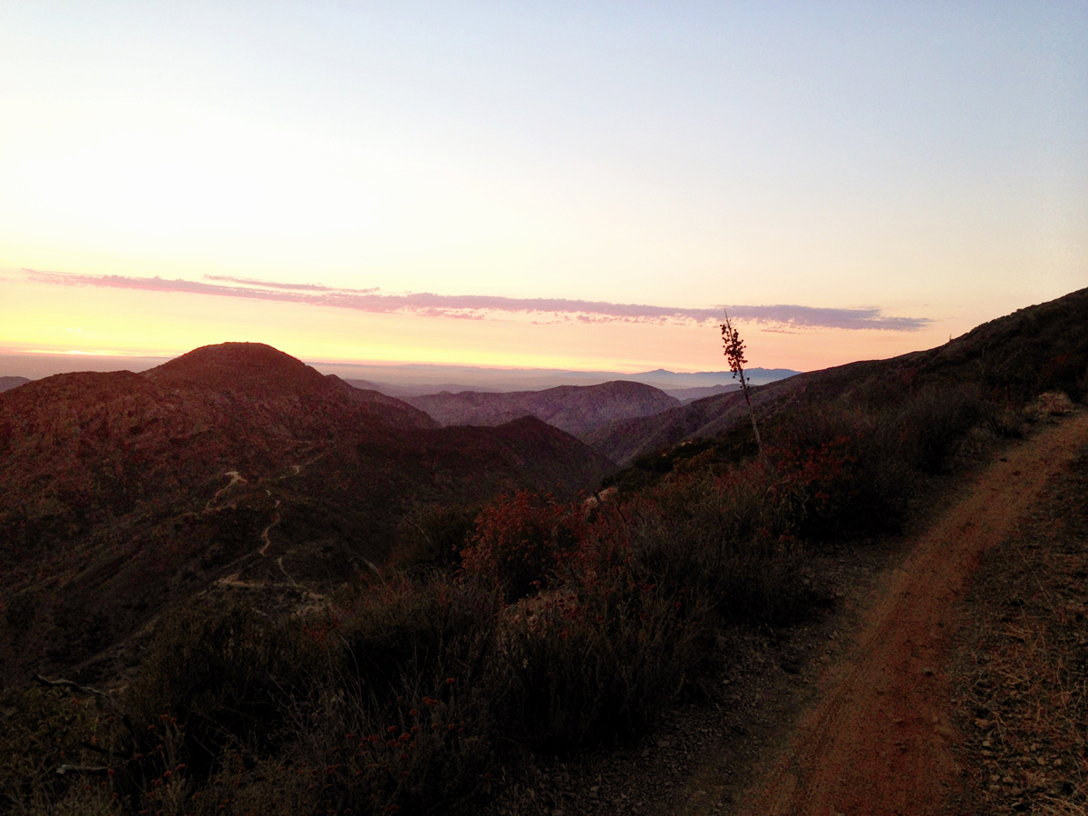
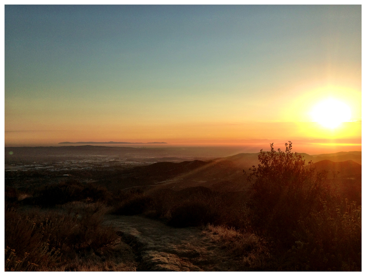
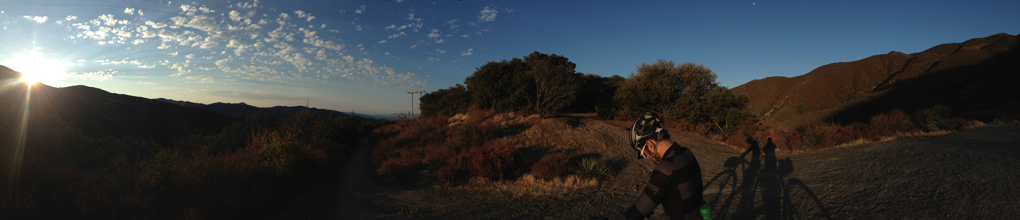

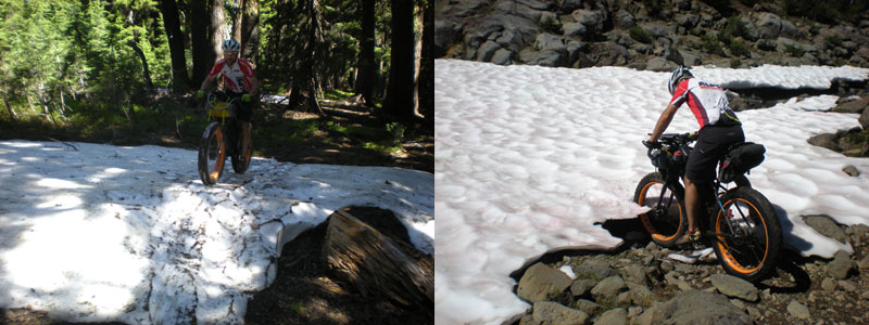

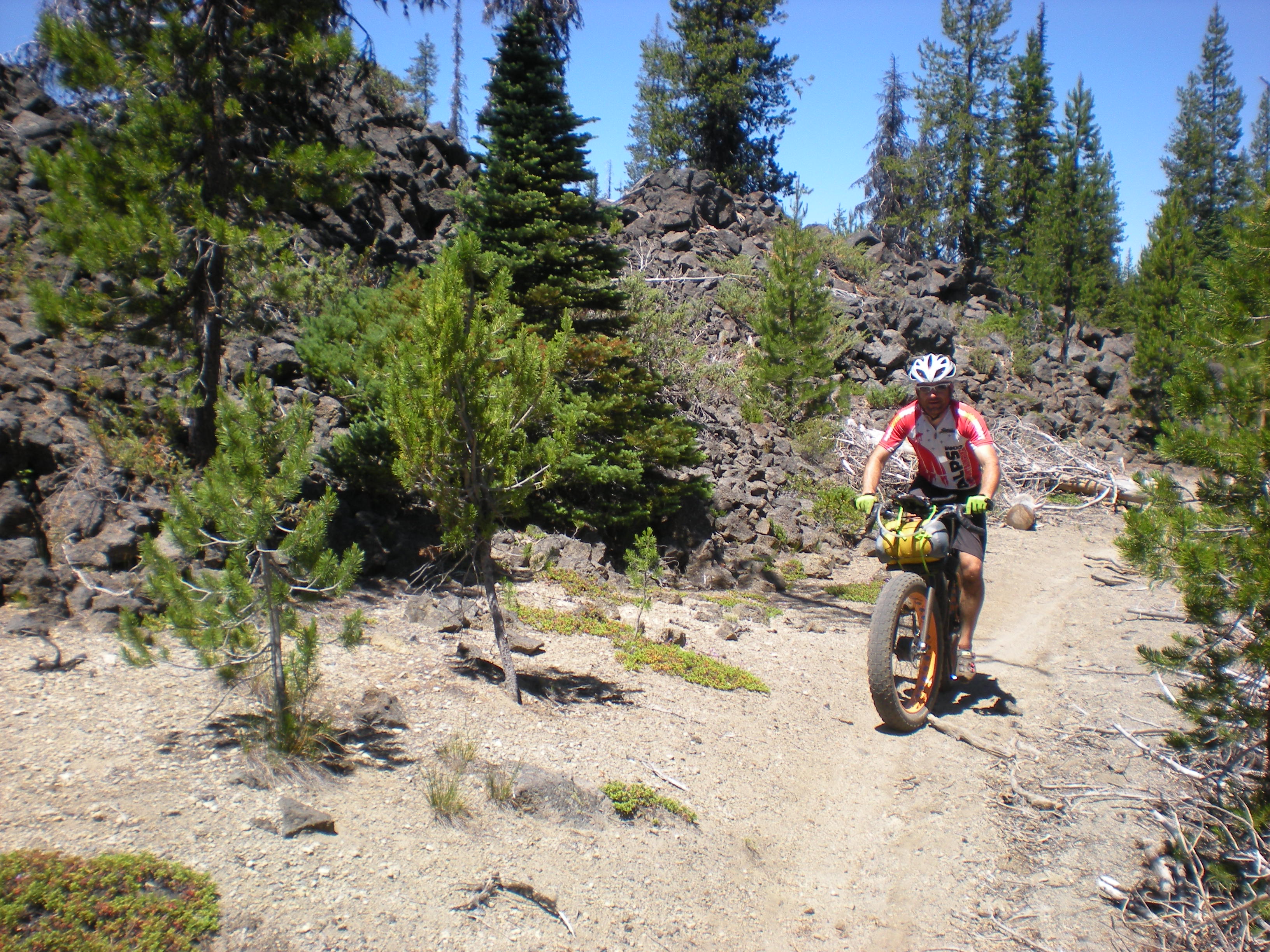

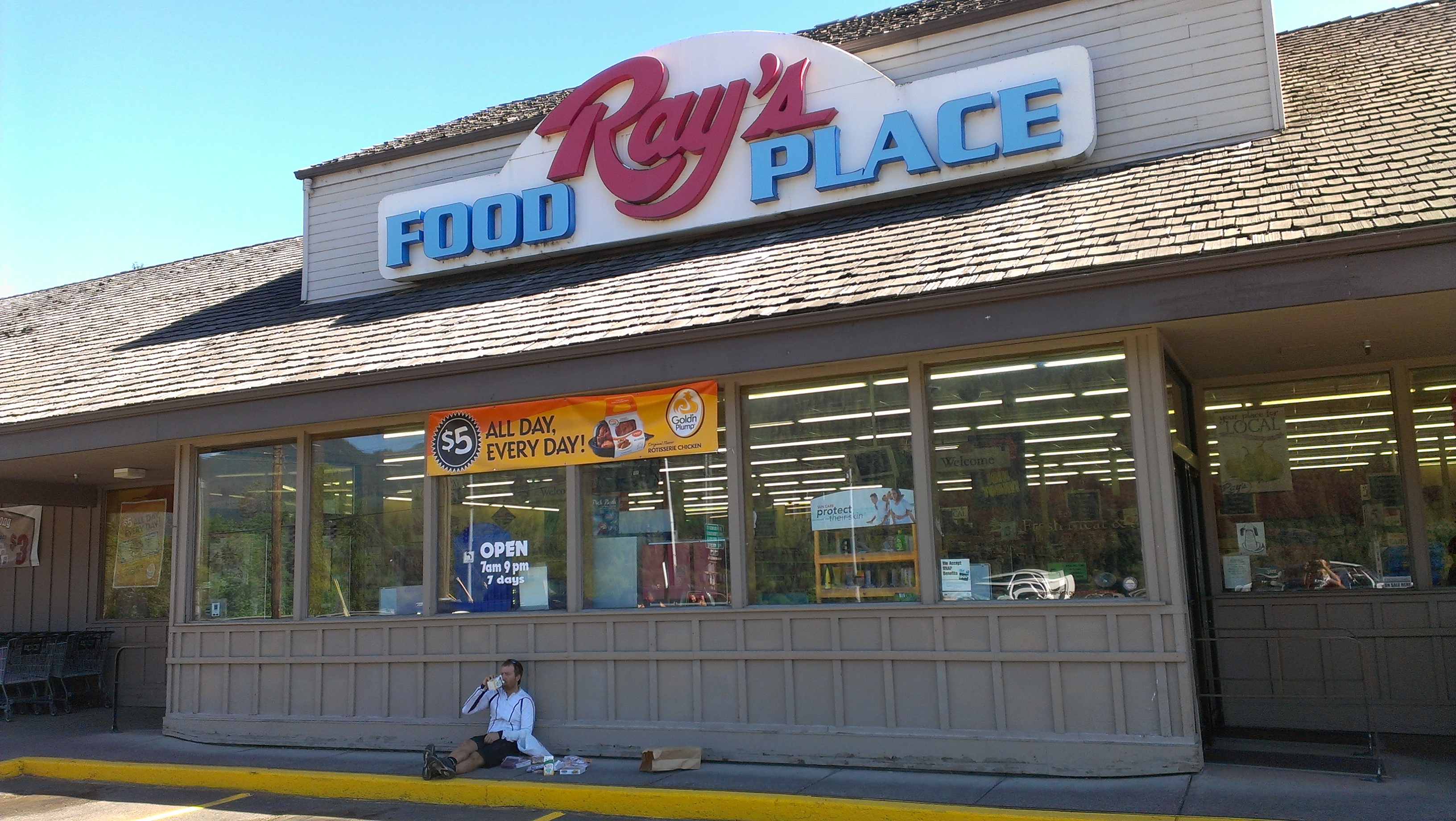
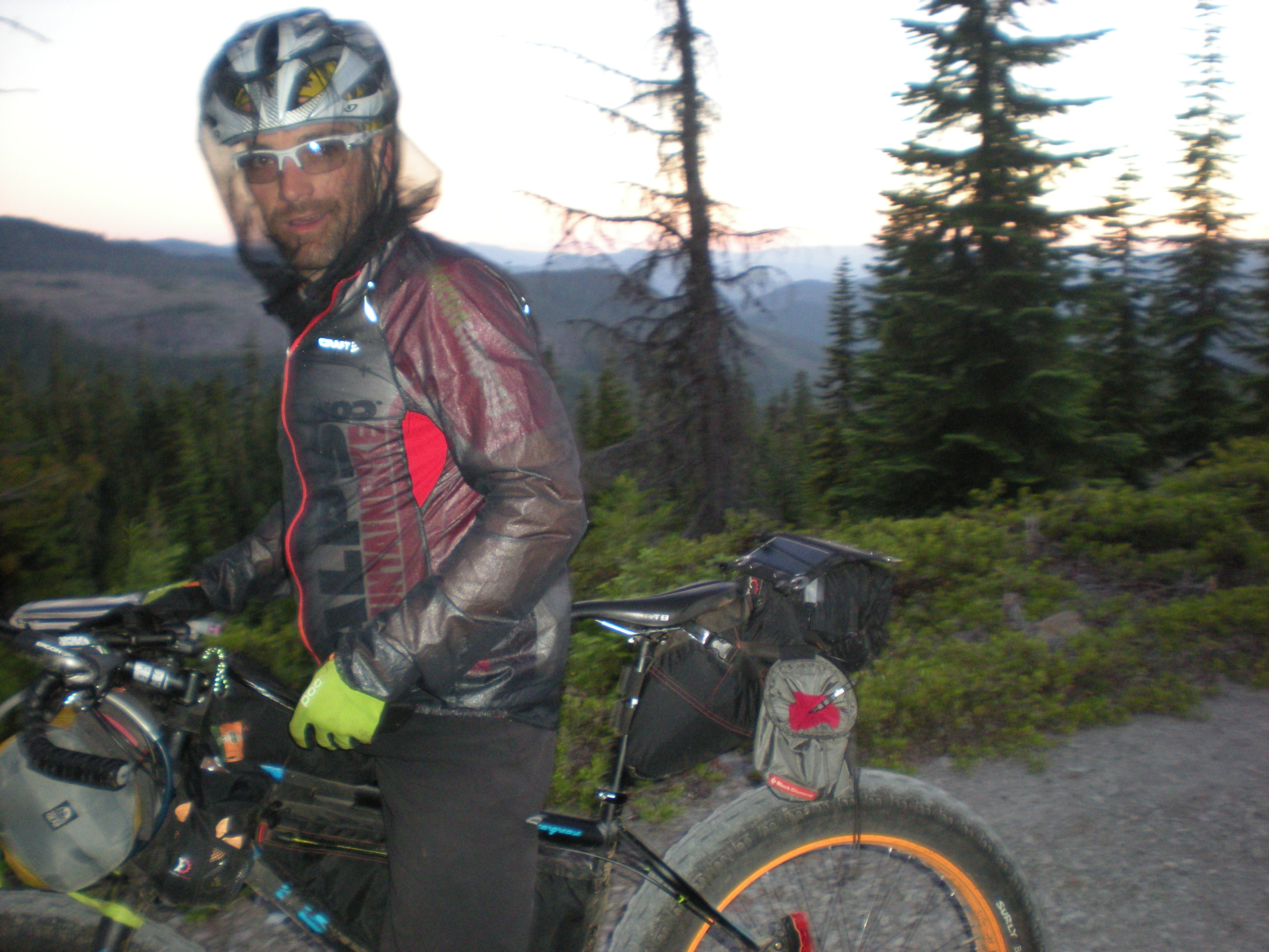
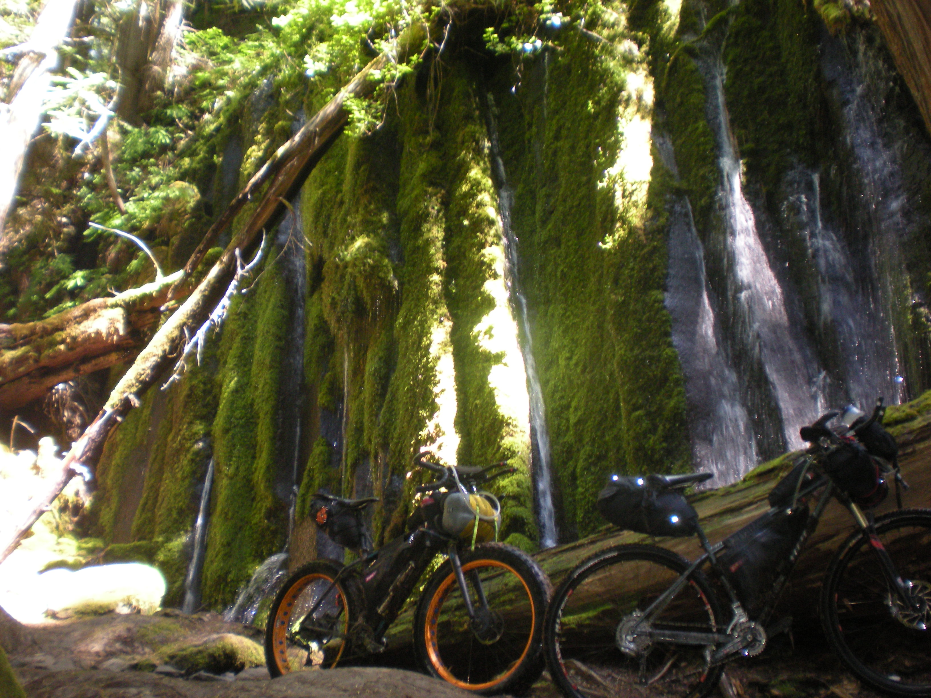


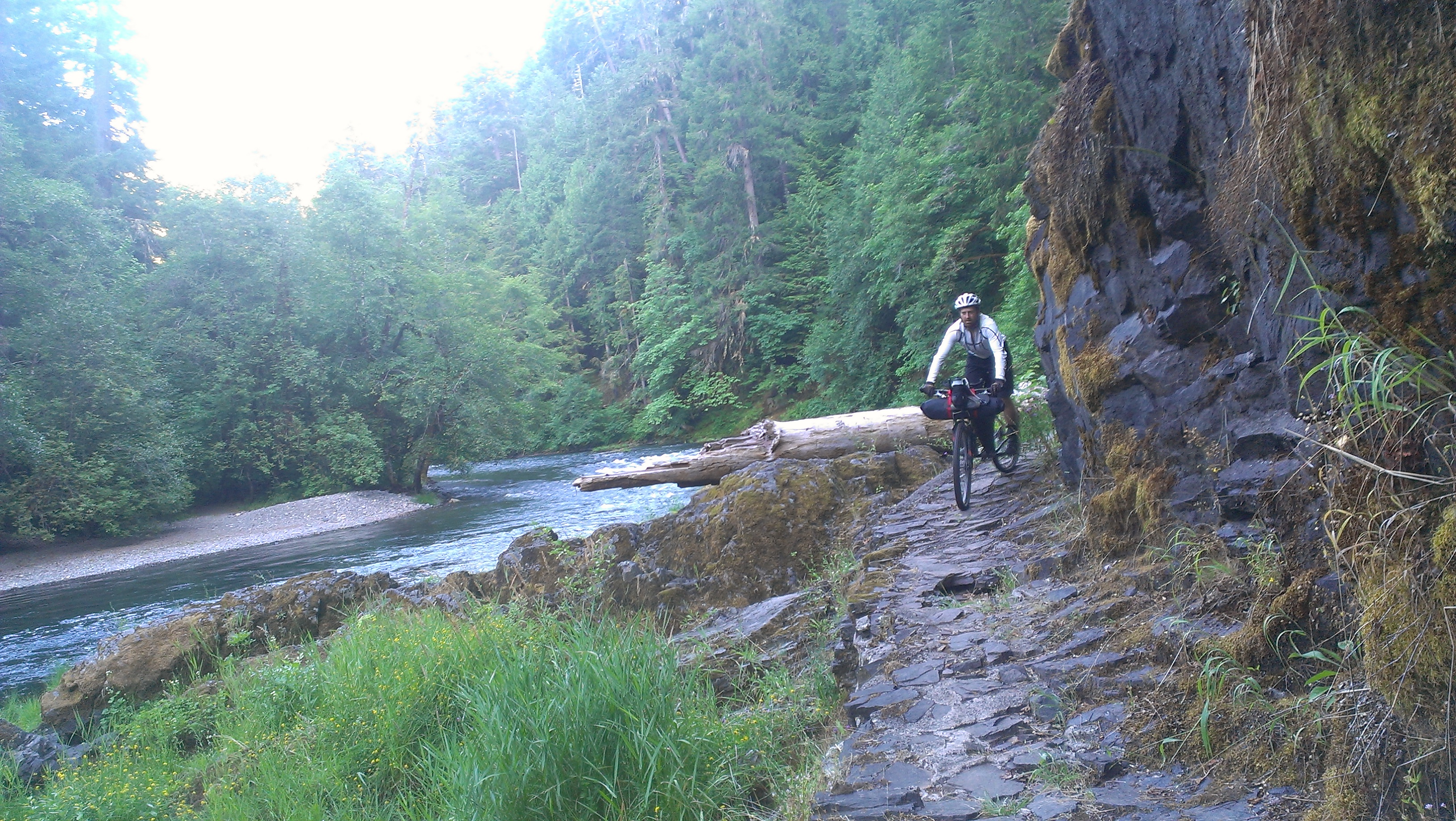
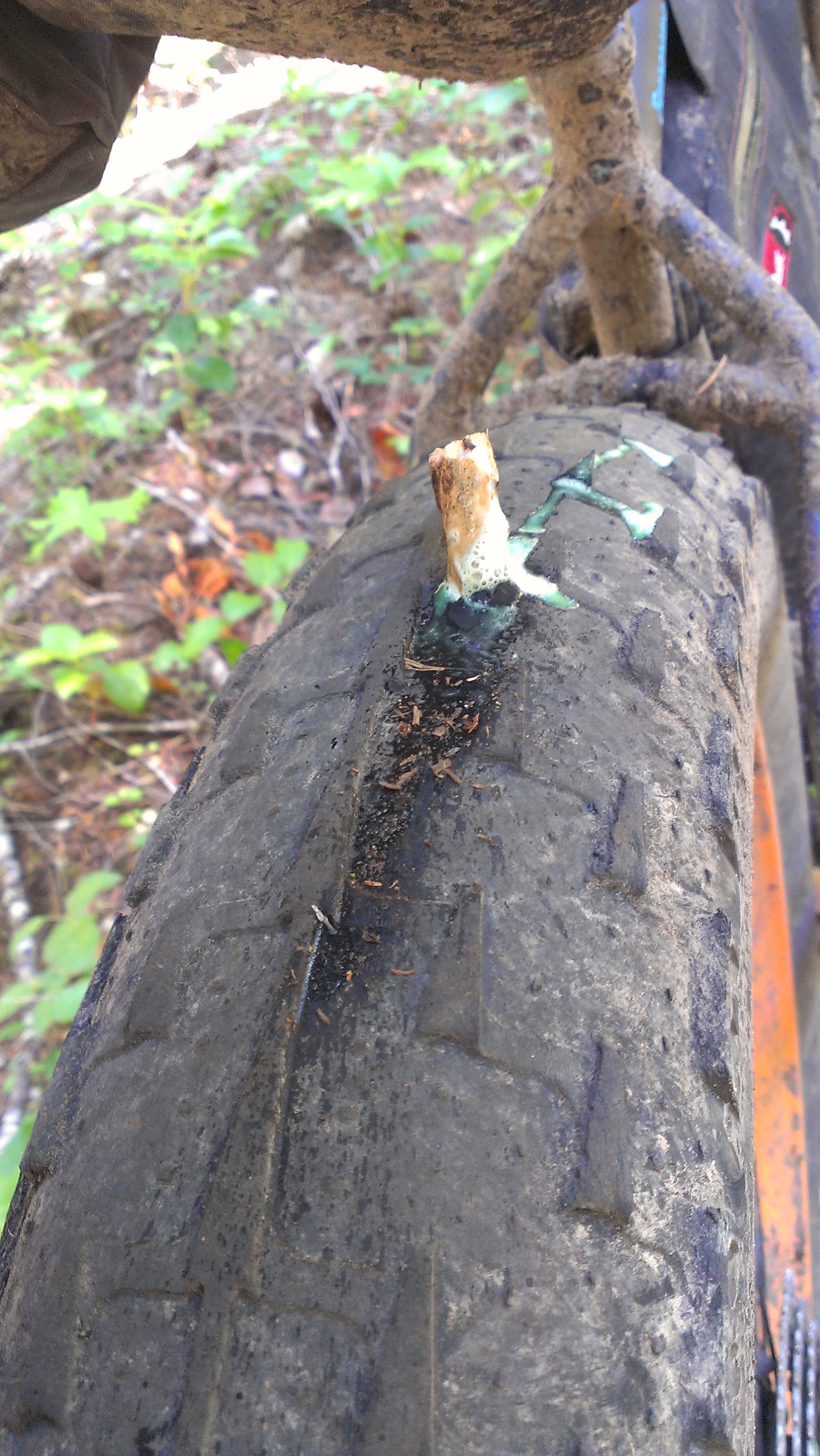


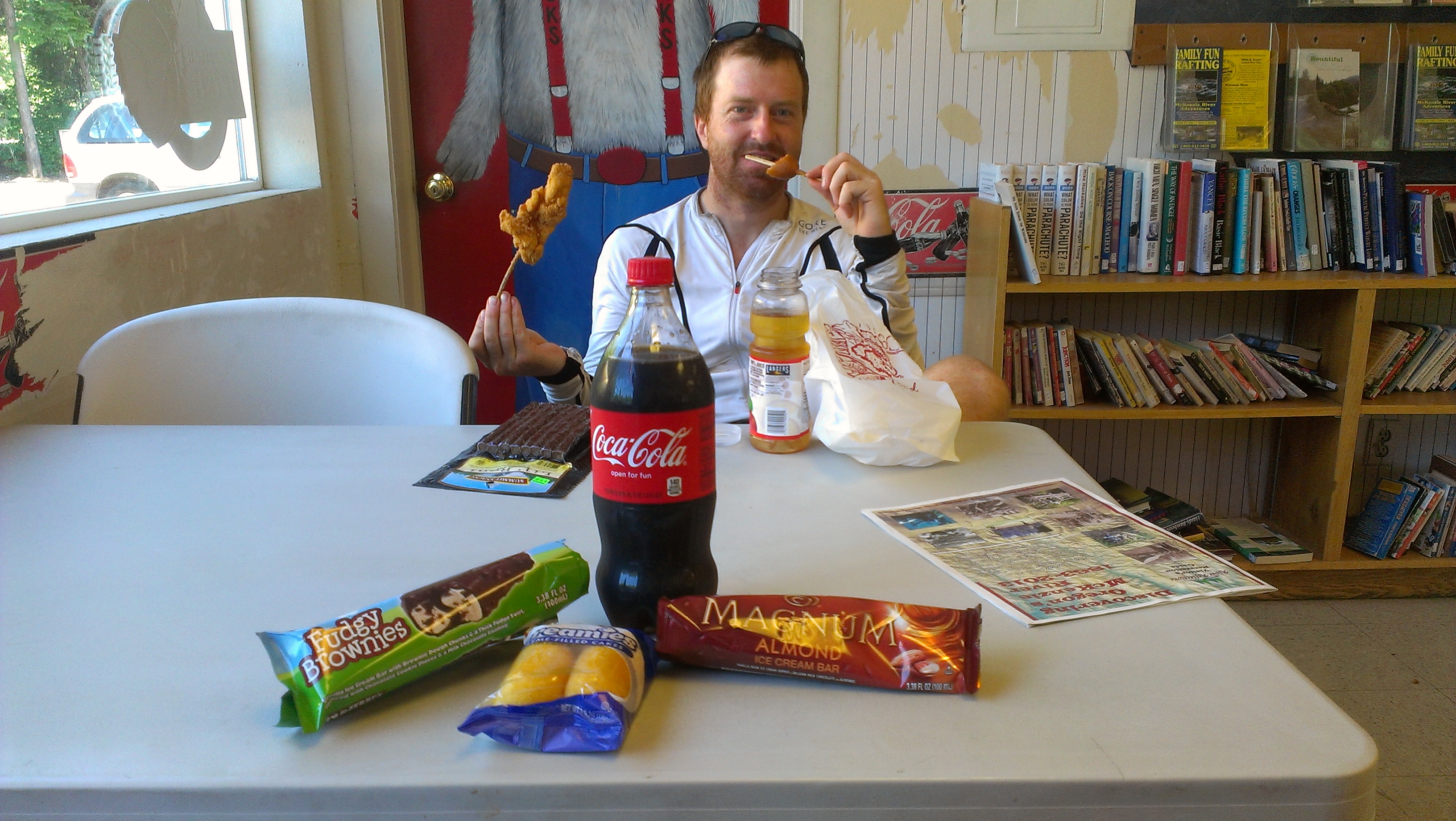
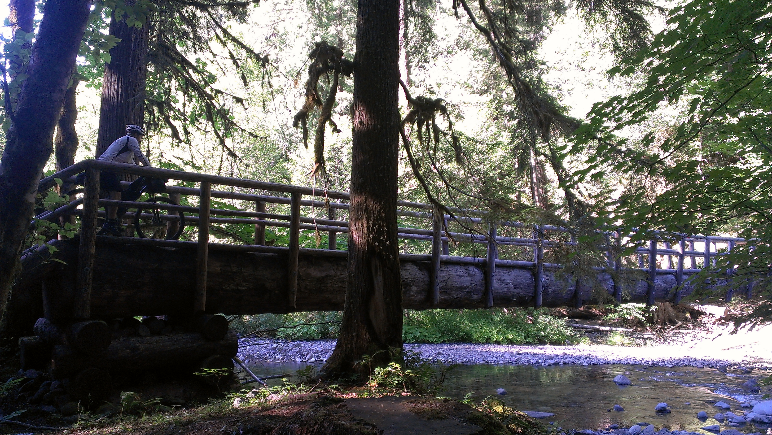

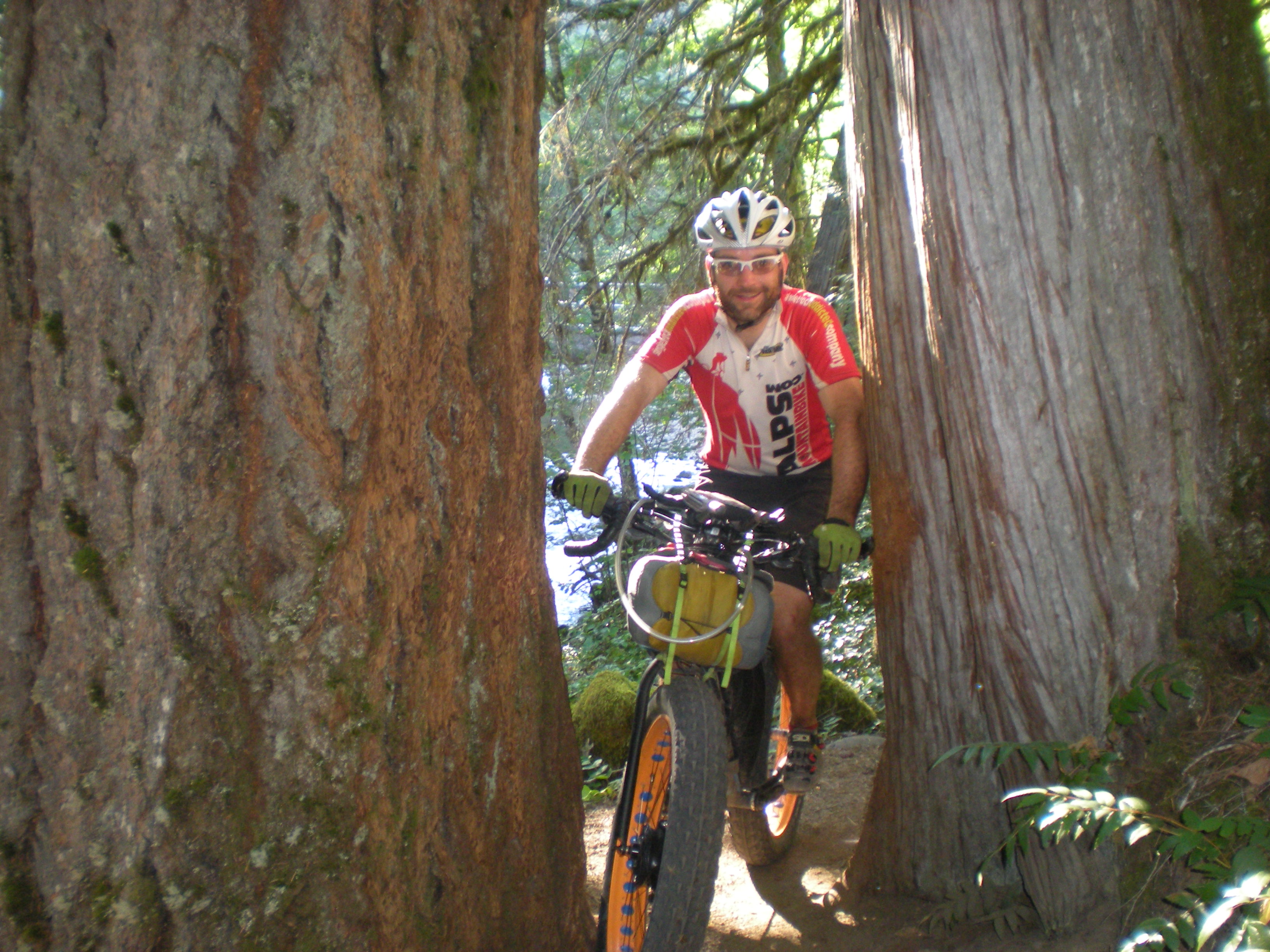

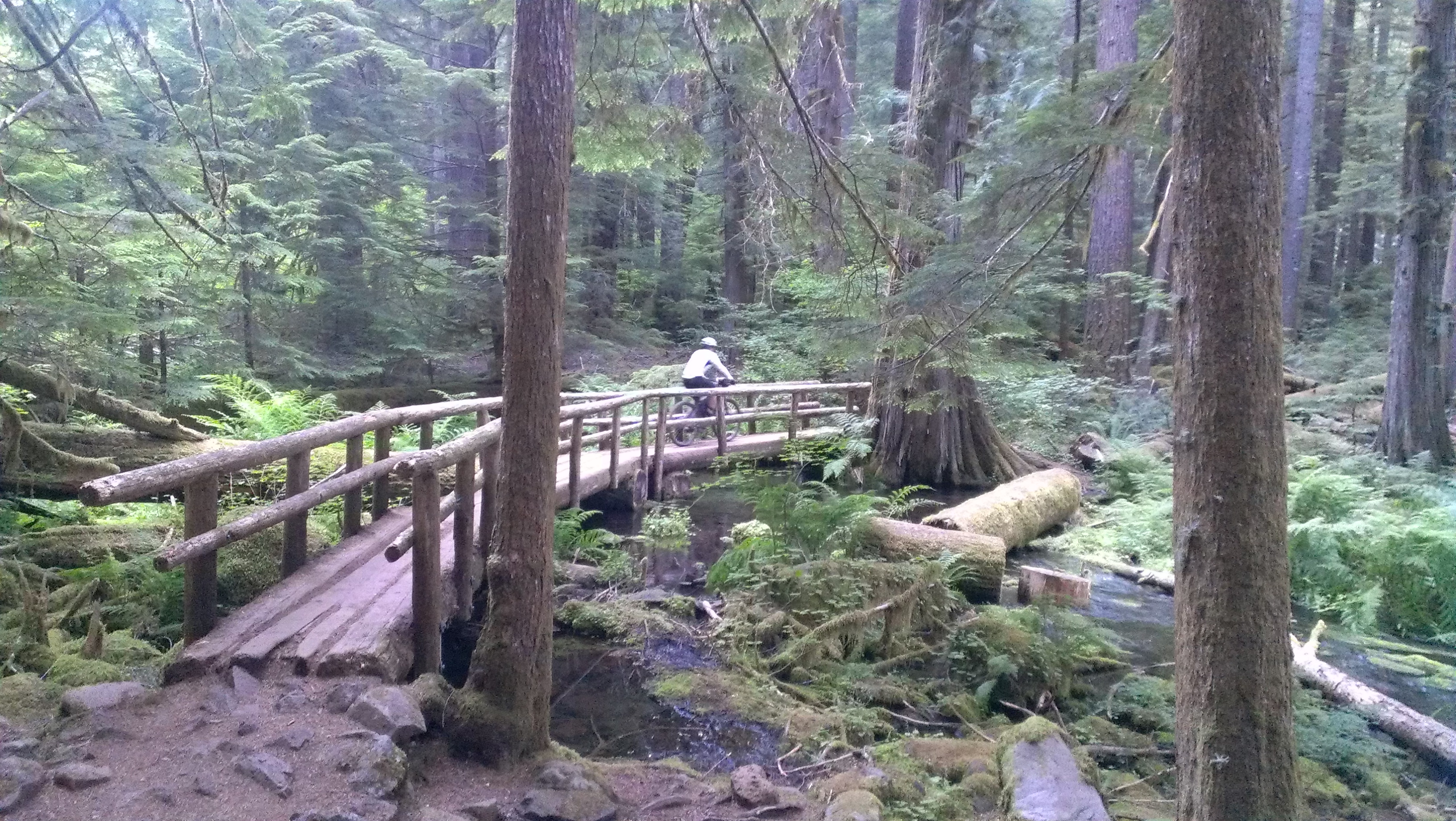
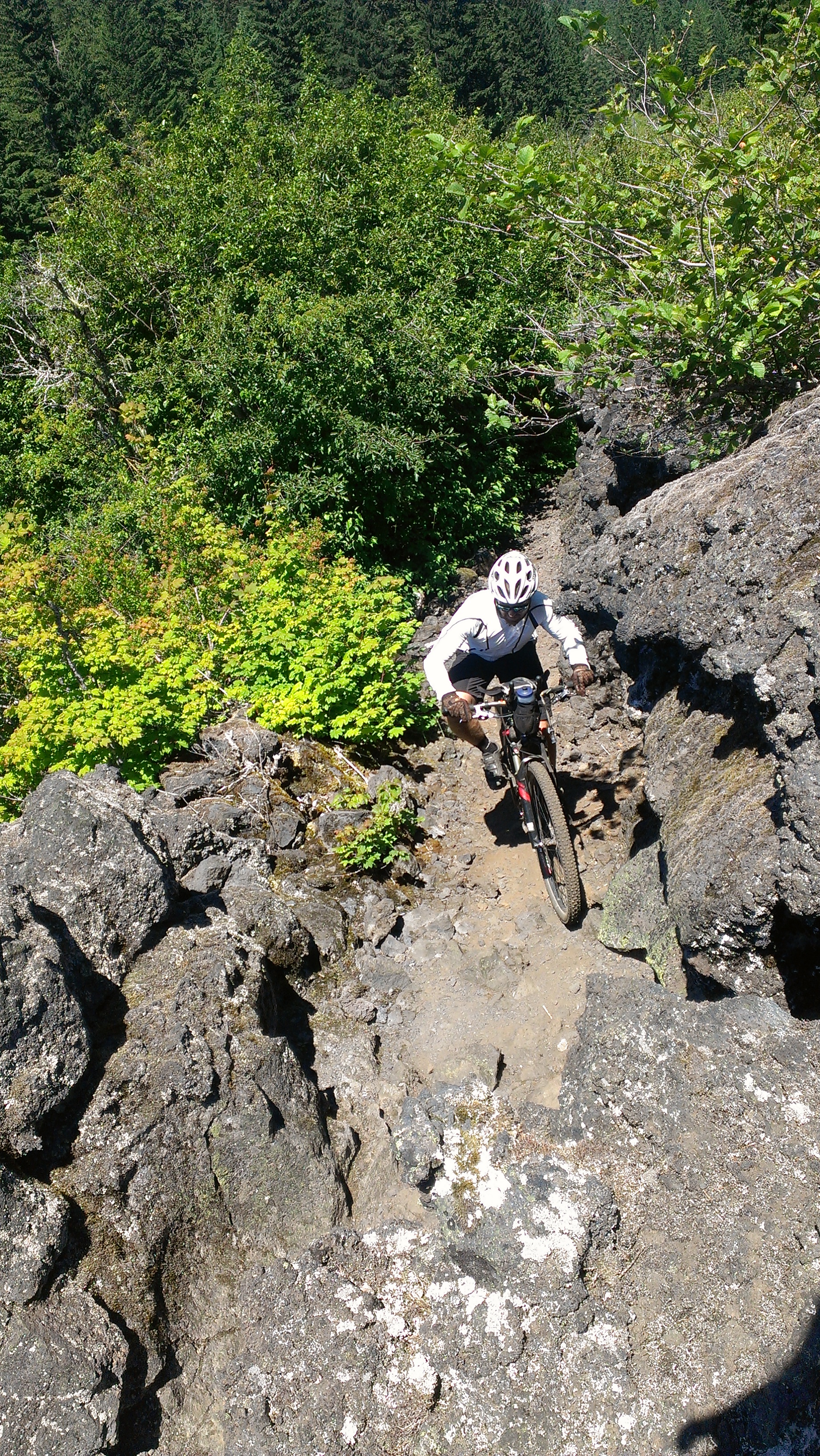

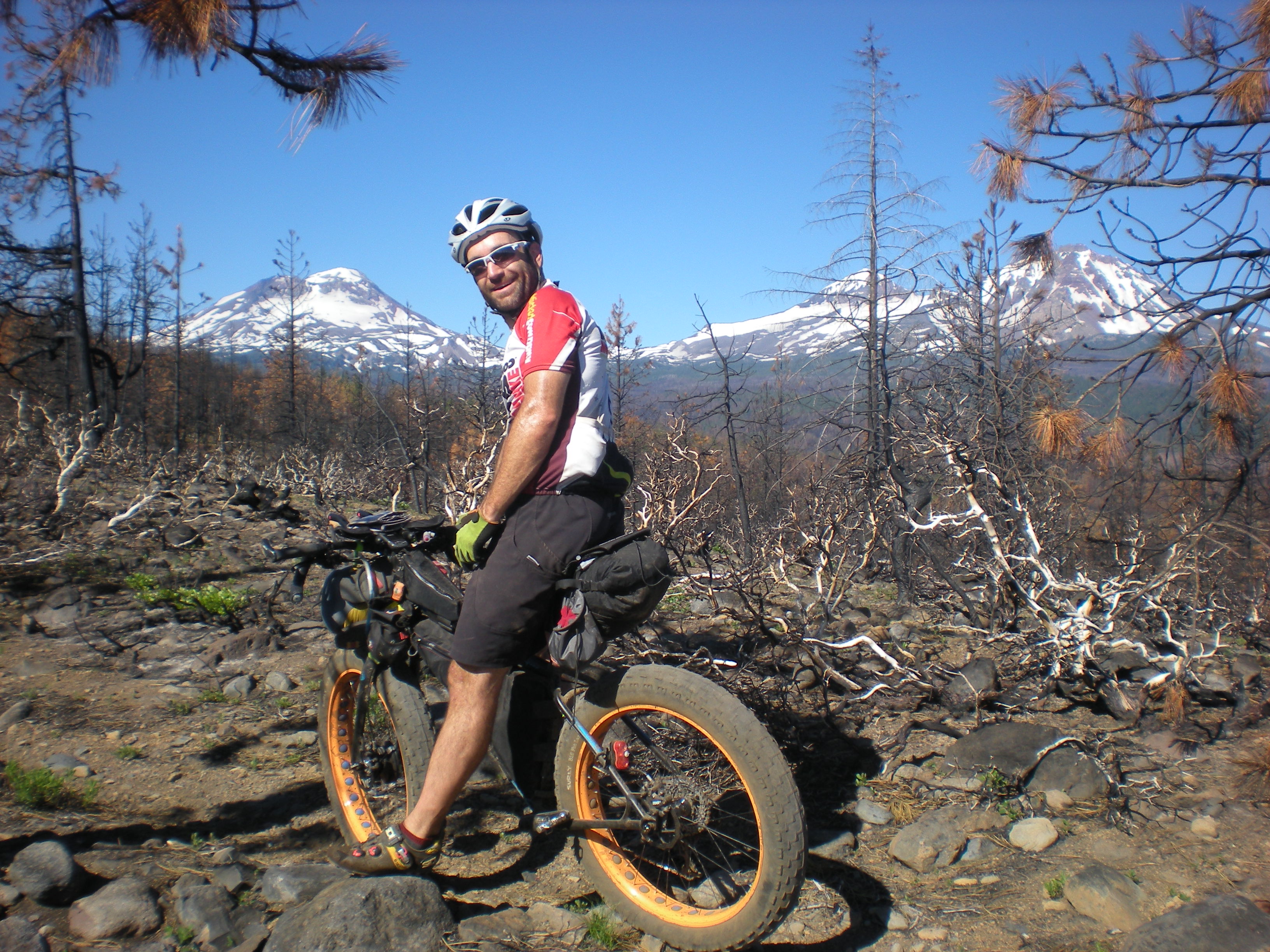

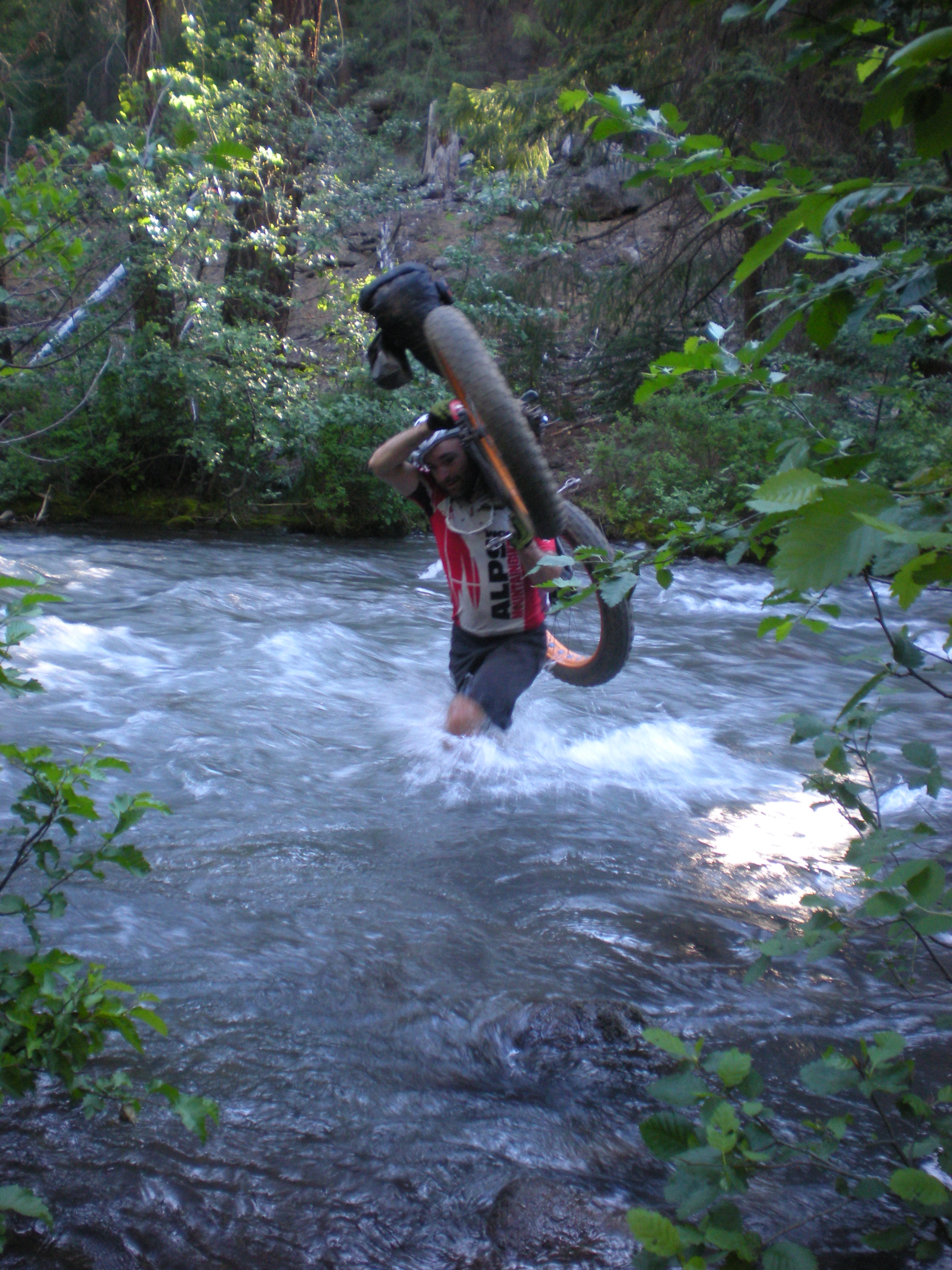


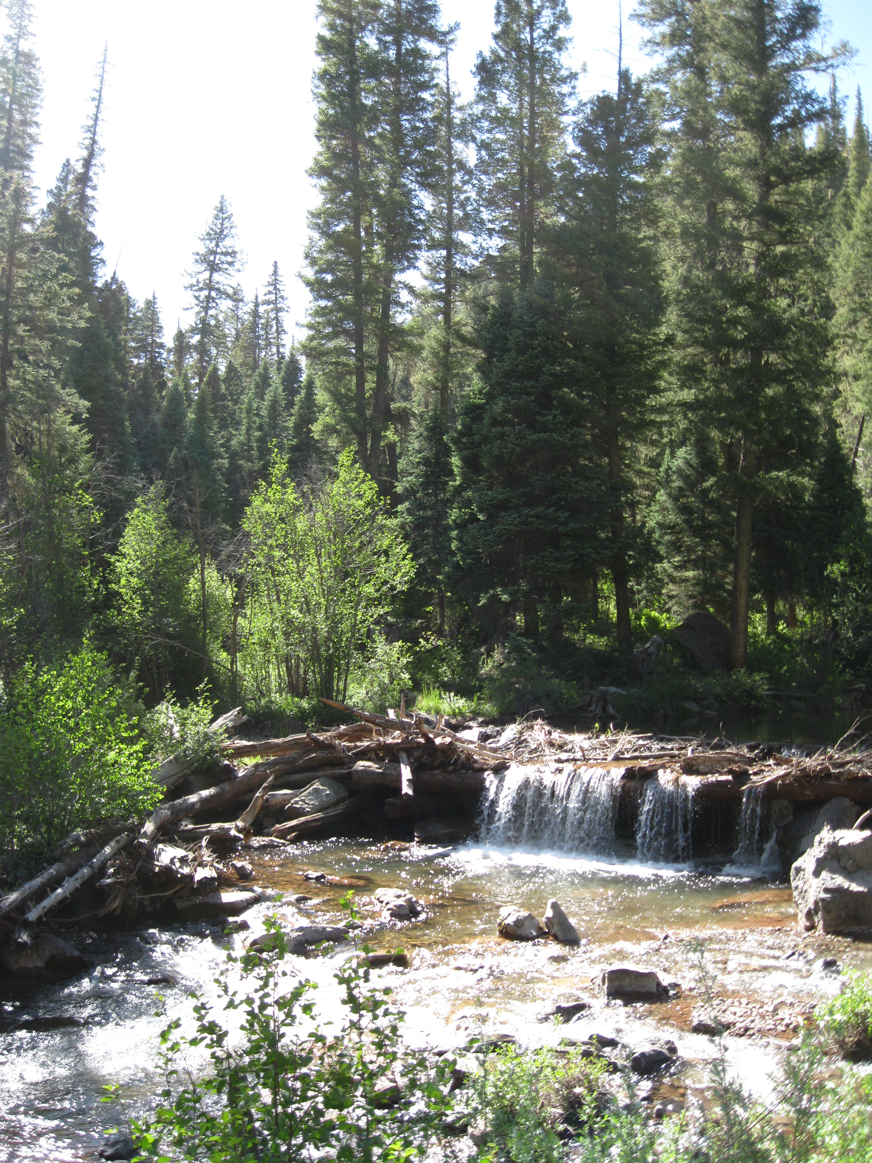
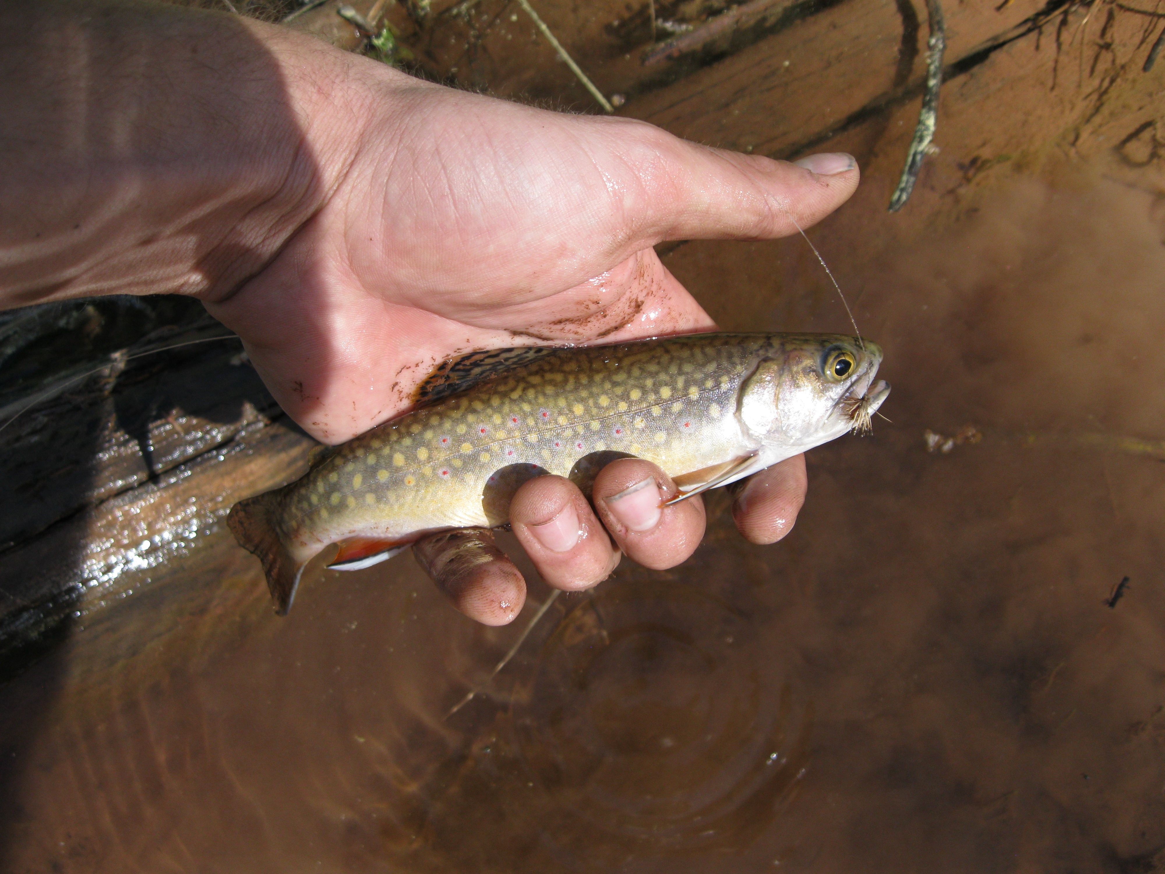
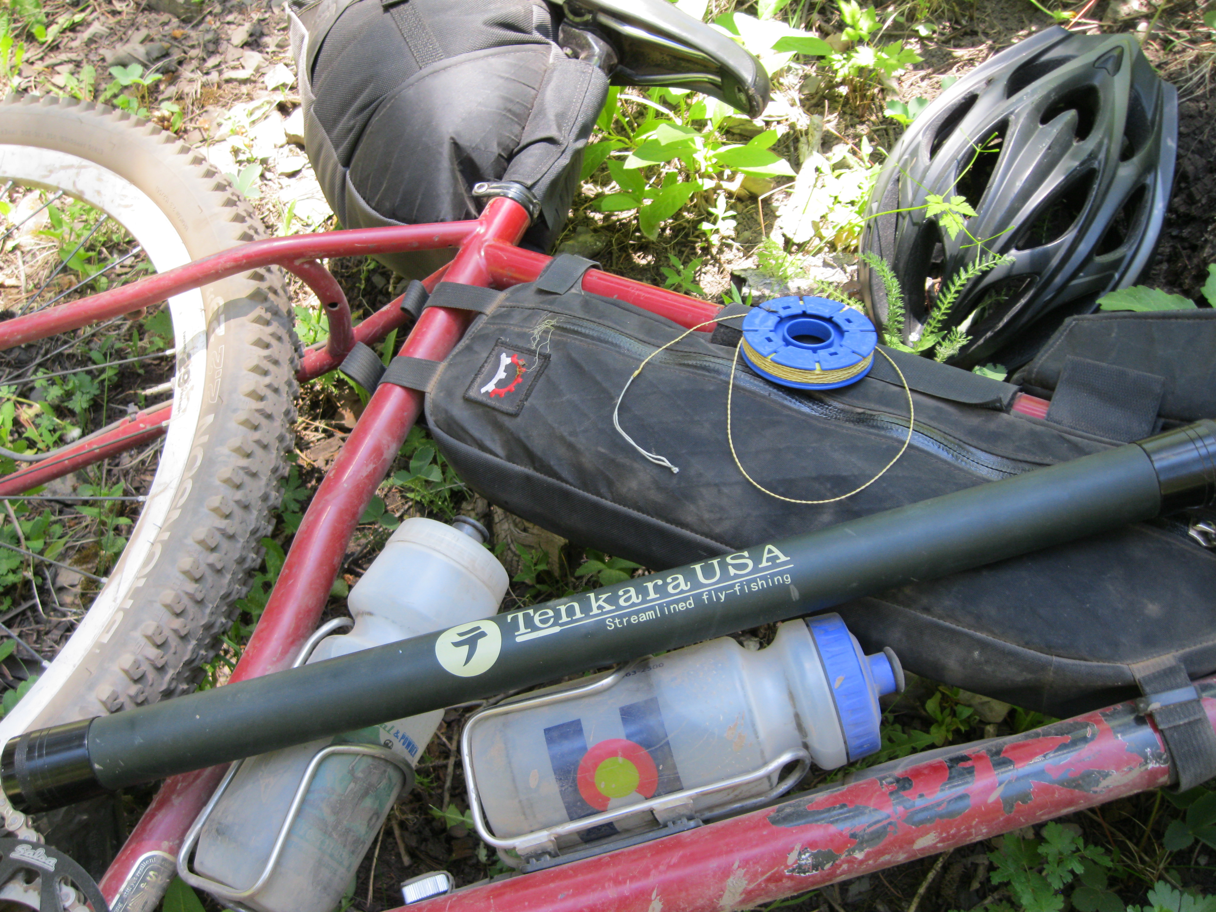
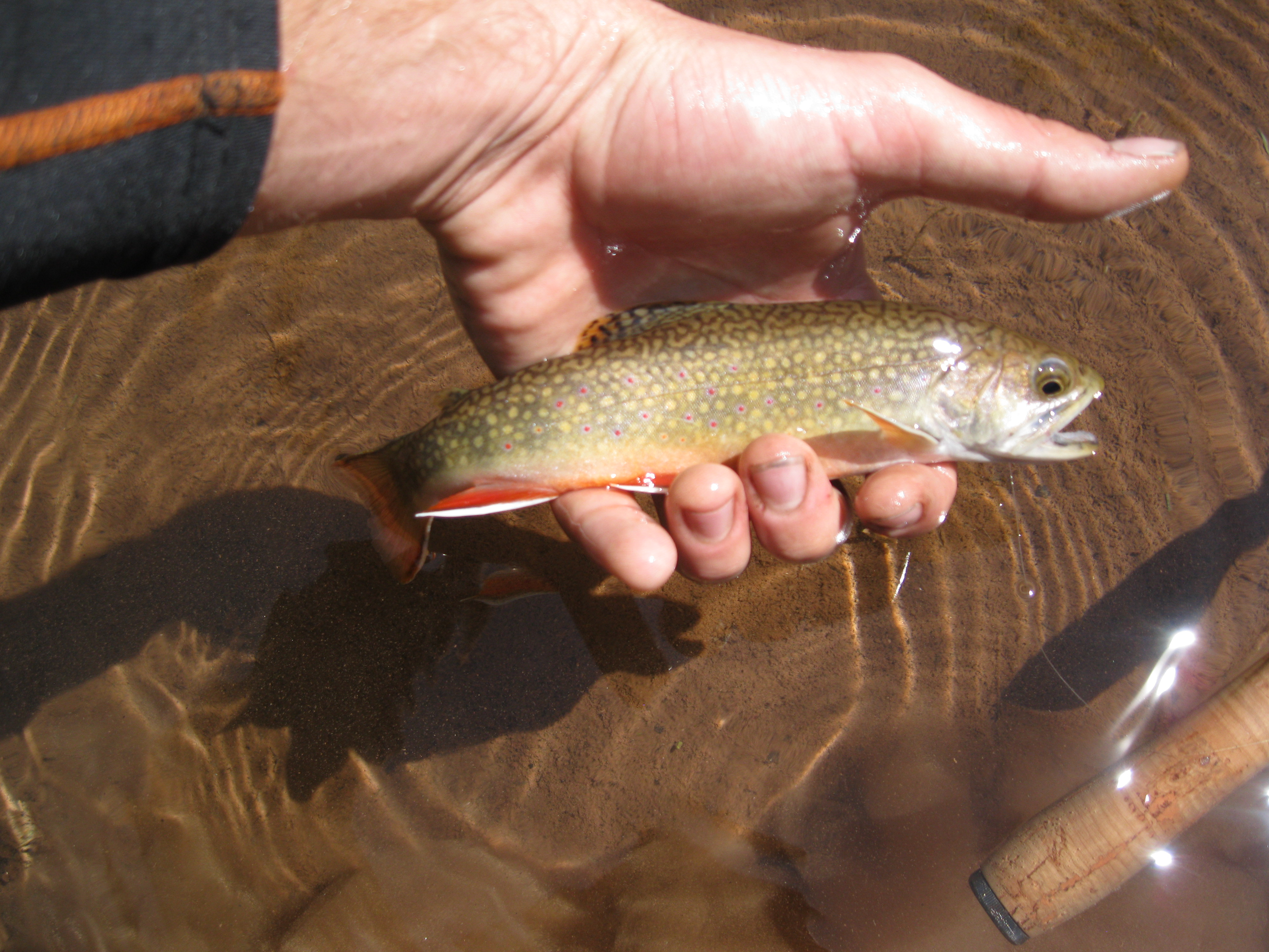


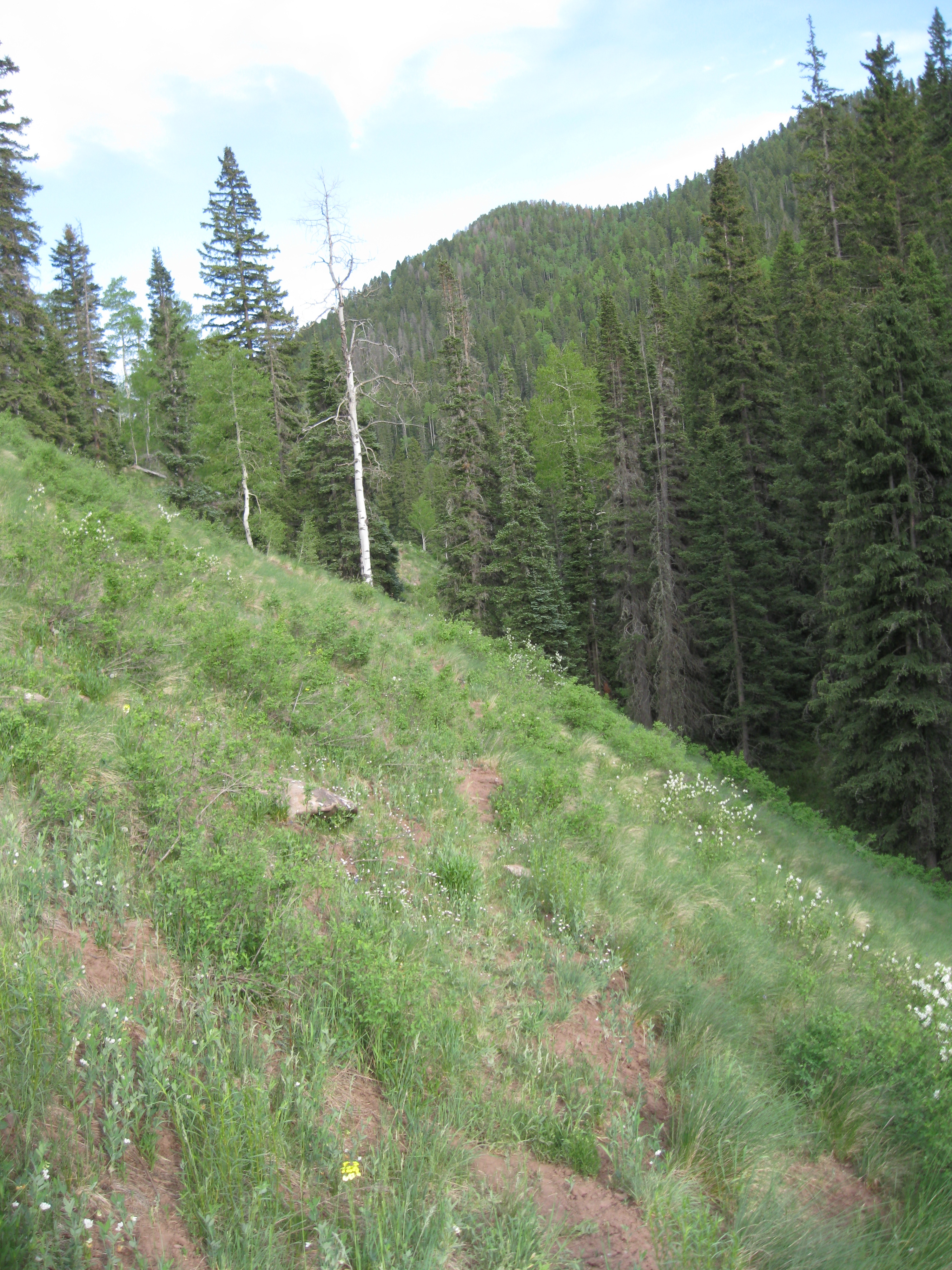
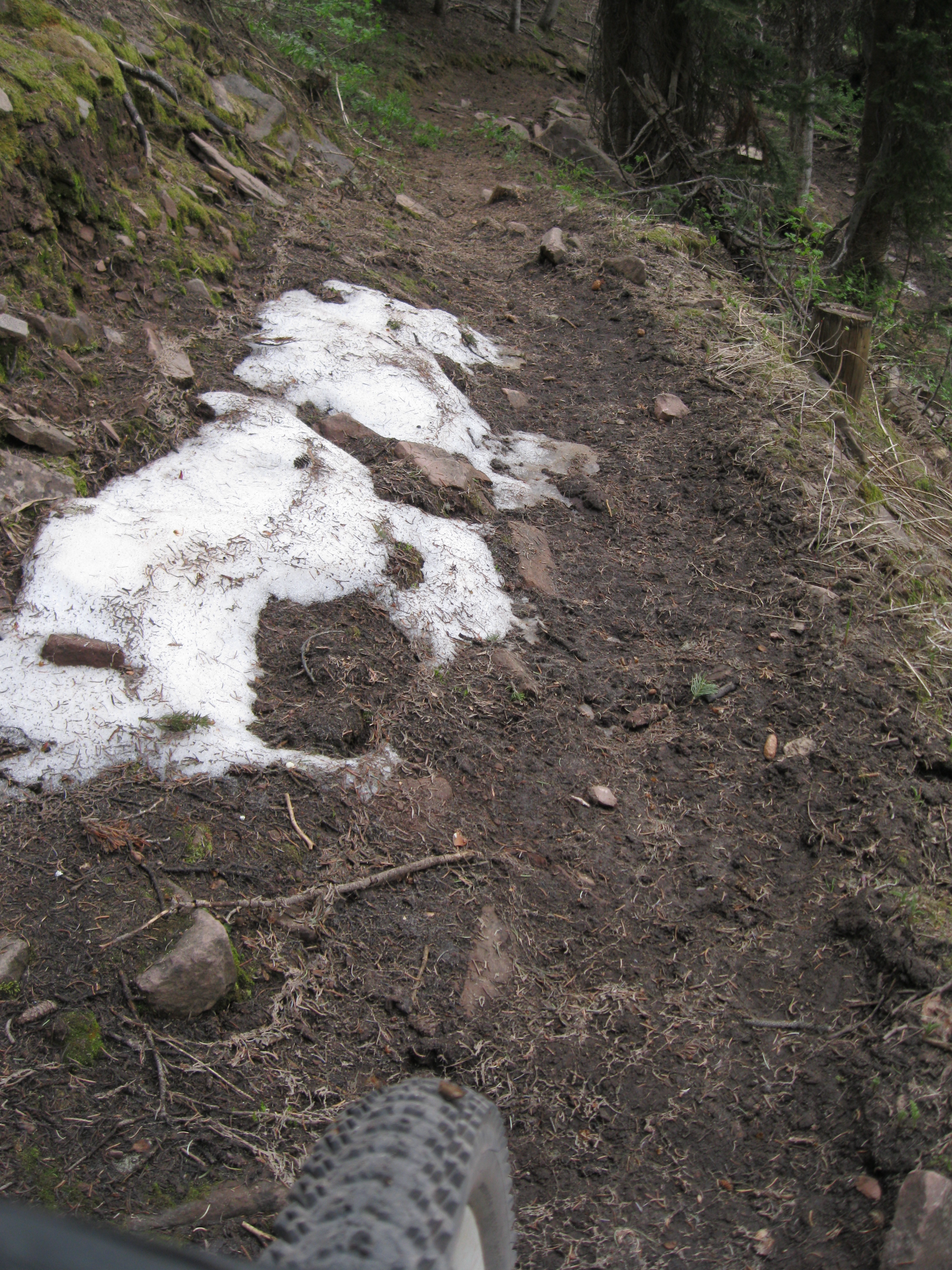

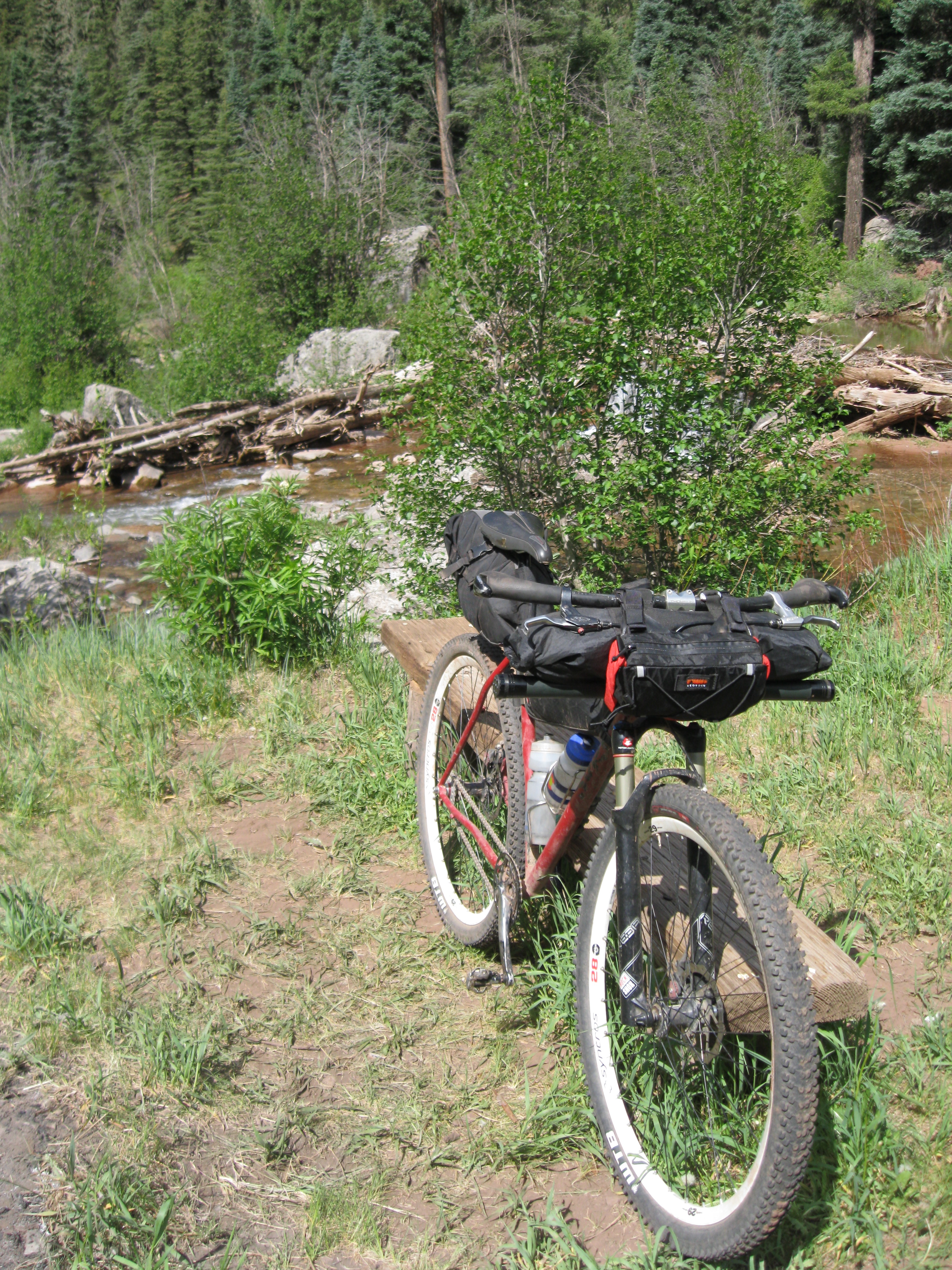

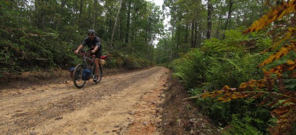
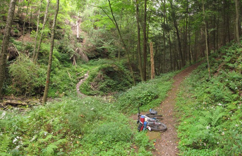

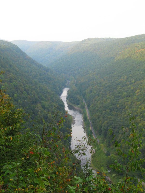


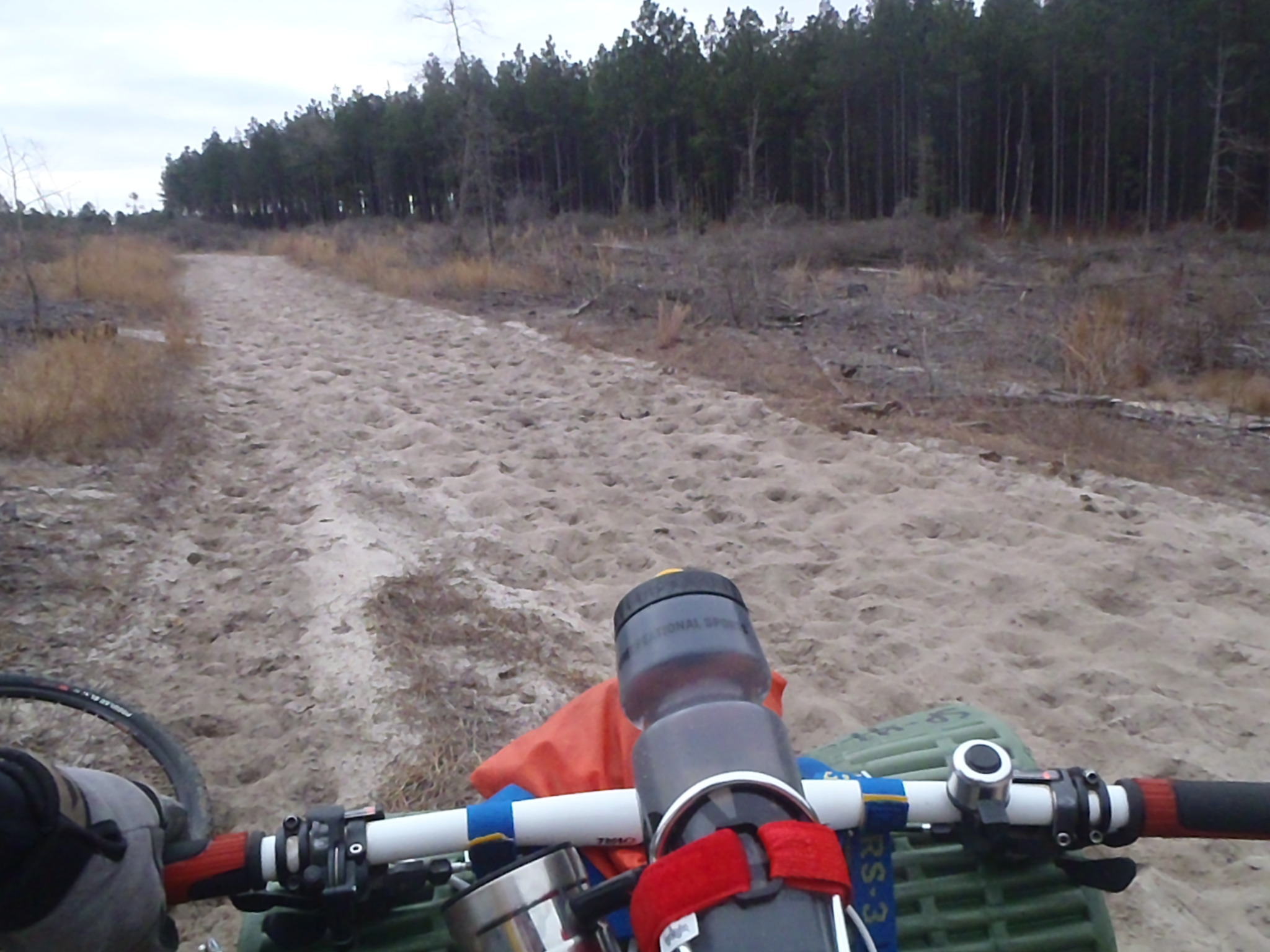

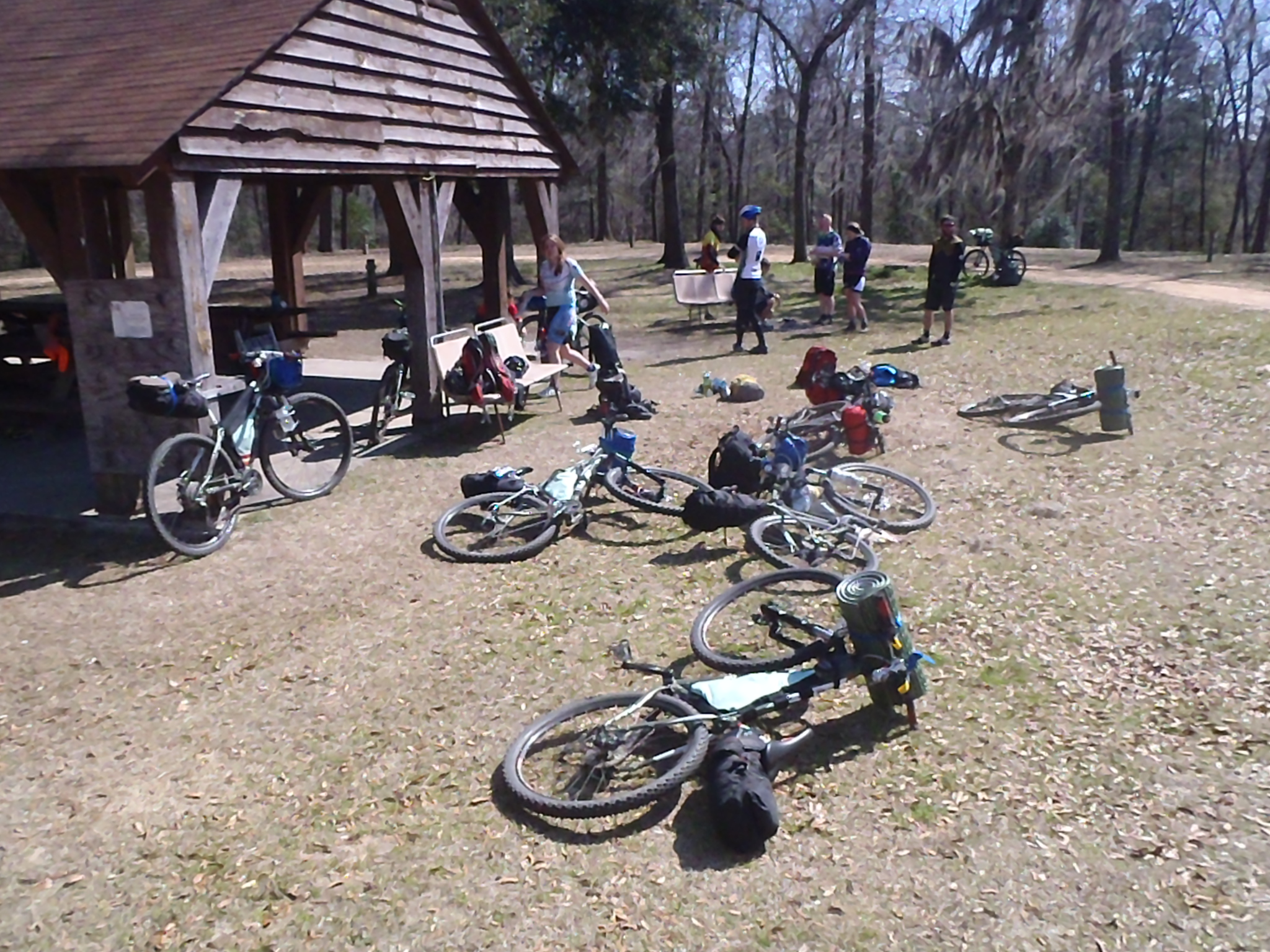

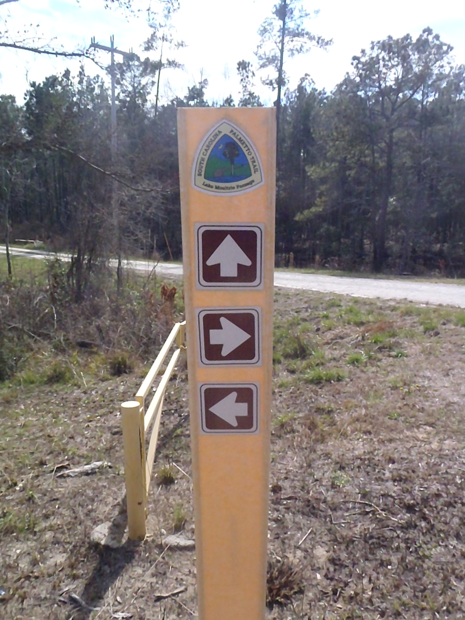
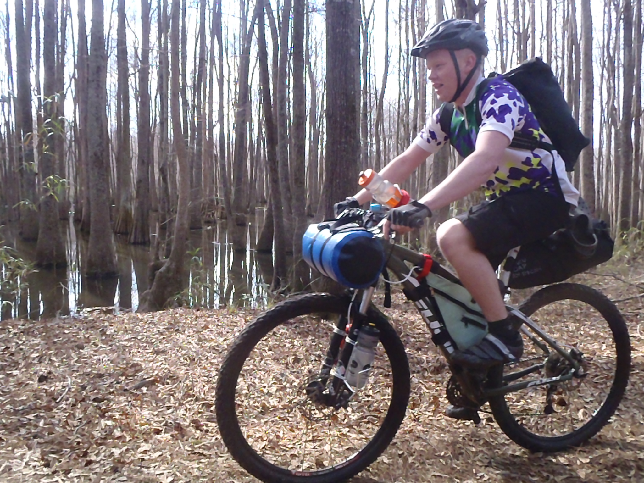
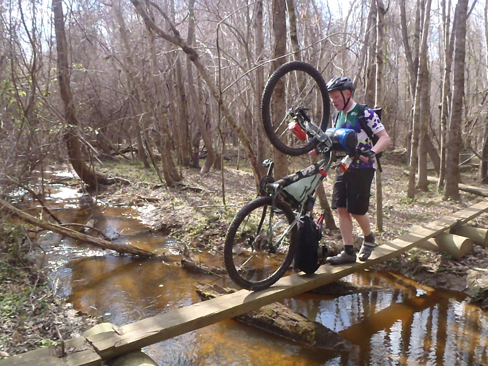
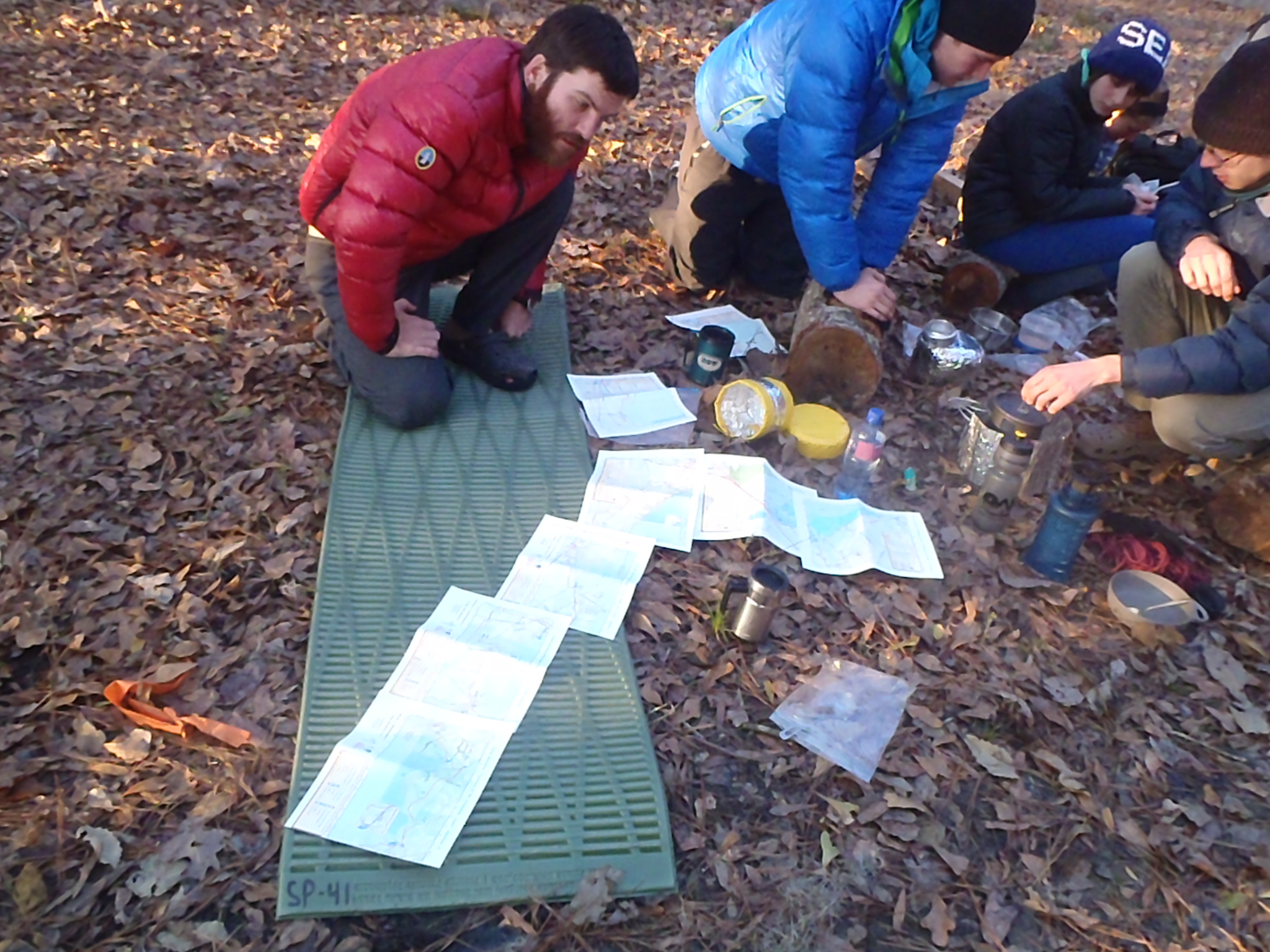


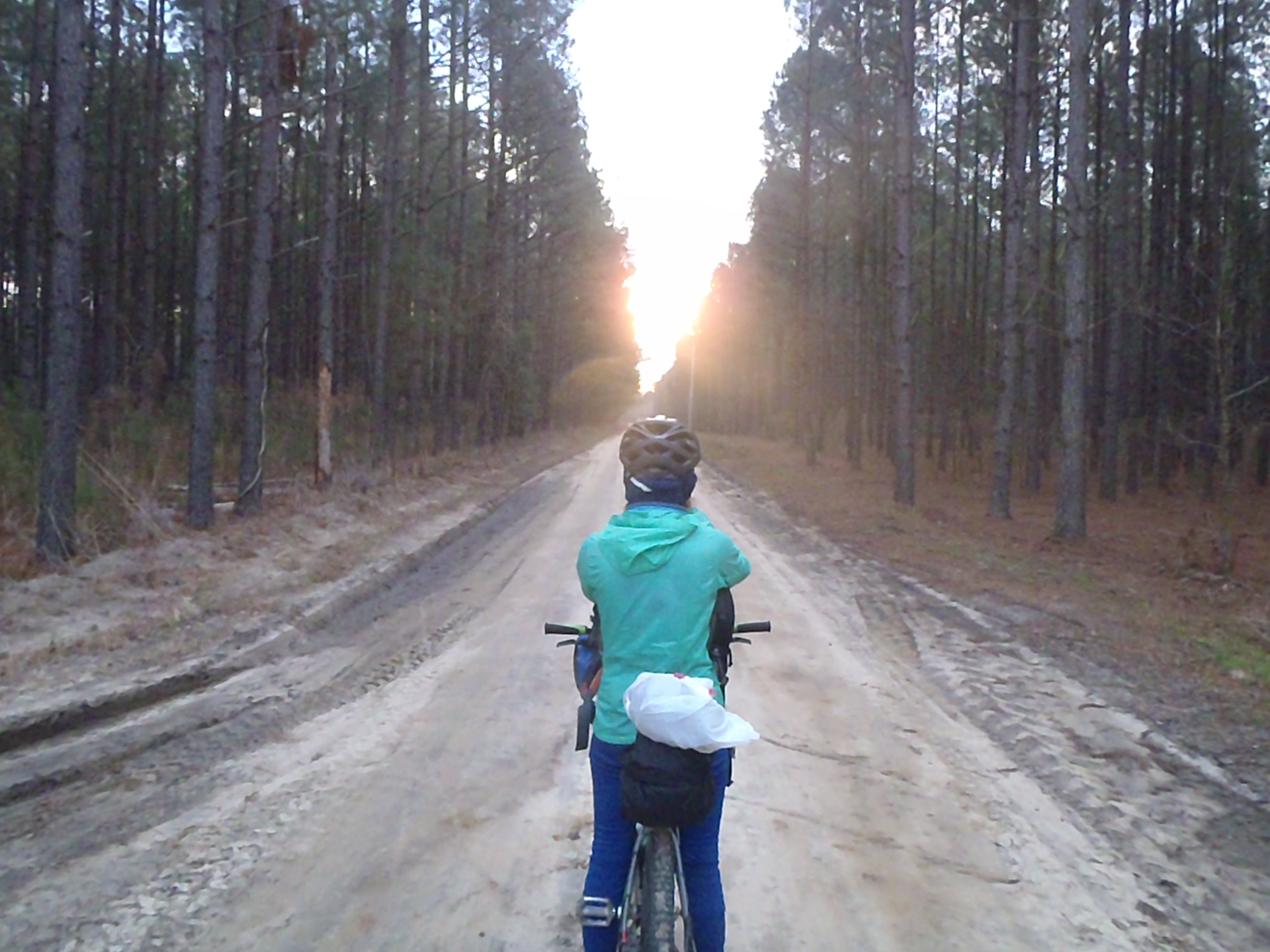

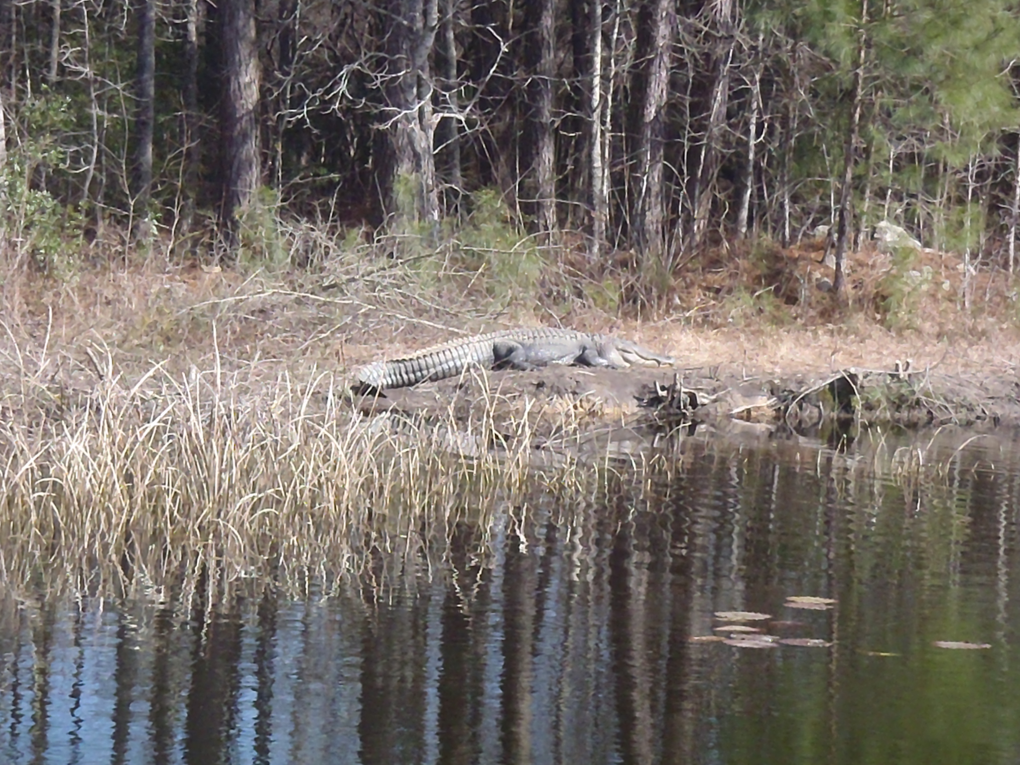
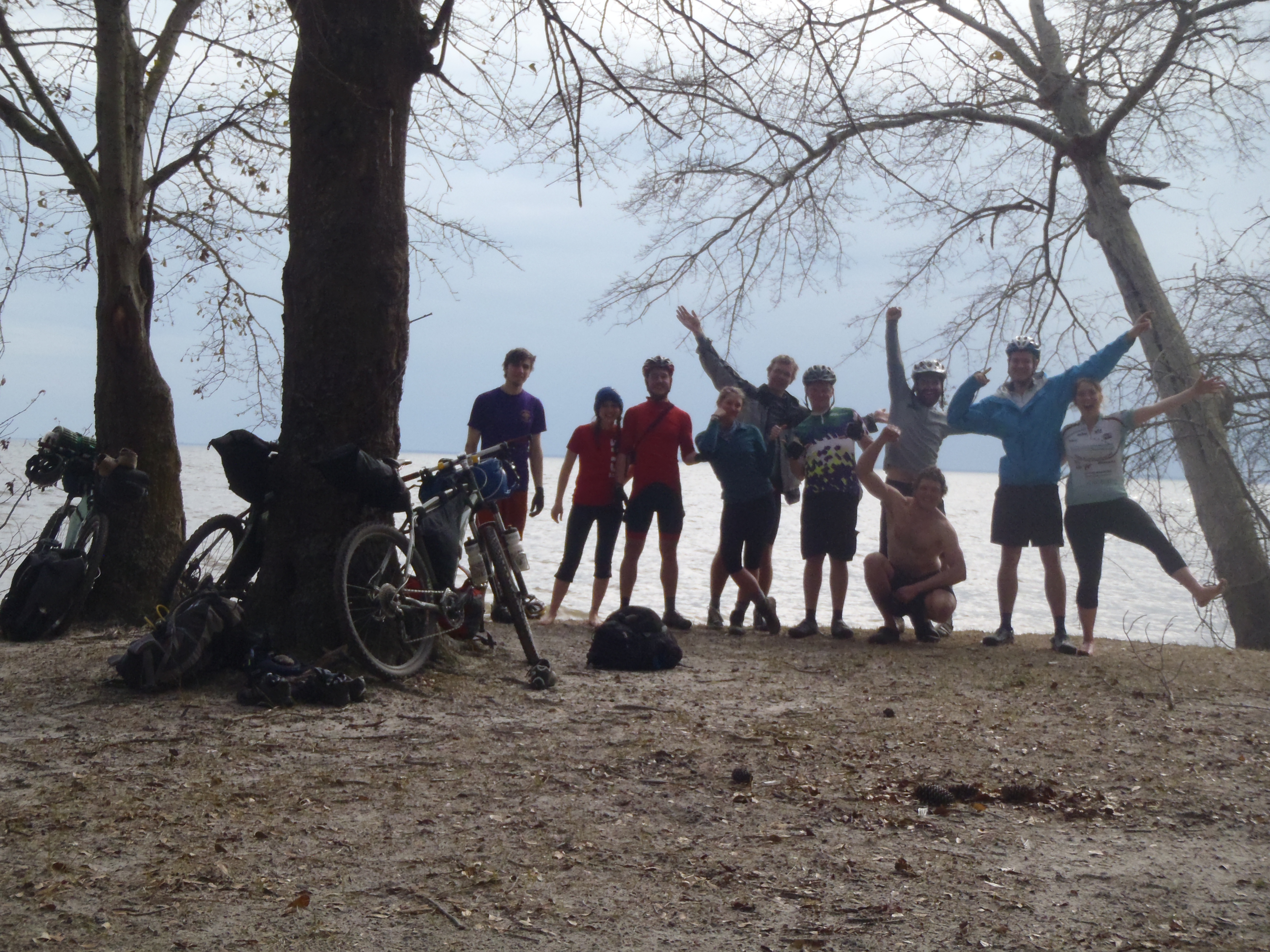
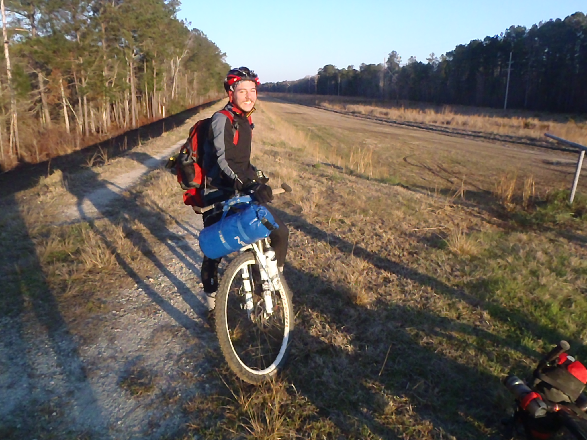
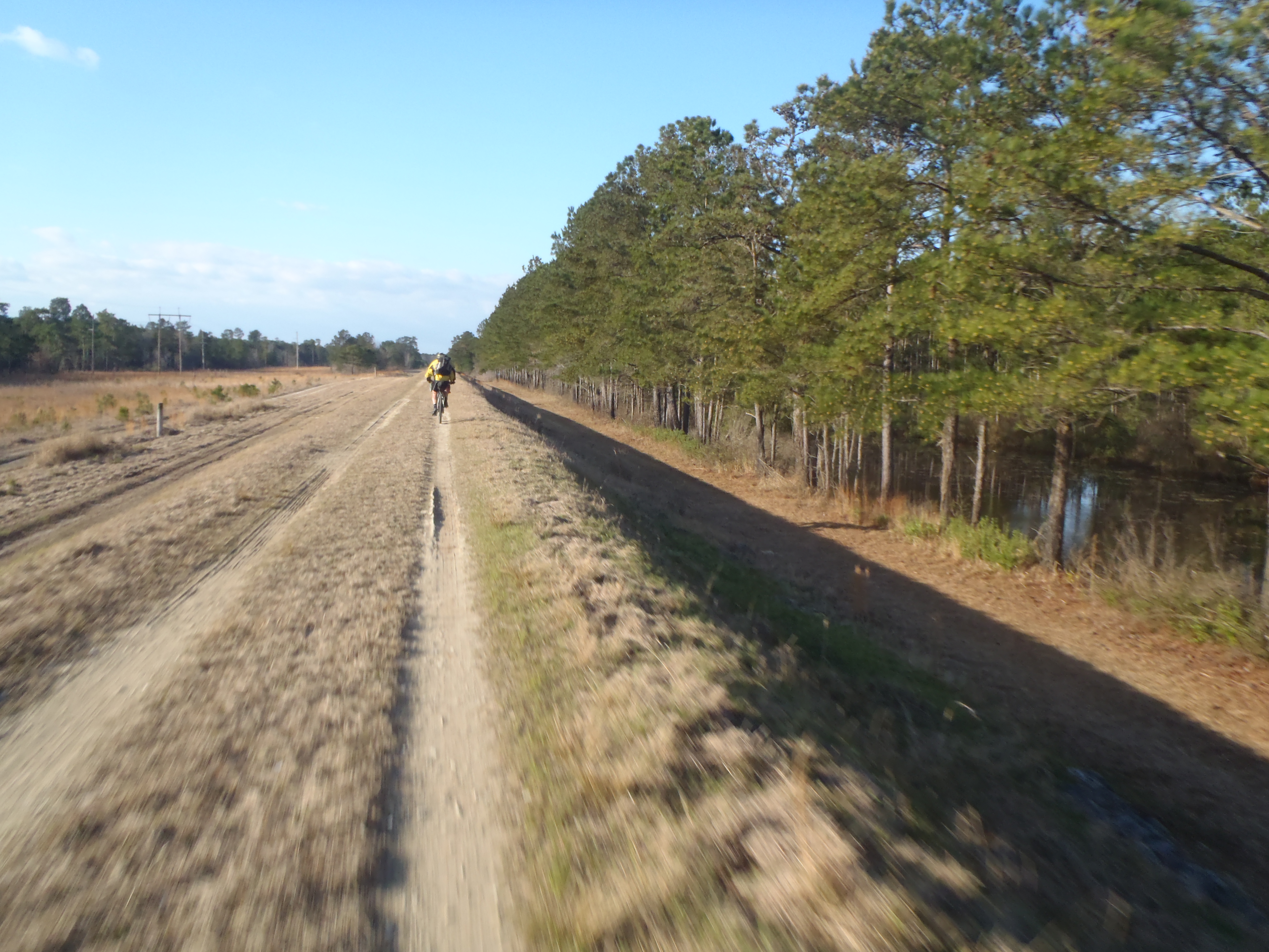
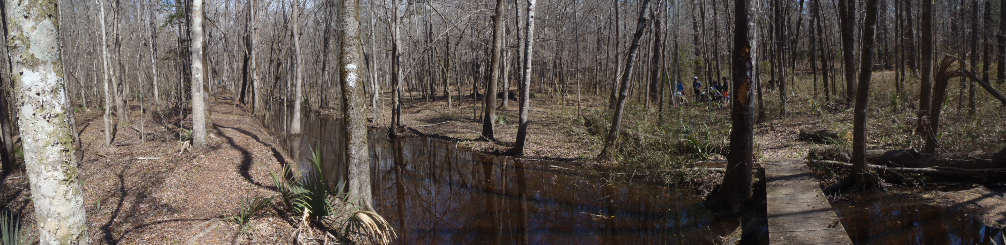


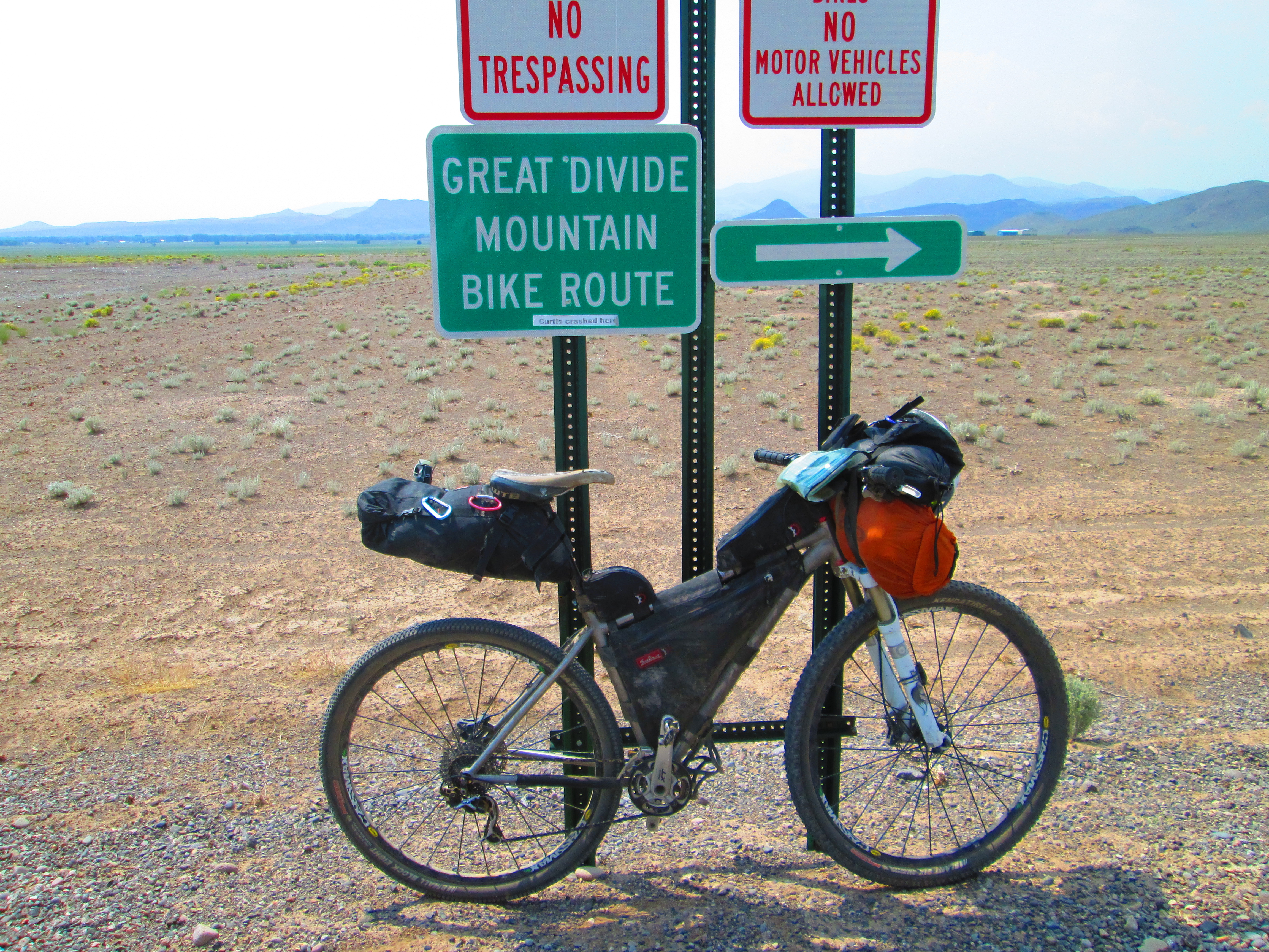
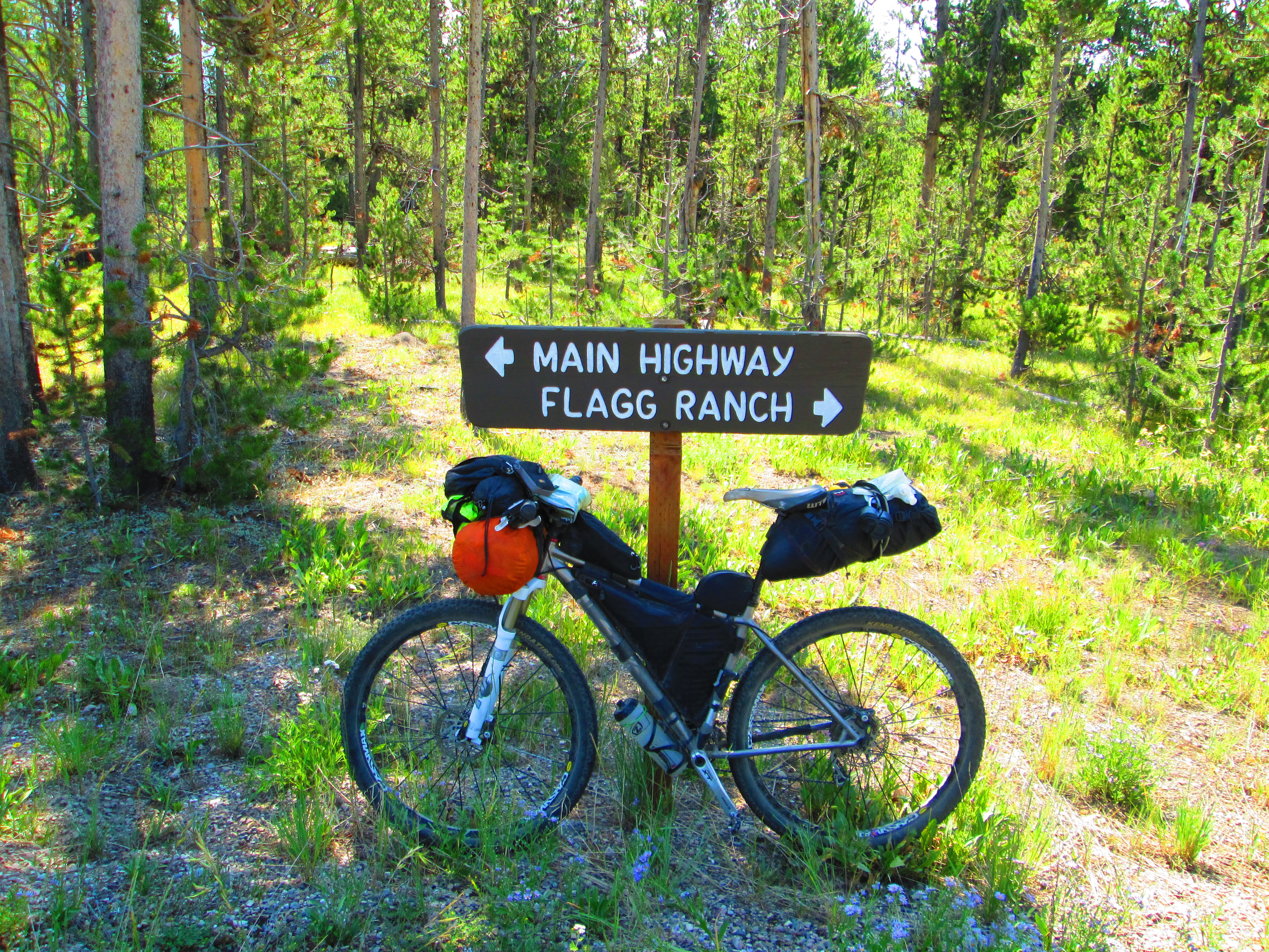
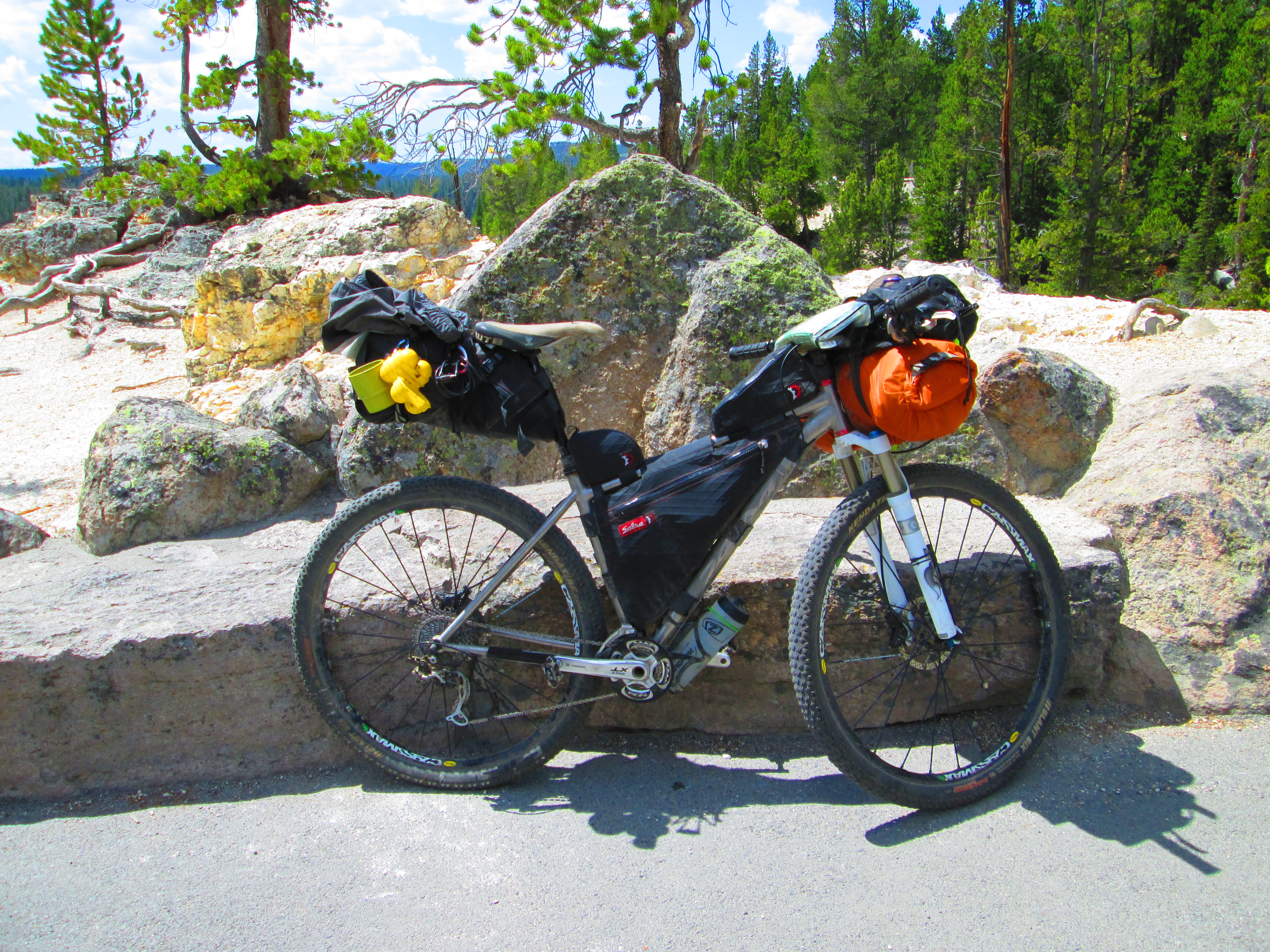


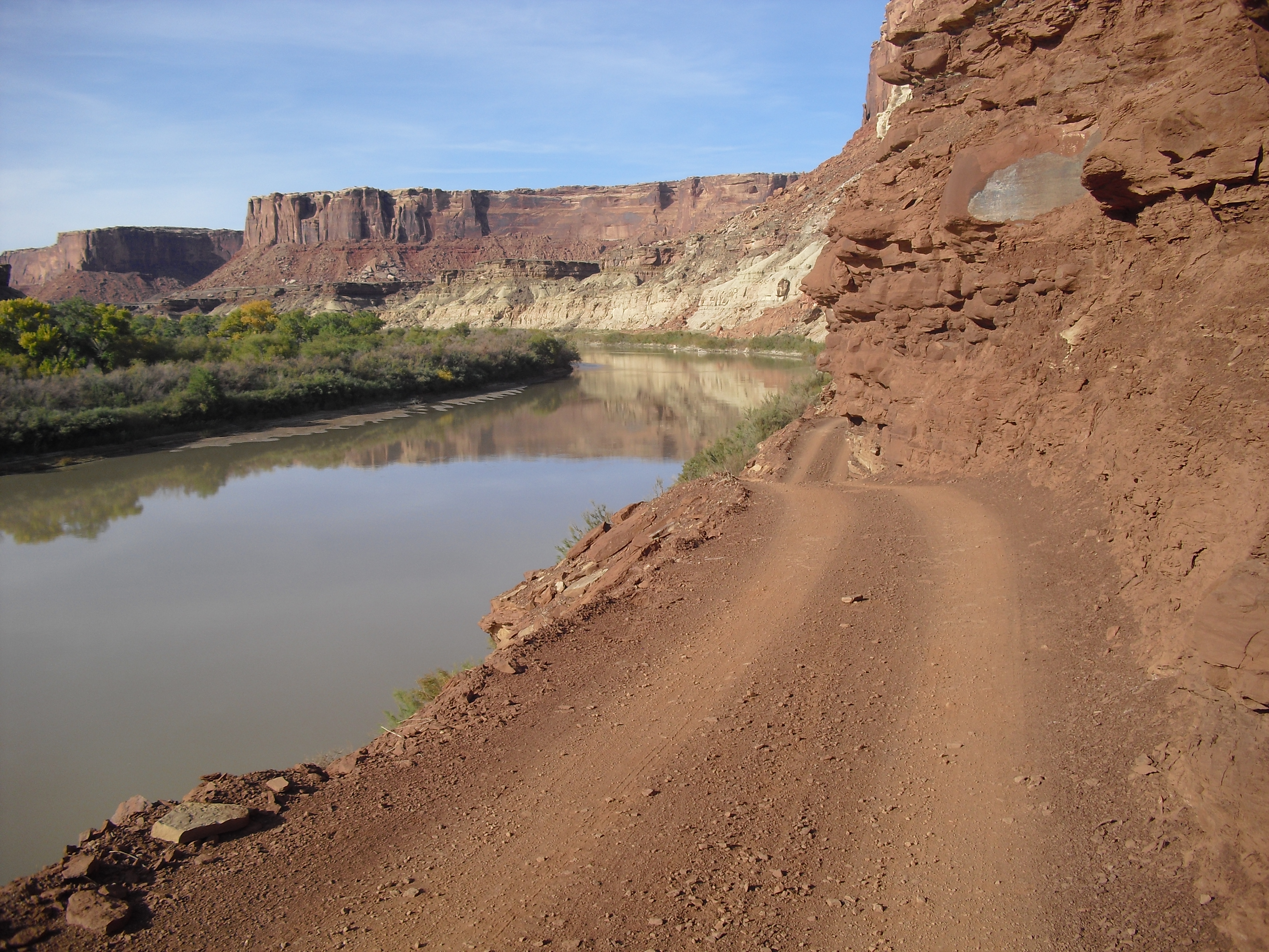
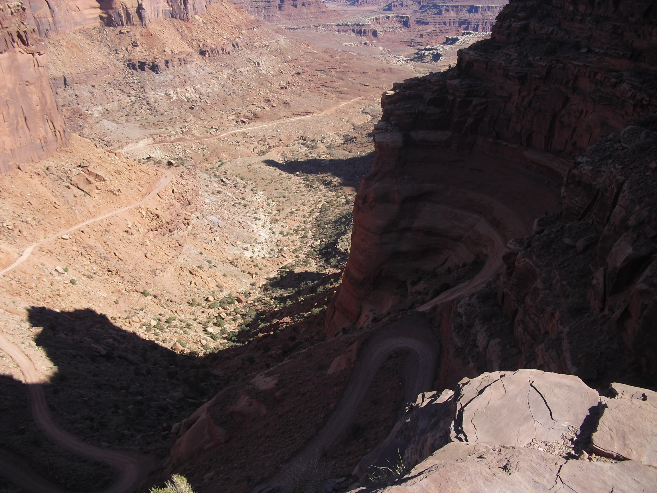
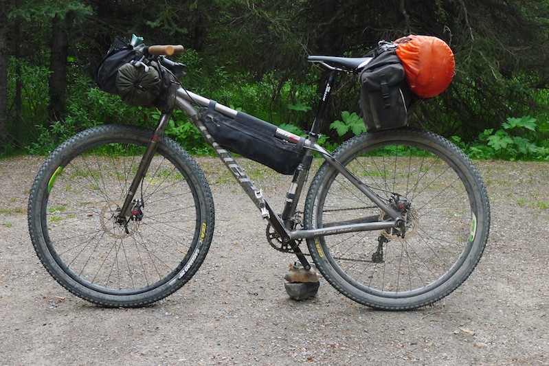
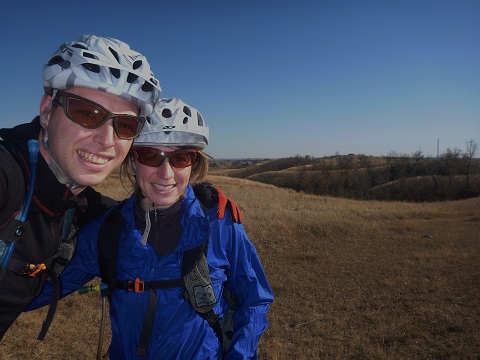
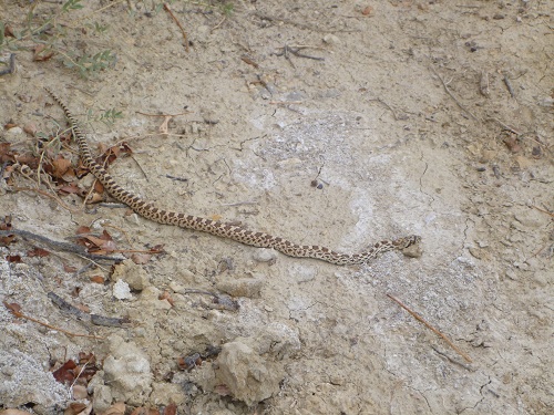
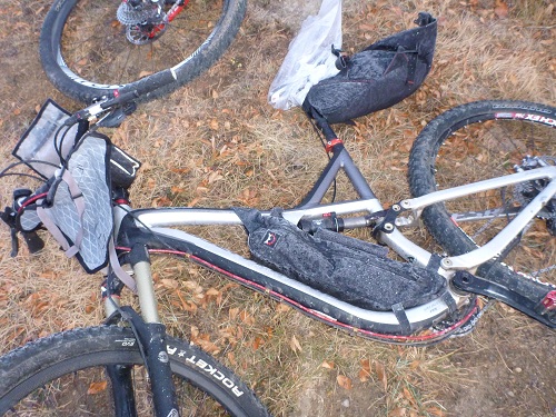
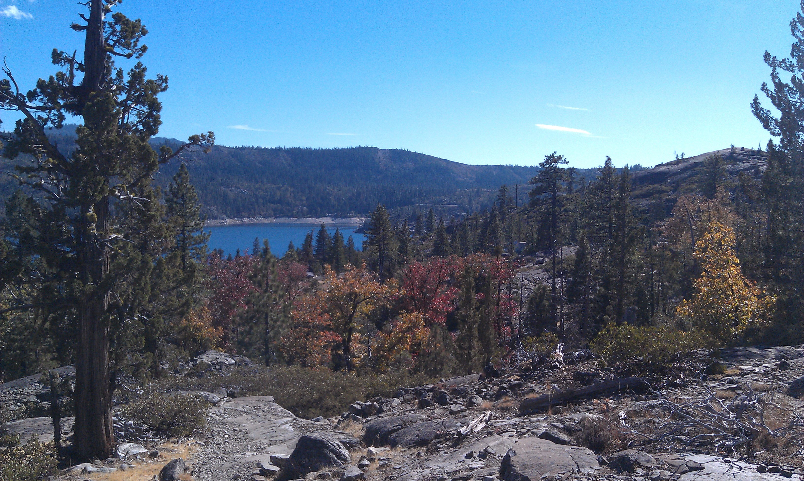

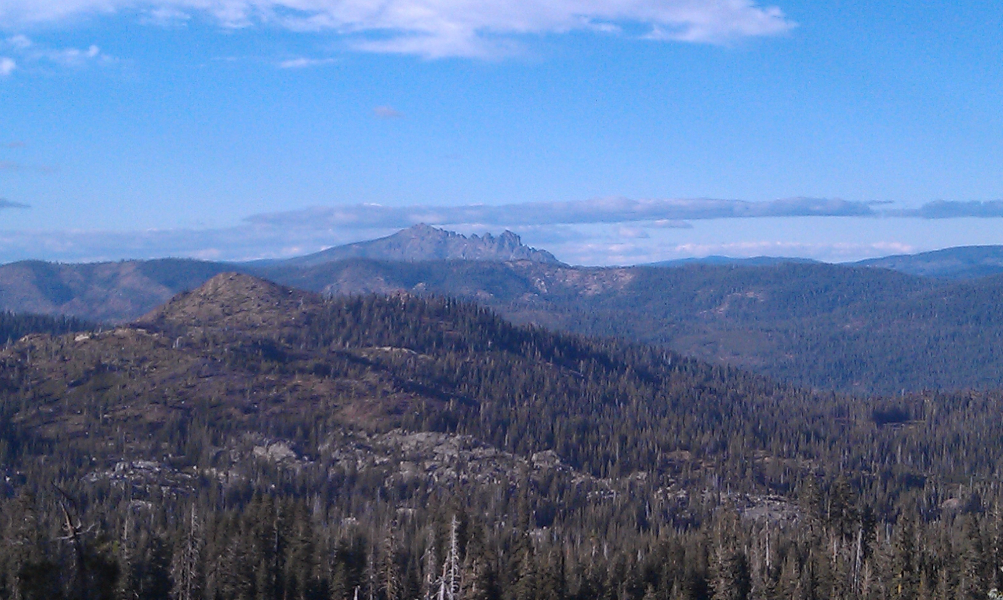
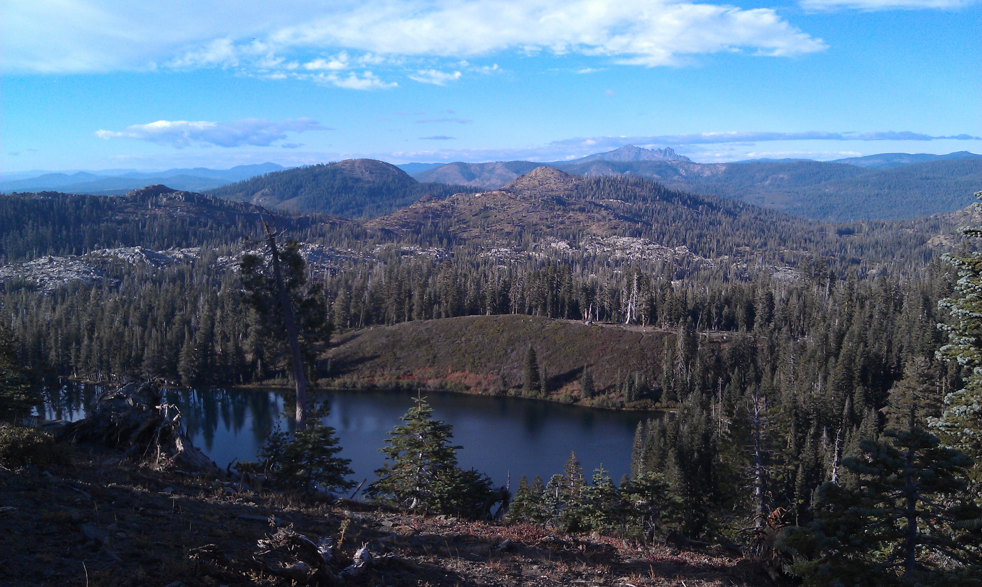
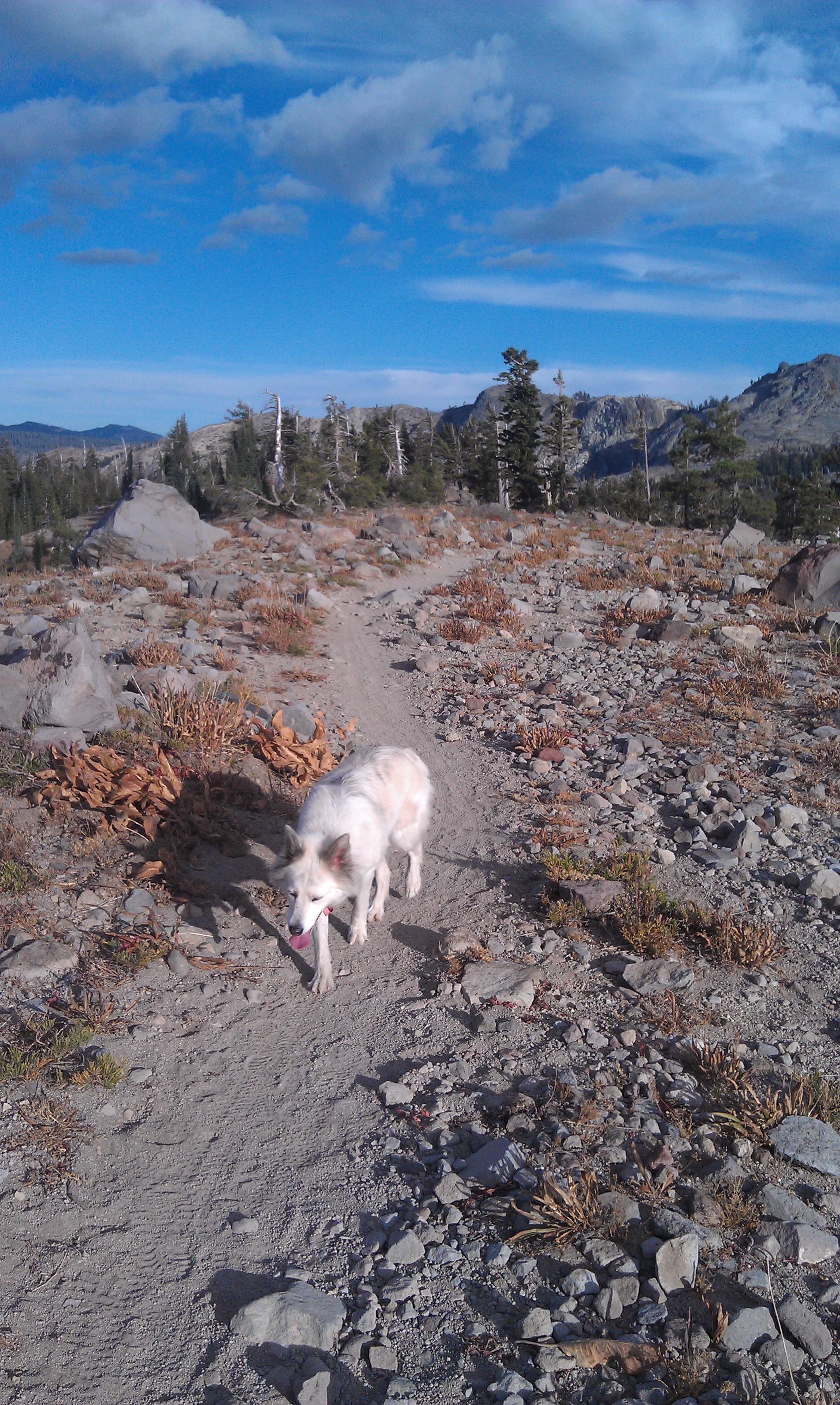
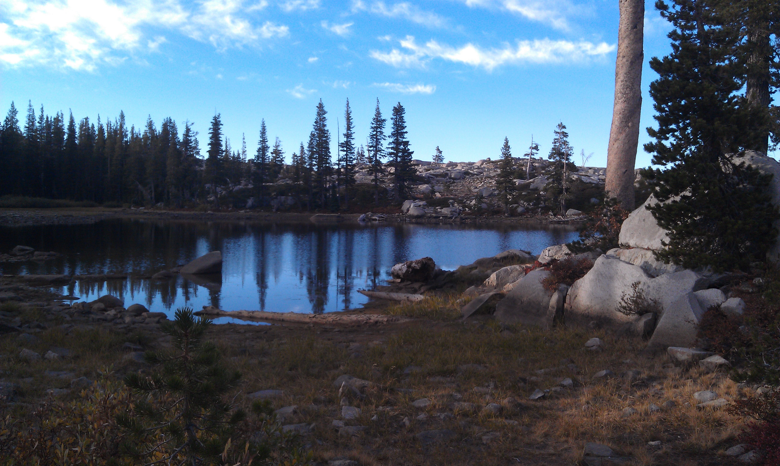
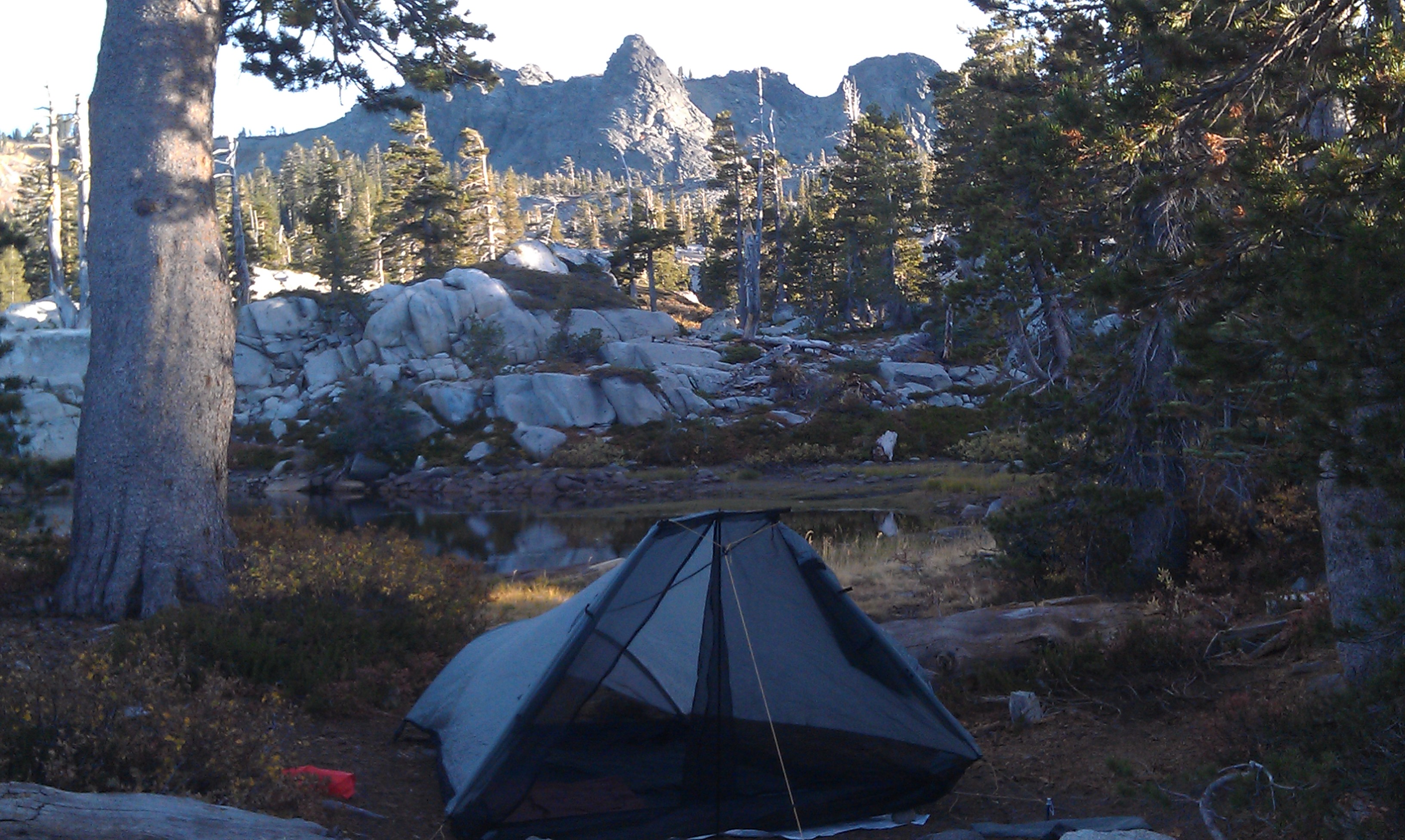
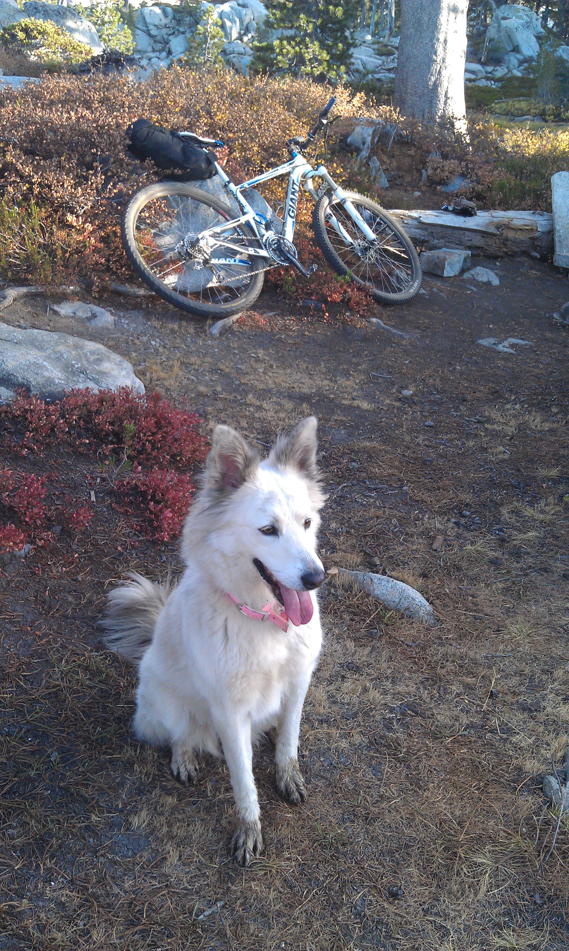

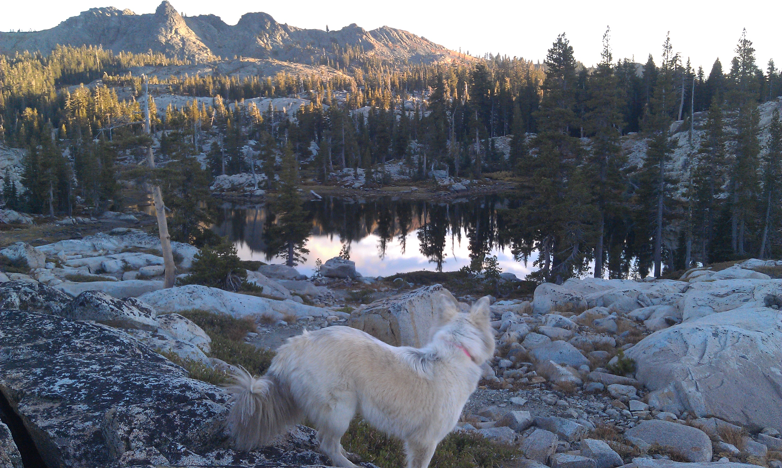


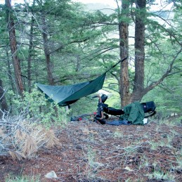


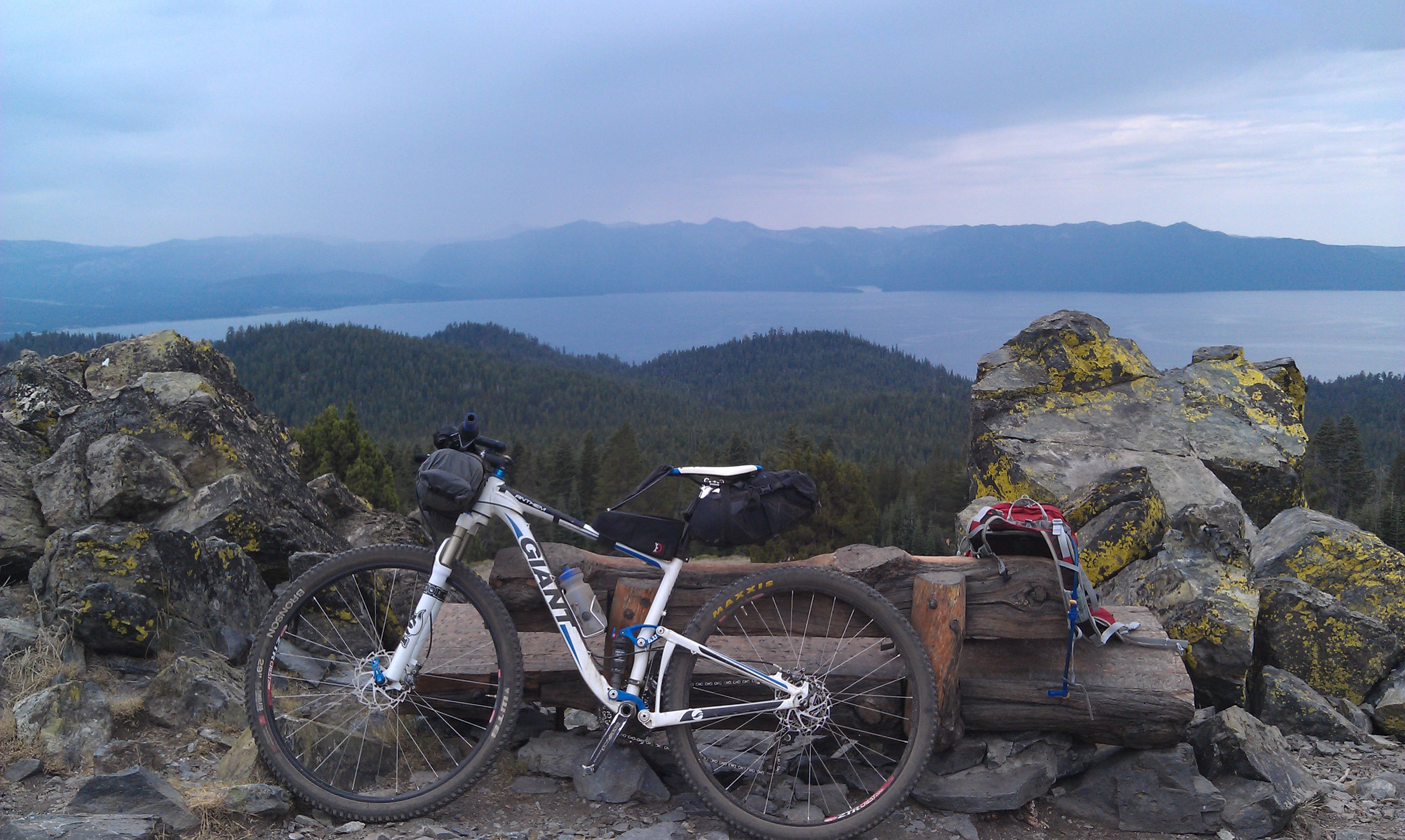
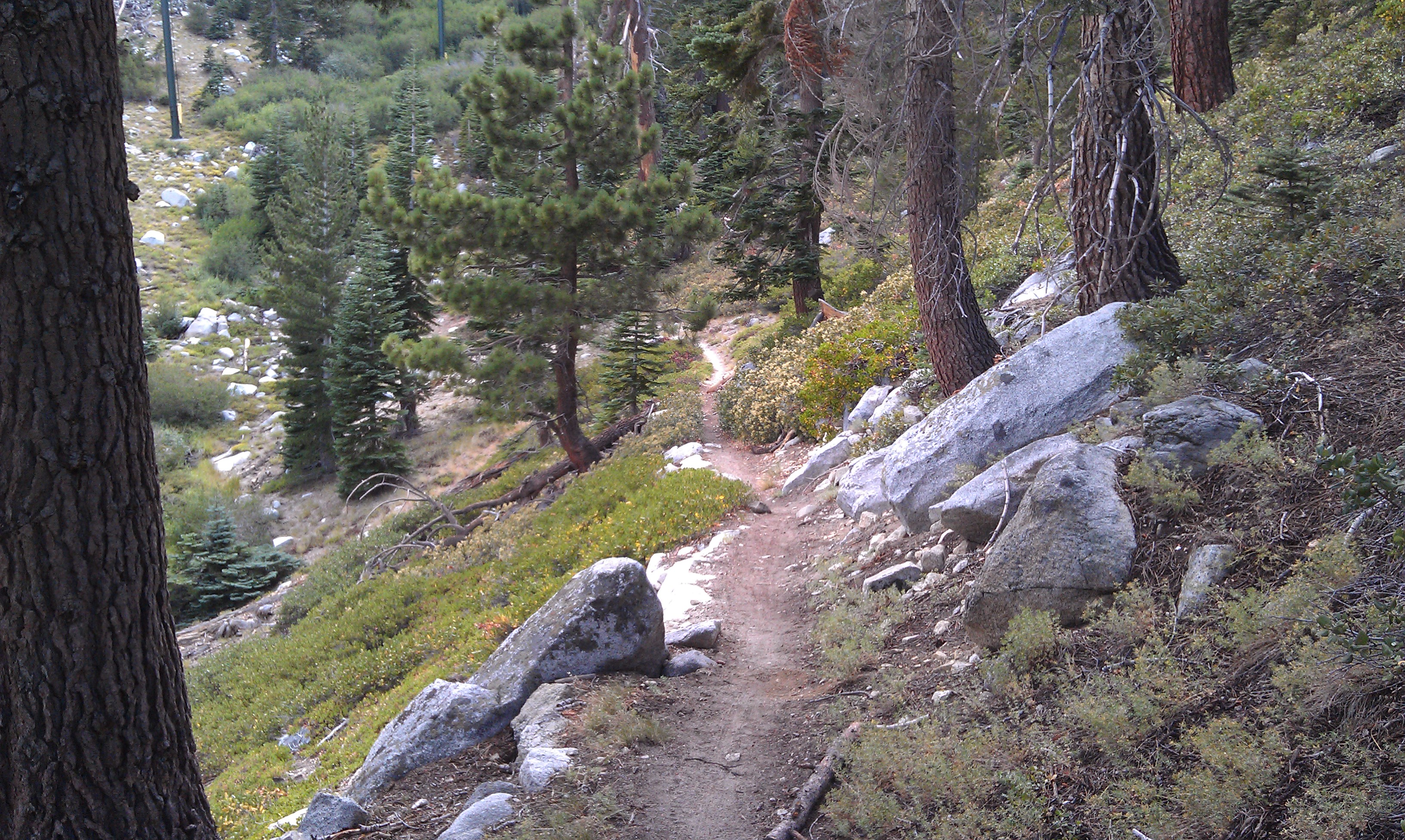

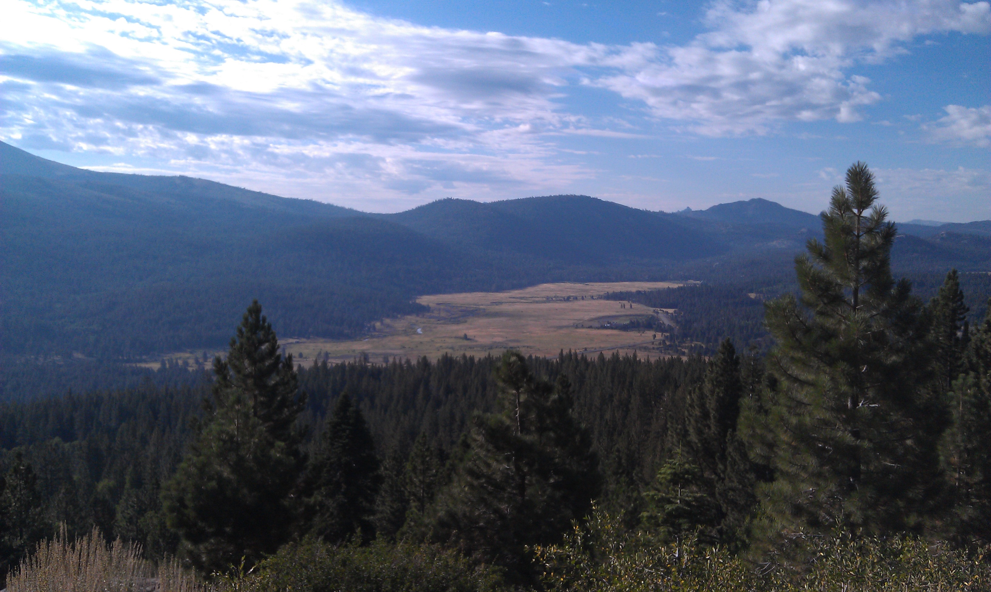
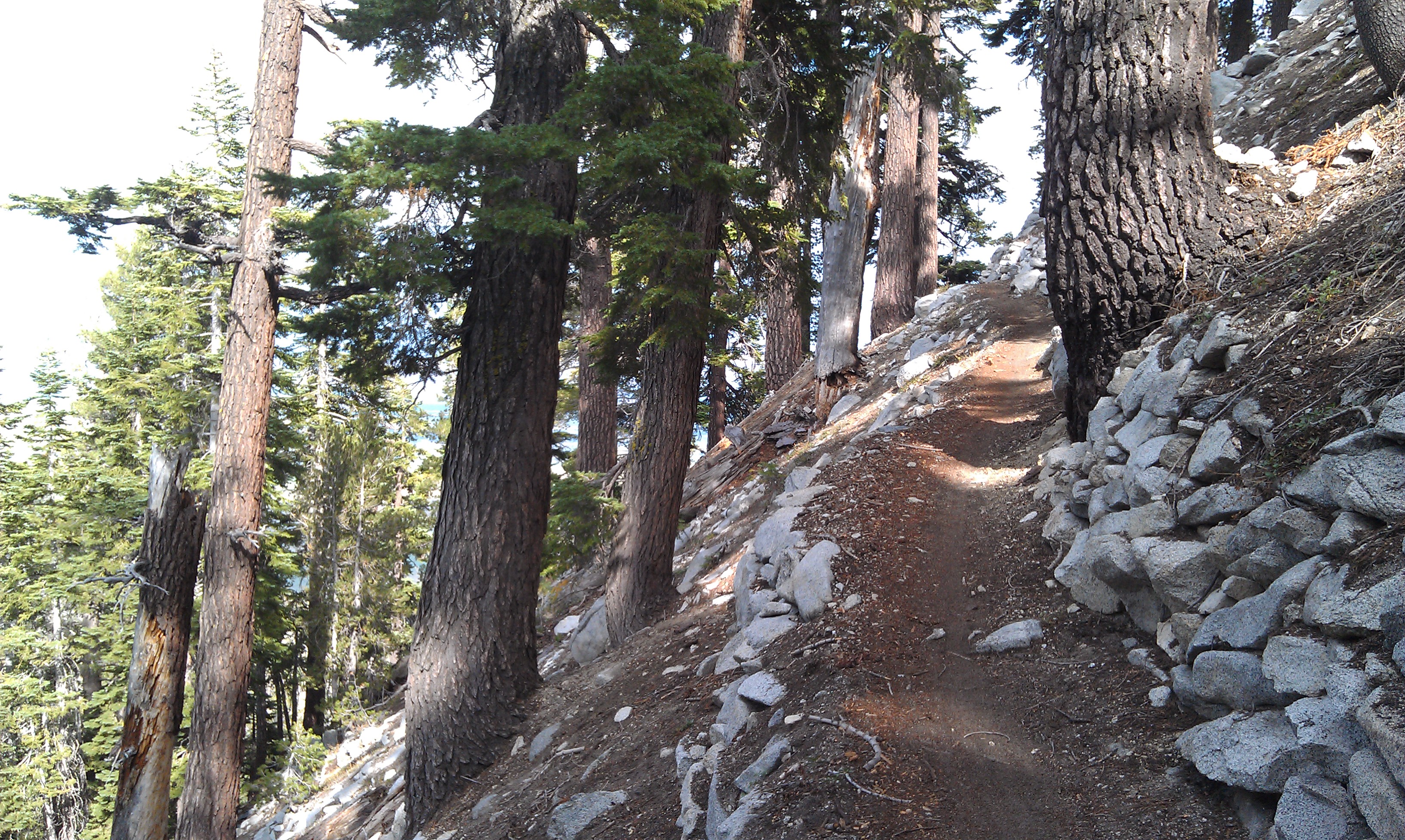

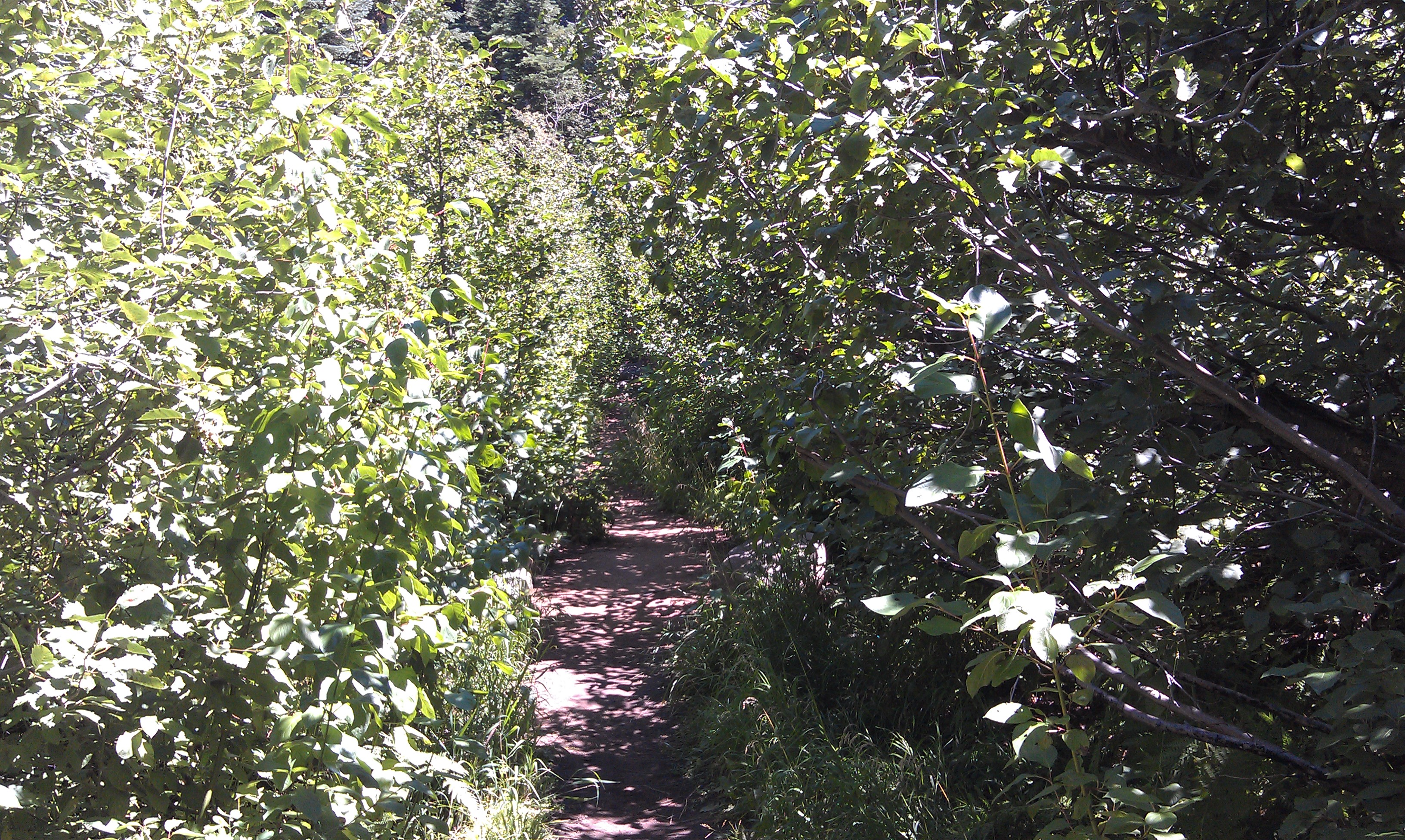


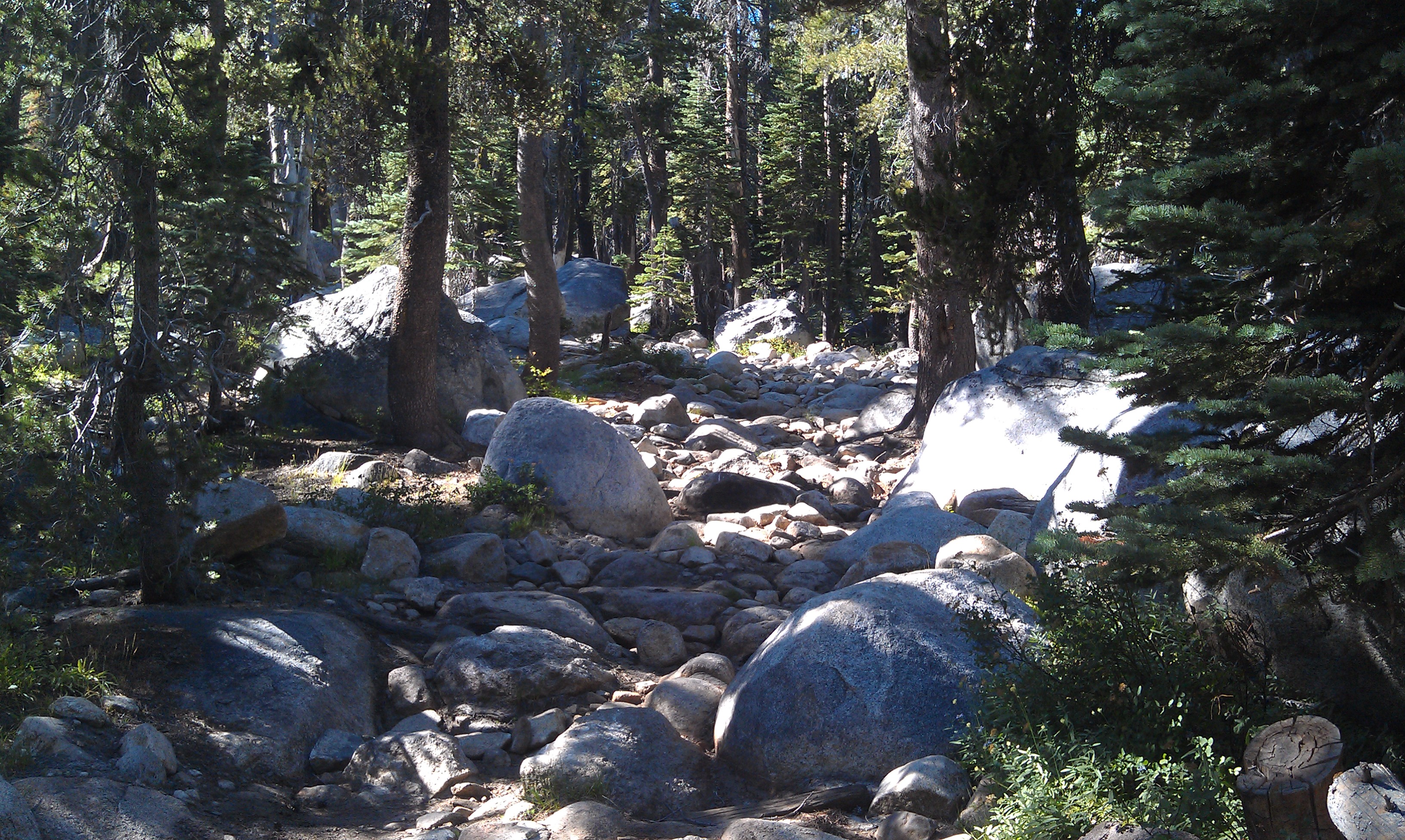


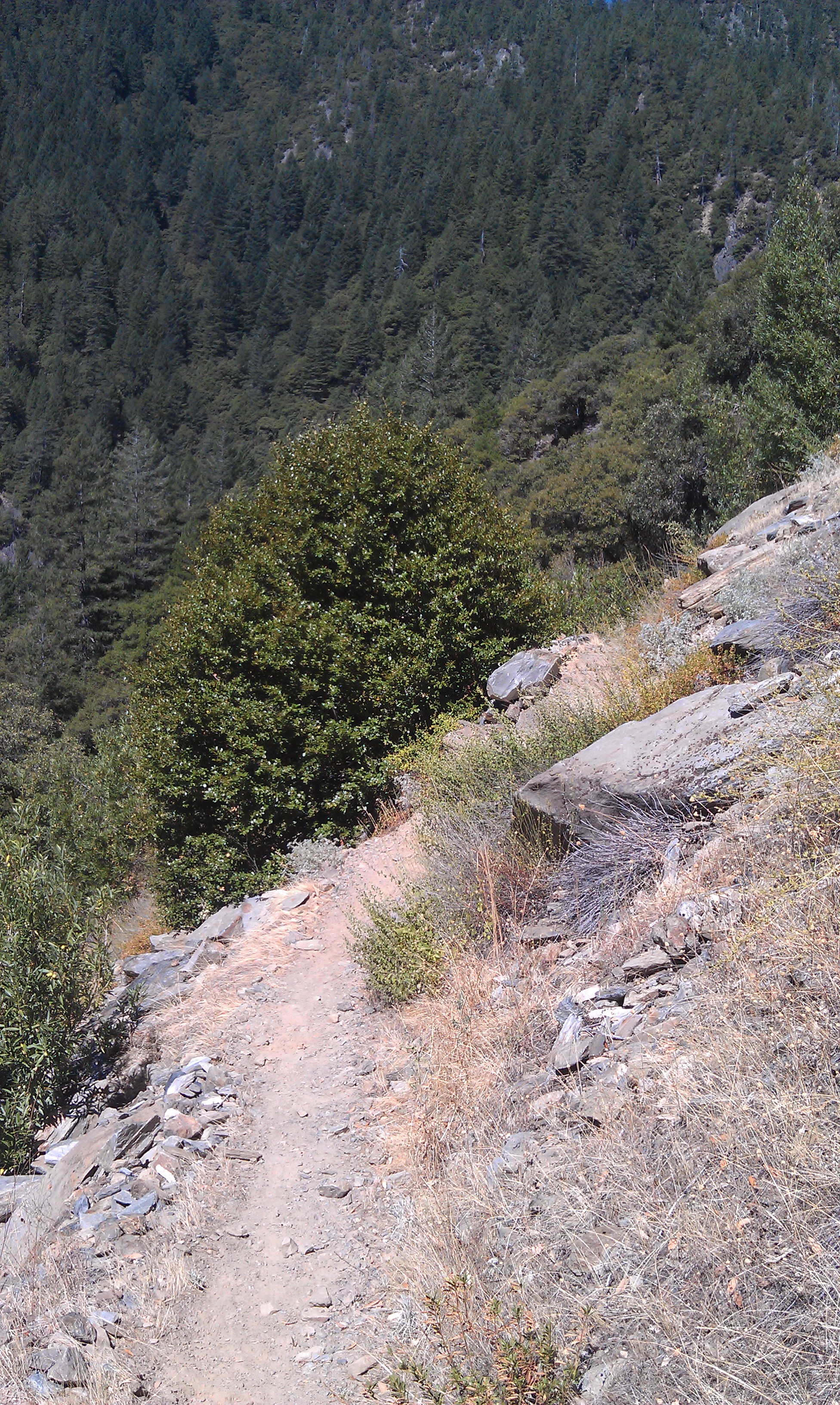
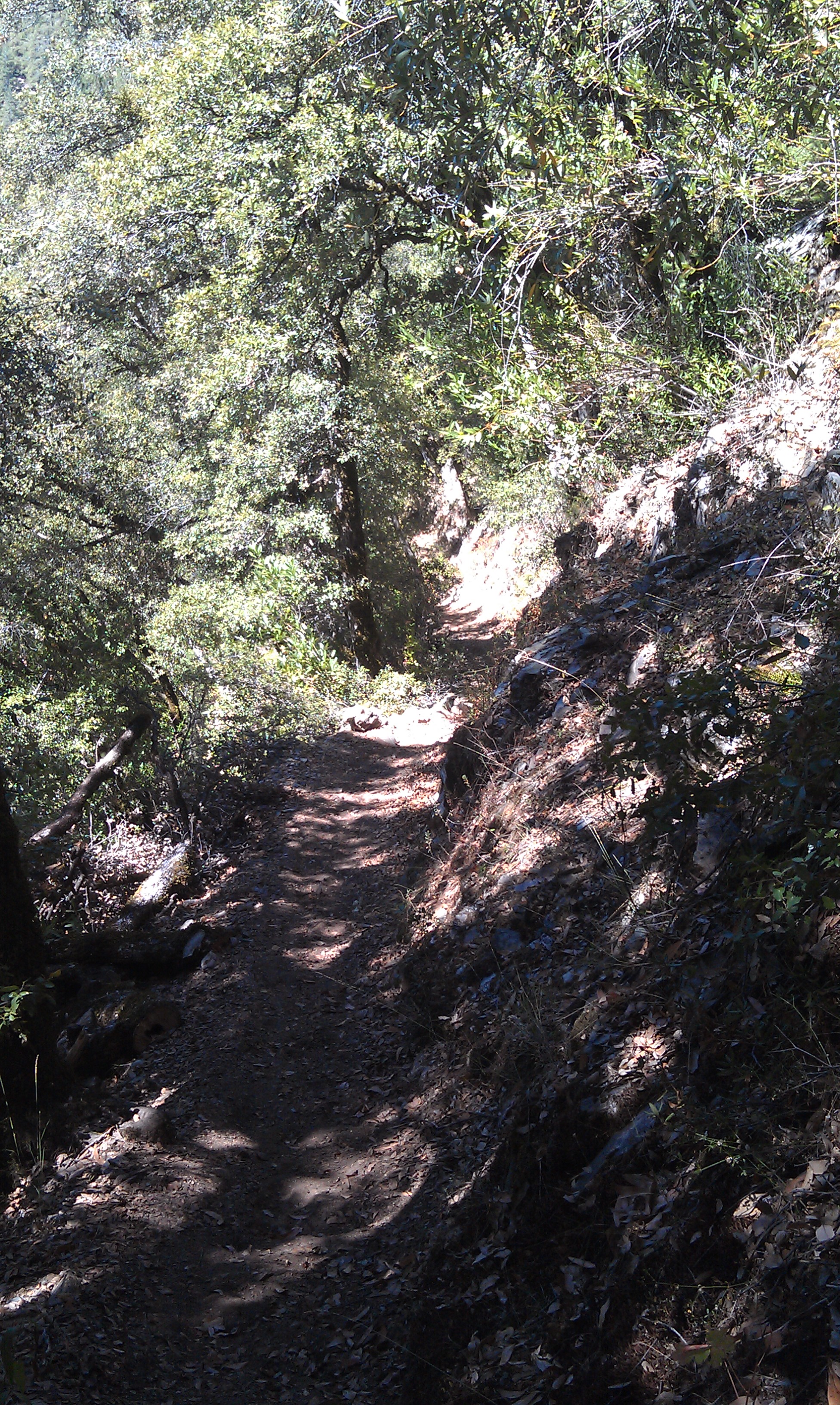
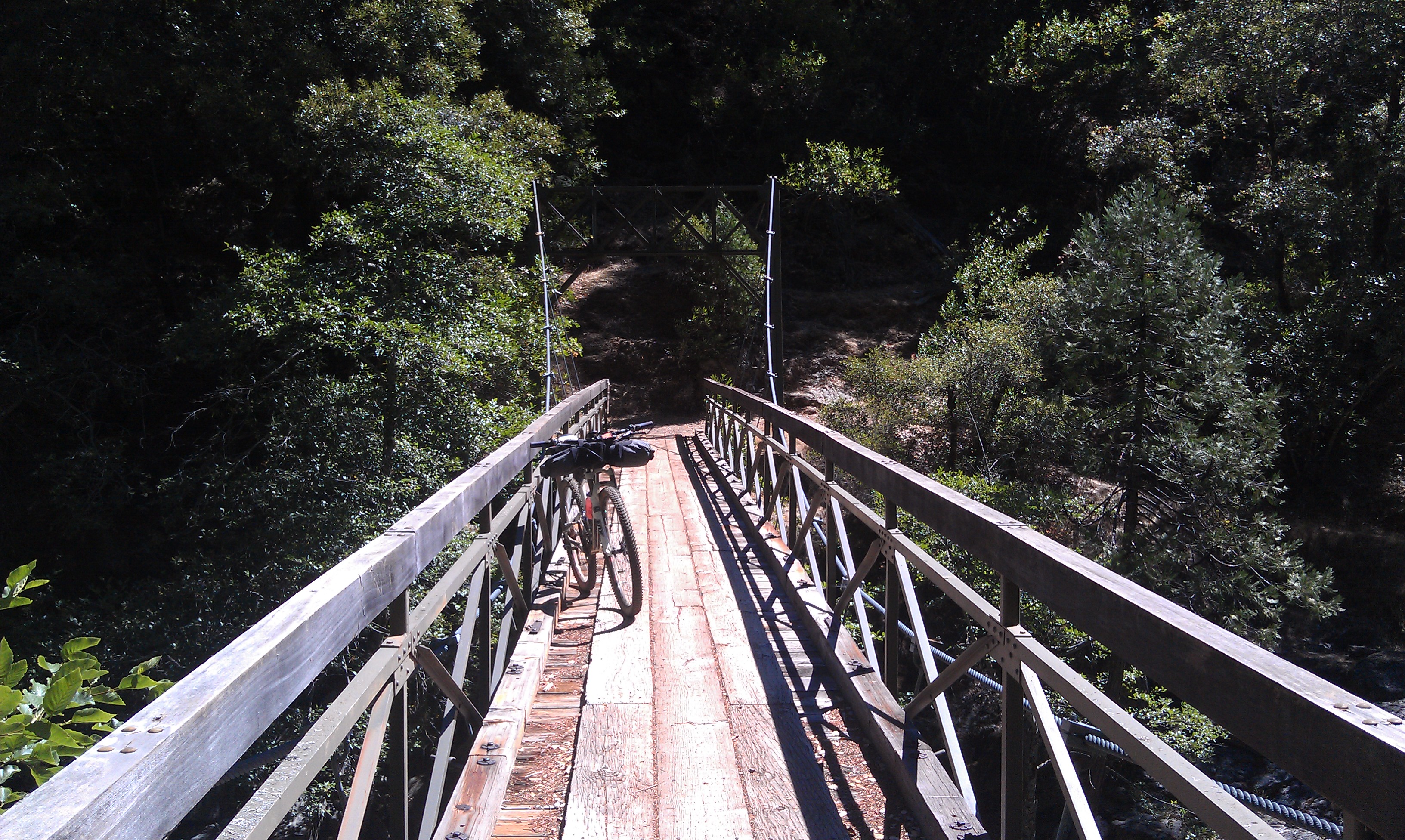
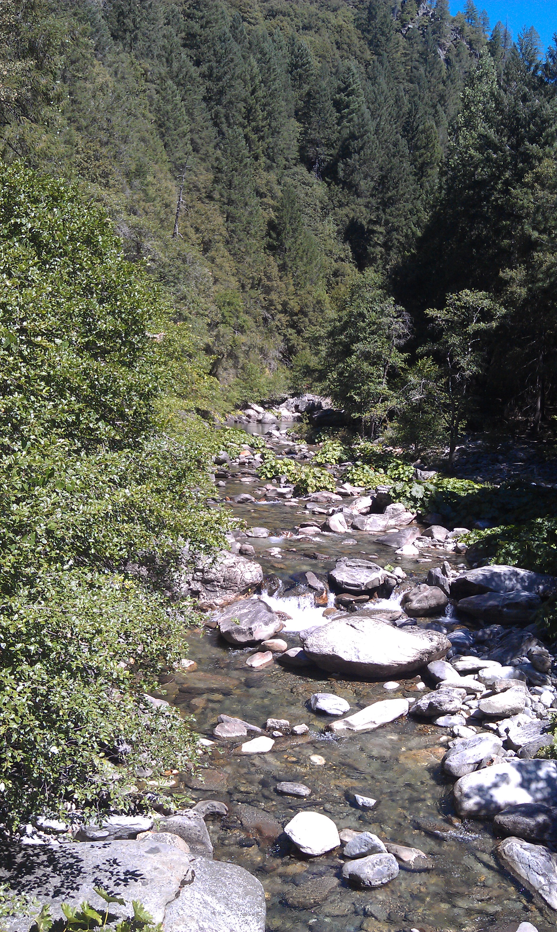
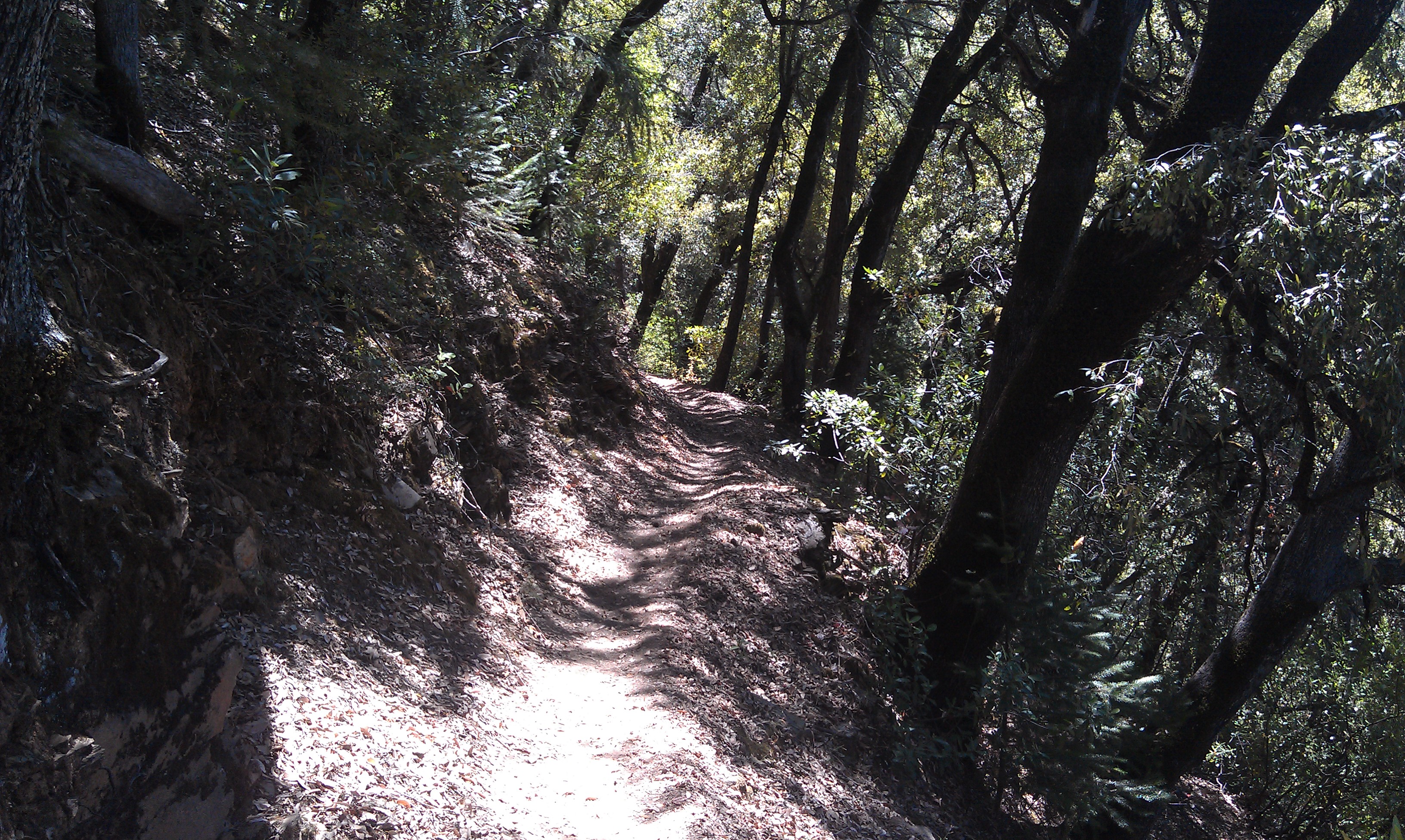
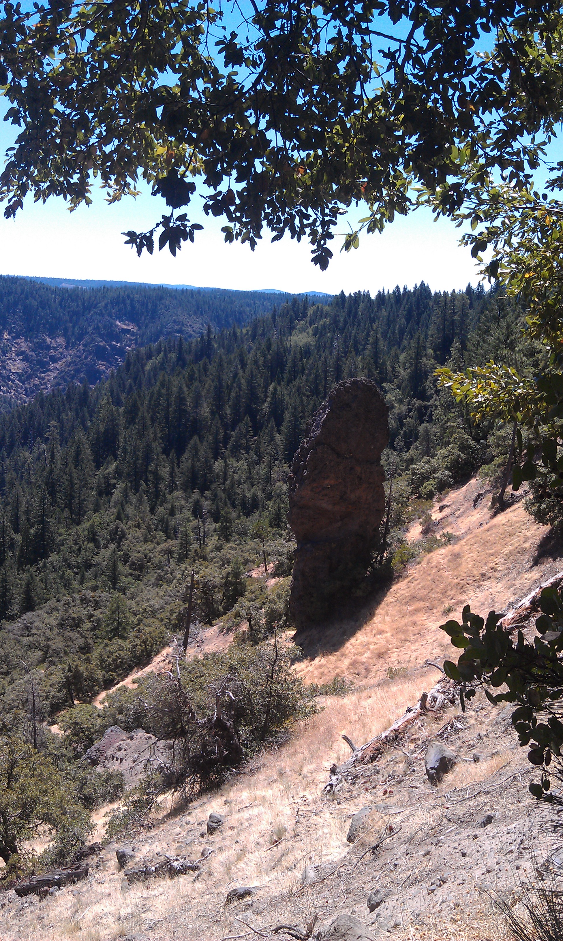
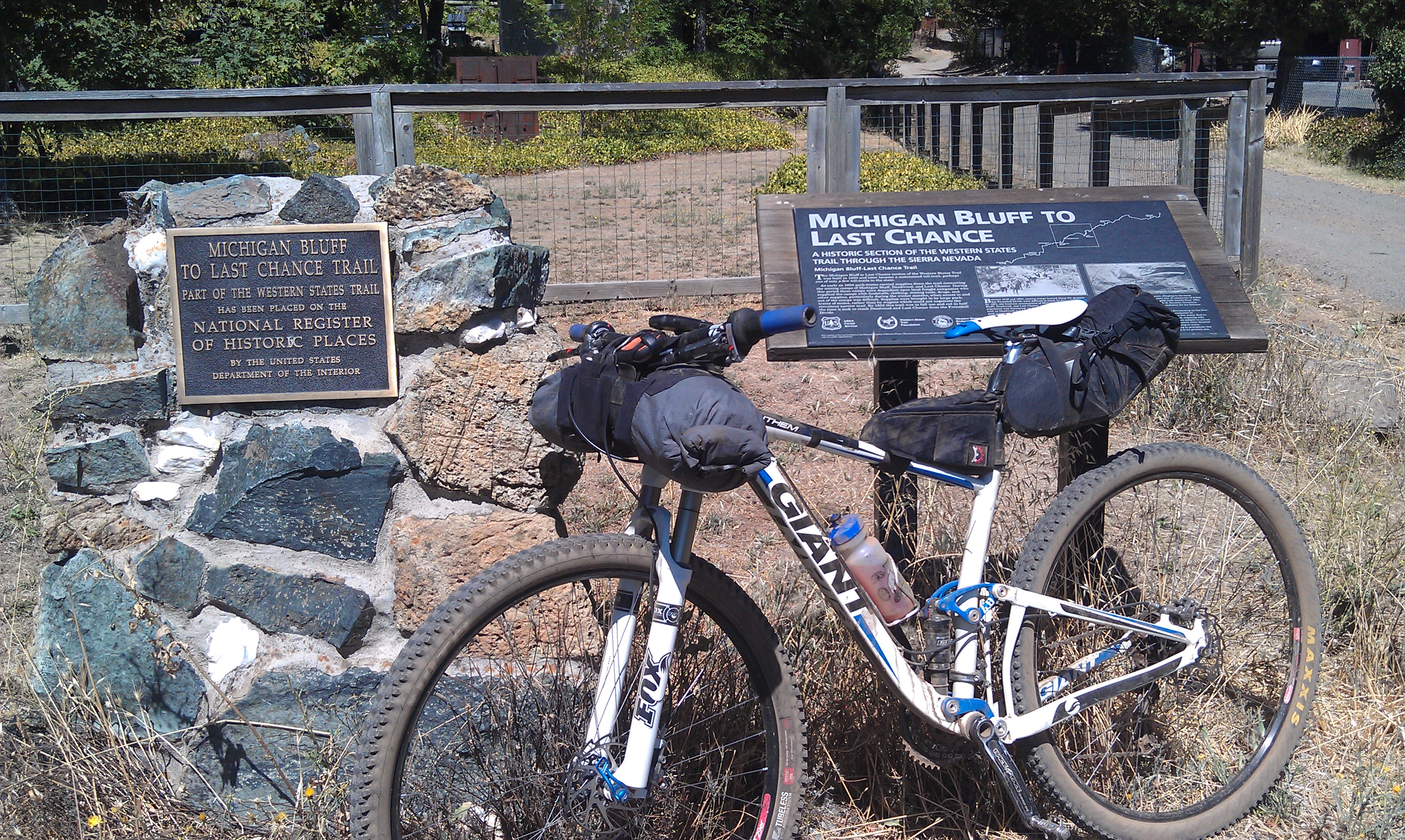

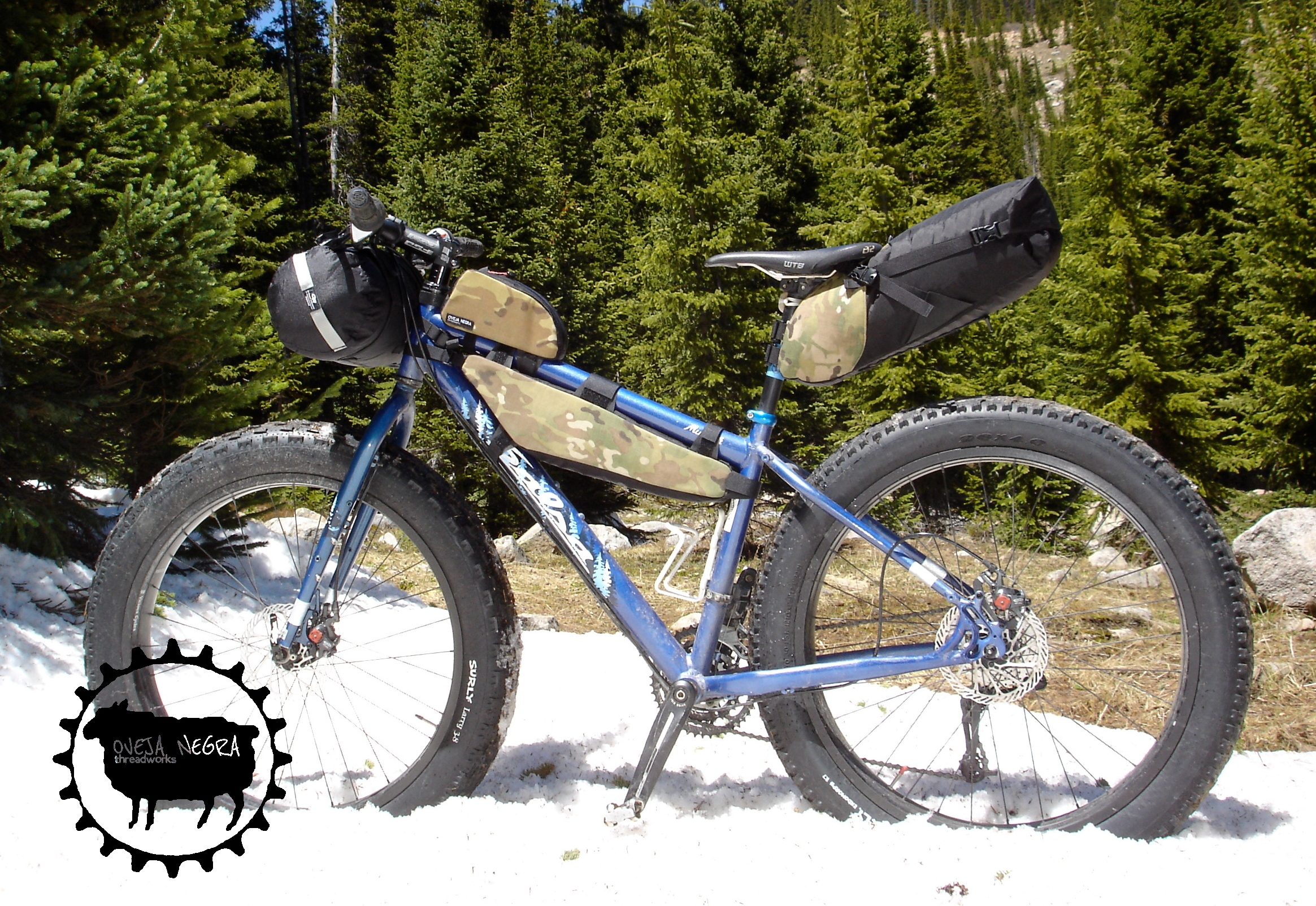
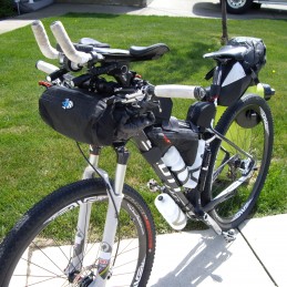


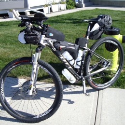
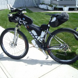


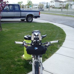
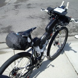

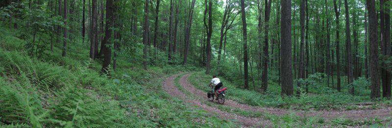
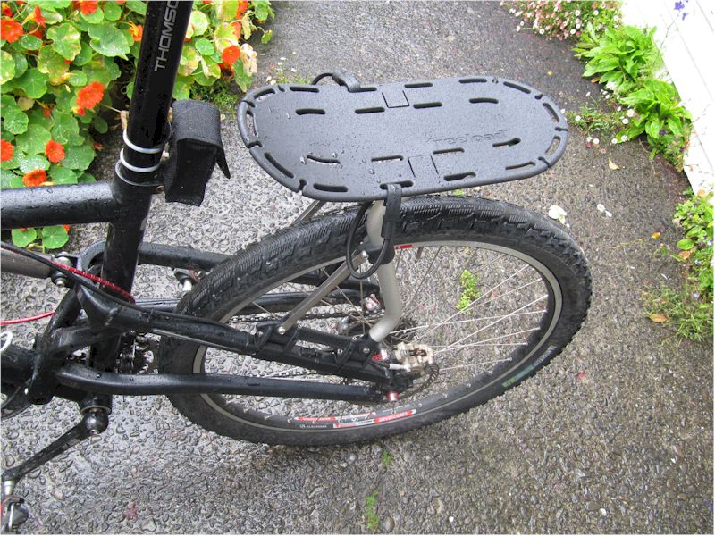


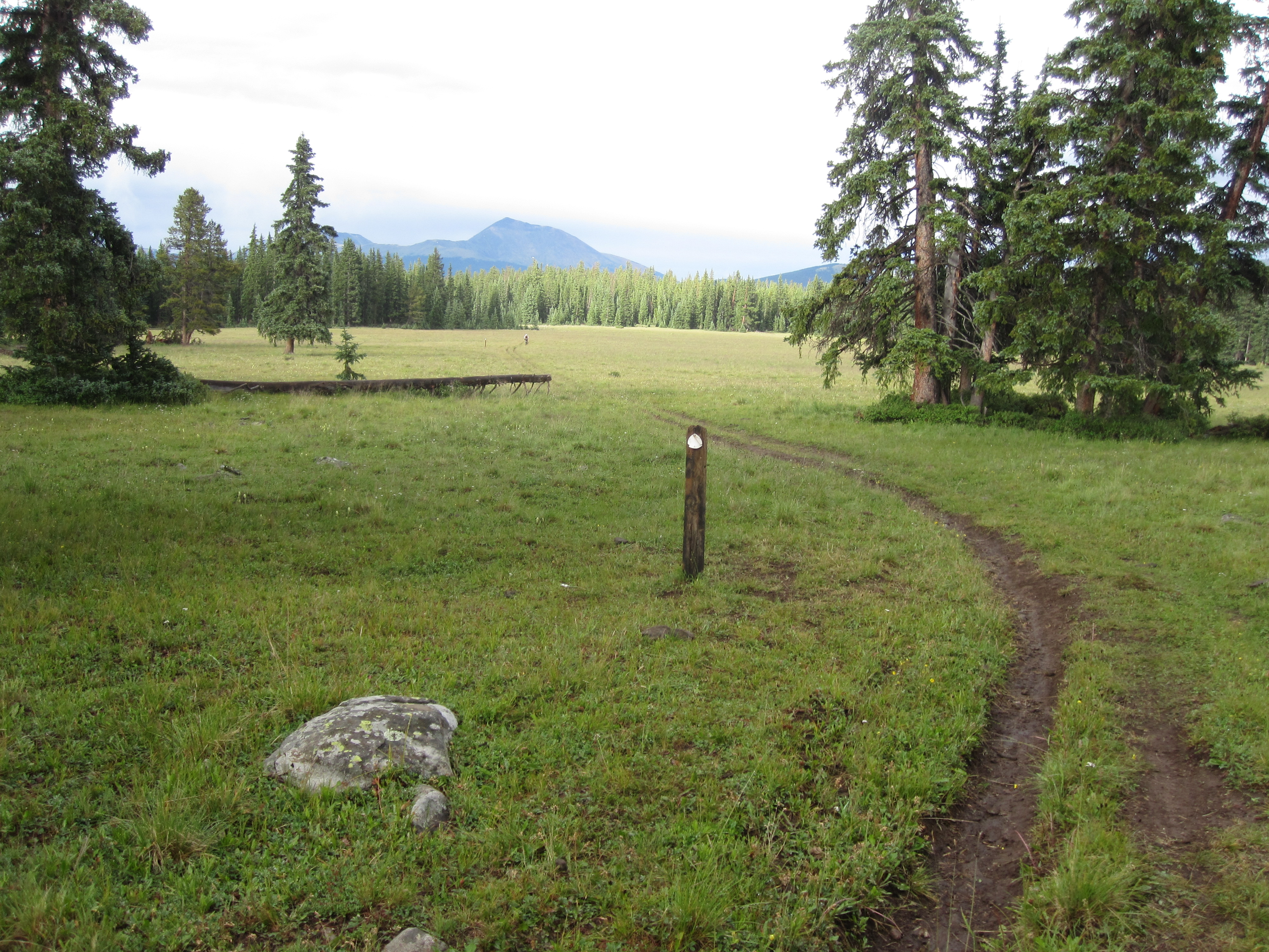
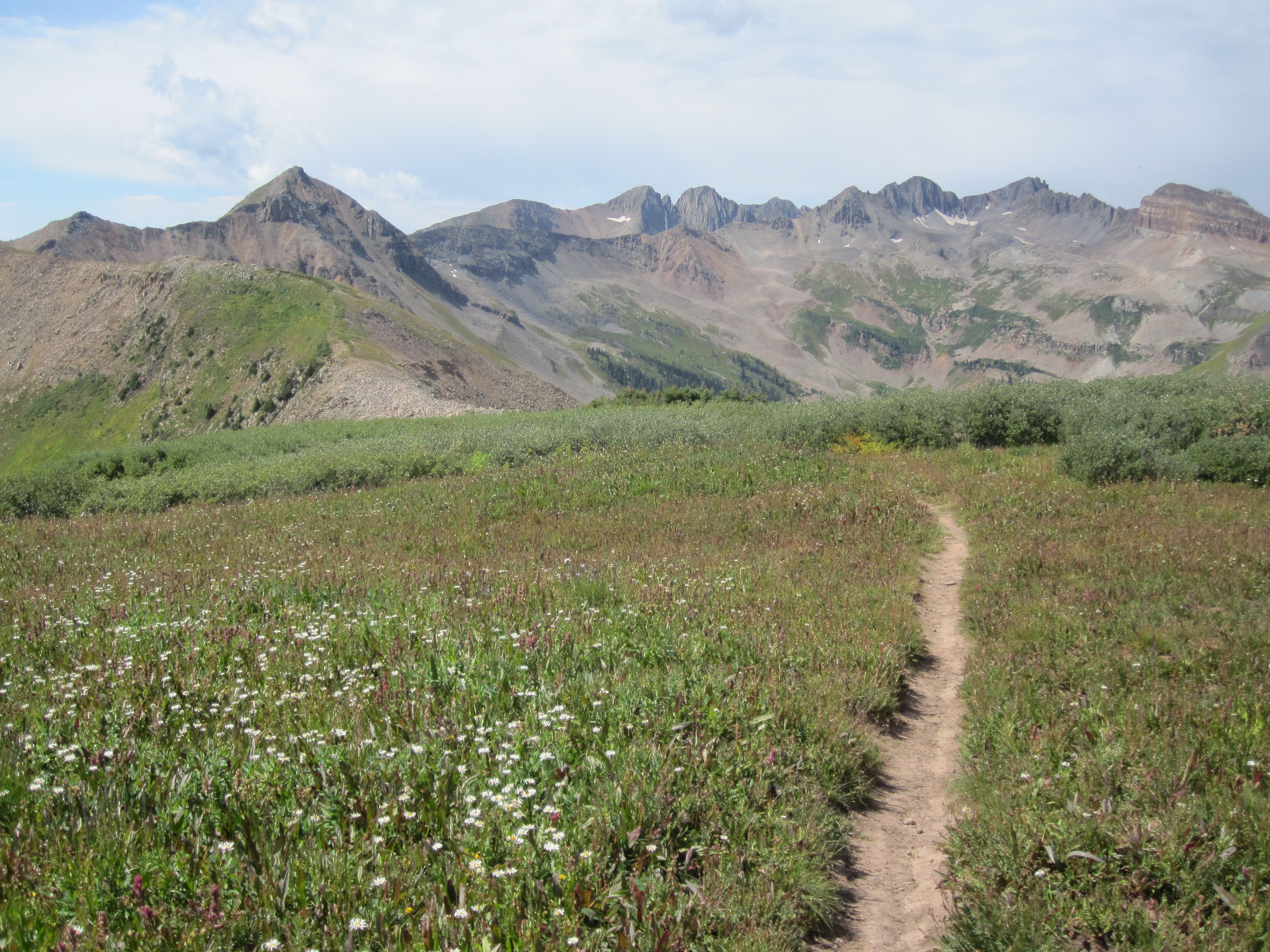
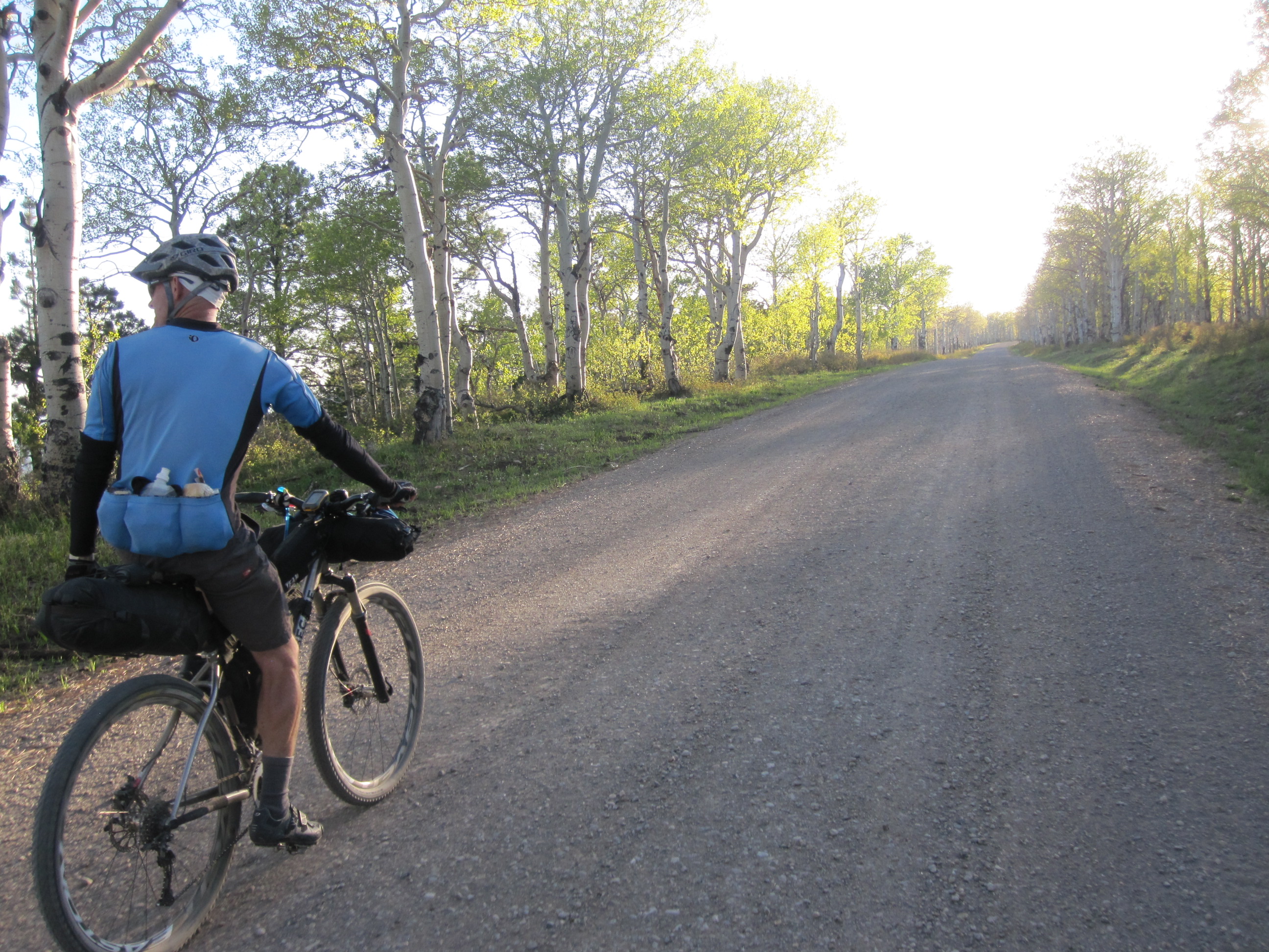
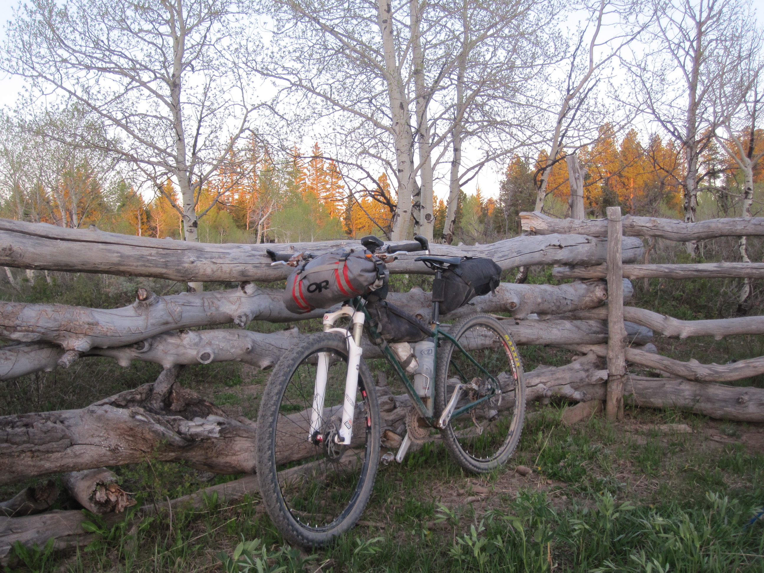


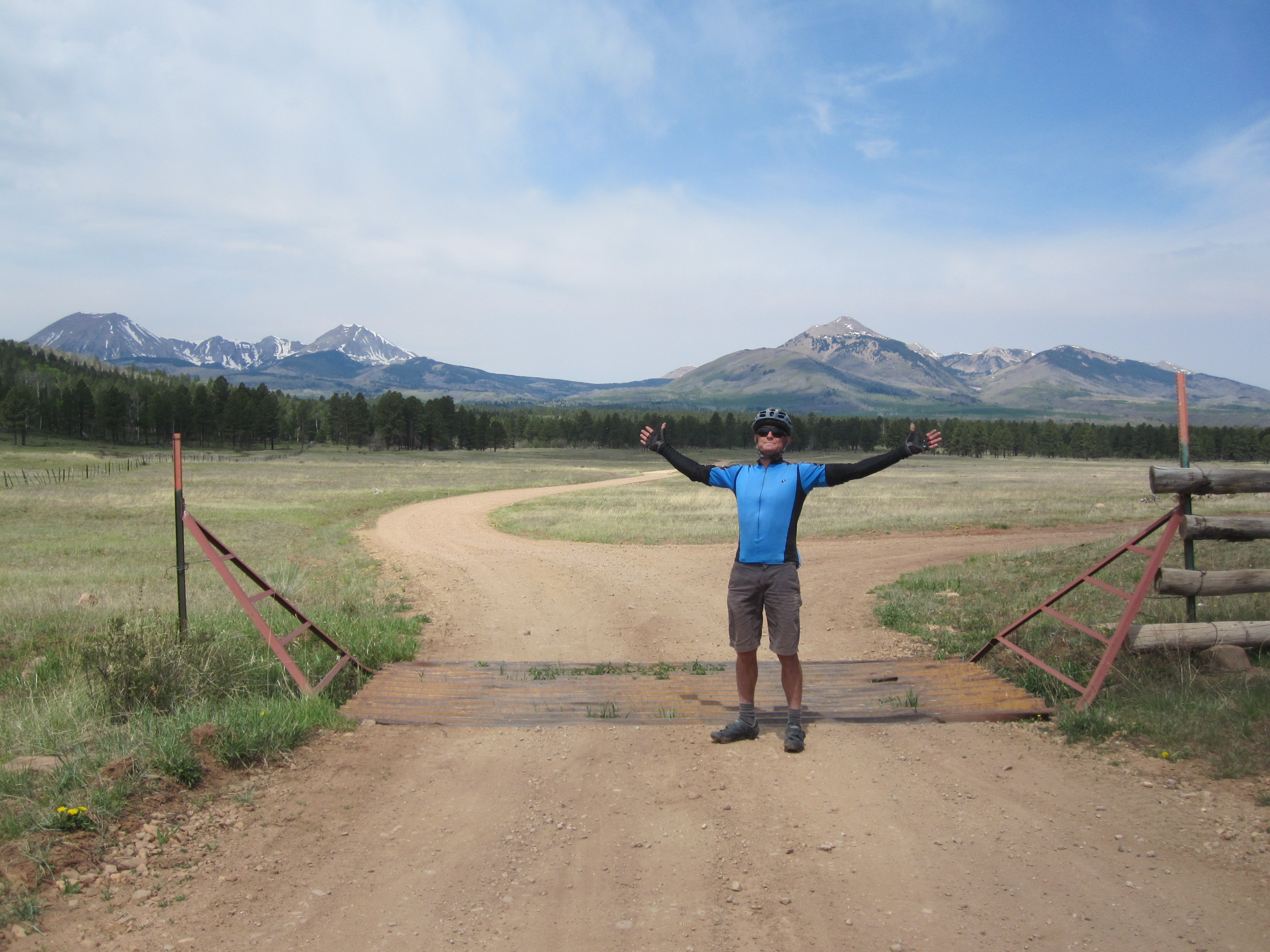

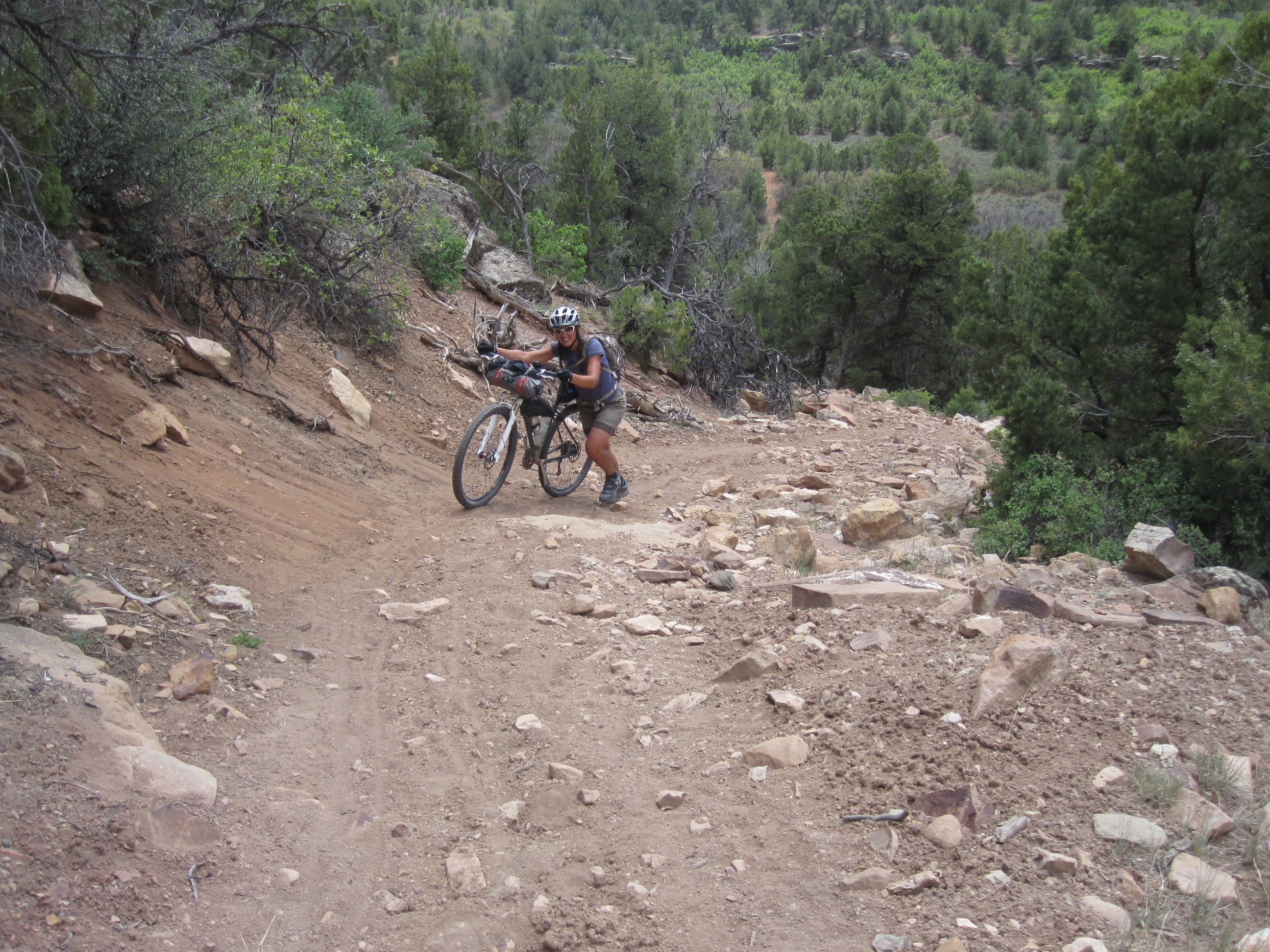


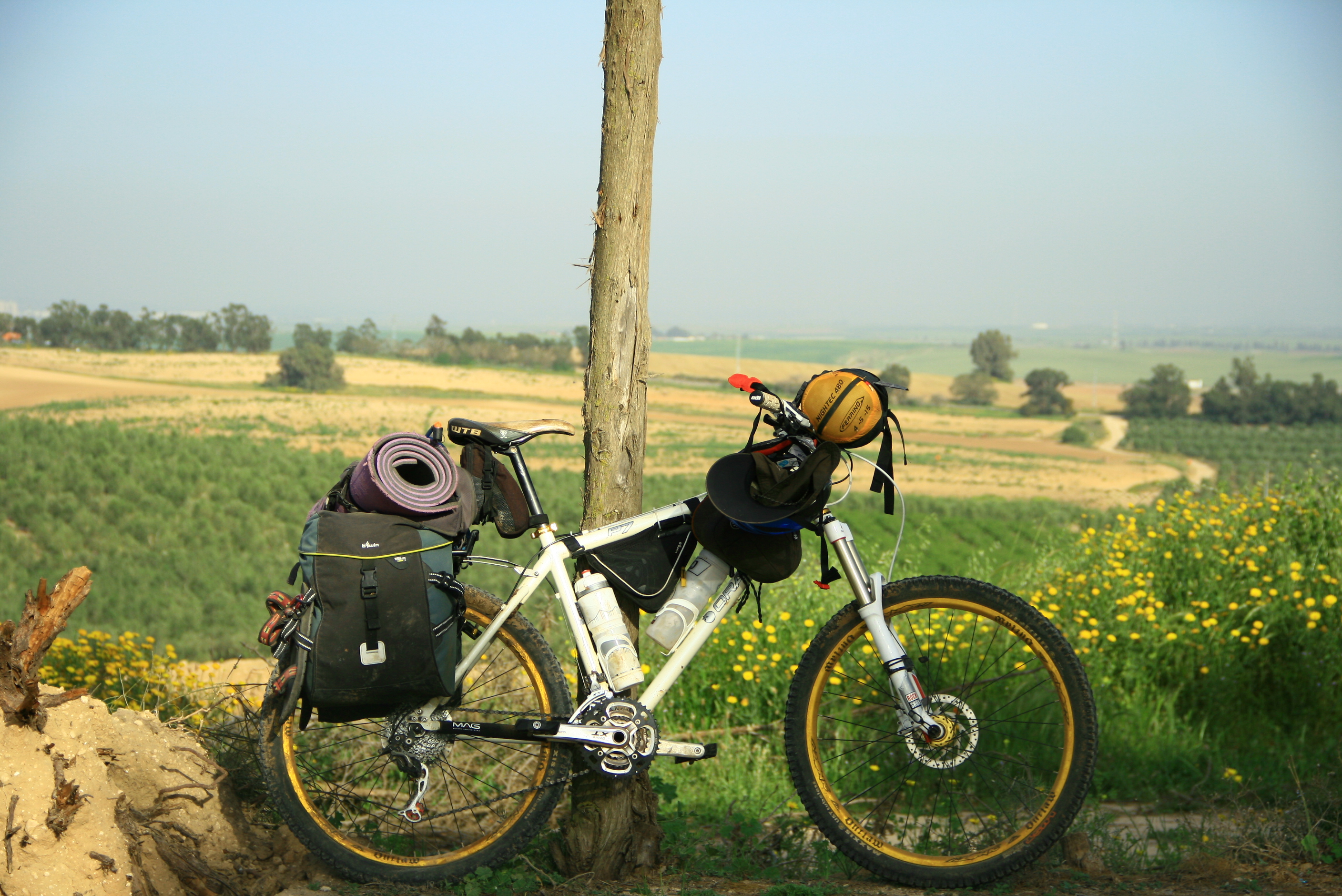
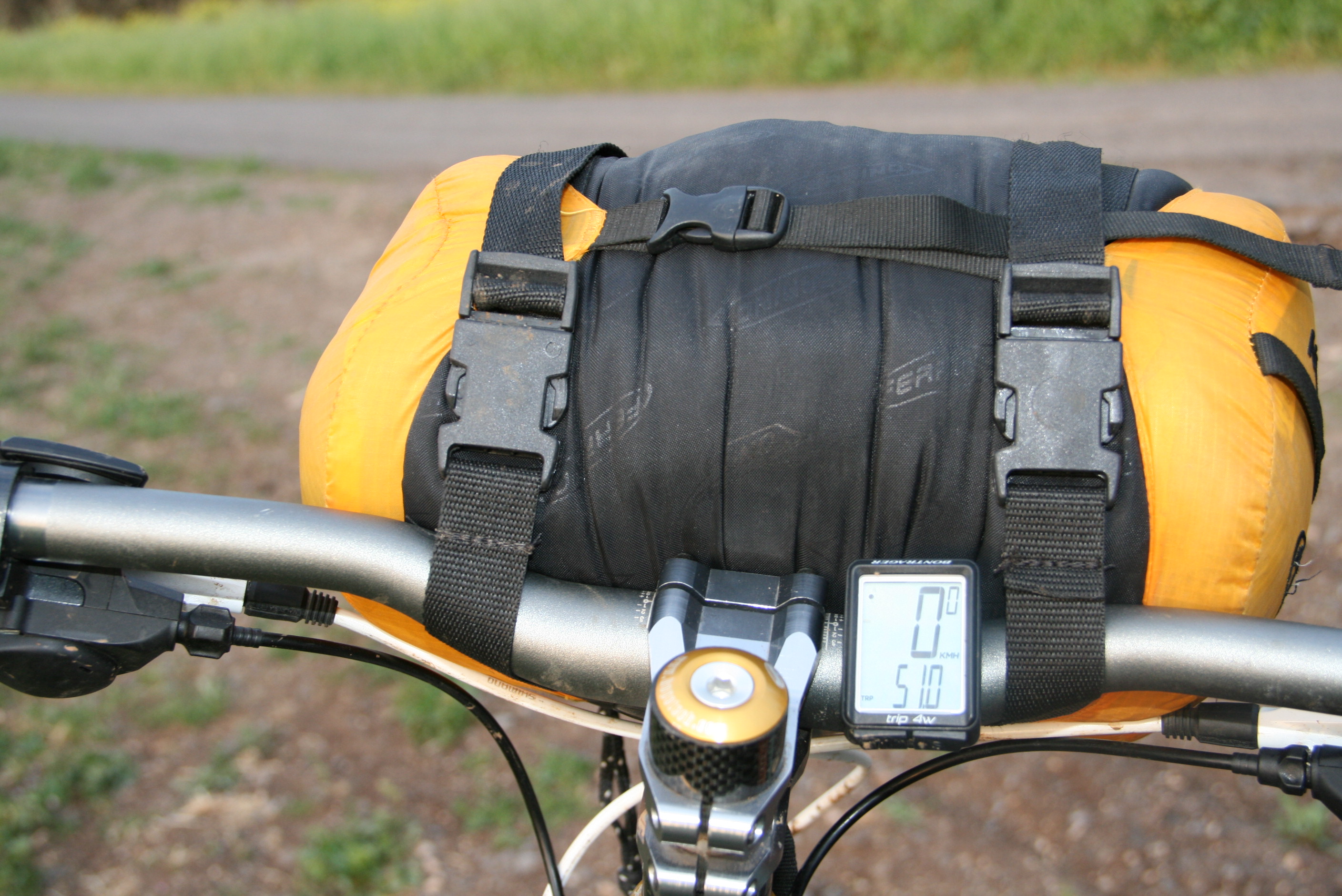


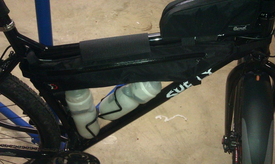
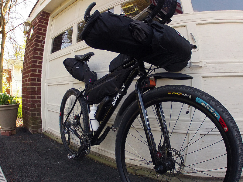
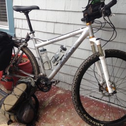
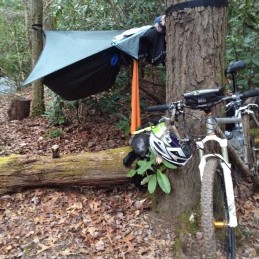
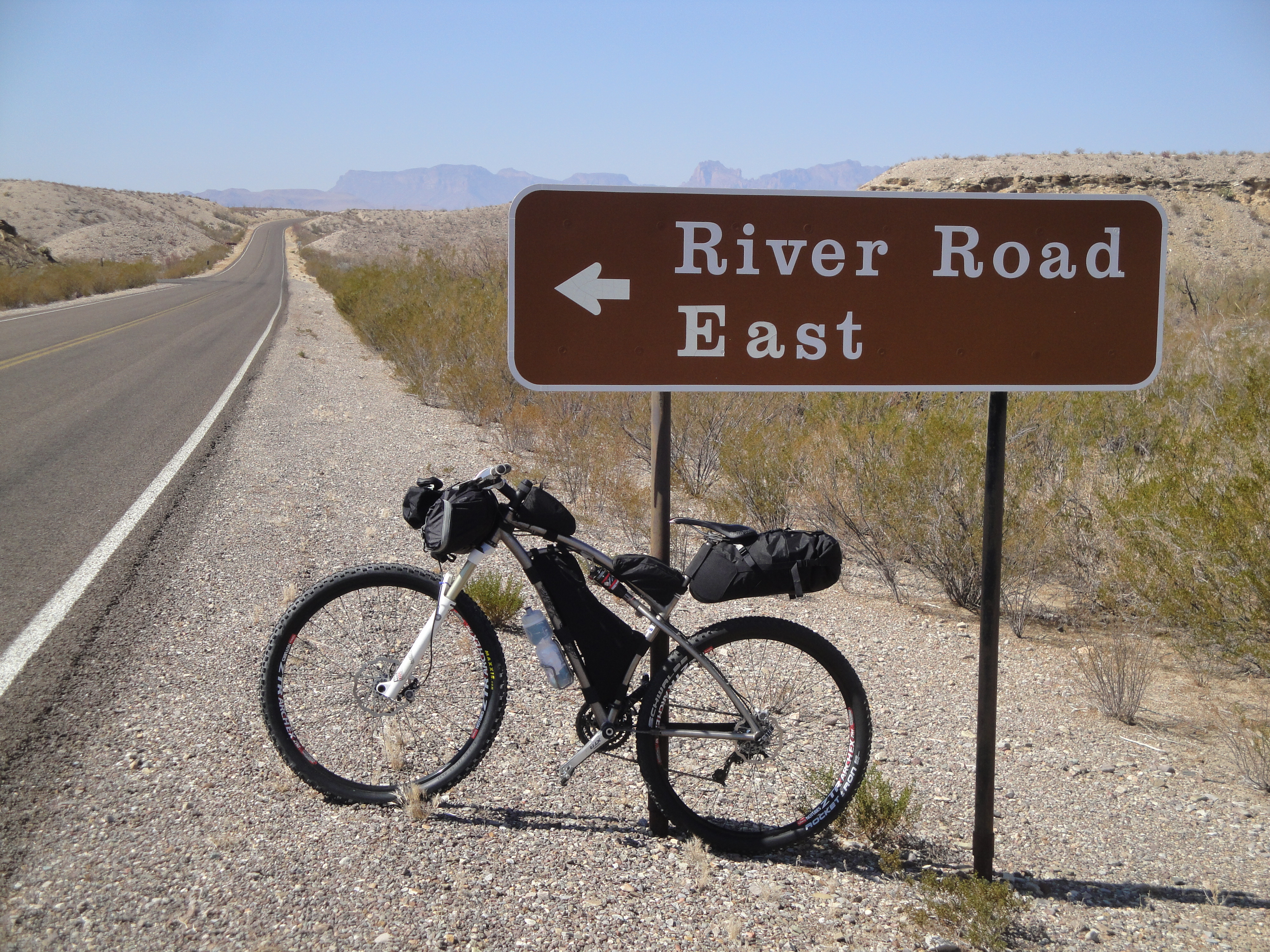


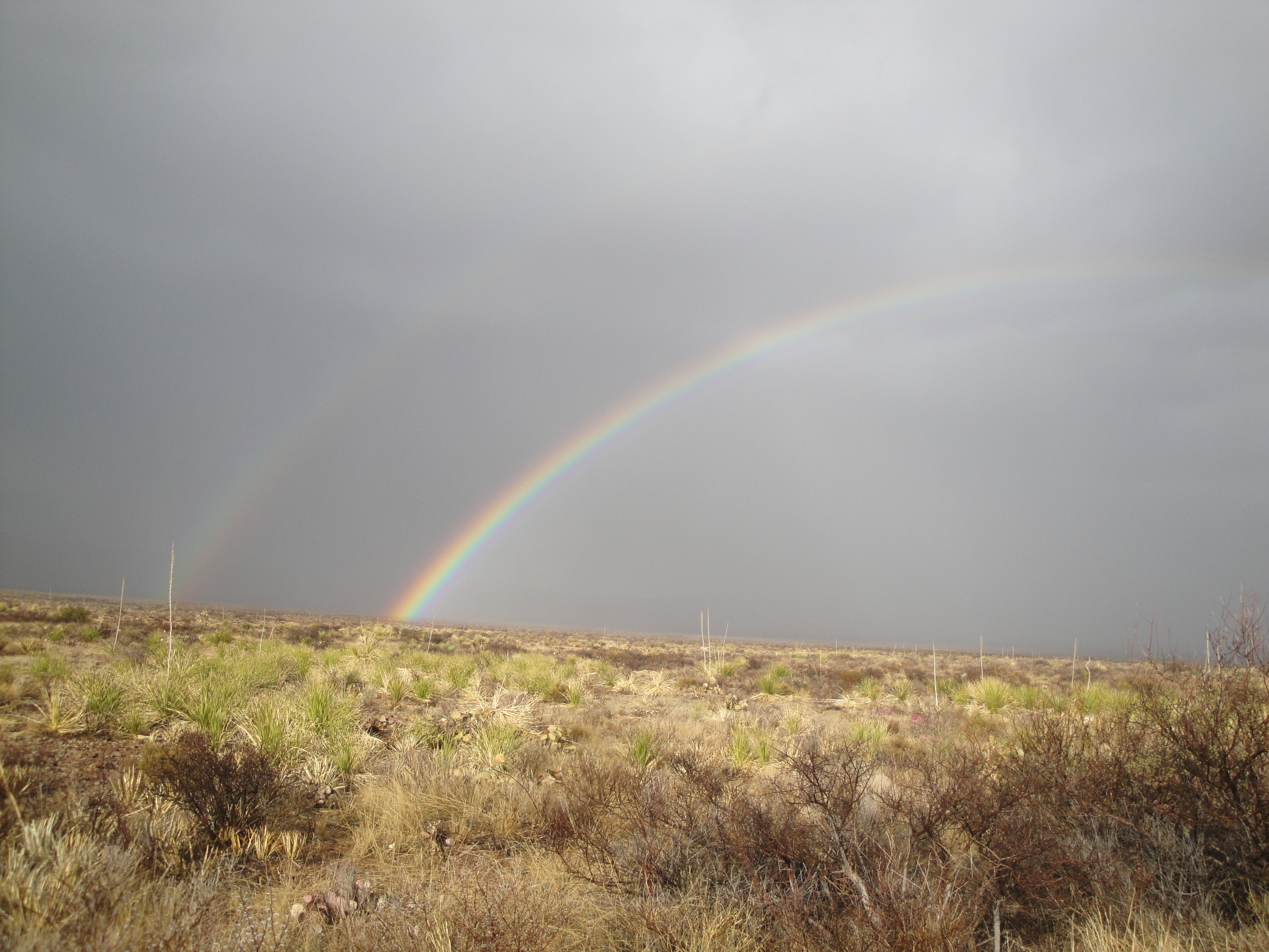
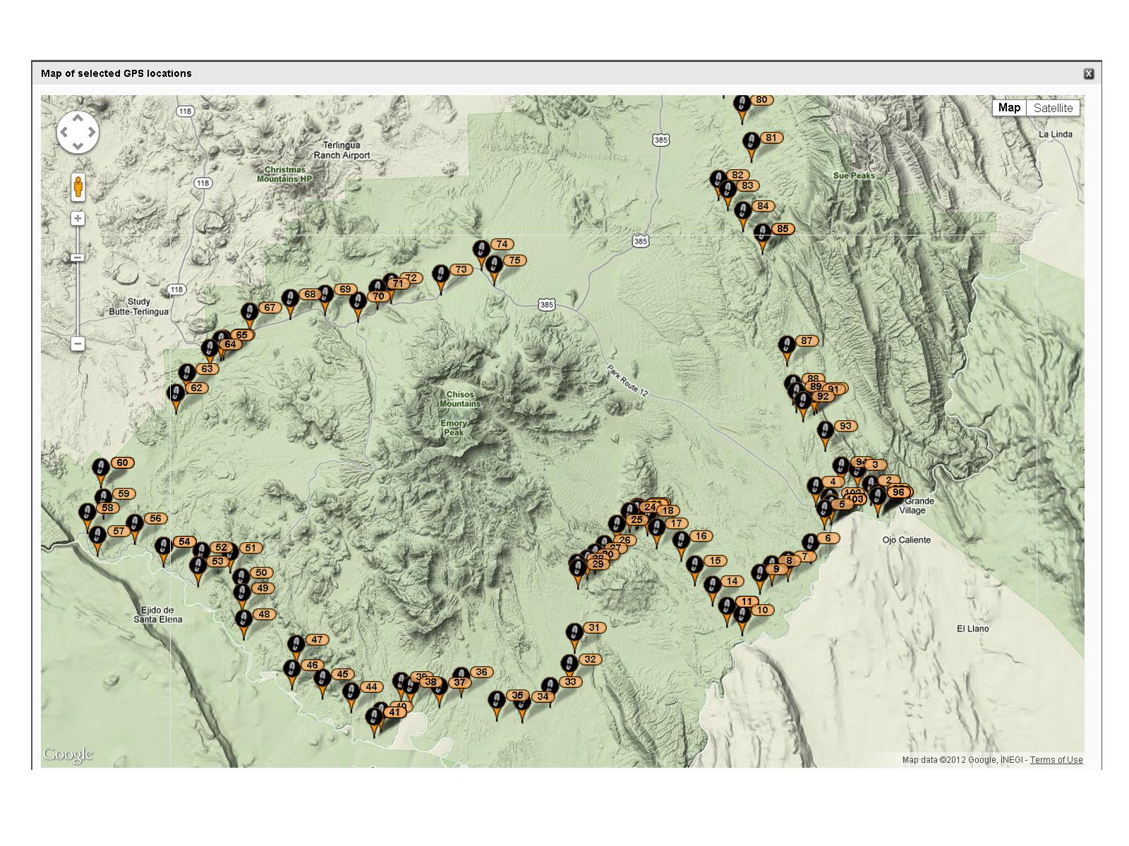

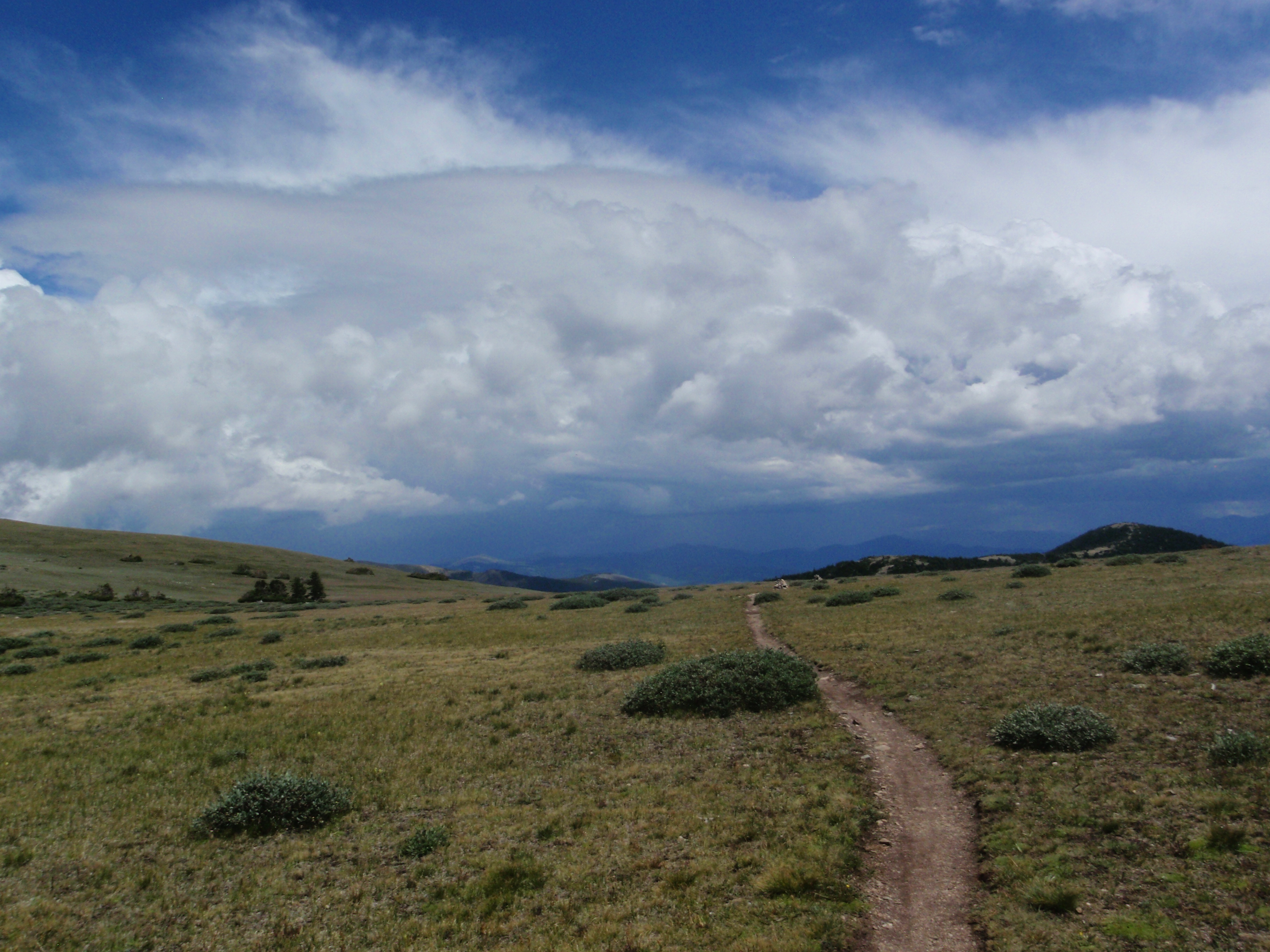
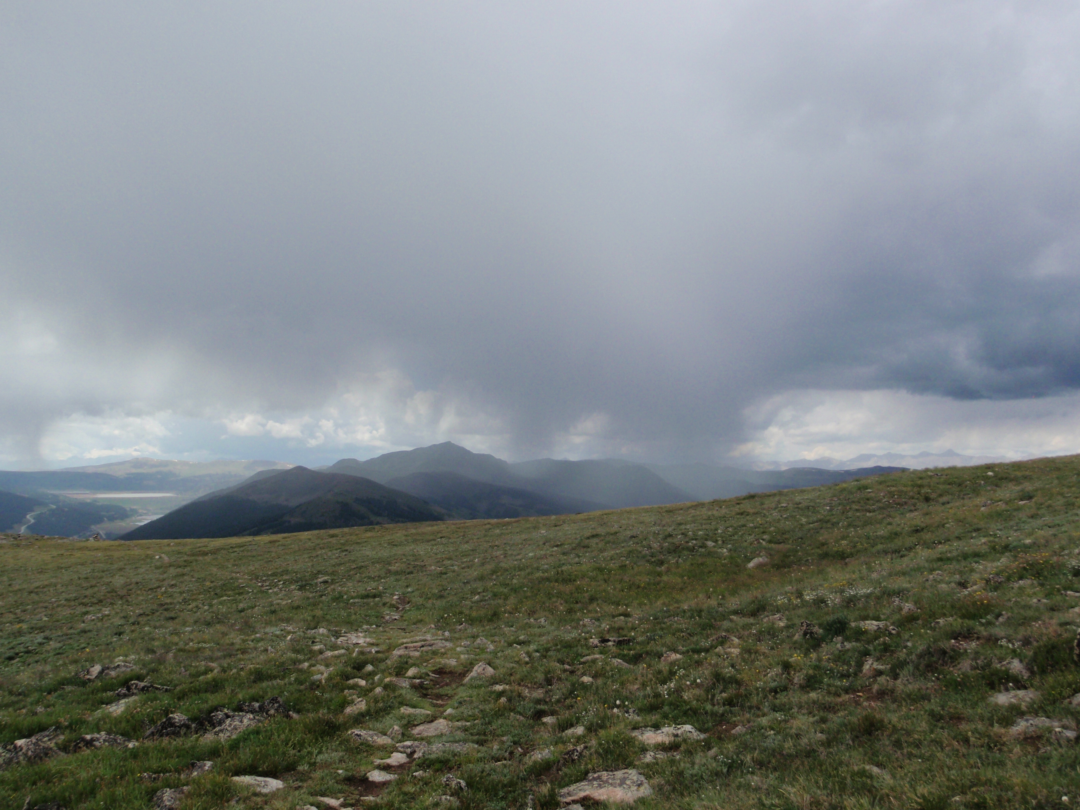
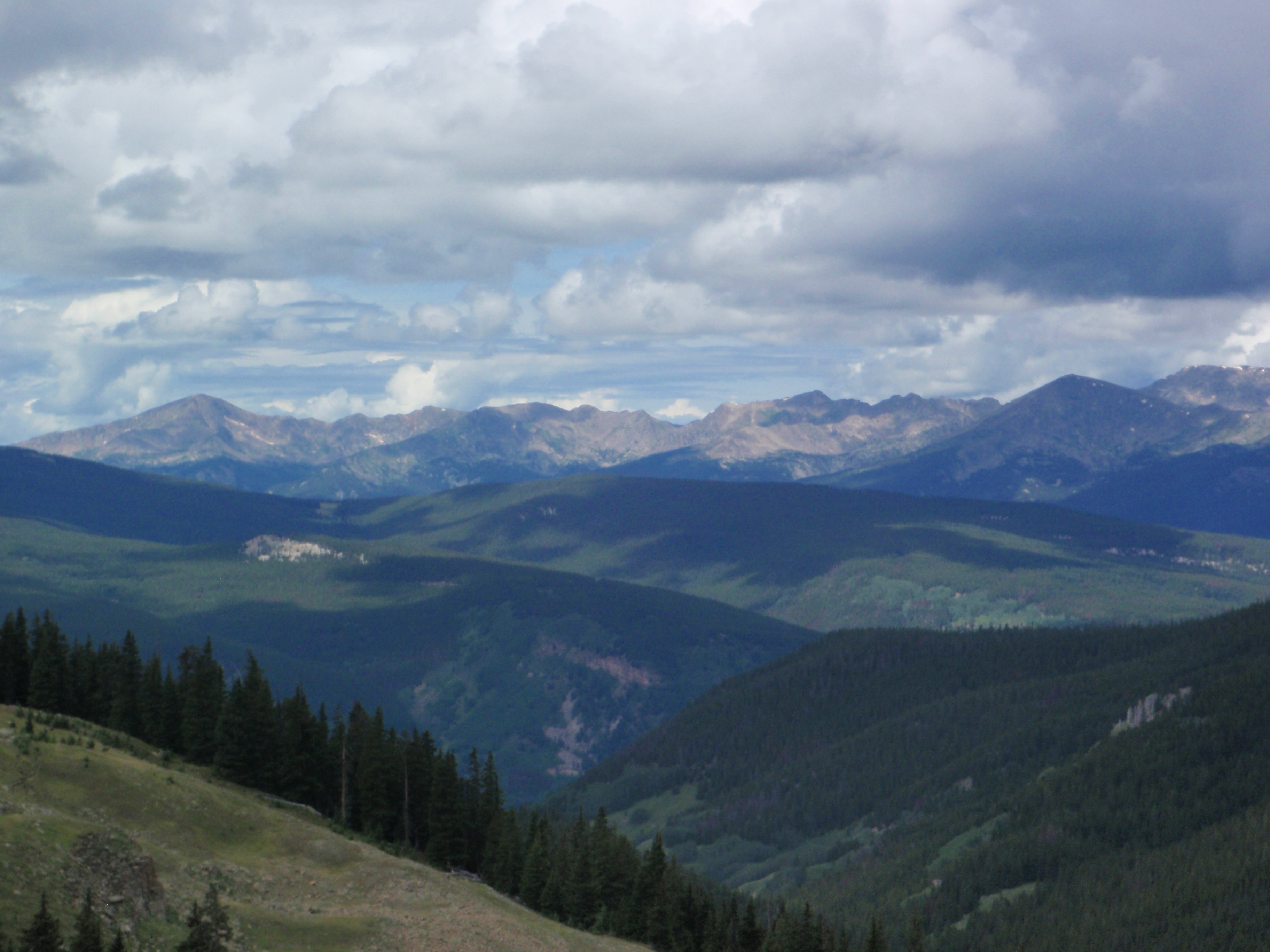
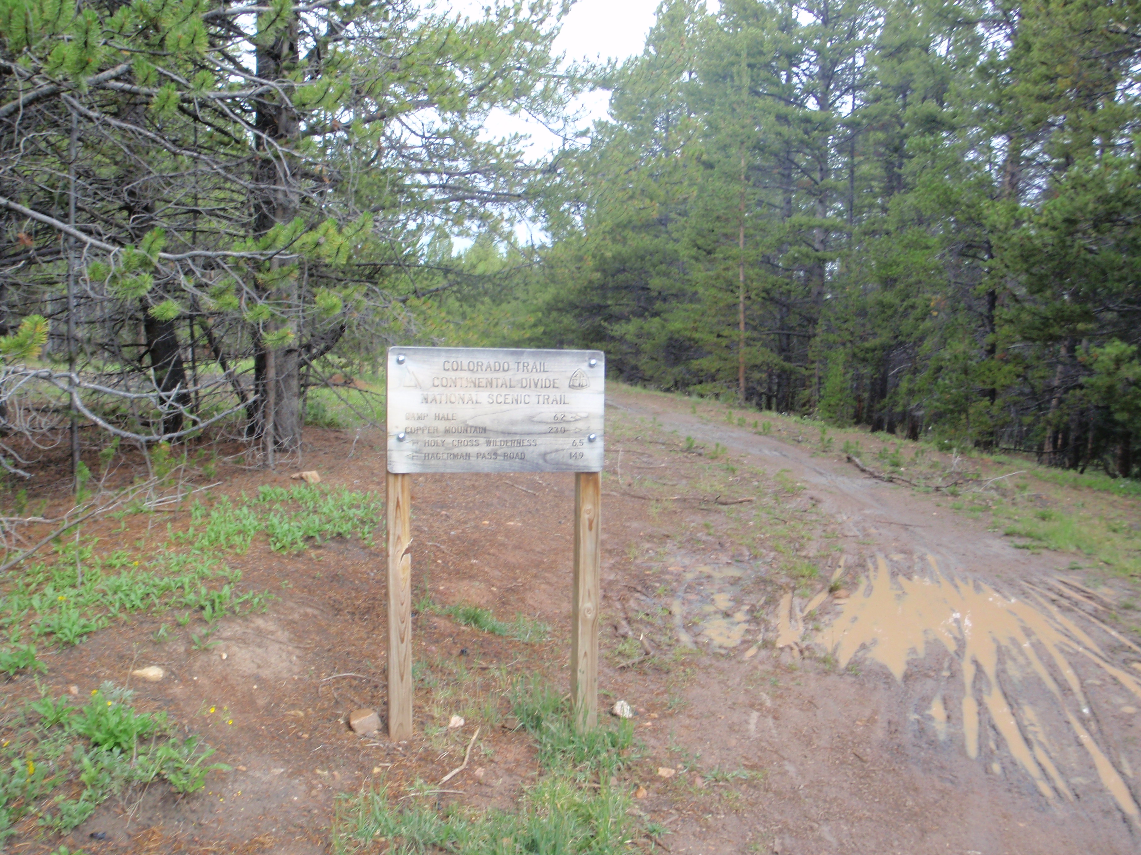

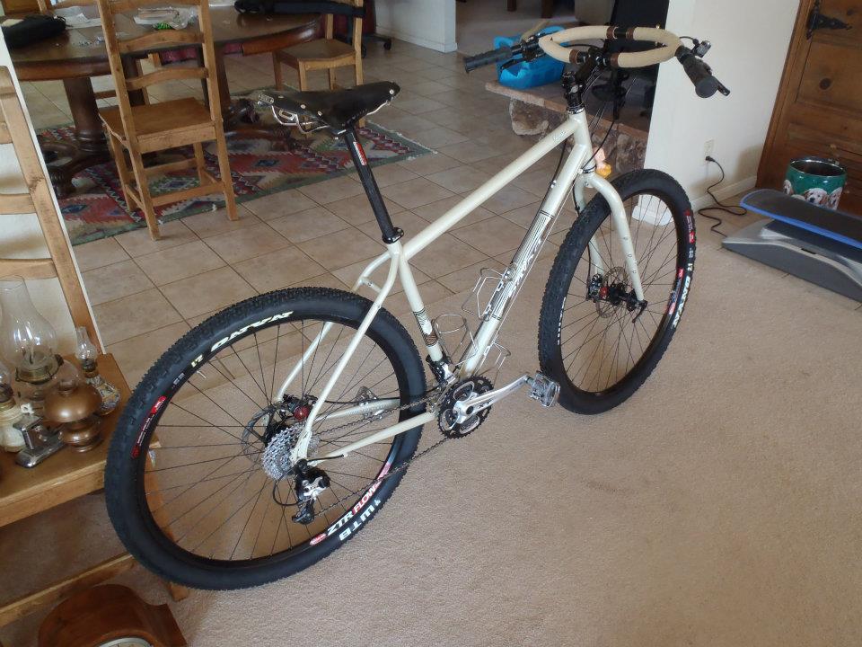

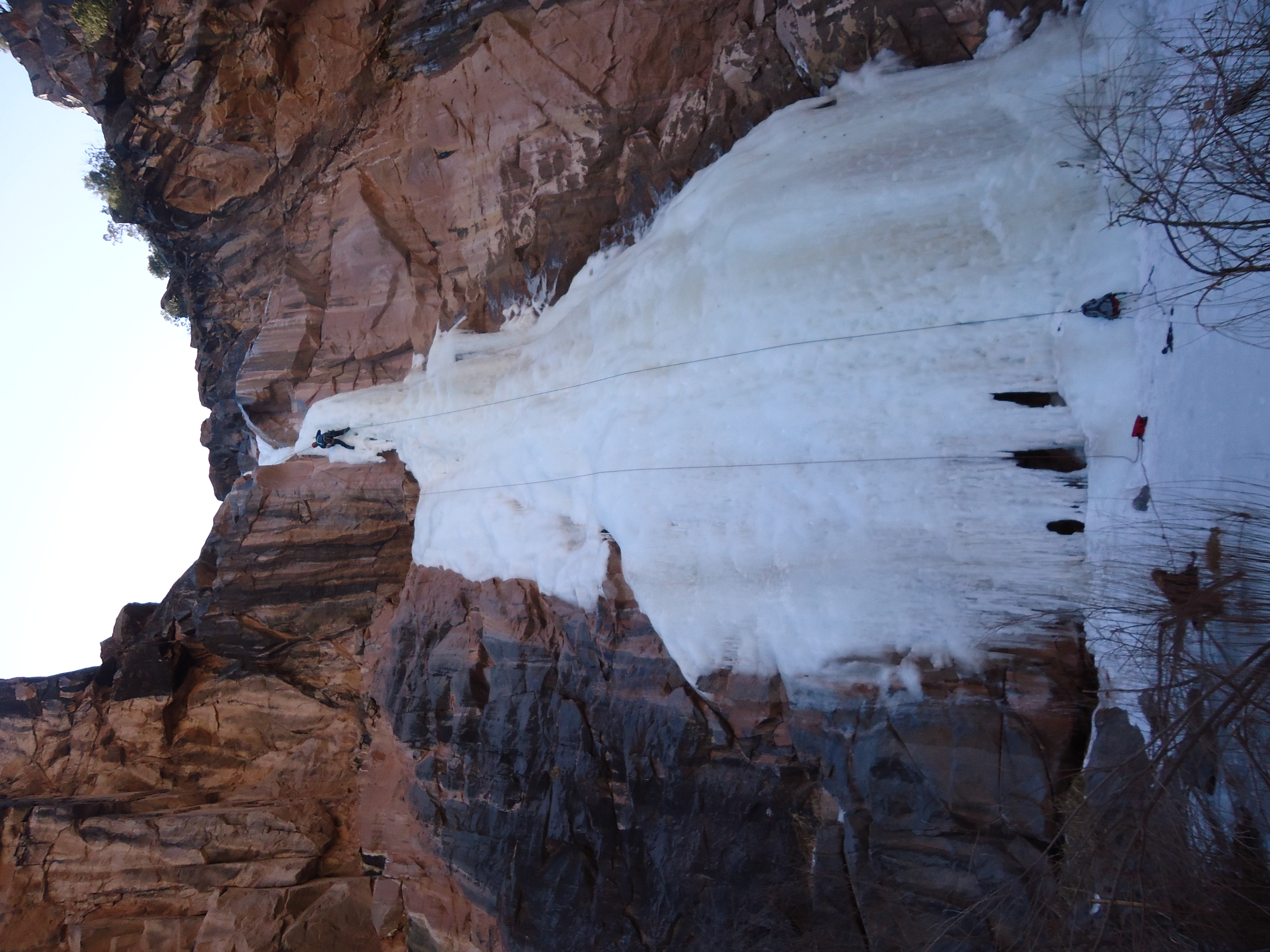
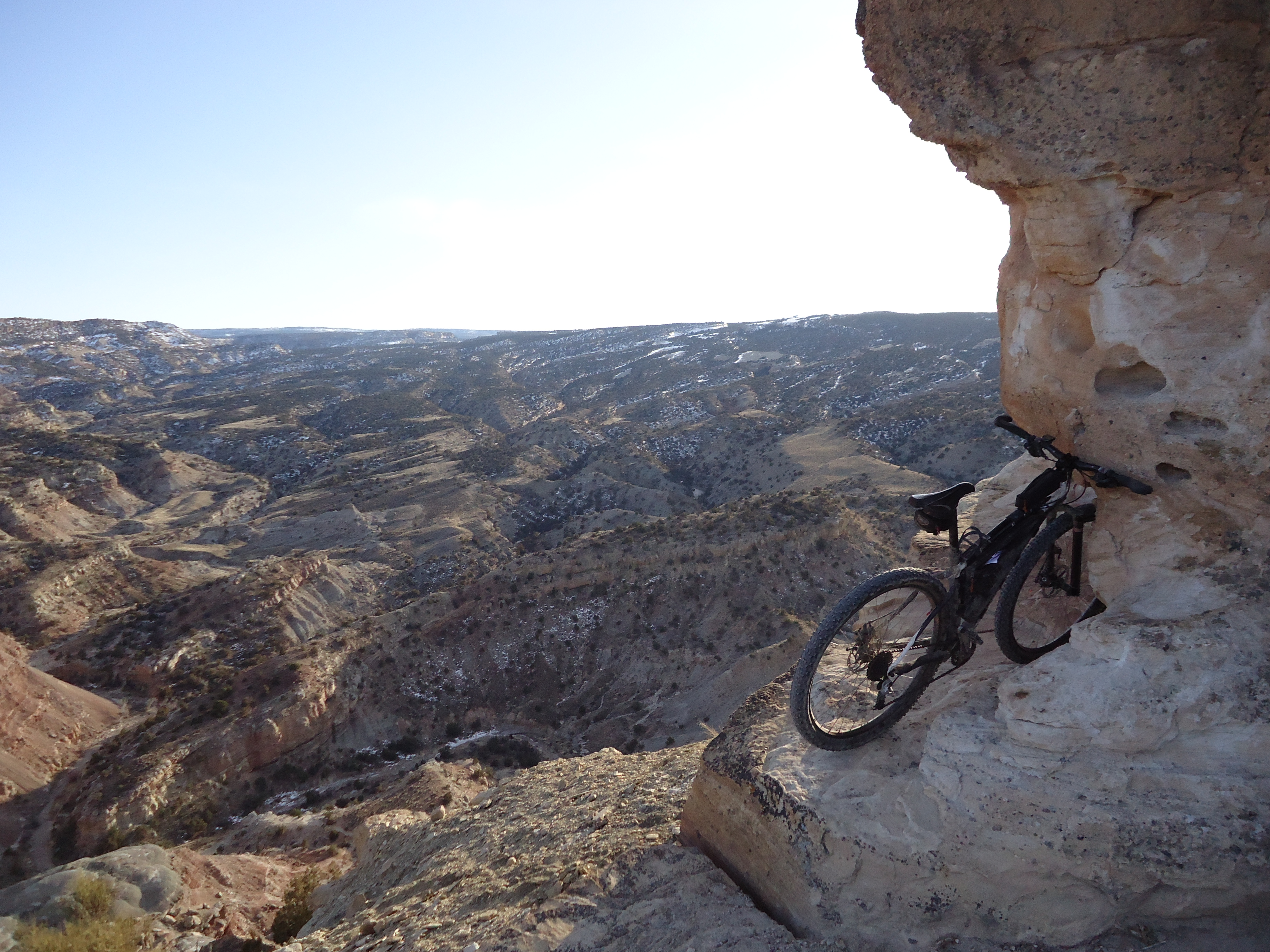
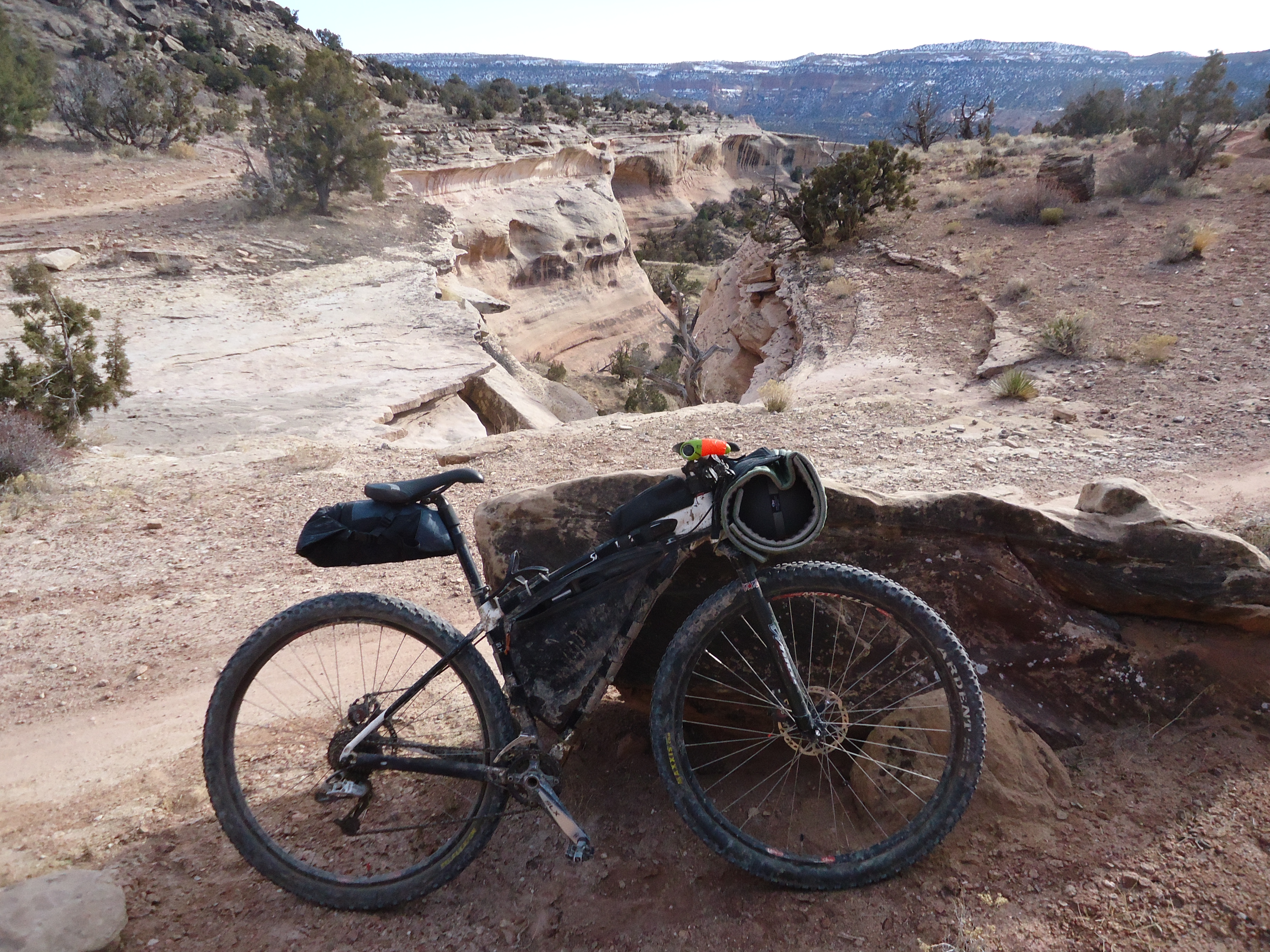
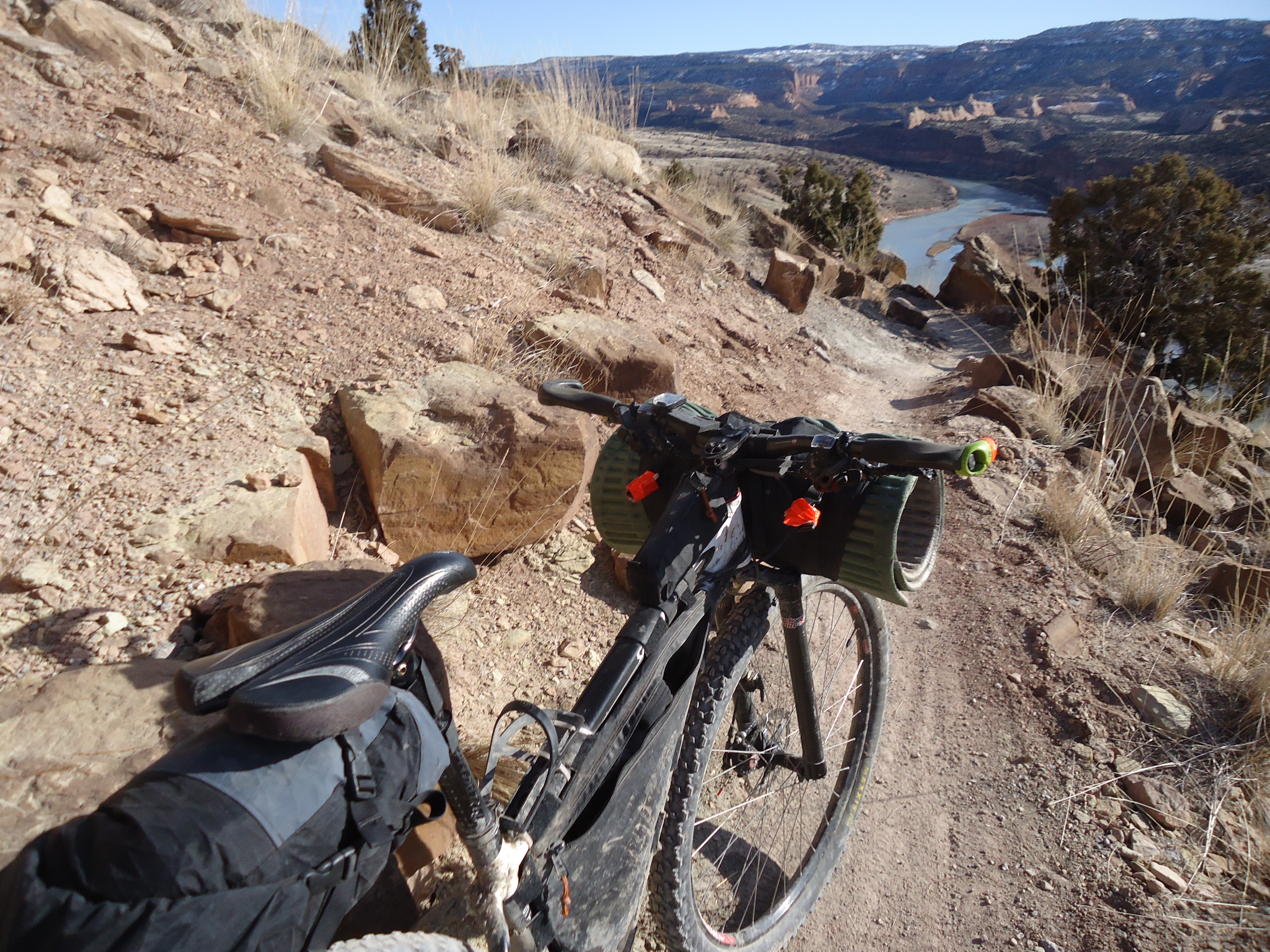
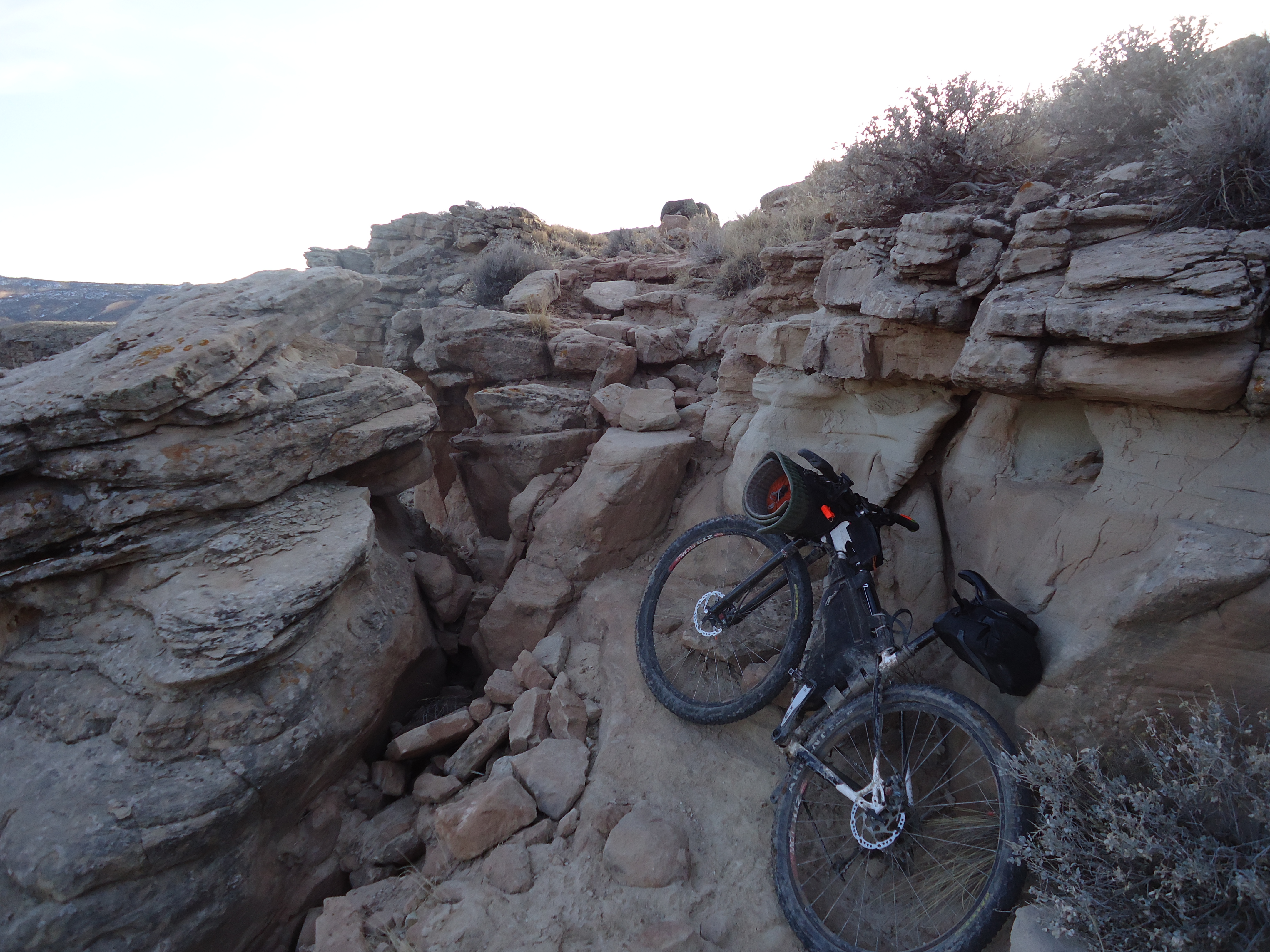

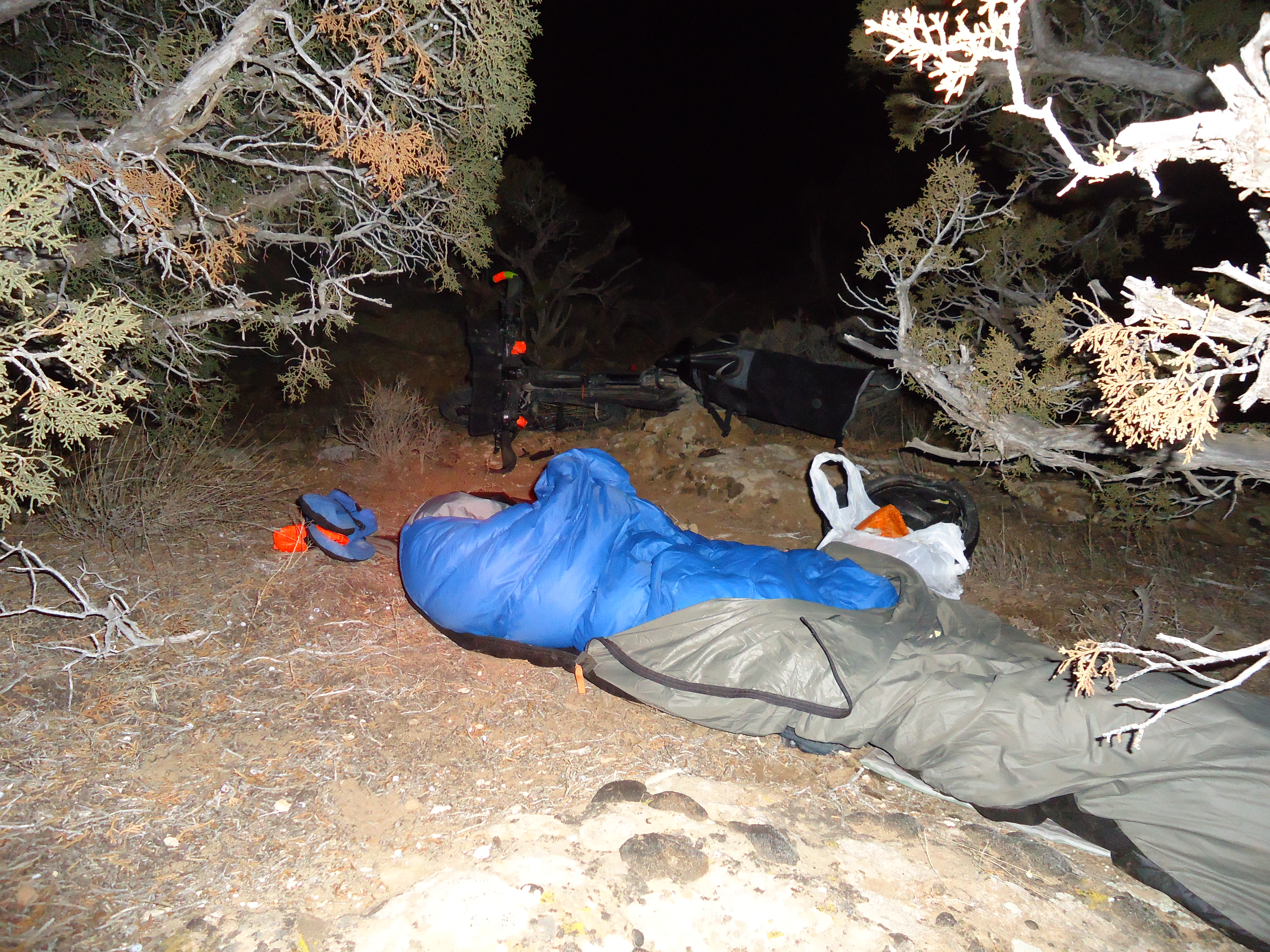
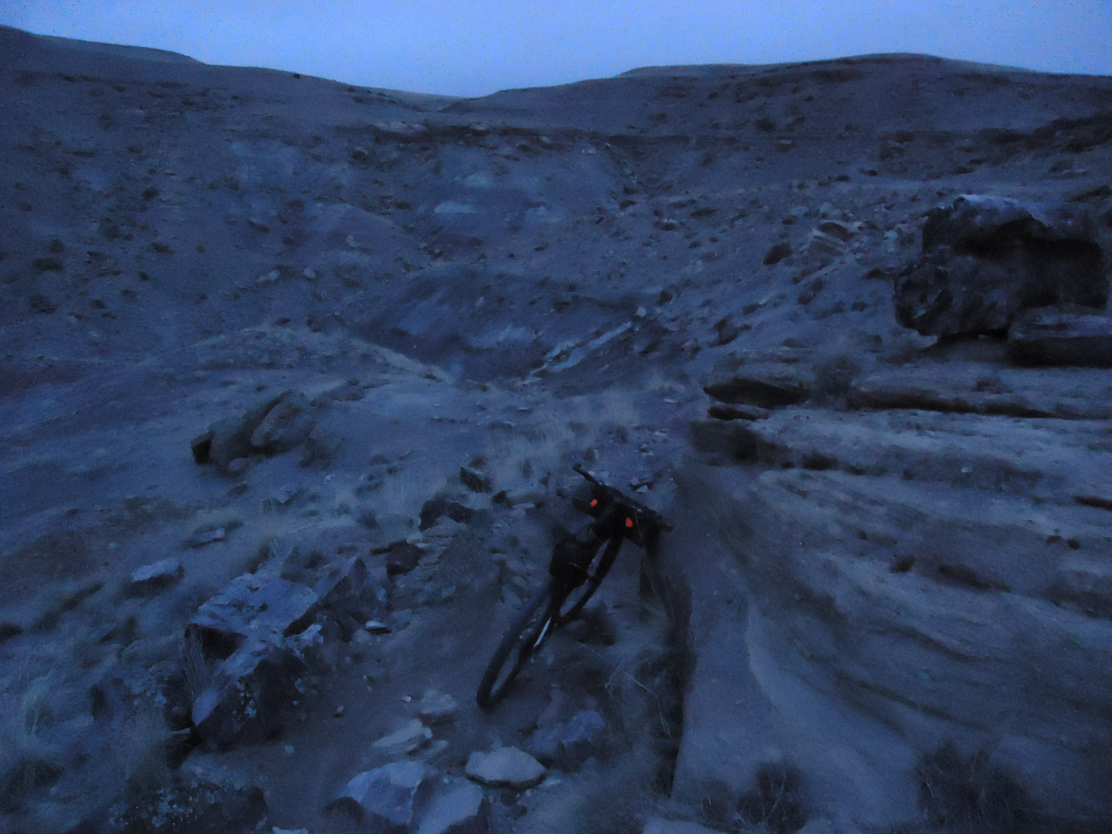
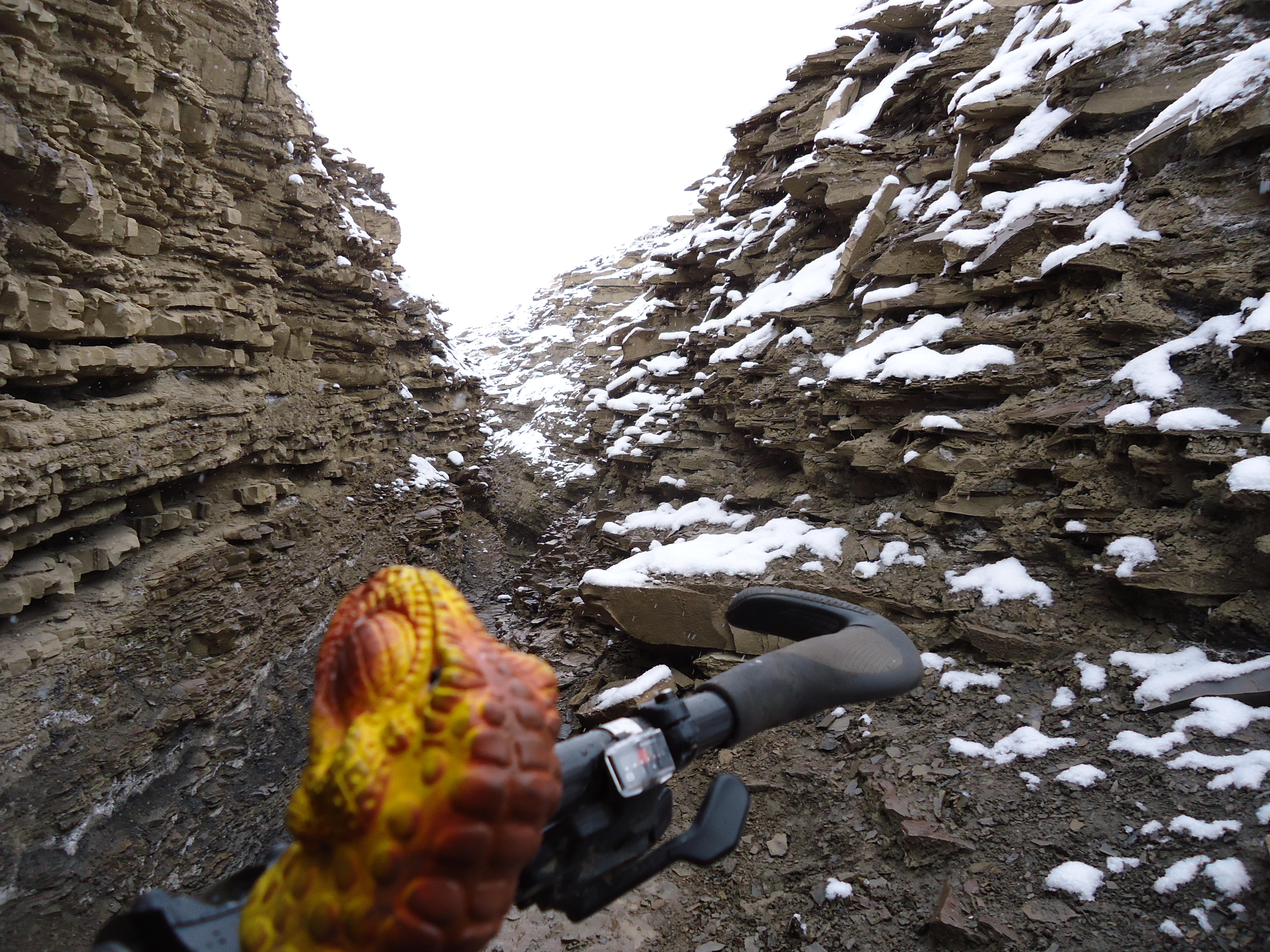


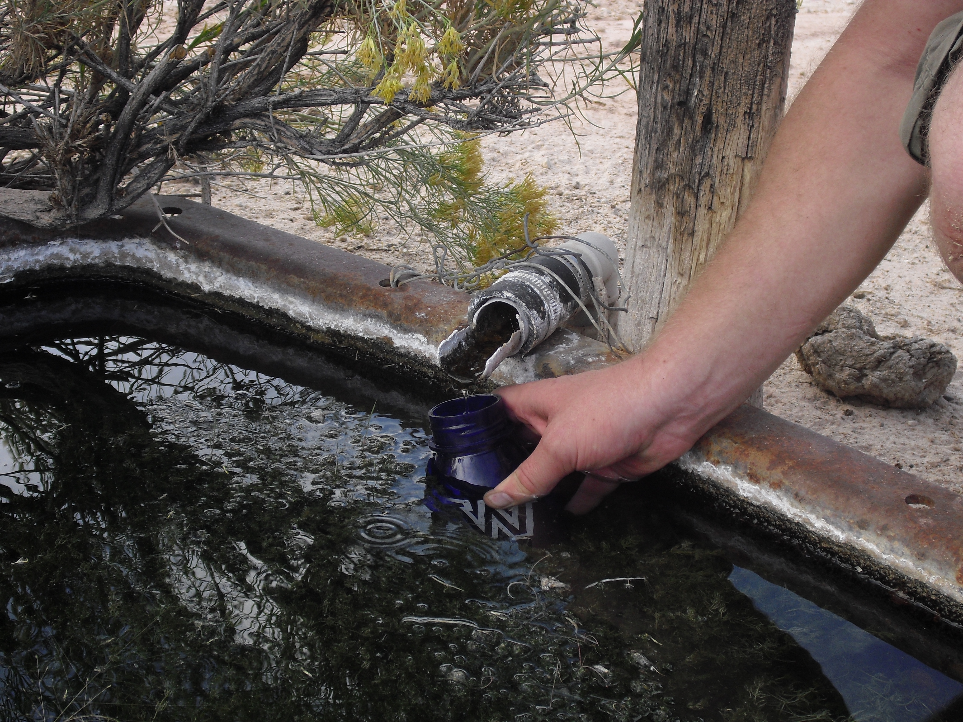


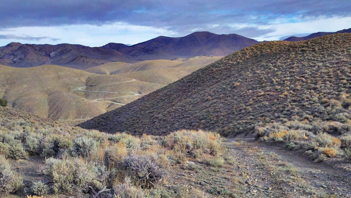
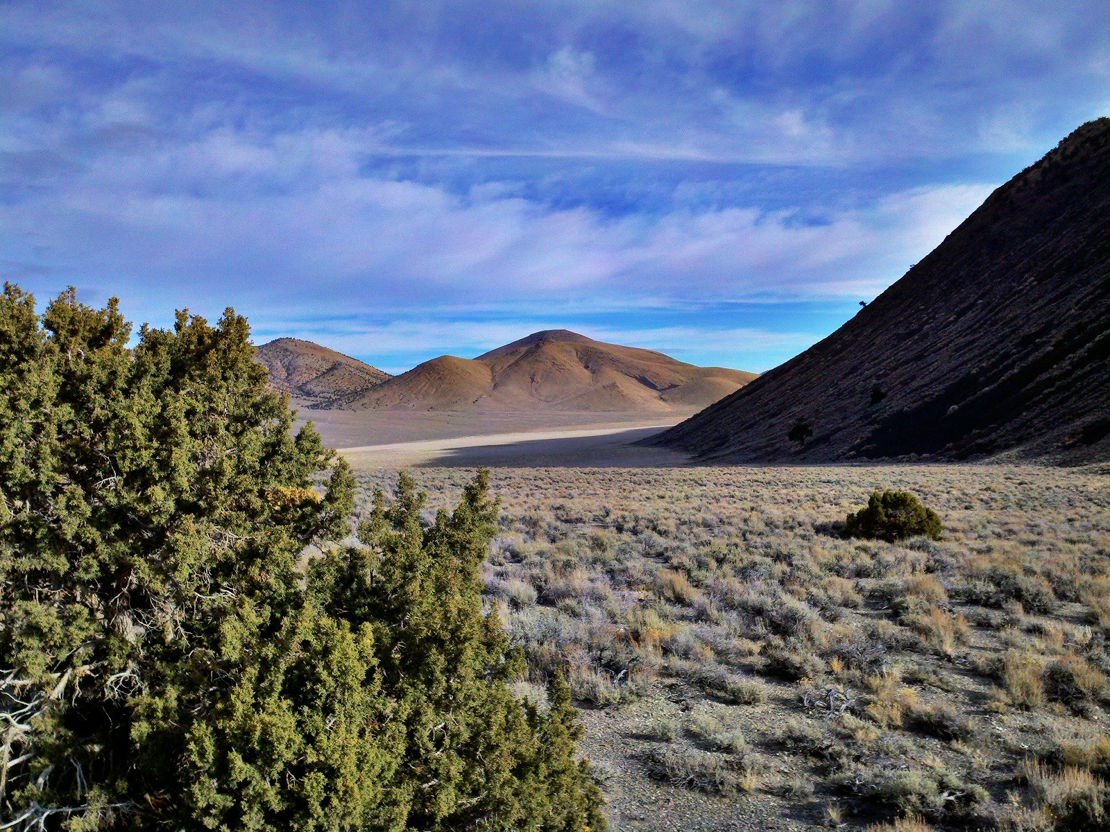

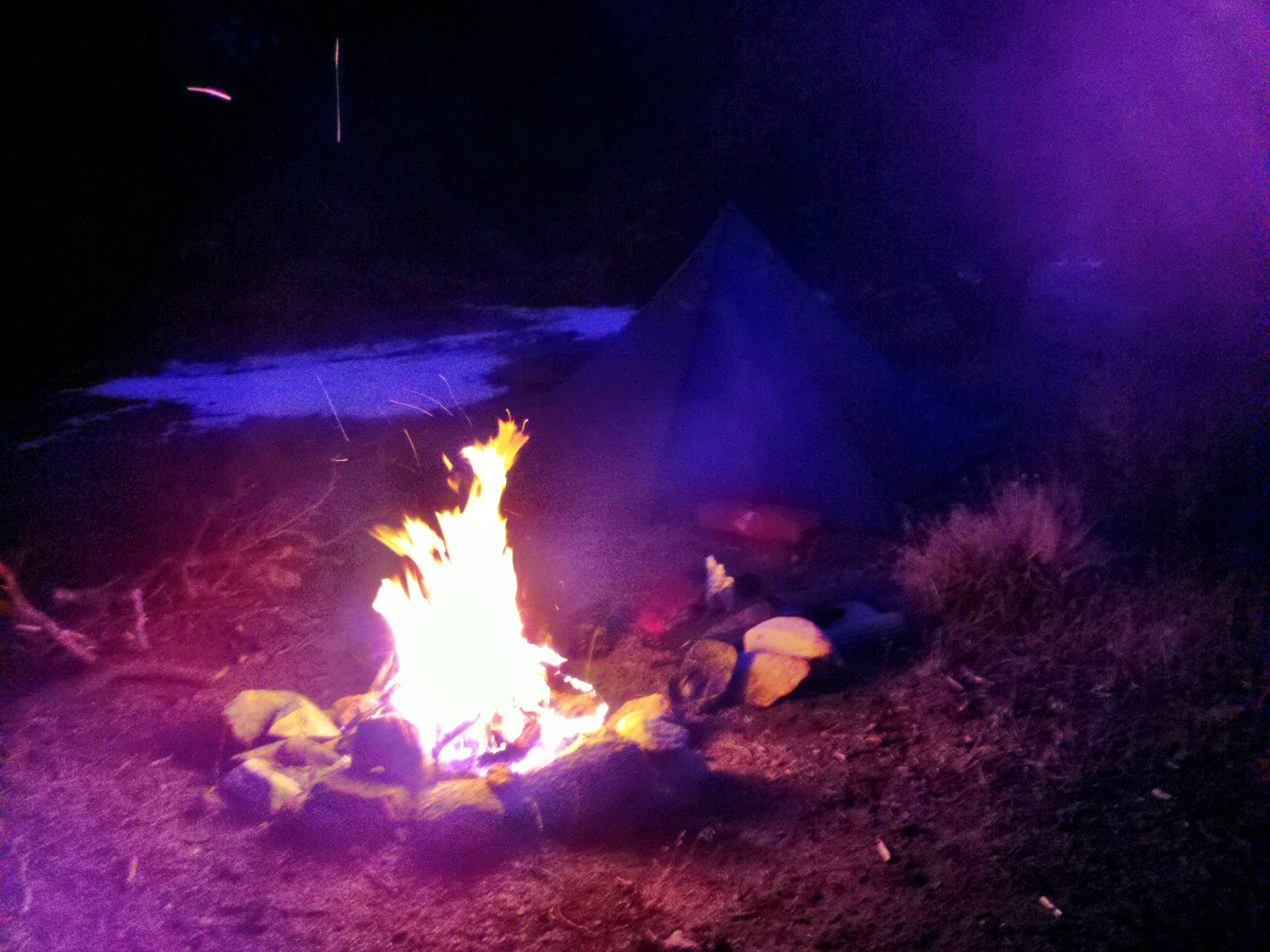
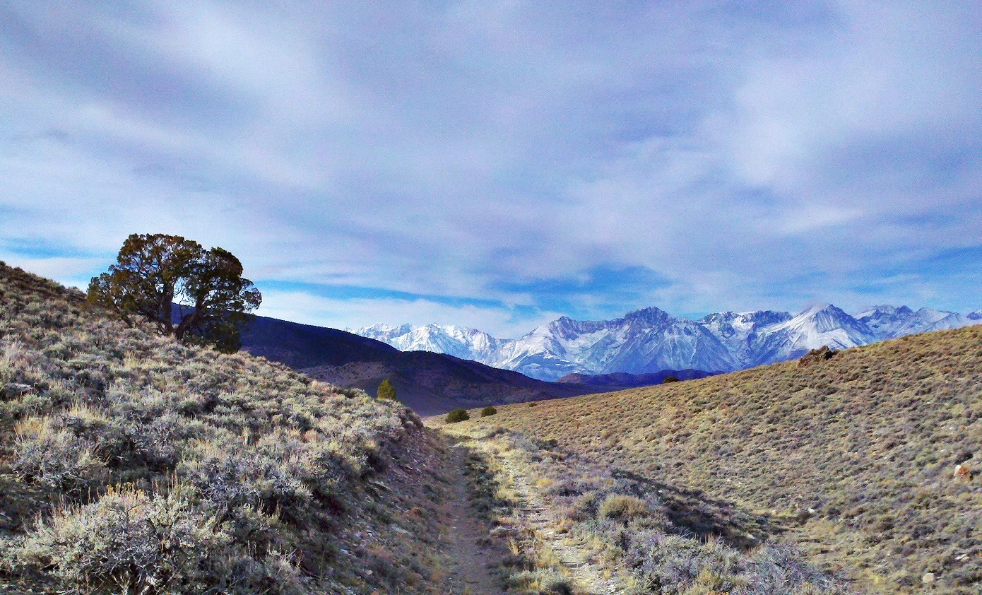
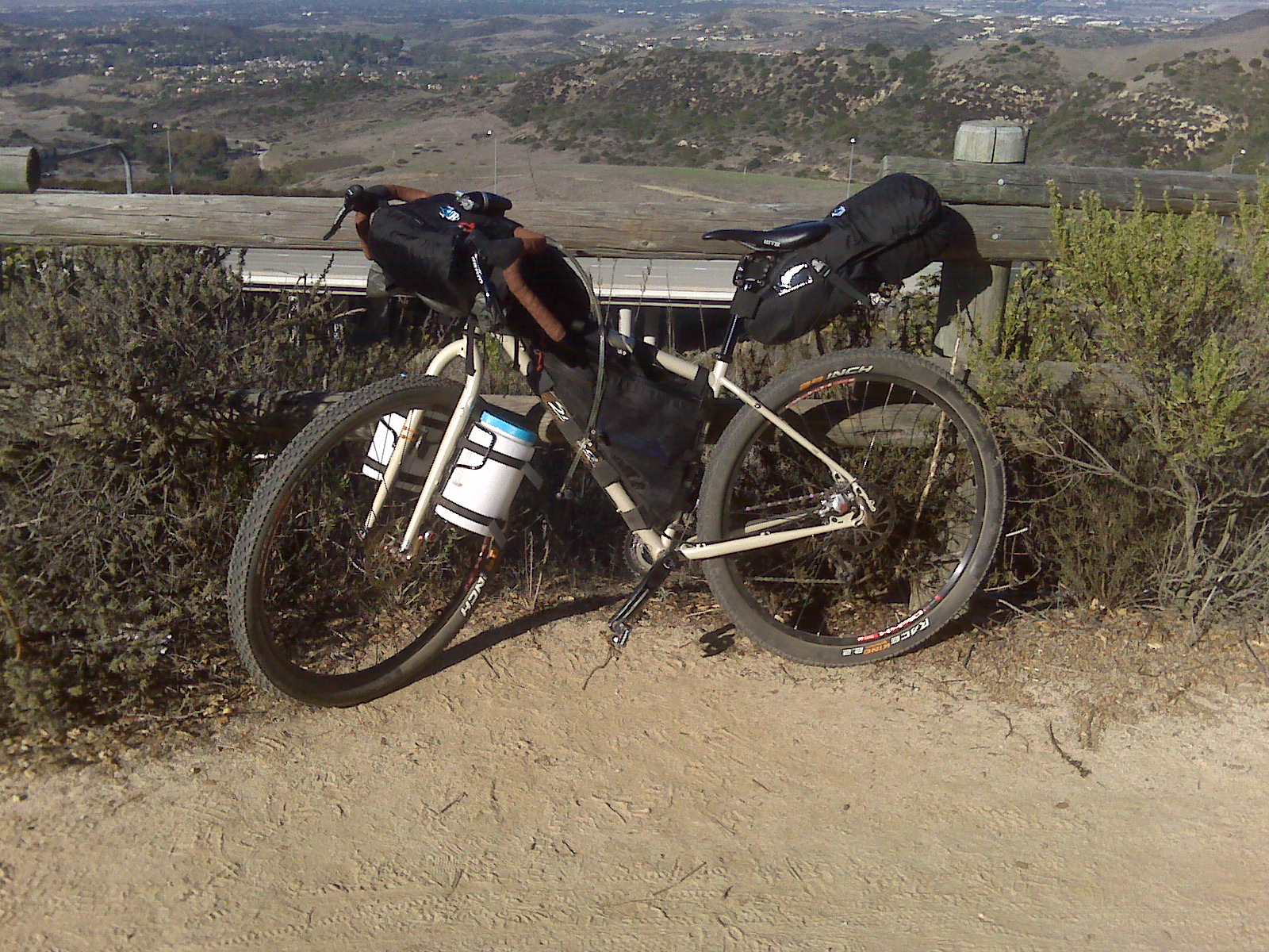
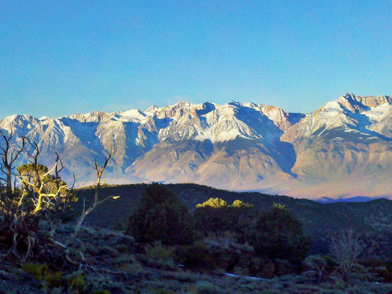
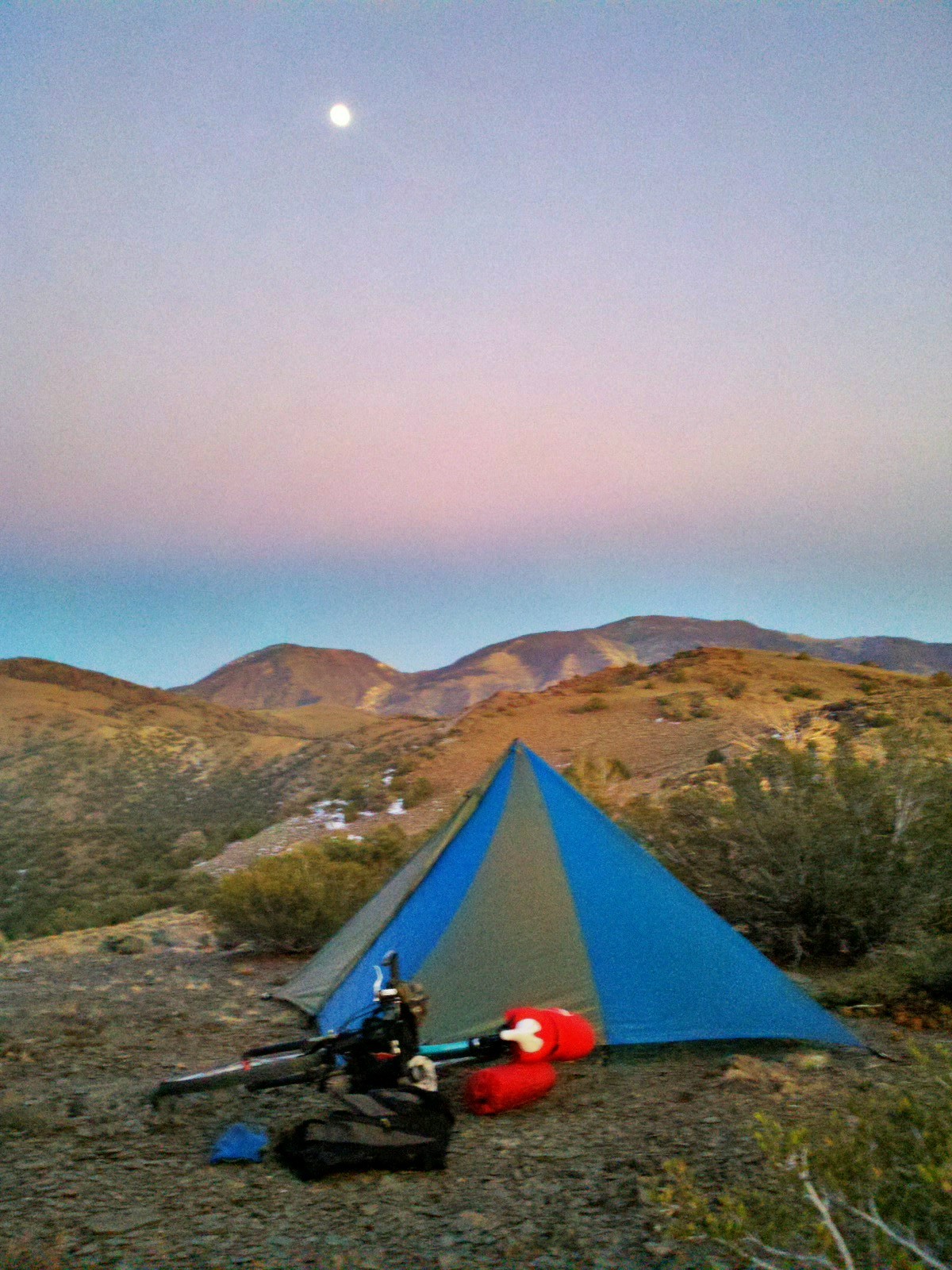


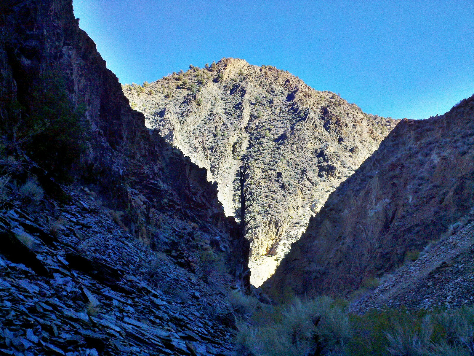
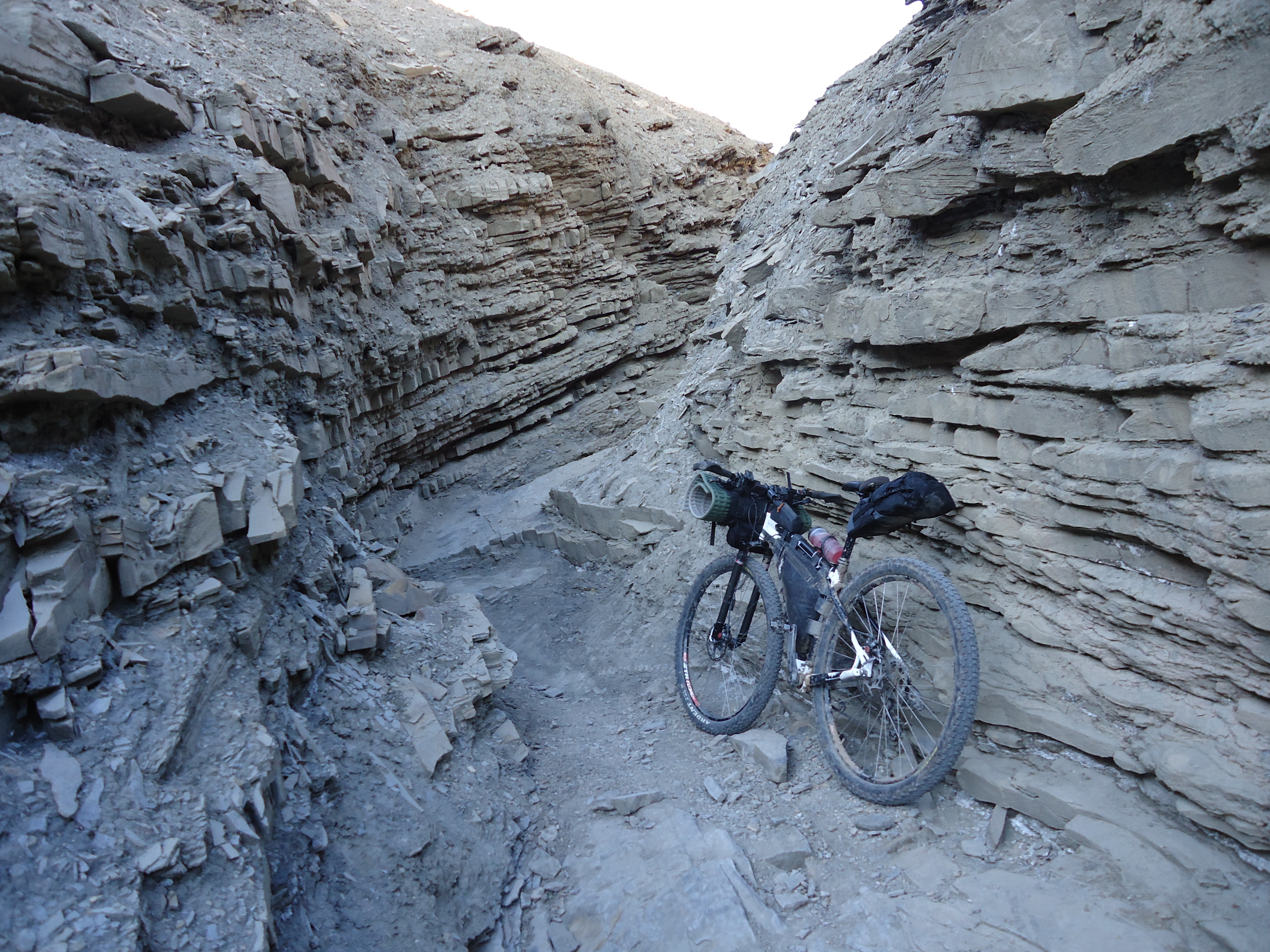
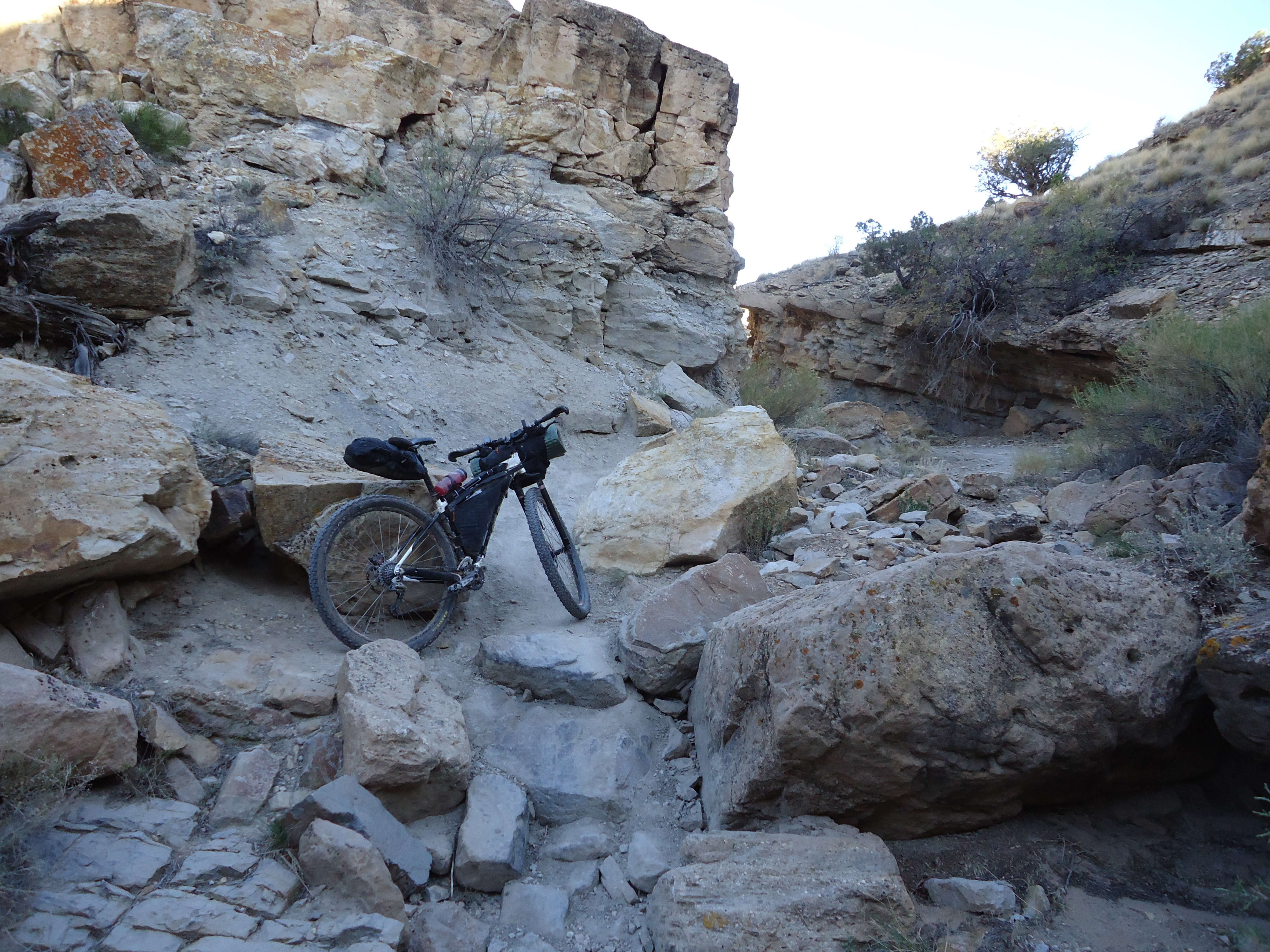


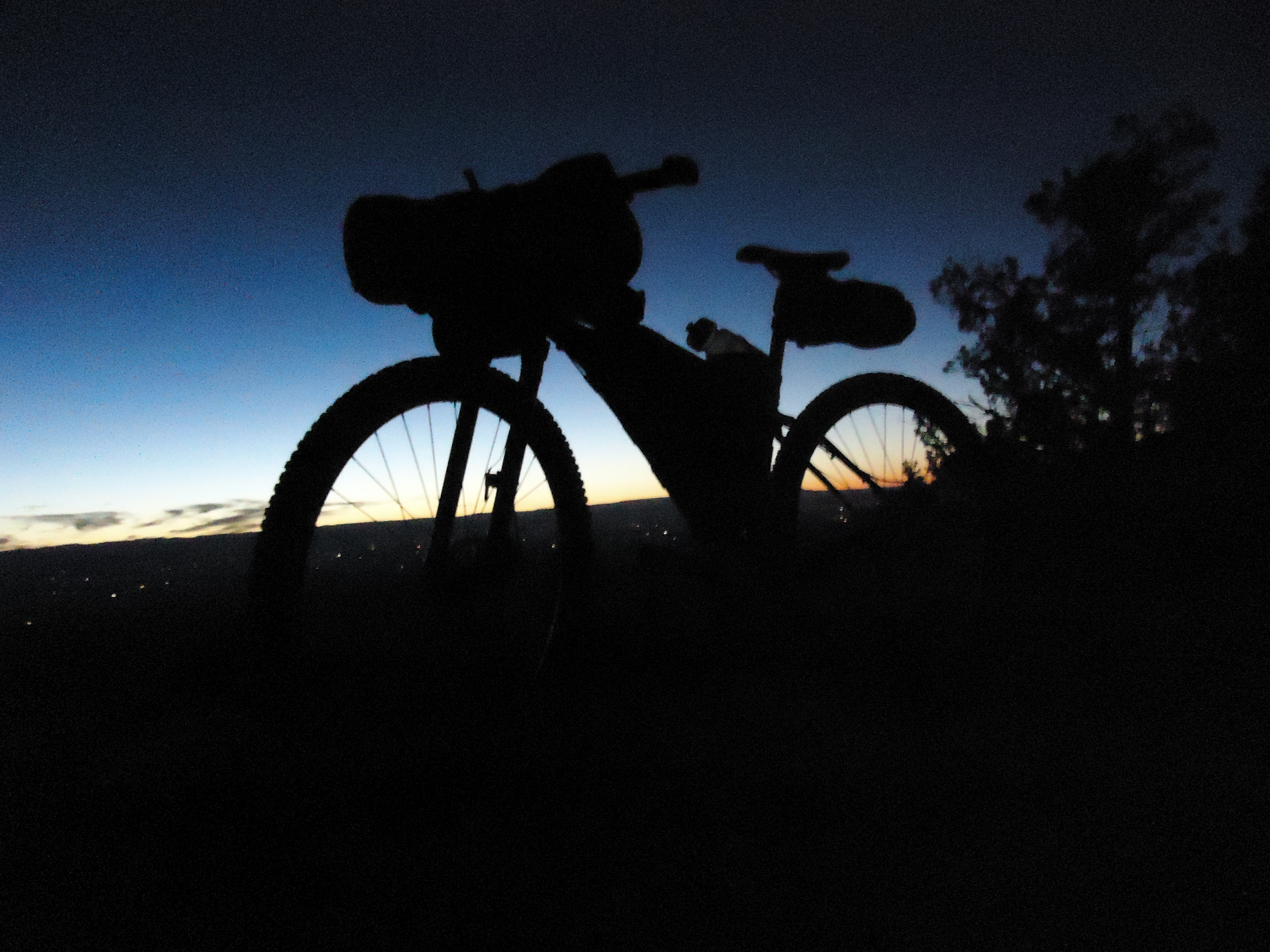

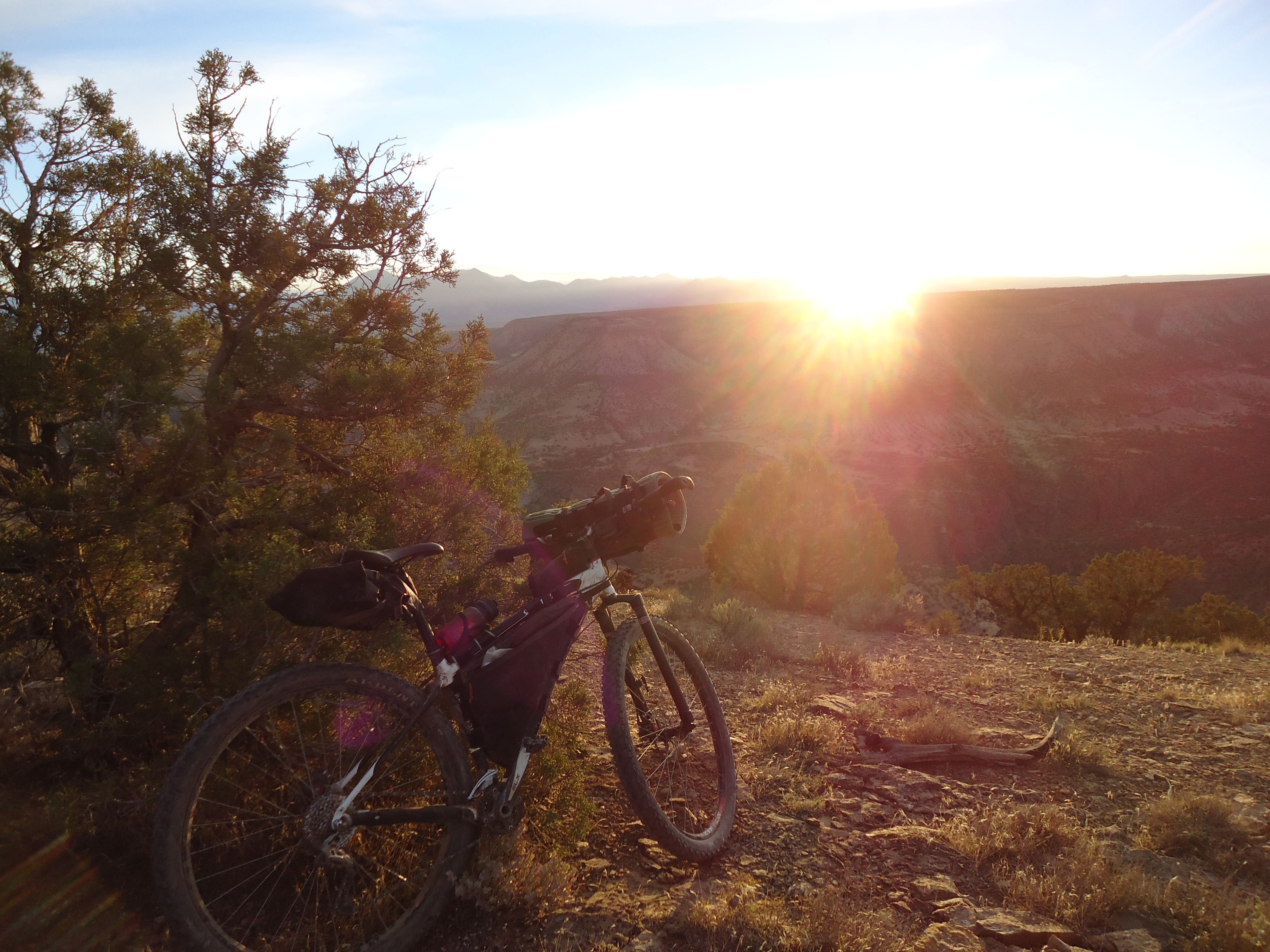

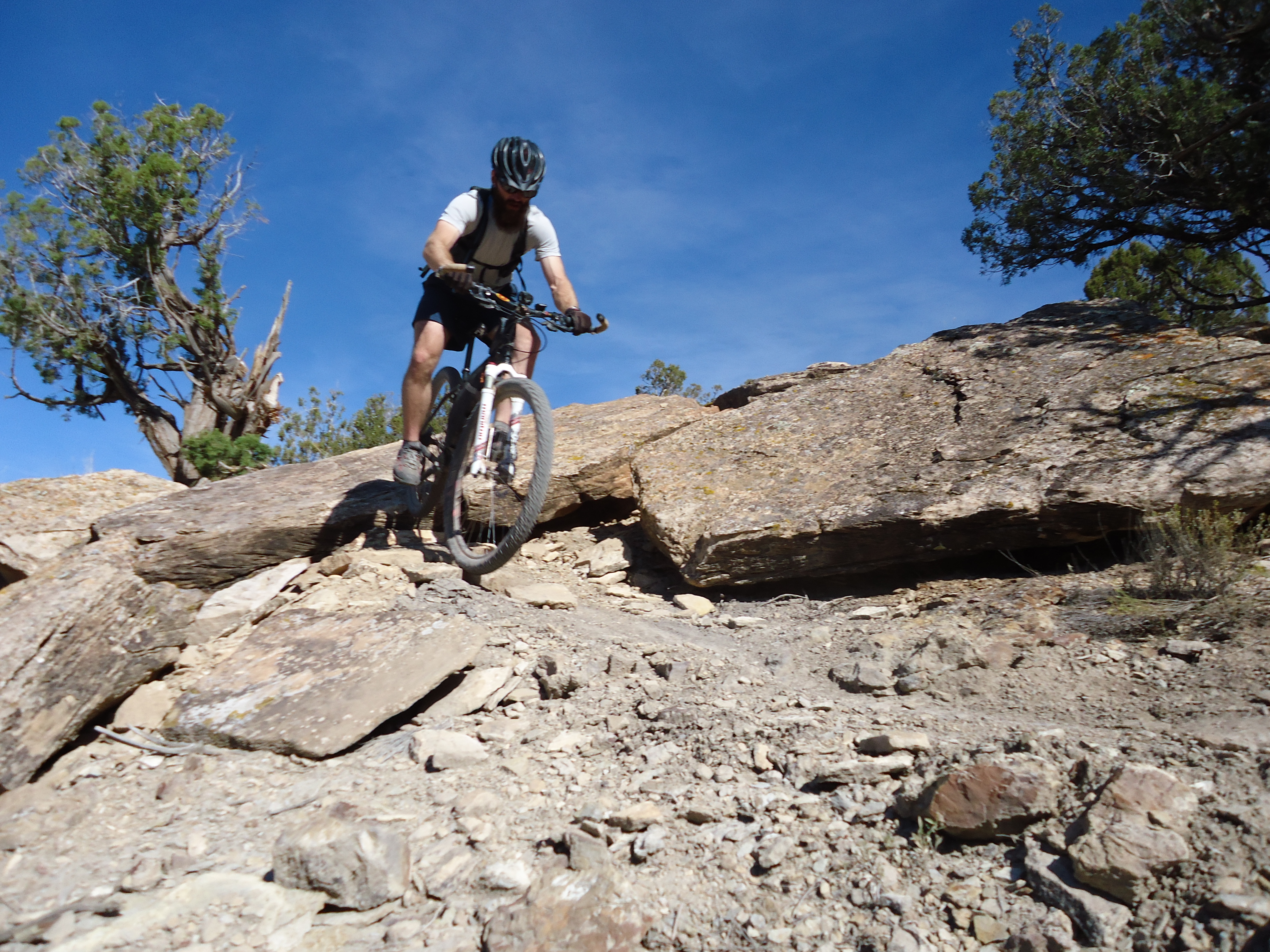
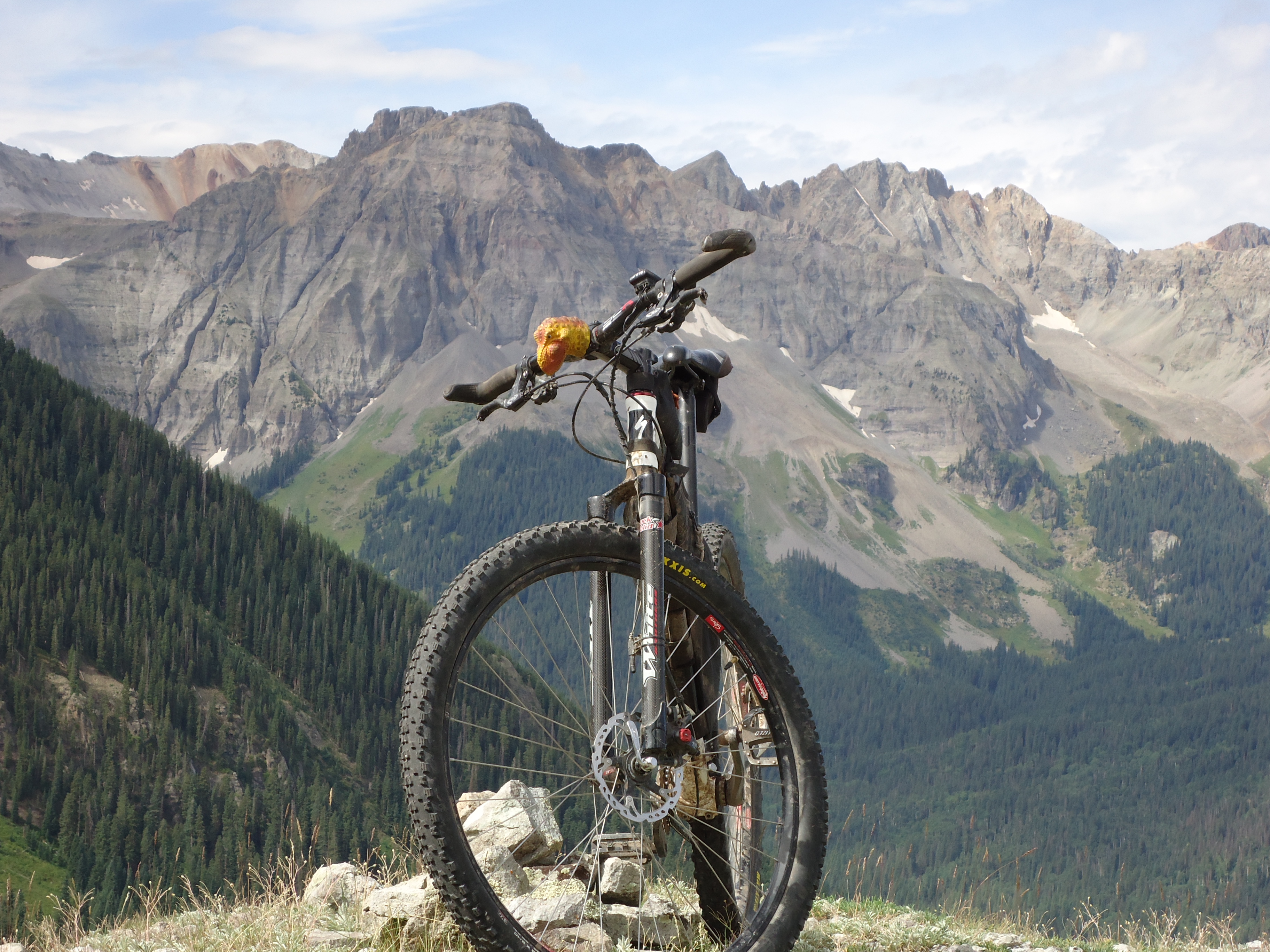

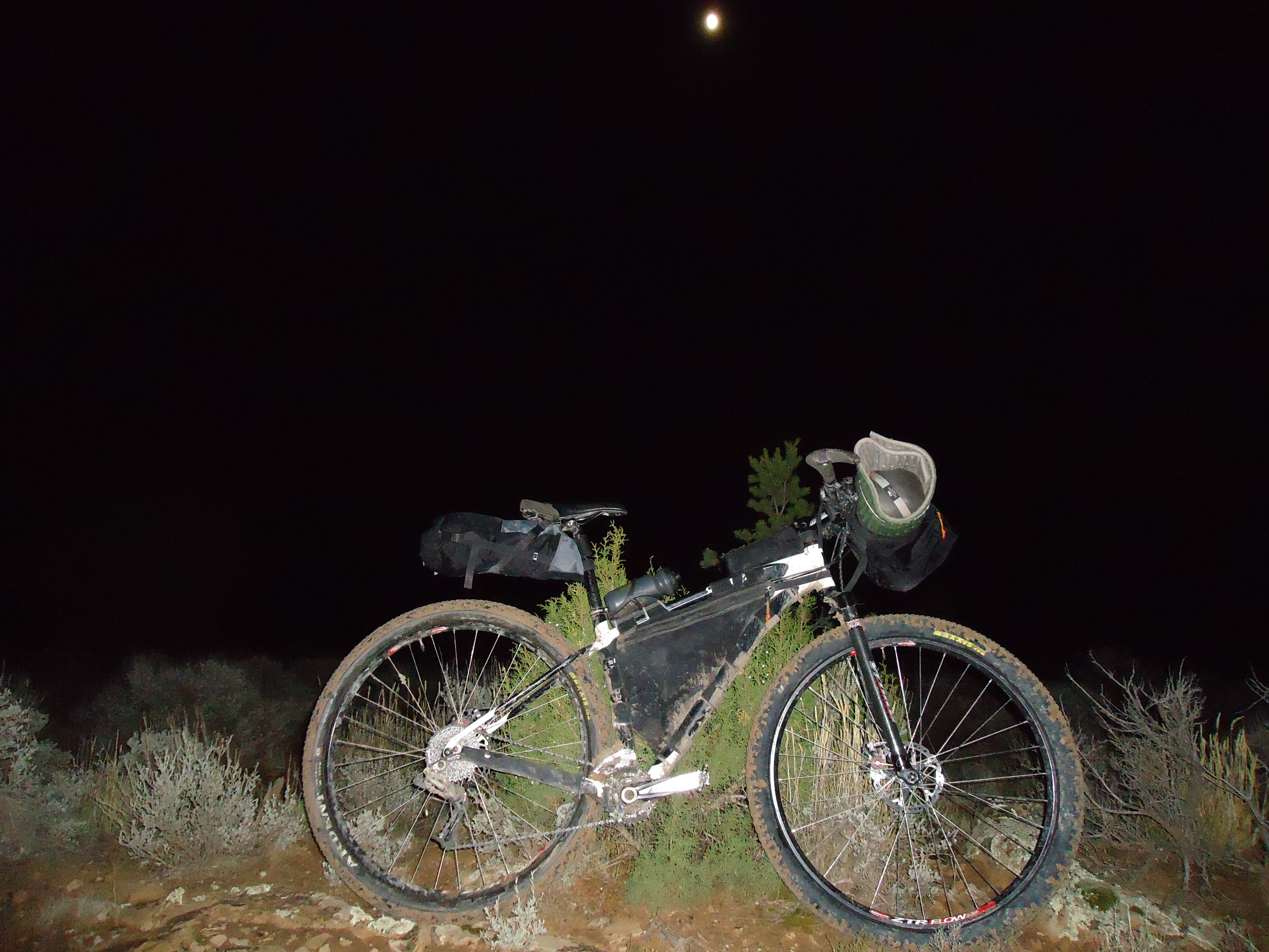


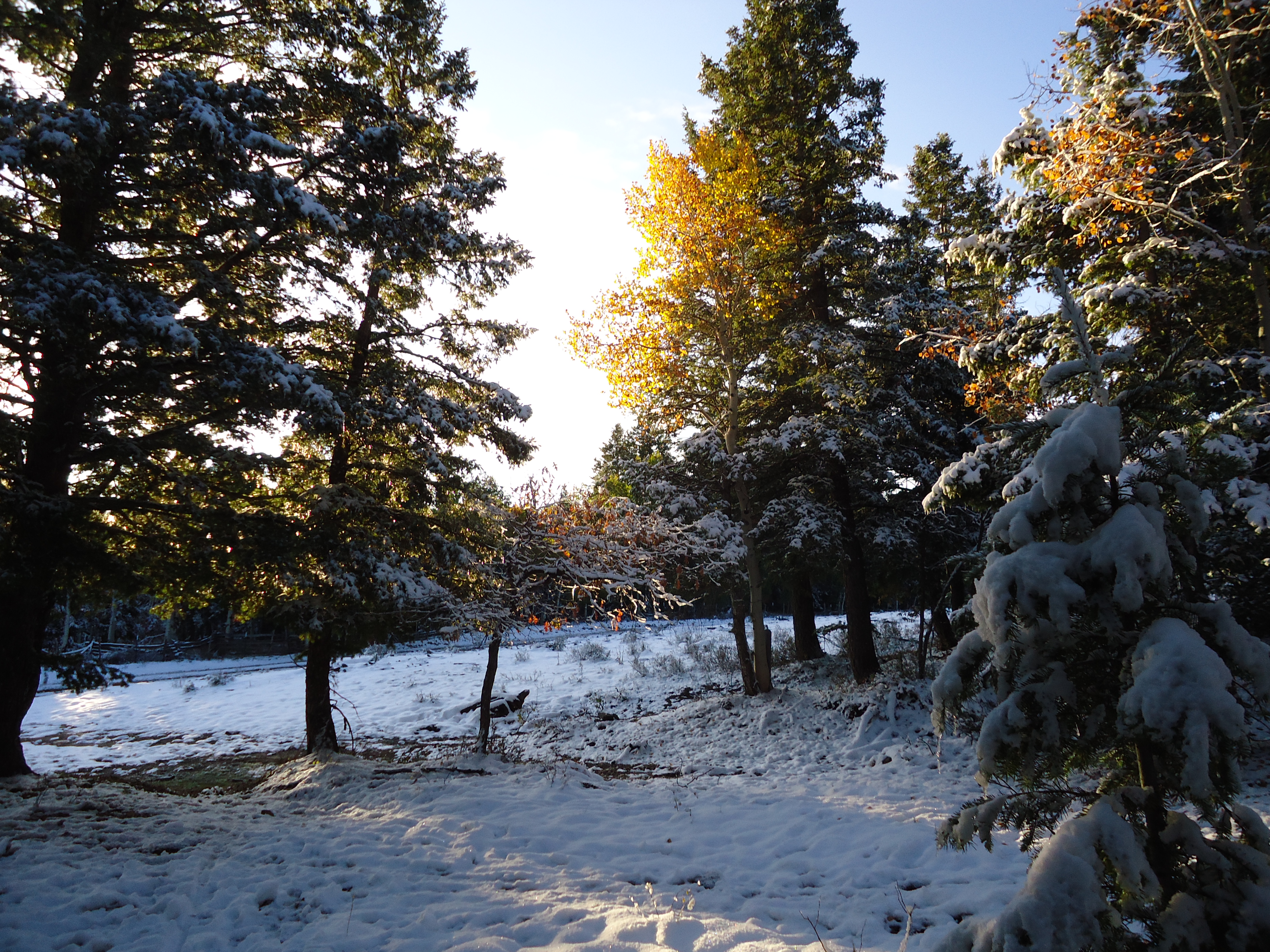
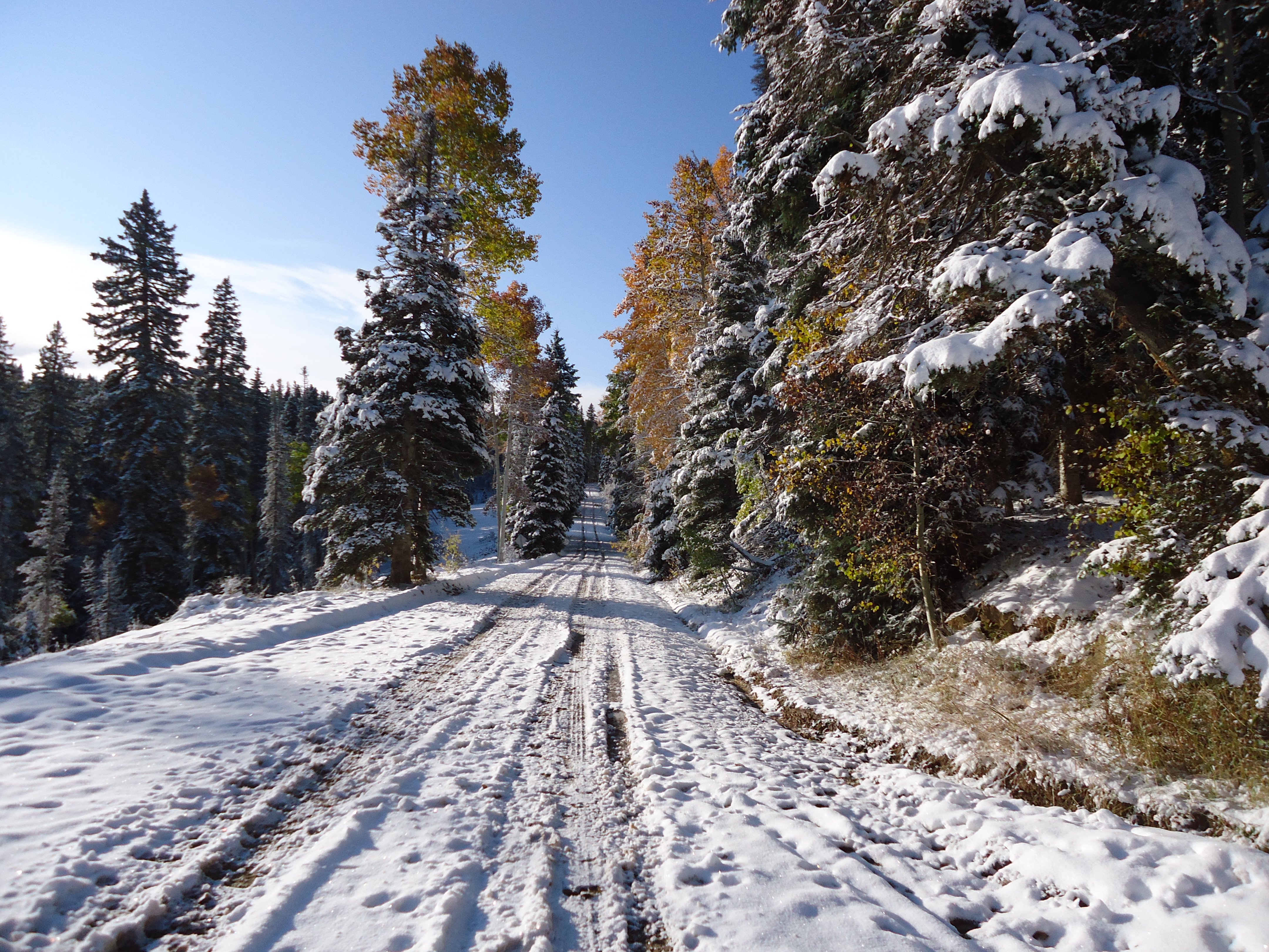
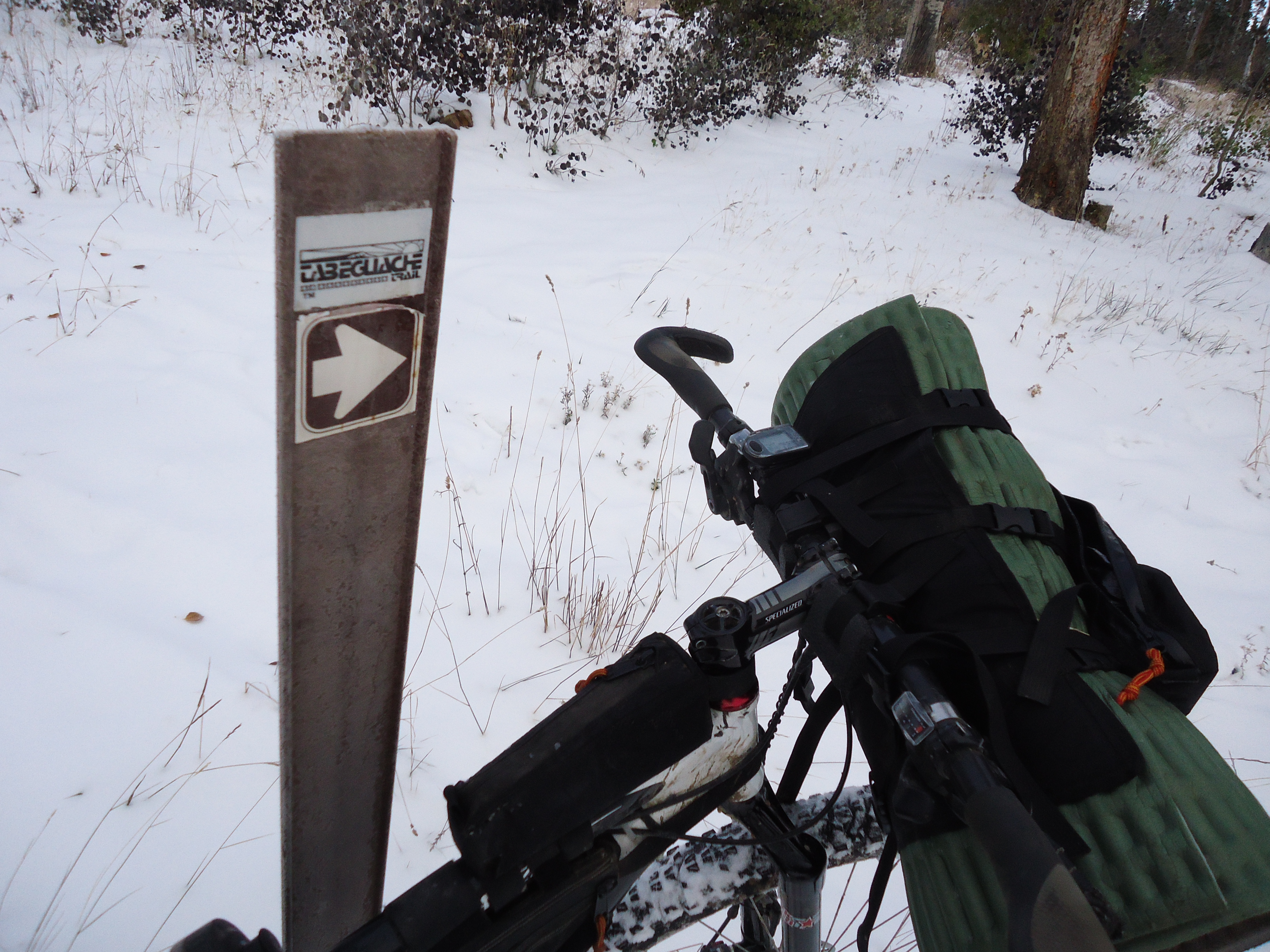
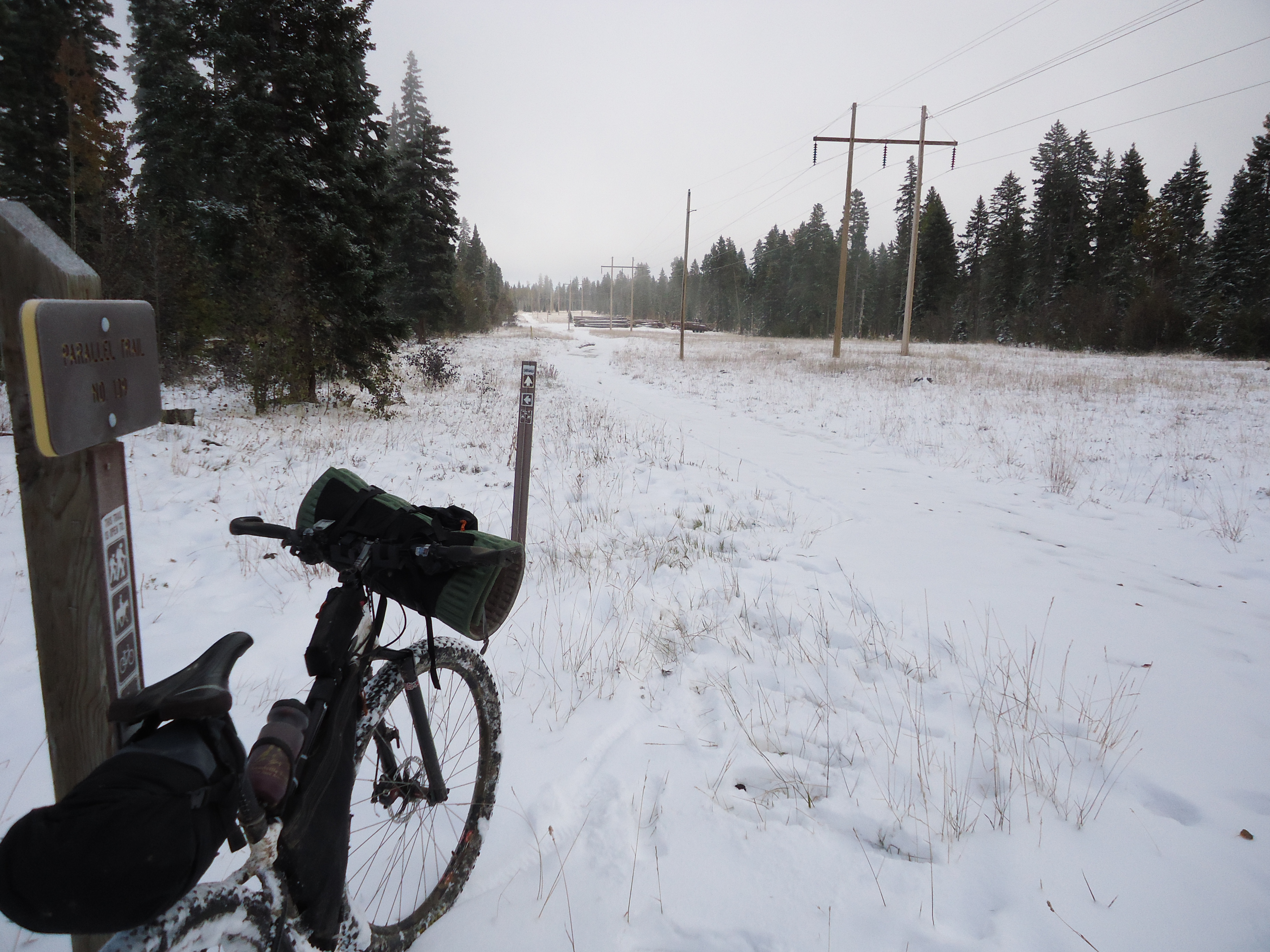
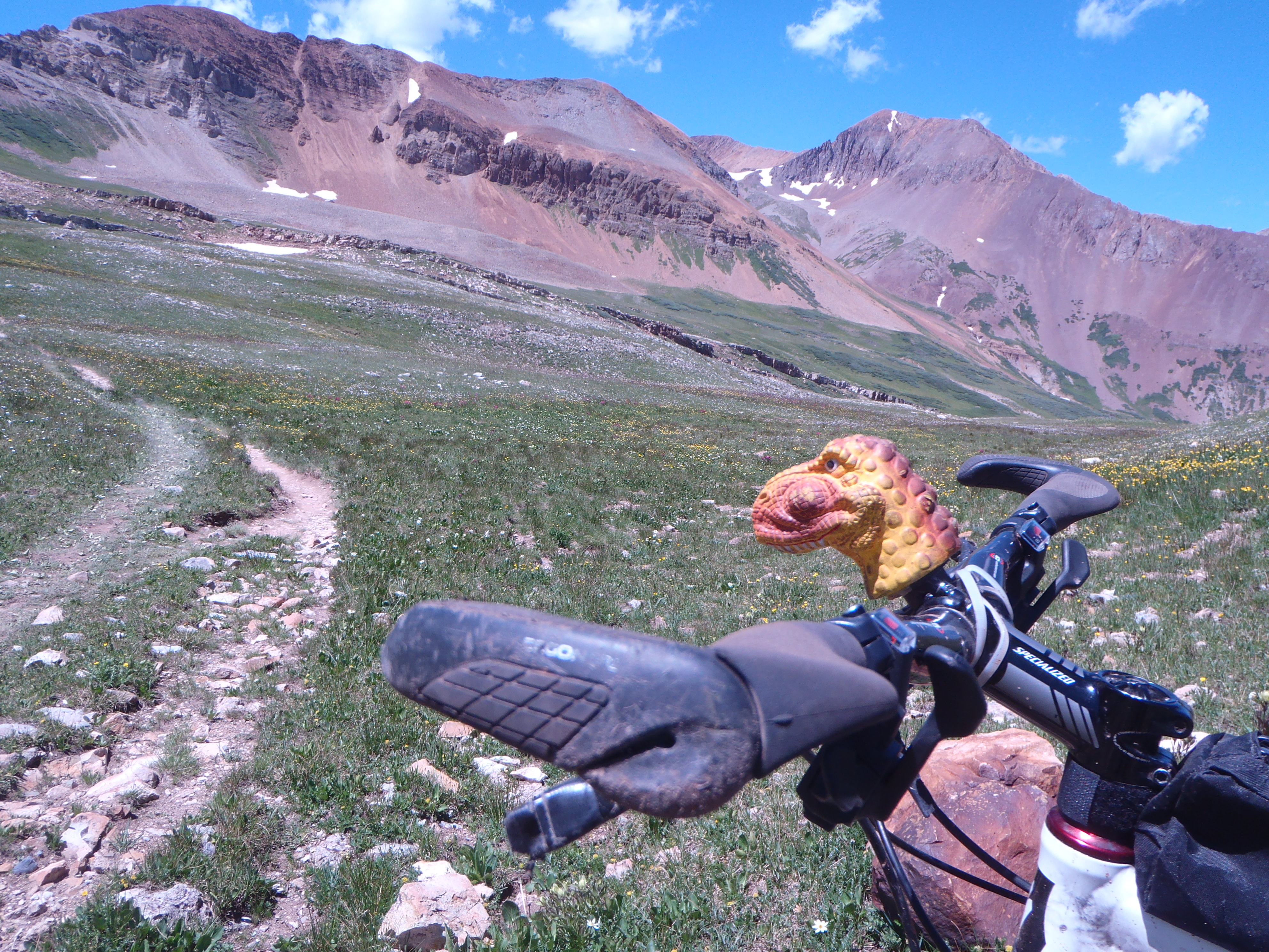
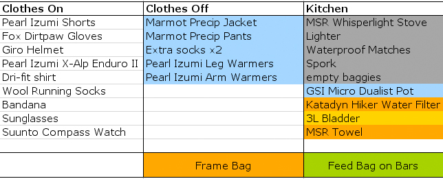
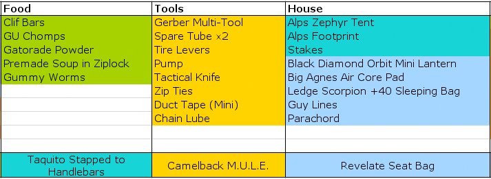


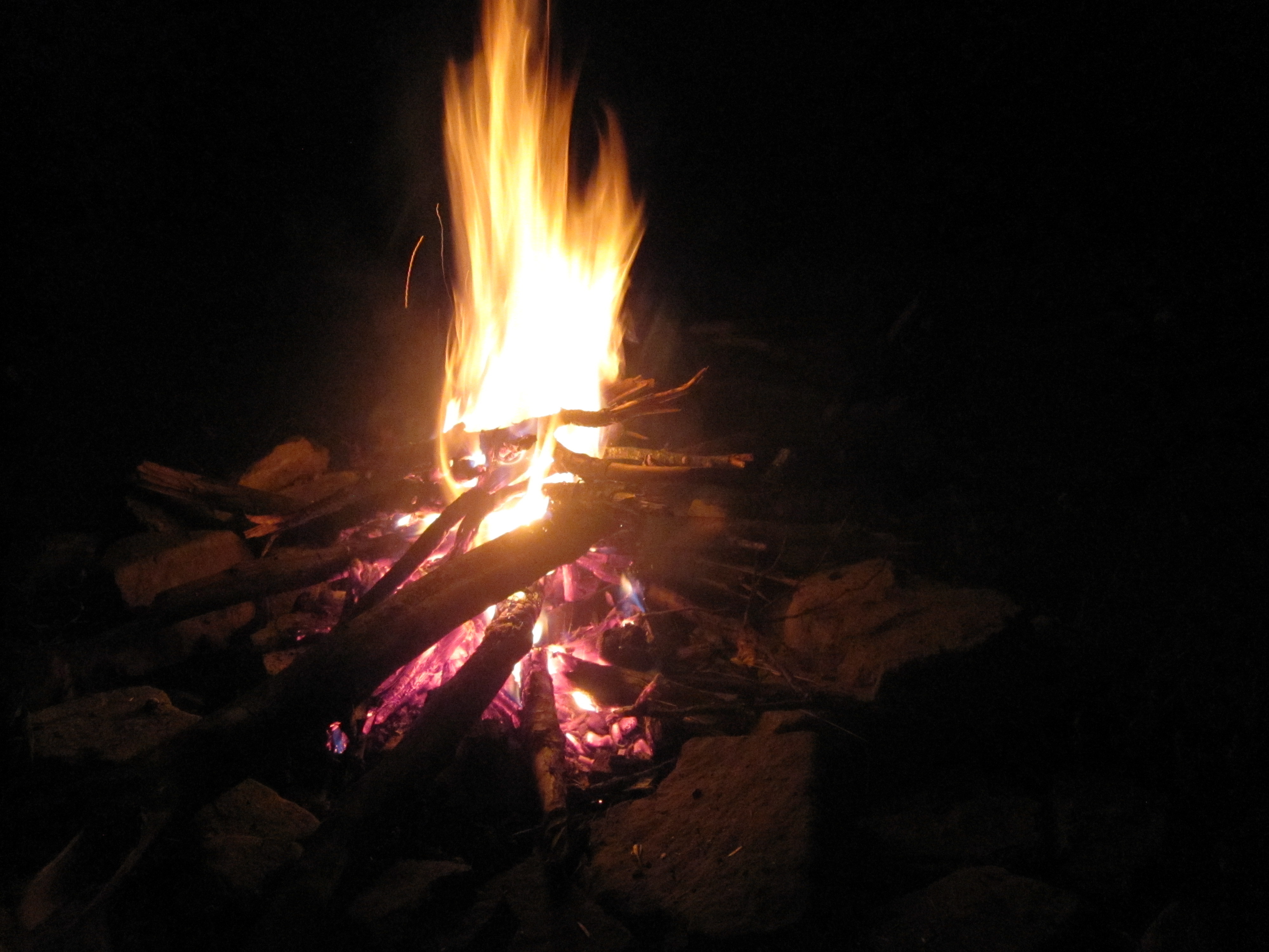
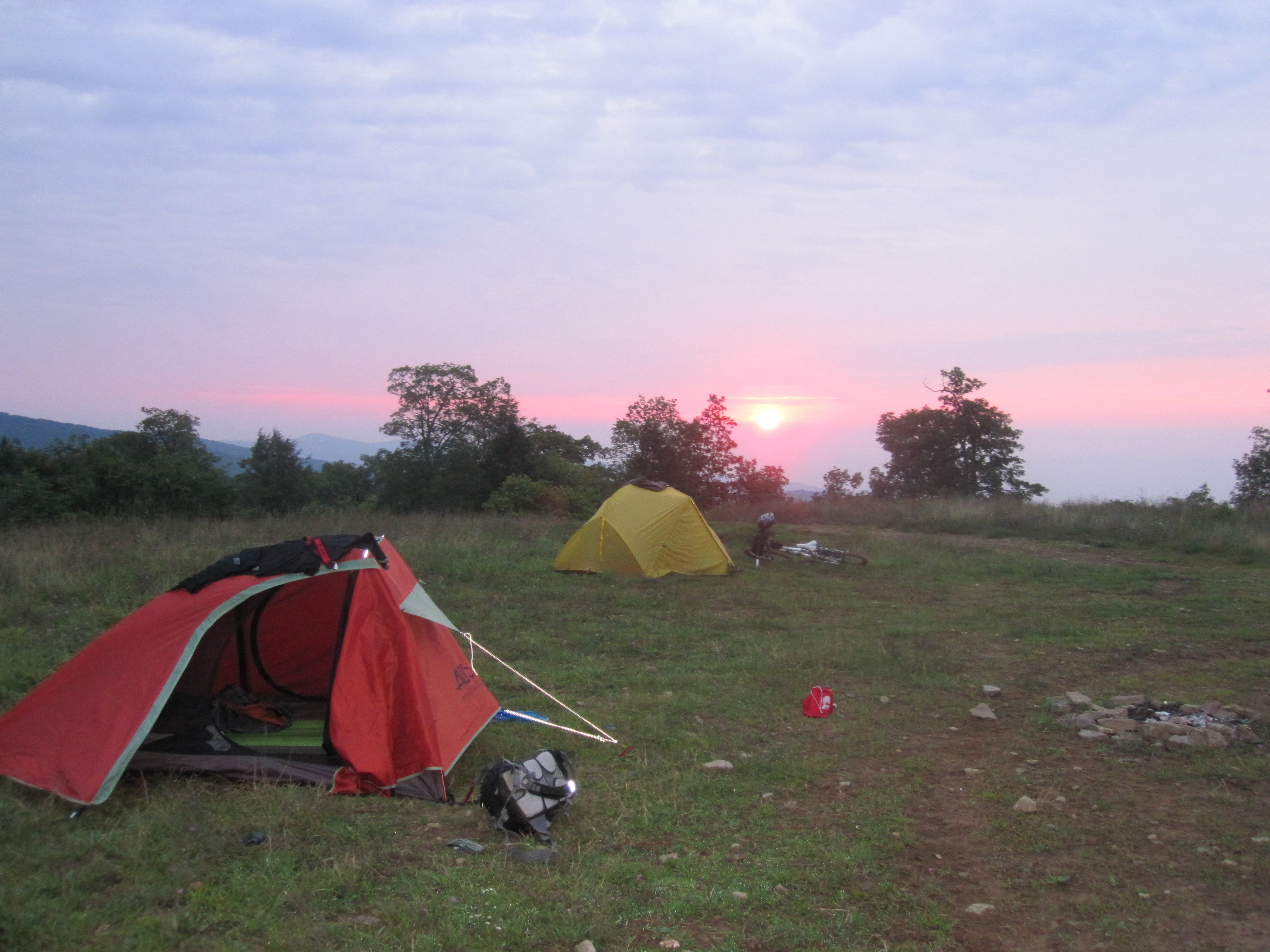
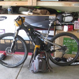
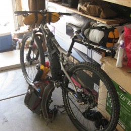
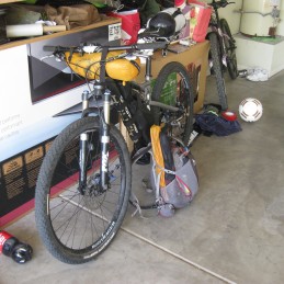
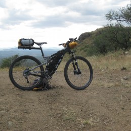
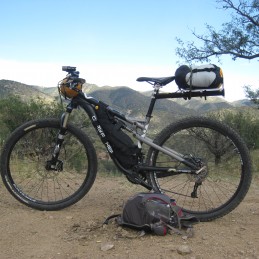
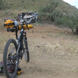
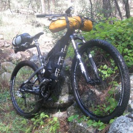
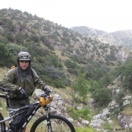
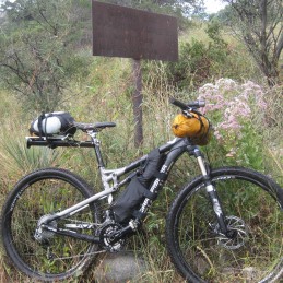
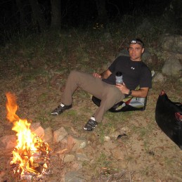
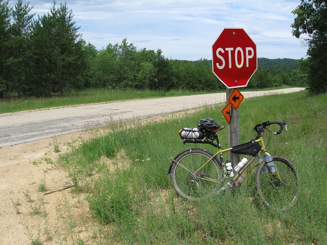

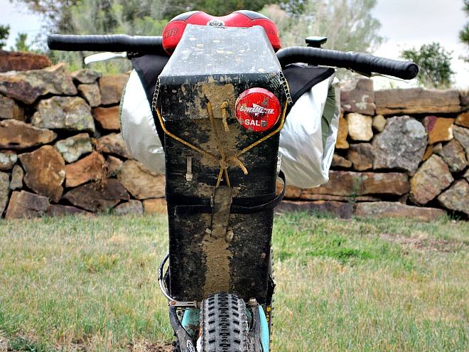
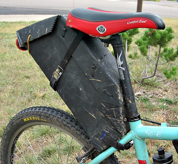

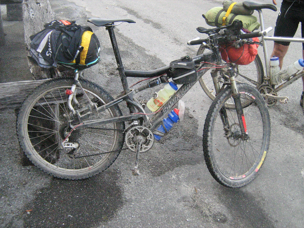
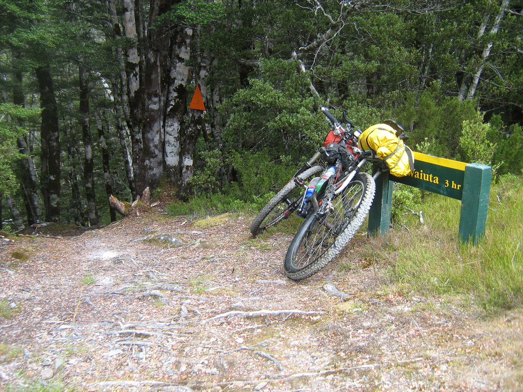
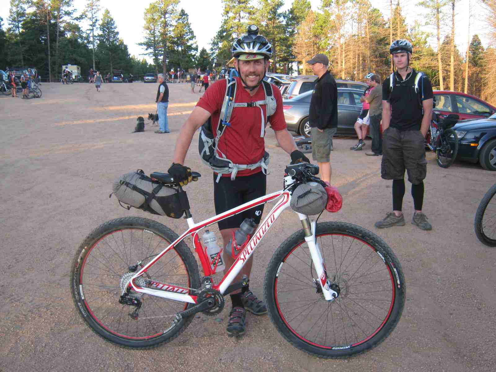

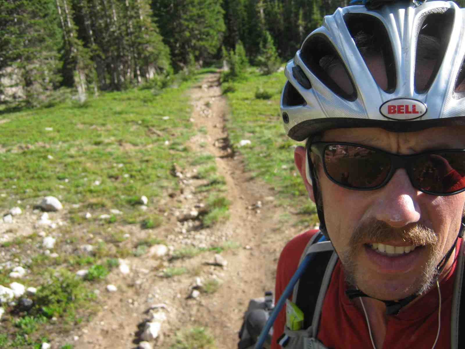


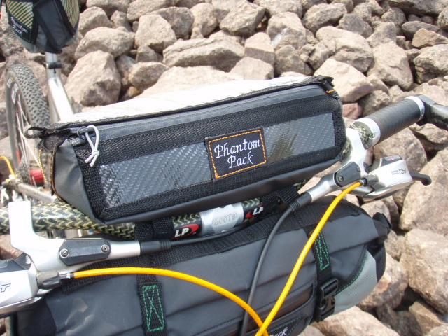

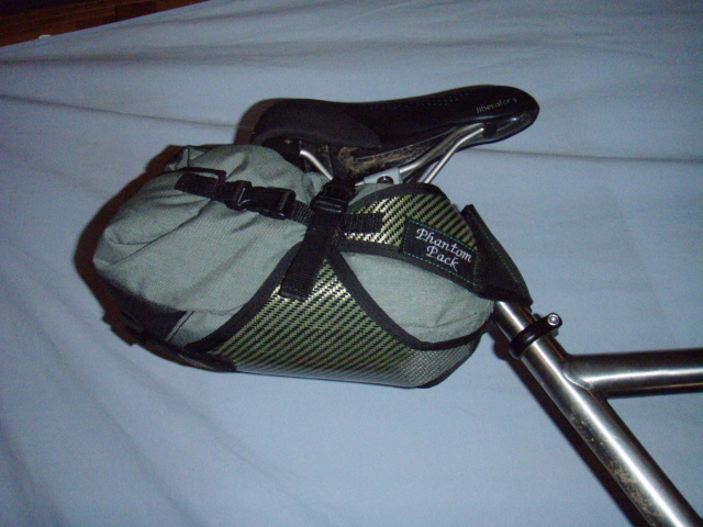
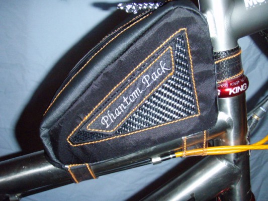
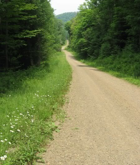
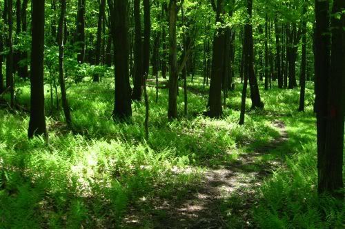
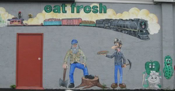
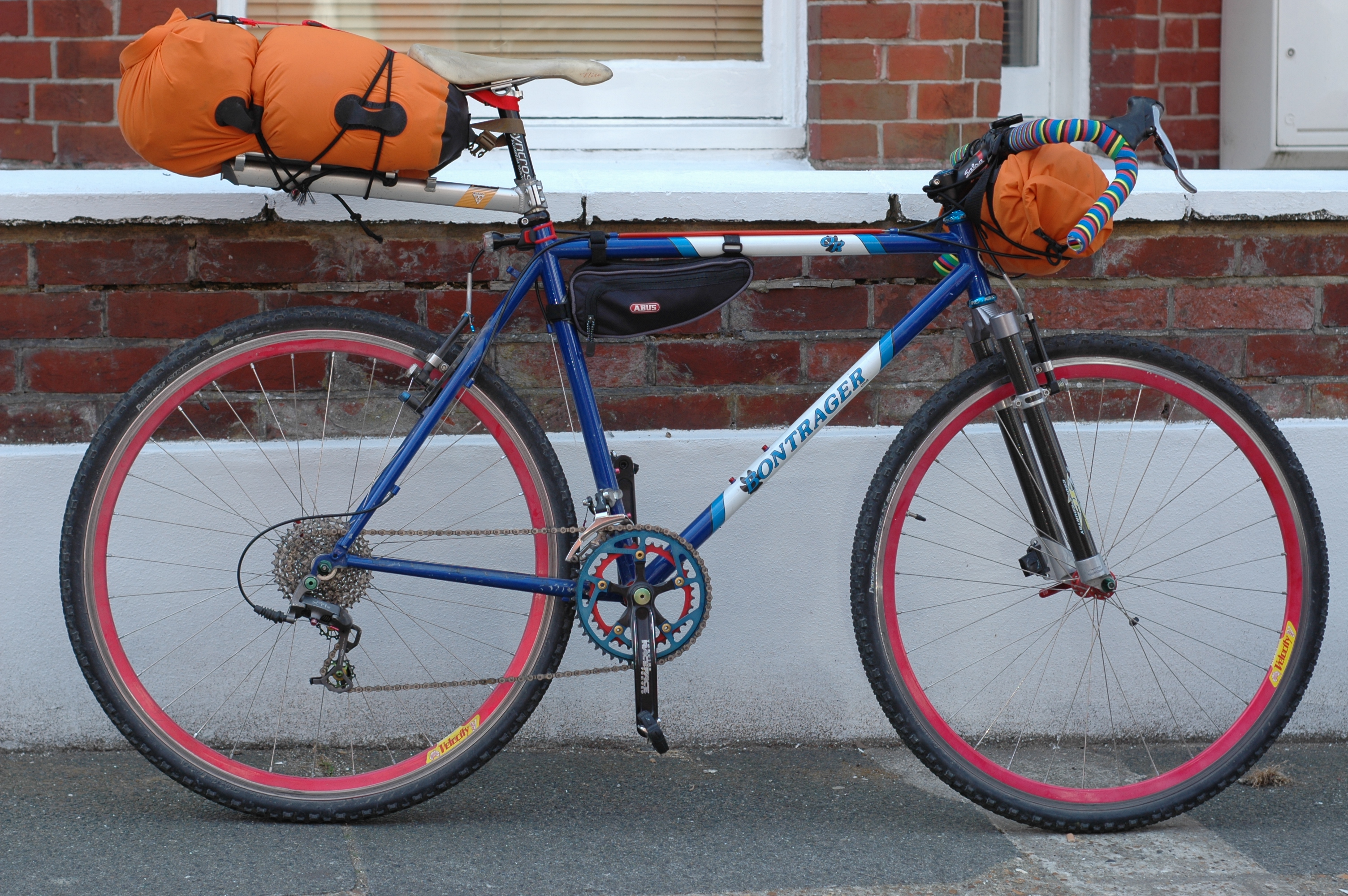
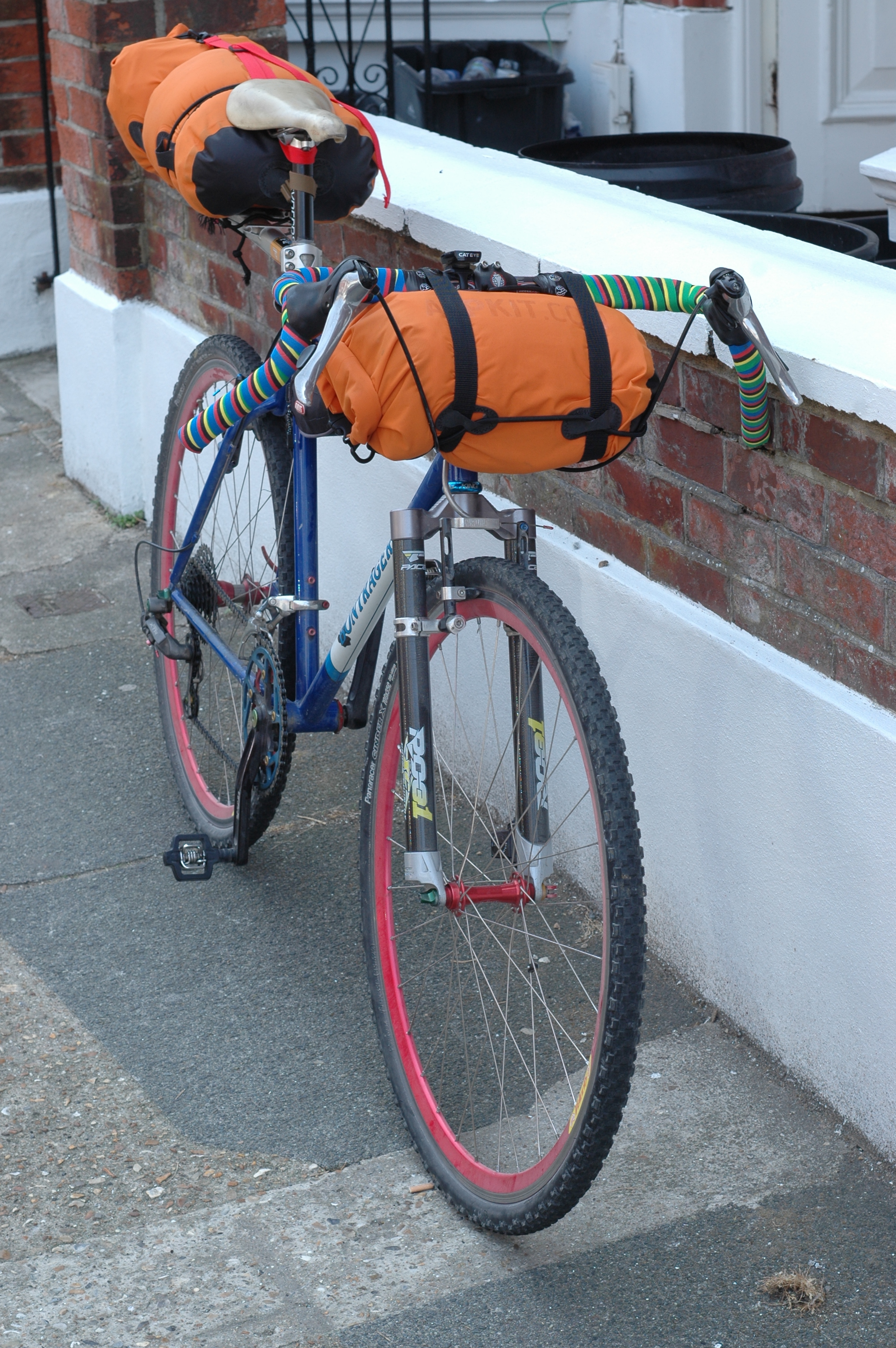