Routes » Trans North Georgia

Overview
The Trans North Georgia (TNGA) is a 350 mile mountain bike route through the mountains of North Georgia. It includes double and singletrack trails, forest roads and some pavement. The terrain is challenging, some sections have beautiful scenery and the route features over 56000 feet of climbing.
Route Details
The route is traditionally ridden east to west from the South Carolina state line on Highway 28 to the Alabama border on Highway 20. In that direction, the first 100 miles or so consists mostly of gravel and dirt roads and features some difficult climbing. Some of the roads are surprisingly technical and some have lots of creek crossings. This section is arguably the most scenic as well though.
Early in the route there is a mandatory hike-a-bike section where a horse trail is used to get over Wilson Gap and through an environmentally sensitive region. This section must be walked but it is less than a mile long.
The first singletrack of the route descends into the town of Helen and the trail is extrememly rough. Some riders question whether they are, in fact, on route during this section. Afterward there is a long section of mostly-road through “The Gaps” as it is called by local road cyclists. After climbing over Hogpen and Wolfpen Gaps the route returns to mostly gravel road as it approaches the Aska Adventure Area near the town of Blue Ridge.
There, riders experience the true, narrow, bench cut singletrack of Green Mountain and Stanley Gap before descding more gravel road into the community of Cherry Log where again the route alternates between long stretches of gravel and paved road.
After a long ride up Cashes Valley Road, the riders enter the Cohutta Mountains and alternate between the doubletrack of the South Fork and Pinhoti trails and more gravel roads. Ultimately road gives way to singletrack at Bear Creek and eventually the riders get back on the Pinhoti trail which they will take almost all the way to the Alabama border, some 150 or more miles away.
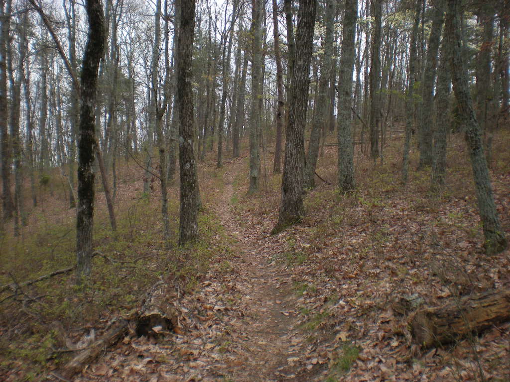
The Pinhoti is long, well-built and features every type of terrain and trail imaginable. Some sections are flowing, purpose-built, bench cut singletrack, others are conversions of old roadbeds, some follow gravel roads or even pavement. The final run out toward the Alabama border even follows an old rail bed. Some sections are steep, others roll, some are dead flat for miles. Some are remote and rarely used, others get heavy traffic, daily.
The final approach to the Alabama border follow a short section of Highway 100 and then Highway 20.
The route feels remote, lying mainly within the borders of the Chattahoochee National Forest. The only city on-route is Dalton, but there are plenty of opportunities to camp, both primitive camping and formal camp grounds, including several at state parks. There are a few stores, bike shops and opportunities for lodging on route and many more a mile or less off route in various places. Most notably, the Mulberry Gap Mountain Bike Getaway is less than a quarter mile off route, deep in the heart of the Cohuttas. Many out-of-state riders use Mulberry Gap as a staging point for the ride.
Event Details
The Trans North Georgia Mountain Bike Adventure is a self-supported thru-ride along the TNGA route, generally held in late August or early September depending on USFS review and the schedules of other nearby events. It is not a race but an adventure. Finishing times are recorded and sorted as a basis for future comparison but there is no podium ceremony and no prizes. Participants are required to register by signing a waiver and must carry a SPOT tracker while riding but there is no charge to ride. ITT’s are welcome any time and require no waiver or tracker.
Maps, GPS and Cue Sheets
(available at: http://www.firstworks.com/tnga/route.html)
Links
Trans North Georgia Moutain Bike Advenutre (http://www.firstworks.com/tnga)
Georgia Pinhoti Trail Association (http://pinhoti.info/joomla/index.php)
Is this route still viable for a spring 2016 passage? traveling west to east? are there permissions I need to get?
Yes, it’s still good. Check the TNGA website direct for any updates to the route. The event on the route happened in 2015.